


To the Sigrizalm and onto the Rechelkopf


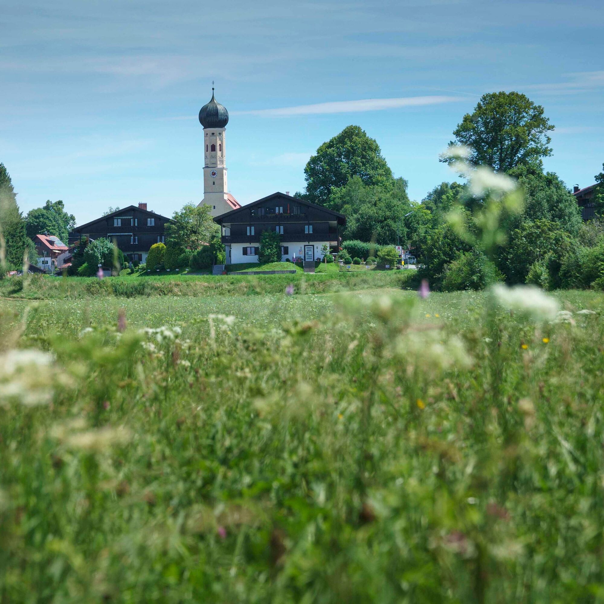
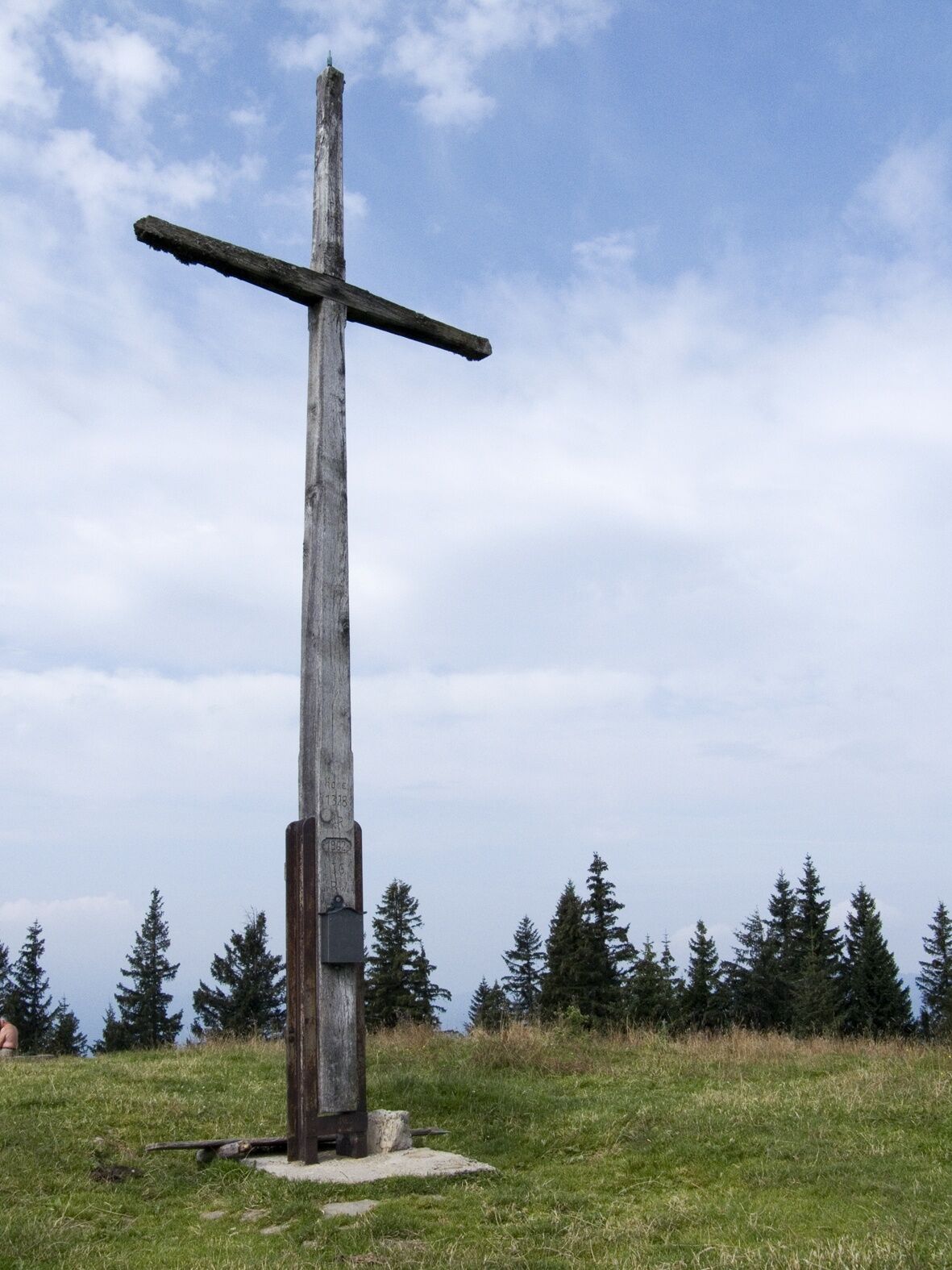
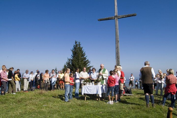
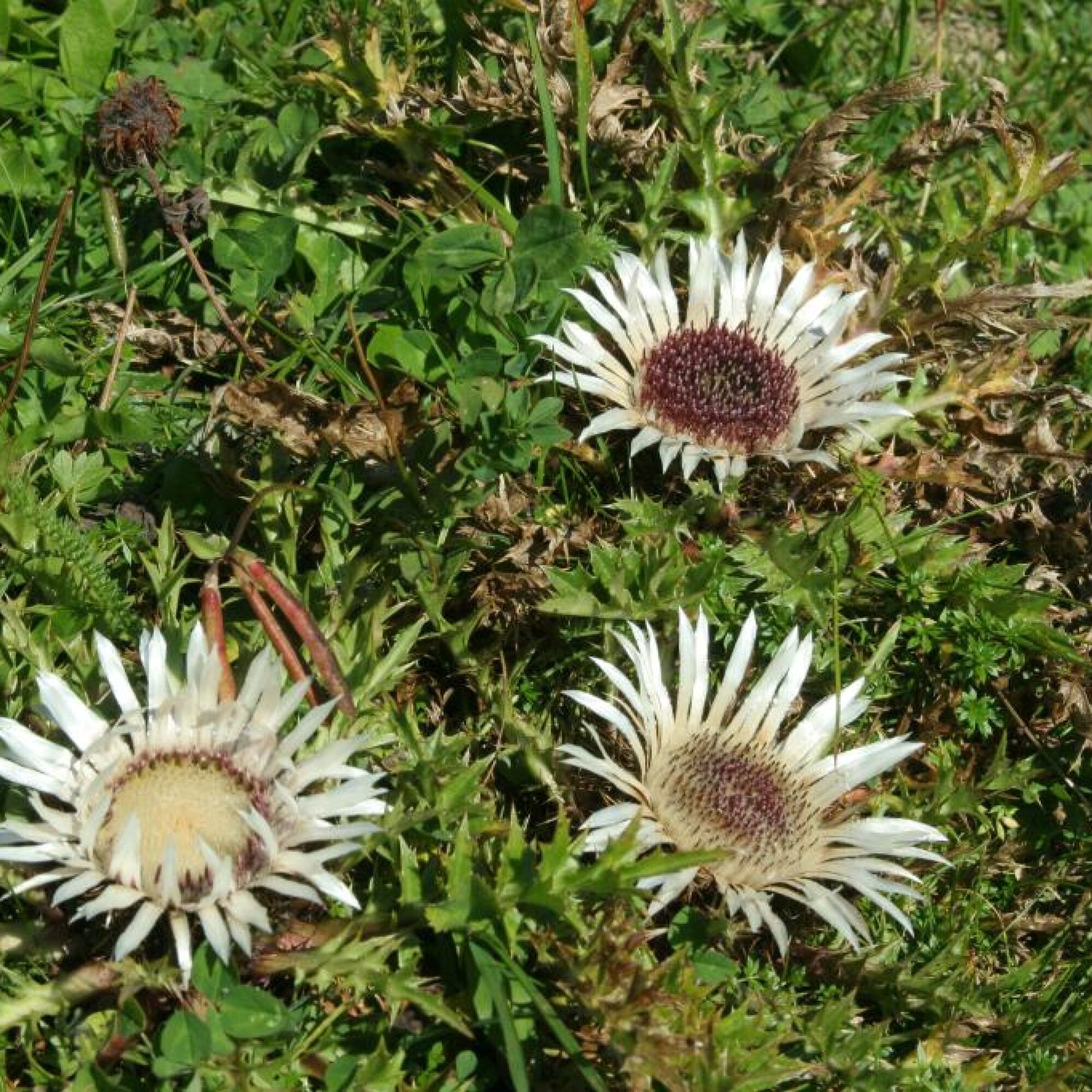
We leave our car in Marienstein in the area of the former cement factory. Coal mining was also carried out here in the past. We walk westwards towards the edge of the village. At the fork, we keep left and hike, initially moderately ascending, into the valley. We follow the signage towards Rechelkopf. The path becomes steeper and leads us up to the Sigrizalm (not operated). From here we follow the meadow path up to the Rechelkopf. At 1330 meters, it is one of the highest peaks in the mountains between Bad Tölz and the Tegernsee. Once at the top, we enjoy the wide view in all directions, especially the beautiful view towards the Karwendel mountains and to the Benediktenwand.
After a long rest and a snack up on the summit, we hike back to Marienstein via the Sigrizalm.
Áno
Áno
We recommend sturdy footwear and possibly trekking poles. Please remember to bring food, a mobile phone, change of clothes, and a first aid kit.
All information without guarantee. Walking and riding the described routes is at your own risk.
A8 to the Holzkirchen exit, via B318 and B472 towards Waakirchen. Through the district of Häuserdörfl and Mariensteiner Street to Marienstein.
Trains of the Bayerische Regiobahn (BRB) run hourly from Munich to Finsterwald. From there to the Gmund, Tölzer Berg bus stop and by bus line 357 to Marienstein. From there it's about 1.5 km to the starting point of the route.
Here you can find the current timetable information.
Waakirchen Marienstein
Obľúbené výlety v okolí
-
5,0
Gipfeltour auf den Wallberg
strednáTuristika 12,2 km -
4,7
Leonhardstein
strednáTuristika 8,17 km -
4,6
Lengrieser Hütte
strednáTuristika 10,6 km -
4,6
Roß- and Buchstein, Tegernsee Hut
ťažkéTuristika 14,4 km -
4,6
Aueralm/Zwerglberg
strednáTuristika 11,9 km -
4,2
Aueralm and Fockenstein
ťažkéTuristika 14,8 km -
3,6
Roß- und Buchstein
strednáTuristika 11,1 km -
4,0
Tegernsee Höhenweg - North
svetloTuristika 12,3 km -
4,2
Alpbach valley and Neureuth
strednáTuristika 12,9 km -
4,5
Sonntraten
svetloTuristika 5,03 km
Turistika a stopovanie


Nenechajte si ujsť ponuky a inšpiráciu na ďalšiu dovolenku
Vaša e-mailová adresa bol pridaný do poštového zoznamu.