


Gindelalmschneid
Úroveň náročnosti: 2


Fotografie našich používateľov
-
 © Thomas HiglerVytvorené dňa 28.06.2025
 -

 © Zsuzsa SzàntóVytvorené dňa 27.04.2025
 -
 © Zsuzsa SzàntóVytvorené dňa 27.04.2025
 -
 © Thomas HiglerVytvorené dňa 04.05.2023
 -
 © Thomas HiglerVytvorené dňa 04.05.2023
 -
 © Thomas HiglerVytvorené dňa 04.05.2023
 -
 © Thomas HiglerVytvorené dňa 04.05.2023
 -
 © Thomas HiglerVytvorené dňa 04.05.2023
 -
 © Mirka HoofVytvorené dňa 14.10.2022
 -
 © Jens von ZVytvorené dňa 31.10.2025
 -
 © Jens von ZVytvorené dňa 31.10.2025
 -
 © Jens von ZVytvorené dňa 31.10.2025
 -

 © Viola KrieteVytvorené dňa 01.10.2025
 -

 © Kilian SchädlerVytvorené dňa 16.09.2025
 -
 © Kilian SchädlerVytvorené dňa 16.09.2025
 -
 © se_muckVytvorené dňa 14.09.2025
 -
 © se_muckVytvorené dňa 14.09.2025
 -
 © Katrin RupprechtVytvorené dňa 07.09.2025
 -
 © FabianVytvorené dňa 24.08.2025
 -
 © KarinaVytvorené dňa 23.08.2025
 -
 © se_muckVytvorené dňa 07.08.2025
 -

 © STARKLOFF GeoffroyVytvorené dňa 07.08.2025
 -

 © Henrik RegenVytvorené dňa 14.07.2025
 -
 © Thomas HiglerVytvorené dňa 11.07.2025
 -
 © Arne WestphalVytvorené dňa 29.06.2025
 -
 © Arne WestphalVytvorené dňa 29.06.2025
 -
 © Arne WestphalVytvorené dňa 29.06.2025
 -
 © Denis KähmannVytvorené dňa 21.06.2025
 -
 © Denis KähmannVytvorené dňa 21.06.2025
 -
 © Denis KähmannVytvorené dňa 21.06.2025
 -
 © Denis KähmannVytvorené dňa 21.06.2025
 -

 © Thomas HeßVytvorené dňa 03.06.2025
 -
 © Thomas HeßVytvorené dňa 03.06.2025
 -
 © Thomas HeßVytvorené dňa 03.06.2025
 -
 © Alfred SendlhoferVytvorené dňa 30.05.2025
 -
 © Thomas HiglerVytvorené dňa 15.05.2025
 -
 © Thomas HiglerVytvorené dňa 15.05.2025
 -
 © Marion P.Vytvorené dňa 14.05.2025
 -
 © Marion P.Vytvorené dňa 14.05.2025
 -
 © Marion P.Vytvorené dňa 14.05.2025
 -
 © Marion P.Vytvorené dňa 14.05.2025
 -
 © Katrin RupprechtVytvorené dňa 04.05.2025
 -
 © Zsuzsa SzàntóVytvorené dňa 27.04.2025
 -
 © Zsuzsa SzàntóVytvorené dňa 27.04.2025
 -
 © Zsuzsa SzàntóVytvorené dňa 27.04.2025
 -
 © Zsuzsa SzàntóVytvorené dňa 27.04.2025
 -
 © Vanessa BangertVytvorené dňa 13.04.2025
 -
 © Vanessa BangertVytvorené dňa 13.04.2025
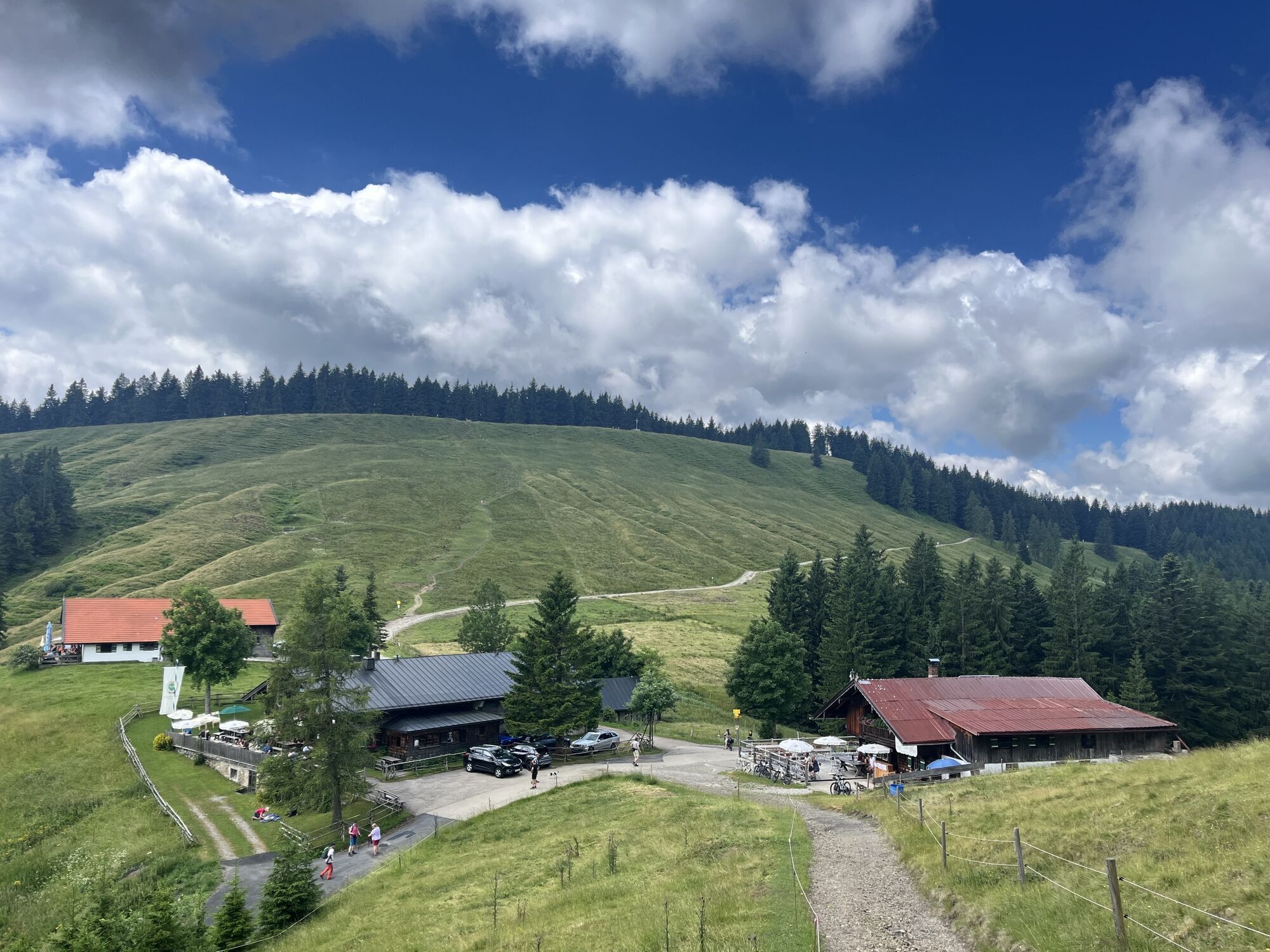

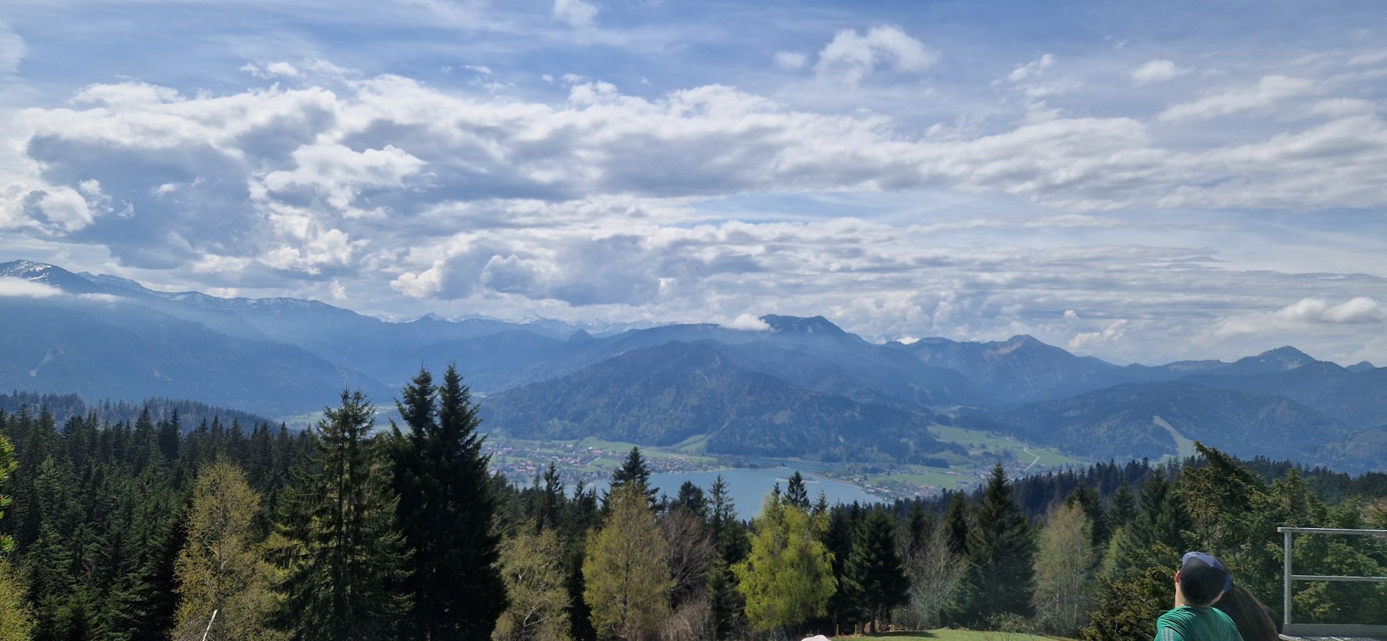

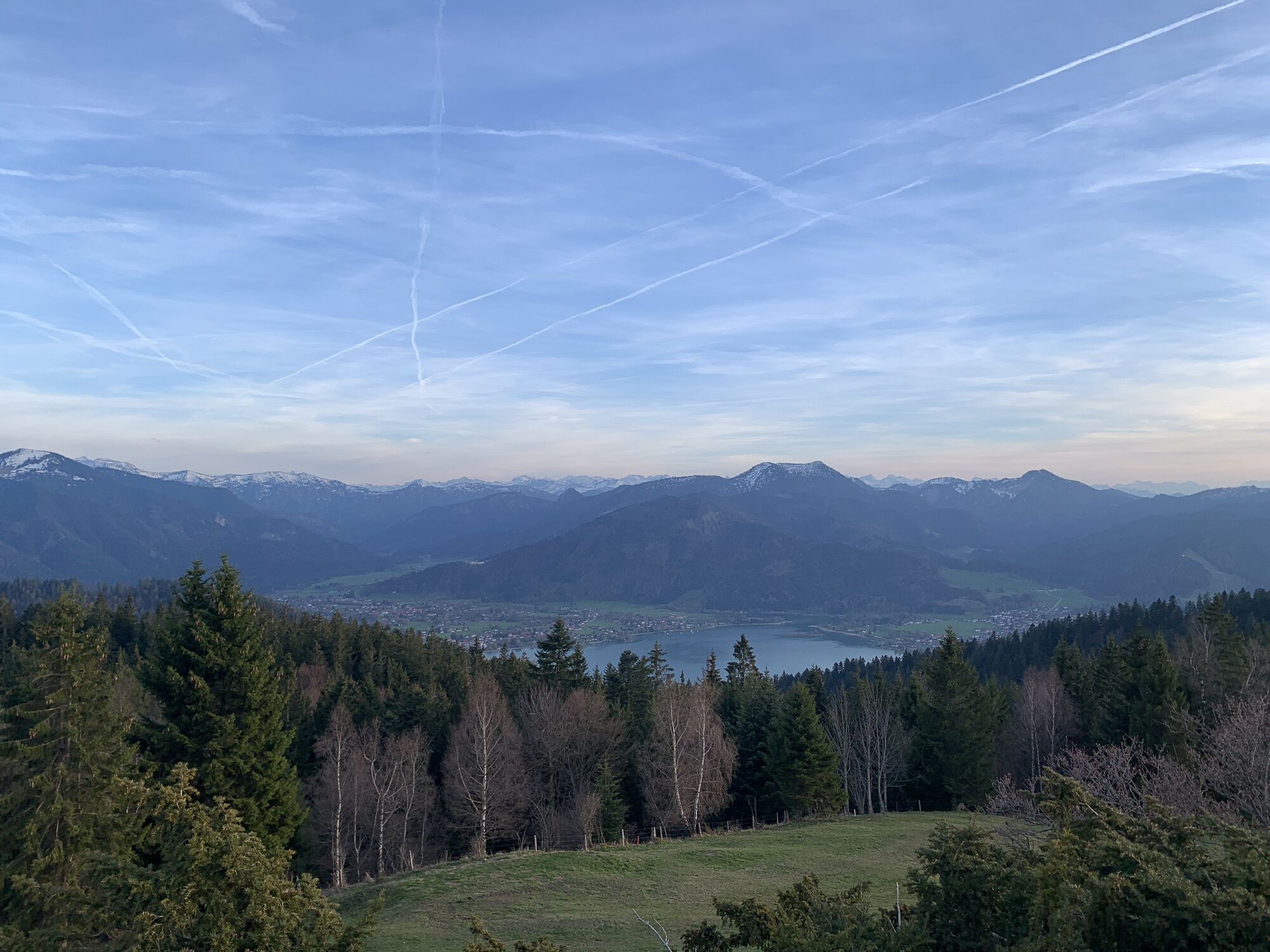
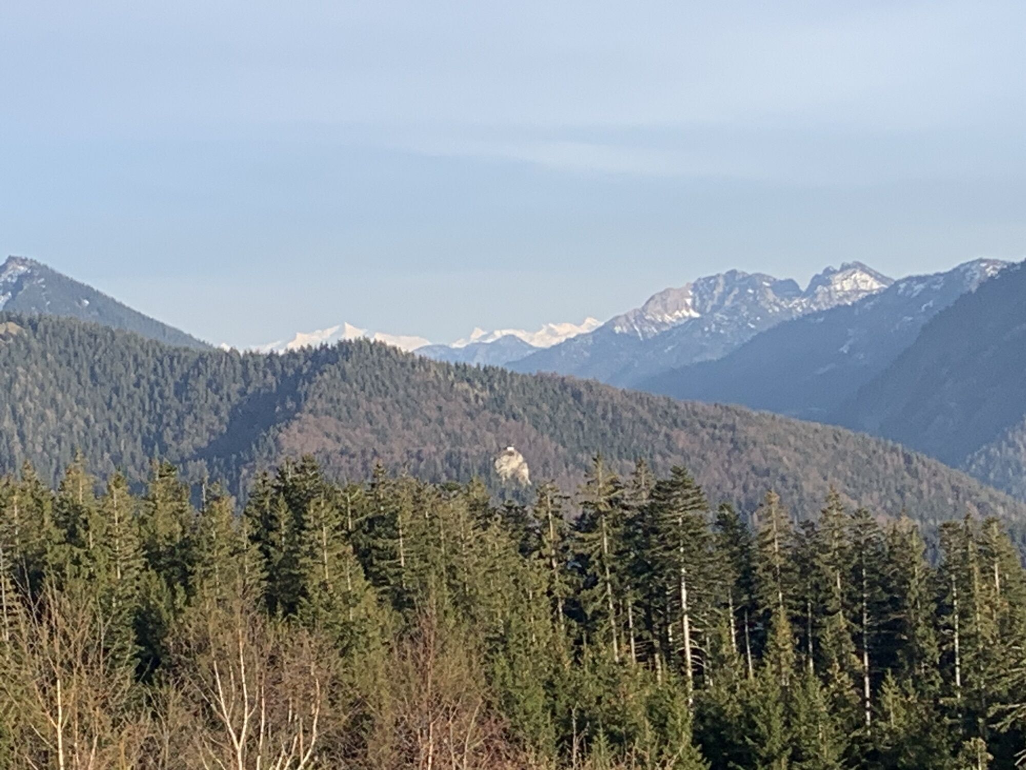
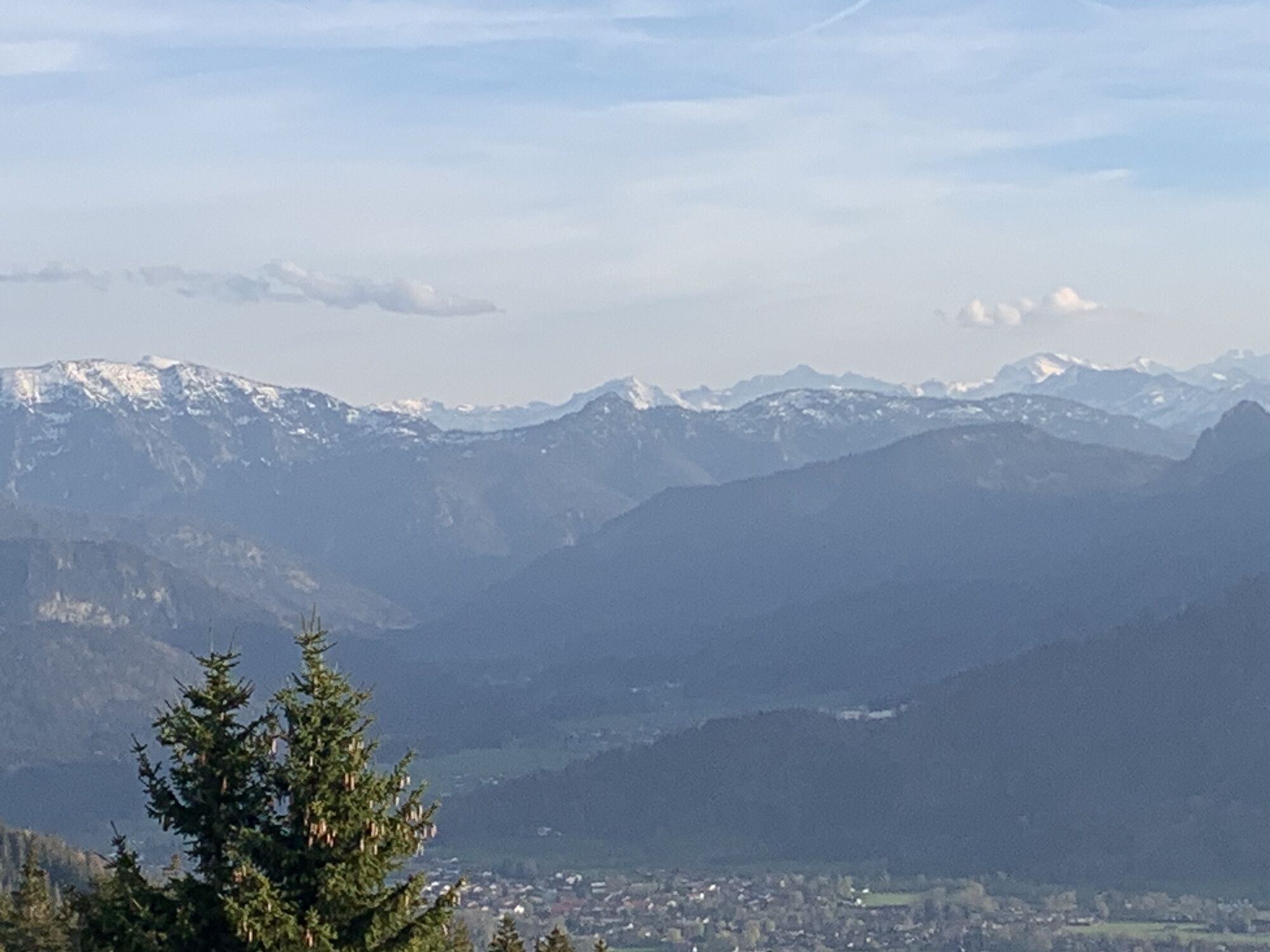
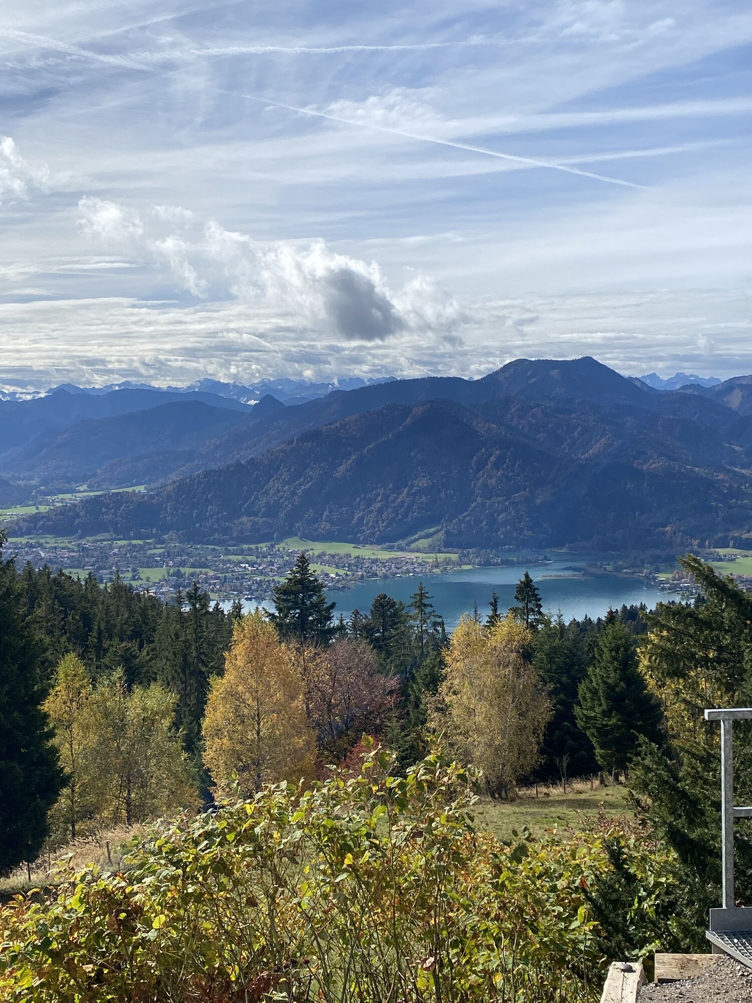


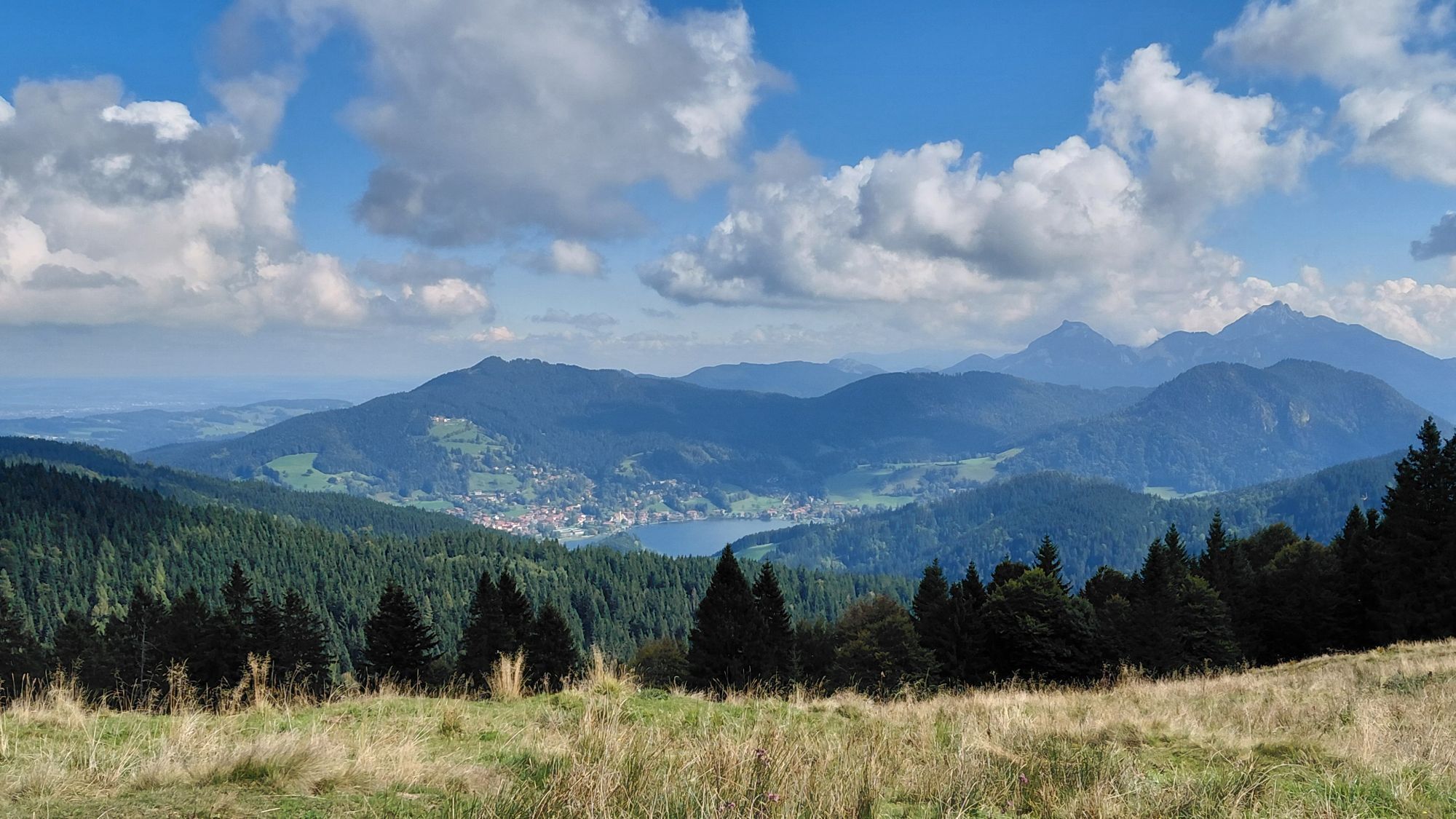
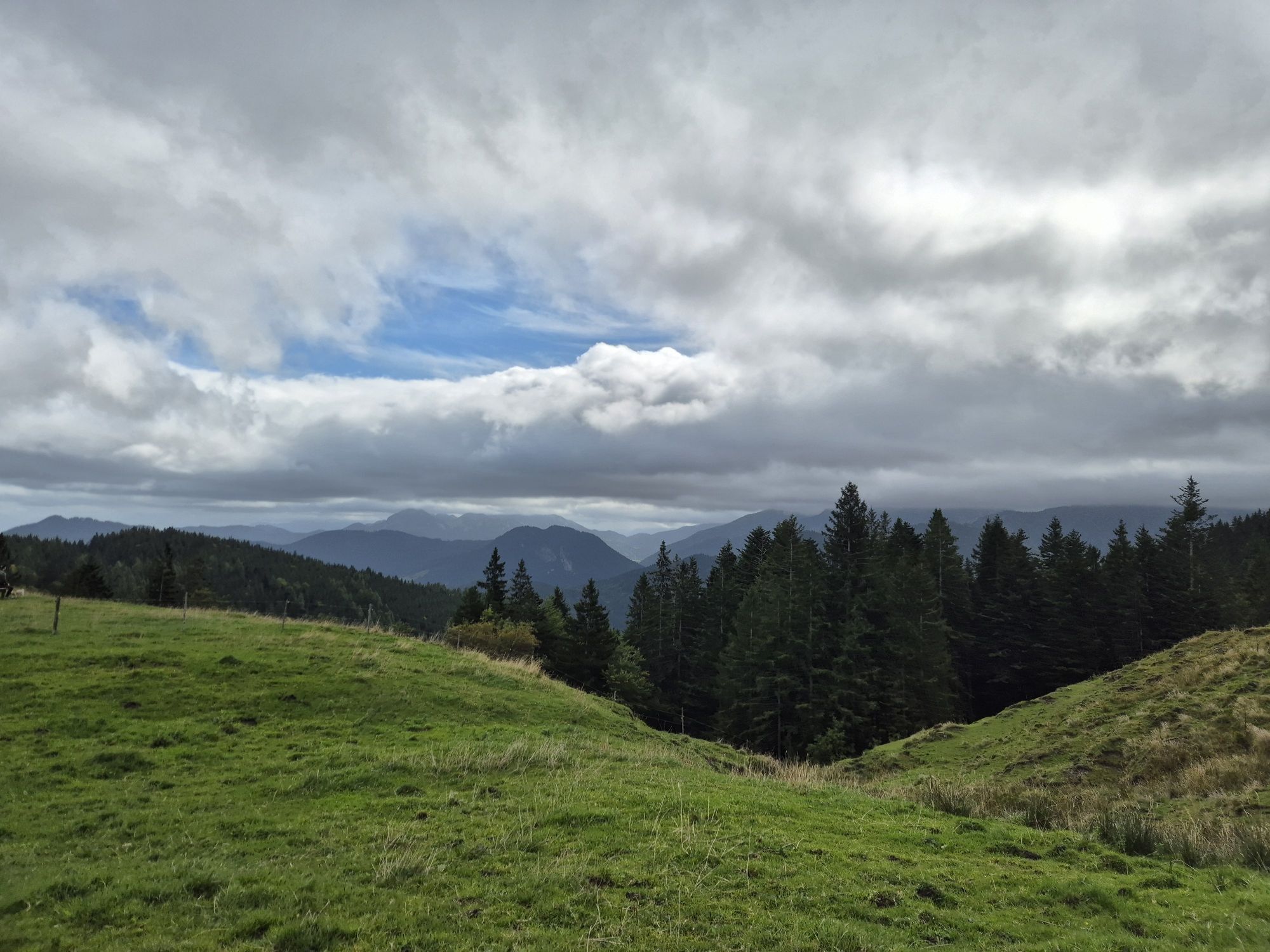


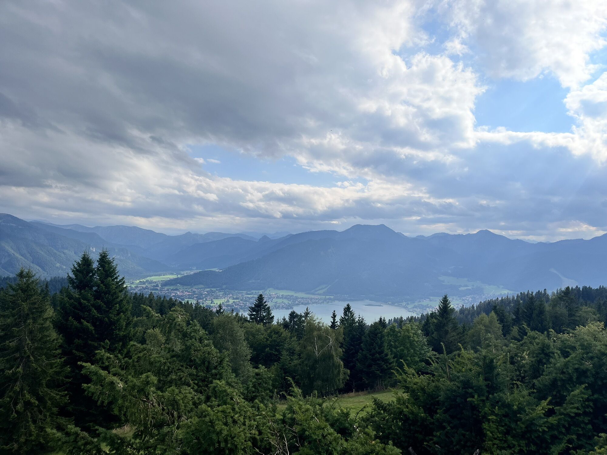
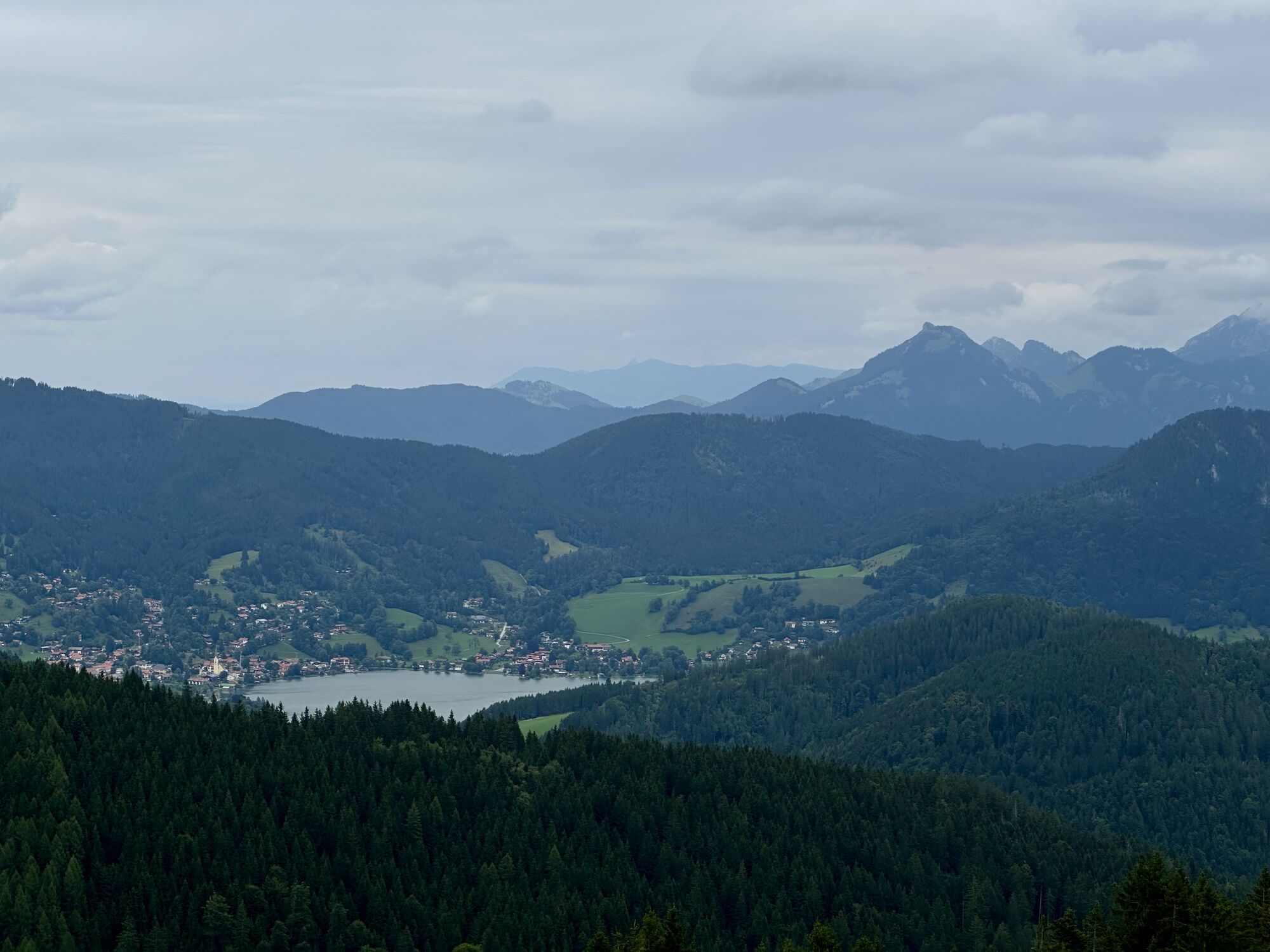

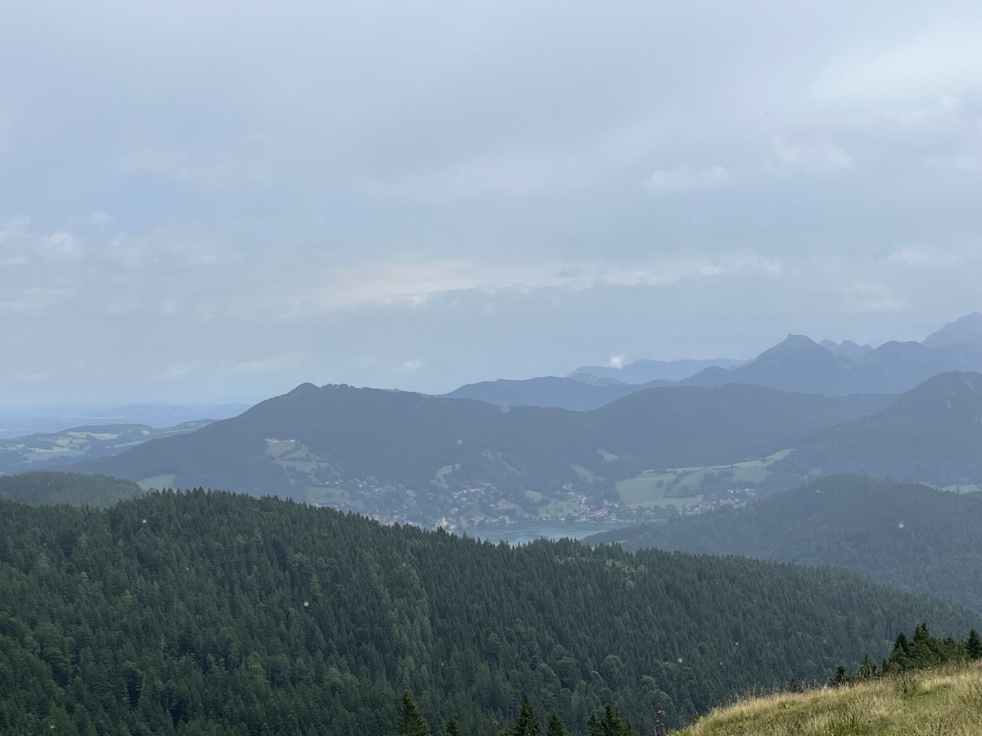
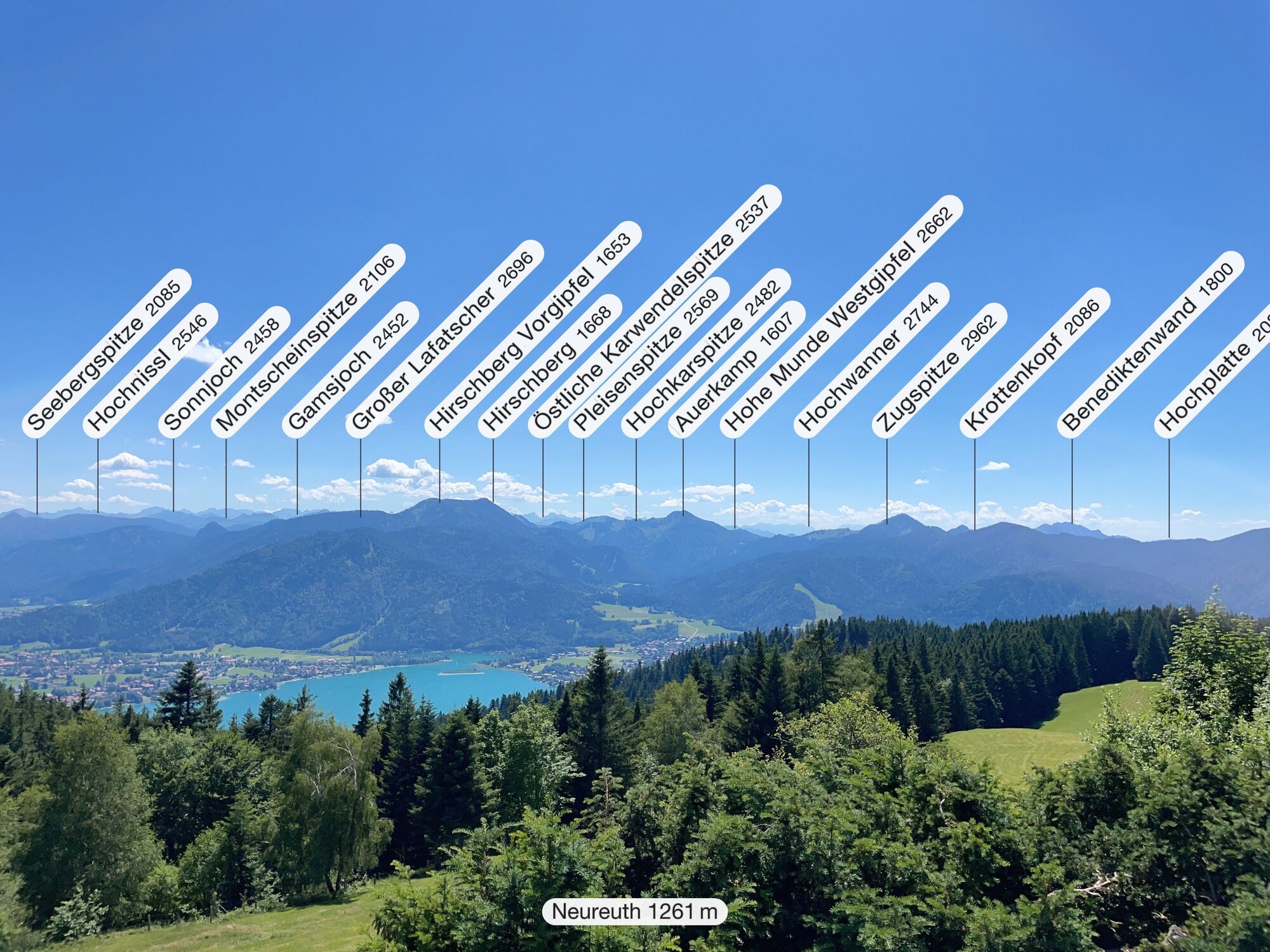


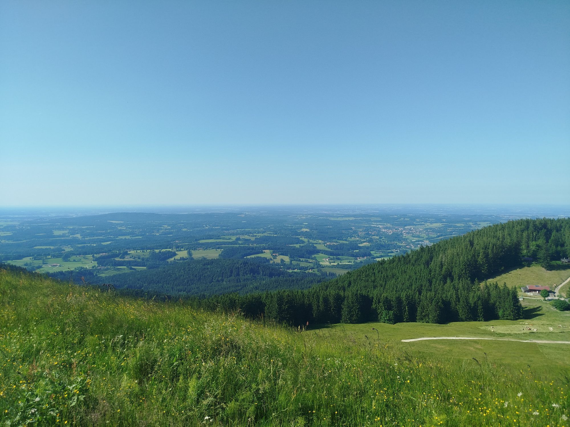

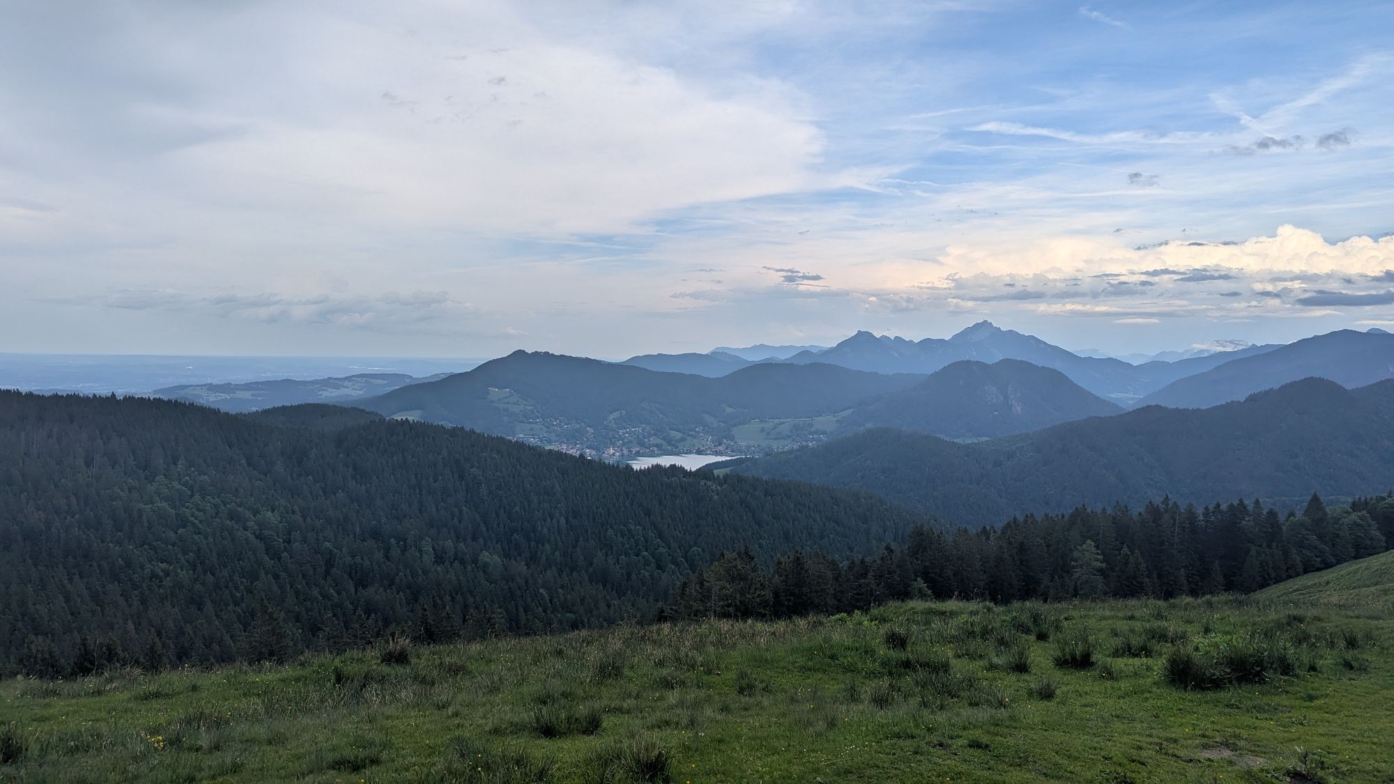


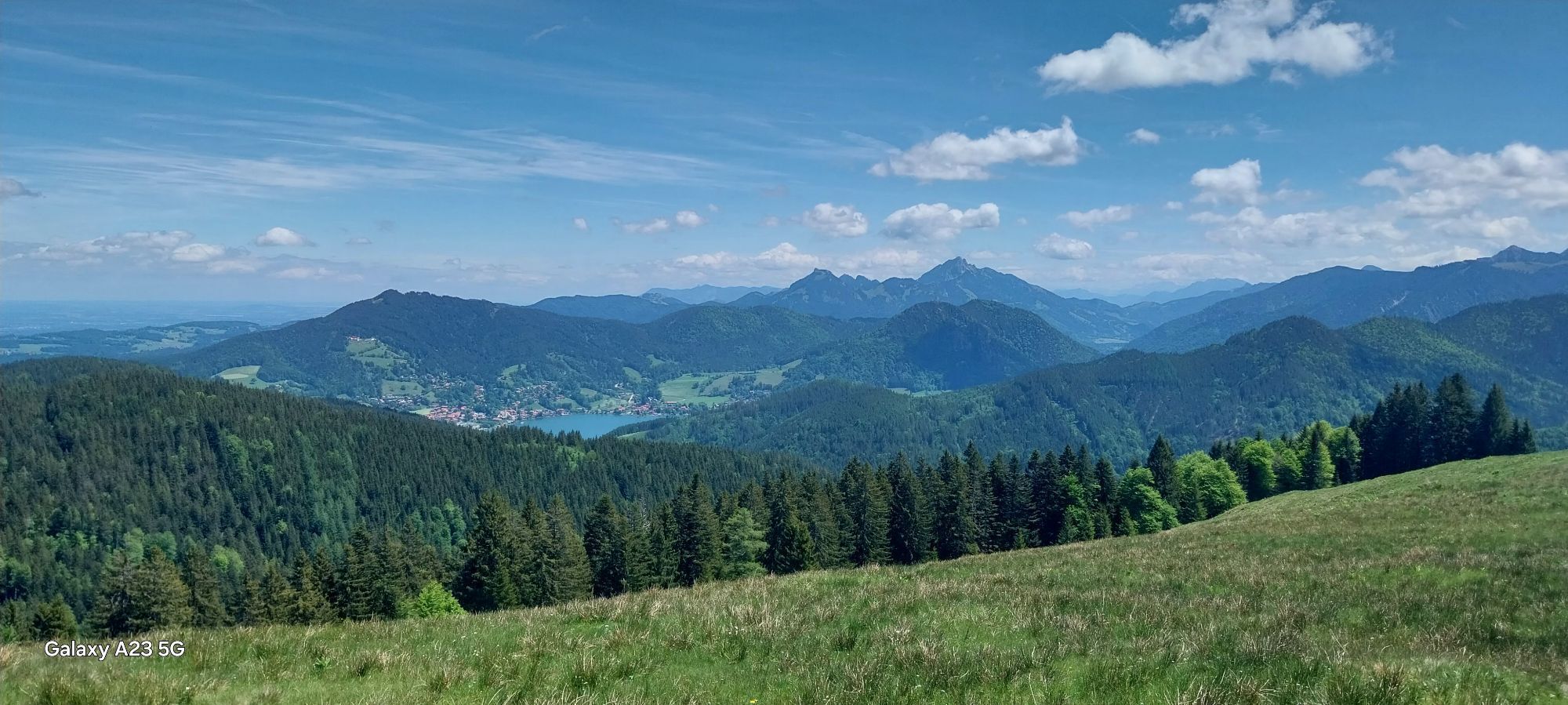


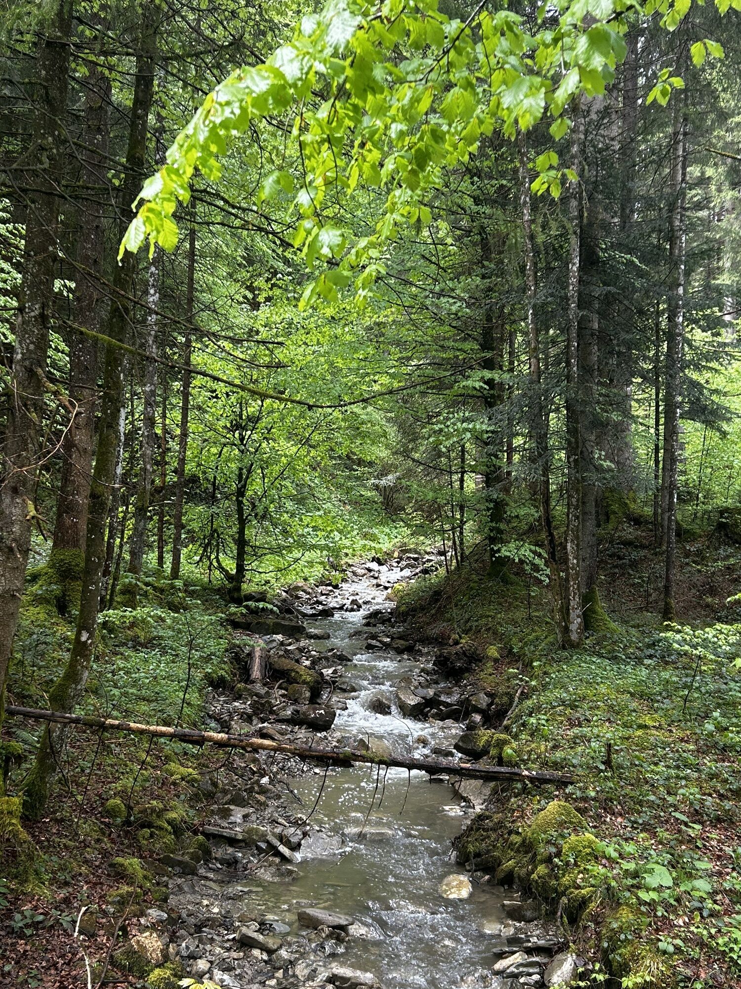


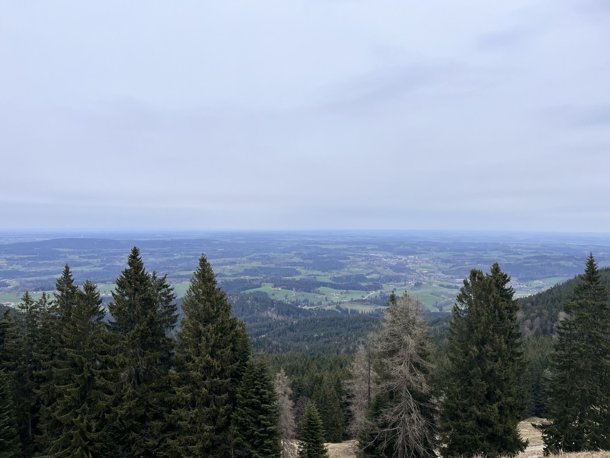
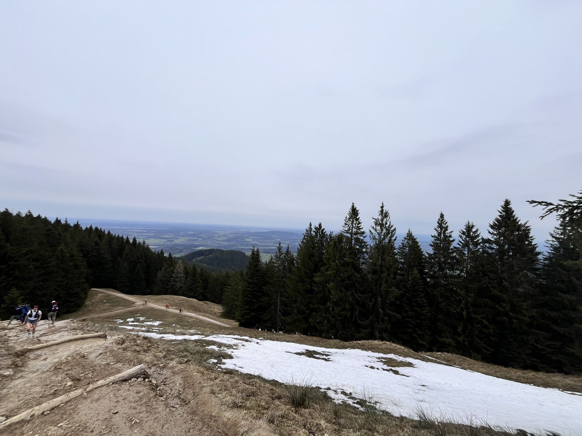
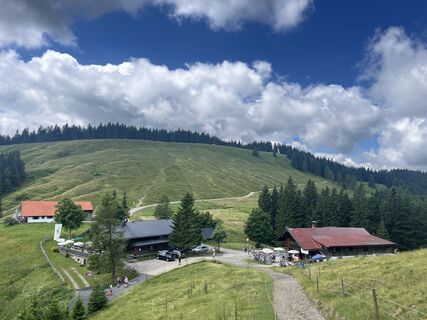
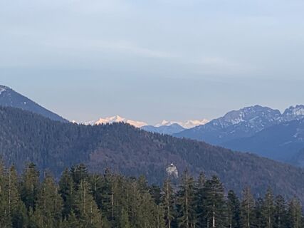
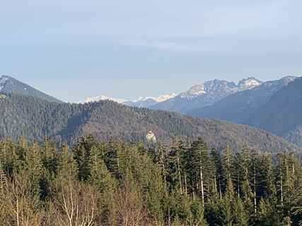
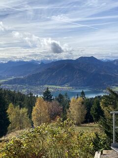
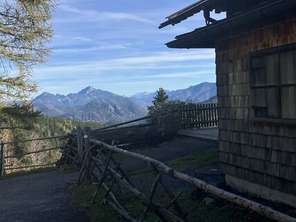
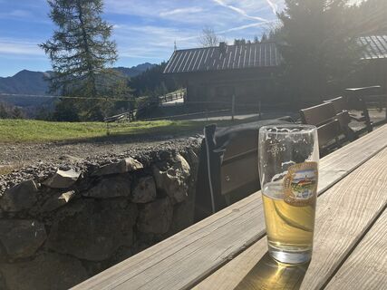
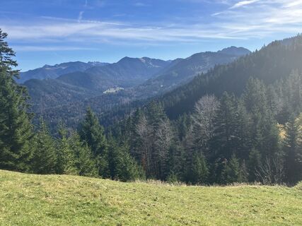
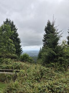
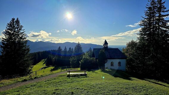
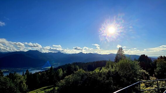
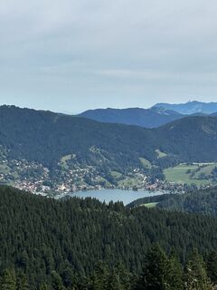
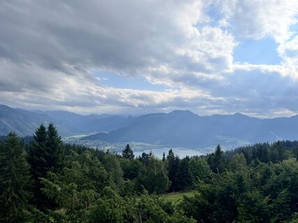
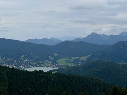
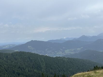
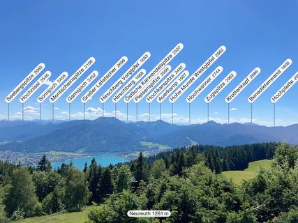
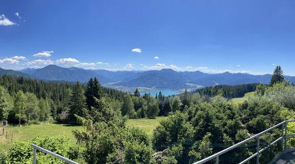
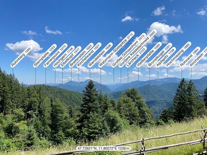
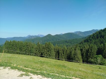
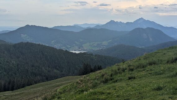
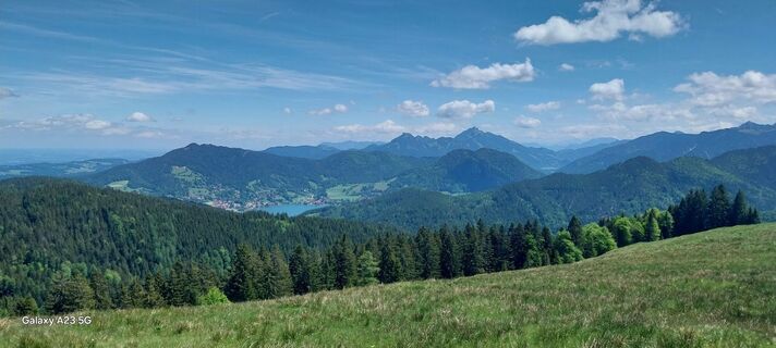
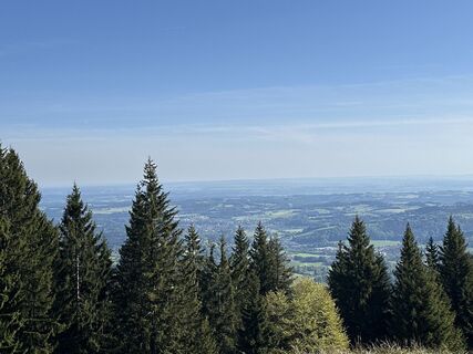
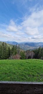
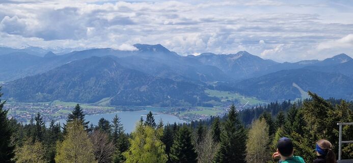
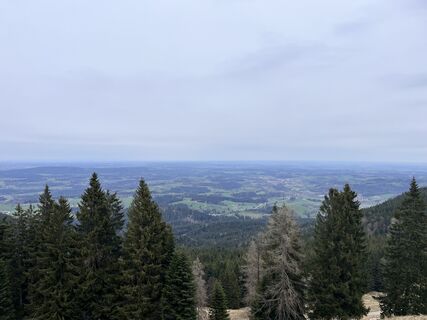
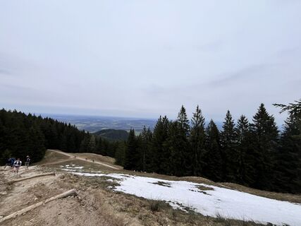
This moderately difficult route covers 12.5 km up to the Gindelalmschneid, from which you have a wonderful view over the Schliersee. Then you can optionally continue to the Neureuth, which offers magnificent...
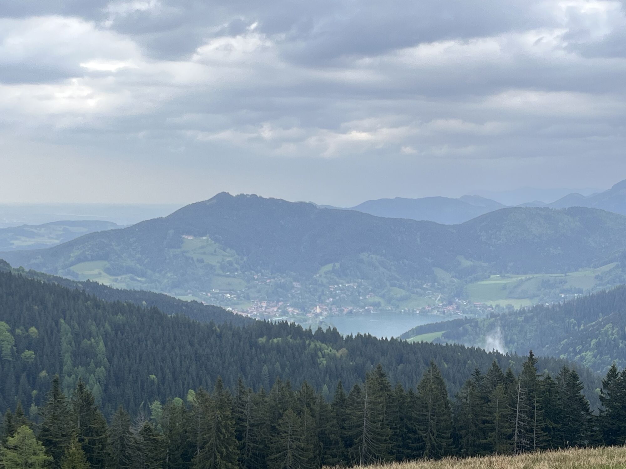
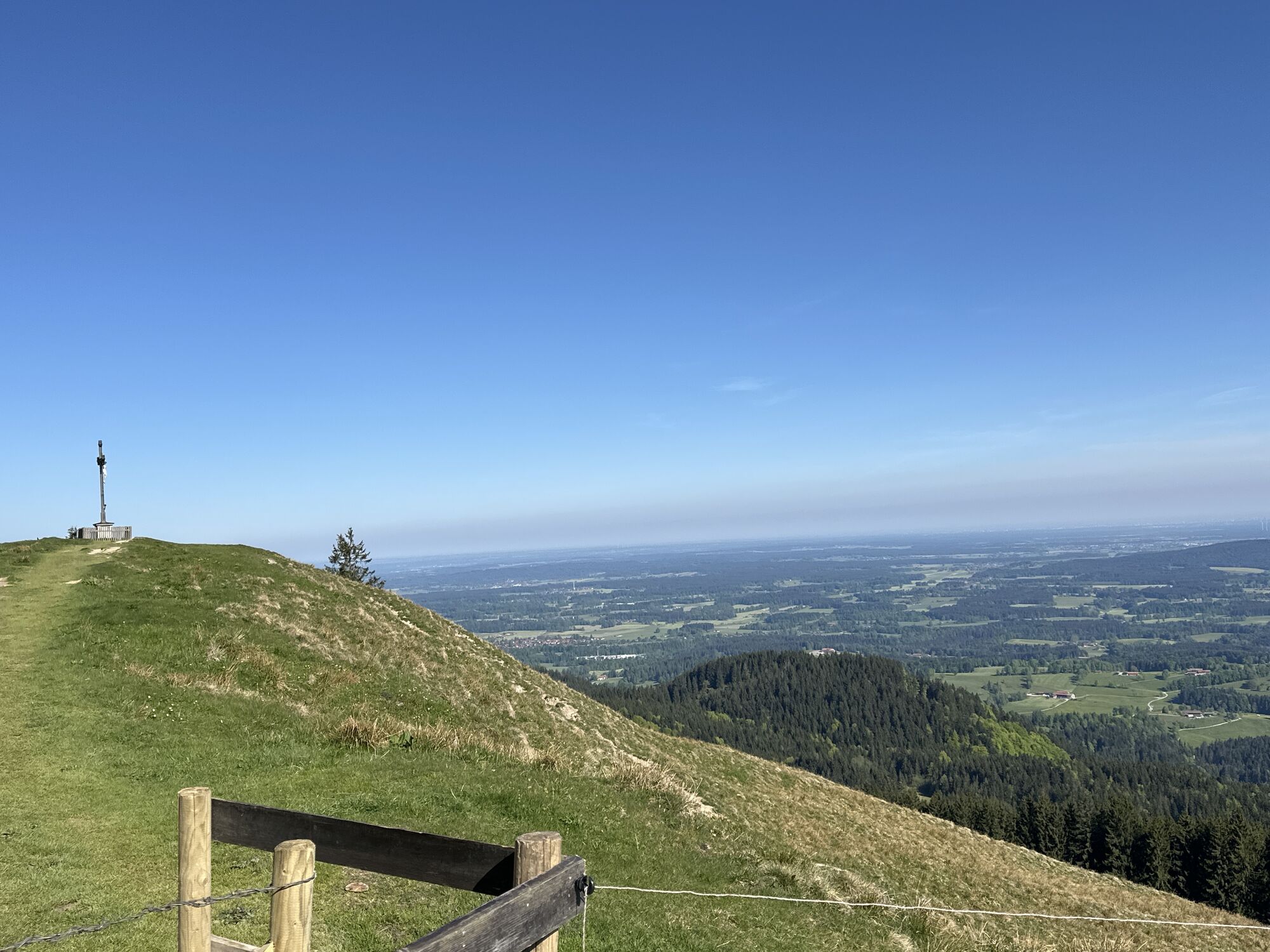
This moderately difficult route covers 12.5 km up to the Gindelalmschneid, from which you have a wonderful view over the Schliersee. Then you can optionally continue to the Neureuth, which offers magnificent views of the Tegernsee.

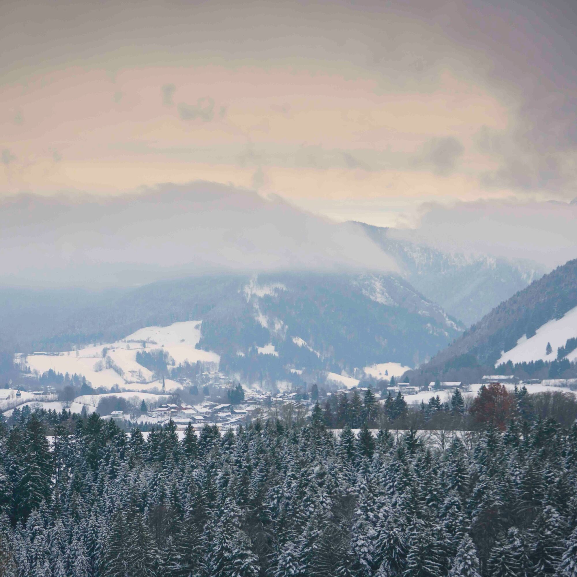
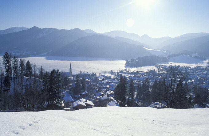
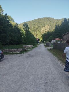
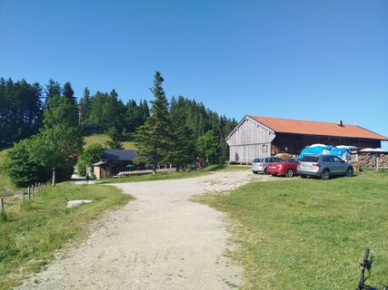
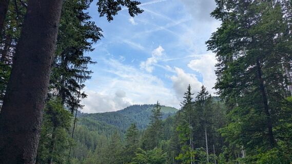
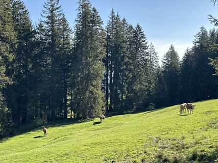
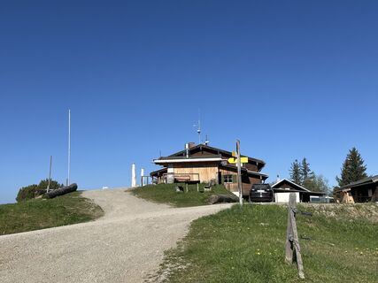
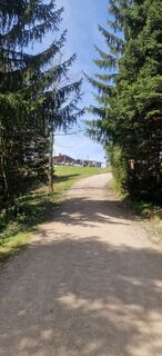
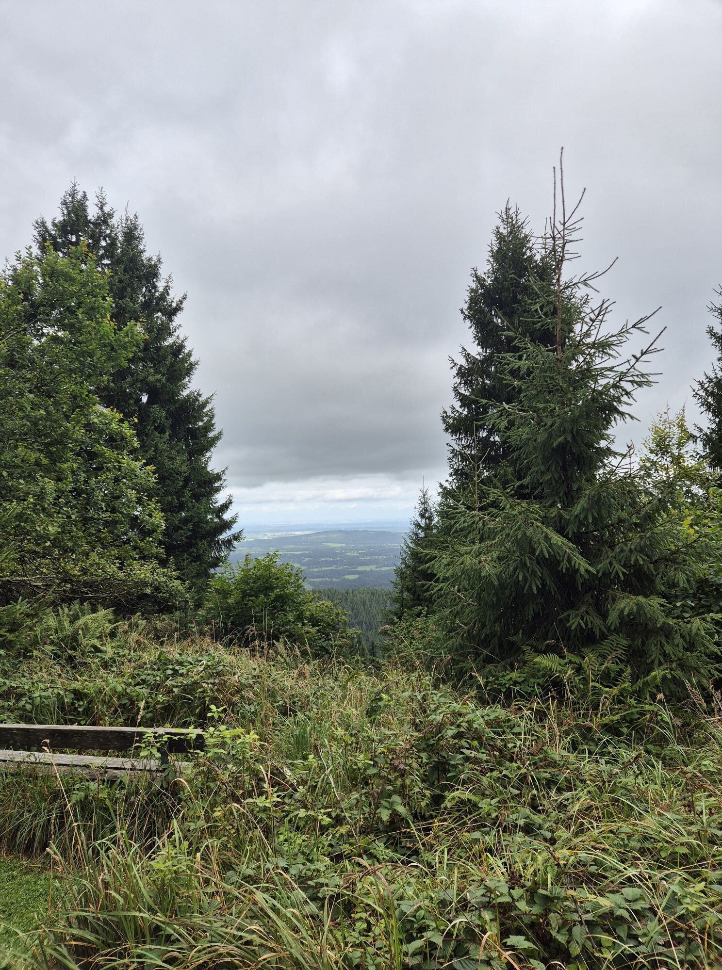
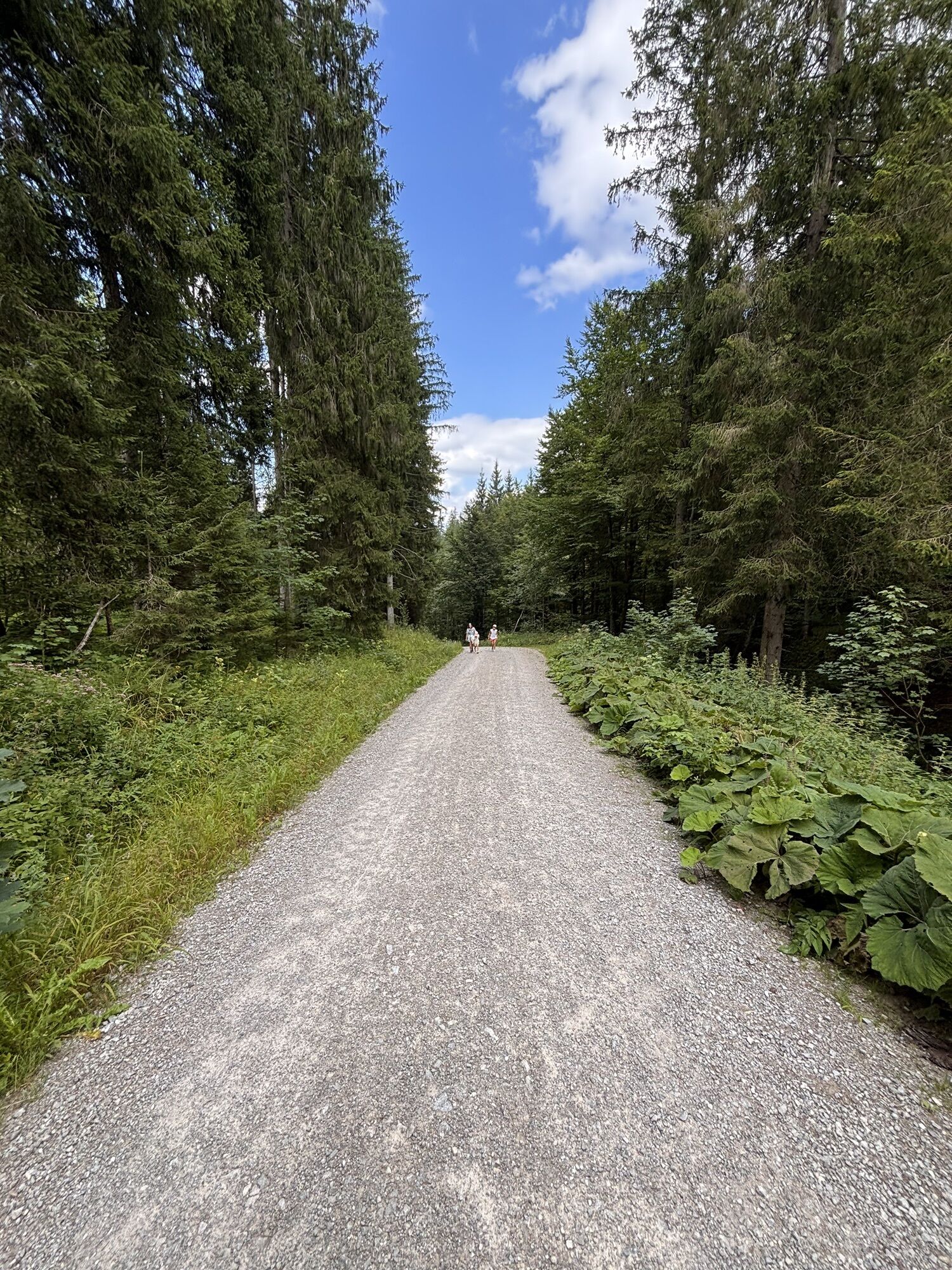
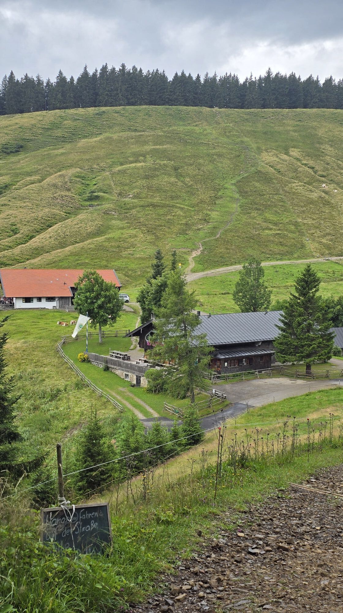
The hike starts at the Schliersee-Hennerer parking lot. From here we walk towards Kreuzbergalm via the Prinzenweg. Next is the Gindelalmschneid. From there, another path with little elevation change leads to the Neureuth mountain inn, where you can stop by and enjoy the wonderful view. The return follows the same path back to the Gindelalmschneid. The descent leads through the Schilchental and brings us back to the parking lot.
We recommend sturdy footwear and poles. Please remember to bring food, a mobile phone, change of clothes, and a first aid kit.
All information without guarantee. Hiking and riding the routes described here is at your own risk.
A8 to Weyarn exit, via St2073 to Miesbach and then via B307 to Schliersee
Trains of the Bavarian Regiobahn (BRB) run hourly from Munich to Schliersee. From the station, it is about 3.3 km on foot to the starting point of the route.
Traveling by public transport is therefore only partially recommended.
Here you can find the current timetable information.
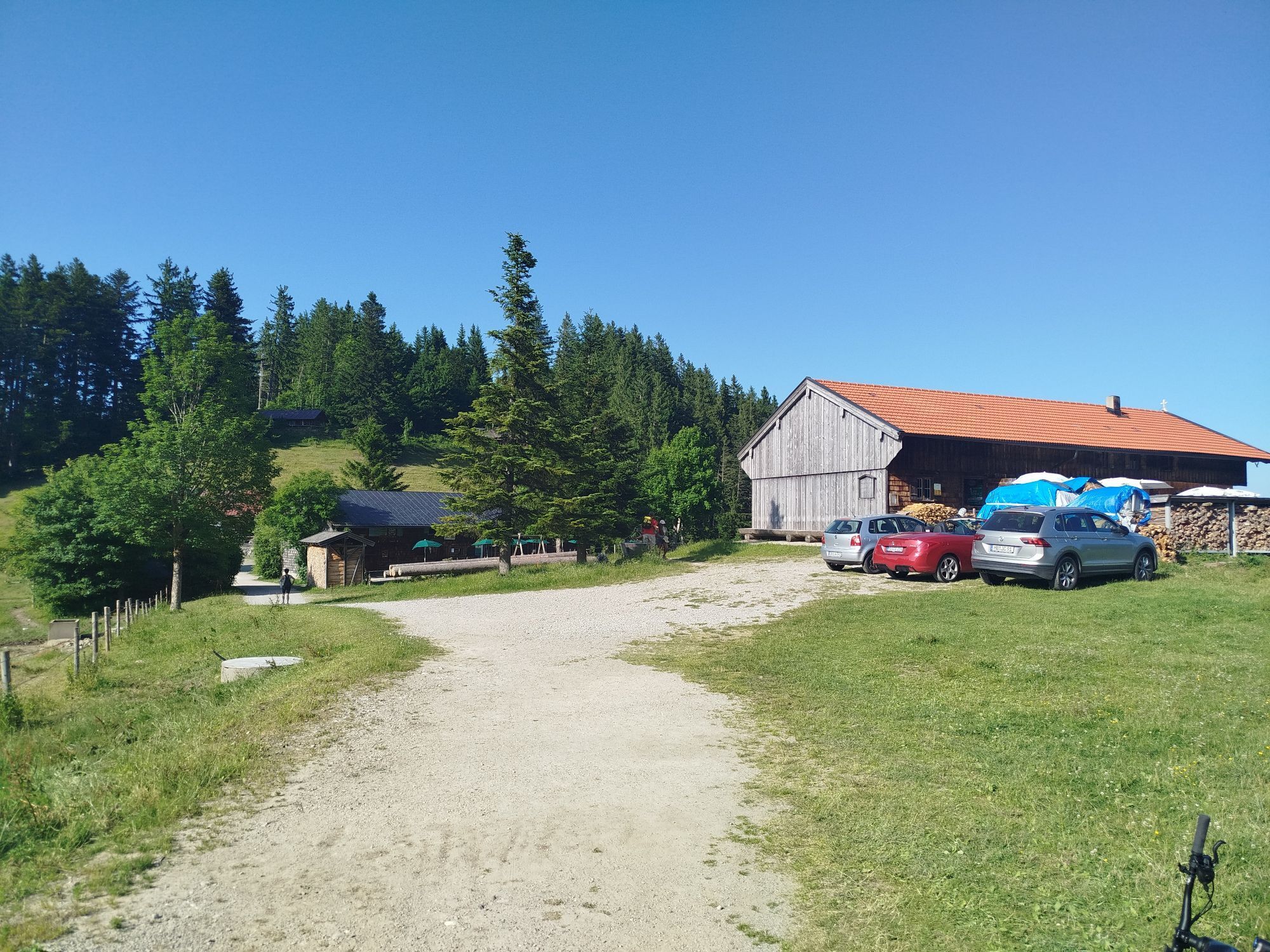
Hennerer parking lot
2
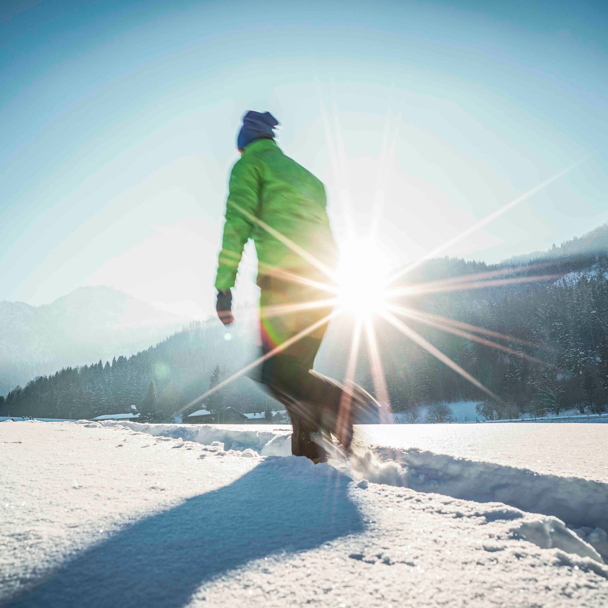
Under appropriate snow conditions, this route is also ideal for snowshoe hiking.
Webové kamery z prehliadky
-
Schliersberg Alm
-
Ödberg Talstation
-
Hausham
-
Schliersee - Café Milchhäusl
-
Hausham
-
Prasserbad - Rottach-Egern am Tegernsee
-
Rottach - Egern / Cafe Angermaier
-
Schliersee
-
Tegernsee West
-
Ödberg Bergstation
-
Anderlbauer Schliersee
-
Ödberg Lift - Kinderland
-
Anderlbauer Schliersee
-
Ödberg Sommerrodelbahn
-
Ödberg Campingplatz
Obľúbené výlety v okolí
-
4,8
Breitenstein
strednáTuristika 9,13 km -
5,0
Gipfeltour auf den Wallberg
strednáTuristika 12,2 km -
4,0
Von der Kistenwinterstube zum Risserkogel
strednáTuristika 10,4 km -
4,0
Jägerkamp und Benzingspitze
strednáTuristika 8 km -
4,7
Leonhardstein
strednáTuristika 8,17 km -
4,6
Roß- and Buchstein, Tegernsee Hut
ťažkéTuristika 14,4 km -
5,0
Durch den Pfanngraben auf die Rotwand
strednáTuristika 18,4 km -
4,8
Brecherspitze
strednáTuristika 14,5 km -
4,6
Aueralm/Zwerglberg
strednáTuristika 11,9 km -
4,5
Brecherspitz-Runde auf dem Normalweg Schliersee, Bayern
strednáTuristika 11,3 km
Turistika a stopovanie


Nenechajte si ujsť ponuky a inšpiráciu na ďalšiu dovolenku
Vaša e-mailová adresa bol pridaný do poštového zoznamu.