


ViaJacobi Stage 12 (SchweizMobil 4)


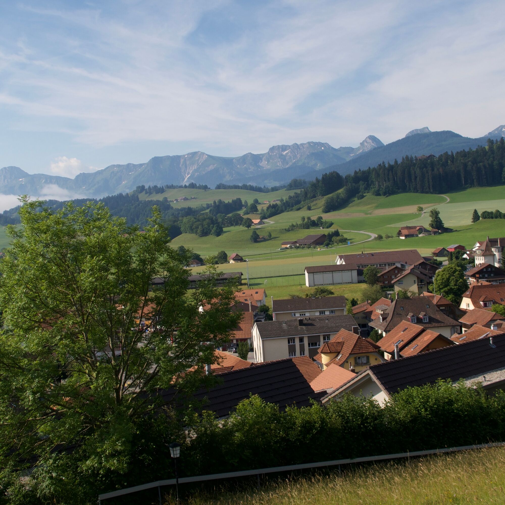
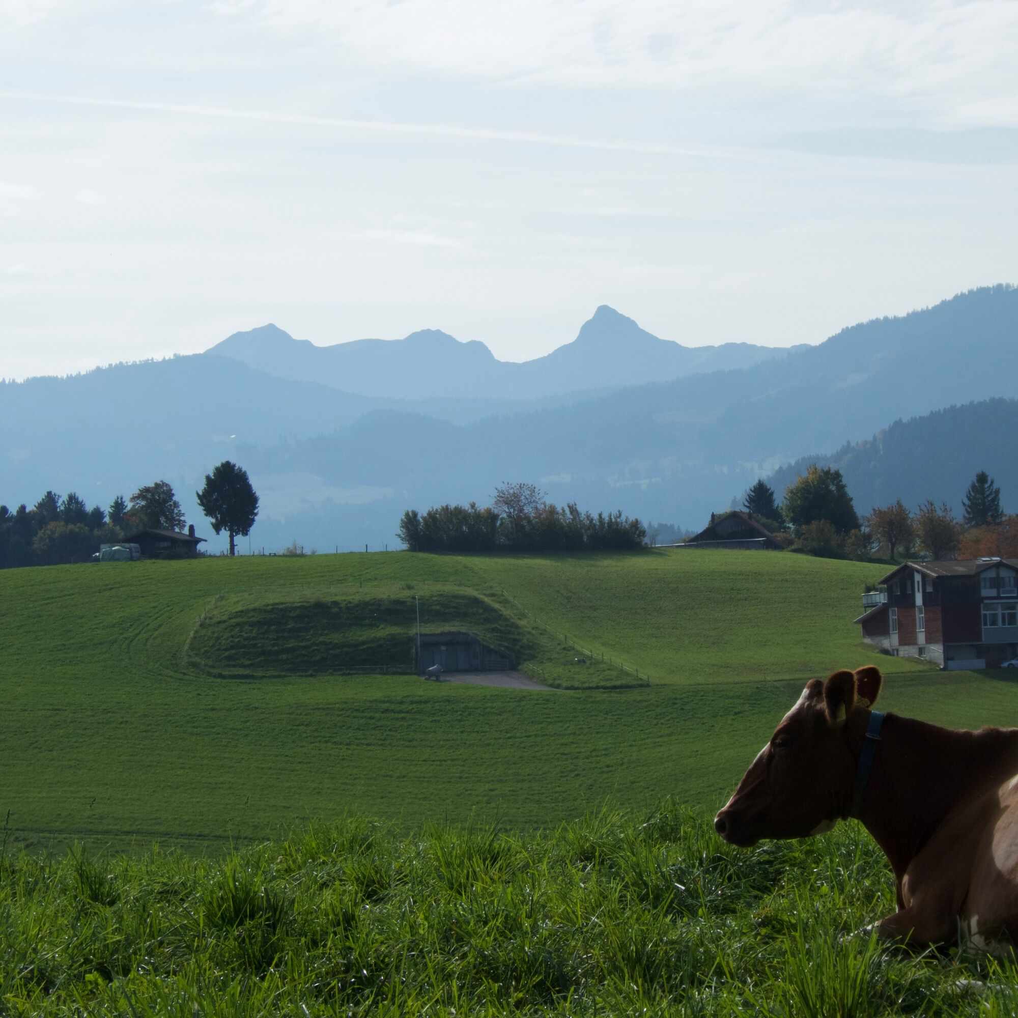
At the eastern edge of the Gantrisch Nature Park lies Wattenwil in the flat Gürbetal. This is the starting point of this stage. When ascending towards Burgistein, there is a magnificent view of Lake Thun...
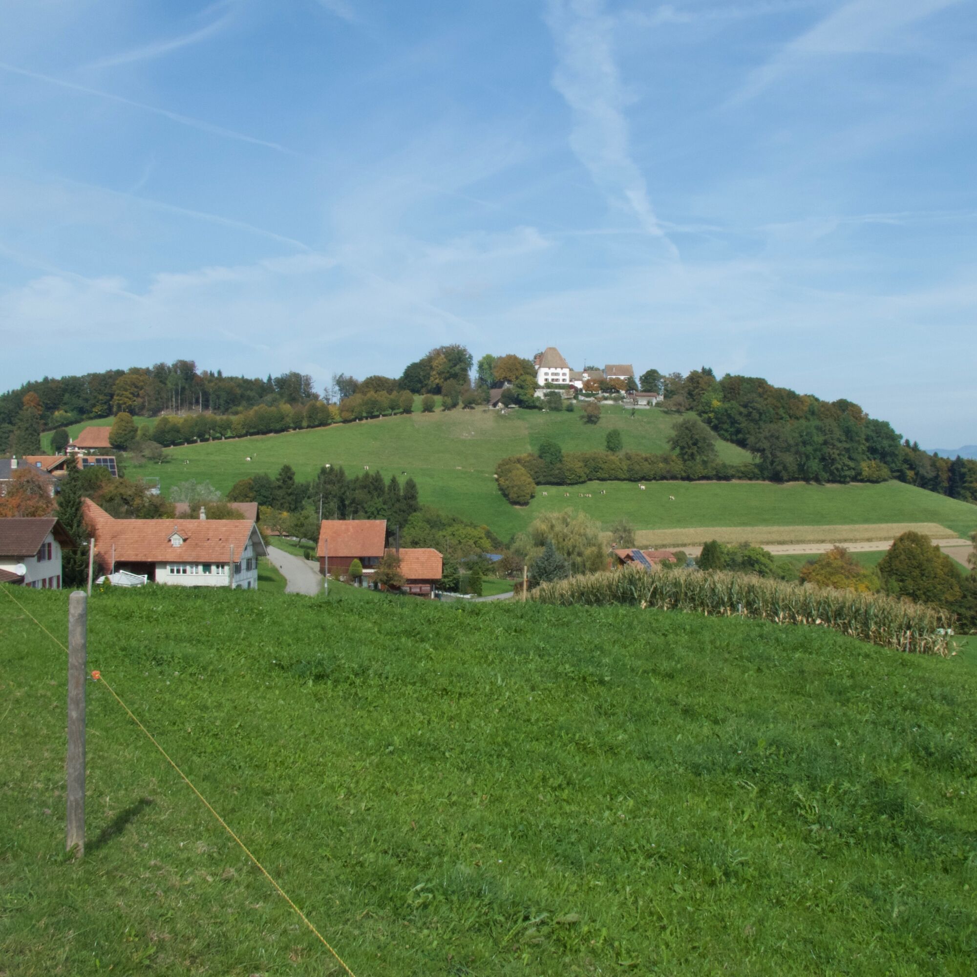
At the eastern edge of the Gantrisch Nature Park lies Wattenwil in the flat Gürbetal. This is the starting point of this stage. When ascending towards Burgistein, there is a magnificent view of Lake Thun and the Alps. Shortly before reaching the village, the path leads past the mighty Burgistein Castle. After crossing the village, the route goes over pastures and later along the Halbbach to Riggisberg.
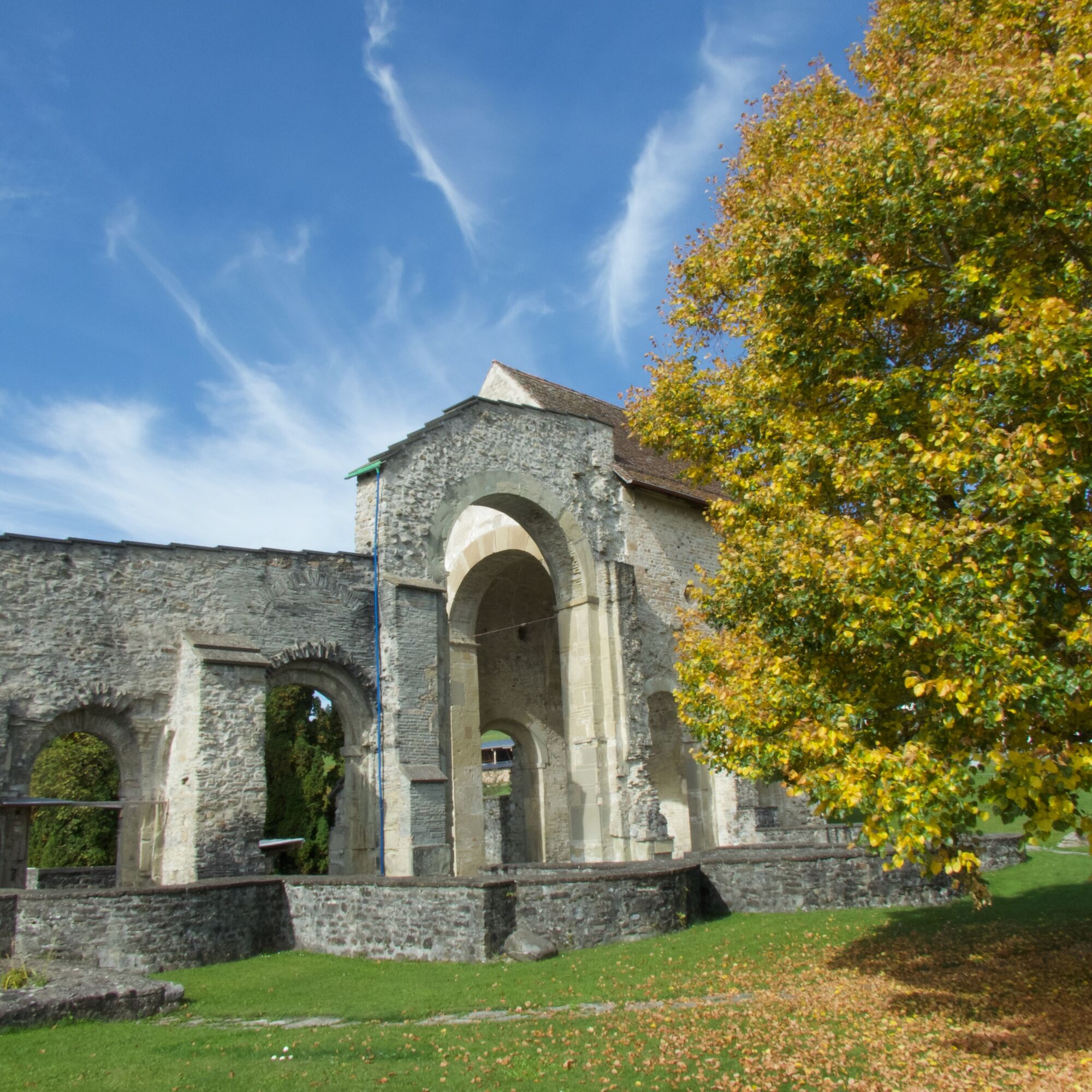
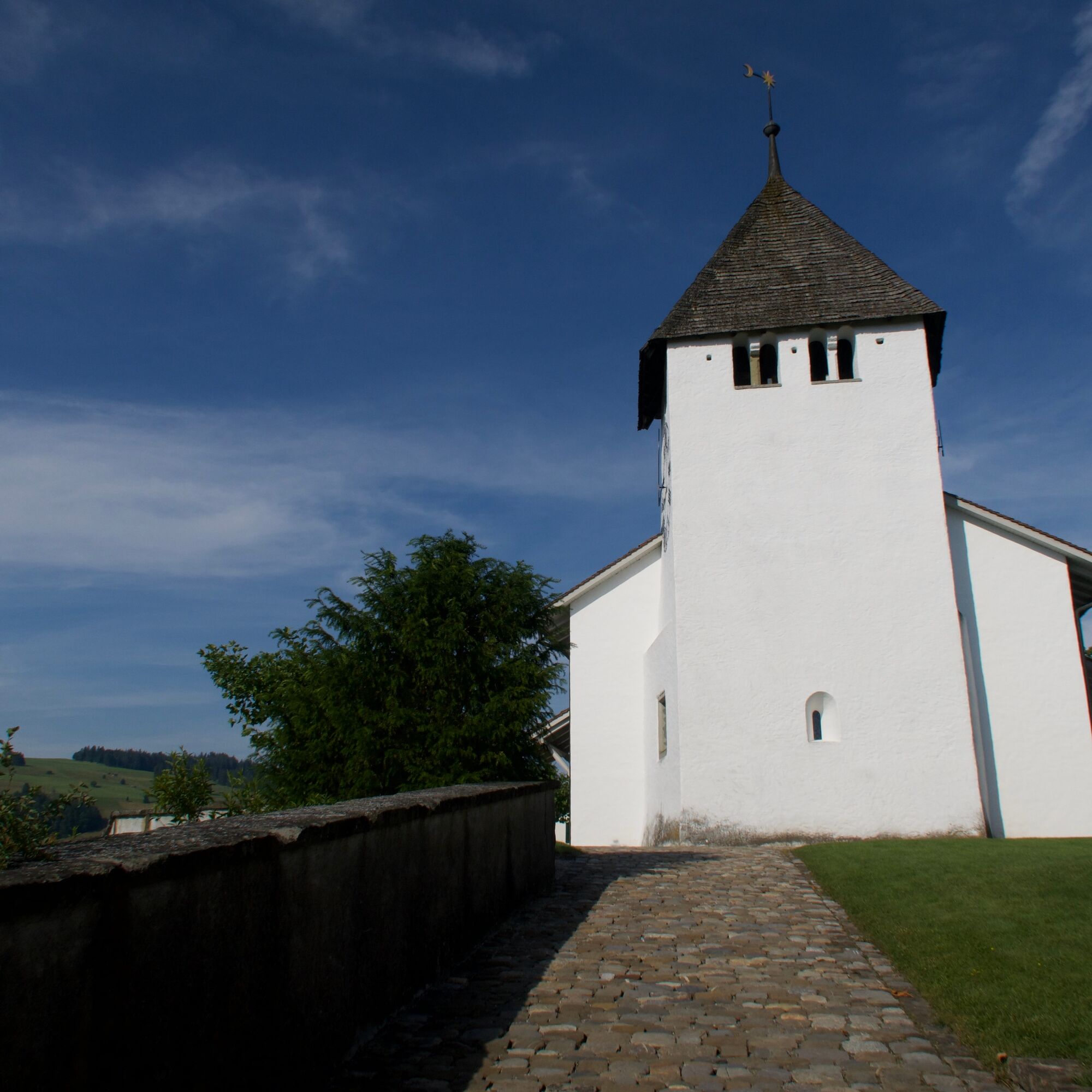
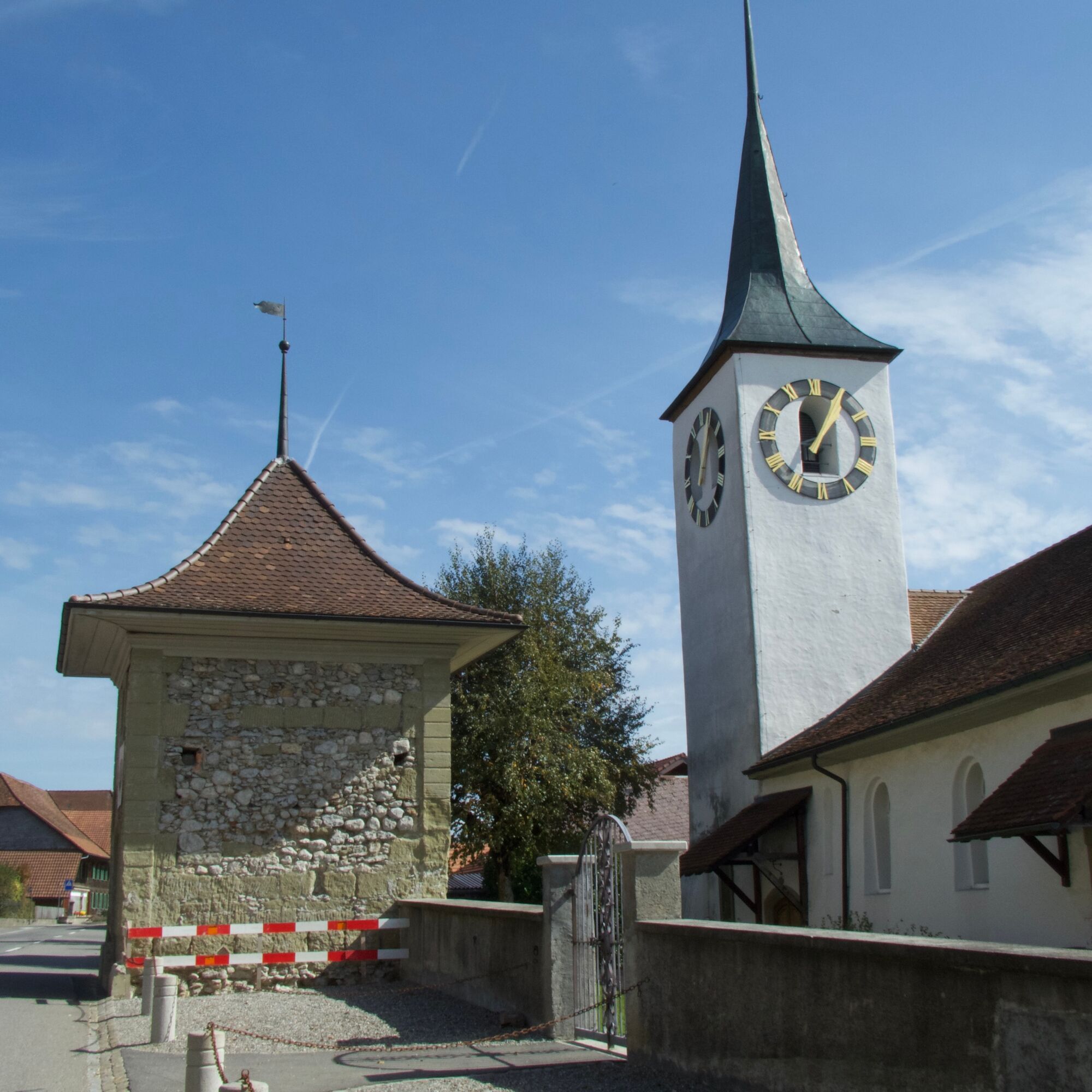
The village is situated at 765 m above sea level on a south-facing slope with views of the Pre-Alps and the Jungfrau region. Besides Burgistein Castle, which invites you to stay overnight, the Abegg Foundation is of particular cultural and historical interest. The institute is a competence center for historical textiles and promotes international scientific exchange. On gravel roads, it takes about an hour passing the hamlets of Tromwil and Mättiwil to reach Rüeggisberg. The mighty monastery ruins are an impressive landmark of the village.
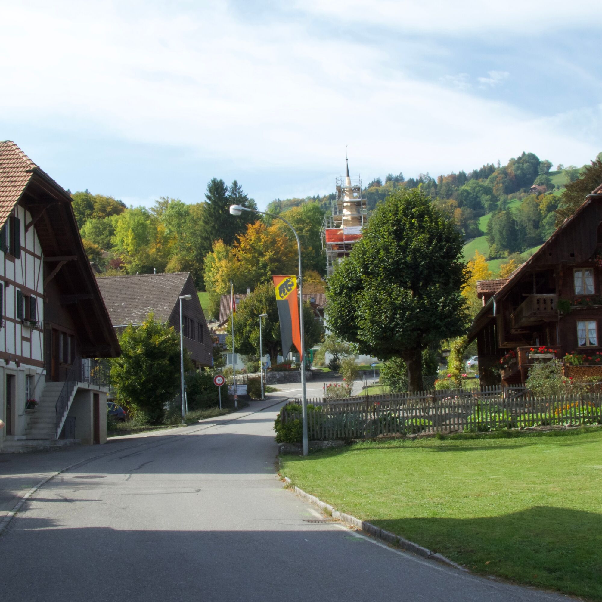
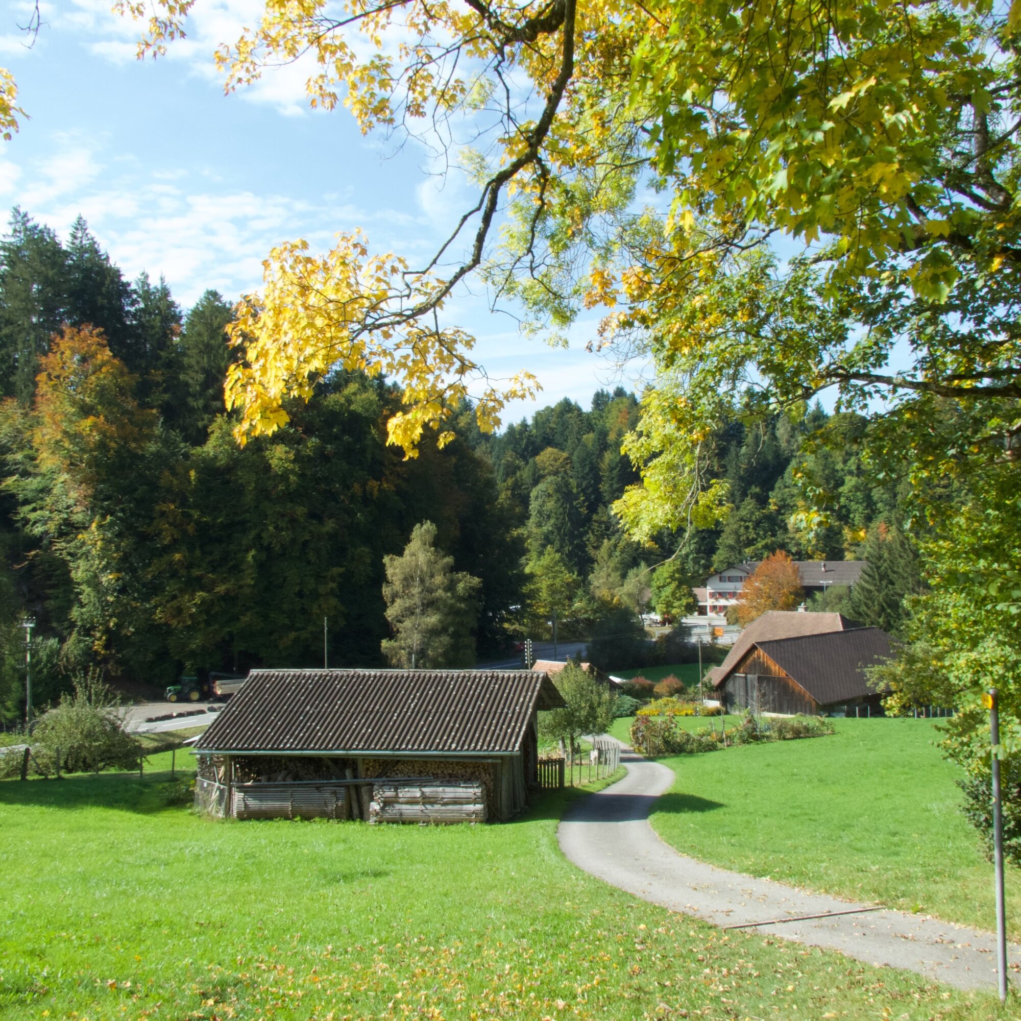
From here, the path leads downhill via Helgisried and Rohrbach. After a short stretch along the Schwarzwasser, a short, steep ascent follows. Via Mamishaus it continues to Elisried. From here, the Jakobsweg shares the last hour of the hike with the Alpine Panorama Trail. After just under six hours, the beautiful hike ends in Schwarzenburg.
Normal hiking equipment
Obľúbené výlety v okolí
-
4,0
Höhenwanderung Gurnigel - Stockhorn
ťažkéTuristika 11,2 km -
4,5
Gipfelwanderung Gantrisch, 2176 m.ü.M
strednáTuristika 9,13 km -
4,7
Wasserscheide - Gantrisch Seeli
svetloTuristika 9,33 km -
4,7
Stockholm über Leiterepass
svetloTuristika 10,7 km -
4,7
Summit hike Ochsen, 2188 m.a.s.l.
strednáTuristika 7,94 km -
4,0
Circular hike Gürbequelle
strednáTuristika 8,24 km -
5,0
Gürbetaler Höhenweg (Switzerland Mobility 380) - Beware detour
strednáTuristika 18,2 km -
5,0
Schwarzwasser-Sense Gorge Path Stage 1 (SchweizMobil 381)
svetloTuristika 11,4 km -
Selibüel Panorama Trail (SwitzerlandMobility 113)
svetloSnežnice 4,34 km -
Around the Guggershorn (Switzerland Mobility 501)
strednáMountainbike 23,4 km
Turistika a stopovanie


Nenechajte si ujsť ponuky a inšpiráciu na ďalšiu dovolenku
Vaša e-mailová adresa bol pridaný do poštového zoznamu.