


"alpannonia" stage 5 Bernstein - Geschriebenstein/Pass


Fotografie našich používateľov
-
 © Stefan WusitsVytvorené dňa 20.04.2025
 -

 © Soma GyimesiVytvorené dňa 02.11.2024
 -
 © stuebiVytvorené dňa 20.10.2024
 -

 © Martina Abraham 1Vytvorené dňa 29.10.2024
 -
 © Klaus LehnerVytvorené dňa 31.07.2024
 -
 © Klaus LehnerVytvorené dňa 31.07.2024
 -
 © Klaus LehnerVytvorené dňa 31.07.2024
 -
 © Klaus LehnerVytvorené dňa 31.07.2024


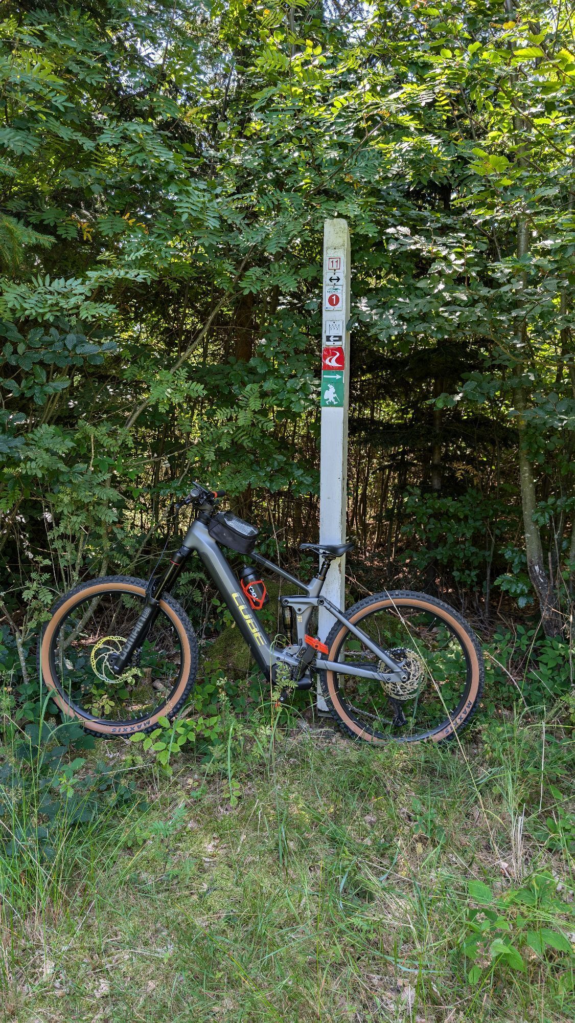


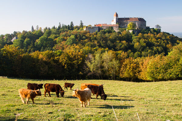
The path from Bernstein main square leads to the natural swimming pool with an adjoining barefoot path. After a section of the planet trail, it then continues mostly on forest paths to Goberling. The history...
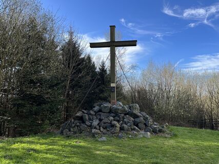
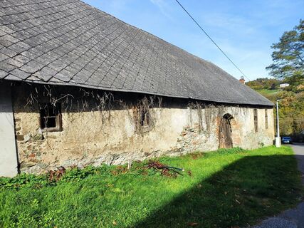
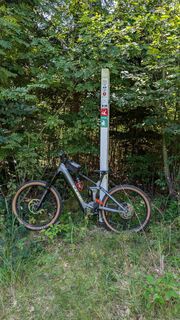
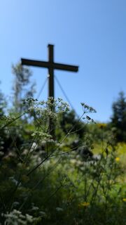
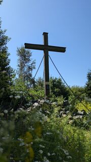
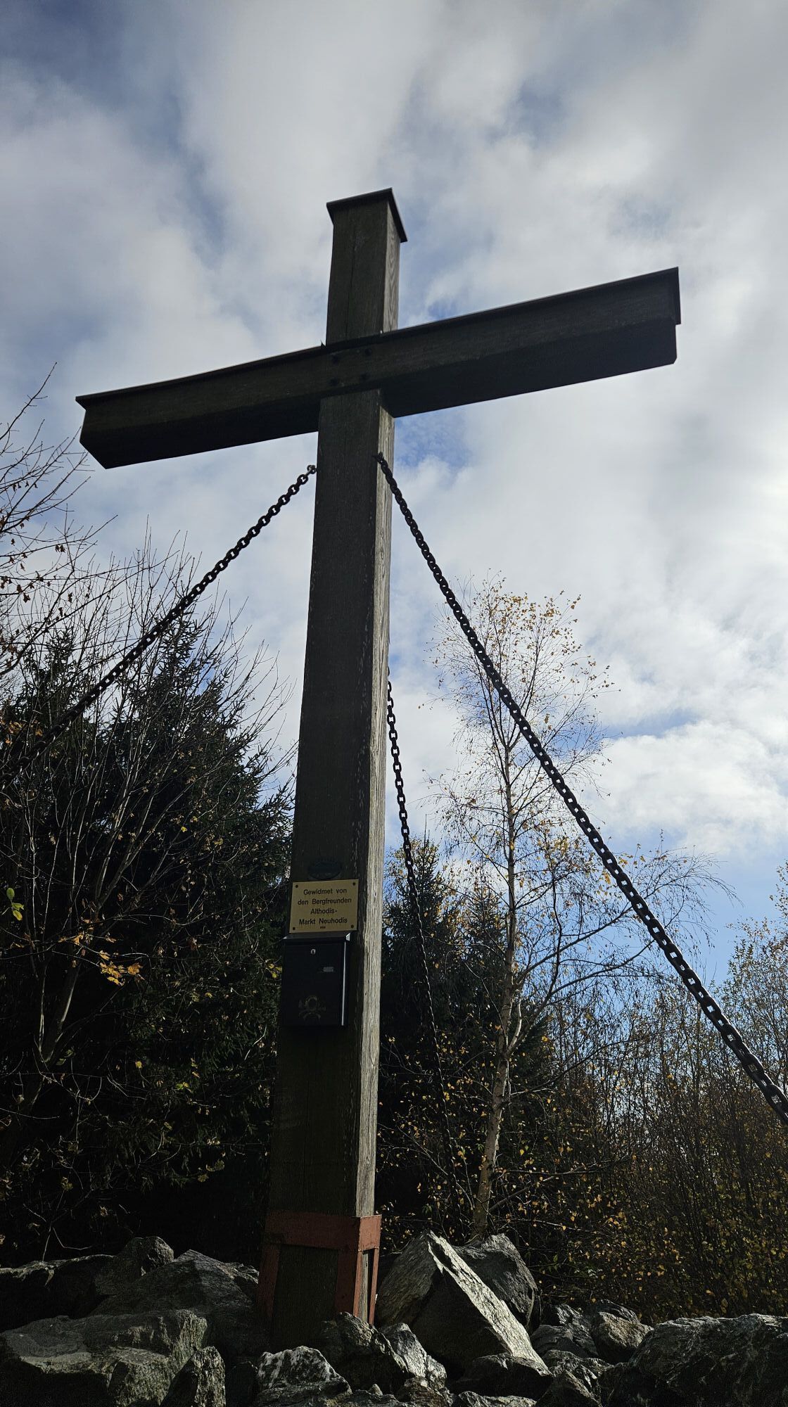
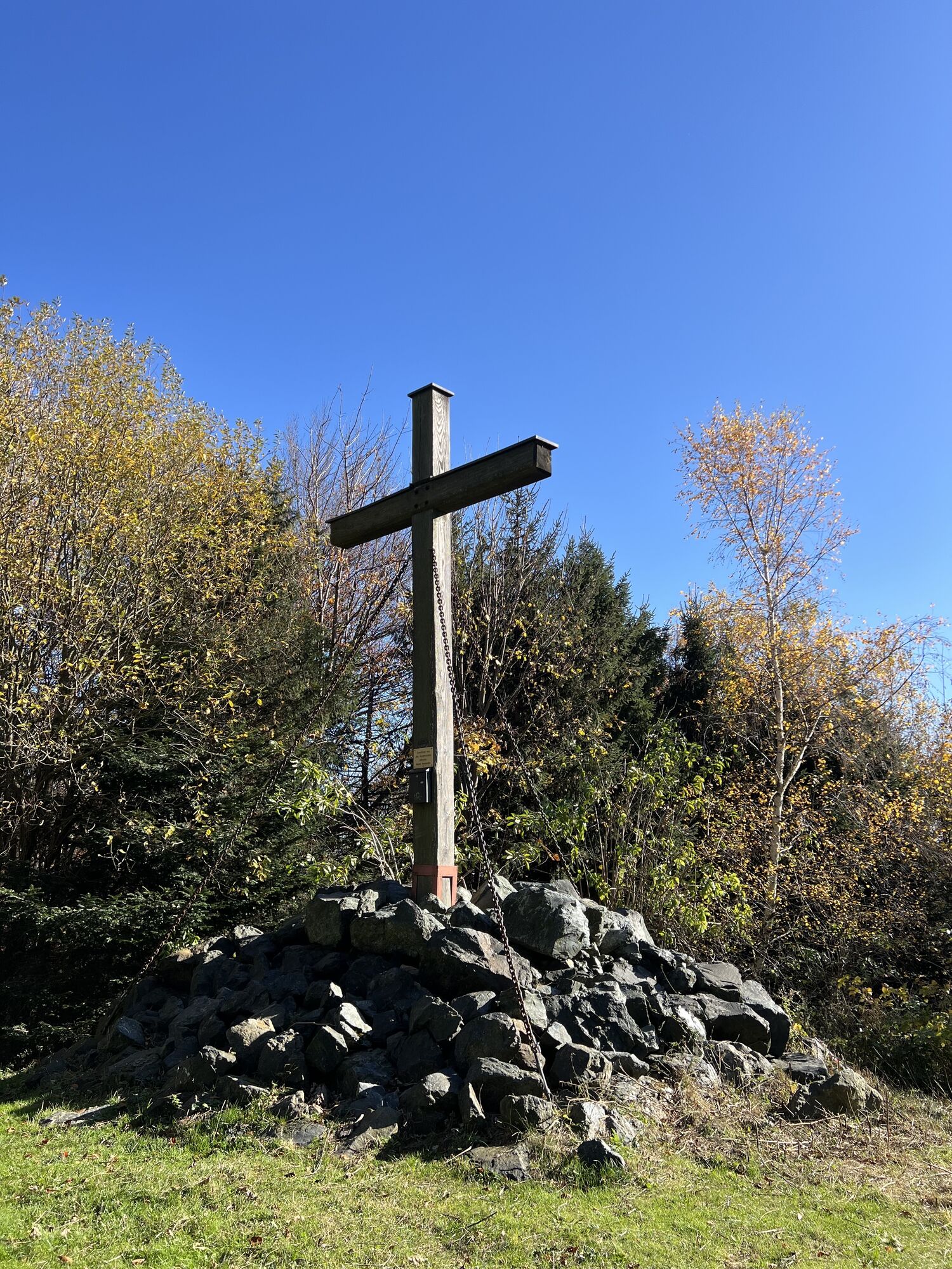
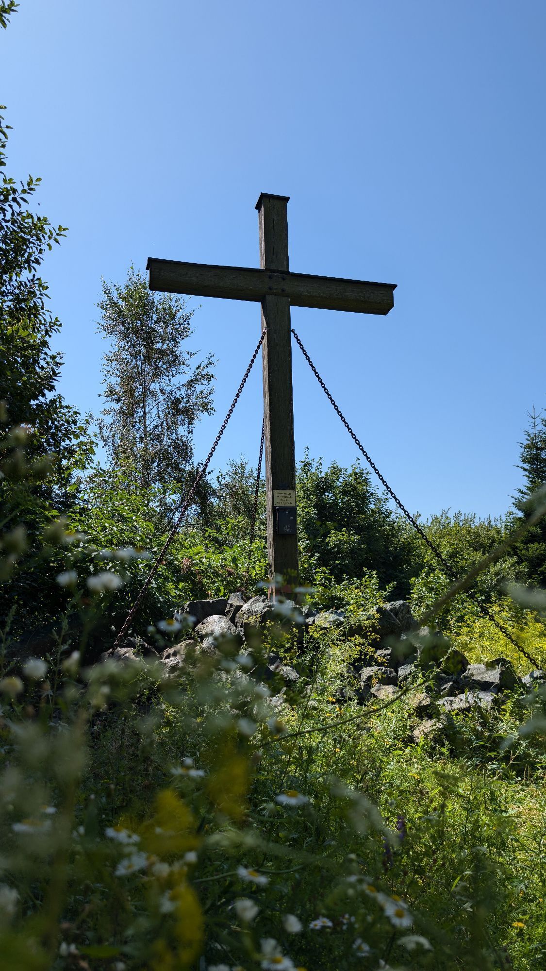
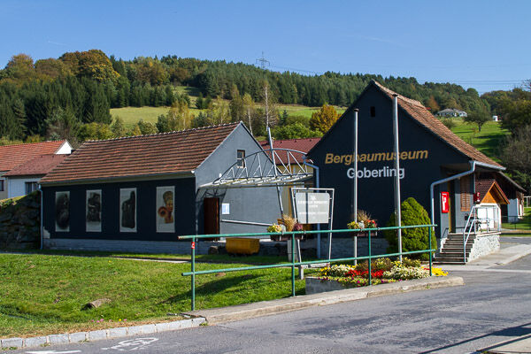
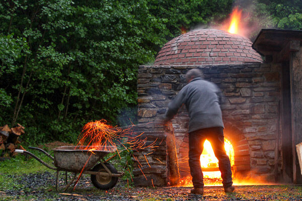
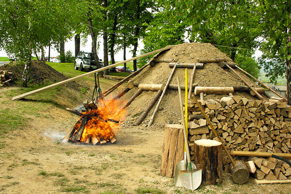
The path from Bernstein main square leads to the natural swimming pool with an adjoining barefoot path. After a section of the planet trail, it then continues mostly on forest paths to Goberling. The history of the local antimony mining has been prepared in the Mining Museum Goberling. Immediately afterwards, you enter the area of the Geschriebenstein-Irottkö Nature Park. Passing a lime kiln and a newly created biotope, the route continues to Unterkohlstätten and over a way of the cross to Oberkohlstätten where you can learn about the historic technique of charcoal burning at a show charcoal kiln. From there, on forest paths, you reach the pass height at the federal highway via the small and large Hirschenstein.
Shuttle option to Lockenhaus (Lockenhaus Castle Hotel) or Rechnitz (Taxiteam Rechnitz).
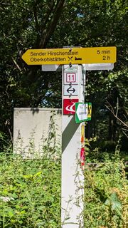
Attention poor mobile reception: arrange a taxi at the Hirschenstein transmitter - about 45 min to the stage destination
Áno
Always bring suitable maps. Wear sturdy shoes adapted to the route, take sun and rain protection as well as water and a snack. Bring your mobile phone and save the mountain rescue emergency number: 140
Proper behavior when encountering grazing animals:
www.alpannonia.at/verhaltenstipps-fuer-wandergaeste-auf-beweideten-almen
Make sure when choosing the route that it matches your mountain experience and fitness. Check the weather forecast in advance. The weather in the mountains can change surprisingly quickly. Always set out accordingly equipped (e.g. rain protection).
Check whether the huts and snack stations you want to visit en route are open. Inform someone about your choice of route and planned return before you set off.
Cross-border hiking trail: Remember to bring a passport or identity card!
from Vienna via A2 exit Krumbach - B55 to Kirchschlag then on to Bernstein
Via Burgenland expressway S31 to Oberpullendorf - B50 to Bernstein
From the south A2 exit Markt Allhau - Oberwart - Bernstein
No train connection, from Vienna or Graz by bus to Oberwart, then on to Bernstein
Parking available at the main square, directly on the alpannonia main path
Visit the Mining Museum in Goberling
Obľúbené výlety v okolí
-
4,3
Railway track bike path
strednáCyklistika 41,6 km -
4,7
S21 Friedensrundweg
svetloTuristika 11,4 km -
4,5
Bad Schönau - Hutwisch
svetloTuristika 9,99 km -
4,8
“Weg der Blicke” (path of glances) – Bad Schönau
svetloTuristika 5,99 km -
Südburgenländischer Bahntrassen-Radweg
svetloCyklistika 67 km -
4,0
"Weg der Blicke"
svetloTuristika 5,86 km -
4,2
BAD-SCHÖNAU Hutwisch und wieder zurück 20220611
strednáTuristika 10,8 km -
4,2
Summit hiking route
ťažkéTuristika 20,6 km -
2,7
Günser Gebirge: Rechnitz - Geschriebenstein
svetloTuristika 7,71 km -
4,0
See, Vogelparadies & Ödes Schloss Rechnitz
svetloTuristika 7,09 km
Turistika a stopovanie


Nenechajte si ujsť ponuky a inšpiráciu na ďalšiu dovolenku
Vaša e-mailová adresa bol pridaný do poštového zoznamu.