


Karavanke Trail - STAGE 4: Tržič - Begunje na Gorenjskem


A hiking stage that takes us under the slopes of Mt. Dobrča all the way to the Peračica village. Along the way, you can visit the famous pilgrimage spot - the Basilica of St. Mary Help of Christians of...
A hiking stage that takes us under the slopes of Mt. DobrÄa all the way to the PeraÄica village. Along the way, you can visit the famous pilgrimage spot - the Basilica of St. Mary Help of Christians of Brezje. We continue by descending to the PeraÄica area, where the path leads us past beautiful river waterfalls. We continue under the slopes of the mountains and quickly find ourselves in Begunje na Gorenjskem. A small place with an exceptional tradition and home to one of Avsenik's best-known folk tunes – Na Golici.
This route is the 4th stage of the Karavanke Trail, going from Zgornje Jezersko to Kranjska Gora in a total length of 143 km.

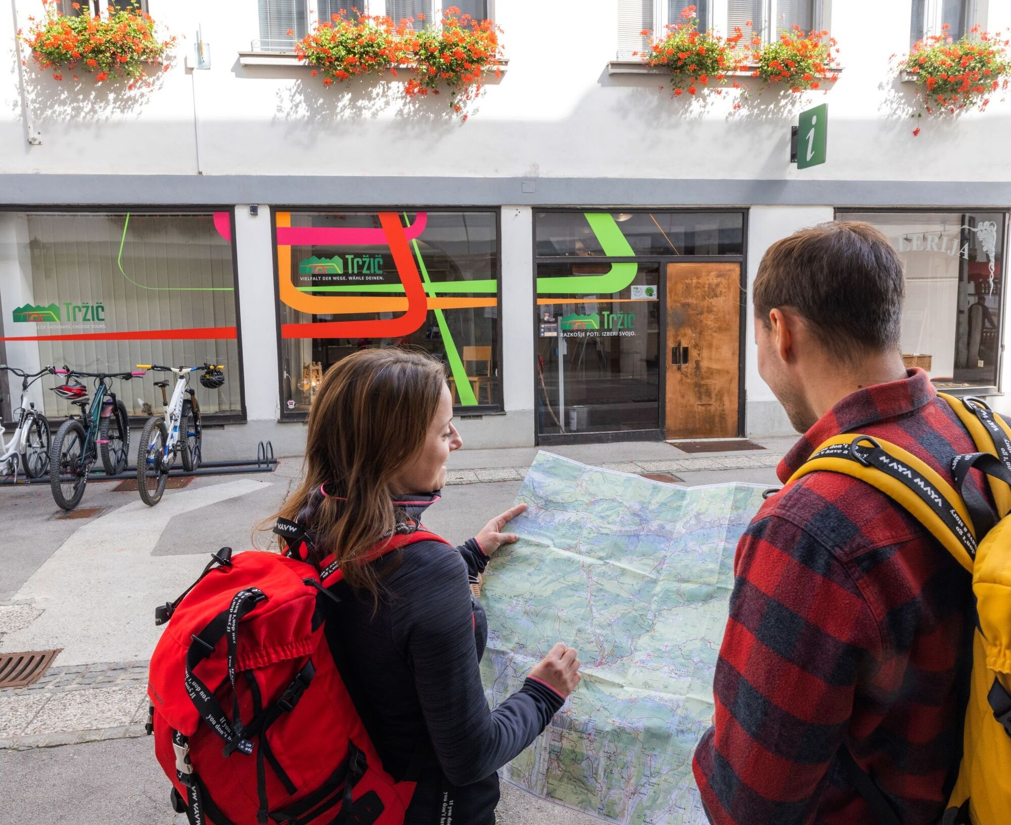

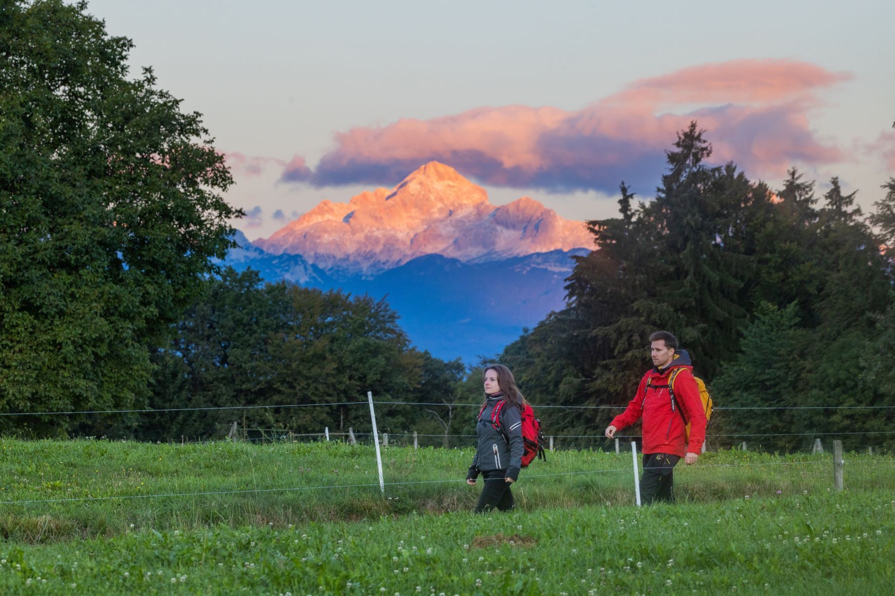
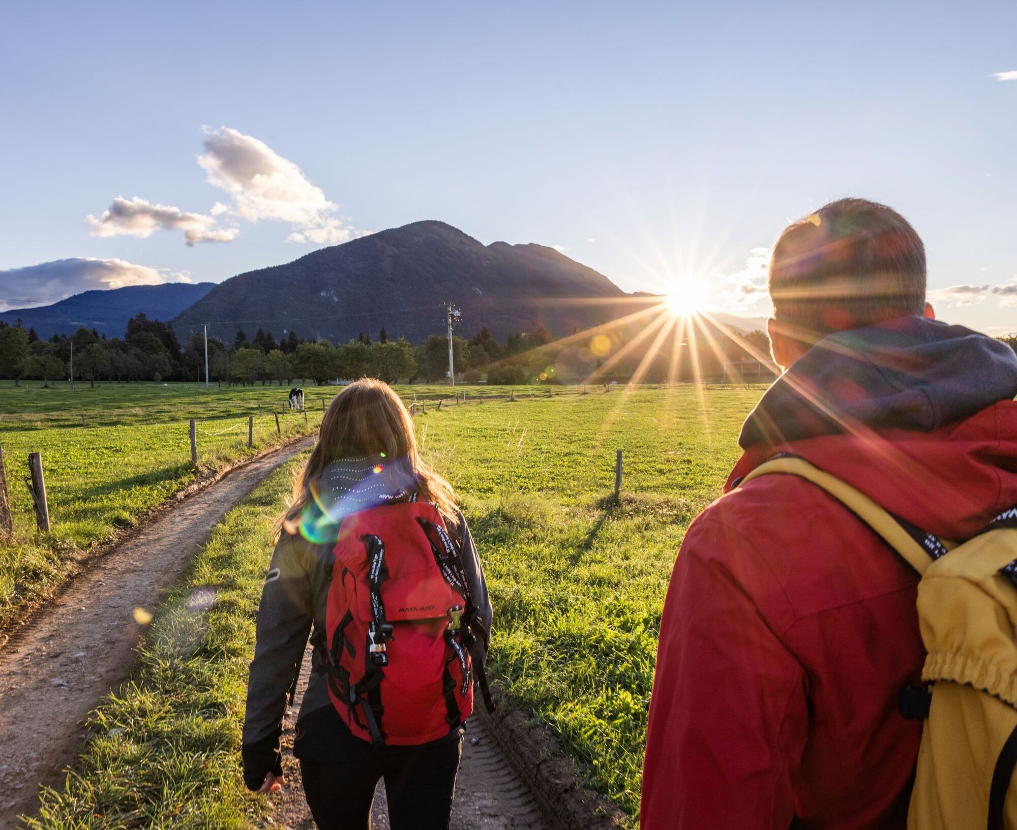
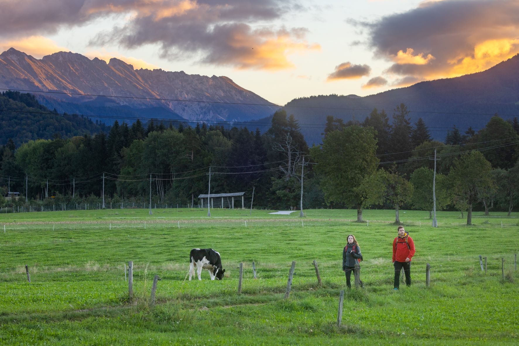
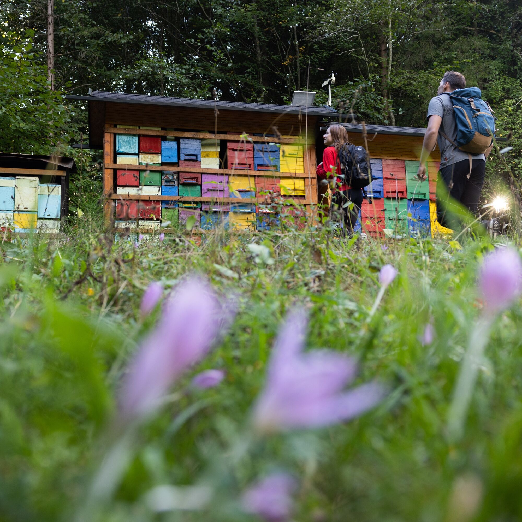
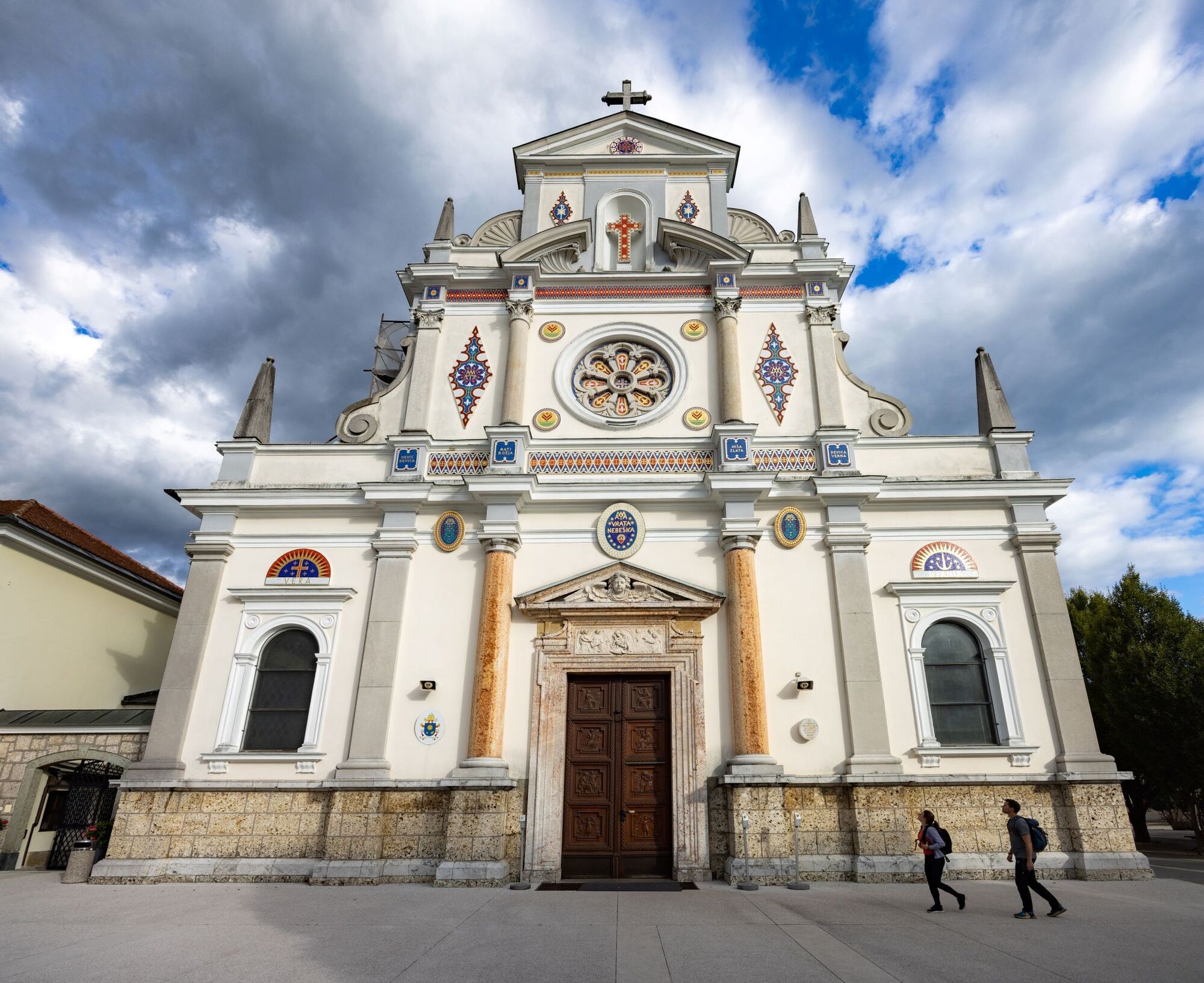
From the old town centre of TržiÄ, which is adorned with many cultural attractions, we set off along the newly asphalted footpath that leads above the area of the former BPT (a cotton spinning and weaving mill), past the Loka settlement. When we reach the intersection with the sign for Begunje on the right, we turn left down towards Bistrica, past the kindergarten, the home for the elderly along the main road to Kovor. Shortly before the underpass, behind the MIGI company building on the right, turn right into the forest along a narrow macadam path. We follow the path through the forest, which climbs slightly to the asphalt road in the village of Hušica. Here we have a beautiful view of Mt. DobrÄa on the right and Triglav, which greets us in the distance. We turn left on the road, about 500 m, then right on the cart track past the farm and again through the forest. We continue for quite some time along the forest road, which, especially in the summer heat, provides us with pleasant cooling. From the forest, turn left on the gravel road, passing two picturesque beehives on the right. Soon we join the asphalt road, go left down the slope (this section is part of the Rožnovenska pot (The Rosary Bead Path), so we will also follow its signs along the way). After a kilometre of walking, we arrive in the village of Brezje with the characteristic Basilica of Mary Help of Christians to the left in the village. It's time for the first stop to gather extra strength and energy. After a short break, we continue through the village straight along a field path to the forest, where we are accompanied by beautiful views of DobrÄa, and if we turn back to the left, the highest Slovenian peak Triglav greets us again in the distance. At the edge of the forest, we arrive at the beginning of the marked Pot miru (Path of Peace), which leads to the PeriÄnik waterfall, where we just take some time to immortalize our memories from the photo spot. Our adventure does not end there, but we descend into the forest, continue over a few bridges, and then climb slightly to a gravel path, where we turn left and walk to the intersection, where we turn right and follow the path for approx. 45 min-1 h to the village of Dvorska vas and further towards Lamberg Castle in DrnÄa. We walk in the haven of the mountains, with a wonderful view of Mt. Stol on the right, and Triglav greets us again in the distance on the left. We end our journey in Begunje, where we can treat ourselves to a delicious feast in one of the local inns, and we can also visit the popular music museum in the Avsenik house, which is considered the cradle of this type of music.
Áno
Áno
Comfortable low hiking shoes, backpack with snacks and drinks, walking poles (optional), a phone with an uploaded GPX track. An additional portable battery (power bank) is also recommended if the phone may already have a bad battery.
Before you go:
Check the weather forecast. Especially in the summer, set out early enough to avoid the summer heat and afternoon thunderstorms. Inform someone close to you of your destination and departure time. Check that the length, gradient and time of the route correspond to your level of ability before setting off and do not overestimate your capacities.
During your hike:
Follow the marked paths Take away your rubbish, do not light fires, be discreet so as not to frighten wild animals, and do not pick wildflowers or plants, a photo should be a sufficient souvenir.
Leave the Ljubljana-Jesenice highway at the TržiÄ exit (No. 6) and follow the road towards TržiÄ. Just a few meters before the gas station, leave the main road and continue driving to the right in the direction of TržiÄ.
Bus:
Ljubljana-Kranj-TržiÄ
Ljubljana-Kranj, then a bus connection to TržiÄ
Bus to Kranj and then to TržiÄ
There are several parking lots in TržiÄ, with different parking fee payment regimes.
The path is very diverse and pleasant to walk, it is not crowded and ideal for those who want to rest from everyday stress and worries. There is no telephone signal in some places and practically, except at the beginning and end of the route, there are no places for food and drinks. The path alternates between flat and forest sections and wonderful views on all sides, Triglav, DobrÄa and Stol mountains. On the way, we are accompanied by peace and a sense of home. The trail is also suitable for dogs.
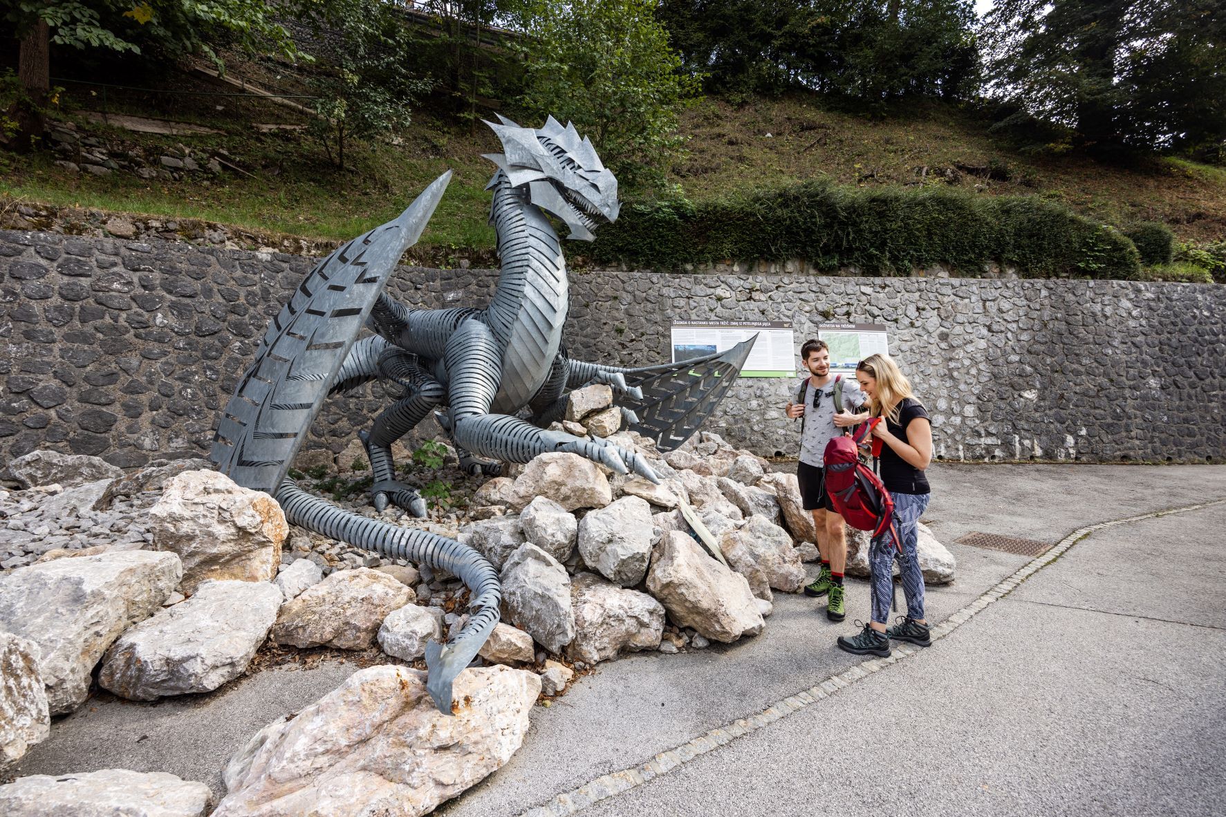
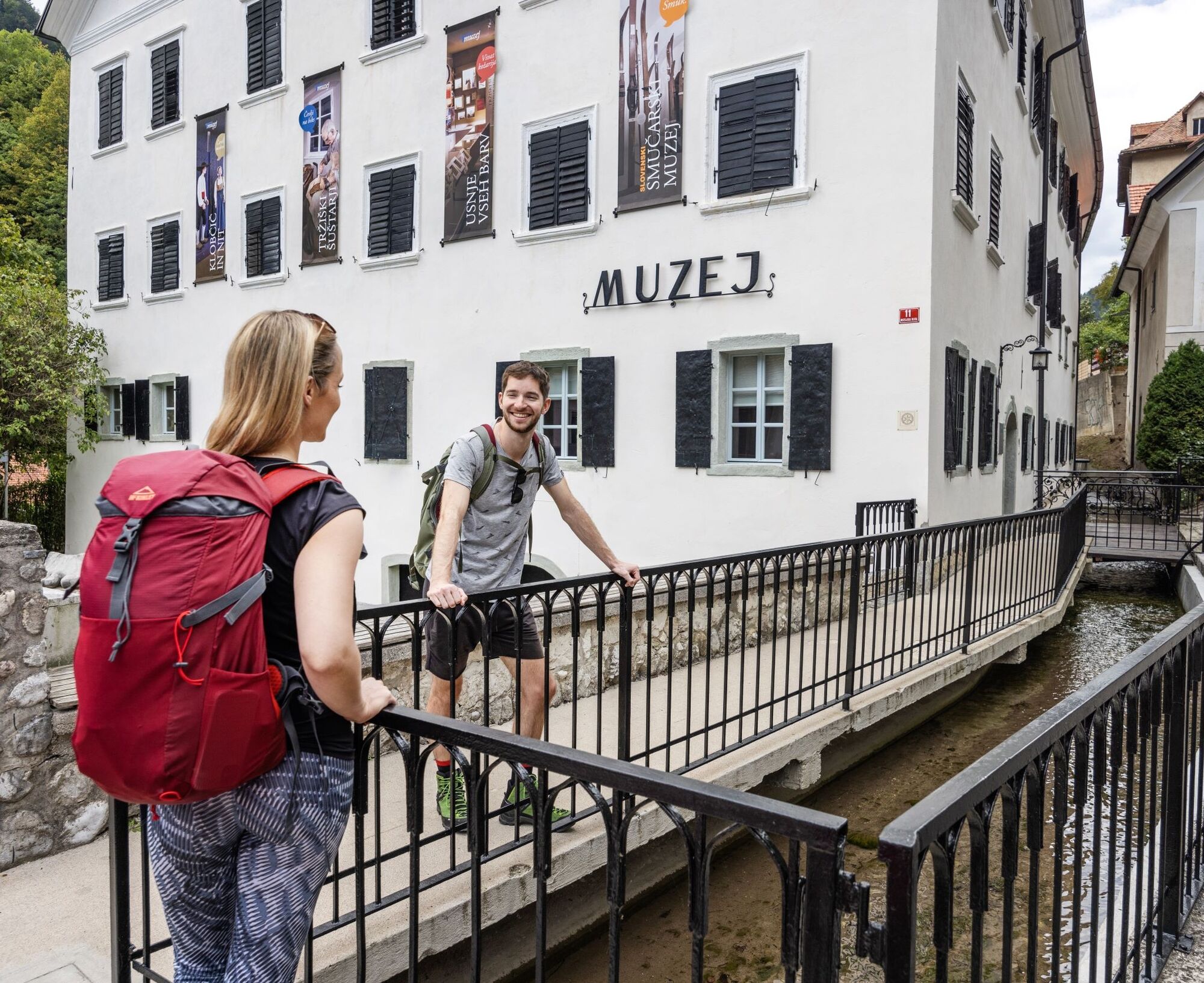
Attractions along the route: TržiÄ old town centre, Farm Princ, Tourist farm Pr'TavÄar Begunje, Tourist farm Tominc- Frelih, Tourist farm Hribar Brezje, Restaurant Avsenik – museum, Elan Begunje – museum, Restaurant Pr'TavÄar Begunje.
The route does not have a telephone signal in some places (the area of PeraÄica), so it is suggested to download the GPX route on one of the hiking apps in advance.
Obľúbené výlety v okolí
-
4,2
From Bärental to the Kosiak (Klagenfurter Hut)
strednáTuristika 9,67 km -
4,7
Water experience trail Hainschgraben
strednáTuristika 9,23 km -
4,6
Kosiak
strednáTuristika 9,58 km -
4,7
Ogrisalm ab Bodenbauer, Kärnten/Österreich
svetloSkitour 11,2 km -
4,2
Slow Trail Meerauge
svetloTuristika 5,25 km -
4,8
Hochstuhl 2236m über Klettersteig
strednáVia ferrata 9,67 km -
3,7
Hiking route Bodental/Klagenfurter Hut
strednáTuristika 11,9 km -
3,8
Klagenfurt hut
strednáTuristika 6,86 km -
5,0
Rjautza
strednáTuristika 8,98 km -
4,5
Bodental, Meerauge, Märchenwiese, Bodenbauer
svetloTuristika 7,89 km
Turistika a stopovanie


Nenechajte si ujsť ponuky a inšpiráciu na ďalšiu dovolenku
Vaša e-mailová adresa bol pridaný do poštového zoznamu.