


Karavanke Trail - STAGE 5: Begunje na Gorenjskem - Dom Pristava Javorniški Rovt


Fotografie našich používateľov
-
 © Janez PerkoVytvorené dňa 06.11.2025
 -

 © Matej PedicekVytvorené dňa 31.08.2025
 -
 © Matej PedicekVytvorené dňa 31.08.2025
 -
 © Matej PedicekVytvorené dňa 31.08.2025
 -
 © Matej PedicekVytvorené dňa 31.08.2025
 -

 © Anica vargaVytvorené dňa 16.08.2025
 -
 © Klementina GartnerVytvorené dňa 05.02.2025
 -
 © Klementina GartnerVytvorené dňa 05.02.2025
 -
 © Klementina GartnerVytvorené dňa 05.02.2025
 -
 © Klementina GartnerVytvorené dňa 05.02.2025
 -
 © Klementina GartnerVytvorené dňa 05.02.2025
 -
 © Klementina GartnerVytvorené dňa 05.02.2025
 -
 © Klementina GartnerVytvorené dňa 05.02.2025
 -
 © Klementina GartnerVytvorené dňa 05.02.2025
 -
 © Klementina GartnerVytvorené dňa 05.02.2025
 -
 © Klementina GartnerVytvorené dňa 05.02.2025
 -
 © Klementina GartnerVytvorené dňa 05.02.2025

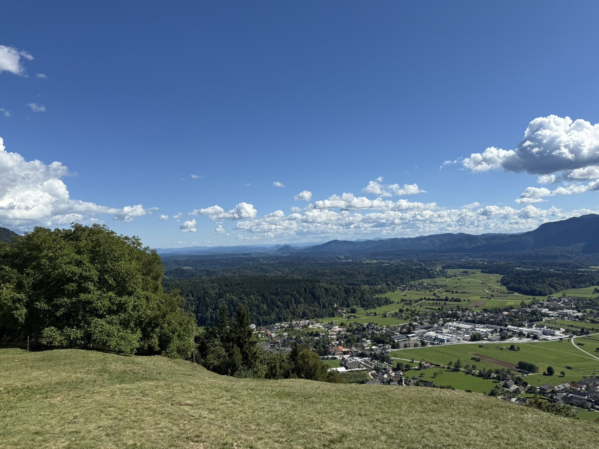


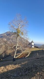
A true hiking stage awaits us in Begunje, which winds through the most beautiful areas of the Karavanke. At first, the route takes us along the scenic route past St. Peter and Smokuški vrh, from where...
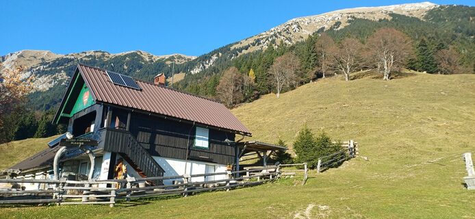
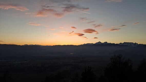
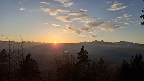
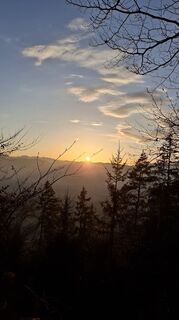
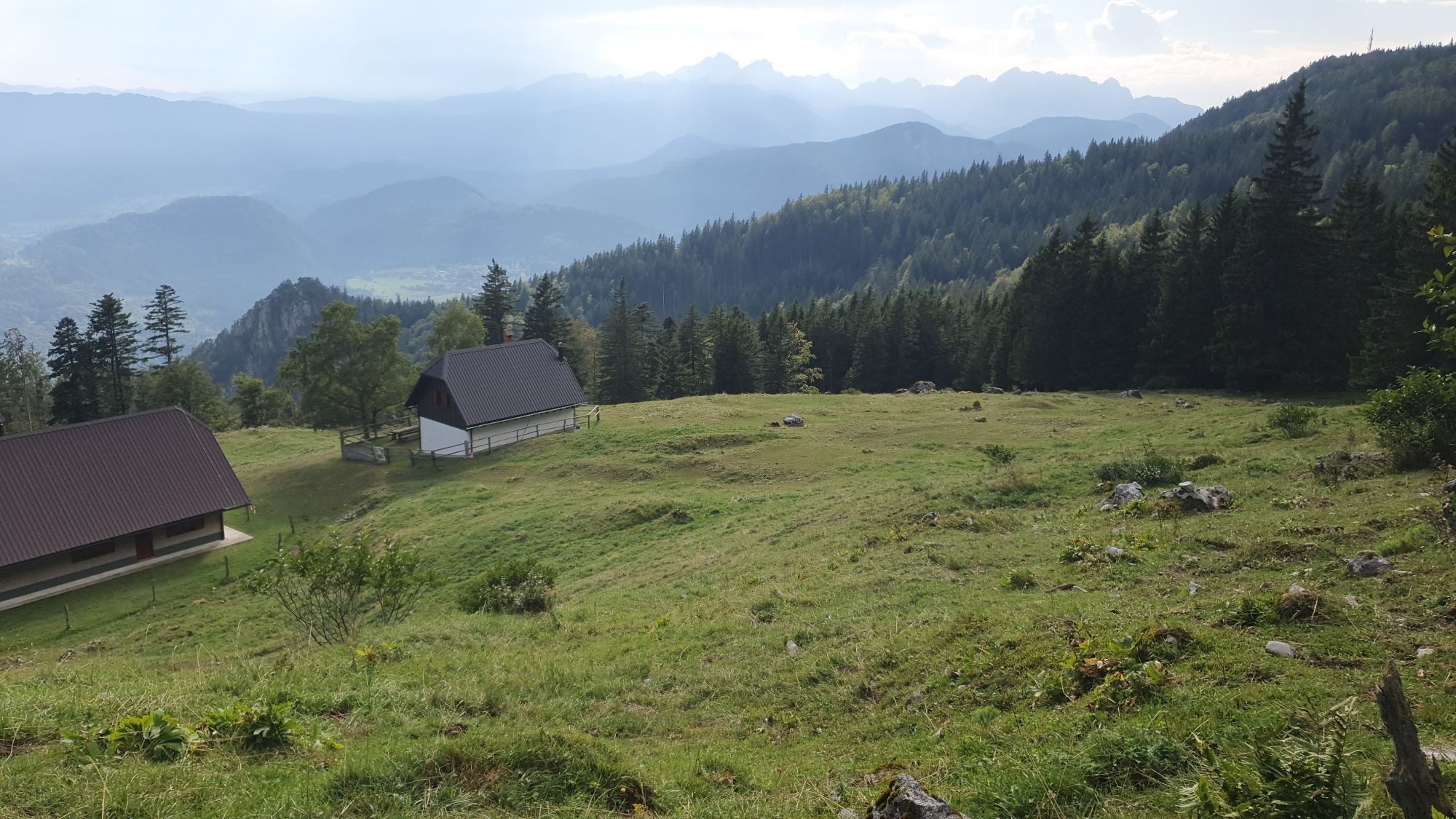
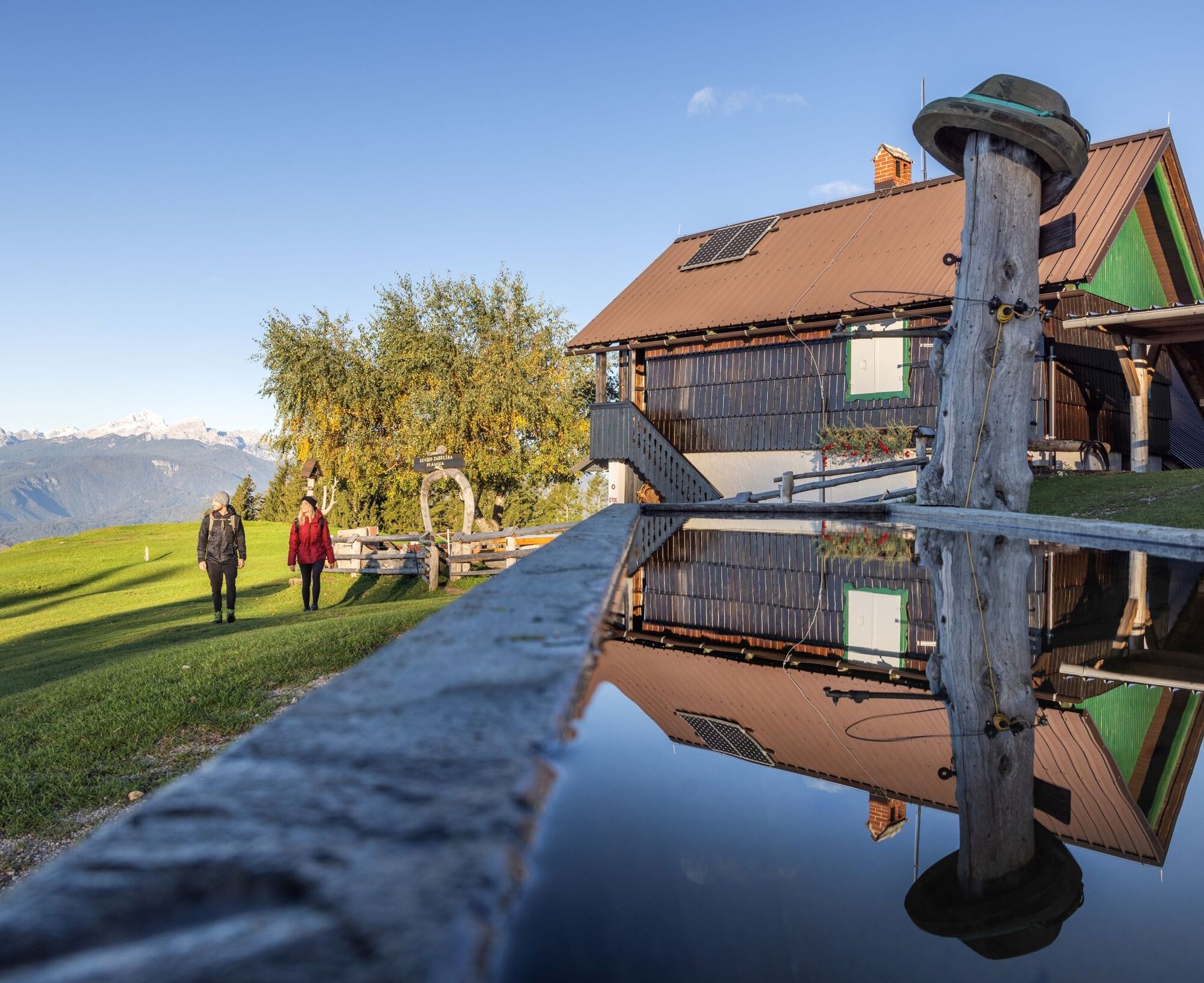
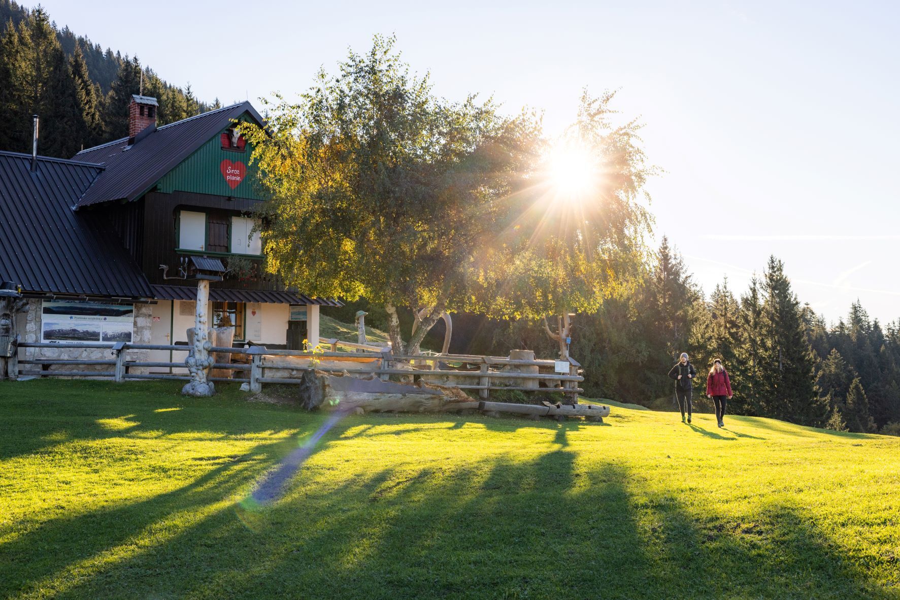
A true hiking stage awaits us in Begunje, which winds through the most beautiful areas of the Karavanke. At first, the route takes us along the scenic route past St. Peter and Smokuški vrh, from where we descend into the Završnica valley. From there we hike to the most beautiful and more picturesque mountain pastures below Mt. Stol, the highest mountain of Karavanke, and Vajnež. The route leads us past Valvasorjev dom via Potoška and Olipova planina to Stamare mountain pasture (planina), from where we descend to the former mining area in Javorniški Rovt.
This route is the 5th stage of the Karavanke Trail, going from Zgornje Jezersko to Kranjska Gora in a total length of 143 km.

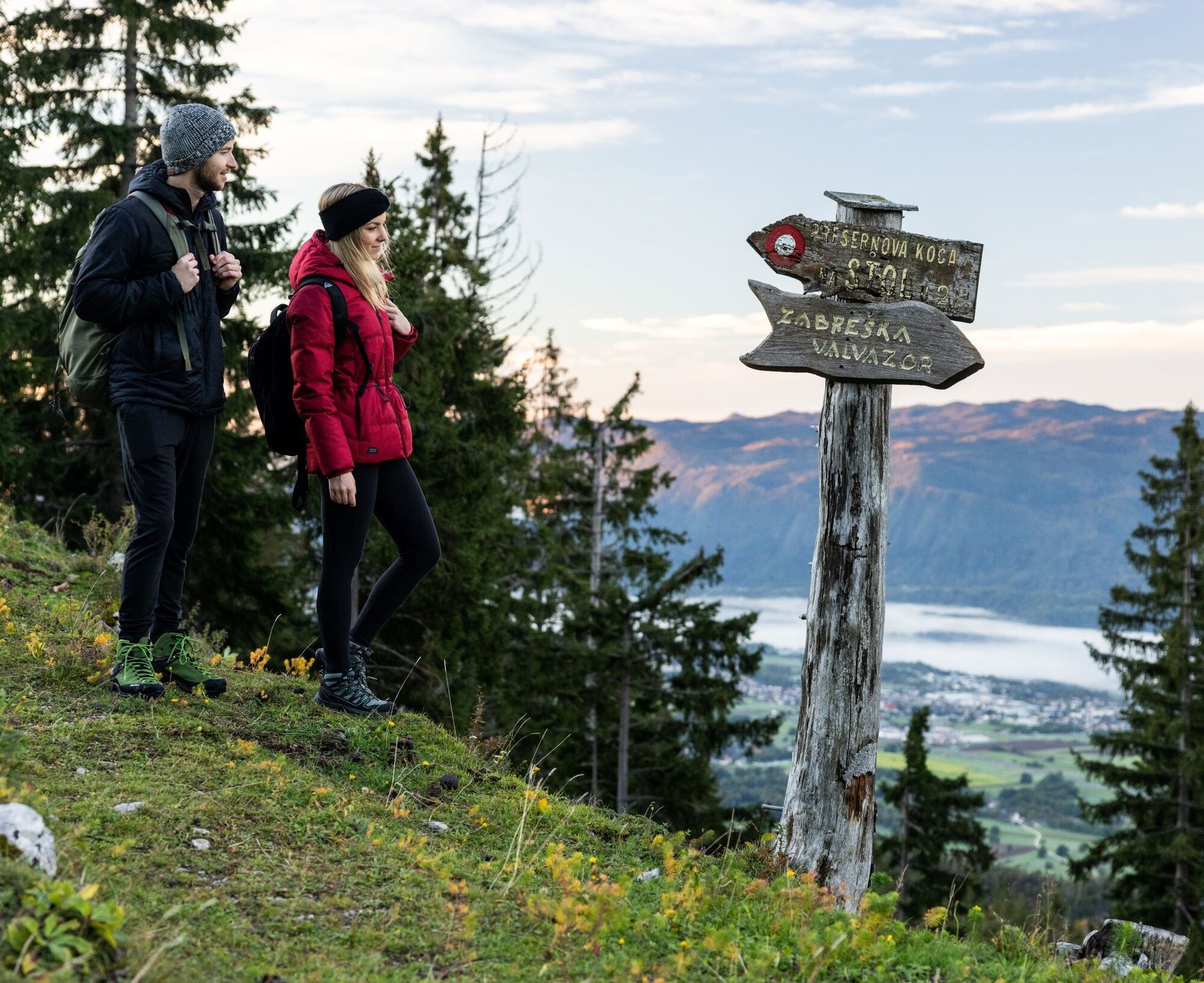

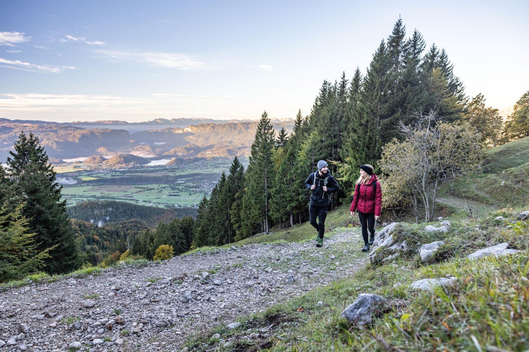
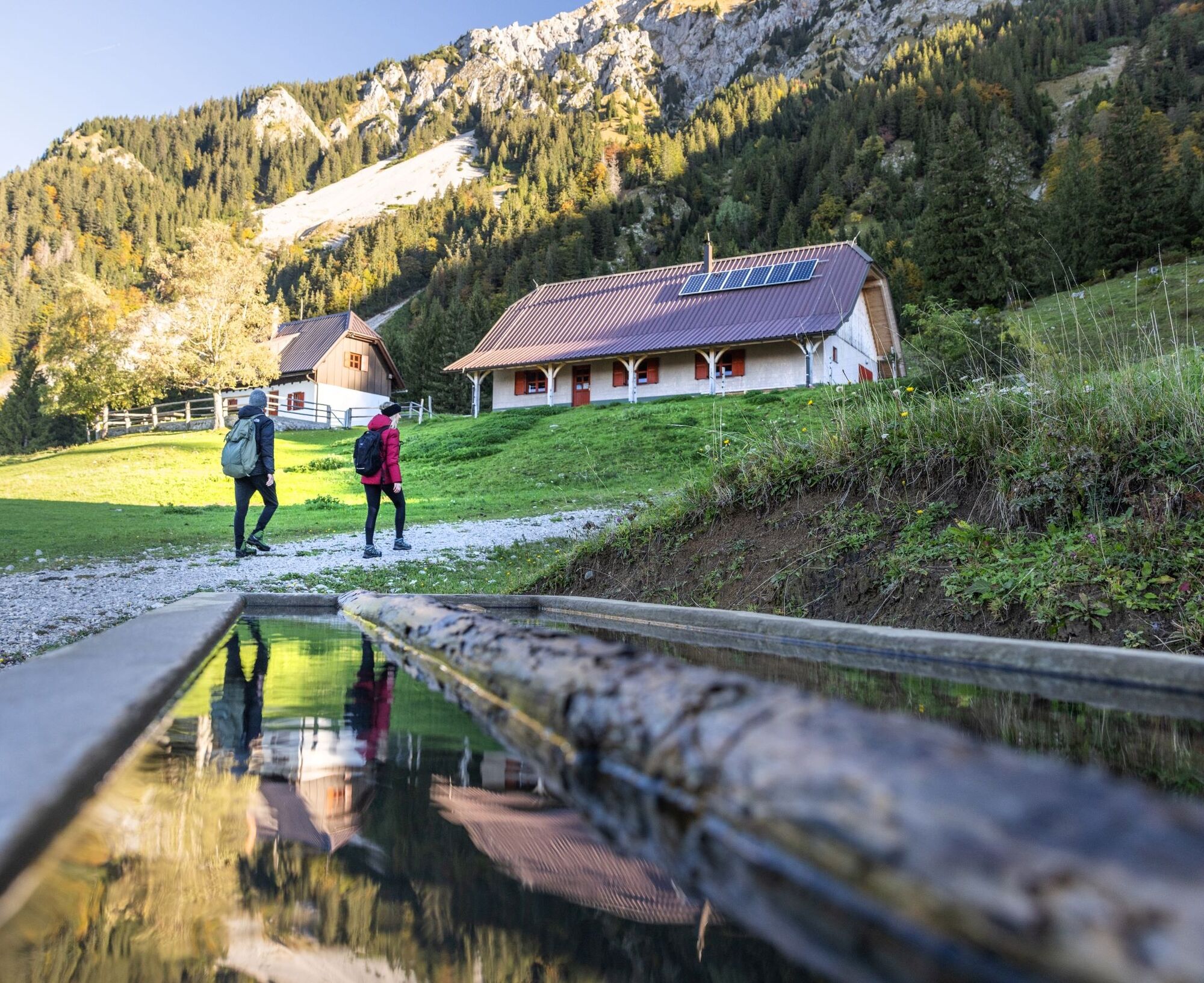
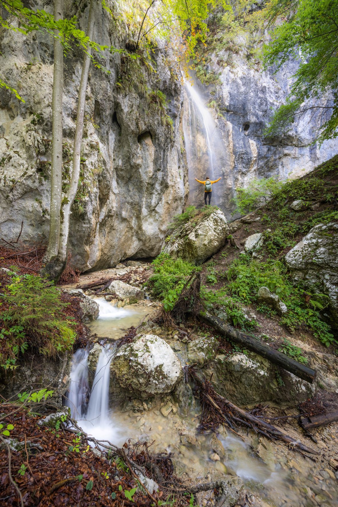
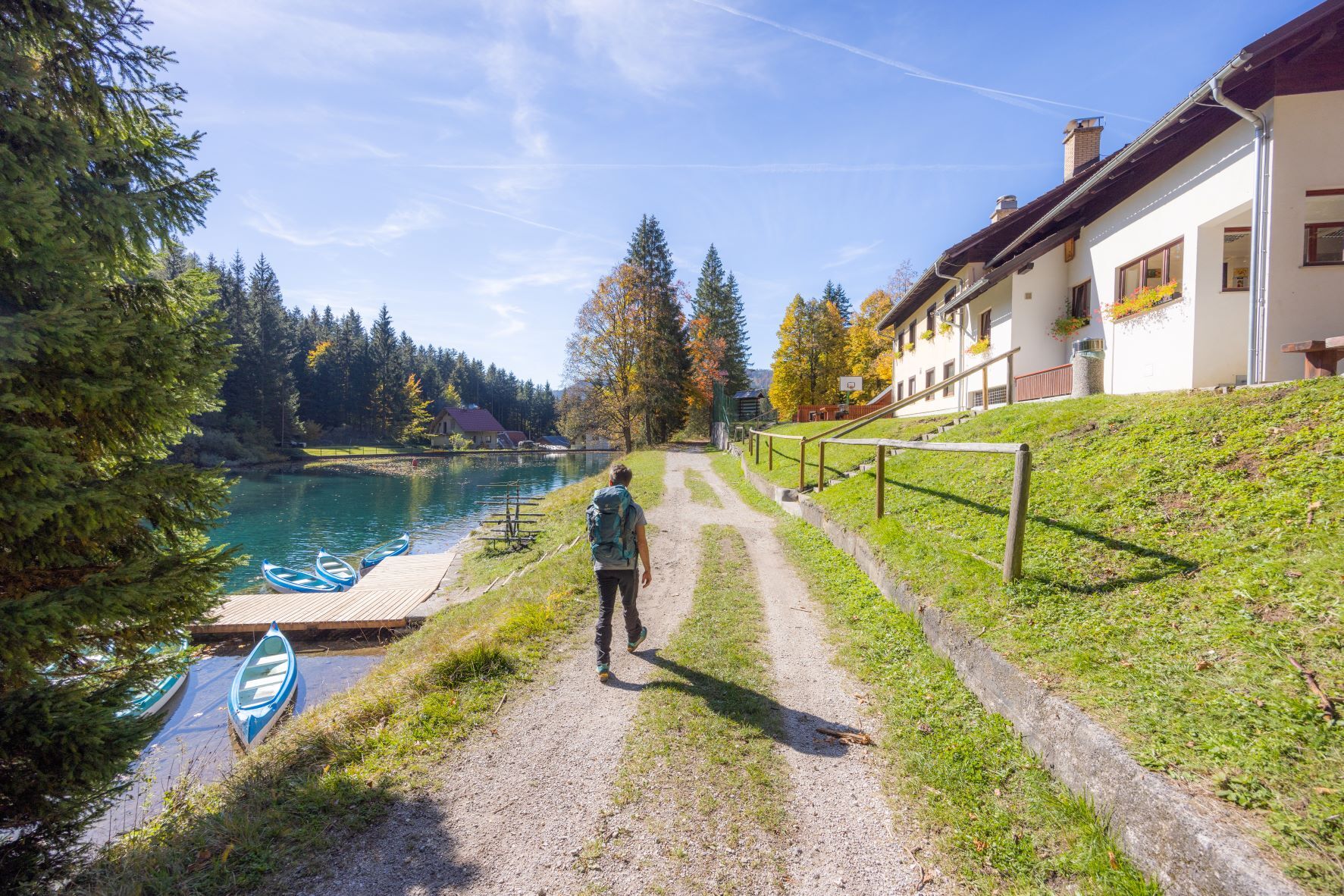
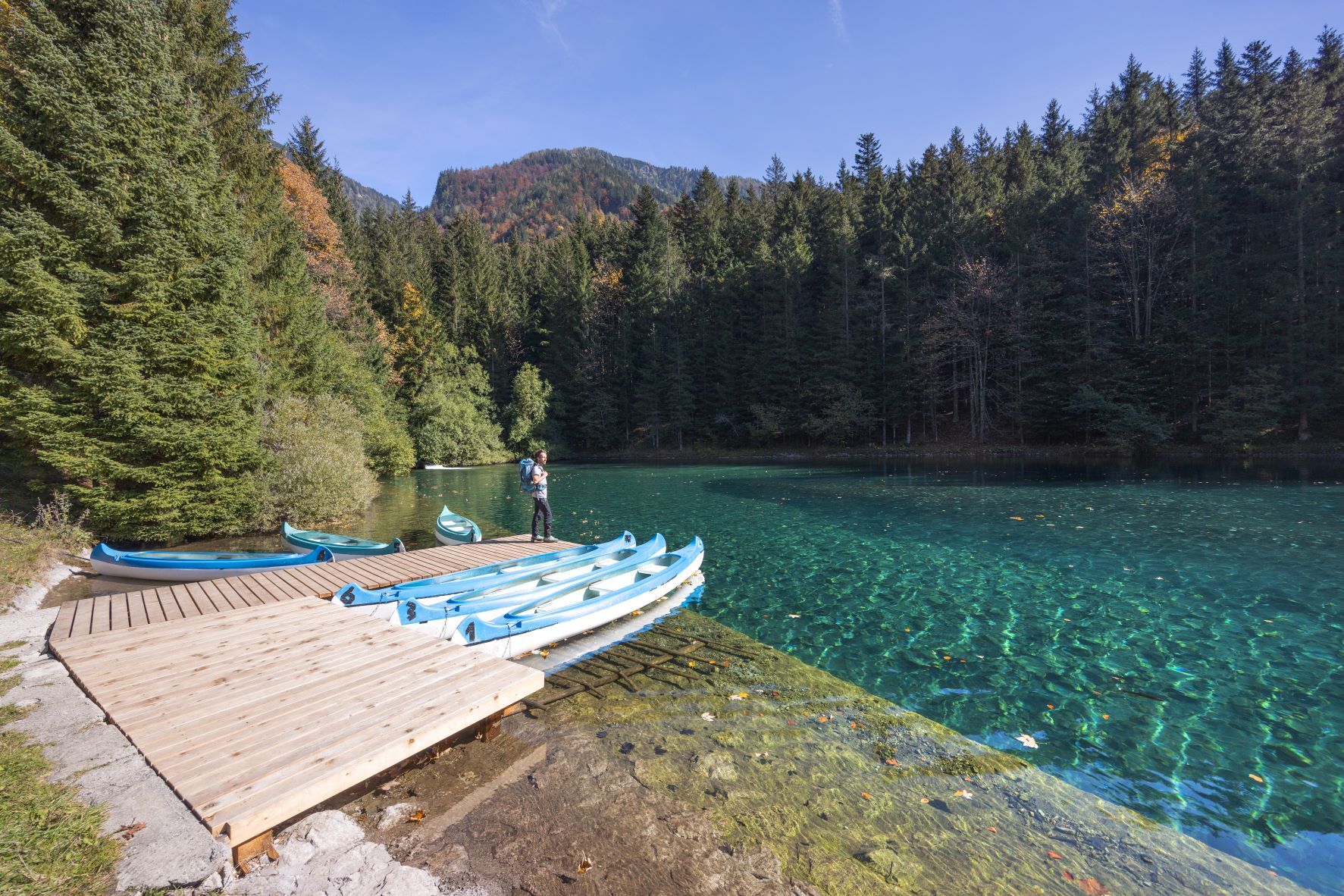
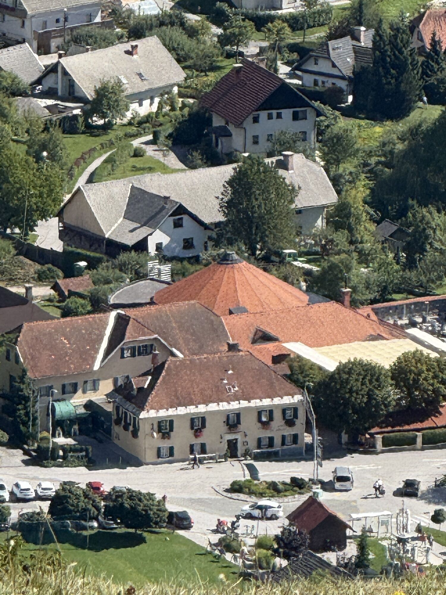
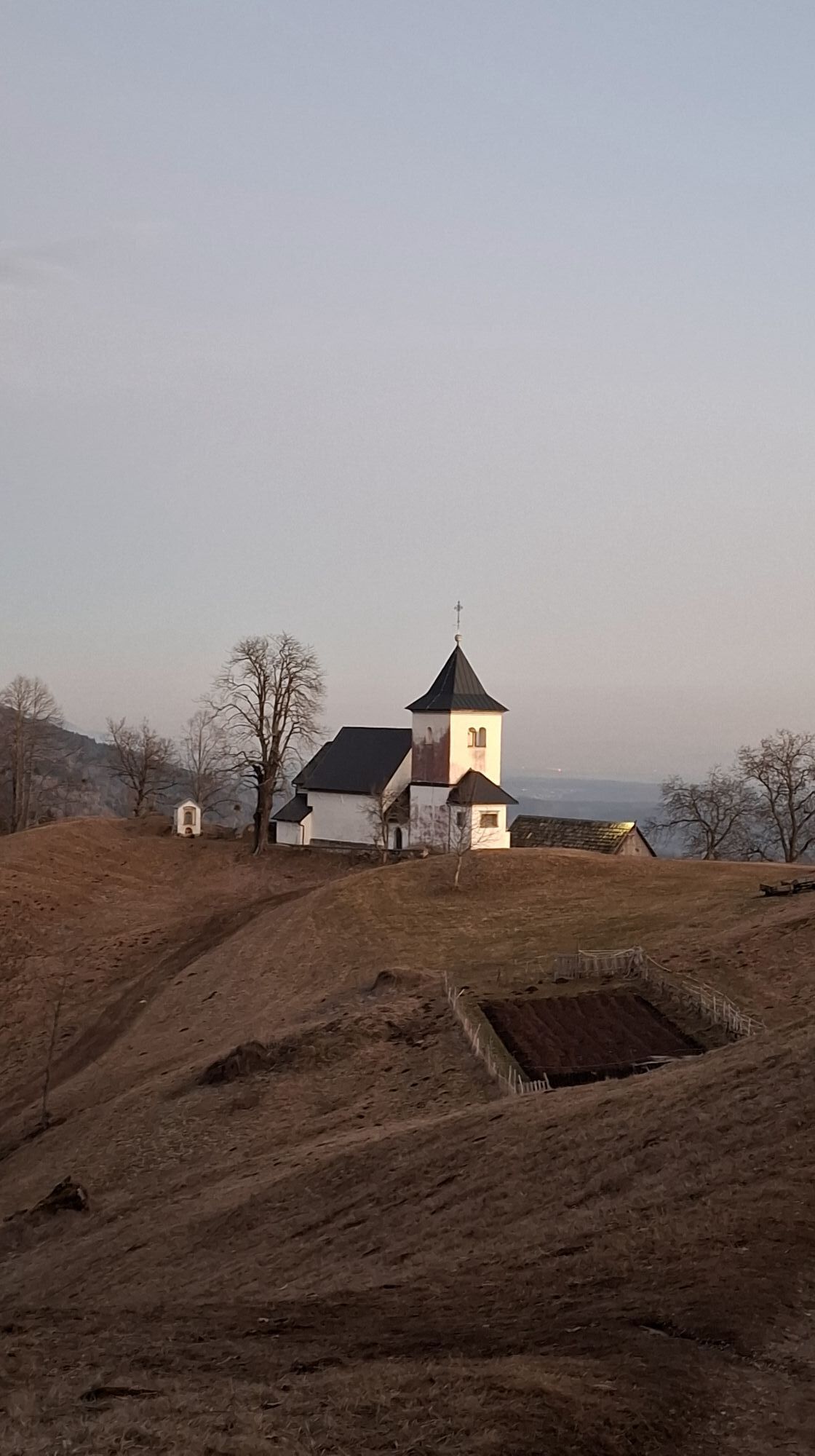
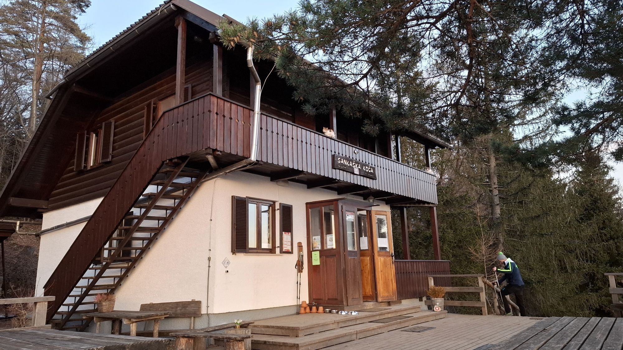
We leave Begunje na Gorenjskem, hike to the church of St. Peter along the marked path and continue on the gravel road to the Sankaška hut. Behind the hut, we look for the direction towards the Završnica valley. When we pass the turnoff for Smokuški vrh, our path begins to descend. We follow the markings all the way to the intersection (steeply down to it) for Roblekov dom and Poljška planina. We continue slightly to the left, along the forest road to Završnica and later follow the red mountain signposts for TinÄkovo koÄa (a private cabin, not a mountain hut). On cute wooden signposts, next to TinÄkova koÄa, find the direction to Zabreška planina and the hut Valvasorjev dom. Here and there, next to the trail marks, we notice a no. 1, which means that we are walking along the Slovenian Mountain Trail. We are already high above the valley and one should carefully follow the markings so as not to miss any of the turnings towards Valvasor. Due to occasional forest cutting above Dleskovška planina, markings or paths are not visible for a short while. With the help of a GPX track, head towards Zabreška planina and follow the signs to Žirovniška planina, and above it join the path to Valvasorjev dom. After a possible stop at the hut, we follow the mountain sign for the hut Dom Pristava and continue along the gravel road. We will notice yellow signposts along the way, but towards the scenic mountain Stamare, we will head at the intersection, where the marked path goes down to the left, and we go up to the right. Mountain pasture Stamare is the highest point of this stage. During the longer descent from the mountain pasture, yellow dots keep us company. At the direction signs above the dam of a stream, continue straight for a few more meters in the direction of Medji dol, and at the next intersection turn left for CŠOD Trilobit (10 min). We are accompanied by a roaring stream, and then our eyes rest on the dazzling colours of the nearby lake. From Trilobit, we go down the gravel road, go right along the main road and take the marked shortcuts to the hut Dom Pristava. End of stage.
Sturdy hiking shoes, backpack with snacks and drinks, walking poles (optional), a phone with an uploaded GPX track. An additional portable battery (power bank) is also recommended if the phone may already have a bad battery.
Before you go:
Check the weather forecast. Especially in the summer, set out early enough to avoid the summer heat and afternoon thunderstorms. Inform someone close to you of your destination and departure time. Check that the length, gradient and time of the route correspond to your level of ability before setting off and do not overestimate your capacities.
During your hike:
Follow the marked paths Take away your rubbish, do not light fires, be discreet so as not to frighten wild animals, and do not pick wildflowers or plants, a photo should be a sufficient souvenir. Cross mountain pastures responsibly and safely. Avoid contact with grazing animals and do not feed animals, keep a safe distance. Fences must be considered. Where there are gates, use them and close them well behind you.
Leave the Ljubljana-Jesenice highway either at exit no. 5-Brezje or at exit no. 4-Radovljica and drive towards Begunje na Gorenjskem.
Bus:
Kranj-Begunje na Gorenjskem TržiÄ-Begunje na Gorenjskem
Ljubljana-Kranj, and then a bus connection to Begunje na Gorenjskem
Bus to Kranj and then to Begunje na Gorenjskem
Free gravel parking opposite Restaurant Avsenik
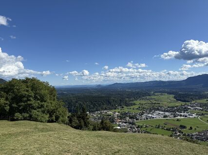
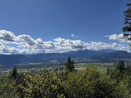
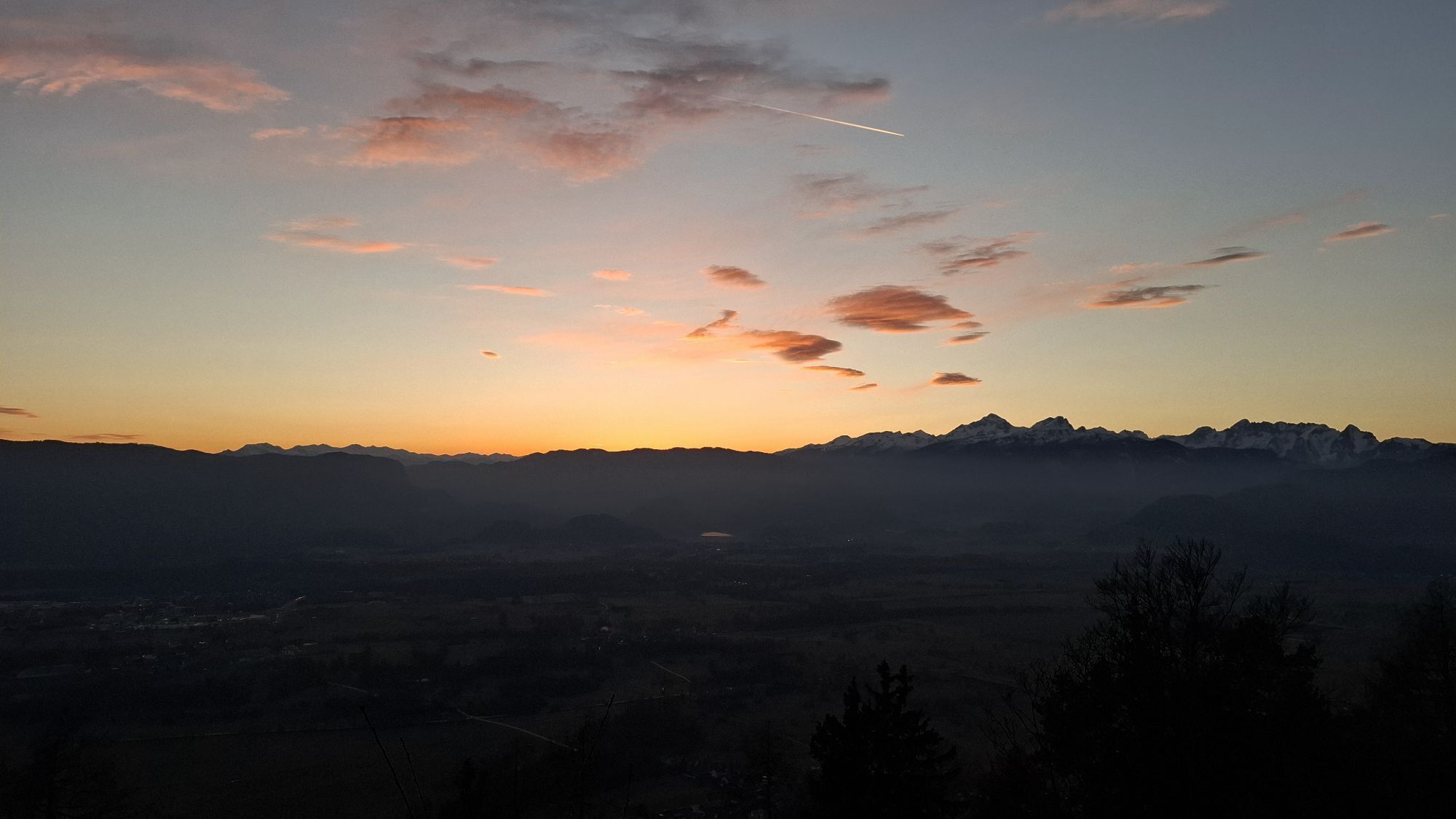
The fifth stage of the Karavanke long-distance hiking trail is more demanding and rugged, full of mountain pastures with wonderful views of Gorenjska and the Julian Alps. There are no major problems with orientation, but it is still suggested to upload the GPX route on one of the hiking applications, for use in "off-line" mode.
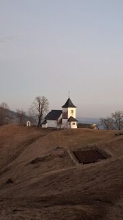
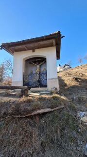
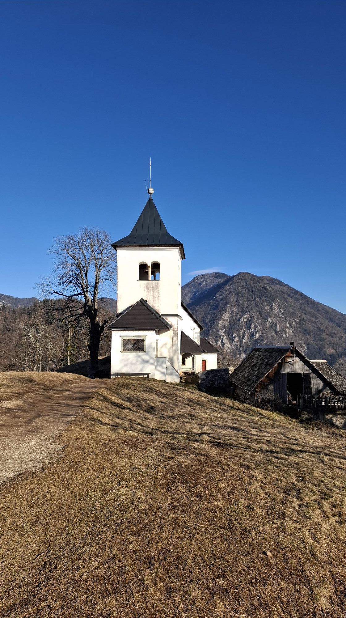
Sometimes the church of St. Peter is open, we recommend a visit.
There are several mountain huts along the way:
Hut Sankaška koÄaHut Valvasorjev dom pod StolomHut Dom PristavaBefore setting off, check the opening hours of mountain huts. On weekends with nice weather (spring-autumn) most of them are open, but during the week their schedules may vary.
Obľúbené výlety v okolí
-
4,2
From Bärental to the Kosiak (Klagenfurter Hut)
strednáTuristika 9,67 km -
4,7
Water experience trail Hainschgraben
strednáTuristika 9,23 km -
4,7
Sinacher Gupf crossing
strednáTuristika 8,32 km -
4,6
Kosiak
strednáTuristika 9,58 km -
3,8
Singerberg, über die Südseite
strednáTuristika 7,87 km -
4,7
Ogrisalm ab Bodenbauer, Kärnten/Österreich
svetloSkitour 11,2 km -
4,2
Slow Trail Meerauge
svetloTuristika 5,25 km -
4,8
Hochstuhl 2236m über Klettersteig
strednáVia ferrata 9,67 km -
3,7
Hiking route Bodental/Klagenfurter Hut
strednáTuristika 11,9 km -
3,8
Klagenfurt hut
strednáTuristika 6,86 km
Turistika a stopovanie


Nenechajte si ujsť ponuky a inšpiráciu na ďalšiu dovolenku
Vaša e-mailová adresa bol pridaný do poštového zoznamu.