


Kanjavec (2569 m) behind Debeli vrh - a magnificent Bohinj tour


Kanjavec is Slovenia's most important, highest and most magnificent mountain for ski touring. It can be accessed and skied back to Krma, to Bohinj, through the valley of the Triglav Lakes or to Trenta....
Kanjavec is Slovenia's most important, highest and most magnificent mountain for ski touring. It can be accessed and skied back to Krma, to Bohinj, through the valley of the Triglav Lakes or to Trenta. The altitude differences are great, the ambience is magnificent, all the ascents are long and challenging, while all the descents are smooth and exhilarating.
On the Bohinj side, the mighty mountain offers four possible descents: over the pass Mišeljski preval to the Krstenica mountain, along the eastern or western side of the Debeli vrh to the mountain Laz, or over the dangerous traverse below the Vršaki mountains to the Za Kopica valley and to the Planina pri jezeru. All four variants converge together at the mountain Blato. Our tour through the valley behind Debeli vrh (eastern variant) is the most common choice.
A forest road leads to the mountain Blato. The road is not cleared from snow in winter and if you start the tour from the valley, you have to expect a long seven-hour climb. Transport to the mountain, or at least to the vicinity, saves two hours, which is why most ski visitors go to Kanjavec from mid-April onwards, when the road is usually already passable.
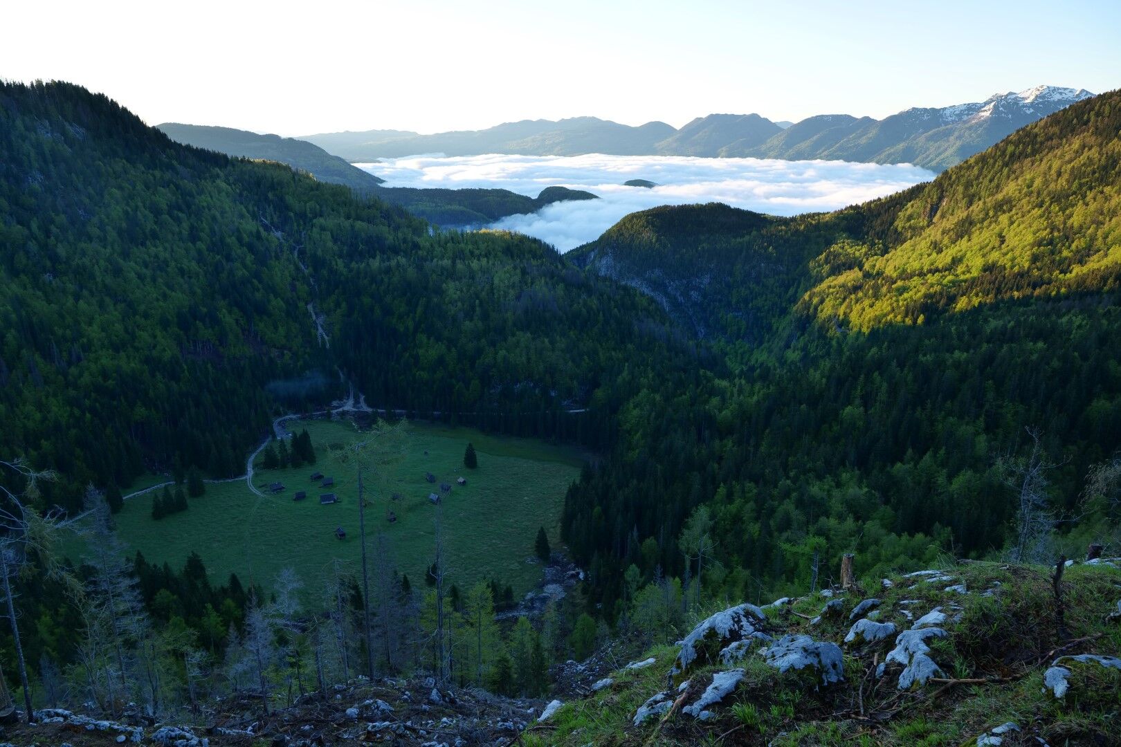
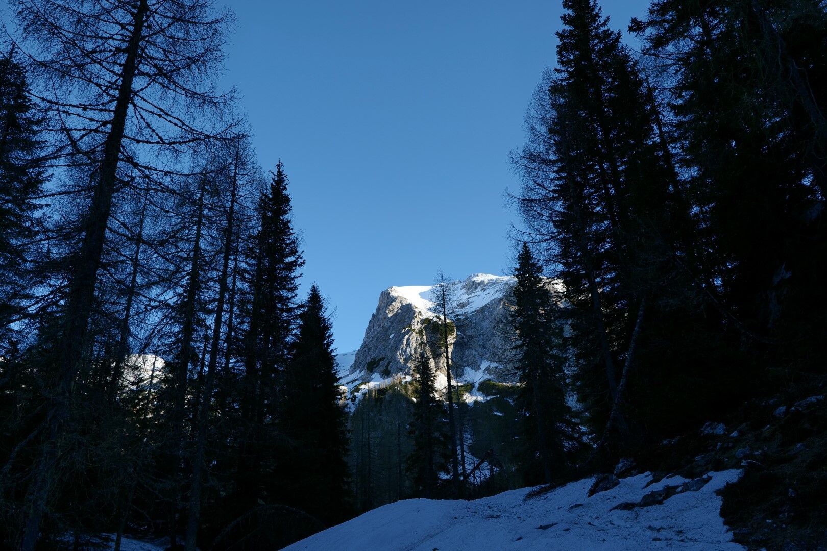
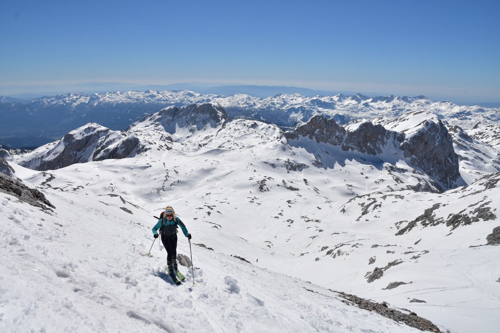
From the mountain Blato we proceed into the forest; first through the beech forests, then on through the old and mysterious spruce forests below Debeli vrh to the mountain V Lazu. There, the world opens up and we continue along the wide couloir on the eastern side of Debeli vrh, through increasingly sparse larch trees, to the pass Lazovški preval. From the pass we continue upwards until the hidden valley behind Debeli vrh opens up in front of us, leading us to the sprawling plains of Hribarice, above which reigns the double-headed peak of Kanjavec. For ski ascents from the coastal side, the left, western peak is more convenient, and for ascents from Bohinj, the right peak.
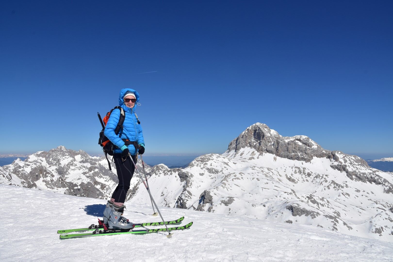
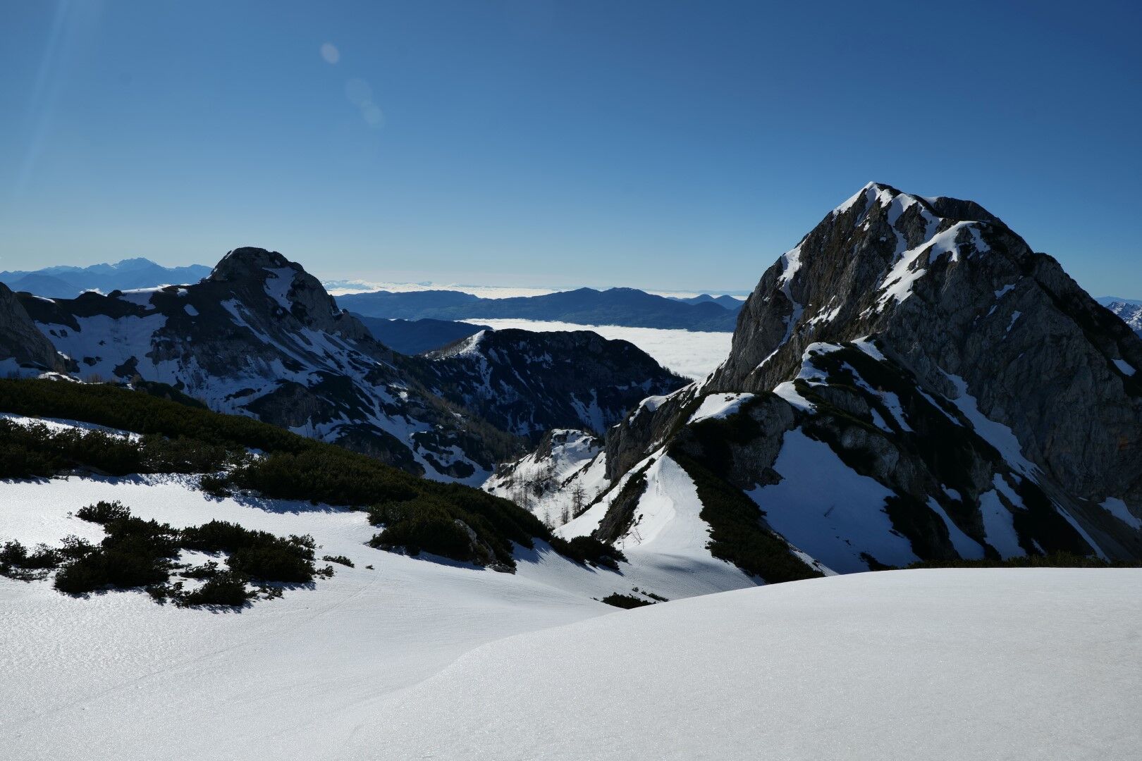
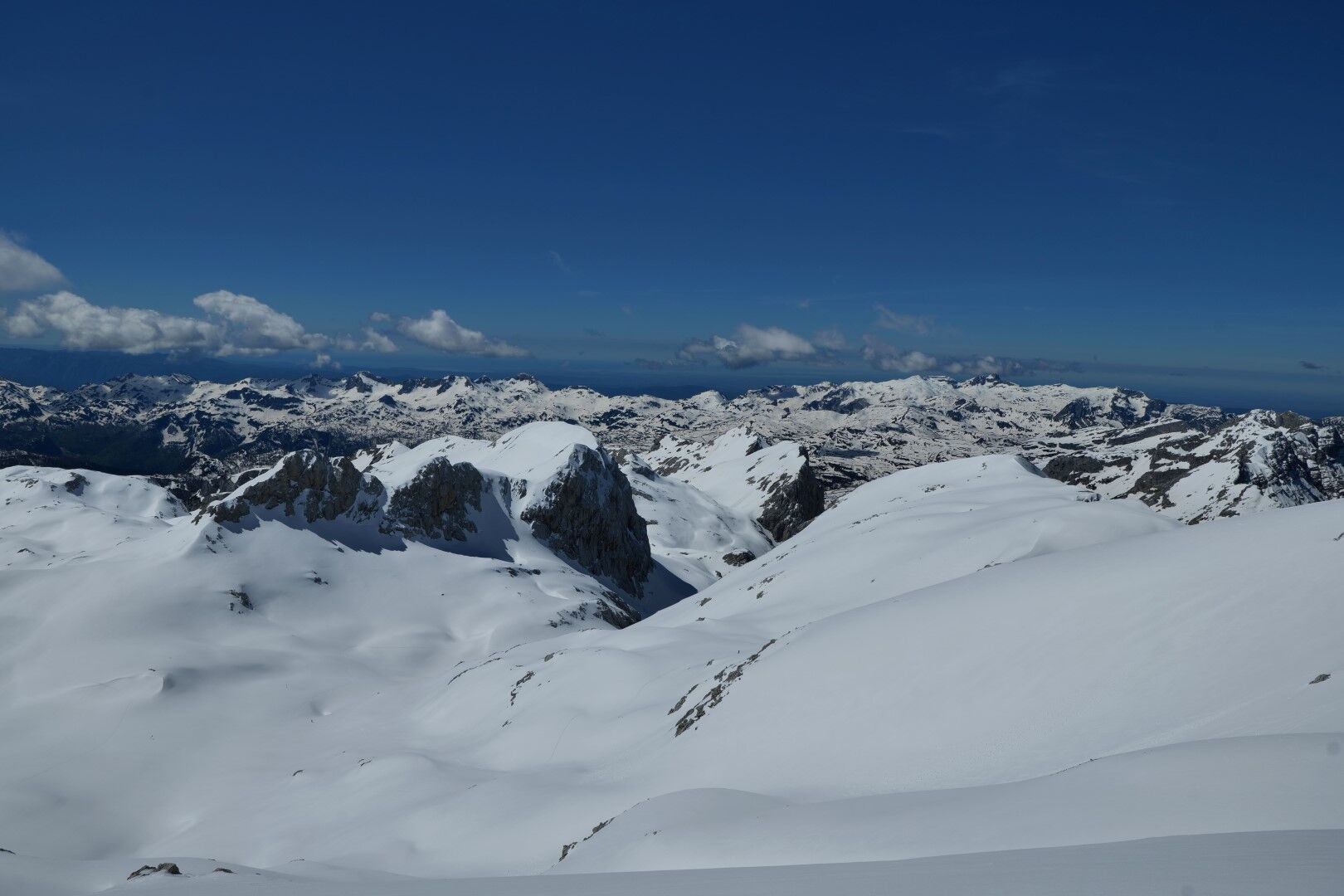
Kanjavec is a high mountain, which is why we are rewarded with exceptional views. Right in front of our noses rises the towering mass of Triglav, all the peaks on the southern half of the horizon are lower, sharply cut ridges spread out one after the other on all sides, and in good weather we can count the highest peaks of the Italian Dolomites and the Austrian High Tauern on the horizon.
We ski back in the direction of the climb.
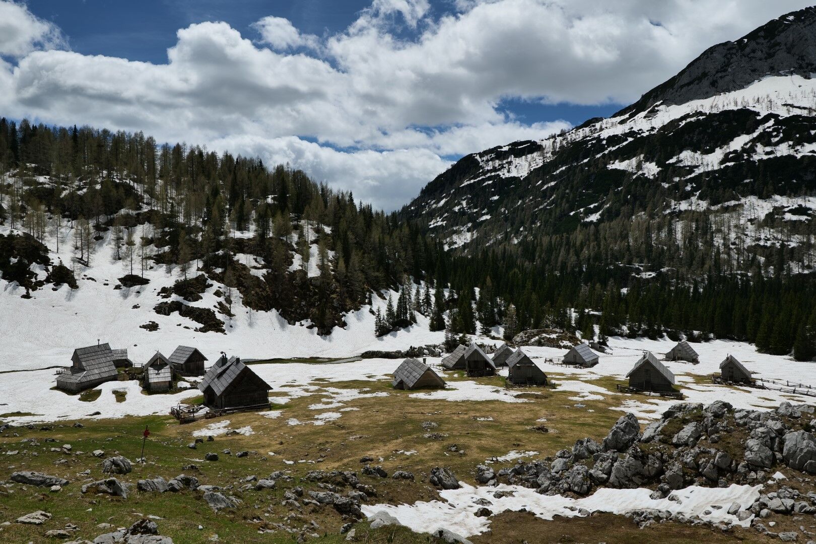
From Stara Fužina (551 m), follow the forest road on foot or by car all the way to the mountain Blato (1147 m).
At the signpost, a track leads up to the mountain Pri jezeru, which branches off to the left. In a hollow, about 20 minutes' walk further on, the path forks; we take the right turn upwards, to the top of the steep rocky cliffs that surround the mountain Blato. The path soon turns north-west, into the heart of the dark spruce forests, through which we continue to the mountain V Lazu (1560 m).
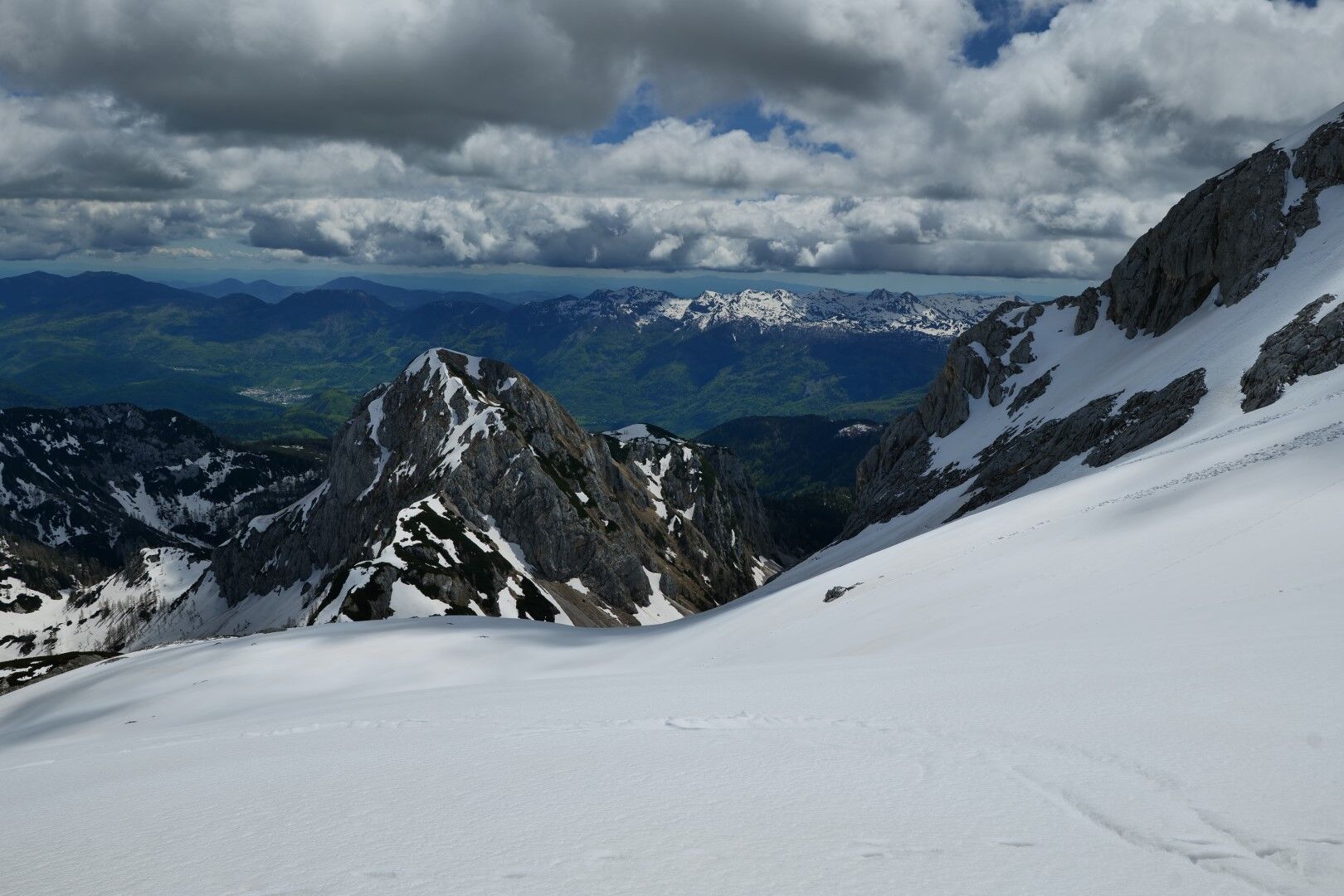
We descend to the mountain and on the other side we continue up to the pass Lazovški pr; in the switchbacks we ascend through a wide chute between Debeli vrh on the left and the Ogradov ridge on the right.
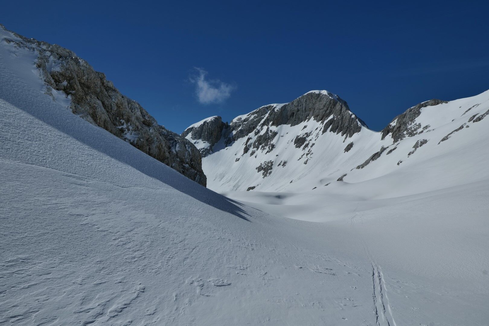
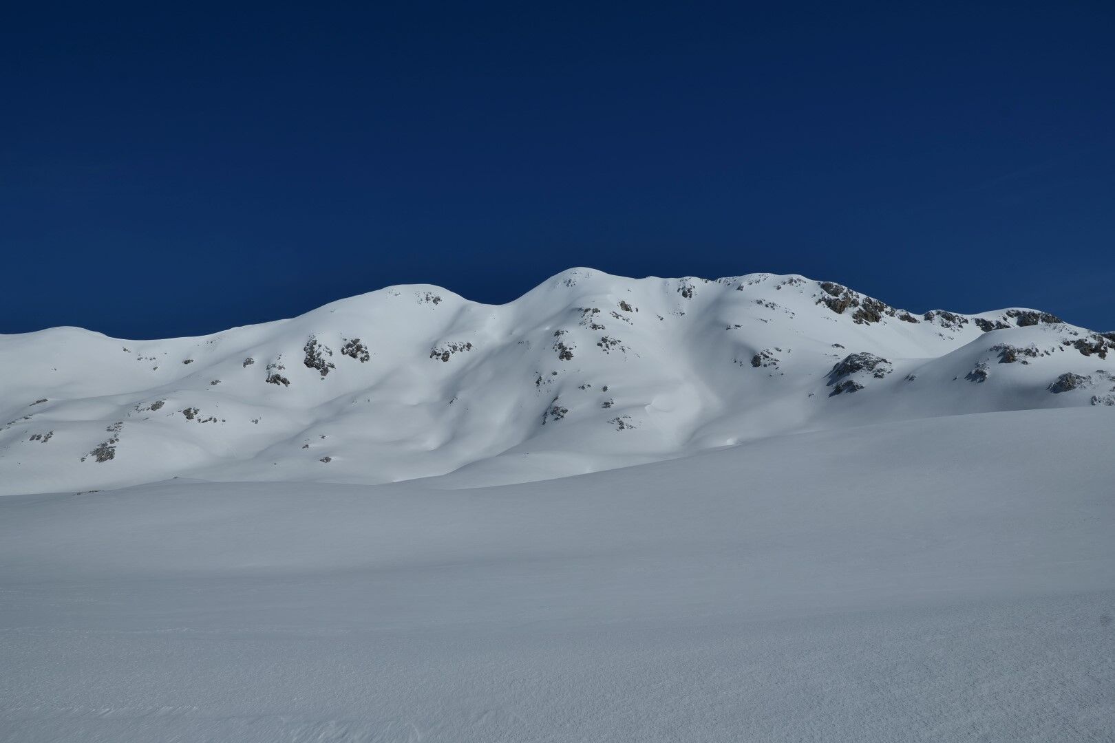
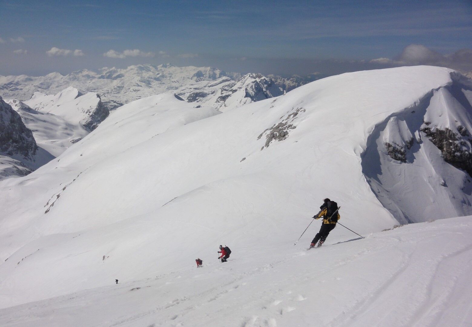
We continue uphill from the pass until the valley Za Debelim vrhom opens up right below us. If conditions permit, we descend as high as possible over the slopes of Debeli vrh, but if conditions are not reliable enough, we descend into the valley at the very beginning. We continue along the valley as far as the Hribarice plateau (2300 m), from where we can see the summit slopes of the double-headed Kanjavec.
There are several options for ascending to the summit (right). The most convenient choice is to follow the valley between the two peaks, turn right on the ridge just before the valley emerges, and ascend the ridge to the eastern summit of Kanjavec (2568 m).
The most beautiful ski descent from the summit leads directly down to Hribarice, but in this case you have to put the skins back on your skis to cross over the mountains to the other side to the beginning of the valley behind Debeli vrh. If you want to avoid this traverse, descend in an easterly direction to the saddle below the Mišelj end and there take a gentle semi-circular descent that leads to the beginning of the valley behind Debeli vrh.
The rest of the descent continues in the area of the ascent.
Usual winter equipment: avalanche triplet (avalanche transceiver, avalanche probe, shovel), touring skis, touring bindings, touring ski boots; ski skins, touring poles; crampons, ice axe. Since the tour is long, you should make sure you have sufficient drinks.
The route is challenging in terms of orientation, especially through the forests between mountain Blato and mountain V Lazu. The few orientation markers are often hidden or snow-covered, so it is very advisable to download a gps track app on your phone. Of course, you can also use a map if you know how to use it.
The slopes of the valley below Debeli vrh are prone to avalanches, so we need to adapt our ascent and descent to the actual conditions.
From the direction of the Jesenice - Ljubljana highway: exit at Bled and continue to Lake Bohinj. From there turn in Stara Fužina and drive through the village to the forest road leading to the mountain Blato. The road is a toll road, the daily fee is 12 € (in 2023).
From the coast side: through Baška Grapa and via Soriška planina.
From Ljubljana there is a bus to Bohinj every hour (from 5.15 to 21.00: www.ap-ljubljana.si/avtobus/Ljubljana...). The first bus arrives at Bohinj lake at 6.45 am. When the road is passable (usually from mid-April), you can hire a local transport service from the lake to the mountain Blato, which will pick you up after the tour.
You can park on the forest road or on the parking lot in front of the mountain Blato.
Through the forests on the way to the mountain V Lazu, we often come across the tracks of our predecessors, which make orientation much easier, but we should not rely on this possibility.
The route is long and demanding, especially if you start from the valley, therefore adequate physical fitness is a must.
Obľúbené výlety v okolí
-
4,8
Krma - Triglav
ťažkéHorská turistika 18,6 km -
4,9
Triglav
ťažkéVysoké turné 12,1 km -
4,9
Viševnik 2050m
svetloHorská turistika 6,97 km -
4,4
Hüttenkult - Koča v Krnici
strednáTuristika 14,9 km -
4,6
Spaziergang entlang der Pišnica
svetloTuristika 8,13 km -
4,8
Roundthelake
svetloTuristika 11,4 km -
5,0
Triglav lakes hike
ťažkéTuristika 23,7 km -
4,6
Prisank
strednáVia ferrata 9,13 km -
4,6
Wasserfall Pericnik
strednáTuristika 5,29 km -
4,7
Soca Trail
svetloTuristika 23,0 km
Turistika a stopovanie


Nenechajte si ujsť ponuky a inšpiráciu na ďalšiu dovolenku
Vaša e-mailová adresa bol pridaný do poštového zoznamu.