


Pontresina - Val da Fain - Pontresina


Fotografie našich používateľov
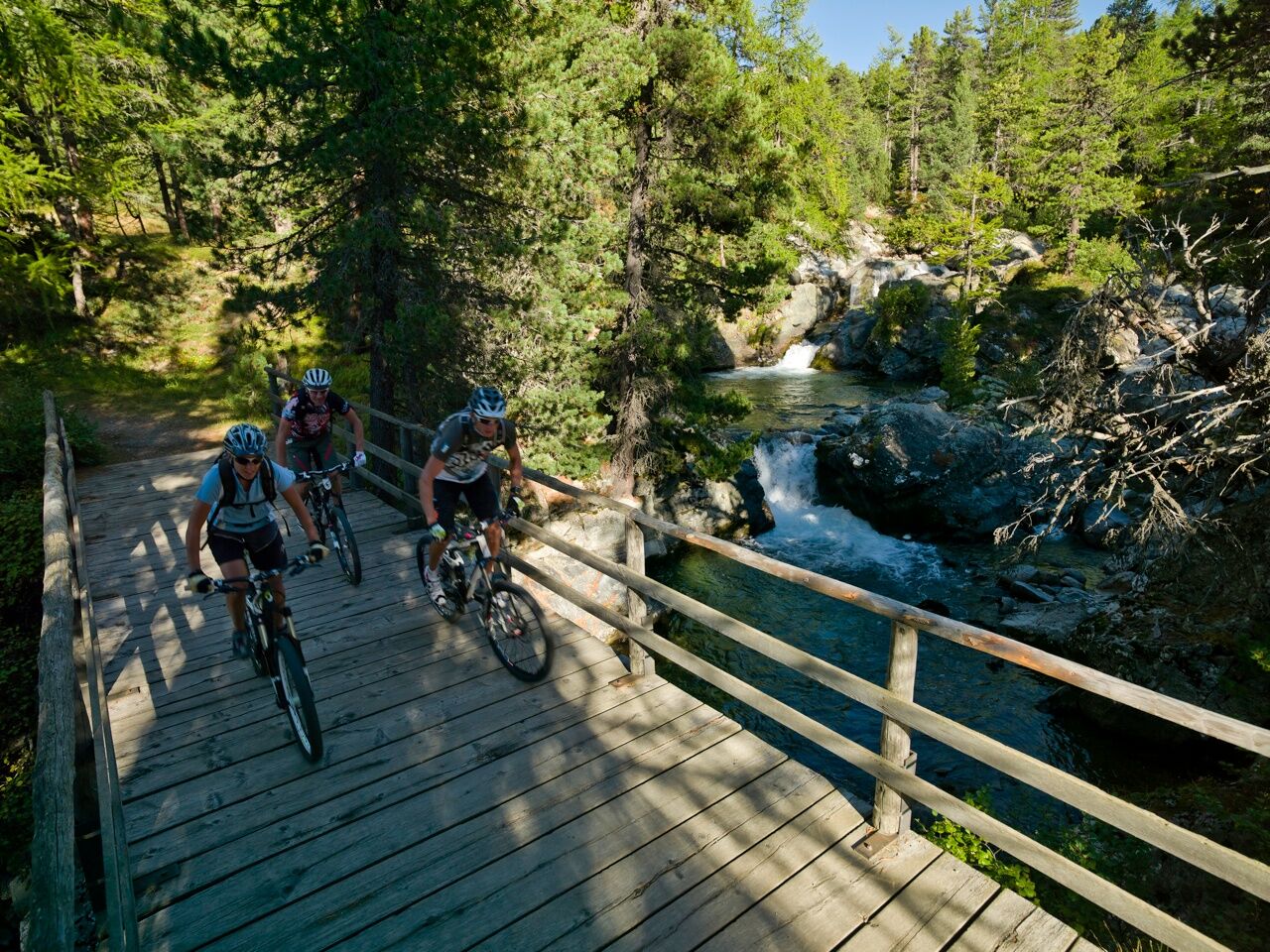
The slightly uphill bike trail in the direction of the Bernina Pass begins at the exit of the village of Pontresina. At the waterfall (on the right-hand side of the valley) the trail crosses the road and...
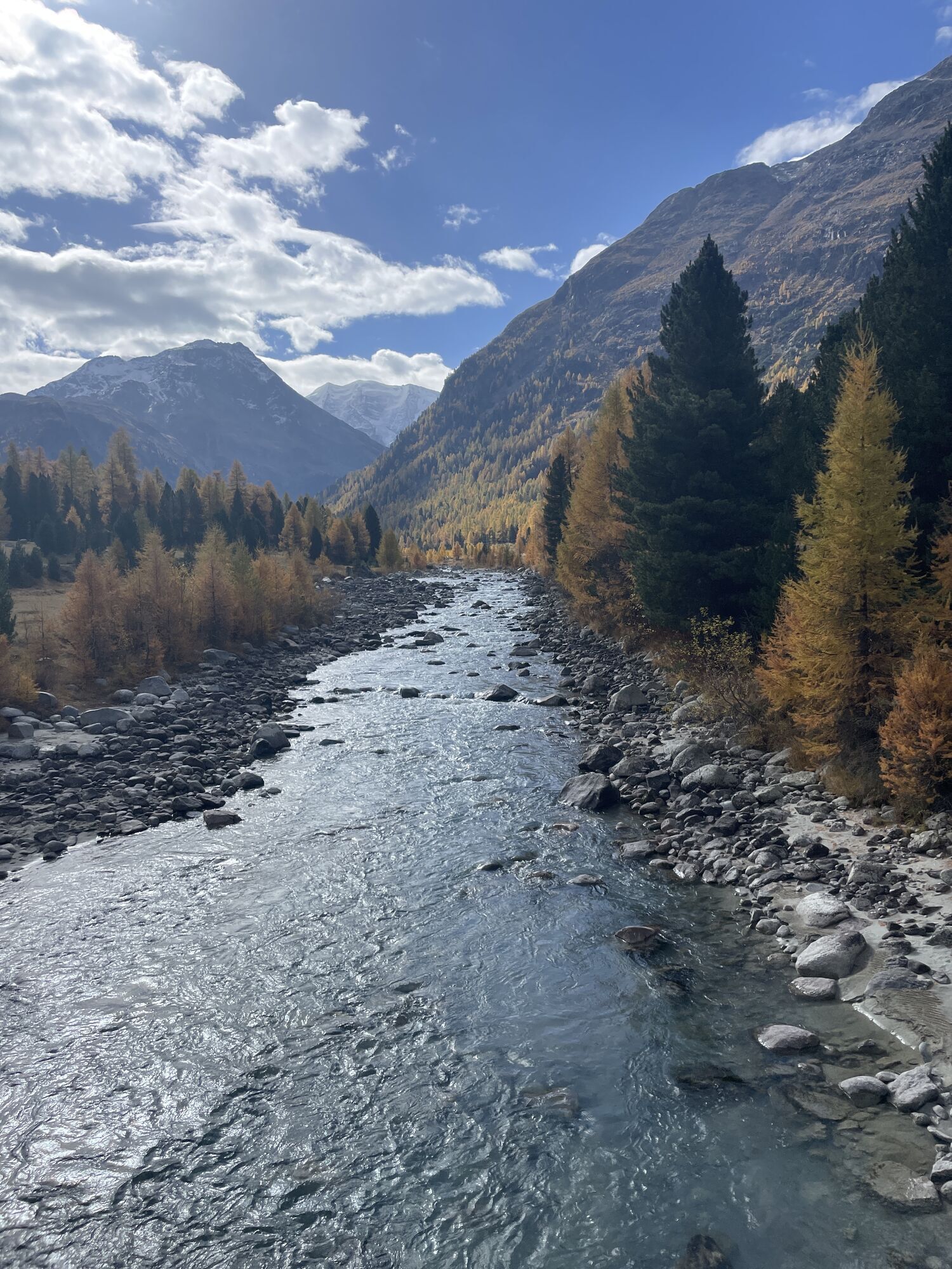
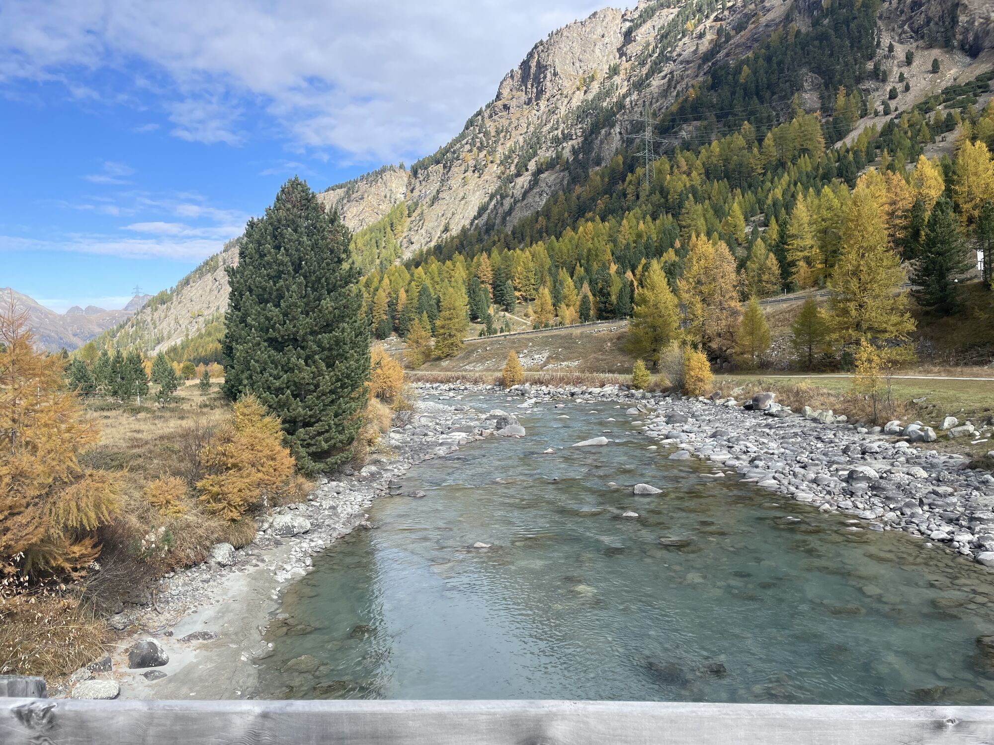
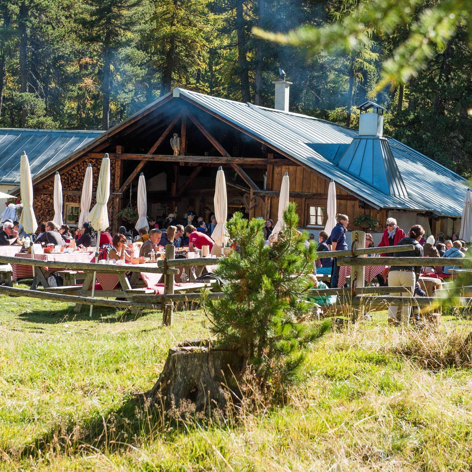
The slightly uphill bike trail in the direction of the Bernina Pass begins at the exit of the village of Pontresina. At the waterfall (on the right-hand side of the valley) the trail crosses the road and follows the edge of the forest on the left-hand side of the valley to Morteratsch. The alpine cheese-making dairy is ideal for a stop - either for a brunch or to watch close-up how cheese is made. Fortified, we then tackle the tough climb to the back of Morteratsch. Following the Bernina stream we reach the houses of Bernina Suot and from there we turn left into the Val da Fain. It is well worth making a stop from time to time - not just for a breather, but also to enjoy the views back towards the Bernina Massif. The glacier-covered mountains of the Palü seem almost within reach. Alp Stretta is our turning point and all the efforts of the ascent are instantly forgotten as we take the descent back to Pontresina.
More information
Engadin St. Moritz Tourismus AG
Via Maistra 1
CH-7500 St. Moritz
Phone: +41 81 830 00 01
E-mail: allegra@engadin.ch
Internet: www.engadin.ch


Pontresina - Morteratsch - Bernina Suot - Val da Fain - Alp la Stretta - Val da Fain - Bernina Suot - Resgia - Pontresina
In Val da Fain you can hear and see many marmots.
Webové kamery z prehliadky
-
St. Moritz / Samedan - Muottas Muragl
-
Camping Morteratsch
-
Samedo - Engadin Golf
-
St. Moritz / Samedan - Muottas Muragl
-
St. Moritz / Samedan - Muottas Muragl
-
St. Moritz / Samedan - Muottas Muragl
-
St. Moritz / Samedan - Muottas Muragl
-
Diavolezza Bergstation
-
Diavolezza Bergstation
-
Diavolezza Bergstation
-
Diavolezza Bergstation
-
Diavolezza Bergstation
-
Diavolezza Bergstation
-
Diavolezza Bergstation
-
Diavolezza Bergstation
-
Celerina - Cresta Palace
-
Celerina - Skiwiese Provuler
-
Samedan - Engadin Airport
-
Bergstation Lagalb
-
Bergstation Lagalb
-
Bergstation Lagalb
-
Bergstation Lagalb
-
Bergstation Lagalb
-
Bergstation Lagalb
-
Sporthotel Pontresina
Obľúbené výlety v okolí
-
5,0
Morteratsch railway station - Boval Hut
strednáTuristika 10,5 km -
5,0
Muottas Muragl - Segantini hut - Pontresina
strednáTuristika 6,46 km -
4,7
Diavolezza - Munt Pers
svetloTuristika 3,82 km -
5,0
Mountain hike to Lagh da Saoseo
ťažkéTuristika 15,0 km -
4,7
SAC Tschierva
svetloTuristika 24,7 km -
5,0
Alp Languard - Paradis hut - Pontresina
svetloTuristika 7,05 km -
4,5
Pontresina - Val Roseg - Pontresina
svetloTuristika 13,8 km -
4,8
Paradis route
svetloTuristika 4,81 km -
Muottas Muragl - Segantini Hütte - Pontresina
strednáTuristika 17,5 km -
4,5
Diavolezza - Lej da Diavolezza
strednáTuristika 6,22 km
Turistika a stopovanie


Nenechajte si ujsť ponuky a inšpiráciu na ďalšiu dovolenku
Vaša e-mailová adresa bol pridaný do poštového zoznamu.