


Nagens Trail route (693)
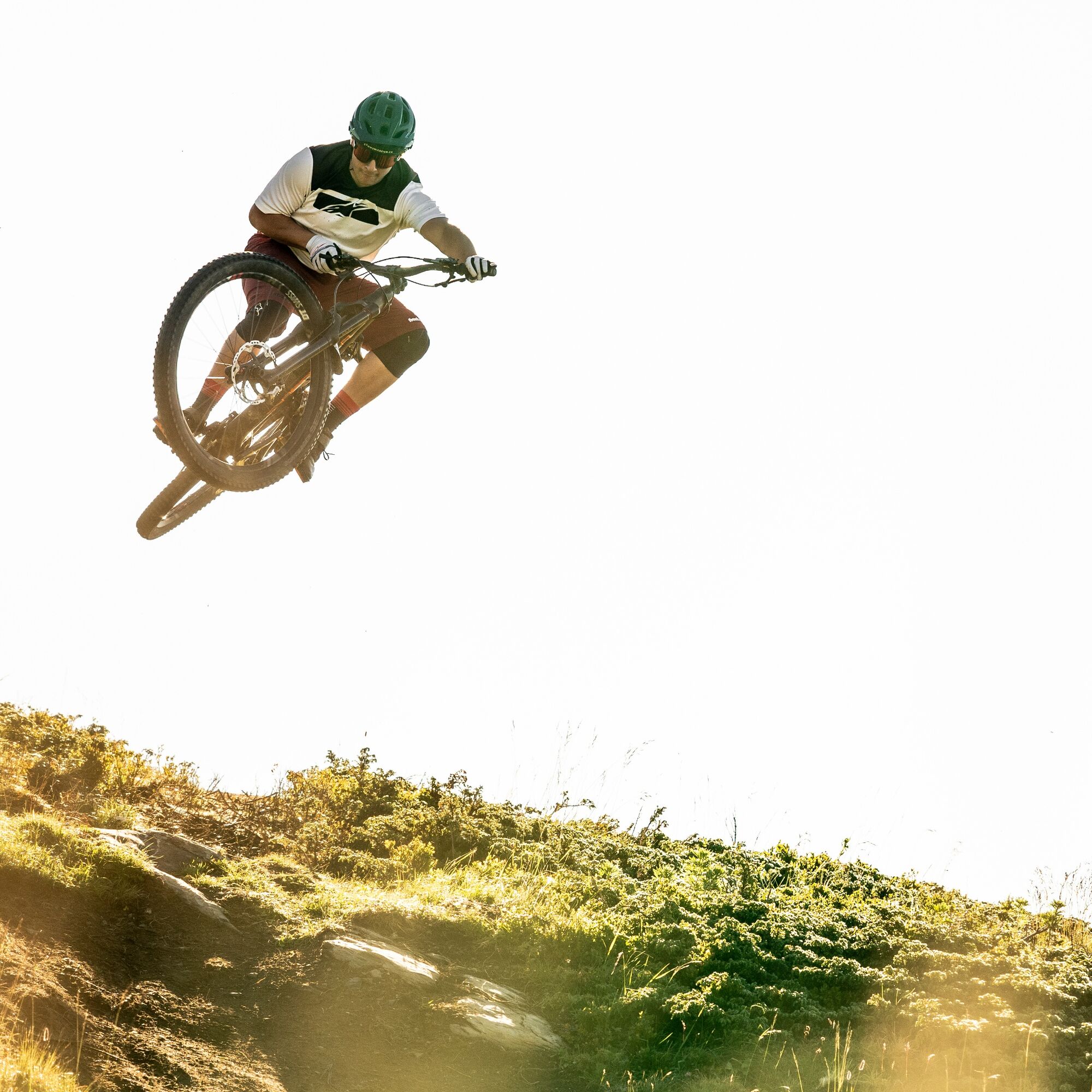
Úroveň náročnosti: S2


Take the cable car from Flims to Nagens Sura. From Nagens, follow signpost 693 to the start of the Nagens Trail. The first section of the Nagens Trail is blue and therefore suitable for beginners, leading...
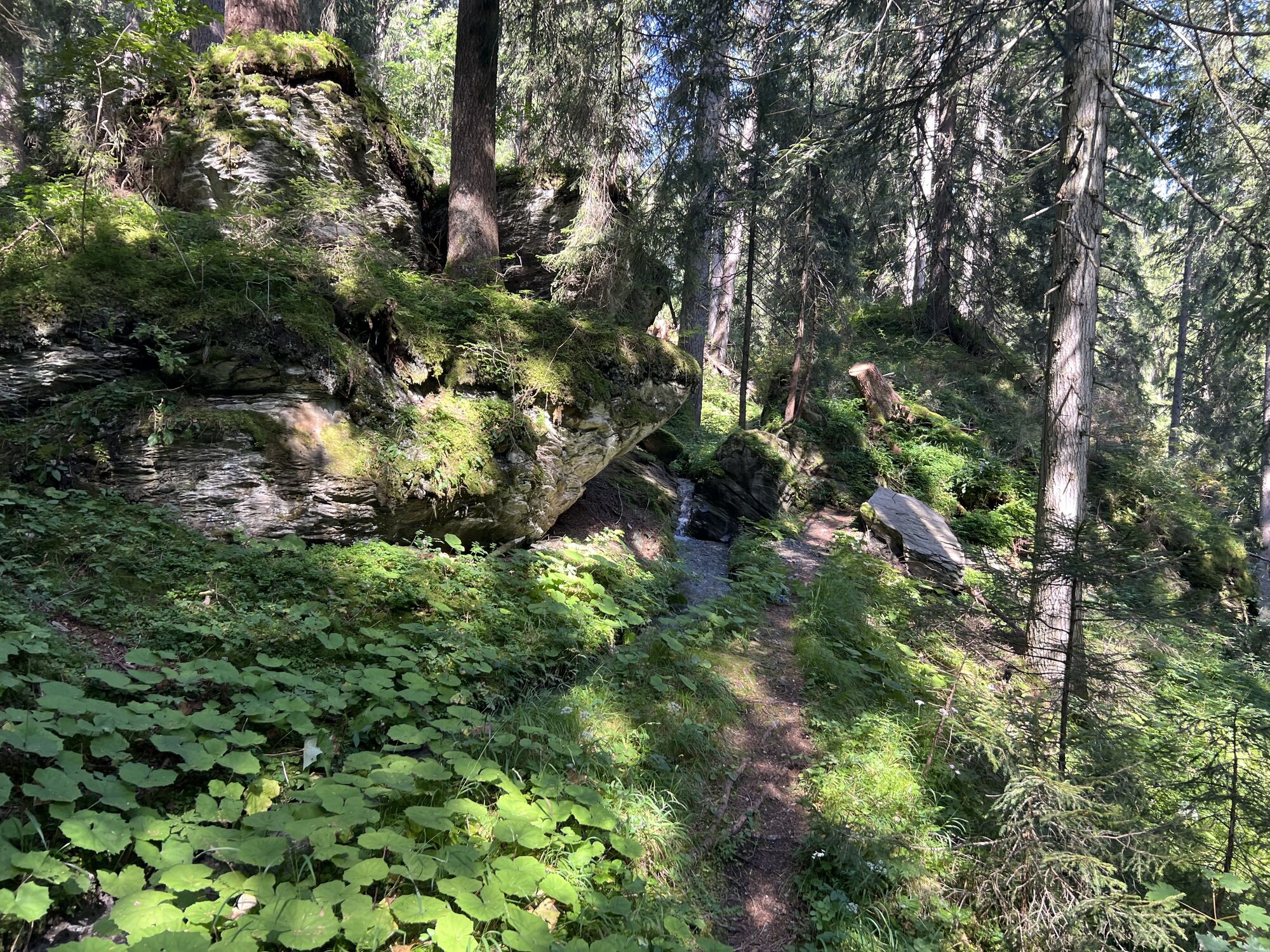
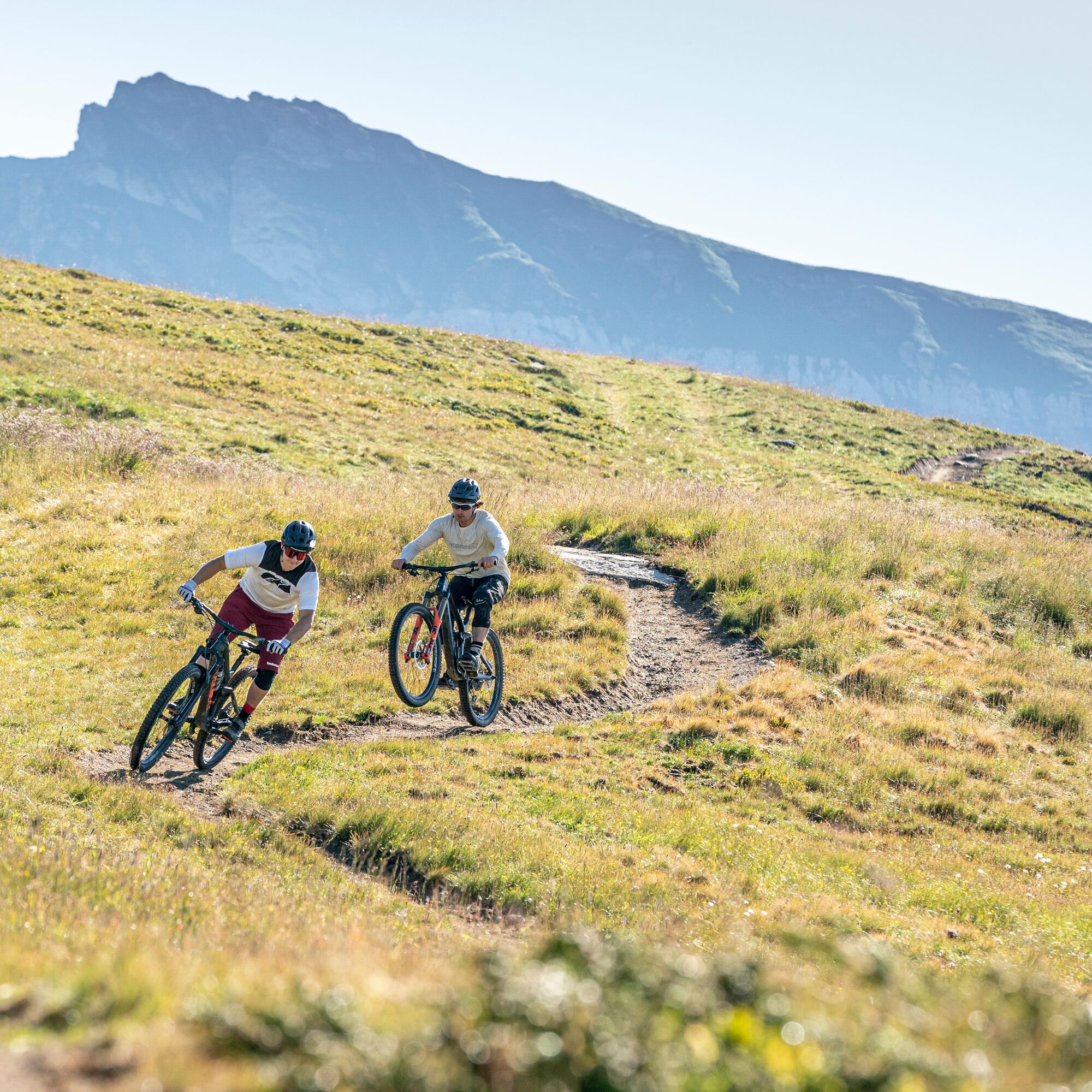
Take the cable car from Flims to Nagens Sura. From Nagens, follow signpost 693 to the start of the Nagens Trail. The first section of the Nagens Trail is blue and therefore suitable for beginners, leading you over rolling alpine meadows to Scansinas. After a short climb on the gravel road, you reach the second trail section. Now it becomes a bit more technical and the single trail winds along the edge of the forest towards Plaun. This section is known for its rooty ground and offers many options for advanced bikers.
From Plaun you are on the legendary Green Valley section, which passes through dense forest and over rooty passages. At Runca height, the Nagens Trail and the Runca Trail meet and via the lower part of the Runca Trail (694) it goes down to Flims.


By cable car:
From Flims valley station take the chairlift to Naraus - on the Runc Trail (694) to the Graubergbahn - take the gondola lift to Grauberg - follow the signs to the start of the Nagens Trail.
Without cable car:
From Laax Murschetg on the MTB Rout (247) to Nagens (8.2 km and 1010 meters altitude difference to the start)
Áno
Áno
Repair kit and first aid kit belong in the backpack.
Which lifts are open? Find out here.
By car onto the A13 motorway from Zurich to Chur, exit 18 Flims
Flims Dorf, cable cars
By post bus from Chur www.sbb.ch
Parking in the rocksresort cable car Laax parking garage or Stenna Flims parking garage.
S2
Gästeinformation Flims Laax Falera
Via Nova 62
CH-7017 Flims
Tel: +41 (0)81 920 92 00
E-Mail: info@flimslaaxfalera.ch
Internet: www.laax.com
Coffee & Cake Stop at the restaurant Runca Höhe with a wonderful view
Obľúbené výlety v okolí
-
4,5
4-lake hike
strednáTuristika 12,8 km -
4,7
The riverside trail: Trutg dil Flem
strednáTematická trasa 13,5 km -
4,7
Rhine Gorge Hike: Senda Ruinaulta (659)
svetloTuristika 9,39 km -
Piz Fess 2880m, der Stolze
ťažkéTuristika 12,8 km -
4,8
Rheinschlucht: From Ilanz to Versam into the heart of the Rheinschlucht
strednáTuristika 11,4 km -
4,3
Round trip hike Falera - Curnius - Alp Dadens - Falera
strednáTuristika 11,4 km -
5,0
Staderas - Conn - Rhein Gorge Ruinaulta-Staderas
strednáTuristika 19,8 km -
5,0
Rhine Gorge Circular Hike
strednáTuristika 11,4 km -
Rhine Gorge/Ruinaulta: Ilanz - Reichenau
strednáTuristika 21,2 km -
764 Trutg dil Flem, Flims Water Route (GRF)
ťažkéTematická trasa 13,3 km
Turistika a stopovanie


Nenechajte si ujsť ponuky a inšpiráciu na ďalšiu dovolenku
Vaša e-mailová adresa bol pridaný do poštového zoznamu.