


Geopark Rail Route


This varied circular cycle route in the central Hessian Lahn-Dill district repeatedly runs over former railway tracks and is great for the whole family. Outstanding about the GeoCycle Route Rail is that...
This varied circular cycle route in the central Hessian Lahn-Dill district repeatedly runs over former railway tracks and is great for the whole family. Outstanding about the GeoCycle Route Rail is that from arrival to the riding experience, the train is the focus. The stations Herborn and Wetzlar lie along the route and are equally suitable as start or end points.
From Wetzlar, you follow the gently flowing Lahn on the well-developed Lahn Cycle Path. From Biskirchen, the Ulmtal Cycle Path leads on the track of the former Ulmtal railway, gently and steadily rising through the wonderfully wild Westerwald. Via Herborn, the route winds through small towns along the Dill valley back to Wetzlar.
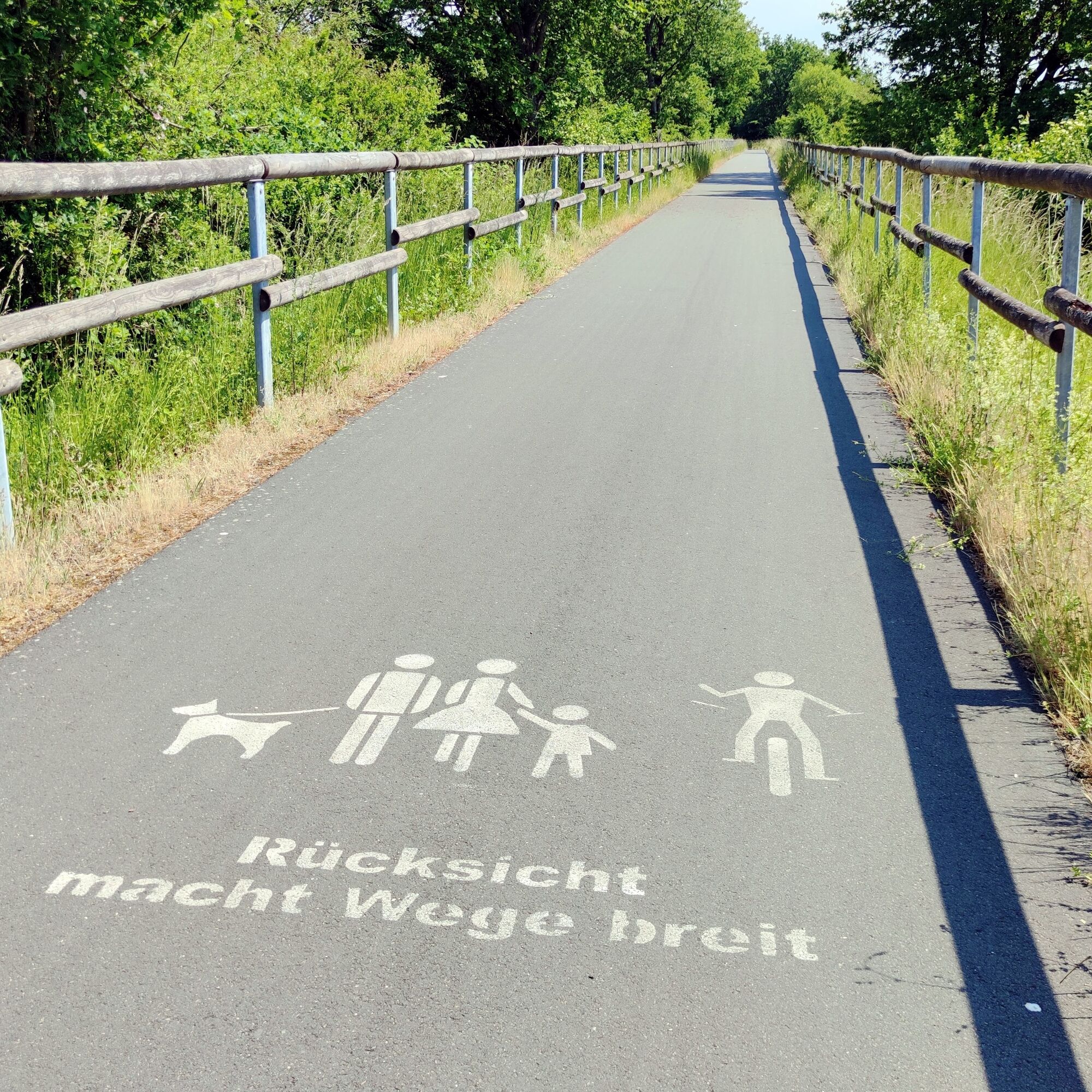
Wide views into the scenic landscape along the route and its river valleys alternate with idyllic towns. The lively half-timbered streets in Herborn and in the Goethe city of Wetzlar are recommended for longer stays. For a short rest, there are cozy and scenic resting places along the way. Numerous information boards of the Westerwald-Lahn-Taunus Geopark also make the route interesting for the curious. Distinctive sights and inviting gastronomy tempt detours.


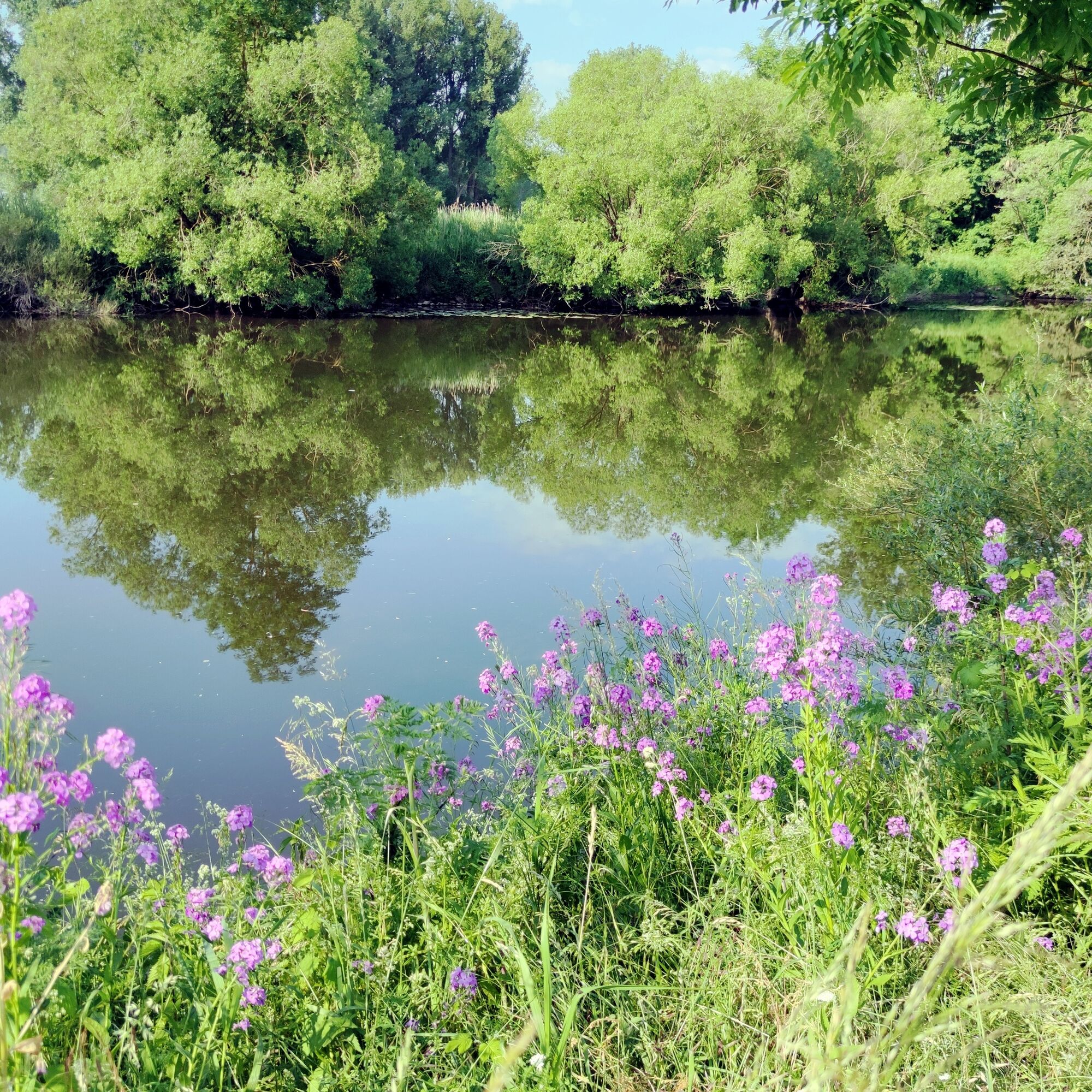
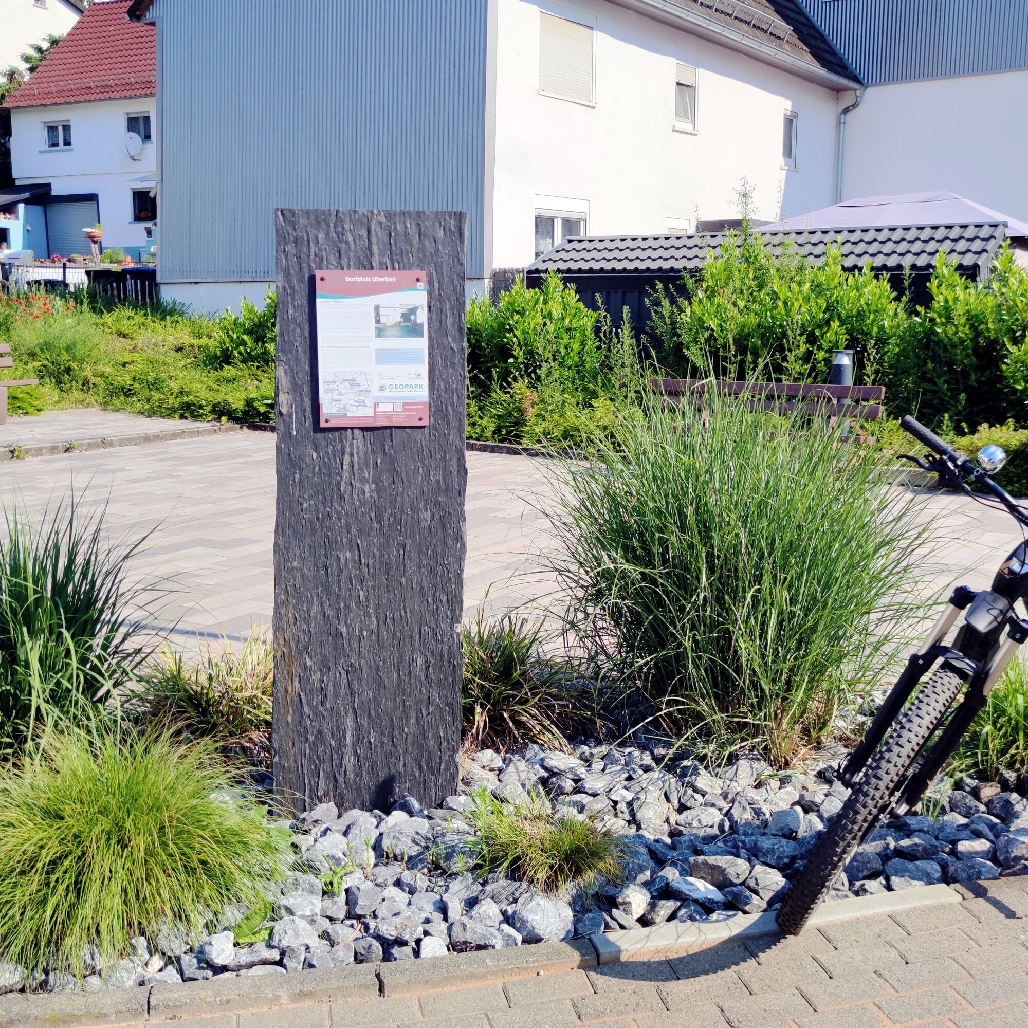


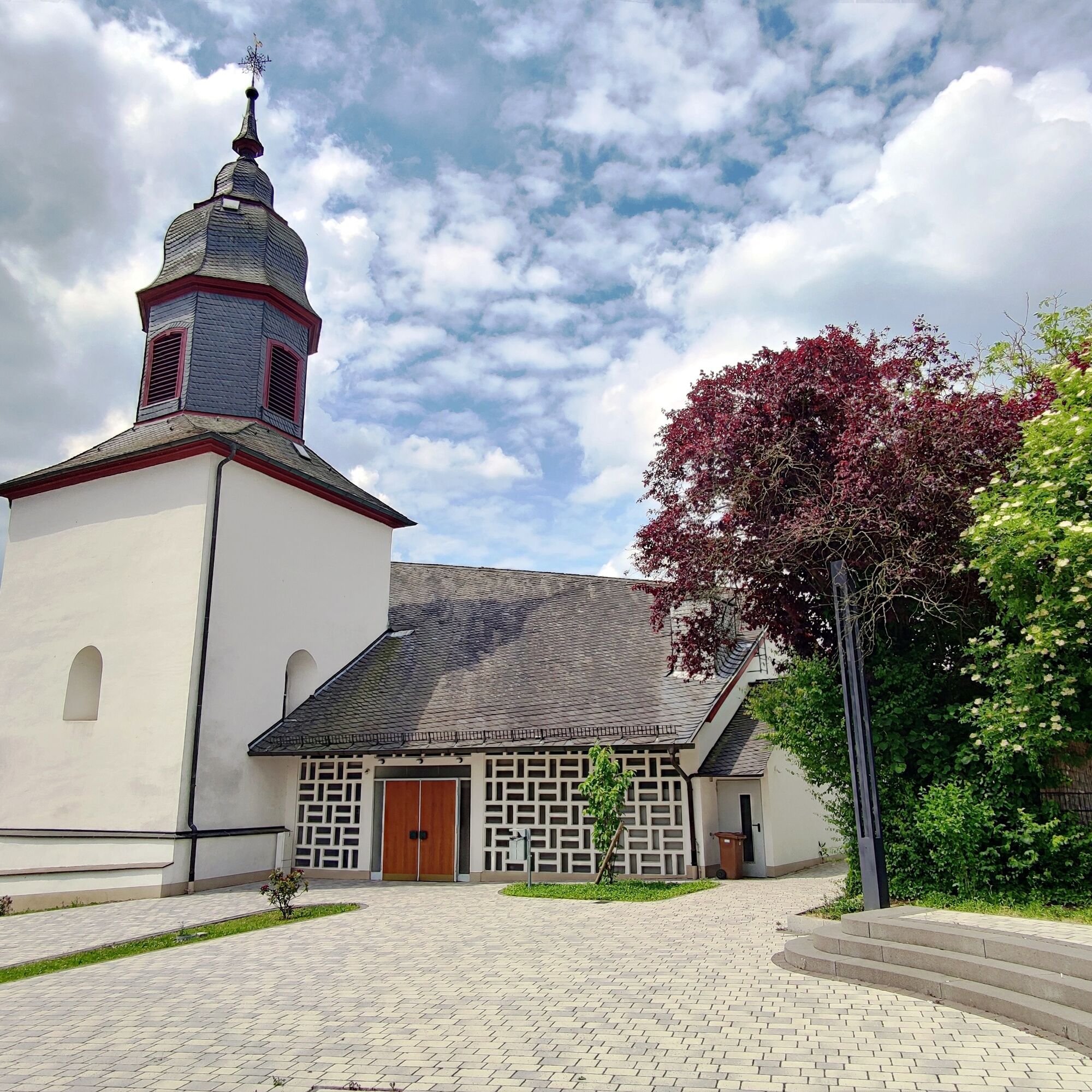
Our circular route starts in the Goethe city of Wetzlar and leads us leisurely downstream along the Lahn Cycle Path heading west. With a view of Altenberg Monastery, we reach Solms-Oberbiel. The monastery complex, built in the 12th century with its impressive Gothic monastery church, is worth a detour. The village square in Solms-Oberbiel offers a short rest with comfy benches and a view of the neat village church. A sign informs us about the geographical and historical center of the village.
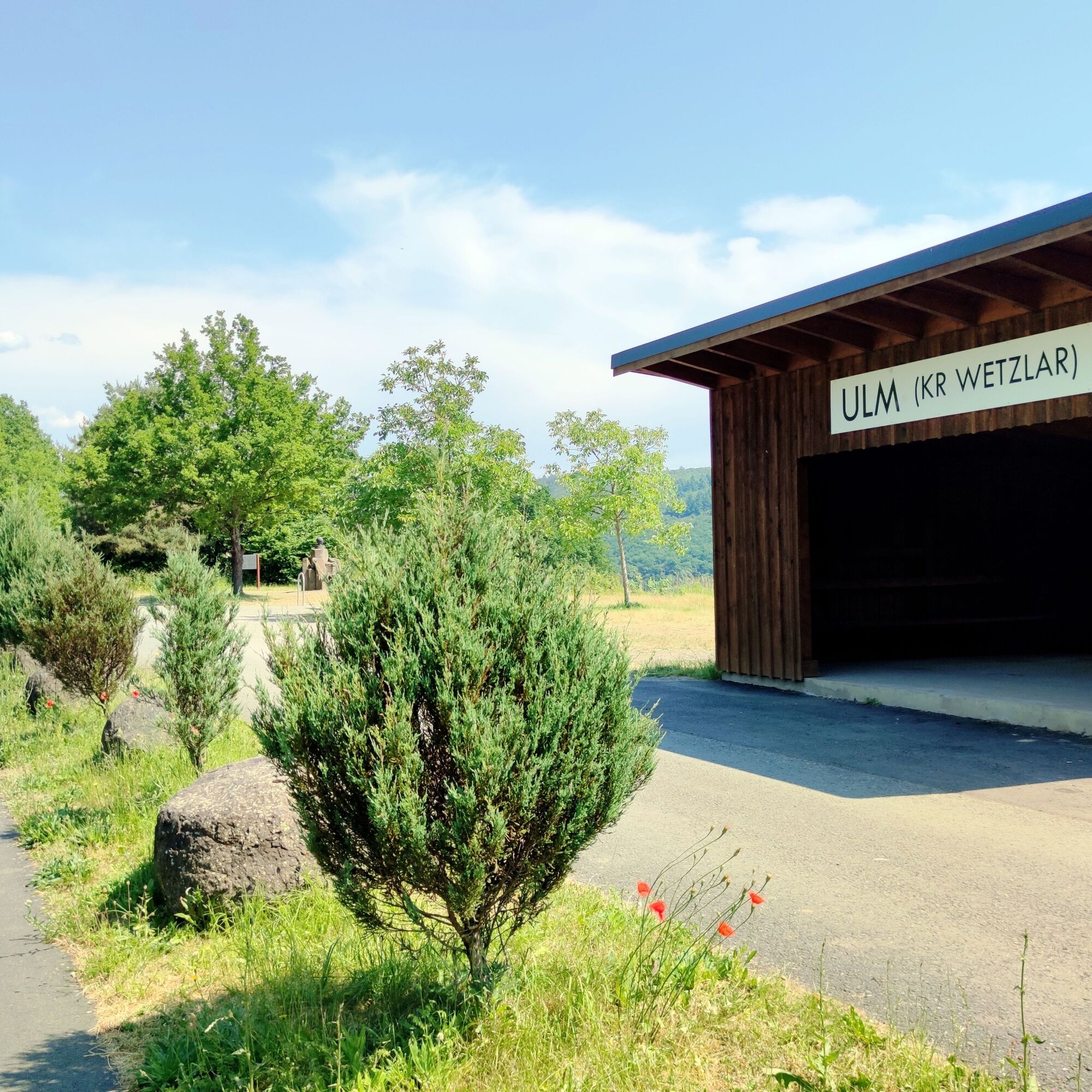
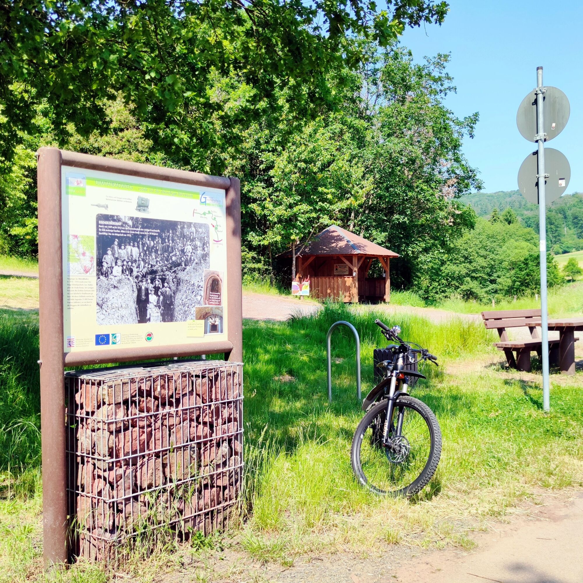
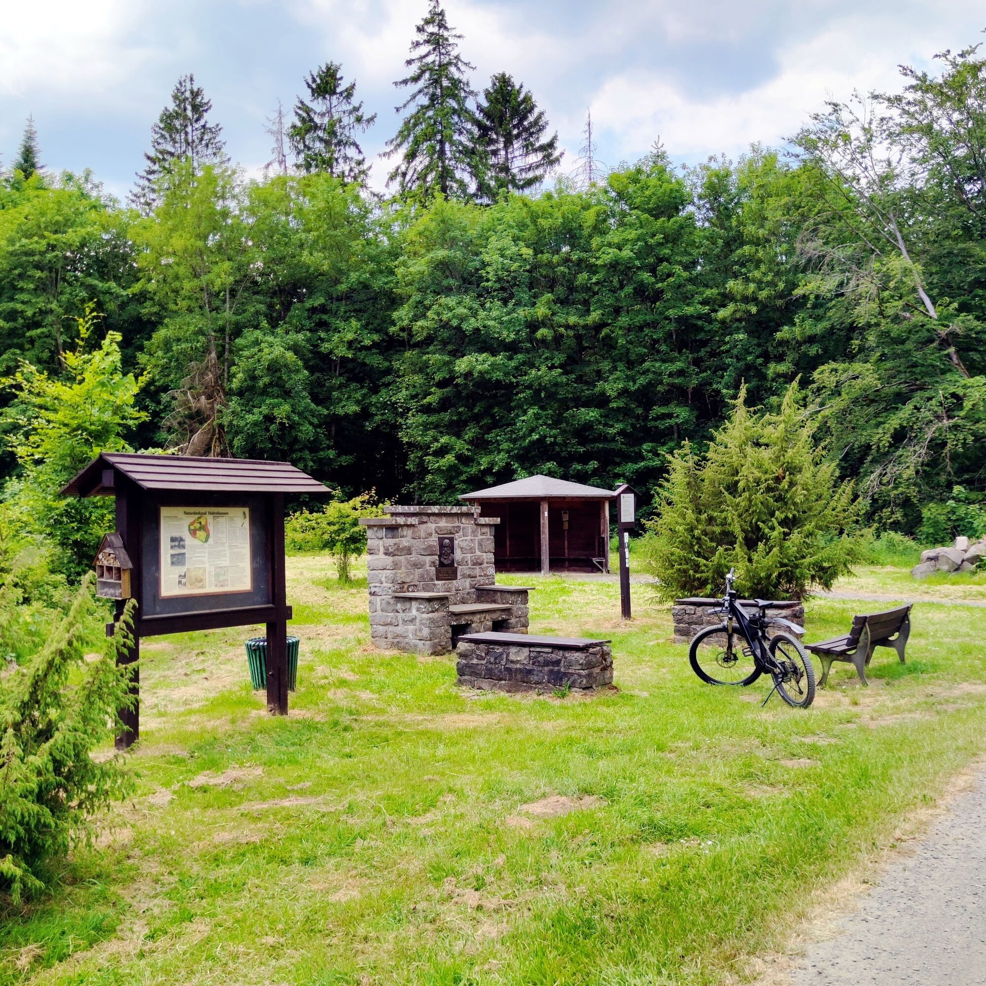
Over the Lahn and the railway line, we continue to Burgsolms. Almost at the edge of the path lies a small park with the Burgsolms Time Stone. Before Biskirchen, we cross the Lahn again and switch to the Ulmtal Cycle Path. At the Gertrudis Fountain, we refresh ourselves with real healing water, which is freshly and freely available from the fountain here. On the old track of the Ulmtal railway, we now cycle without great effort but steadily uphill into the Westerwald. Passing the Lahntal Outdoor Center, we reach the Old Ulm Station: a welcome resting opportunity with a view. The replica of the waiting hall of the former station also offers dry shelter in bad weather, and the Piscator Memorial catches our attention.
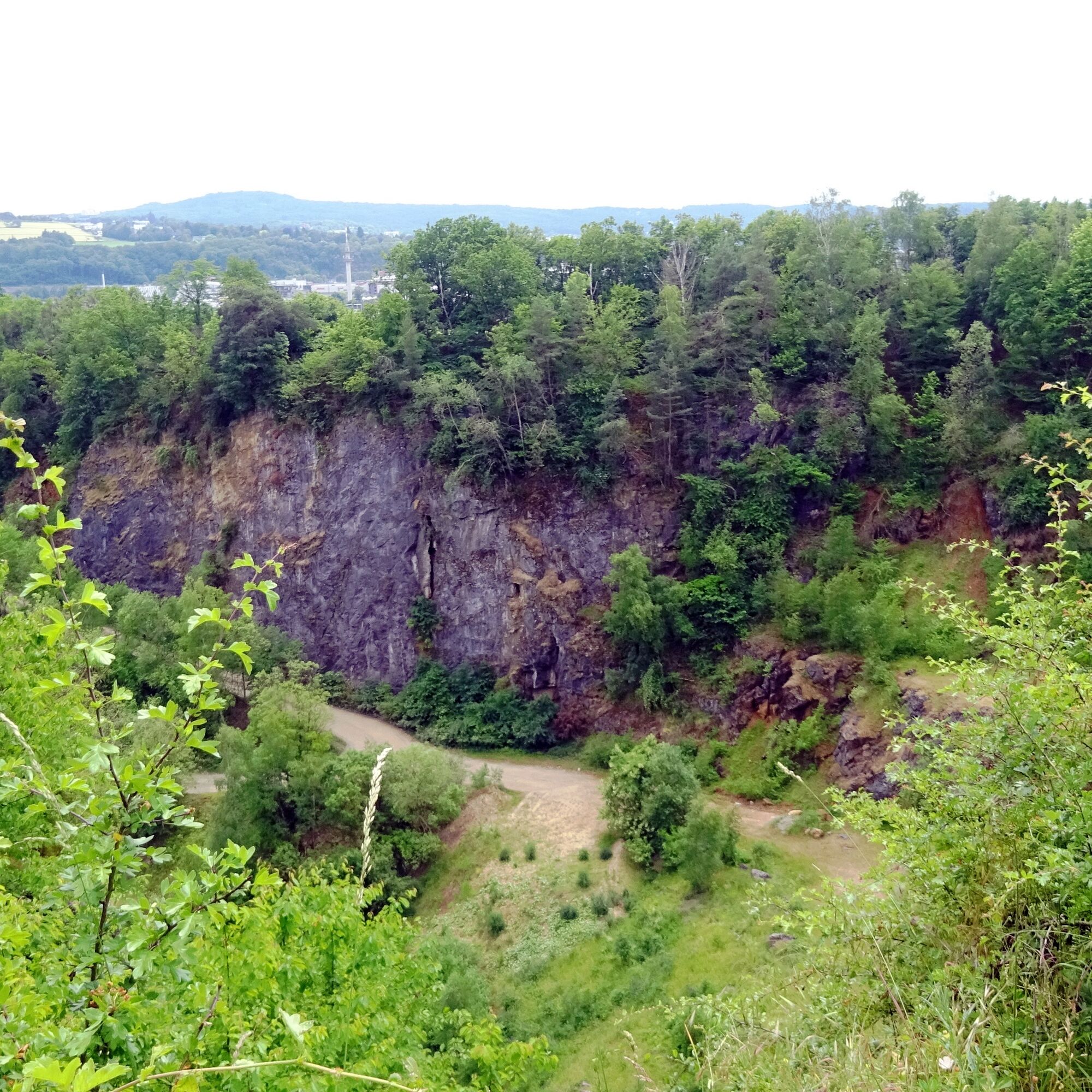
The incline remains moderate, and with beautiful views, we reach the former loading station Holzhausen on the old railway track. Here, clay was once loaded onto the train. The lovingly reconstructed tunnel entrance reminds us of this time. We enjoy the ride on the well-developed cycle path, pass Beilstein with the impressive basalt parkour, and finally reach another rest area near Haiern. Here we can treat our tired feet in the wading pool.
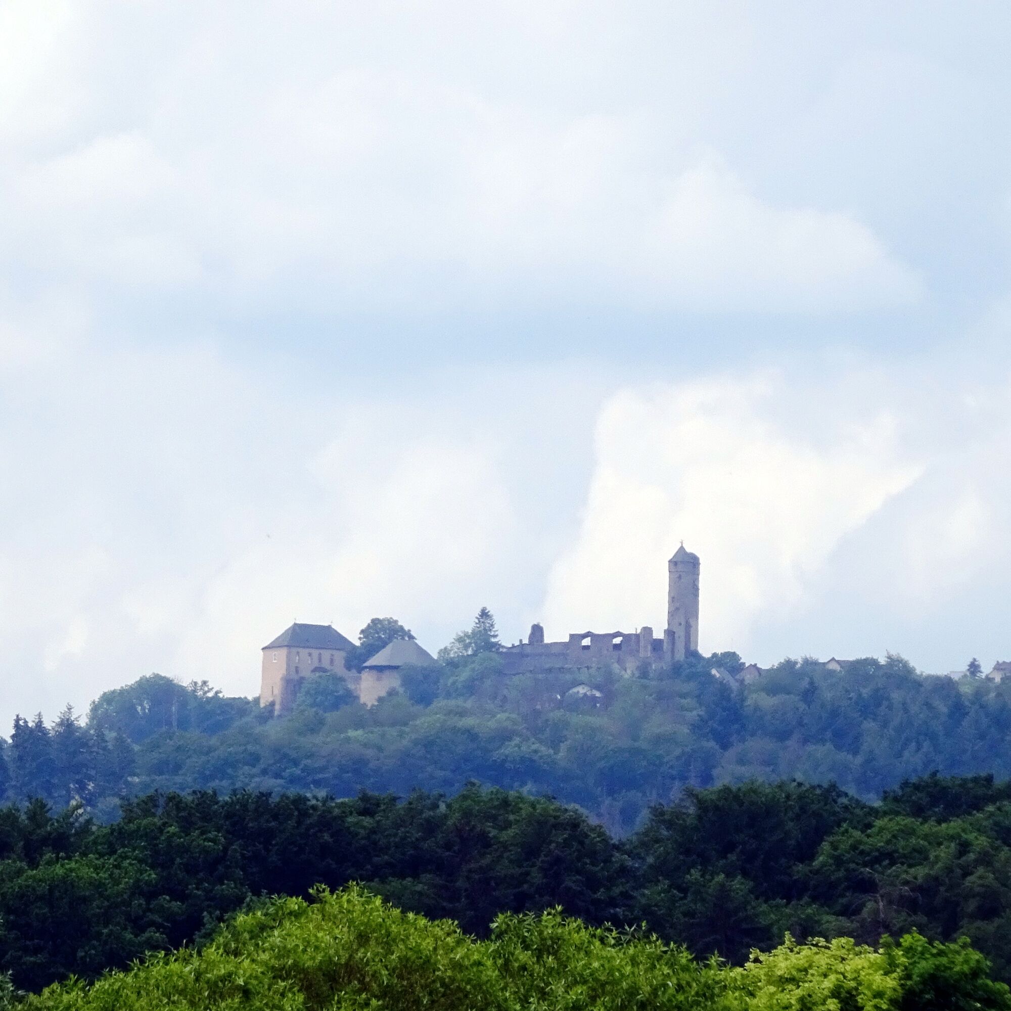
The Geopark Rail Route now leads us through the typical landscape of the high Westerwald. In the midst of wonderful nature, the Adolf Weiß Memorial greets us here. Adolf Weiß was the originator of the Westerwald identity call “Hui! Wäller?” – “Allemol!”. Here we are only about one kilometer from the over 600 m high peak of the Knoten. However, we follow the cycle path signage, which now leads us on a pleasant descent down to Mademühlen. With a view of the Driedorfer Lake, we finally reach Driedorf with the impressive ruin of the Junker’s Castle. Young cyclists also fully enjoy themselves on the nearby playground.
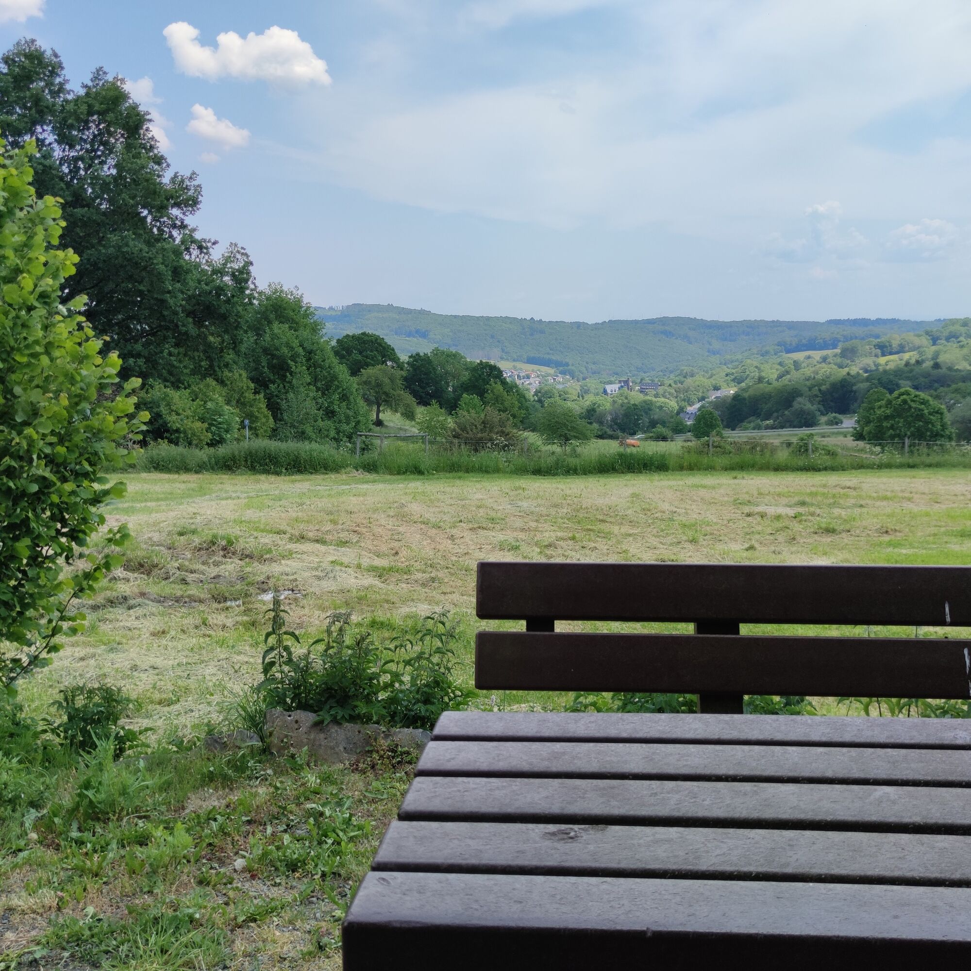
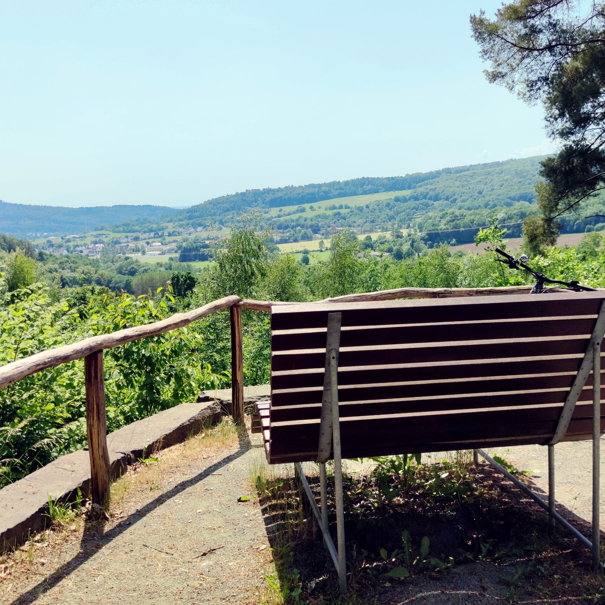
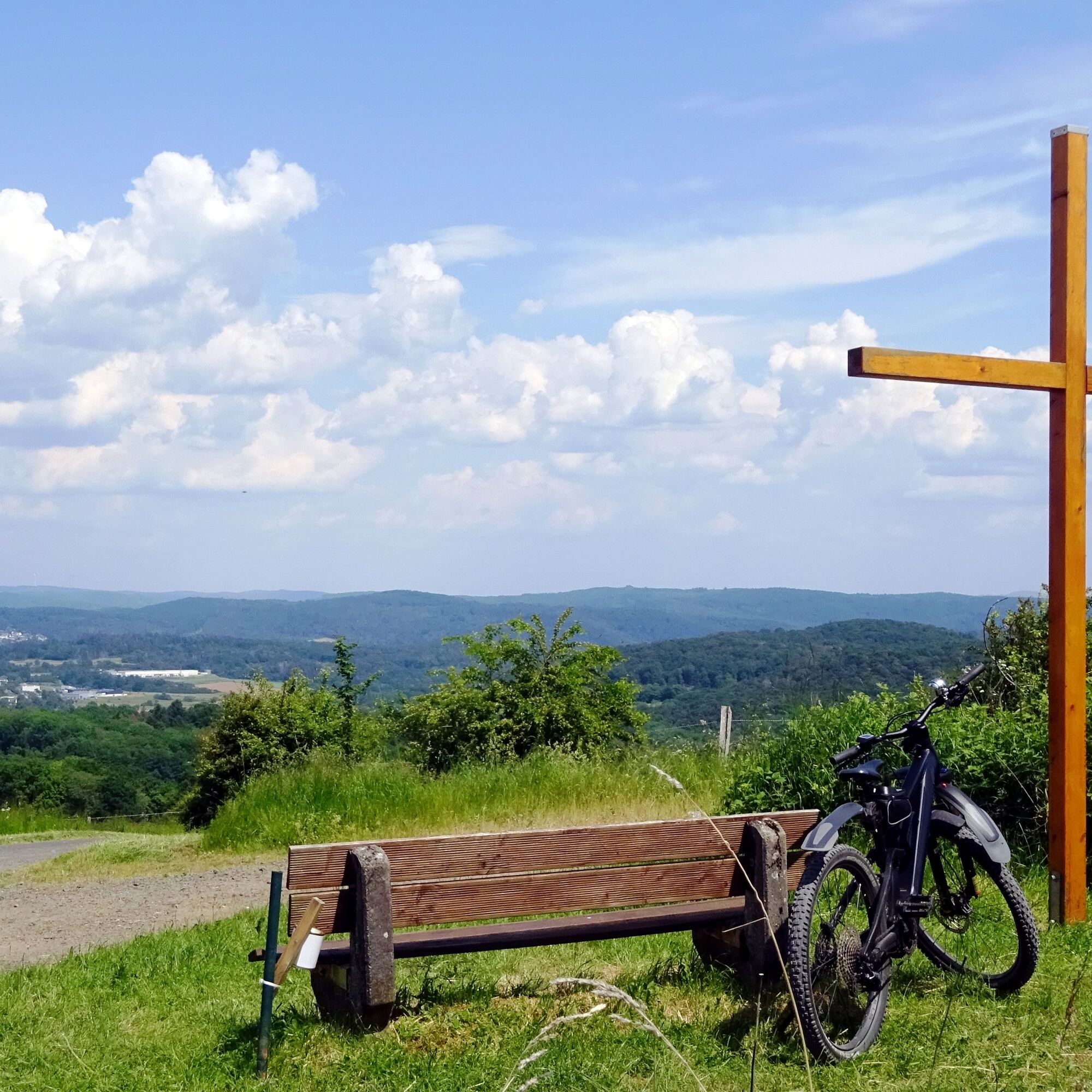
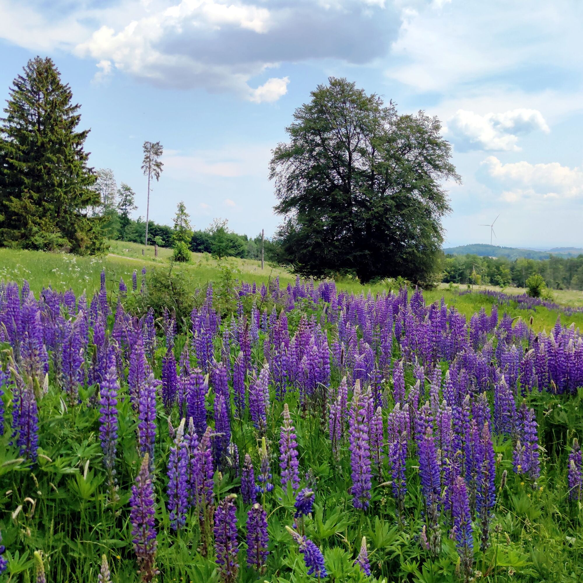
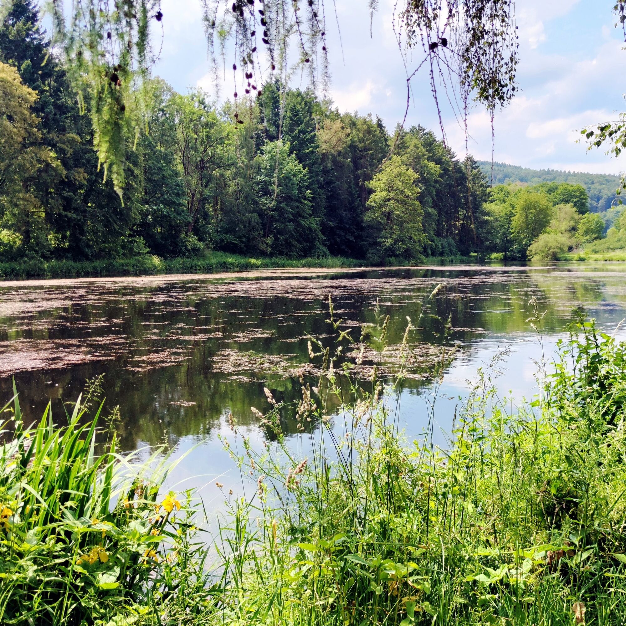
From Driedorf, we cycle along the idyllic Rehbach. We enjoy relaxing cycling on the old railway track and look interestedly at the information boards of the energy educational trail. A resting place with a wooden cross and a cozy bench offers us another wide view into the beautifully green hilly landscape and to Herborn. We roll gently downhill further to Schönbach. Here we are very close to the impressive Breitscheid Caves, which are always worth a detour.
Past Amdorf and Uckersdorf, we cycle through a tranquil valley to Burg, where we change to the Dilltal Cycle Path. Herborn, with its impressive old town, is another highlight on the rail route and a good alternative starting point. The historic marketplace, the castle, cafés, and numerous restaurants delight us. Half-timbering and slate are characteristic elements of the local building style.
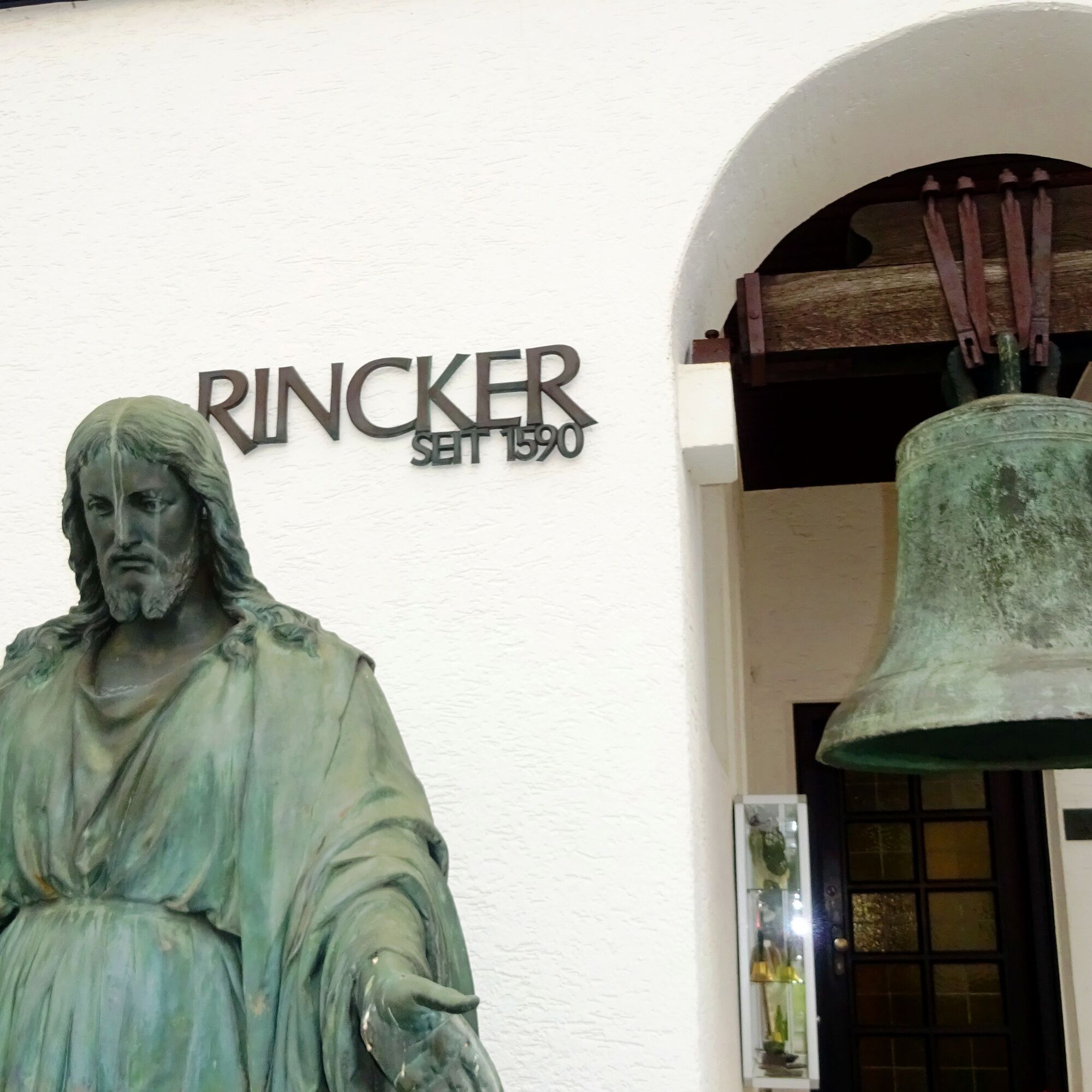
From Herborn, we happily roll through the wide floodplain landscape of the Dill valley to Sinn. Here the bell foundry offers interesting insights into the making of their bells. A guided tour is definitely worthwhile! Through the renaturalized Dill floodplains we continue and reach the small town of Werdorf via the villages of Edingen, Katzenfurt, Dillheim, and Ehringshausen, where we enjoy the beautifully designed village square and the castle. Now it’s only a few pedal strokes until we reach our starting point in Wetzlar again via Aßlar.
Áno
Áno
Trekking or touring bike (e-bike or conventional), spare tube and tools, water bottle, and weather-appropriate clothing.
The RB40, 41, 45, as well as the RE24, 25, stop in Wetzlar.
https://geopark-wlt.de/
You can comfortably take two days for this cycling round - Herborn and Wetzlar are suitable for overnight stays.
Obľúbené výlety v okolí
-
4,5
Wetzlar 3-Towers-Route
strednáTuristika 20,4 km -
5,0
Wetzlar 3-Towers-Route North
strednáTuristika 11,2 km -
Lahnwanderweg 11th stage upstream Braunfels - Wetzlar
ťažkéTuristika 13 km -
Lahnwanderweg 01-19 upstream (entire route, stage hike)
ťažkédiaľková pešia trasa 294,9 km -
DVV 8/10 km- Permanent Wetzlarer hiking trail Goetheweg with Grüngürtelweg
strednáTuristika 10,2 km -
MiningTrail Fortuna Mine
svetloTematická trasa 3,83 km -
Lahn hiking trail stage 11 Wetzlar – Braunfels
ťažkéTuristika 13,0 km -
Lahnwanderweg 01-19 (complete route, stage tour)
ťažkédiaľková pešia trasa 294,9 km -
Lahnwanderweg 12th stage Braunfels – Weilburg
strednáTuristika 17,9 km -
1,5
Lahnwanderweg 12th stage upstream Weilburg - Braunfels
strednáTuristika 17,9 km
Turistika a stopovanie


Nenechajte si ujsť ponuky a inšpiráciu na ďalšiu dovolenku
Vaša e-mailová adresa bol pridaný do poštového zoznamu.