


Bergfriedhütte - Steinkopf


The Steinkopf, a picturesque lookout mountain including panoramic views of Carinthia's most water-rich lake. A short mountain route with a great opportunity to stop at the terrace of the Bergfriedhütte with lake view.

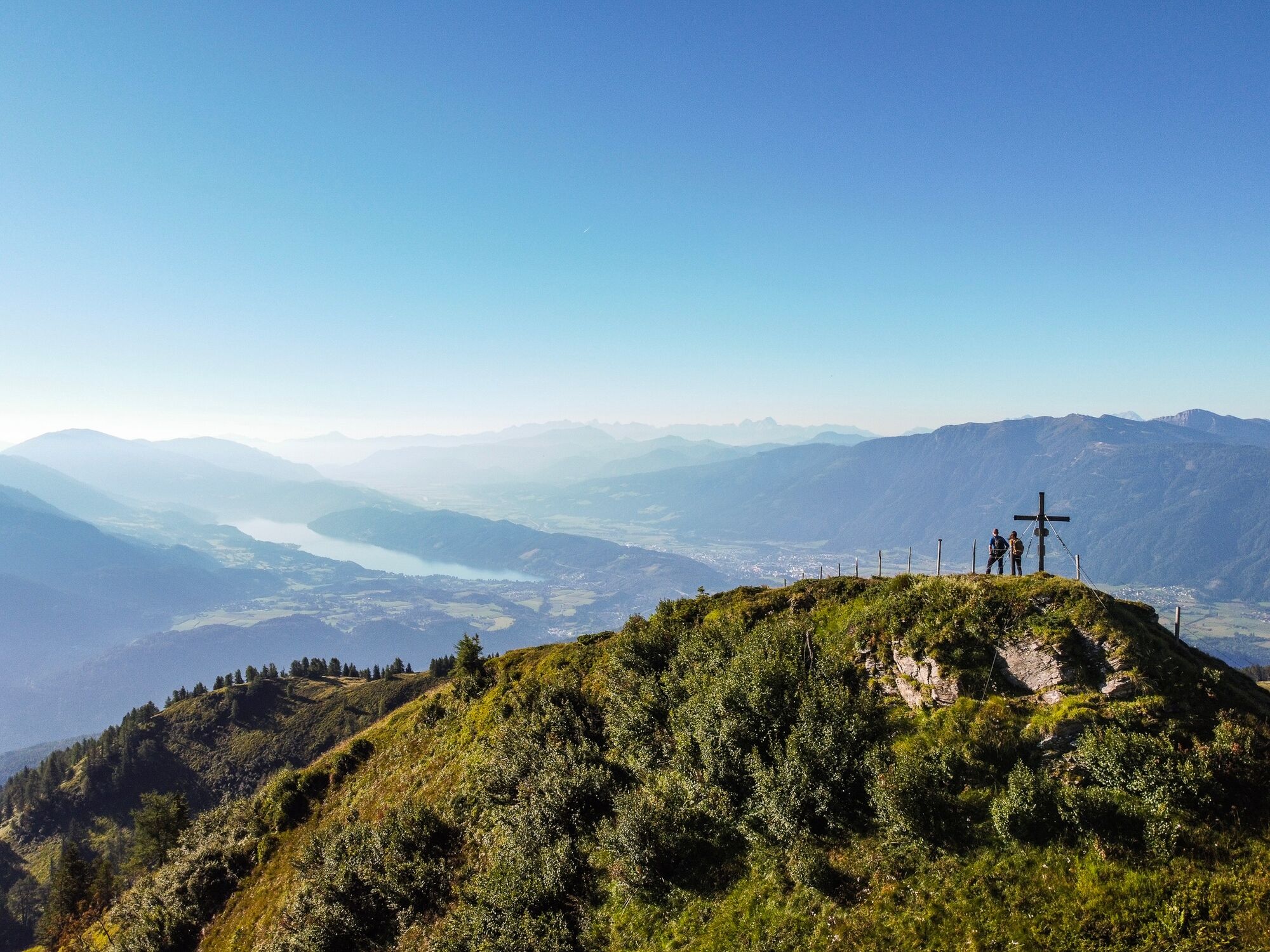

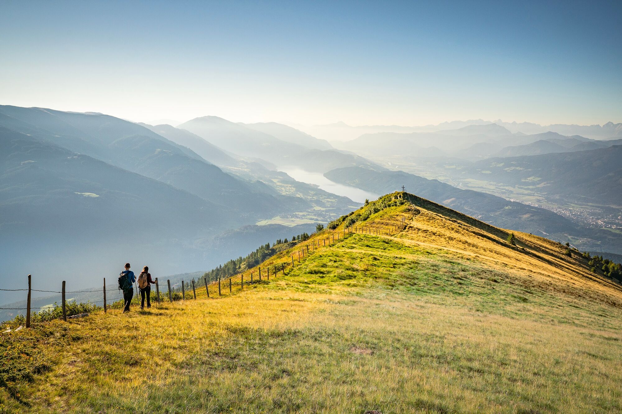
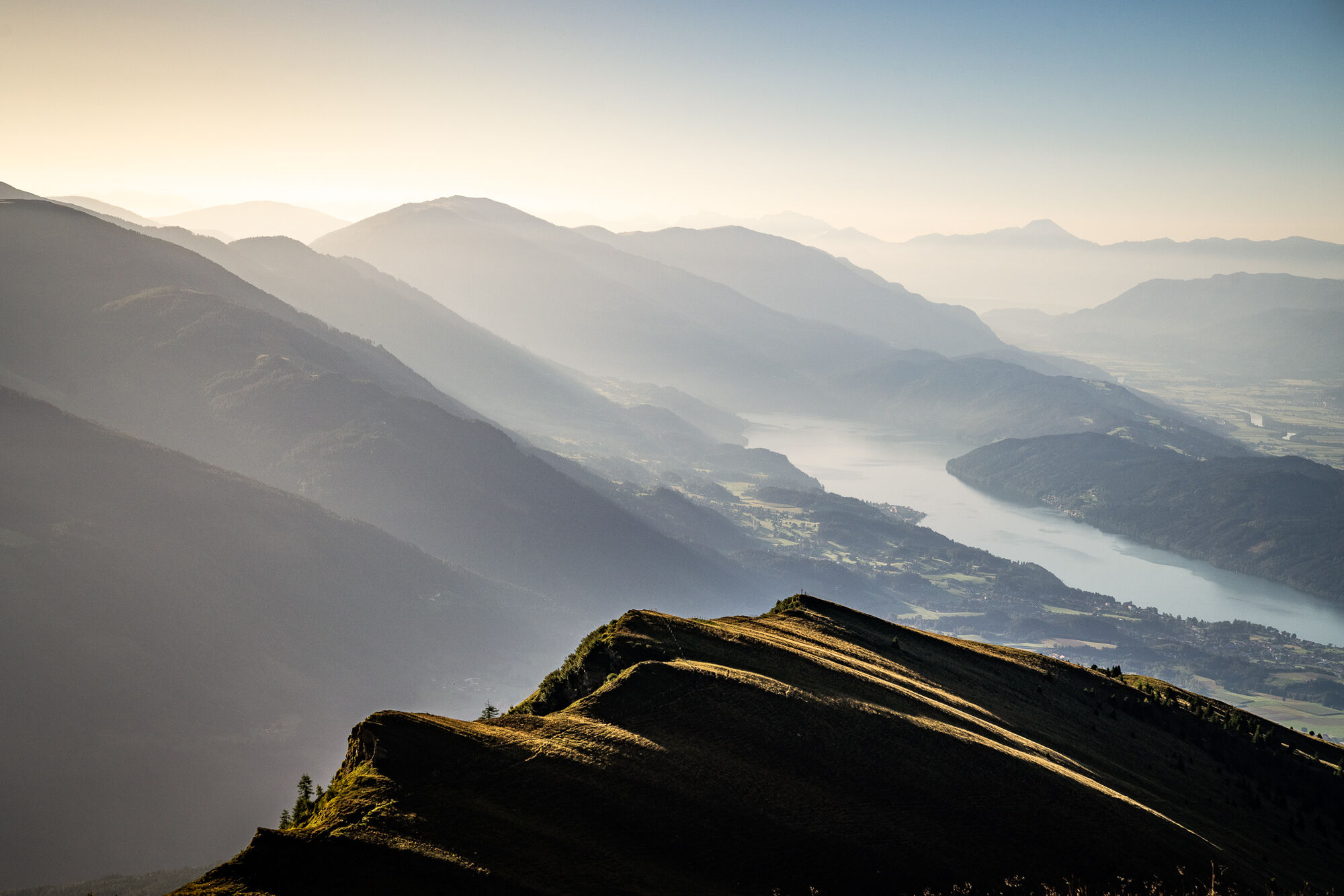
From the Bergfriedhütte, the path leads towards the Gmeineck to the Altersberger Halterhütte at the end of the alpine road. From there, keep left and follow the red markers to the summit cross of the Steinkopf. From the summit, Lake Millstatt lies at your feet.
Áno
Áno
Áno
Sturdy and well-broken-in footwear, functional clothing, sun and rain protection, and sufficient provisions.
The Bergfriedhütte is accessible by car from Trebesing via a toll alpine road. Here is the Google Maps route description.
Toll: Please have €6,- ready in coins (€2,- and €1,-). No change function available.
The Bergfriedhütte is not accessible by public transport.
Free parking spaces are available directly in front of the Bergfriedhütte.
More information about the Bergfriedhütte can be found here.
The Steinkopf can also be taken as a detour after a hike to the Gmeineck.
Obľúbené výlety v okolí
-
4,7
Lammersdorfer Hütte, Granattor Runde
svetloTuristika 9,85 km -
4,8
Mühldorfer Alm - Kleiner Salzkofel
strednáTuristika 11,6 km -
4,3
Sonnwiesen loop trail
strednáTuristika 4,67 km -
4,3
Rundwanderung Millstätter Alpe
strednáTuristika 15,8 km -
5,0
Bella Vista auf Hohe Leier
strednáVia ferrata 15,6 km -
5,0
Ski tour Goldeck from Seetal
svetloSkitour 2,52 km -
4,9
Family bike ride along the bike path R9B Gmünd - Maltatal
strednáCyklistika 33,8 km -
4,7
Böse Nase | Gurglitzen, 9. Juni 2019 Lurnfeld, Österreich
strednáTuristika 8,51 km -
4,8
Enzian-Granatsteig & Almbrunn Steig
svetloTuristika 8 km -
4,6
Millstätter See cycle track
strednáCyklistika 27,7 km
Turistika a stopovanie


Nenechajte si ujsť ponuky a inšpiráciu na ďalšiu dovolenku
Vaša e-mailová adresa bol pridaný do poštového zoznamu.