


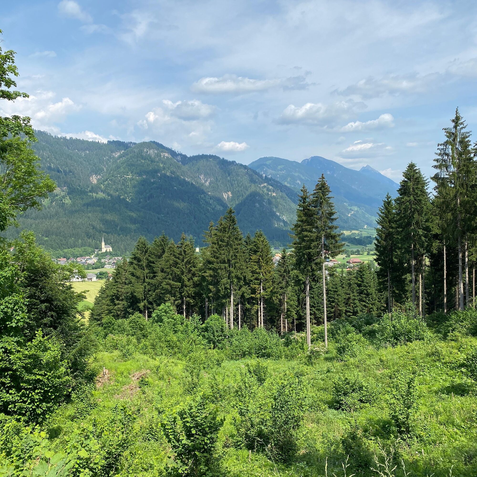
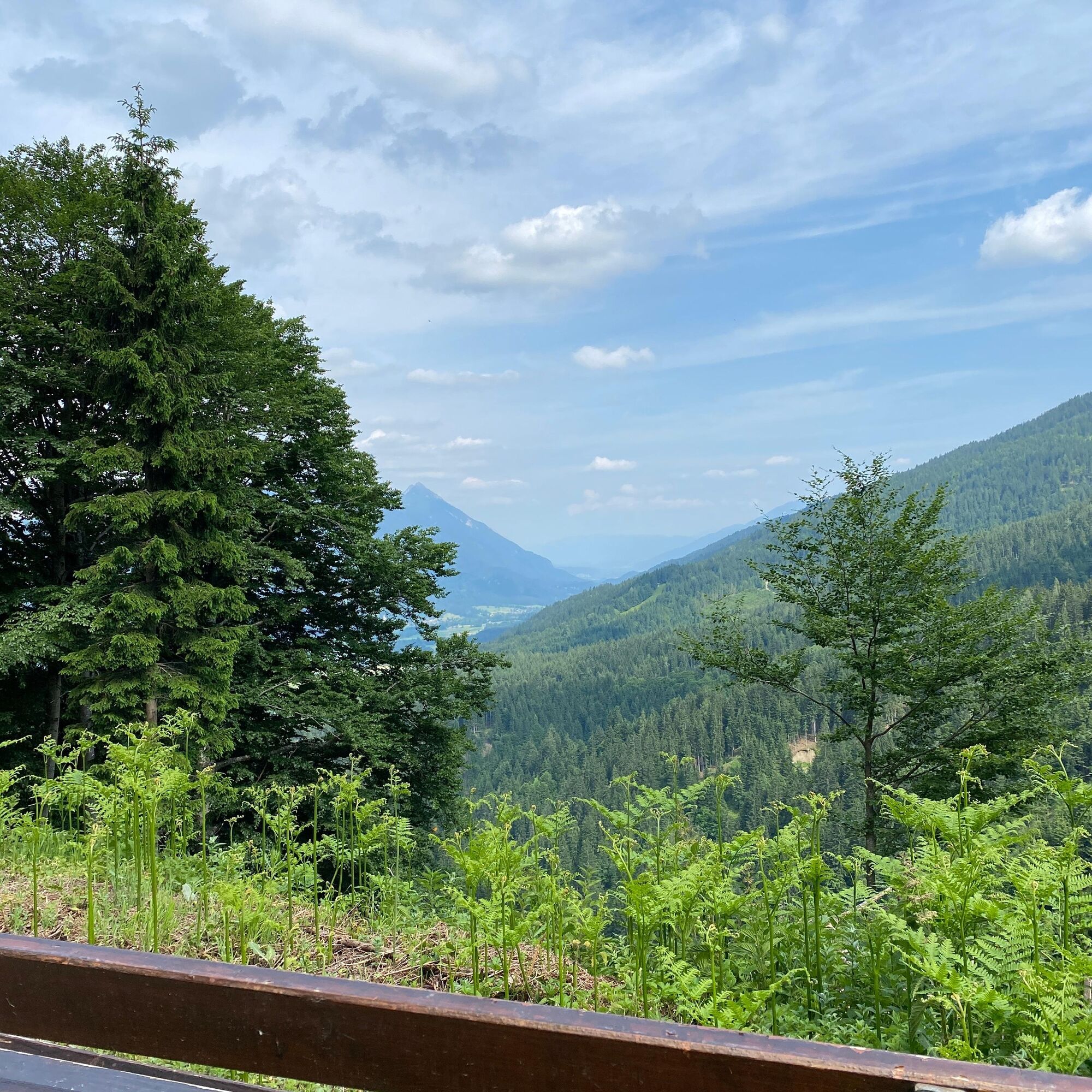
WW_N4 Möselalm


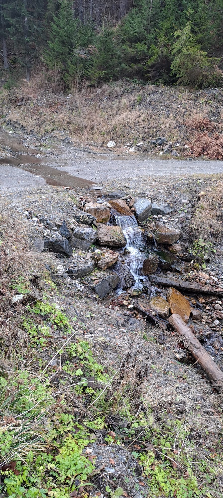
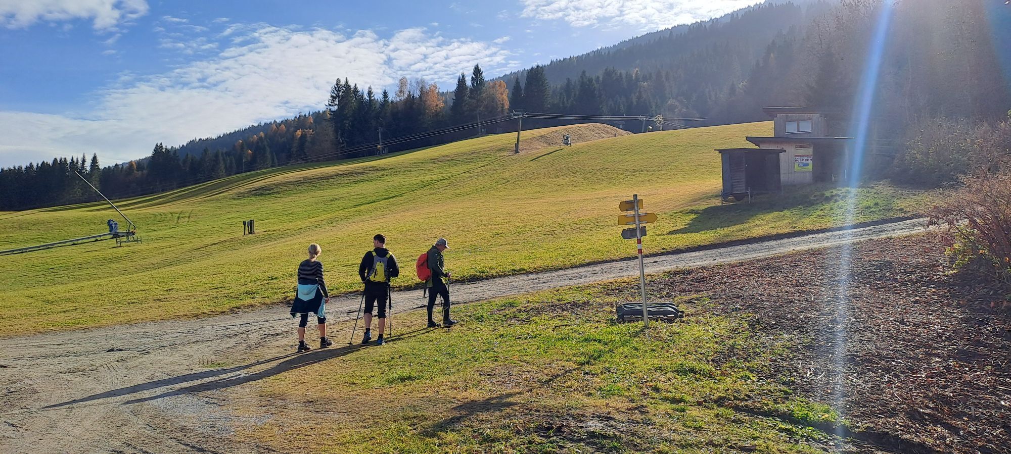

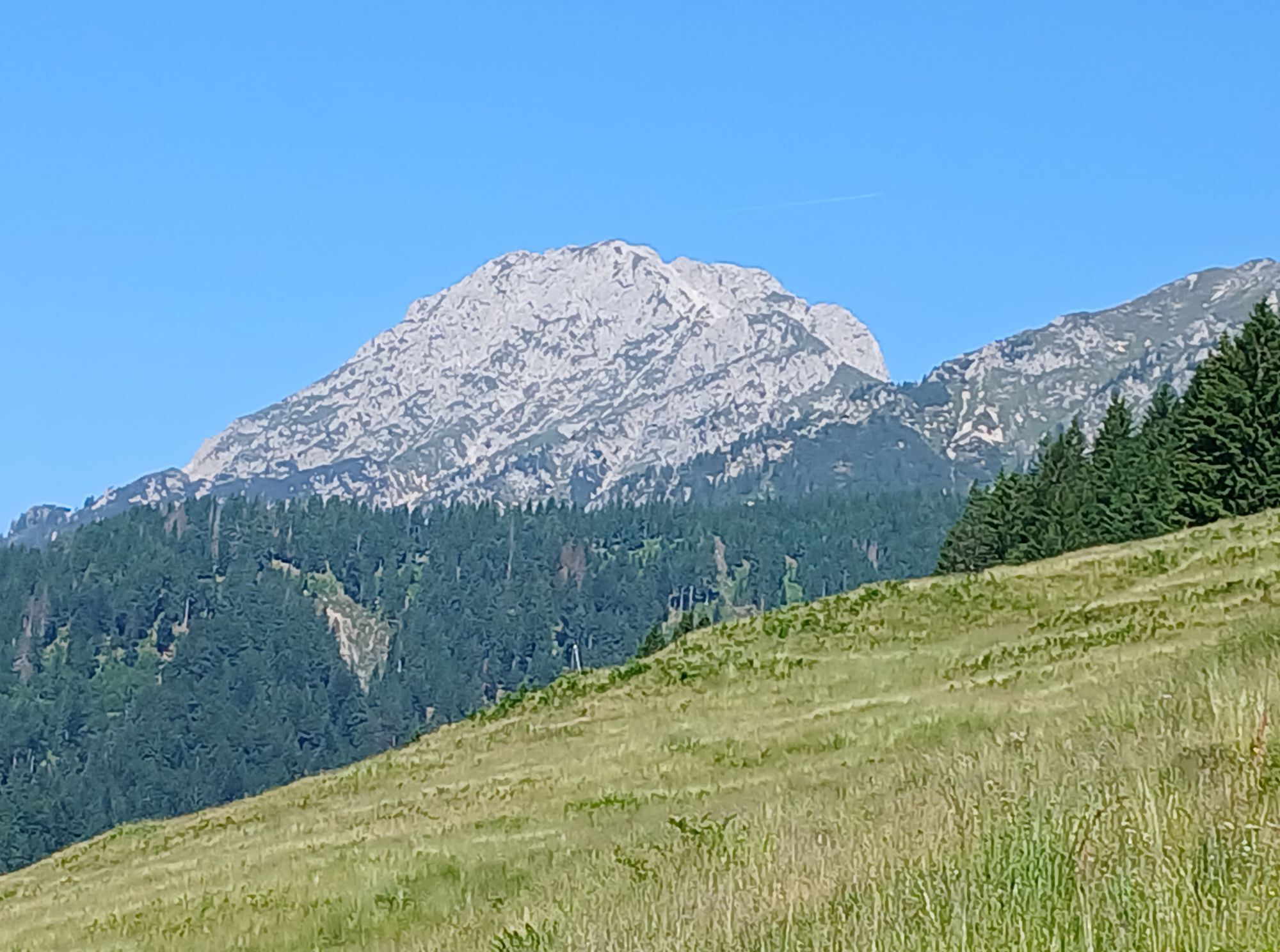
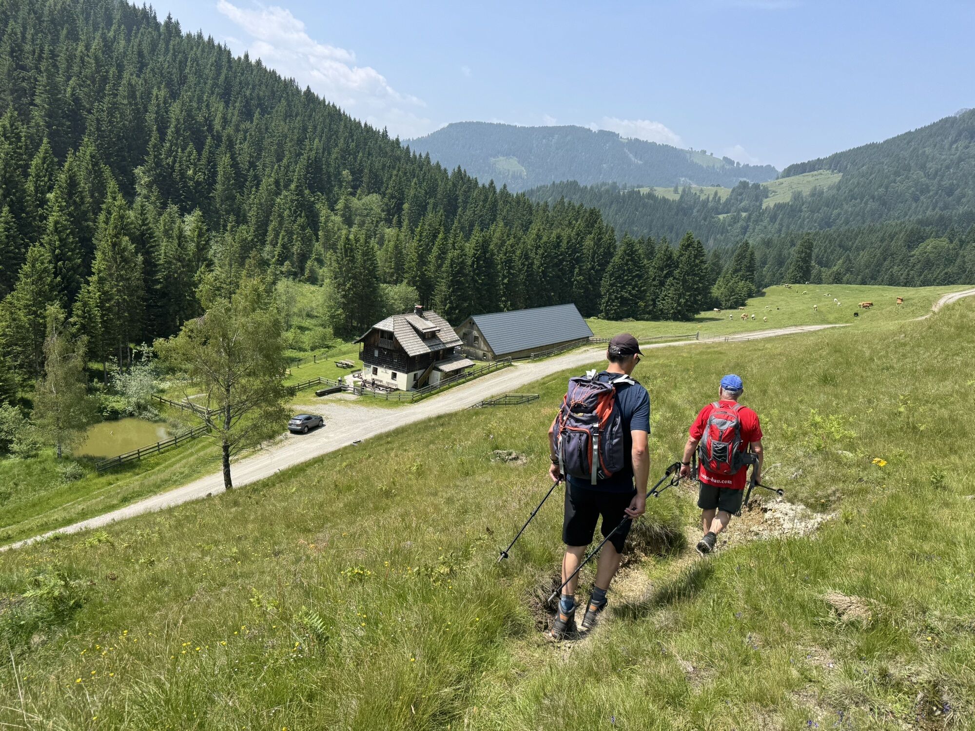
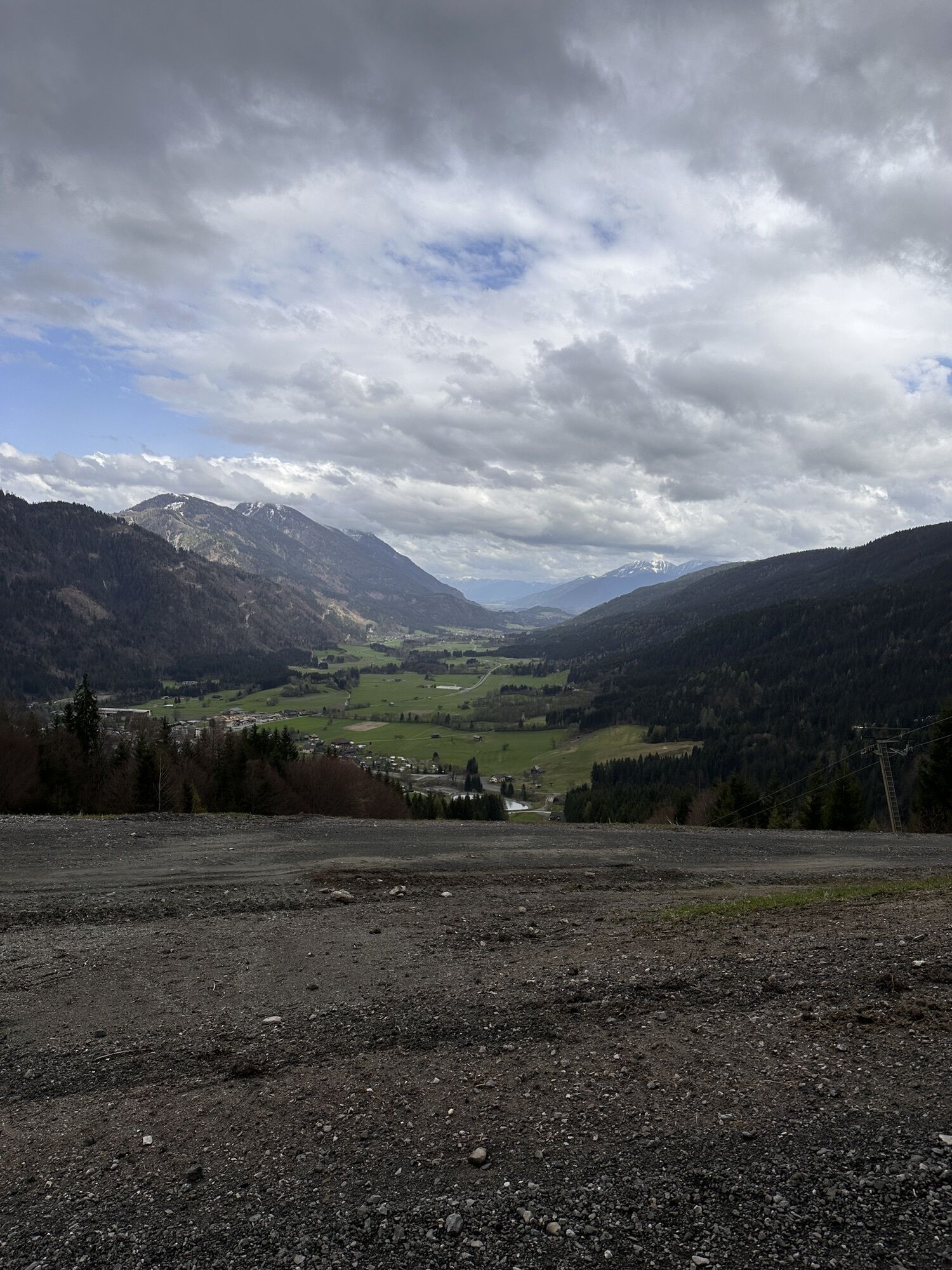
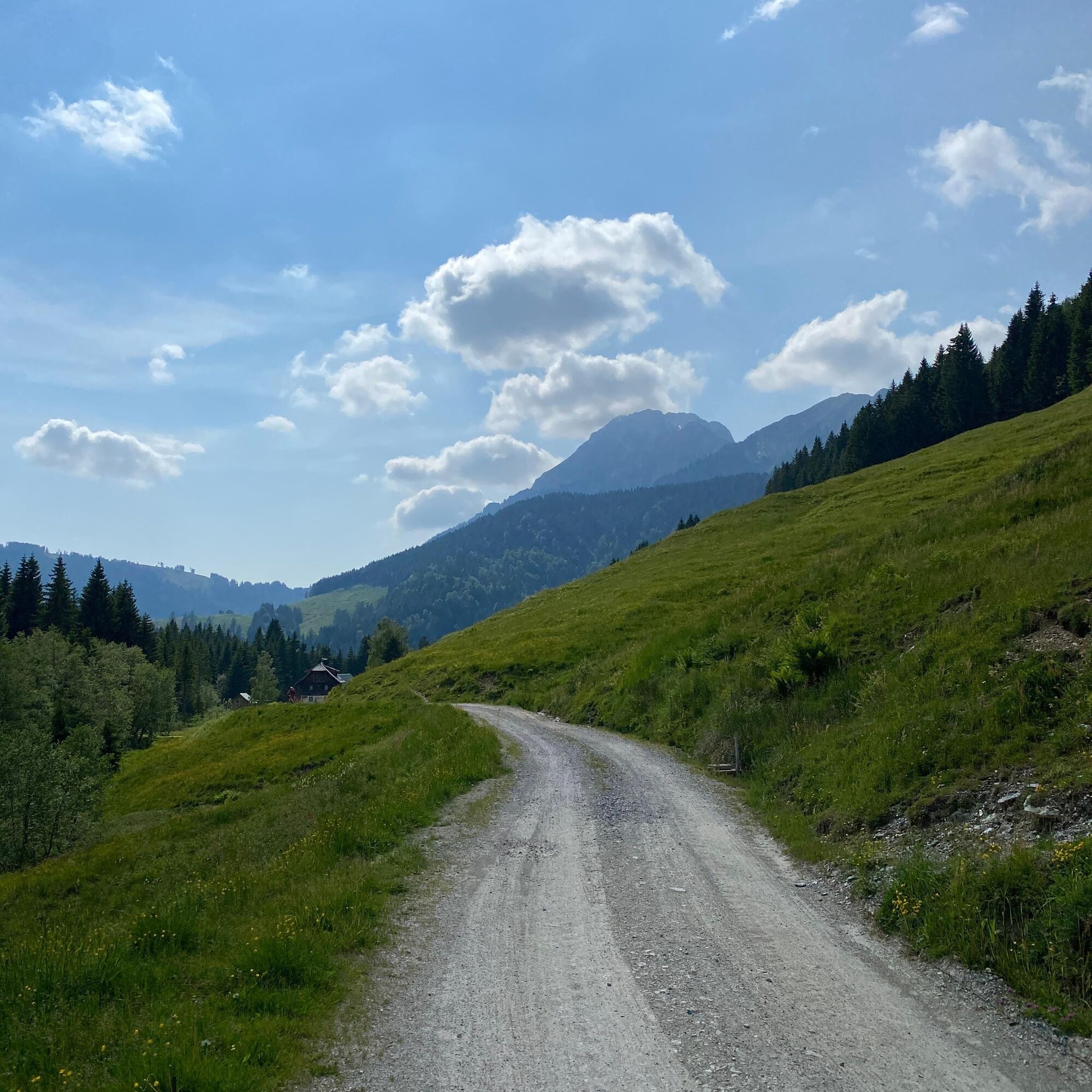
From the Hammerbodenlift parking lot along the forest road, passing below the mountain hut (1h) to Möselalm (serviced).
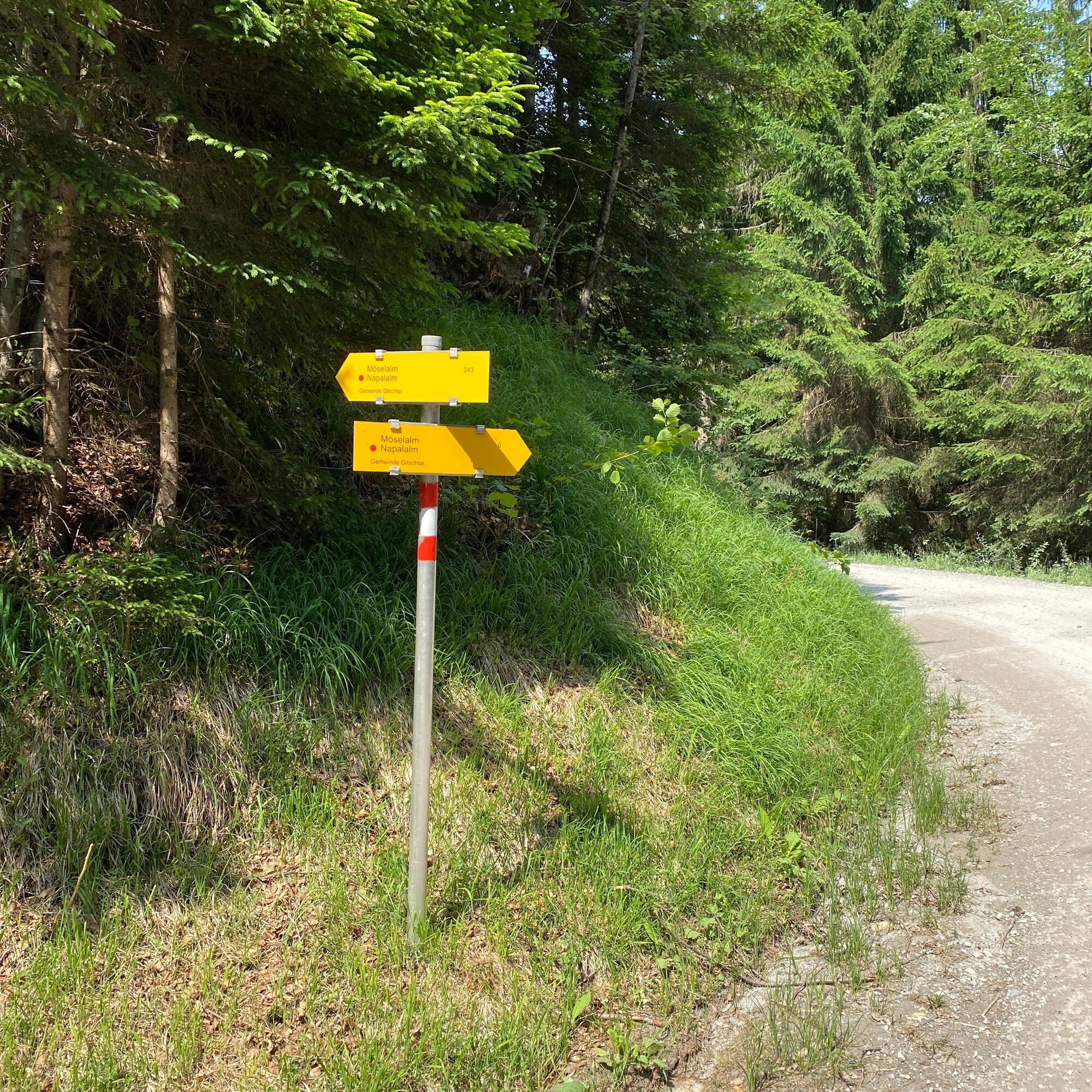
Variant: the marked trail 243 branches off repeatedly from the forest road.

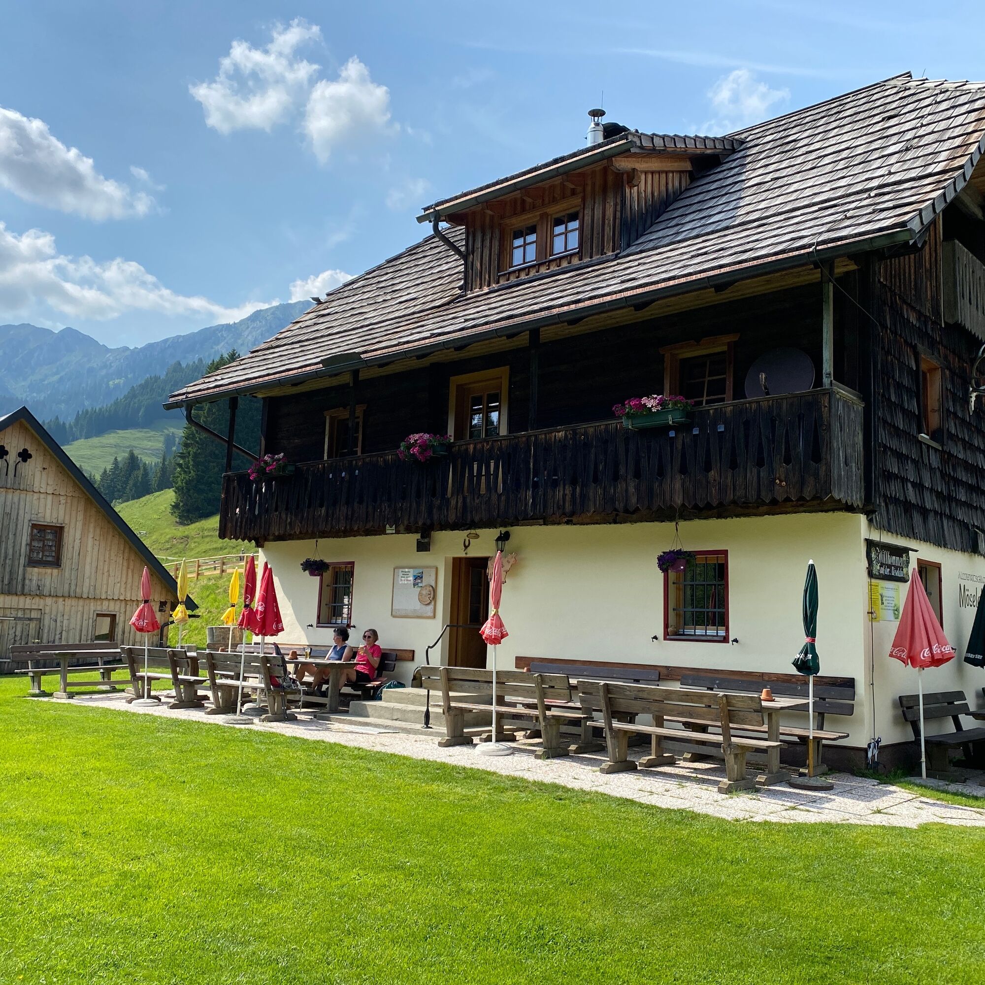

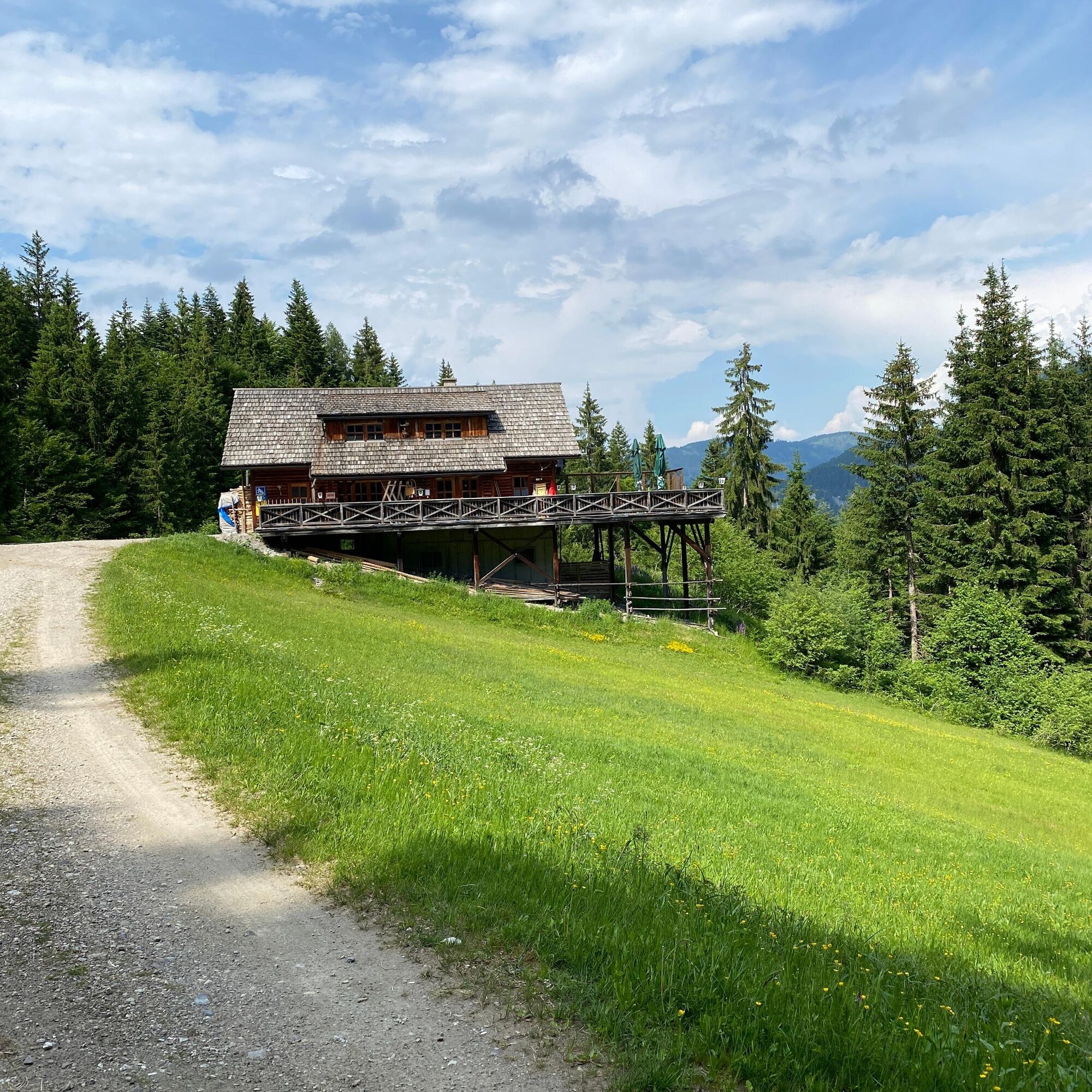
From the Hammerbodenlift parking lot along the forest road, passing below the mountain hut (1h) to Möselalm (serviced).
Variant: the marked trail 243 branches off repeatedly from the forest road.
Áno
FAIR PLAY & RESPECT:
Mindfulness for nature – landowners – your health... and safety in the mountains have the highest priority on your route and the related planning!
Therefore, always check the rules of conduct before every hike - Safety in the Mountains - as well as the current weather situation.
Waste disposal:
Waste is not always avoidable – but it has no place in nature and must be properly disposed of (preferably in the valley or at home).
Emergency numbers:
European emergency number: 112 (access to any available network)
Austrian Alpine emergency: 140
By car
From the north (D, NL, DK):
- Tauern motorway – Spittal junction - direction Lienz - Greifenburg - over the Kreuzberg – Weißbriach
- Salzburg - Bad Gastein (train loading Tauern lock) - Mallnitz - Möllbrücke - Greifenburg - over the Kreuzberg – Weißbriach
From the west (CH, F):
- Felbertauern - Mittersill - Lienz - Greifenburg - over the Kreuzberg - Weißbriach
From the south (I, SLO):
- Udine - Hermagor/Gailtal exit - Hermagor - Weißbriach
- Karawanken motorway - Villach junction - direction Italy - Hermagor/Gailtal exit - Hermagor - Weißbriach
From the east (SLO, HR):
- Klagenfurt – Villach - Hermagor/Gailtal exit - Hermagor - Weißbriach
By plane
The nearest airport is located in Klagenfurt.
Airport transfers via Gitschtalreisen Wastian and Mobilbüro Hermagor are possible.
From Villach, take the train to Hermagor. From there, bus line 5066 runs to Weißbriach.
Weißbriach cable cars
Are you looking for hiking tips in the region as well as a certified guide for a guided mountain hike?
You can find this and many other information at - Tour tips and provider info
In Weißbriach there are year-round open dining options - details under Service A-Z.
In summer, there is a mountain hut breakfast once a week at the mountain hut. Registration and further information at Hotel Löffele, T 04286 228.
The Möselalm path corresponds to path number 6 on the Gitschtal hiking map
Obľúbené výlety v okolí
-
4,9
W10 - Large lake round - Weissensee
ťažkéMountainbike 31,5 km -
4,9
Weissensee Ost- nach Westufer
svetloTuristika 10,2 km -
4,8
Slow Trail Weissensee
strednáTuristika 6,69 km -
5,0
RW_N9 Weißenbachklamm
ťažkéTuristika 8,16 km -
4,0
Emberger Alm - Hochtristen
strednáTuristika 9,50 km -
4,6
W5 - Naggler Alm Round Weissensee
strednáMountainbike 15,8 km -
4,5
Bergstation Weißensee bis Golz
strednáTuristika 14,8 km -
4,8
Drau Cycle Path R1
svetloCyklistika 75,9 km -
3,0
Hermagor: Gartnerkofel
Turistika 7,70 km -
5,0
Weissensee Steinwandpfad
strednáTuristika 9,10 km
Turistika a stopovanie


Nenechajte si ujsť ponuky a inšpiráciu na ďalšiu dovolenku
Vaša e-mailová adresa bol pridaný do poštového zoznamu.