


Sonnblick above the Fleißtal


Fotografie našich používateľov
-

 © PhilVytvorené dňa 21.09.2025
 -
 © PhilVytvorené dňa 21.09.2025
 -
 © PhilVytvorené dňa 21.09.2025
 -
 © PhilVytvorené dňa 20.09.2025
 -
 © PhilVytvorené dňa 20.09.2025
 -
 © Andre' RobitschVytvorené dňa 12.08.2025
 -
 © Andre' RobitschVytvorené dňa 12.08.2025
 -

 © JPseinesVytvorené dňa 26.08.2025
 -
 © JPseinesVytvorené dňa 26.08.2025
 -
 © JPseinesVytvorené dňa 26.08.2025
 -
 © JPseinesVytvorené dňa 26.08.2025
 -
 © JPseinesVytvorené dňa 26.08.2025
 -
 © JPseinesVytvorené dňa 26.08.2025
 -
 © thschoeVytvorené dňa 28.08.2024
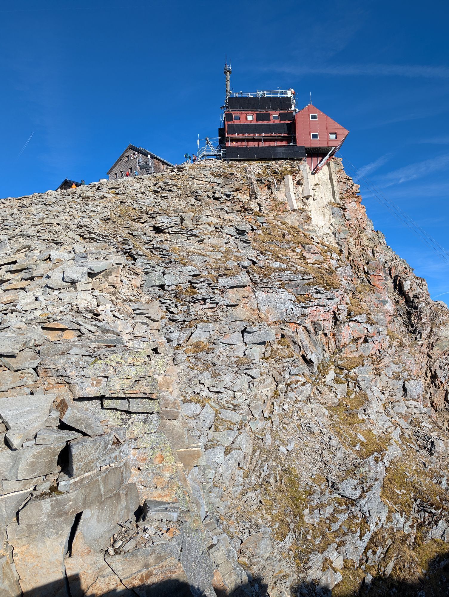


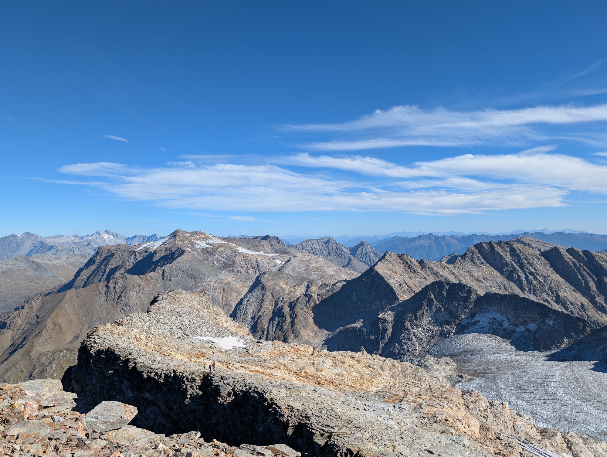

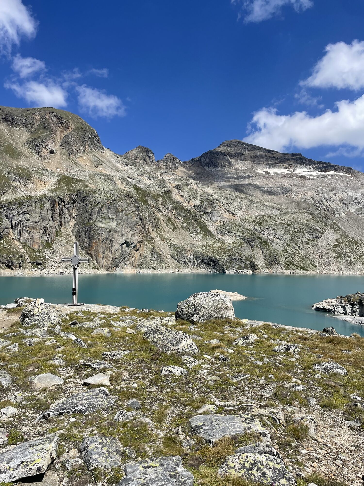
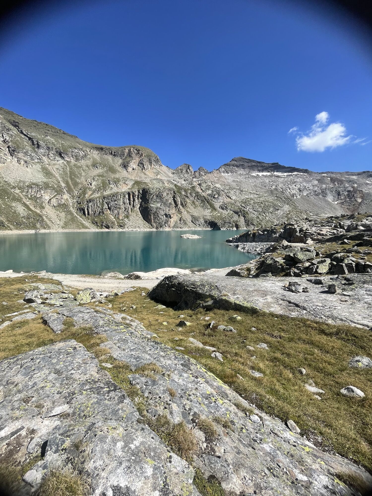
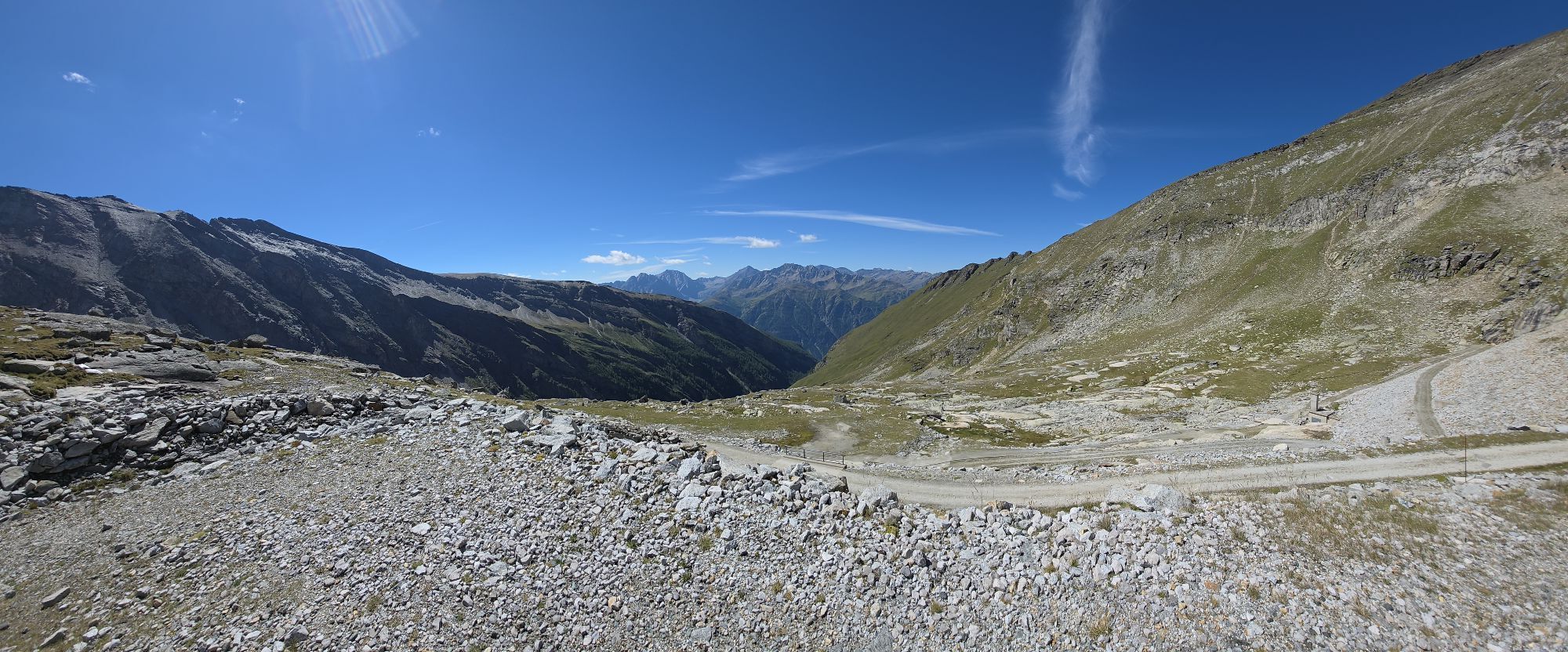
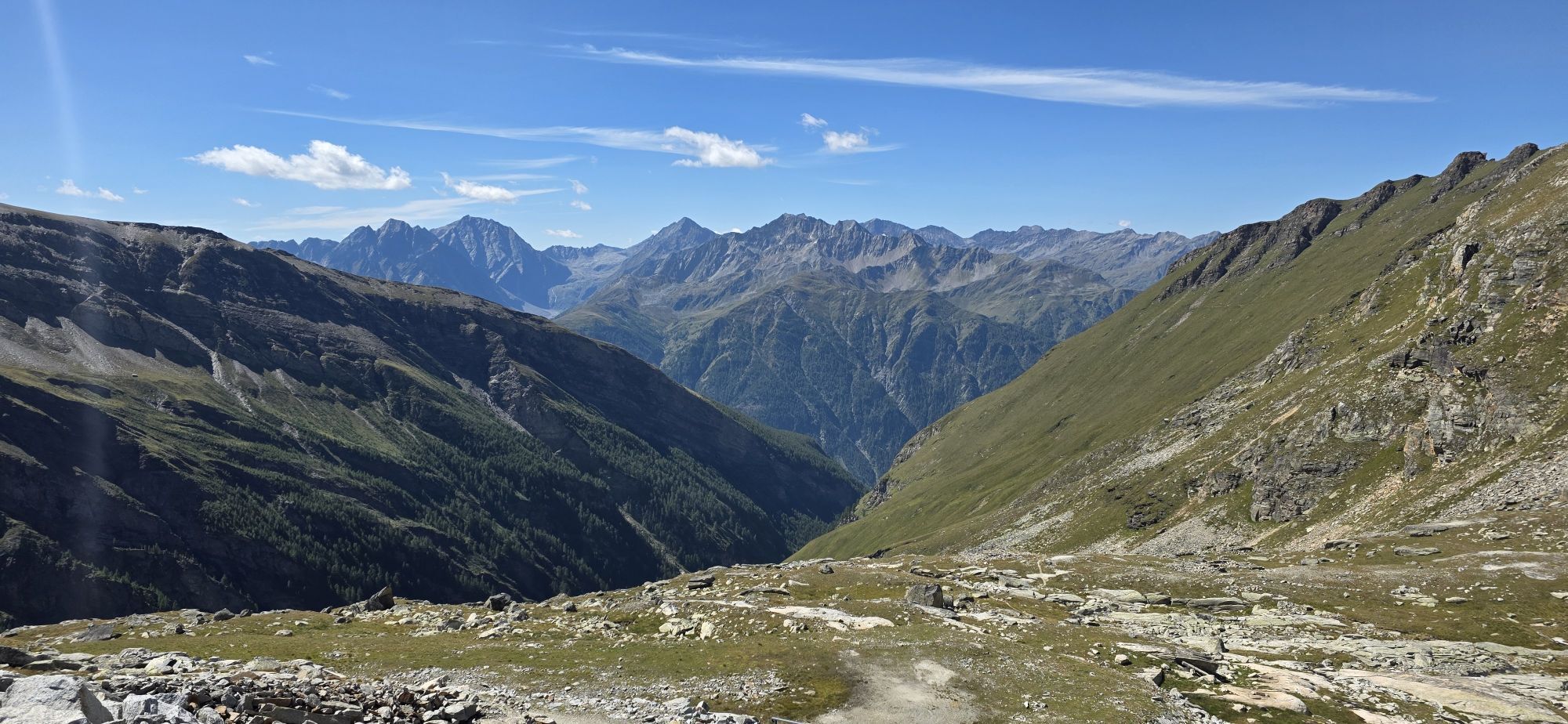


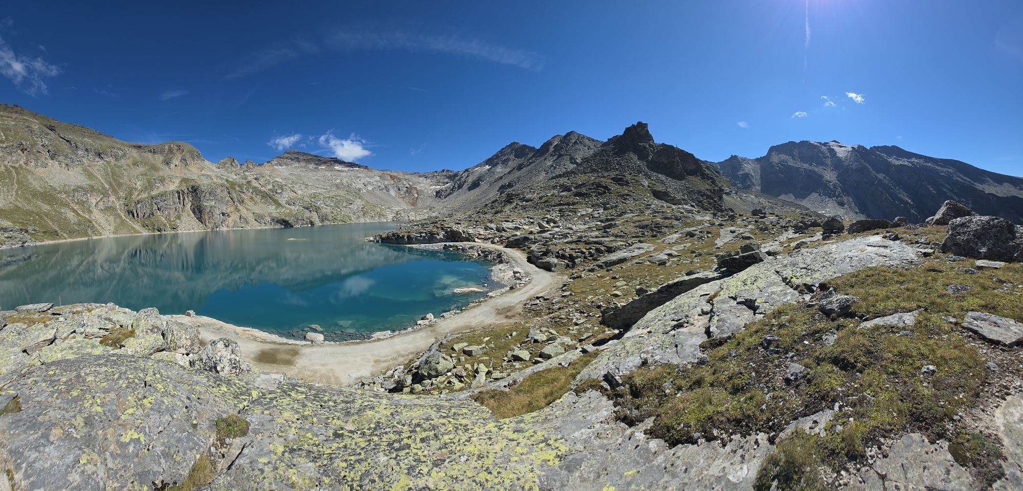
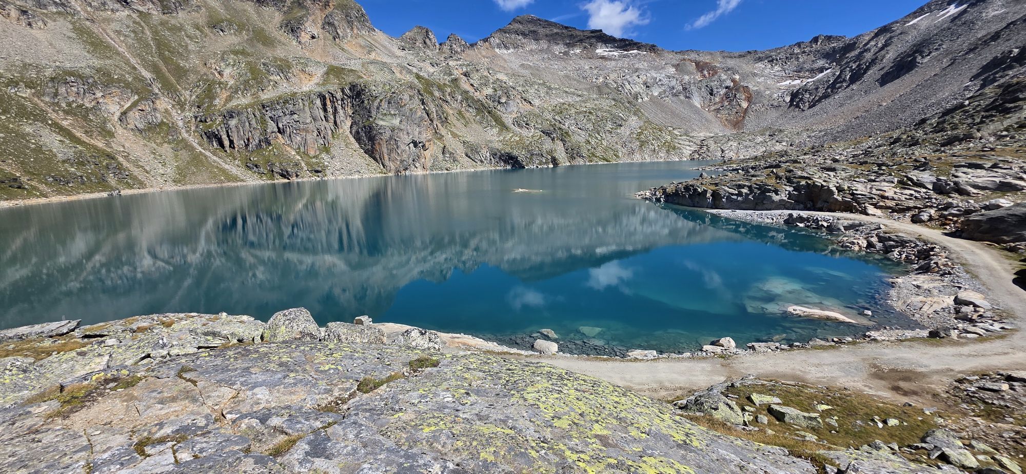

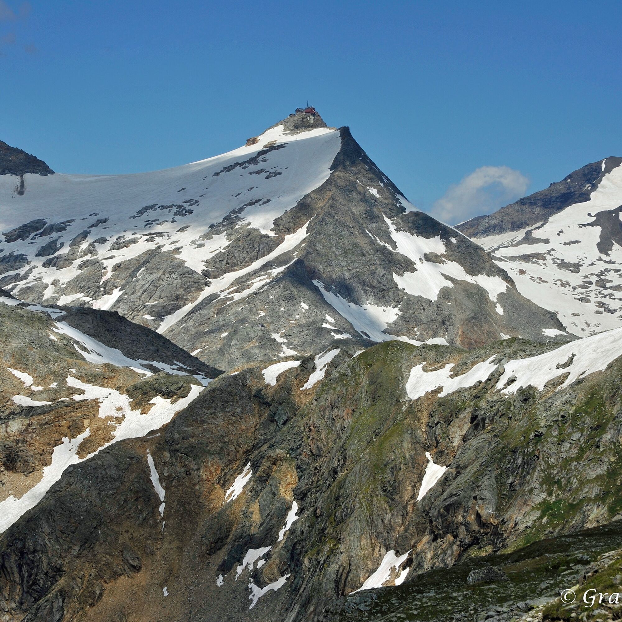
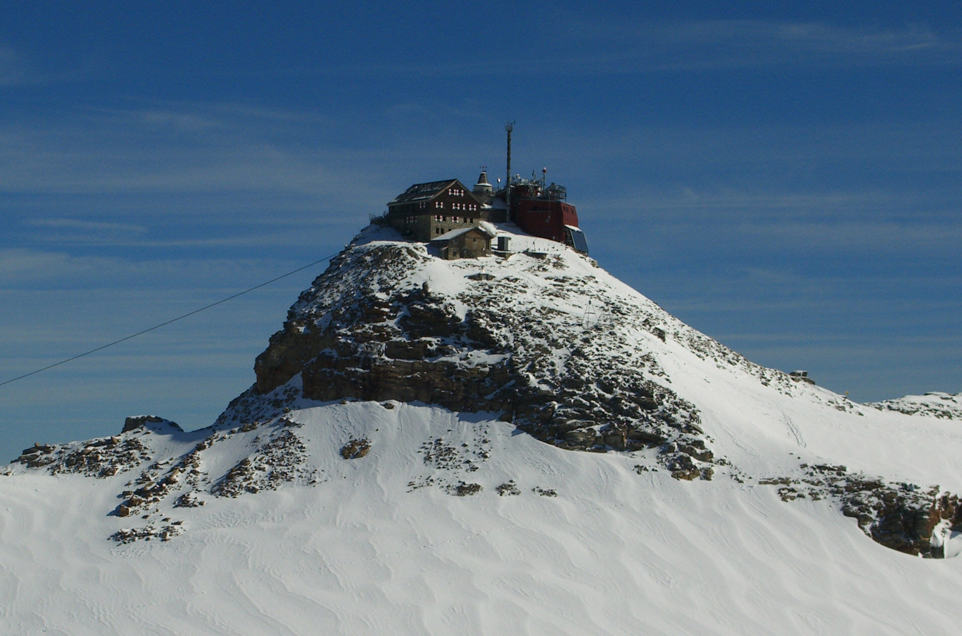
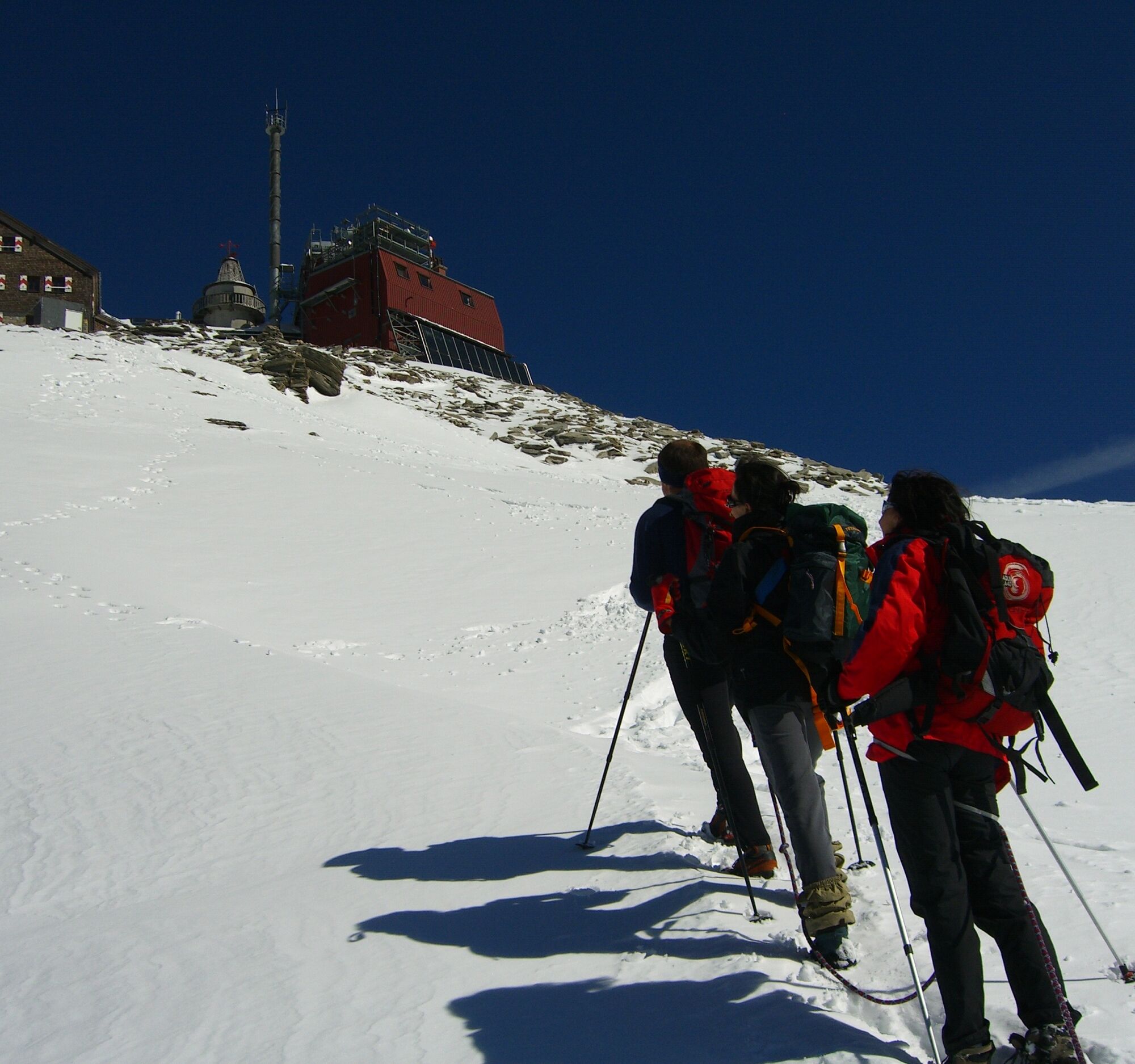
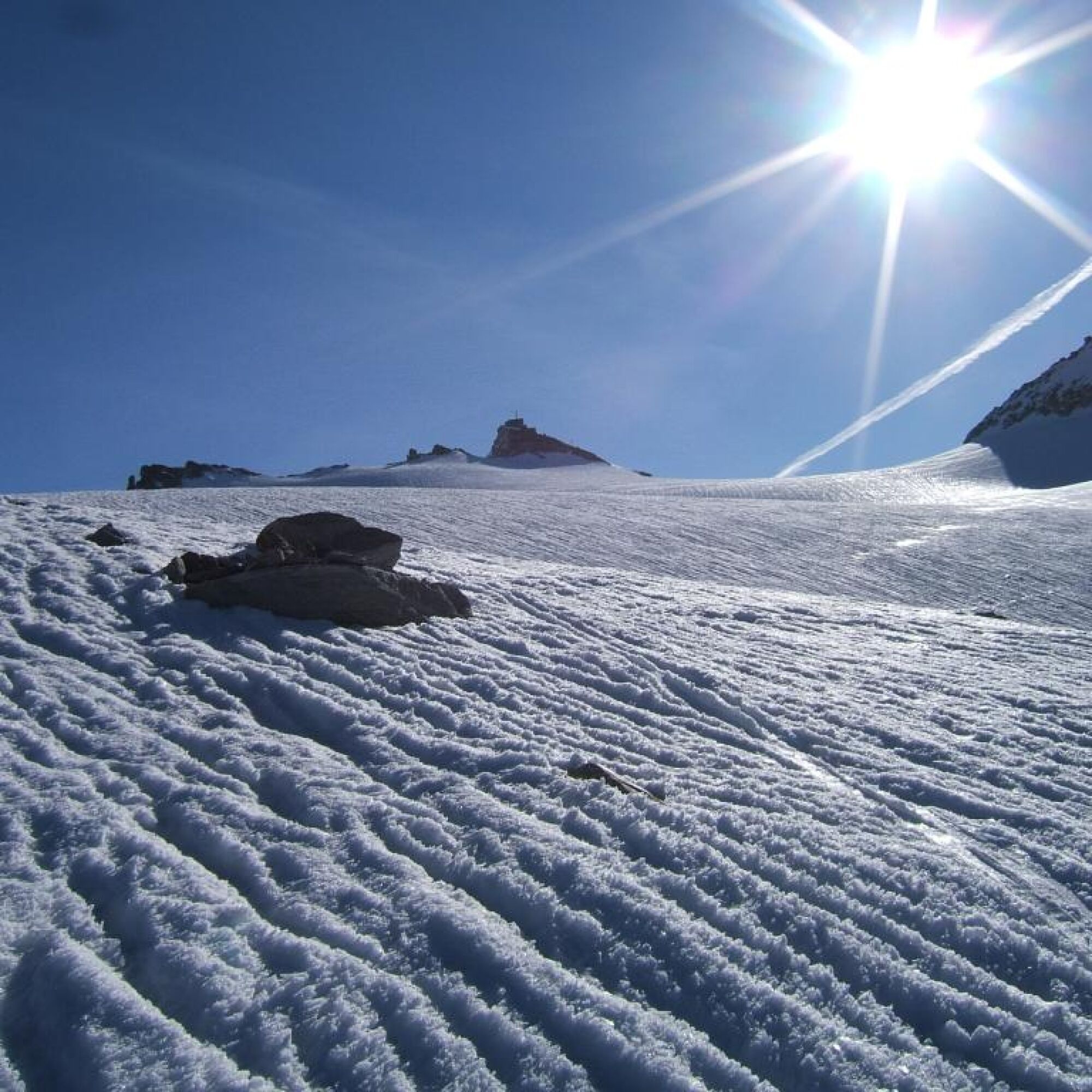
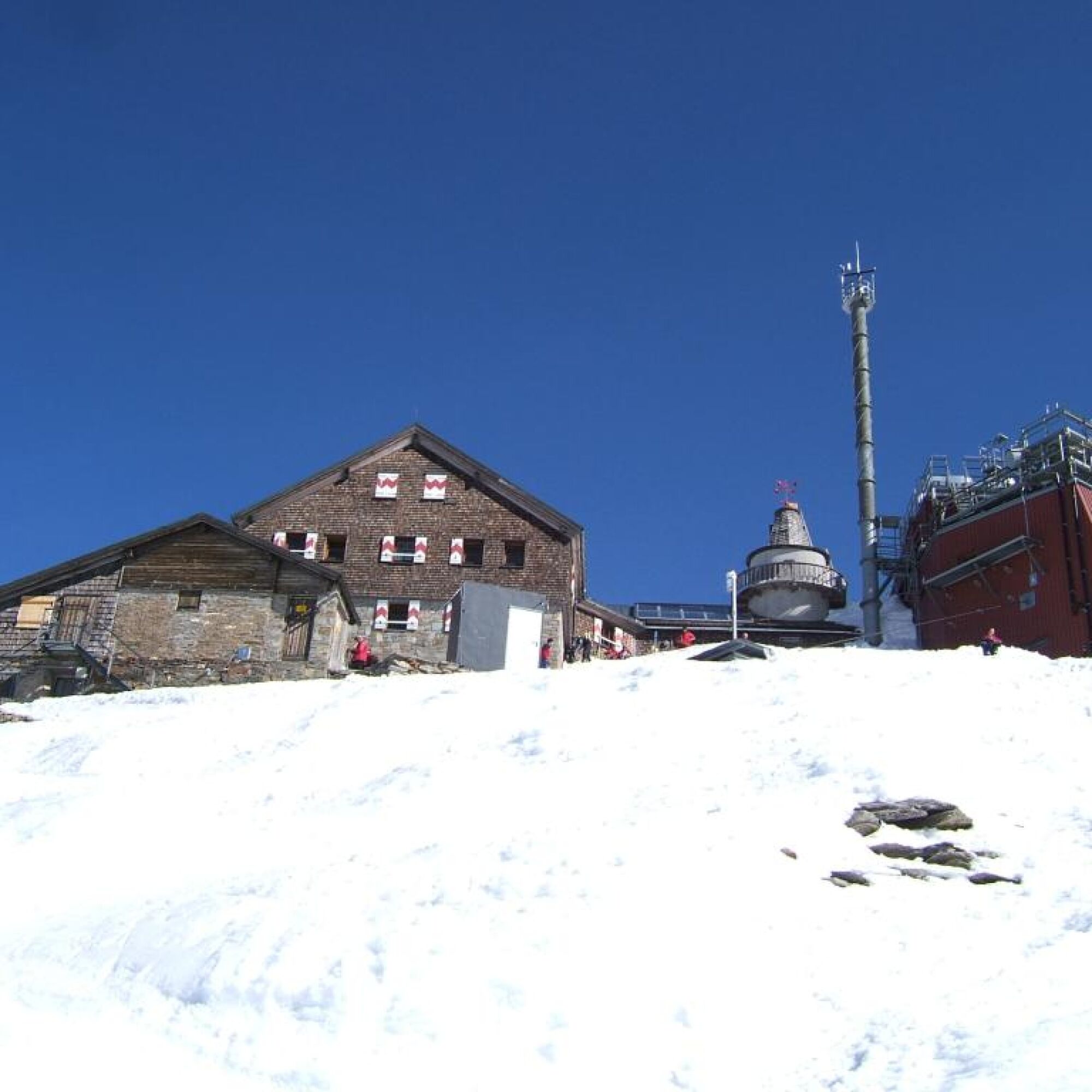
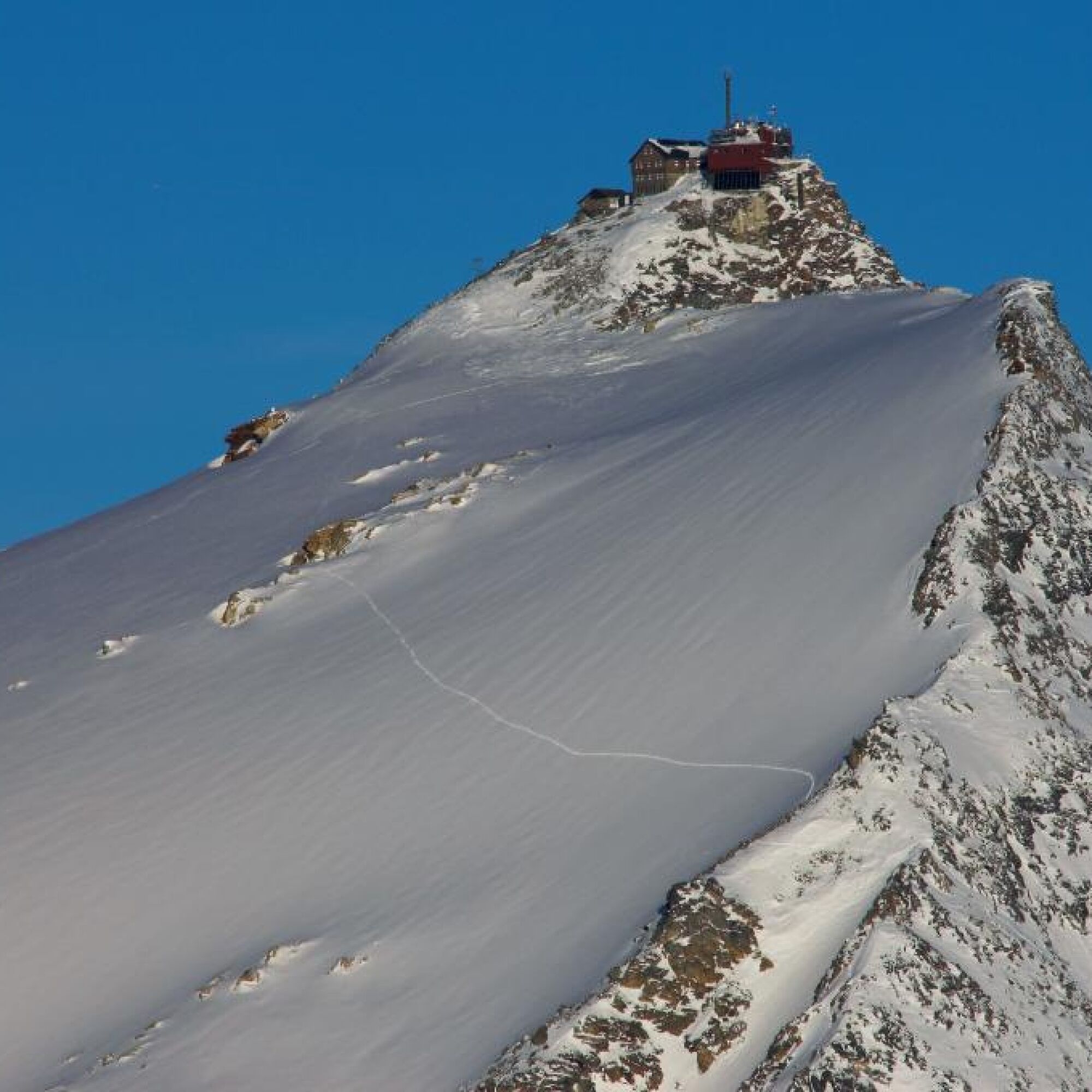
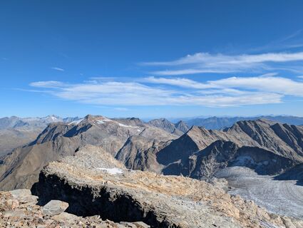
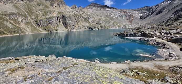
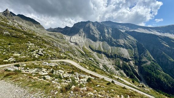
Regarding the ascent, passing to the left of the guesthouse Alter Pocher, we follow the marked hiking trail (No. 159) upwards. After about an hour, the path crosses to the left after a rock band to a fork. We follow the left path towards Zirmsee. This crosses the forest road several times until we reach the ridge above Zirmsee. From here, a few meters downhill, we keep right towards Hörndl and follow the well-marked stones, which lead us pathlessly through block terrain, until we reach a clearly visible path again. This path is repeatedly interrupted by block terrain and leads us to the ridge near Hörndl. We cross it and follow its south side until it leads us to the beginning of the glacier. There are several ways to access the glacier. Due to constant changes, this must be decided situationally here. We ascend steadily on the glacier, always keeping left, towards the already visible Zittelhaus. We circle the summit structure on the south side until we leave the glacier and tackle the last meters to the Zittelhaus on eroded rock.
Descent as ascent or via an alternative:
During the descent, it is possible to continue following the glacier to its western edge. From here, a marked trail leads down a prominent lateral moraine to the forest road. We follow this to the right back towards Zirmsee, where we meet the ascent route again. This variant saves time and is therefore recommended for the descent.
Áno
From Heiligenblut via the Großglockner High Alpine Road to the first hairpin bend (Fleißkehre). Turn right at the hairpin and immediately after the farm “Pfeifer” turn left towards Alter Pocher. Follow the paved road downstream to the Alten Pocher (past Goldgräberdorf).
Goldgräberdorf - Alter Pocher parking lot
The unique opportunity to spend the night in the Zittelhaus directly at the summit allows for extraordinary sunrises and sunsets.
Obľúbené výlety v okolí
-
3,9
Glacier Route to the Pasterze with Gamsgrubenweg (up to Tunnel 6)
strednáTuristika 8,05 km -
4,7
Geotrail Tauernfenster
svetloTuristika 5,90 km -
4,1
Gradental to Adolf Nossberger Hut - circular route
strednáTuristika 11,1 km -
4,7
Hohe Sonnblick Up
ťažkéTuristika 9,14 km -
5,0
Türchlwand von der Bergstation Schlossalmbahn Bad Hofgastein, Österreich
strednáHorská turistika 7,05 km -
5,0
Rifflscharte - Kolmkarscharte - Bockhartscharte - Sportgastein
strednáTuristika 13,5 km -
5,0
Panorama hike Glocknerblick-Asten
svetloTuristika 7,09 km -
4,8
Glockner Alpincenter - Salmhütte - Hohenwartkees
strednáTuristika 8,64 km -
4,8
Hoher Sonnblick Skitour über den Südgrat
ťažkéSkitour 5,49 km -
4,5
Bad Gastein Stubnerkogel-Zittrauer Tisch Rundwanderung
strednáTuristika 18,6 km
Turistika a stopovanie


Nenechajte si ujsť ponuky a inšpiráciu na ďalšiu dovolenku
Vaša e-mailová adresa bol pridaný do poštového zoznamu.