


Whisper of Keroharju, Salla


Stunning photogenic swamp areas and rugged nature attract landscape admirers and nature photographers to this route. On this trail in the northern part of Oulanka National Park, you will cross a river...
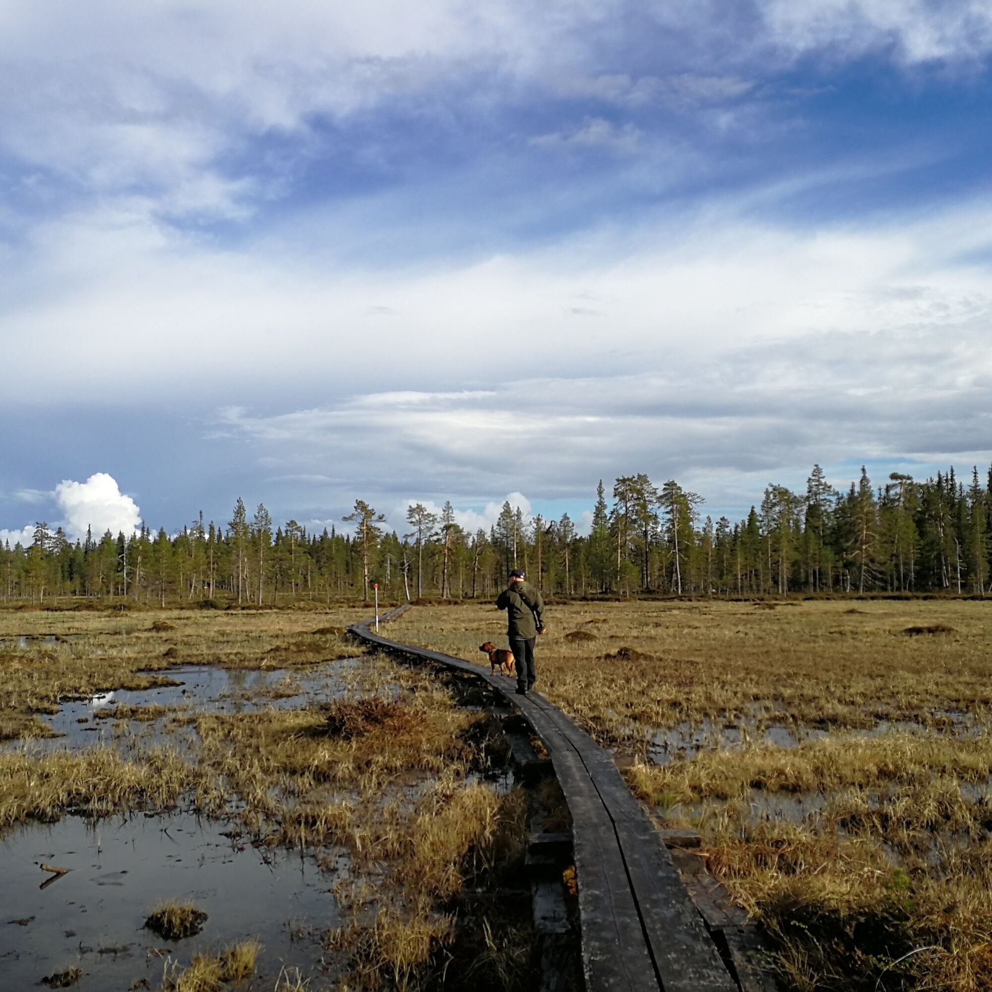
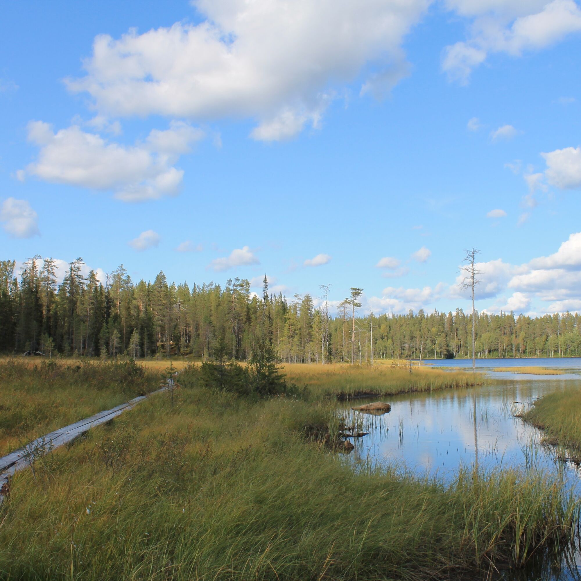
Stunning photogenic swamp areas and rugged nature attract landscape admirers and nature photographers to this route. On this trail in the northern part of Oulanka National Park, you will cross a river by a cable ferry. The Keroharju wilderness hut with sauna invites you to stay longer in the wilderness.
Notes:
- The route includes a water crossing; the Niitselysjoki river is crossed by a cable ferry, which is removed during winter.
- The route can be started in Kuusamo from Harjulammentie in Liikasenvaarasta or in Salla from Niitselyksentie at Hautajärvi.
- Follow the guidelines for moving in Oulanka National Park; instructions can be found on Metsähallitus’ luontoon.fi website.
- More information about the route is available on Metsähallitus’ luontoon.fi website.

The route can be started from Harjulammentie in Liikasenvaarasta, Kuusamo, or from Niitselyksentie at Hautajärvi, Salla.
- Waterproof gear, waterproof high-cut hiking boots or rubber boots
- Choose the route considering your fitness, skills, and conditions.
- Follow the signs and markings.
- Always keep a map and phone with you. You can also download the Salla routes to your phone via the Citynomadi app (maps pre-downloaded to the phone also work in areas with no internet connection).
- Download the 112 app to your phone for possible emergencies. It is your duty to stop and help if you notice someone needing assistance.
The route can be started at Hautajärvi in Salla from Niitselyksentie and in Kuusamo from Harjulammentie in Liikasenvaarasta.
Nearest railway station in Kemijärvi (1h). Night train connection to Salla by bus.
Nearest airports Kuusamo (1.5 h) and Rovaniemi (2 h).
Always check bus availability and schedules on the Matkahuolto website.
Free parking at the starting point.
Remember the rule of litter-free hiking; everything you bring into nature must also be taken out. A hiker leaves no trace in nature.
A really great route choice for all nature photographers!
Obľúbené výlety v okolí
-
Oulanka National Park
svetloTuristika 10,4 km -
5,0
Salla - Jussinkämppä autiotupa - Konttainen - Valtavaara
ťažkédiaľková pešia trasa 80,9 km -
4,0
Kuusamo - Näköalatorni - Kiutaköngäs
strednáTuristika 7,13 km -
5,0
Kuusamo
svetloTuristika 5,05 km -
Salla - Savilampi autiotupa
strednáTuristika 5,59 km -
Kuusamo - Taivalköngäs
strednáKajak / Kanu 12,6 km -
Kuusamo
strednáKajak / Kanu 24,8 km -
Kuusamo
strednáTuristika 0,22 km -
Kuusamo - Kiutaköngäs
ťažkéSkitour 24,6 km -
Kuusamo - Taivalköngäs autiotupa
strednáTuristika 15,2 km
Turistika a stopovanie


Nenechajte si ujsť ponuky a inšpiráciu na ďalšiu dovolenku
Vaša e-mailová adresa bol pridaný do poštového zoznamu.