


Aprica to Venerocolo Pass


Fotografie našich používateľov
-

 © Amanda BelleriVytvorené dňa 26.10.2025
 -
 © Amanda BelleriVytvorené dňa 26.10.2025
 -
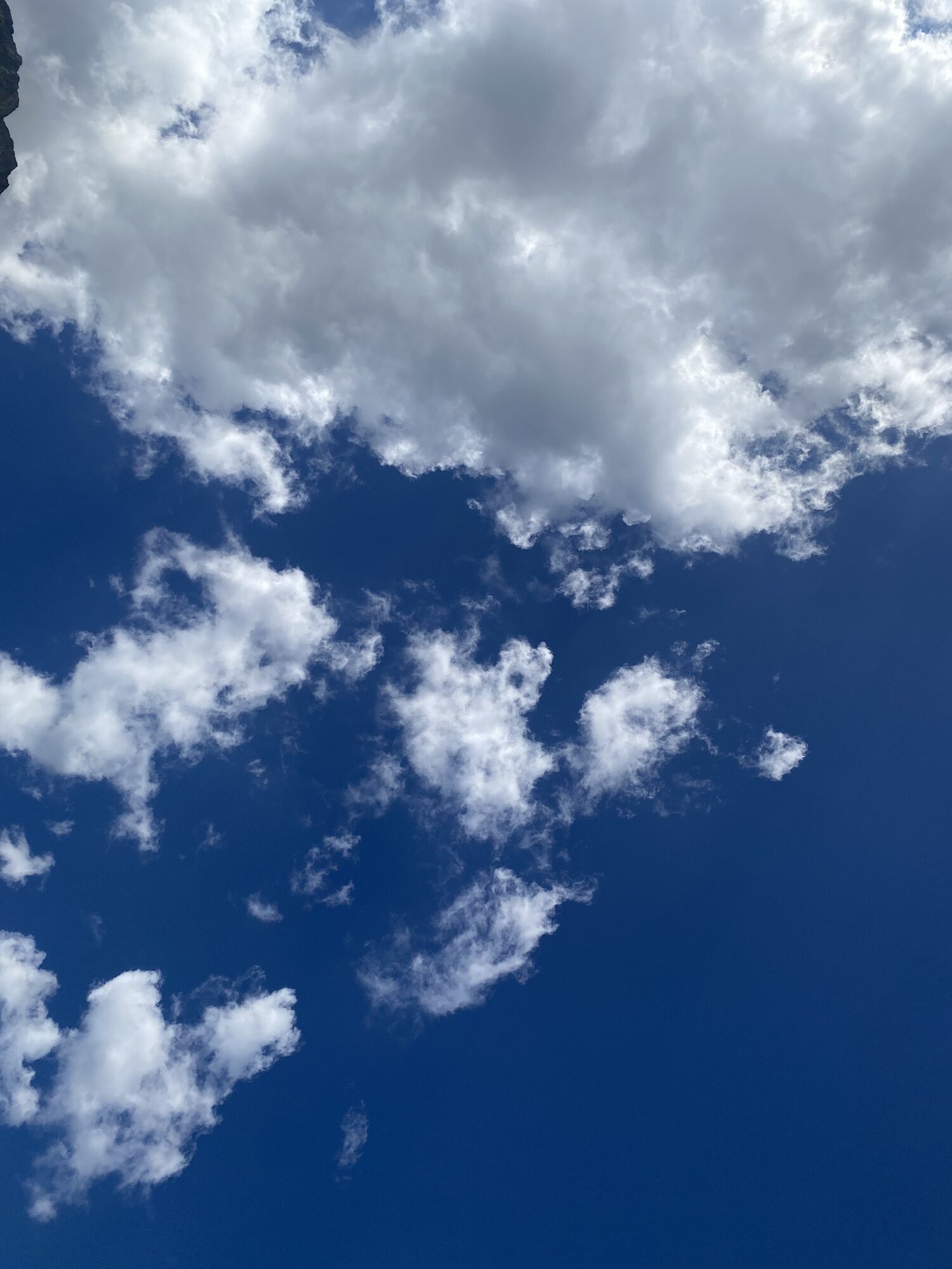
 © Marco Angelo BonginiVytvorené dňa 24.08.2025
 -
 © Marco Angelo BonginiVytvorené dňa 24.08.2025
 -
 © Marco Angelo BonginiVytvorené dňa 24.08.2025
 -
 © Marco Angelo BonginiVytvorené dňa 24.08.2025
 -
 © Marco Angelo BonginiVytvorené dňa 24.08.2025
 -
 © Marco Angelo BonginiVytvorené dňa 24.08.2025
 -
 © Marco Angelo BonginiVytvorené dňa 24.08.2025
 -
 © Marco Angelo BonginiVytvorené dňa 18.07.2025
 -
 © Marco Angelo BonginiVytvorené dňa 18.07.2025
 -
 © Marco Angelo BonginiVytvorené dňa 18.07.2025
 -
 © Marco Angelo BonginiVytvorené dňa 18.07.2025
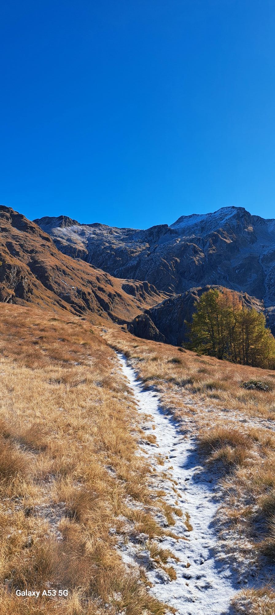


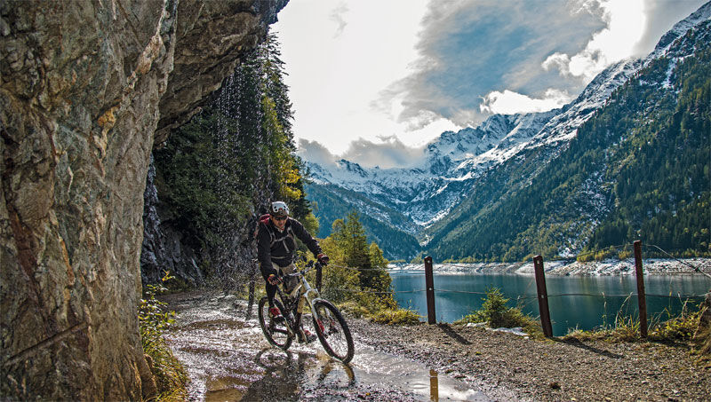
You start from the car park nearby Magnolta ski runs and take the dirt road climbing up to the left of the cableway. The sign indicates Malga Magnolta and Passo Venerocolo. You can easily cycle on the...
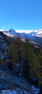
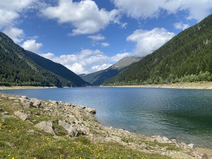
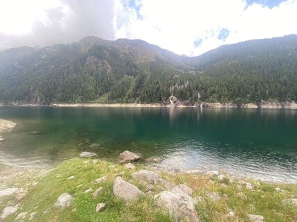
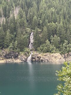
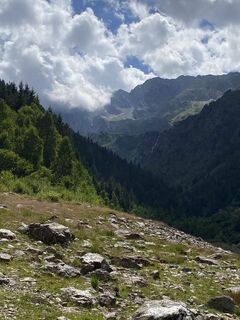
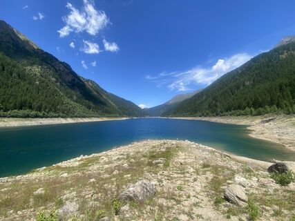
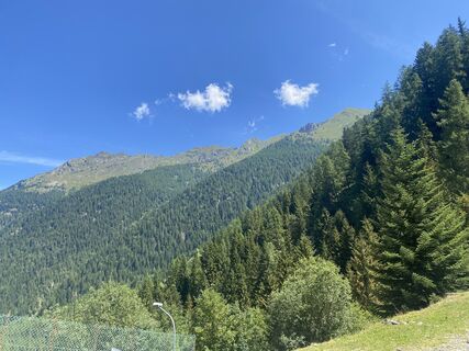
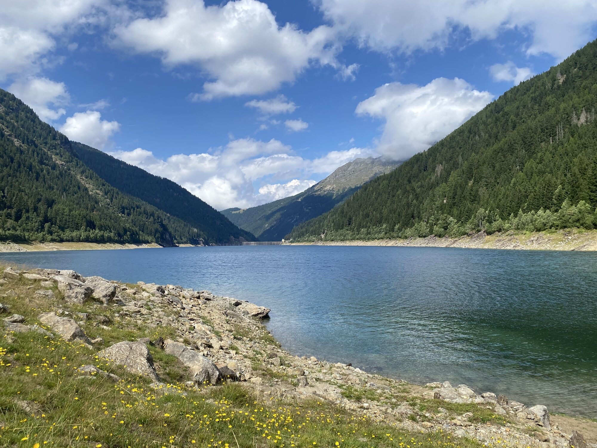
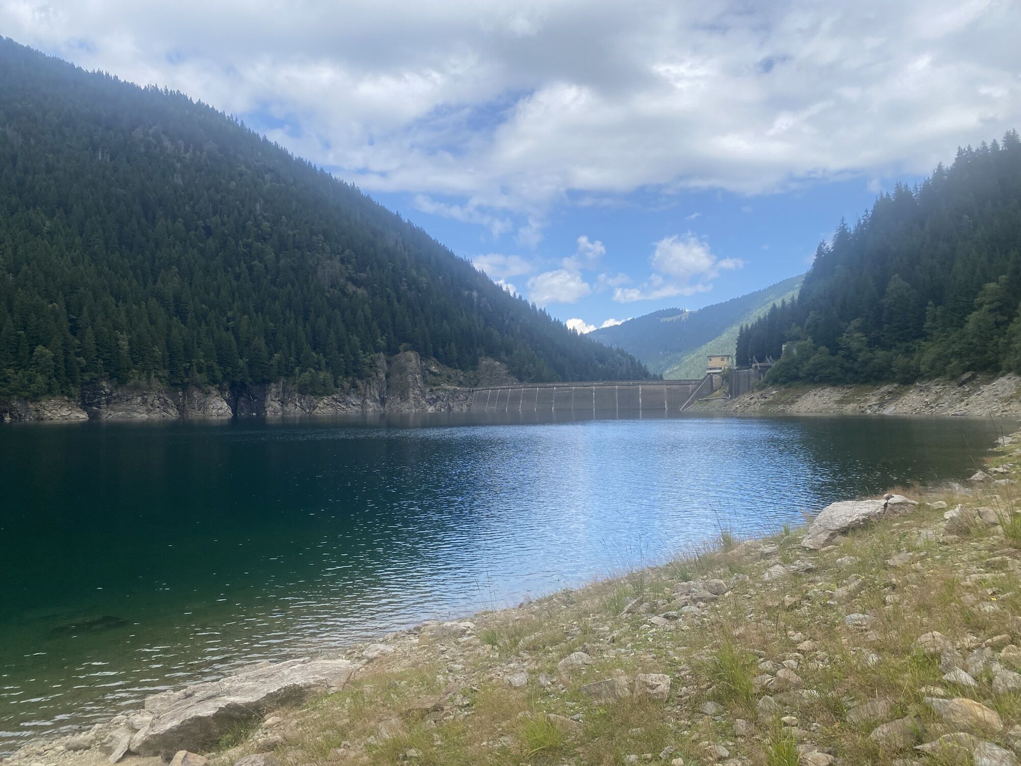
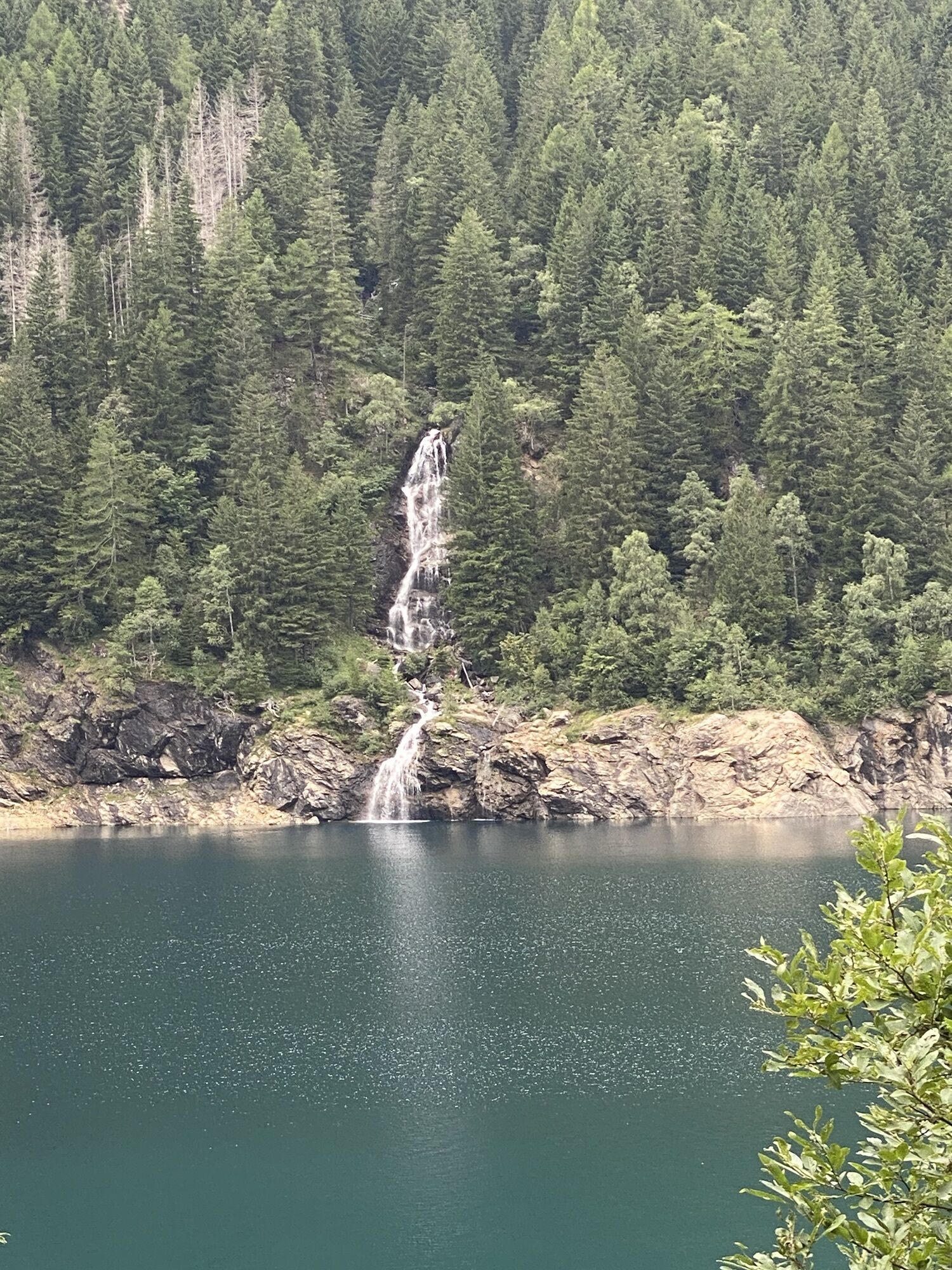
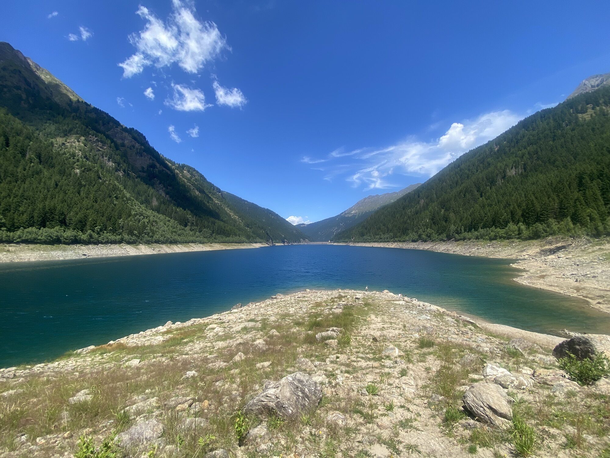
You start from the car park nearby Magnolta ski runs and take the dirt road climbing up to the left of the cableway. The sign indicates Malga Magnolta and Passo Venerocolo. You can easily cycle on the first half of the uphill dirt road, which then gets much steeper from the mountain huts in Corna Alta 1457 m to the finish of the cableway 1870 m, so that you may need to carry your MTB. This is a challenging ascent but in summertime you can use the lift up to Magnolta. Halfway up the second ski lift, at 1940 meters, the track becomes a flat trail, which goes into the wood, turns south and enters Val Belviso. You have to ride for about 13 km on a flat path going sometimes gently uphill, going past Malga Magnola 1997 m and crossing the Valle del Latte and the Valle di Pisa. You have to pay attention to some exposed stretches. The first part of the descent from Passo di Venerocolo 2314 m to the dirt road at 2000 meters above Malga di Campo 1816 m is steep and not very flowing. The downhill ride alongside the artificial lake and through the remaining part of Val Belviso does not hinder your fun. The route ends with the ascent on a paved road from Ponte Ganda 906 m to the resort town of Aprica.
Aprica, Magnolta lifts parking lot - Corna Alta - Magnolta - Malga Magnolta - Val Belviso - Malga Magnolta - Venerocolo Pass - Malga di Campo - Lake Belviso - San Paolo - Ponte Ganda - Aprica
Magnolta Facilities
Obľúbené výlety v okolí
-
4,3
Rifugio Curo’ e lago del Barbellino - lago naturale del Barbellino - lago Gelt
ťažkéTuristika 26,4 km -
4,0
Valbondione-Curò
strednáTuristika 7,02 km -
Cima della Bacchetta
ťažkéTuristika 11,4 km -
Lago del Barbellino
strednáTuristika 19,2 km -
434 Col d'Anzana
ťažkéMountainbike 33,8 km -
Santicolo-Corteno-Castione-A-R
strednáMountainbike 16,0 km -
Schmugglerweg
Turistika 9,11 km -
Laghi di Santo Stefano
svetloTuristika 5,77 km -
Mulattiera della Val dArigna
svetloTuristika 7,69 km -
Santicolo -Edolo
strednáMountainbike 16,5 km
Turistika a stopovanie


Nenechajte si ujsť ponuky a inšpiráciu na ďalšiu dovolenku
Vaša e-mailová adresa bol pridaný do poštového zoznamu.