


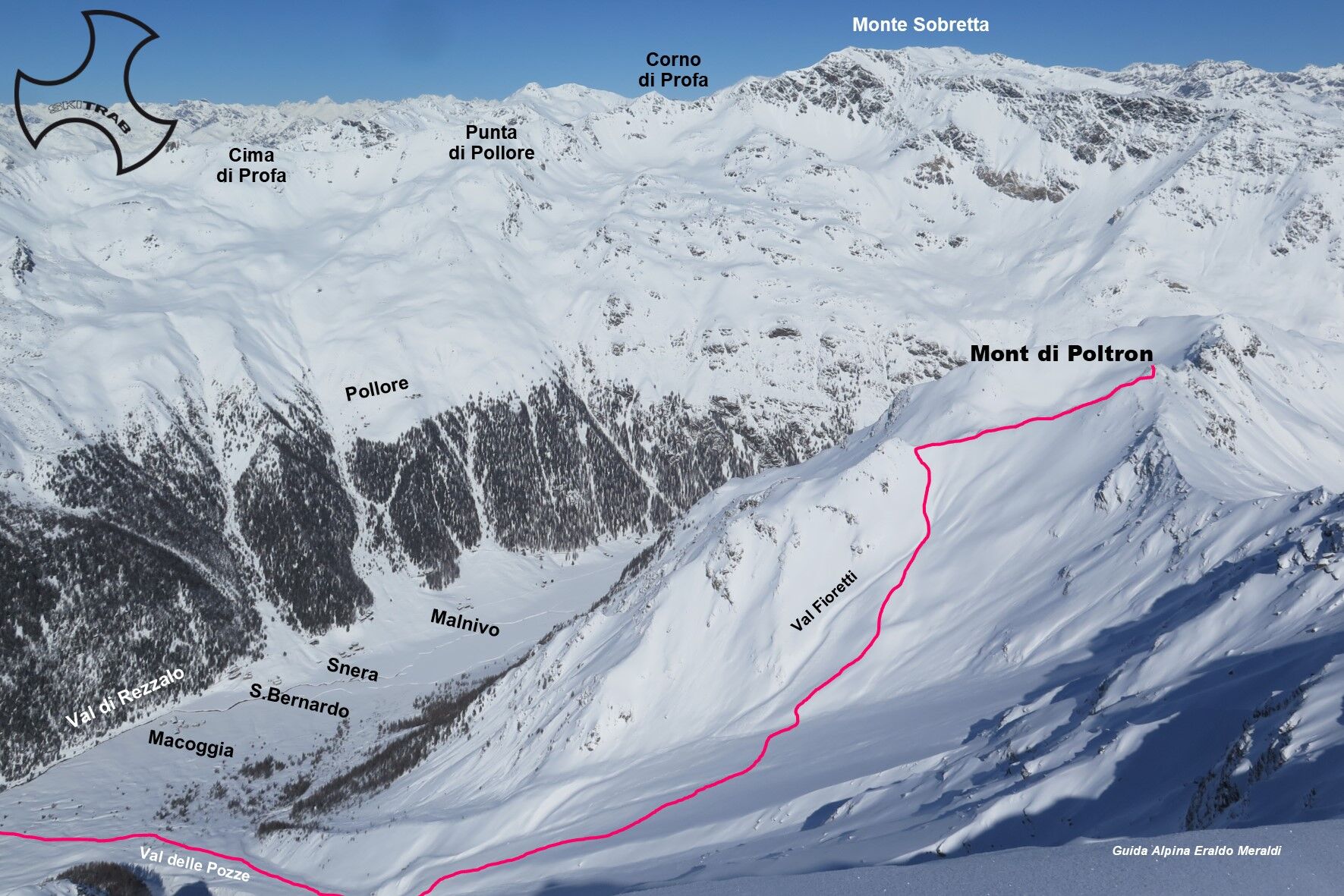
Mont of Poltron


Fotografie našich používateľov
From the parking area in the locality of Fontanaccia, follow, penetrating into the woods, the beautiful little road that gradually climbs with moderate gradient, passing a series of clearings with mountain...
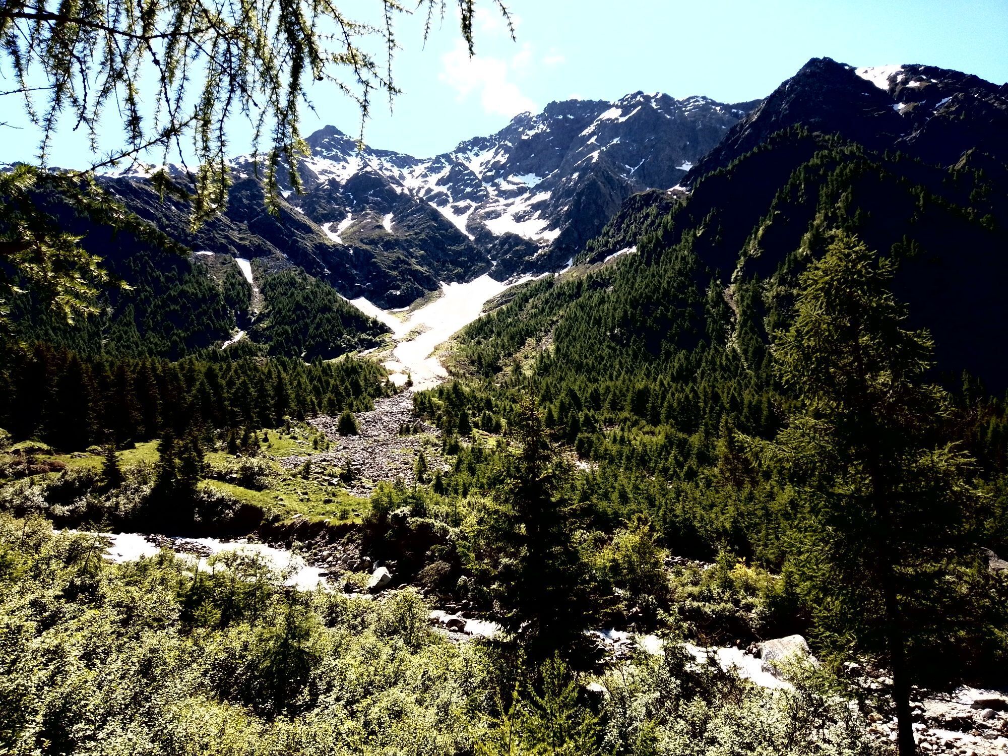
From the parking area in the locality of Fontanaccia, follow, penetrating into the woods, the beautiful little road that gradually climbs with moderate gradient, passing a series of clearings with mountain huts, and when you reach the locality of Mason De La Via, cross the small bridge to the right. You pass the huts thus going up the wide cone of the Val delle Pozze. The slope becomes steeper and steeper, and you take the left side of the Fioretti valley near the west ridge; you climb it, arriving on the ridge near the summit.


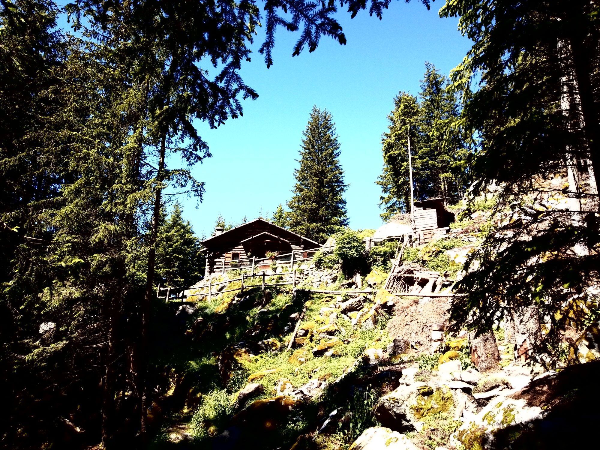
Rodigheir huts, Dosso Le Piazze, Monte Rocca.
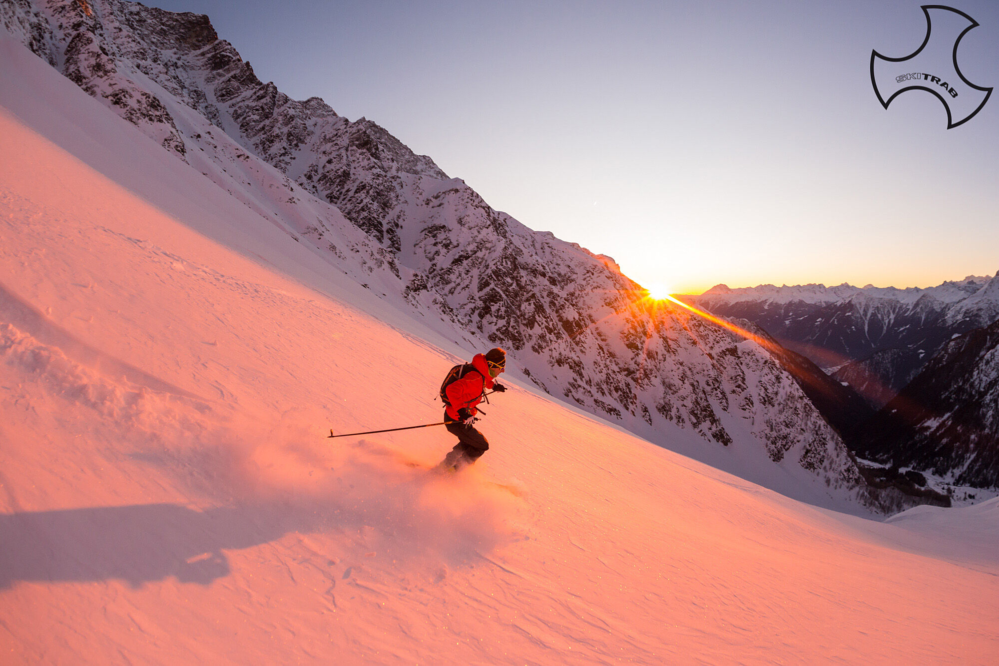
Self-rescue equipment (ARTVA, shovel and probe). Rampant.
Theroute description and trail are approximate and should be verified on site depending on the condition of the snowpack present during the hike.
Because this is a hike in a snowy mountain environment at high altitudes subject to continually changing snowpack conditions, it is advisable to have adequate experience in ski mountaineering, knowledge of the area, and up-to-date information on snow conditions.
Accompaniment with a professional guide is recommended.
Ample parking spaces at the start.
The route description and trail are approximate and should be verified on site depending on the condition of the snowpack present during the hike.
Because this is a hike in a snowy mountain environment at high altitudes subject to continually changing snowpack conditions, it is advisable to have adequate experience in ski mountaineering, knowledge of the area, and up-to-date information on snow conditions.
Accompaniment with a professional guide is recommended.
Obľúbené výlety v okolí
-
Stelvio Epic Rides: Gavia Pass
ťažkéCestný bicykel 25,8 km -
3,0
Transalp: St. Anton/ Arlberg nach Riva
ťažkéMountainbike 277,3 km -
Adamello - Val Grande - Biwak
strednáE-MTB 22,8 km -
Hiking in the Rezzalo Valley from the Alpe Bridge
ťažkéTuristika 12,3 km -
Trench trail from Malga dei Forni and Valle delle Rosole
strednáPútnická trasa 8,65 km -
Sunny Valley - Grotta Edelweiss
svetloTuristika 3,83 km -
Stelvio Natural Skimo Trail - Oga
svetloSkitour 3,41 km -
Stelvio Family Trek: Enchanted Forest: the magics of the bo'šch Omen
svetloTuristika 2,95 km -
5,0
Case di Viso
svetloTuristika 8,90 km -
Stelvio Natural Skimo Trail - Bormio 2,000
svetloSkitour 1,49 km
Turistika a stopovanie


Nenechajte si ujsť ponuky a inšpiráciu na ďalšiu dovolenku
Vaša e-mailová adresa bol pridaný do poštového zoznamu.