


Arga River Walk
Úroveň náročnosti: T3


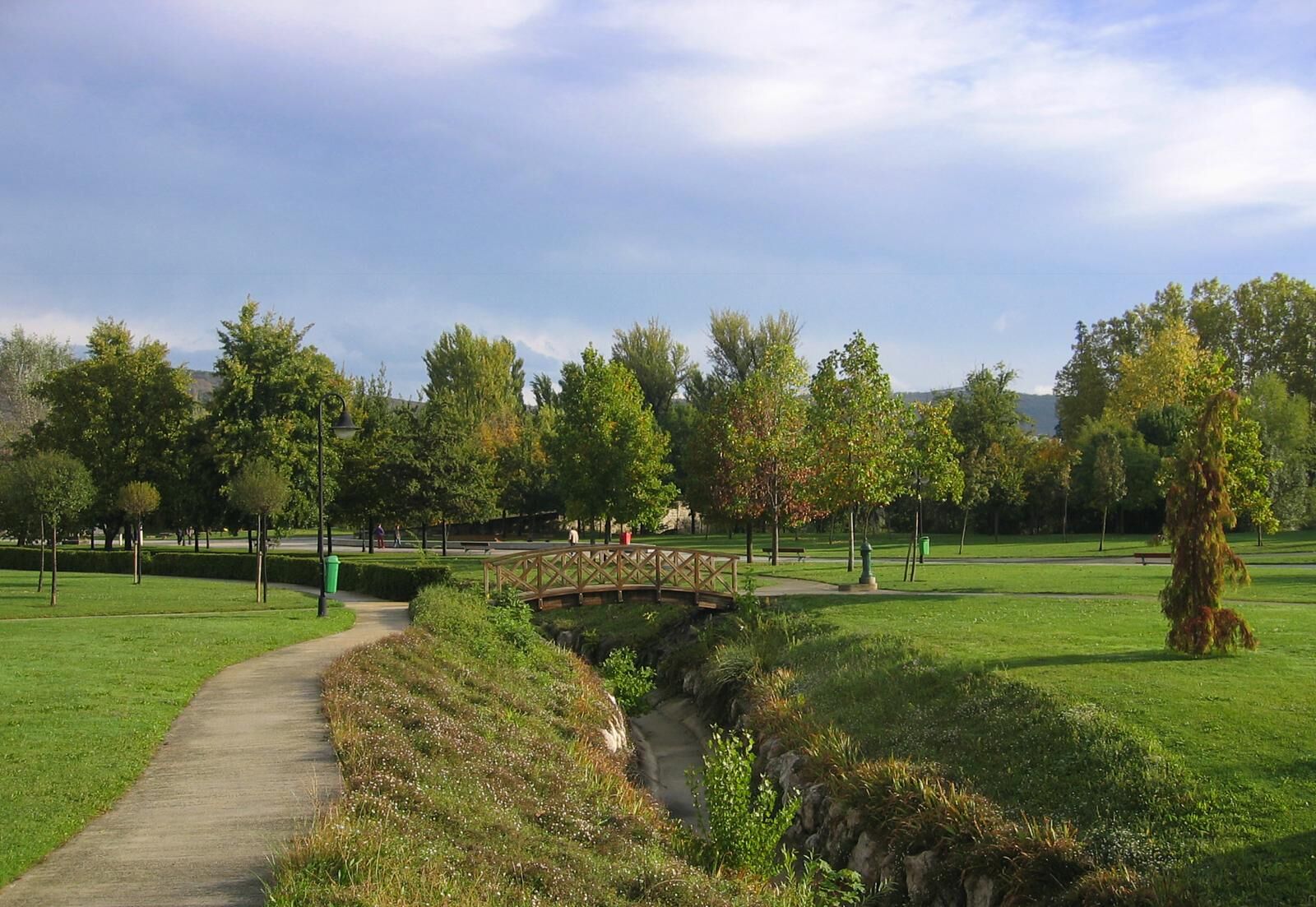
START: Burlada / Burlata, San Juan Square. Parking and fountain. After 100 meters towards the river, you reach La Nogalera Park and the wide route of the river walk. Continue towards the river, passing...
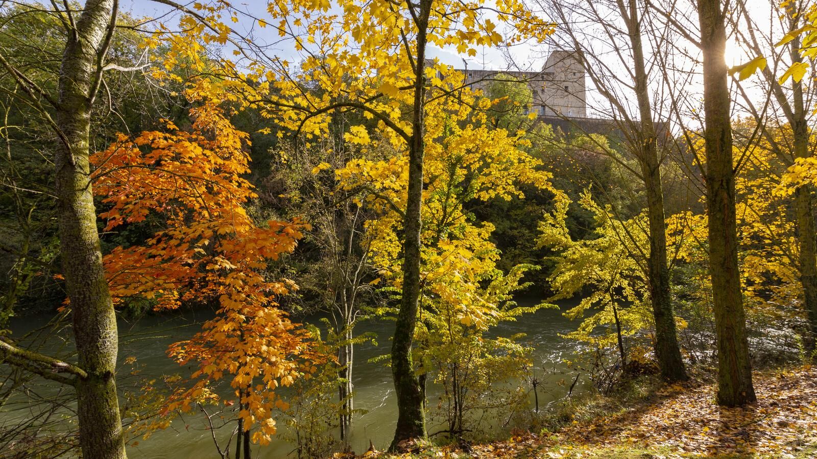
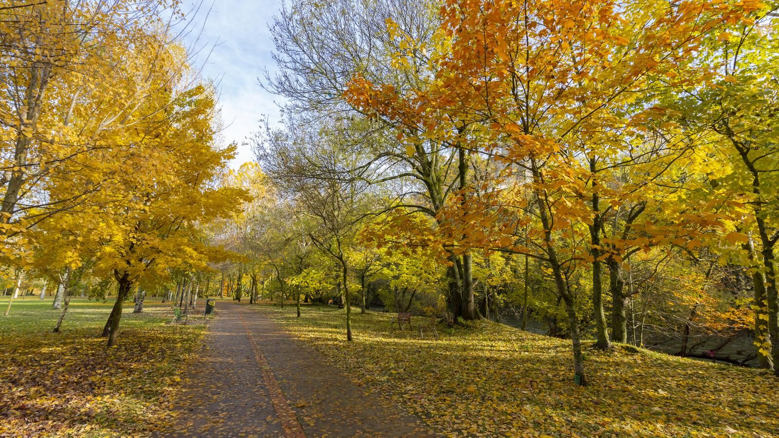
START: Burlada / Burlata, San Juan Square. Parking and fountain. After 100 meters towards the river, you reach La Nogalera Park and the wide route of the river walk. Continue towards the river, passing the old bridge of Burlada and, after crossing an underground passage (km 1.1), join the Camino de Santiago until reaching the Magdalena bridge and cross (km 2.6; services and fountain), at the foot of the walled city of Pamplona. Return along the riverbank, leaving the Arga walkways on the right. After crossing the old bridge of Burlada, and 100 meters before finishing the route (km 6.0), there is an option to turn right and climb to the Erripagaina Park and viewpoint, next to the old water reservoir that supplied Burlada. Return by the same path to the start.

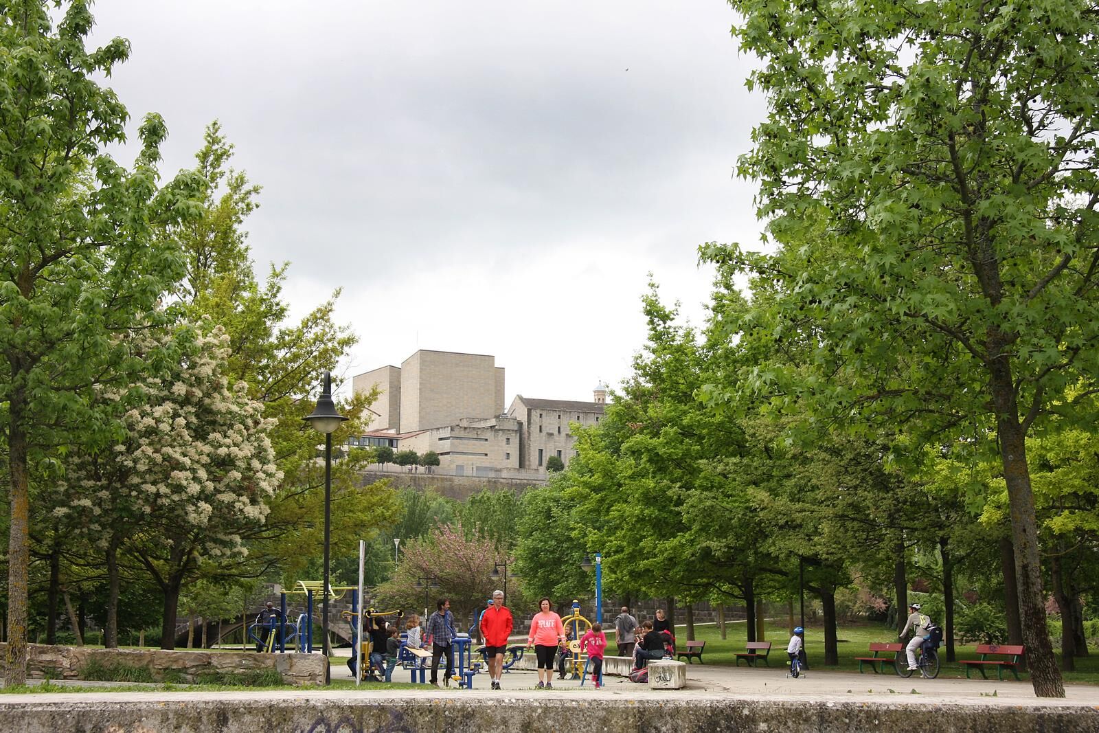
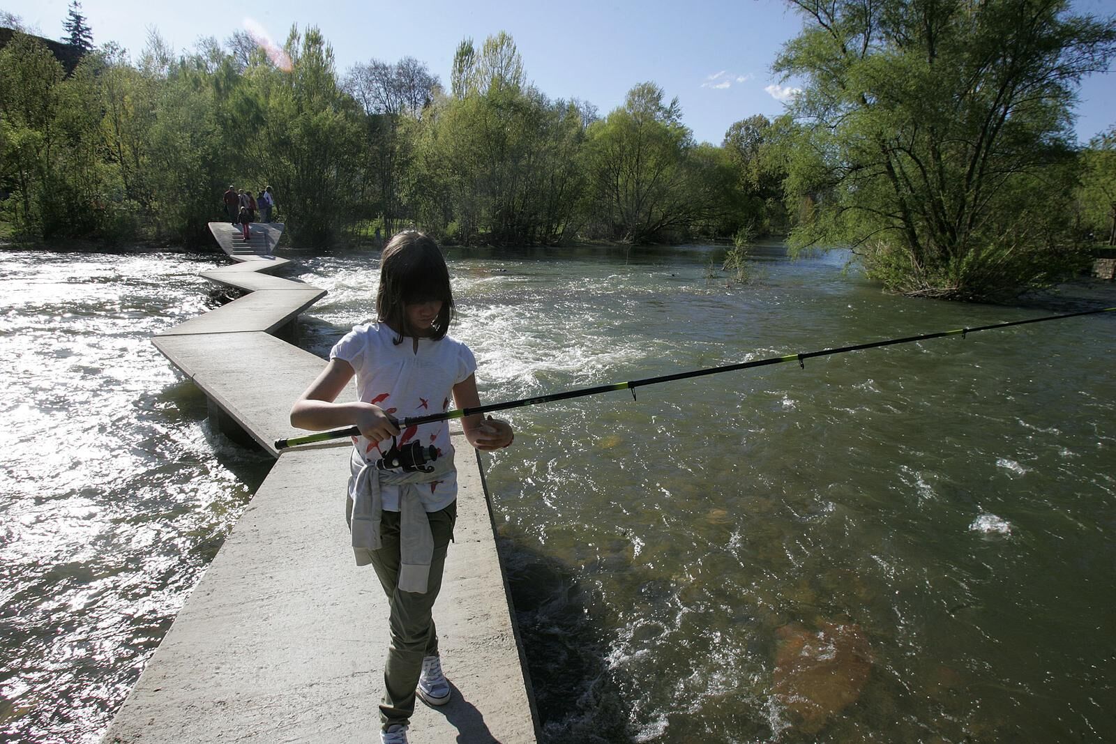
START: Burlada / Burlata, San Juan Square. Parking and fountain. After 100 meters towards the river, you reach La Nogalera Park and the wide route of the river walk. Continue towards the river, passing the old bridge of Burlada and, after crossing an underground passage (km 1.1), join the Camino de Santiago until reaching the Magdalena bridge and cross (km 2.6; services and fountain), at the foot of the walled city of Pamplona. Return along the riverbank, leaving the Arga walkways on the right. After crossing the old bridge of Burlada, and 100 meters before finishing the route (km 6.0), there is an option to turn right and climb to the Erripagaina Park and viewpoint, next to the old water reservoir that supplied Burlada. Return by the same path to the start.
Áno
Hiking shoes or boots.
Water and food.
Navigation tools.
Mobile phone.
Backpack.
Multitool or knife (recommended)
Clothes appropriate for the weather.
First aid kit.
SIGNPOSTING: The trail DOES NOT have specific signposting. Up to km 1.1, you must follow that of the Arga River Walk (directional posts), and up to km 2.6 that of the Camino de Santiago (shell and yellow arrows), coinciding with the EuroVelo-3 cycle route. For the return, follow the signposting of the River Walk with ascent to the Erripagaina viewpoint also signposted.
T3
Pamplona and its region have a network of marked trails. More information: https://www.visitnavarra.es/es/senderos-imprescindibles-de-navarra
Route without specific signposting, part of the outbound coincides with the Camino de Santiago and the return with the River Walk.
Obľúbené výlety v okolí
-
Santesteban - Elgorriaga - Ituren- Zubieta. Water route
svetloCyklistika 13,8 km -
Zizur Mayor. Back to Erreniega
strednáCestný bicykel 63,9 km -
Circular al monte San Critóbal desde Artica
strednáMountainbike 30,1 km -
Pamplona / Iruña - San Esteban - San Nikolas eliza - Sarriguren
strednáCestný bicykel 73,6 km -
4,8
Puente la Reina / Gares - Iglesia parroquial de San Esteban - Iglesia de San Andrés - Pamplona / Iruña
ťažkéPútnická trasa 25,2 km -
Navarra - Parque Fluvial del Arga. Pamplona
Turistika 24,2 km -
Ansoáin / Antsoain - Ezkaba - Burutxeko - Ezkaba Txiki
ťažkéMountainbike 20,8 km -
Huarte/Uharte - Miravalles - Huarte / Uharte - Trinidad de Arre / Trinitate Arre
ťažkéMountainbike 3,74 km -
Trinidad de Arre / Trinitate Arre - Huarte / Uharte - Burlada / Burlata - Villava / Atarrabia
strednáMountainbike 3,23 km -
Pamplona / Iruña - Berriozar - Etxebakar - Parroquia San Esteban
ťažkéMountainbike 14,2 km
Turistika a stopovanie


Nenechajte si ujsť ponuky a inšpiráciu na ďalšiu dovolenku
Vaša e-mailová adresa bol pridaný do poštového zoznamu.