


Long-distance trail Kremstal-Danube 03: Furth - Paudorf


Fotografie našich používateľov
-
 © NickyVytvorené dňa 19.08.2025
 -
 © NickyVytvorené dňa 19.08.2025
 -
 © NickyVytvorené dňa 19.08.2025
 -
 © Helmut SchellmannVytvorené dňa 28.04.2025
 -
 © Bernd Huber 4Vytvorené dňa 23.10.2022
 -
 © Bernd Huber 4Vytvorené dňa 23.10.2022
 -
 © Bernd Huber 4Vytvorené dňa 23.10.2022
 -
 © Bernd Huber 4Vytvorené dňa 23.10.2022
 -
 © Bernd Huber 4Vytvorené dňa 23.10.2022
 -
 © Bernd Huber 4Vytvorené dňa 23.10.2022
 -
 © Bernd Huber 4Vytvorené dňa 23.10.2022
 -
 © Bernd Huber 4Vytvorené dňa 23.10.2022
 -
 © Bernd Huber 4Vytvorené dňa 23.10.2022
 -
 © Bernd Huber 4Vytvorené dňa 23.10.2022
 -
 © Bernd Huber 4Vytvorené dňa 23.10.2022

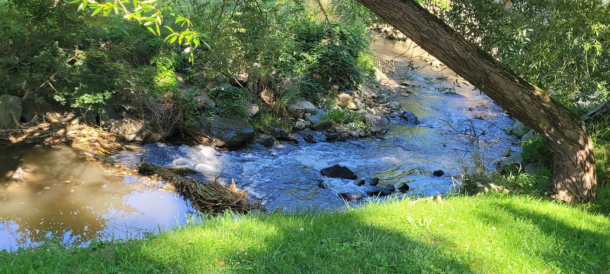

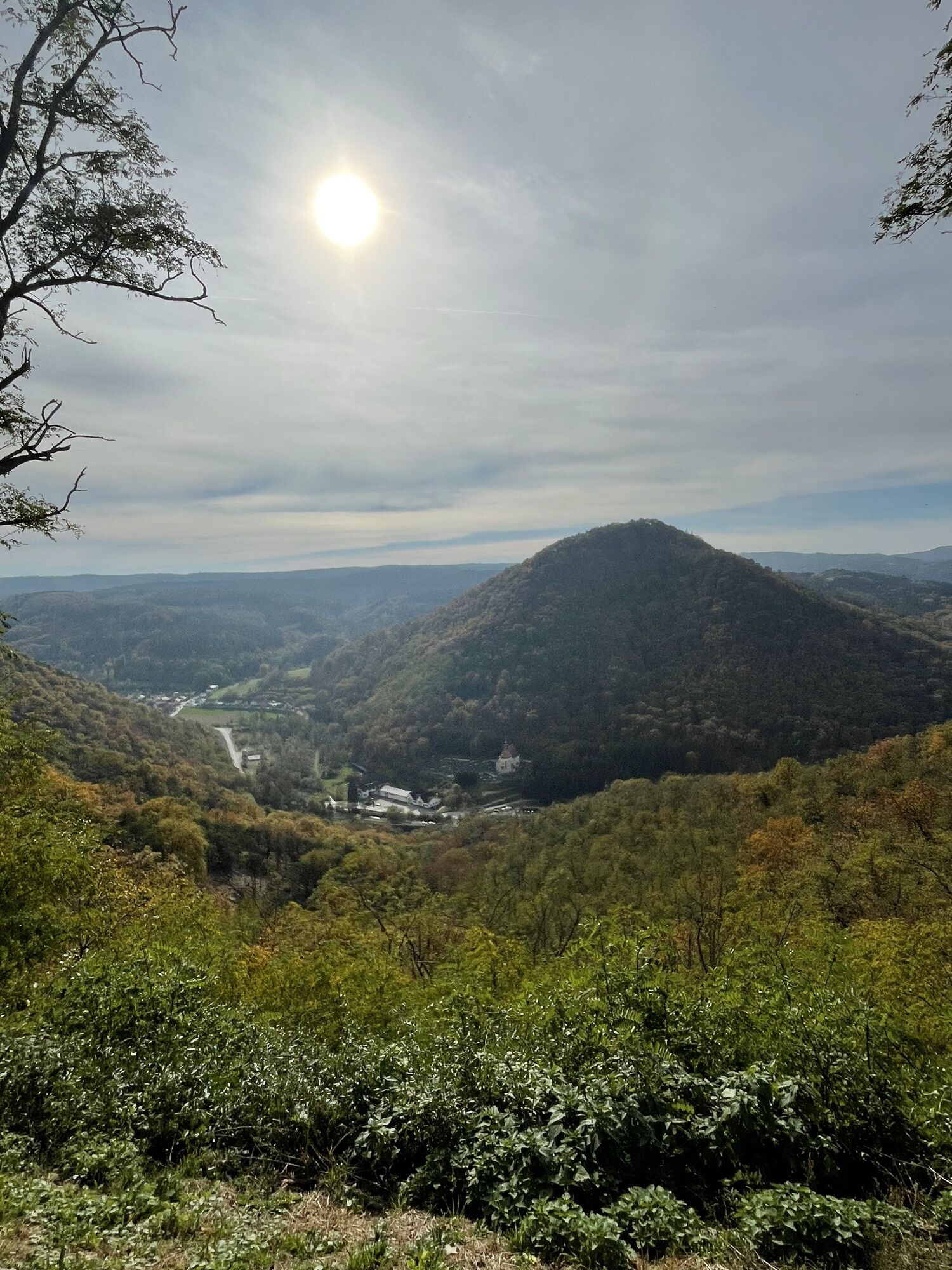
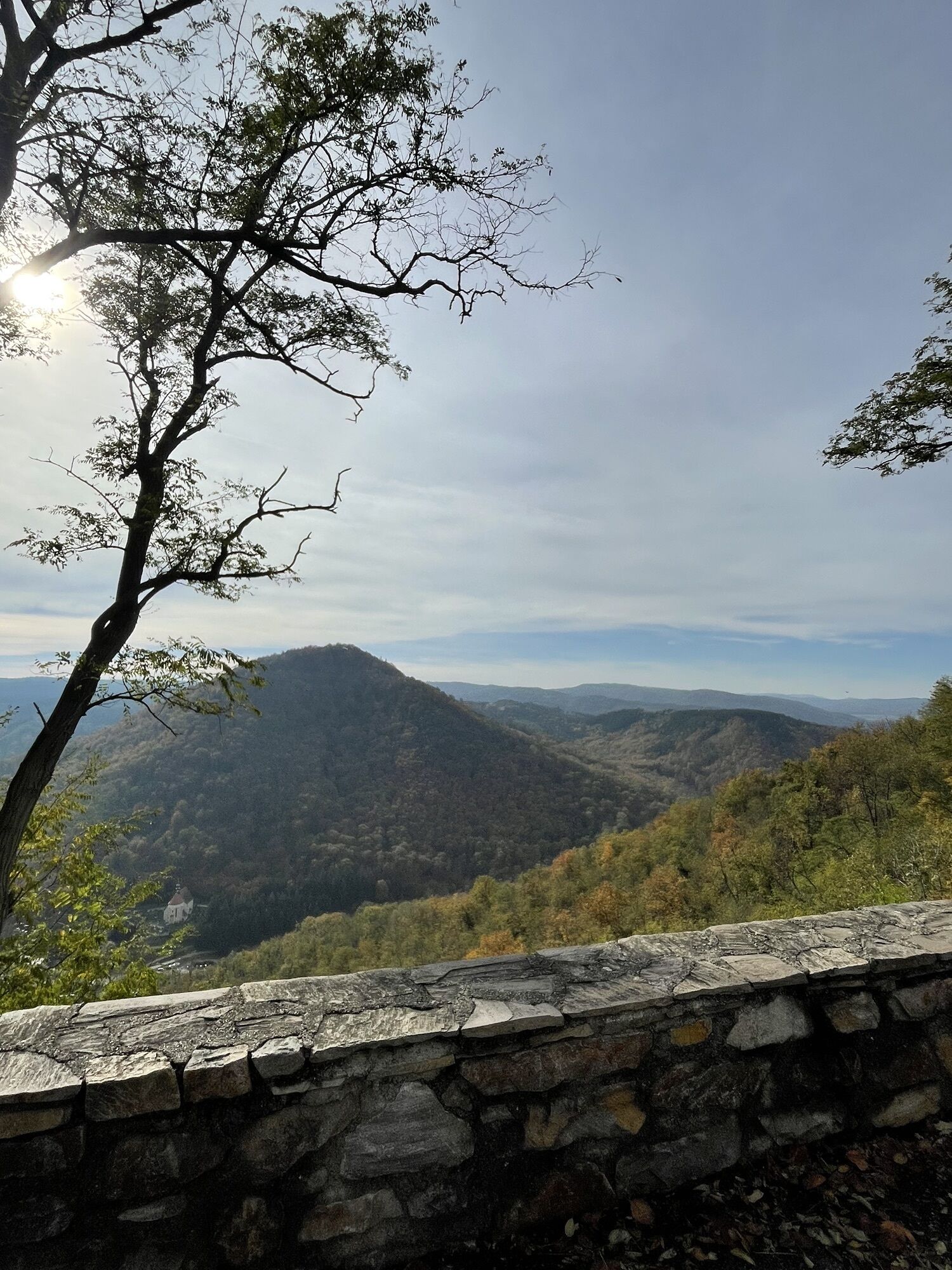
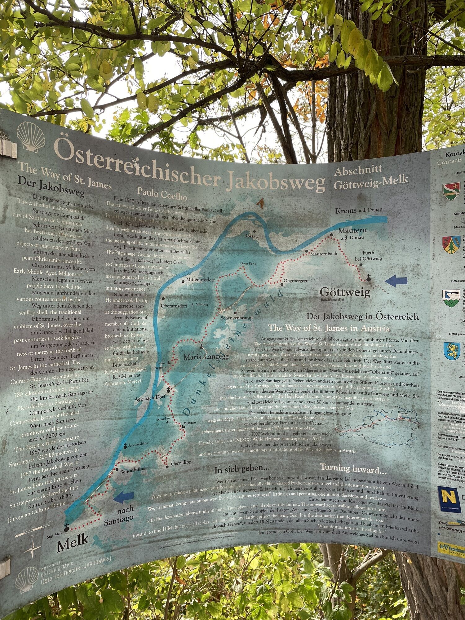
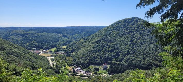
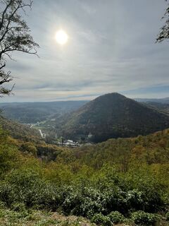
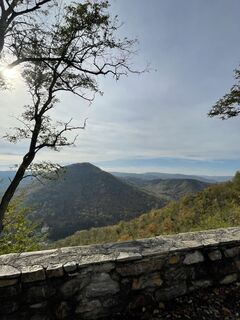
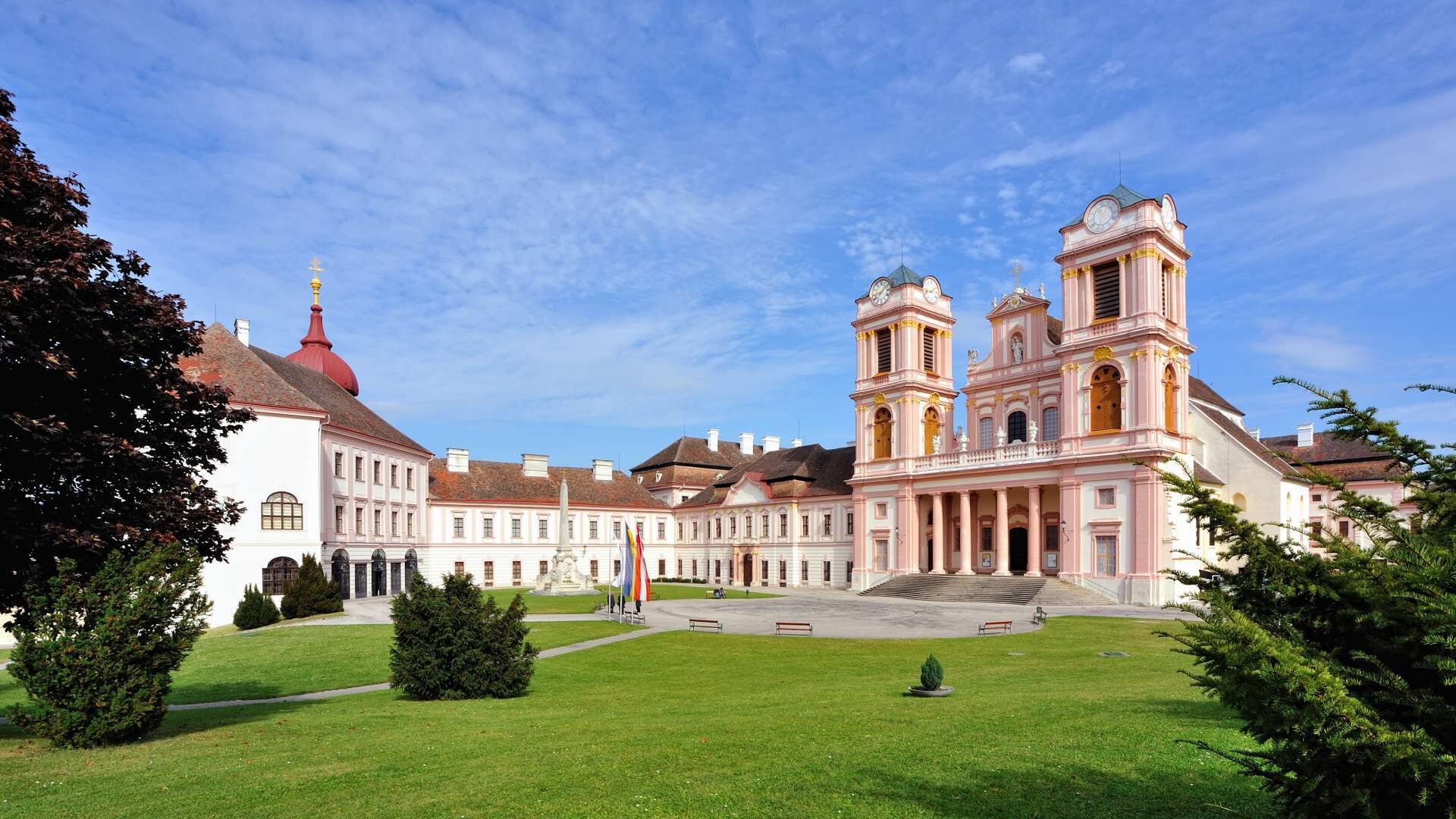
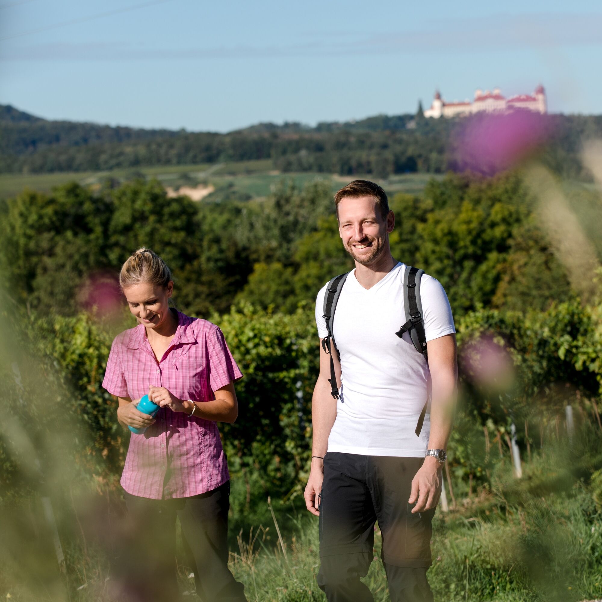
The stage Furth – Paudorf offers a bit of everything: nature, history, wonder. Already the first section of the hike presents itself with an impressive panoramic view over the Danube and the Kremstal....
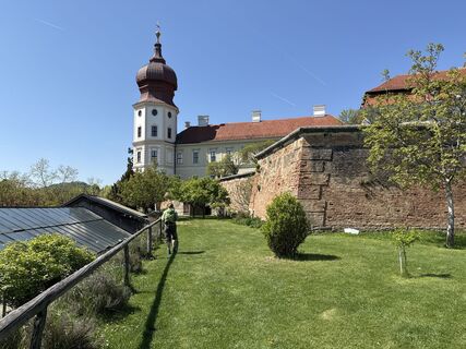
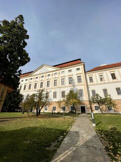
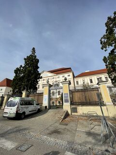
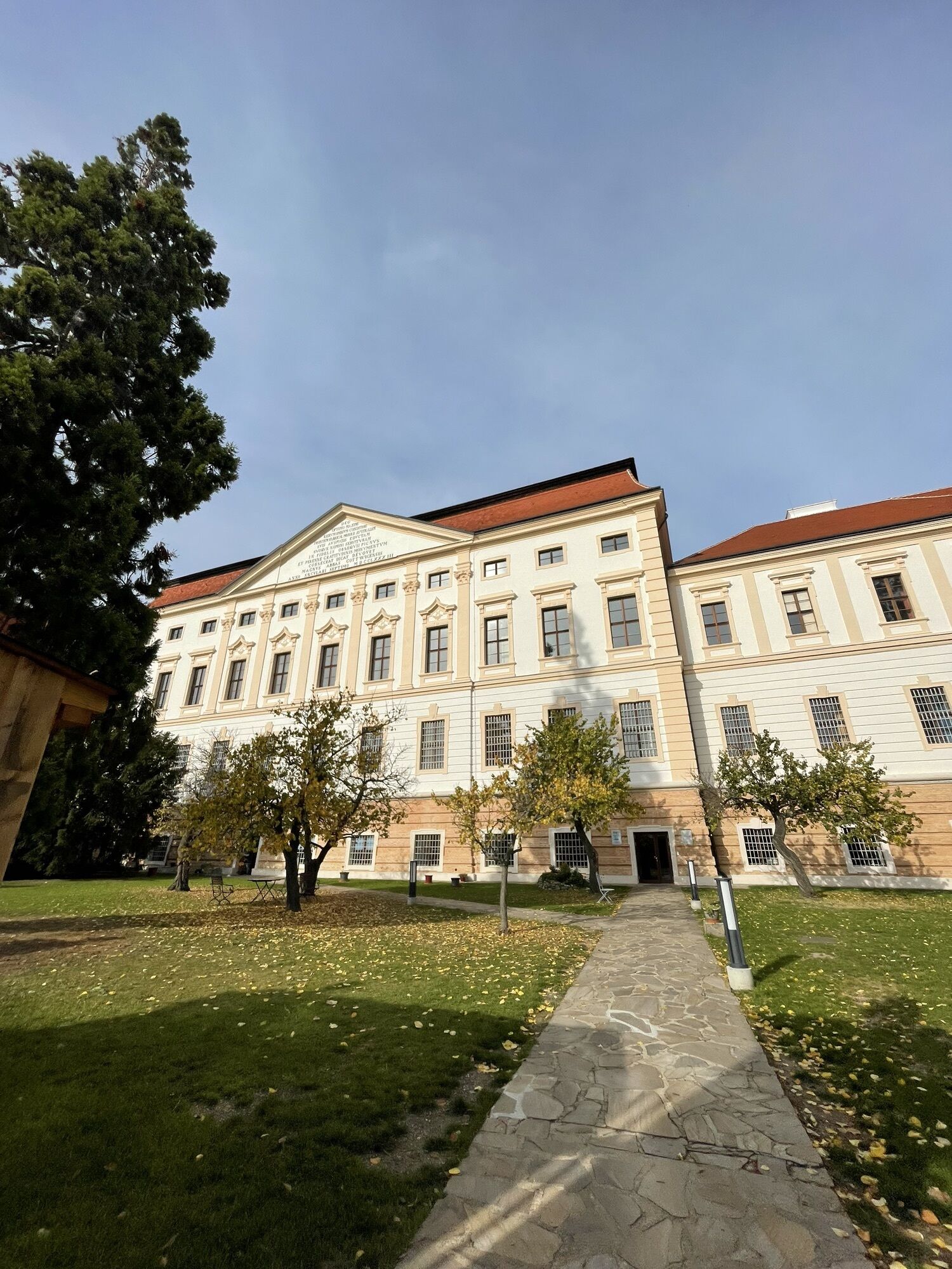
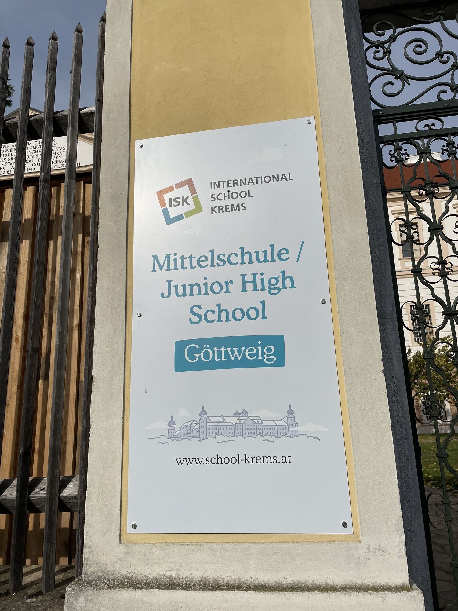
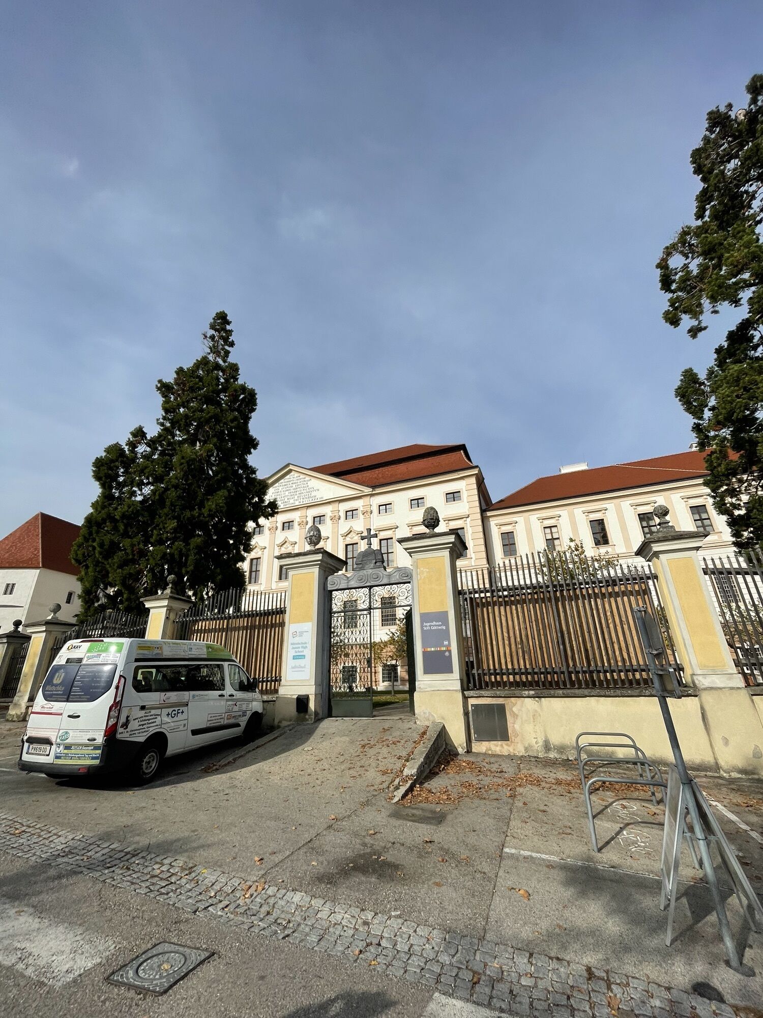
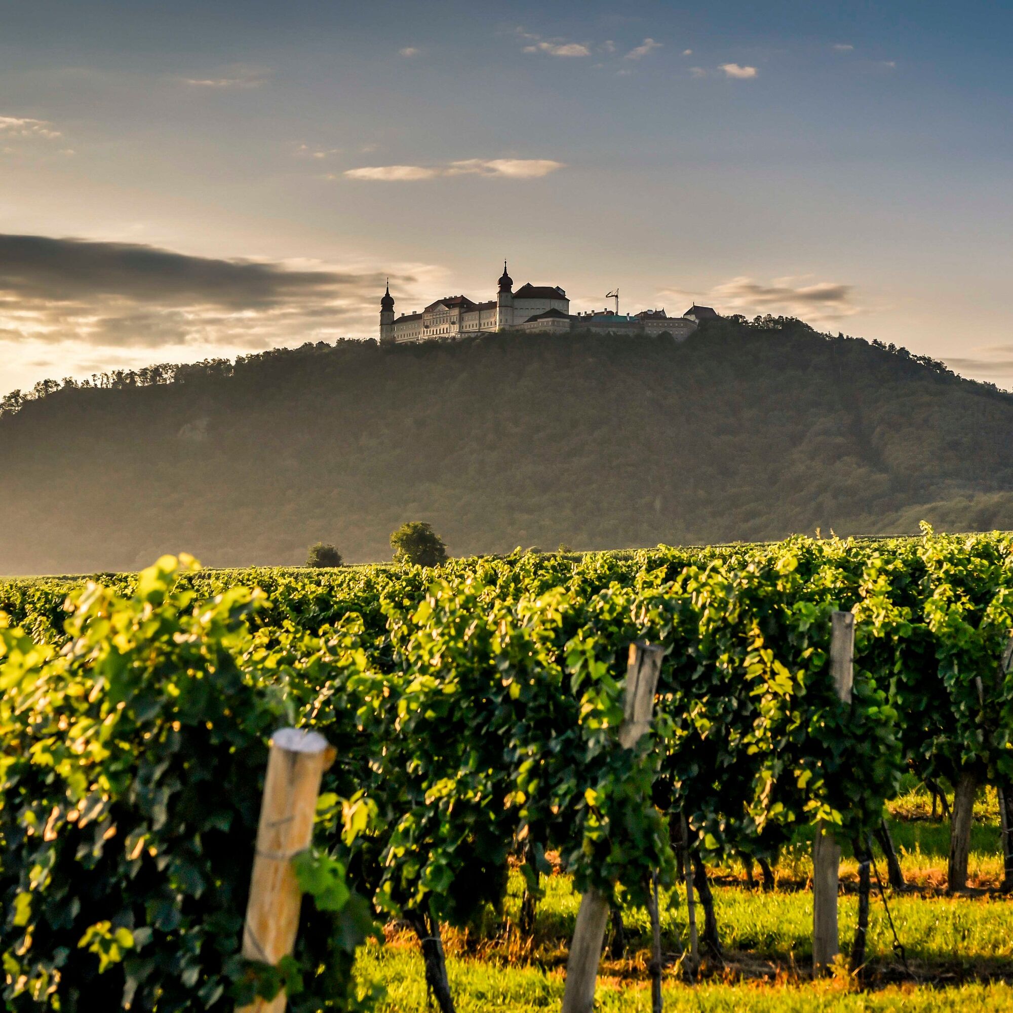
The stage Furth – Paudorf offers a bit of everything: nature, history, wonder. Already the first section of the hike presents itself with an impressive panoramic view over the Danube and the Kremstal. But the UNESCO World Heritage Site Göttweig Abbey also impresses along the way. With its baroque architectural style and the special location on Göttweig Hill, the monastery creates a special atmosphere all its own. For another historical facet, a short detour to the highest point of the hill is also worthwhile. There lies the foundation of the church of St. George, built in the tenth century. The further route of the tour leads to Klein-Wien, past the filial church of St. Blasien with a picturesque mountain cemetery. Then the stage reaches its destination Paudorf. Another nature experience to conclude the hike awaits there: the forest educational trail with its impressive sequoias, which are unique in Austria for their size.

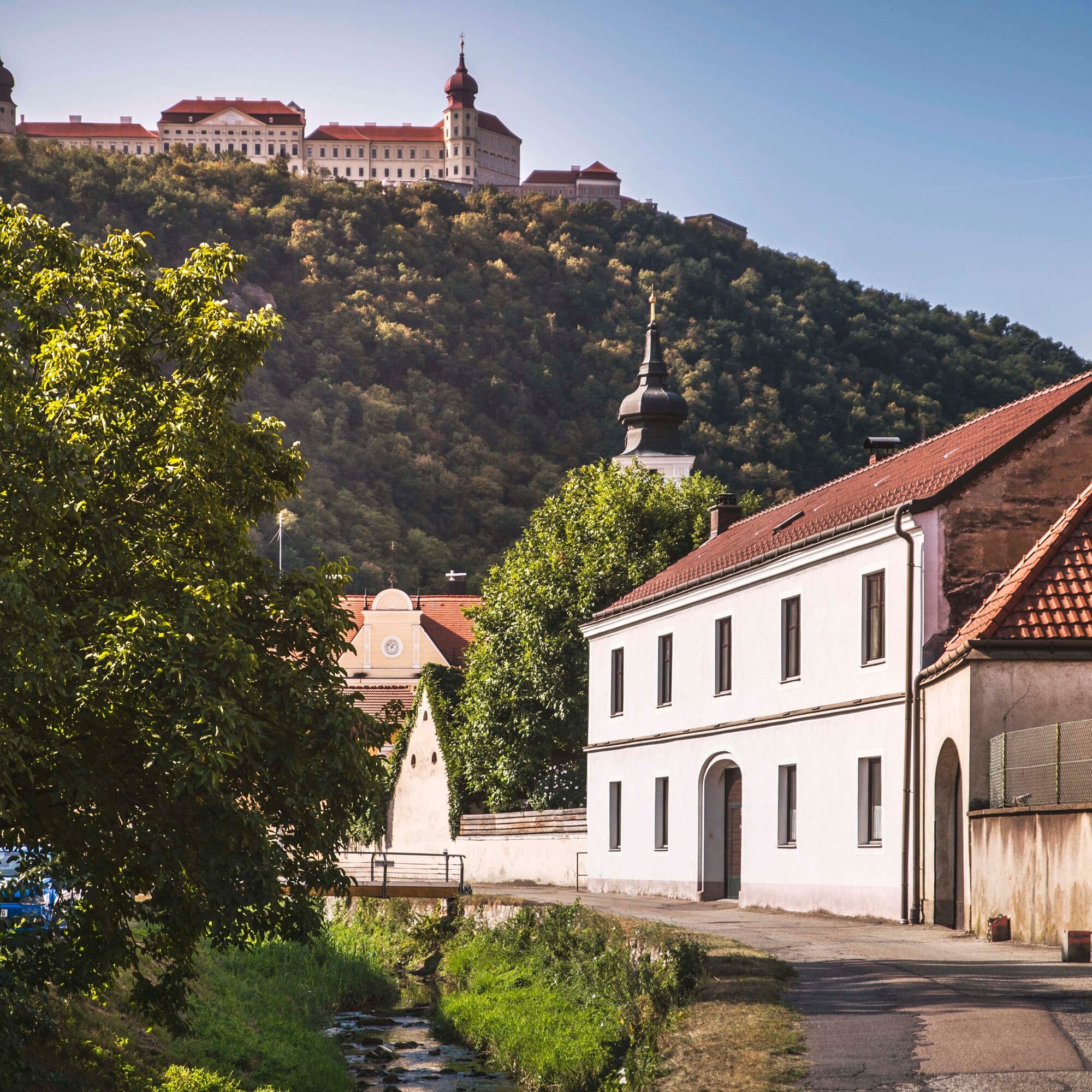

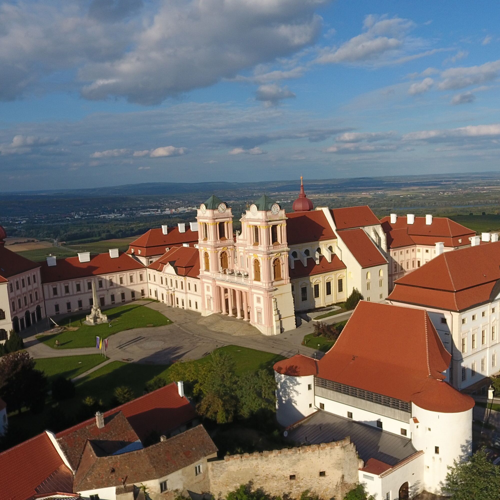
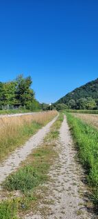
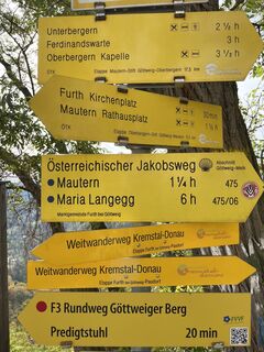
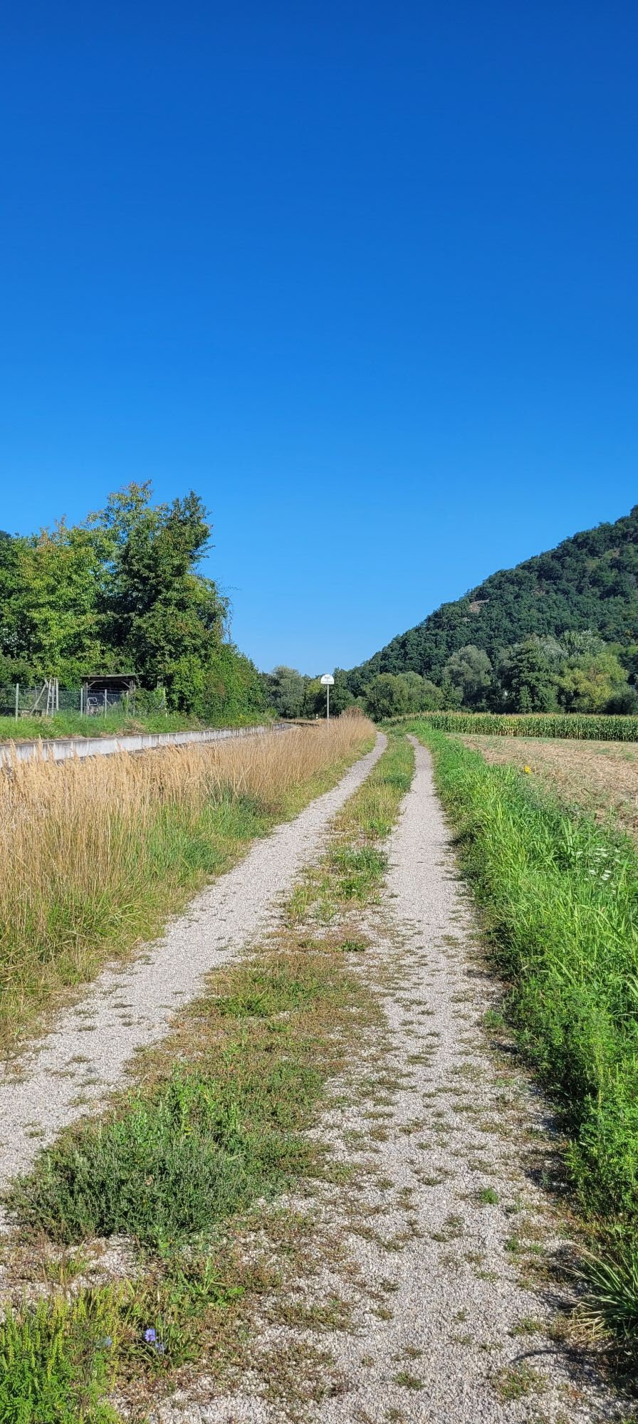
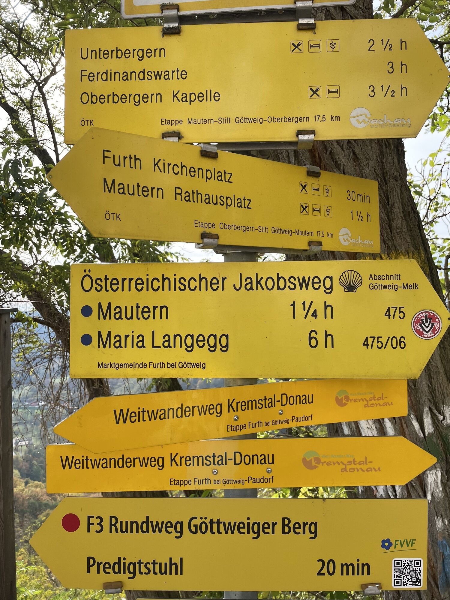
From the Furth municipal office, we follow Obere Landstraße before turning right onto Villenweg, where the trail marking to the Benedictine Abbey Göttweig, the "Montecasino of Austria," already shows us the way. From here, the path steadily ascends slightly toward Göttweig Abbey. At the top, a detour to the north side of the abbey is rewarded with a magnificent view of the Danube, the Kremstal, and the Wachau. Our path, however, passes south and leads into Steinweg at the end of the parking lot, which runs along the southern slope of Göttweig Hill to Klein-Wien. Passing the Schickh Inn, we cross the tracks and immediately afterwards the main road before hiking up to the filial church. We must pass behind the church and cemetery and arrive on a quiet forest path at the first residential houses of Paudorf. We then continue along Untere Zellerstraße to Bahnhofstraße, turn left onto it, then right past the train stop to the playground, where we turn left again, passing the sports fields to the town center, the stage end.
We recommend as equipment:
hiking boots backpack weatherproof clothing (e.g. rain protection) headgear sun protection adequate provisions (water, snacks) hiking map long-distance trail Kremstal-Danube and/or mobile tour planner
Please note the following tips and notes to make your hiking holiday a beautiful experience:
Stay on the marked trails and wear mountain/hiking boots. Please do not leave your trash on the path. Carry sufficient provisions (water/snacks) with you. Take the hiking map with you or use the free hiking app. Respect the sensitive habitats of plants and animals.
The use of the suggested routes is at your own risk and responsibility.
Arrival by car from Vienna via the A22 and S5 is about 70 km and takes about one hour.
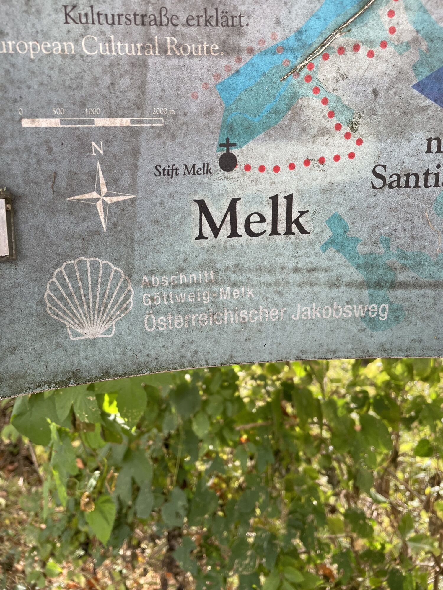
From Melk via the Wachau on the B3 it is about 40 km and 40 minutes driving time.
The approach from St. Pölten via the S33 is about 35 km and a driving time of about 25 minutes should be calculated.
Furth is easily accessible by public transport by train or bus, as well as by car. No matter if you are coming from Vienna, St. Pölten, or via the Wachau.
Furth train station
All information about the stages can be found at www.kremstal.at . The "Kremstal-Donau long-distance hiking trail" hiking map can be requested free of charge from Donau NÖ Tourismus GmbH by telephone on 02713-30060-60 or downloaded from the brochure shop at www.donau.com/brochure will.
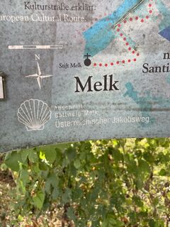
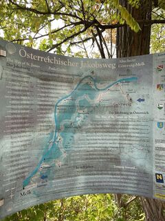
The UNESCO World Heritage Site Benedictine Abbey Göttweig towers conspicuously on the eastern edge of the world-famous Wachau.
A detour to the sequoias is worthwhile. (approx. 3.5 km round trip, walking time approx. 1 hour).
Obľúbené výlety v okolí
-
4,5
Welterbesteig Wachau 02: Dürnstein-Weißenkirchen
svetlodiaľková pešia trasa 15,9 km -
4,9
Vogelbergsteig -Kanzel- Fesselhütte - Ruine Dürnstein zum Heurigen in Furth
strednáTuristika 7,59 km -
4,8
"Dürnstein Trail" - Die landschaftlich und architektonische Schönheit der Wachau erleben.
svetloTuristika 6,95 km -
4,6
Wachau: Seekopf - Hirschwand
strednáTuristika 10,4 km -
4,4
Wachau: Zur Ruine Dürnstein über den Vogelbergsteig
strednáTuristika 5,80 km -
4,8
Burgruine Dürnstein - Fesslhütte - Vogelbergsteig
strednáTuristika 5 km -
4,4
Vogelbergsteig Dürnstein
strednáTuristika 3,92 km -
4,6
Svetové kultúrne dedičstvo Welterbesteig Wachau 03.Weißenkirchen – Spitz
strednádiaľková pešia trasa 10,5 km -
4,5
St. Michael-Rundweg
strednáTuristika 7,05 km -
4,4
Panoramaweg Weissenkirchen
svetloTuristika 5,04 km
Turistika a stopovanie


Nenechajte si ujsť ponuky a inšpiráciu na ďalšiu dovolenku
Vaša e-mailová adresa bol pridaný do poštového zoznamu.