


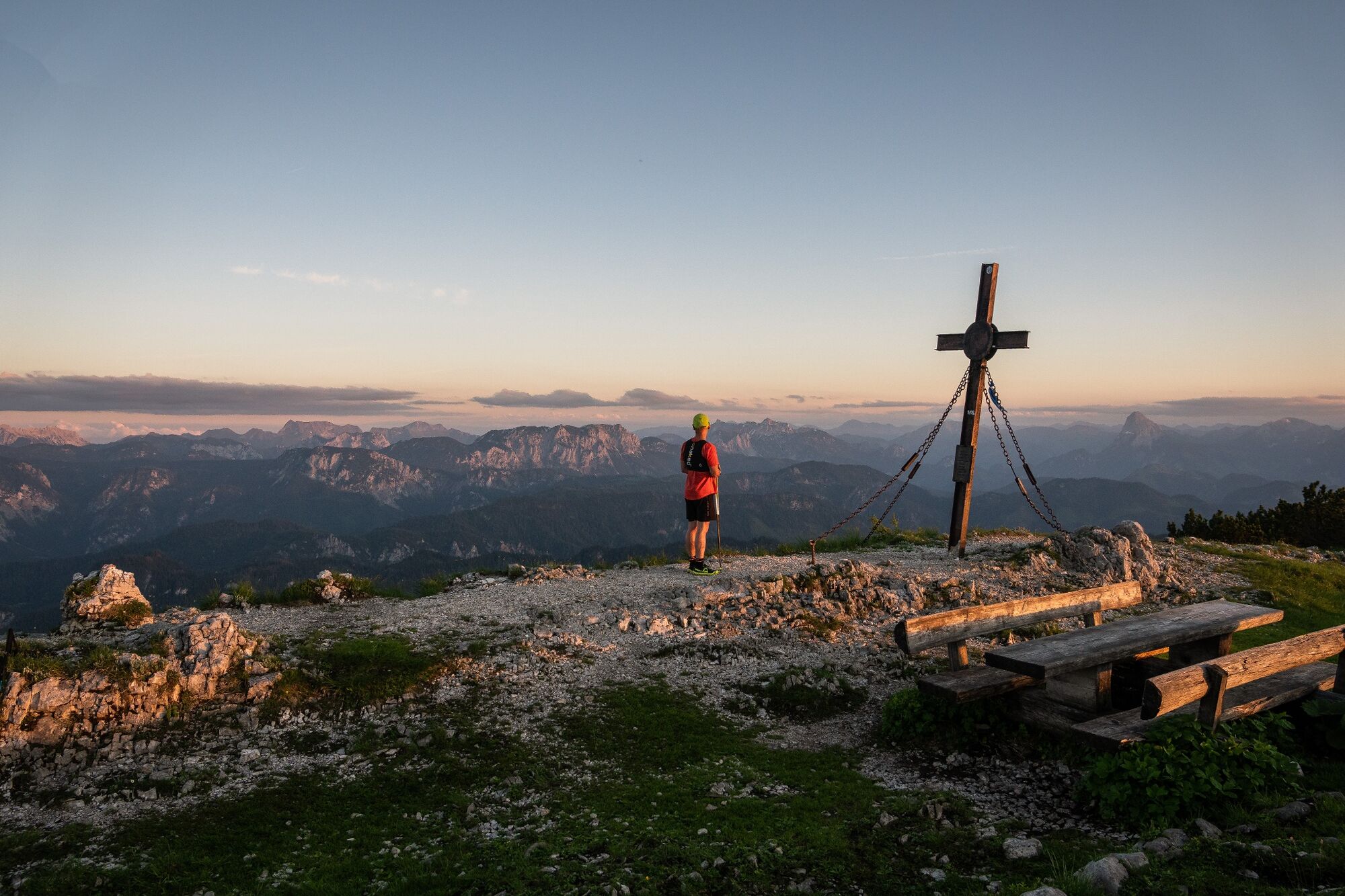
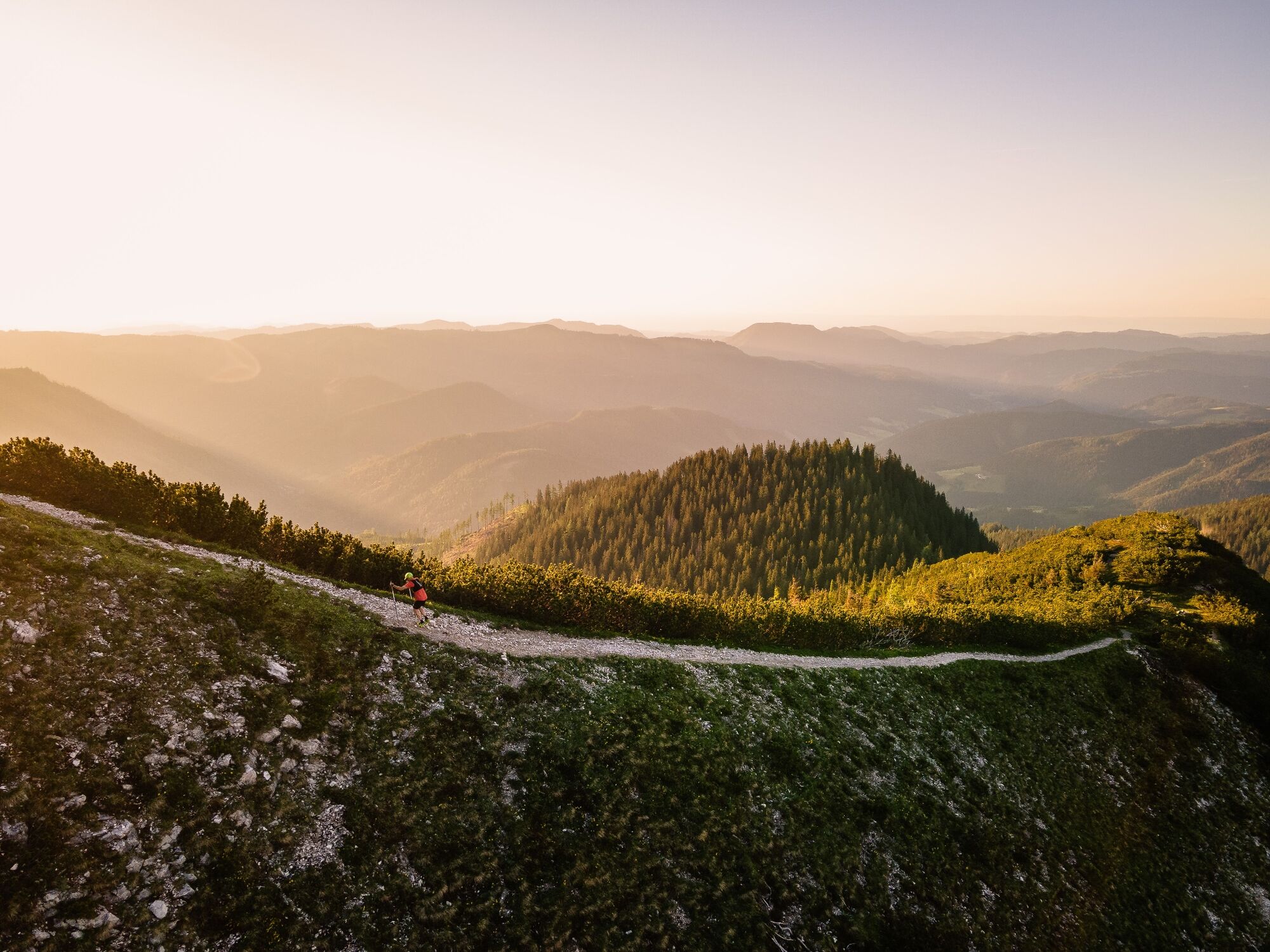
Hochkar valley station - Hochkar summit
Úroveň náročnosti: 2


Fotografie našich používateľov
-
 © Raphael WimmerVytvorené dňa 06.11.2023
 -
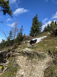
 © Filip TesarčíkVytvorené dňa 05.09.2023
 -
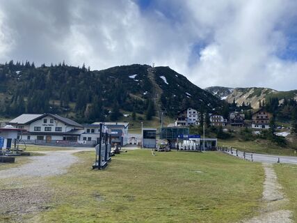
 © Philipp RafelsbergerVytvorené dňa 09.09.2025
 -
 © Monika RöskaVytvorené dňa 27.08.2025
 -
 © Monika RöskaVytvorené dňa 27.08.2025
 -
 © Monika RöskaVytvorené dňa 27.08.2025
 -

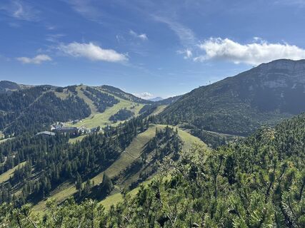
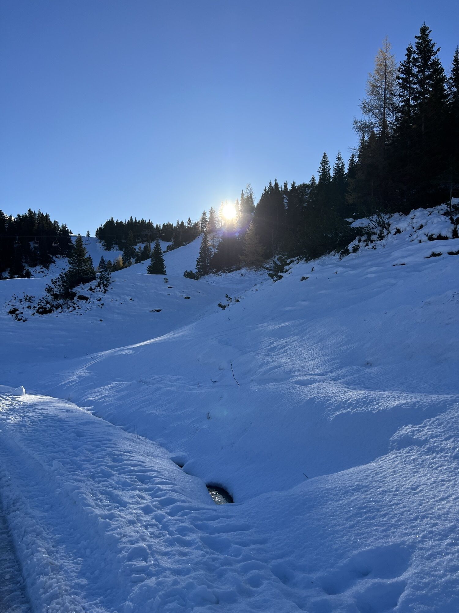
 © Rudolf LinkVytvorené dňa 15.08.2025
 -
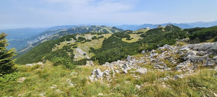
 © Rudolf LinkVytvorené dňa 15.08.2025
 -
 © Rudolf LinkVytvorené dňa 15.08.2025
 -
 © Rudolf LinkVytvorené dňa 15.08.2025
 -
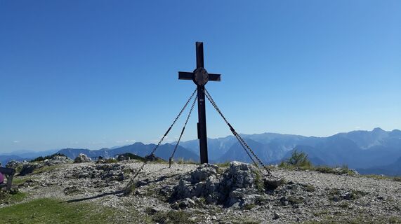
 © Raphael RiedlerVytvorené dňa 10.07.2025
 -
 © Raphael RiedlerVytvorené dňa 10.07.2025
 -
 © BButchVytvorené dňa 09.03.2025
 -
 © BButchVytvorené dňa 09.03.2025
 -
 © BButchVytvorené dňa 08.03.2025
 -
 © BButchVytvorené dňa 08.03.2025
 -
 © Florian GerlVytvorené dňa 06.10.2024
 -
 © Florian GerlVytvorené dňa 06.10.2024
 -
 © Florian GerlVytvorené dňa 06.10.2024
 -
 © Florian GerlVytvorené dňa 06.10.2024
 -
 © Florian GerlVytvorené dňa 06.10.2024
 -

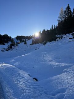
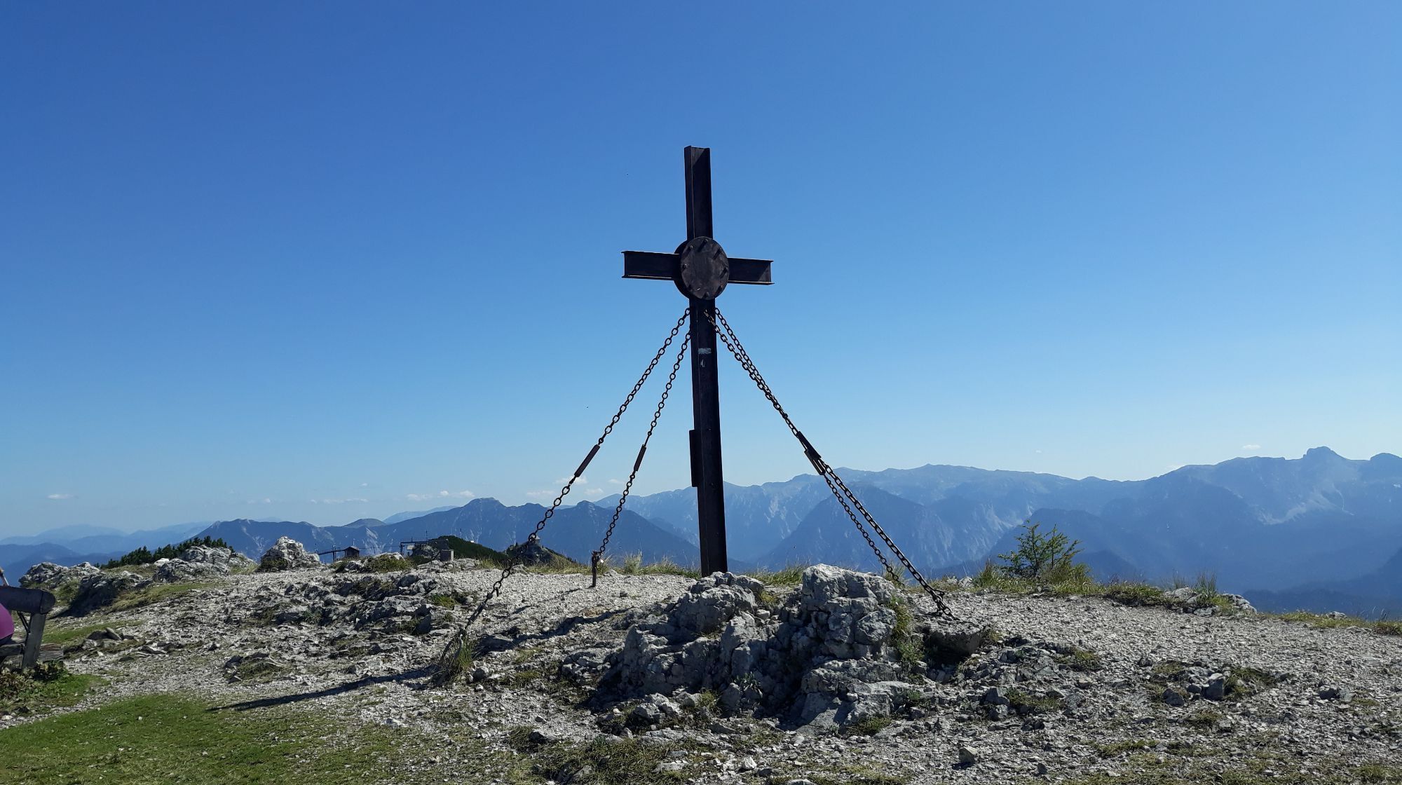
 © Klaus LehnerVytvorené dňa 02.03.2024
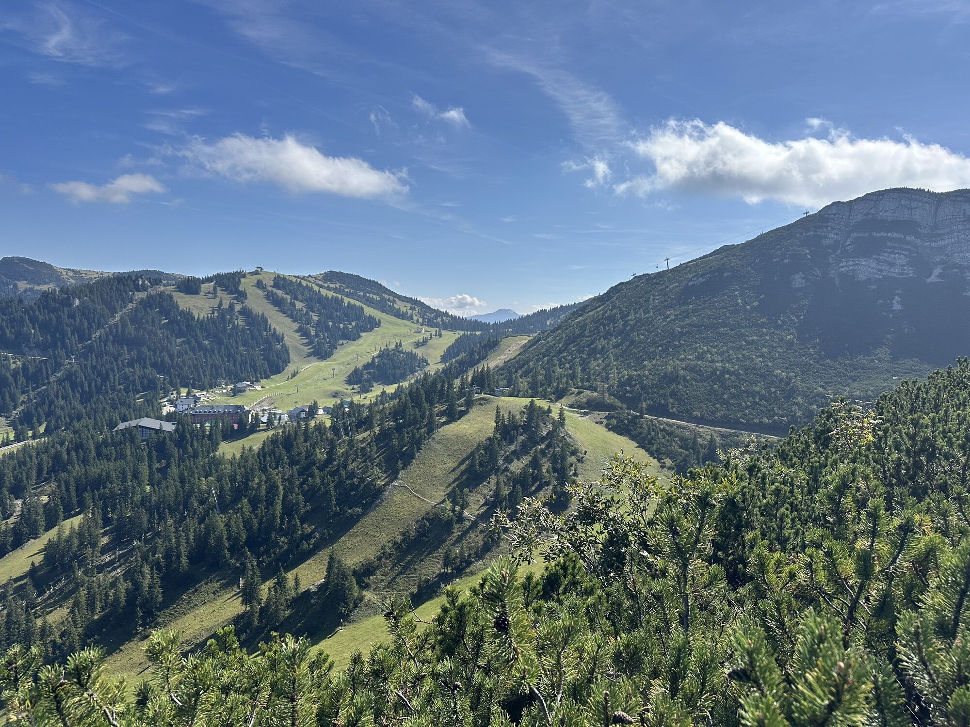

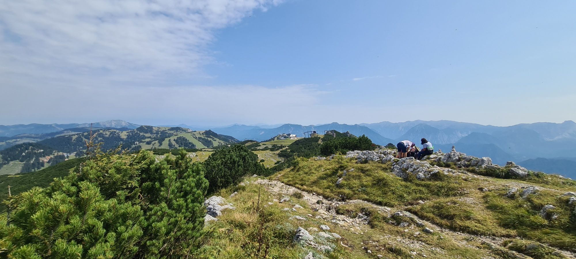
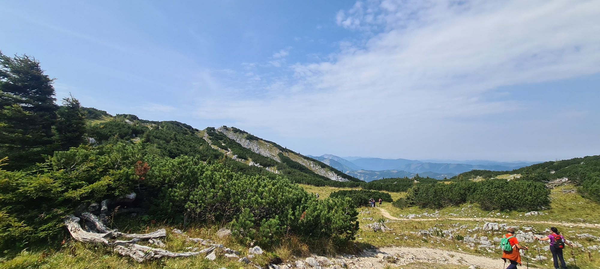
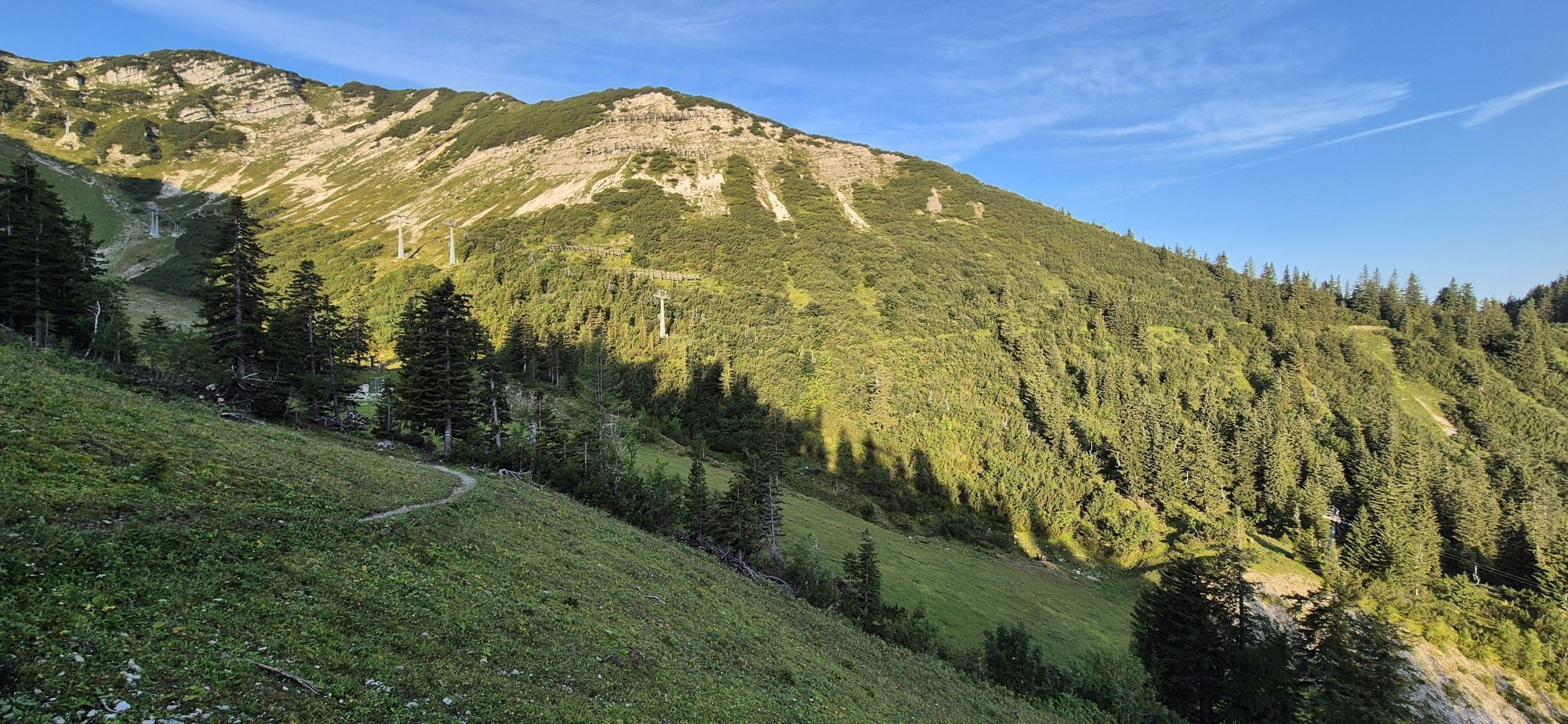


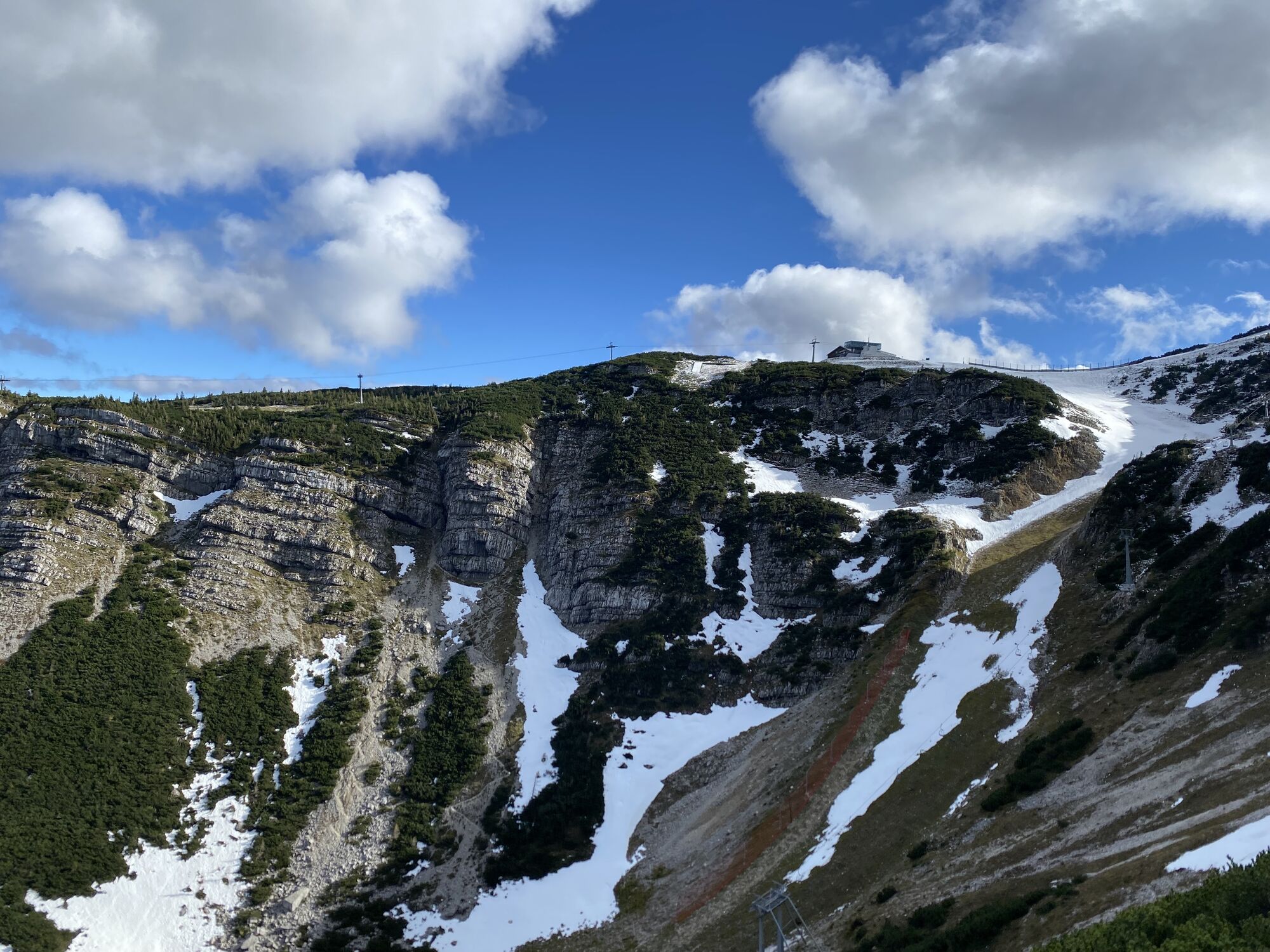
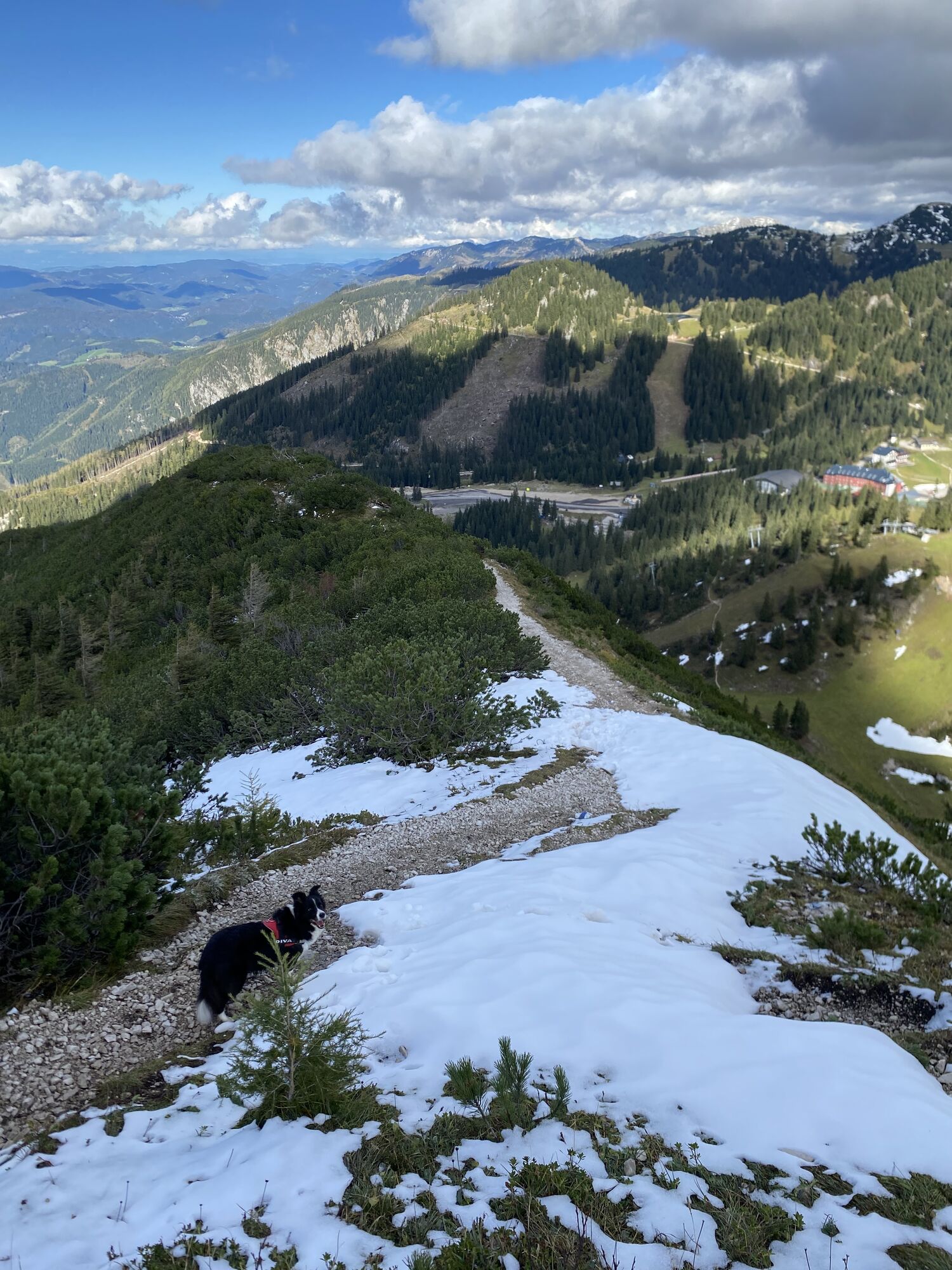

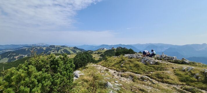
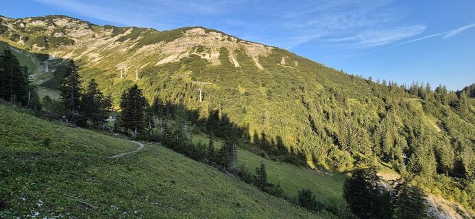
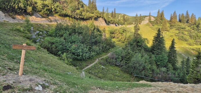
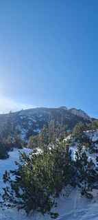
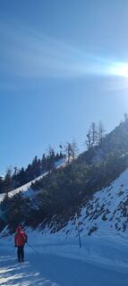
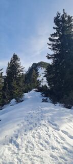
From the parking lot, walk on rolling terrain west towards the Draxlerloch piste. Cross this and shortly after reach the Scheinecksattel. From here the trail gets noticeably steeper. Upon reaching the...
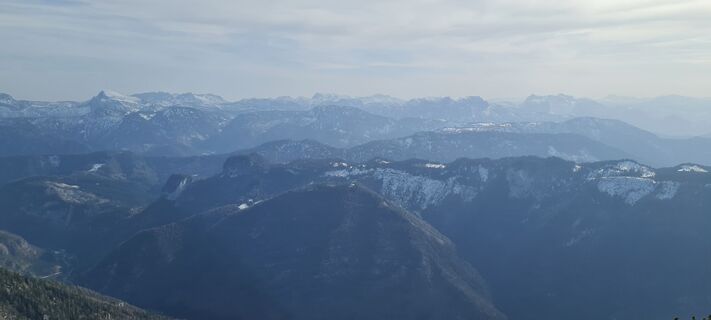
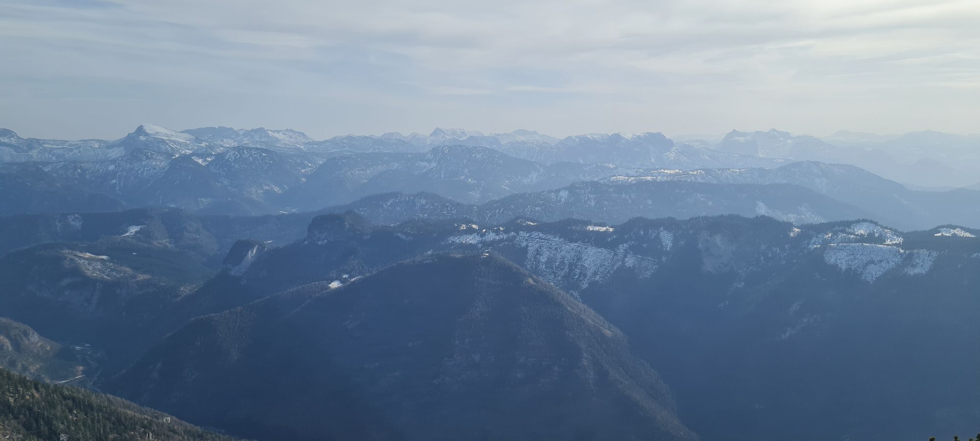
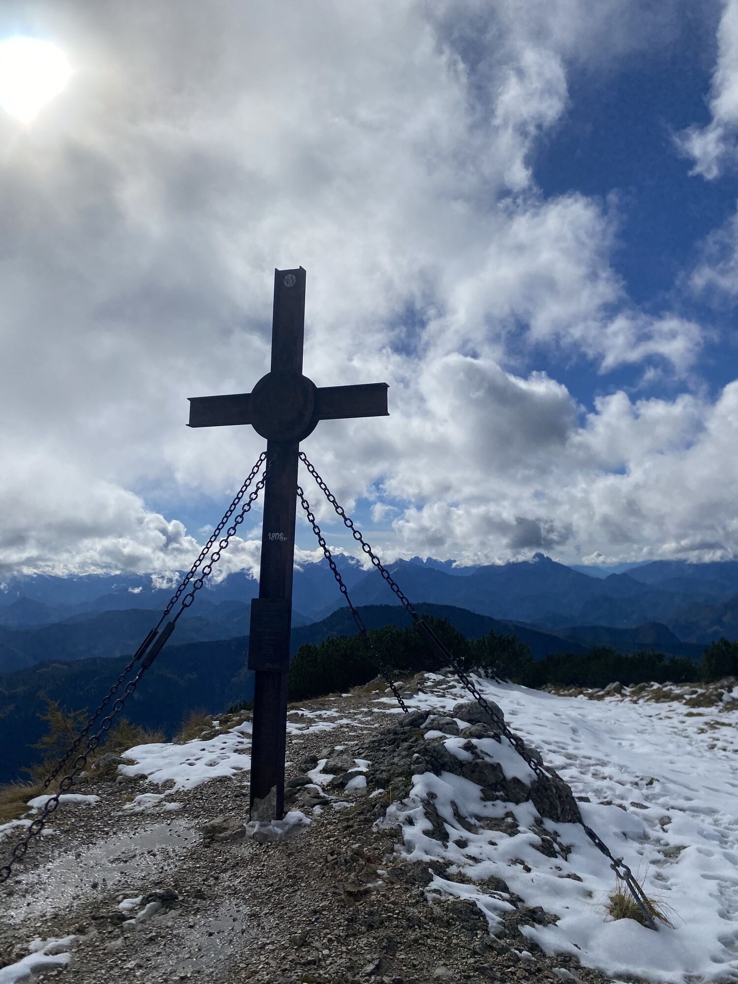
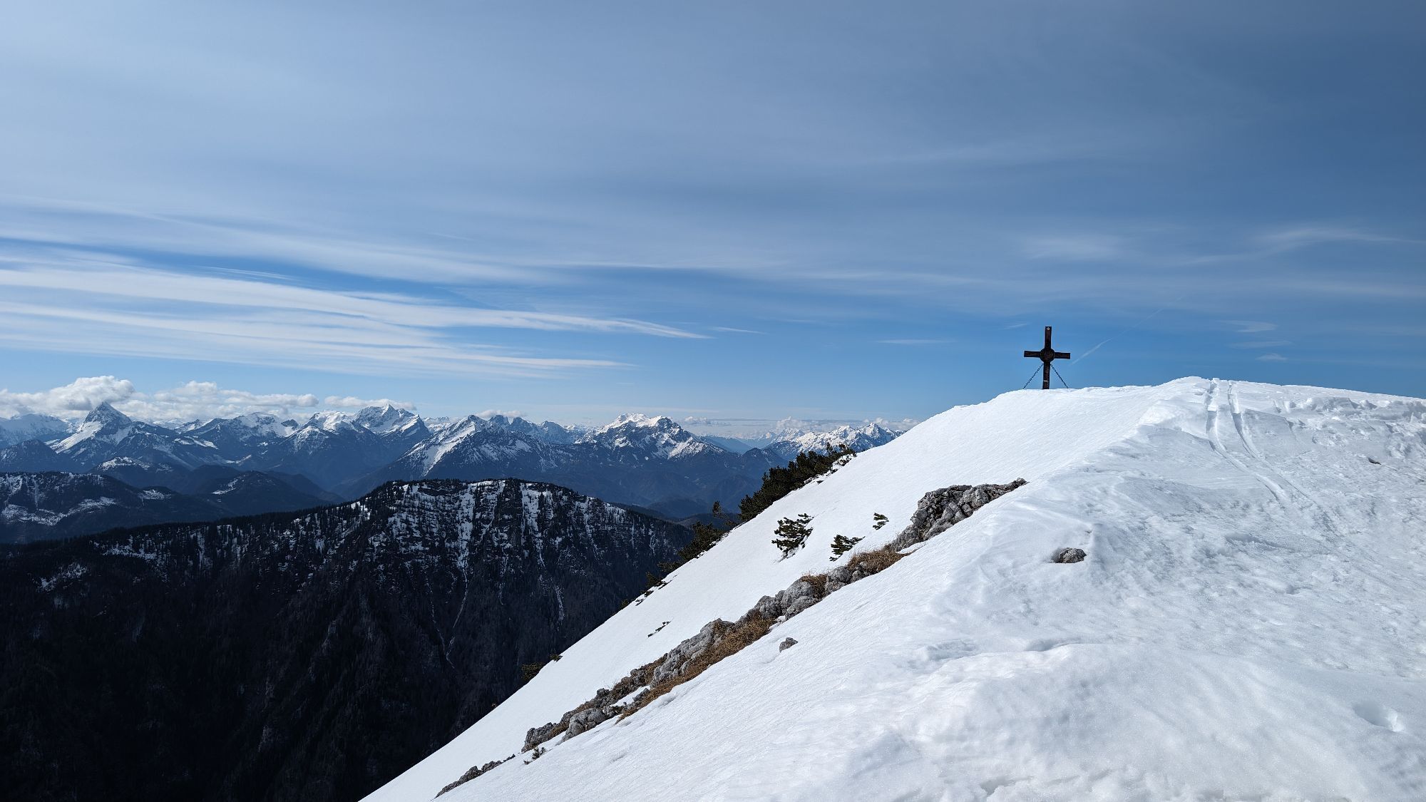
From the parking lot, walk on rolling terrain west towards the Draxlerloch piste. Cross this and shortly after reach the Scheinecksattel. From here the trail gets noticeably steeper. Upon reaching the ridge path, turn right. The trail flattens and a final ascent leads to the summit. An impressive panorama awaits as a reward. For the descent, follow the ascent route.

Áno
Trailrunning shoes, possibly poles. Trailrunning backpack with supplies and first aid kit, emergency blanket, mobile phone, rain and sun protection.
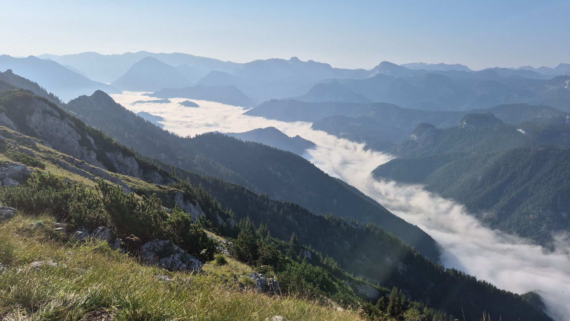
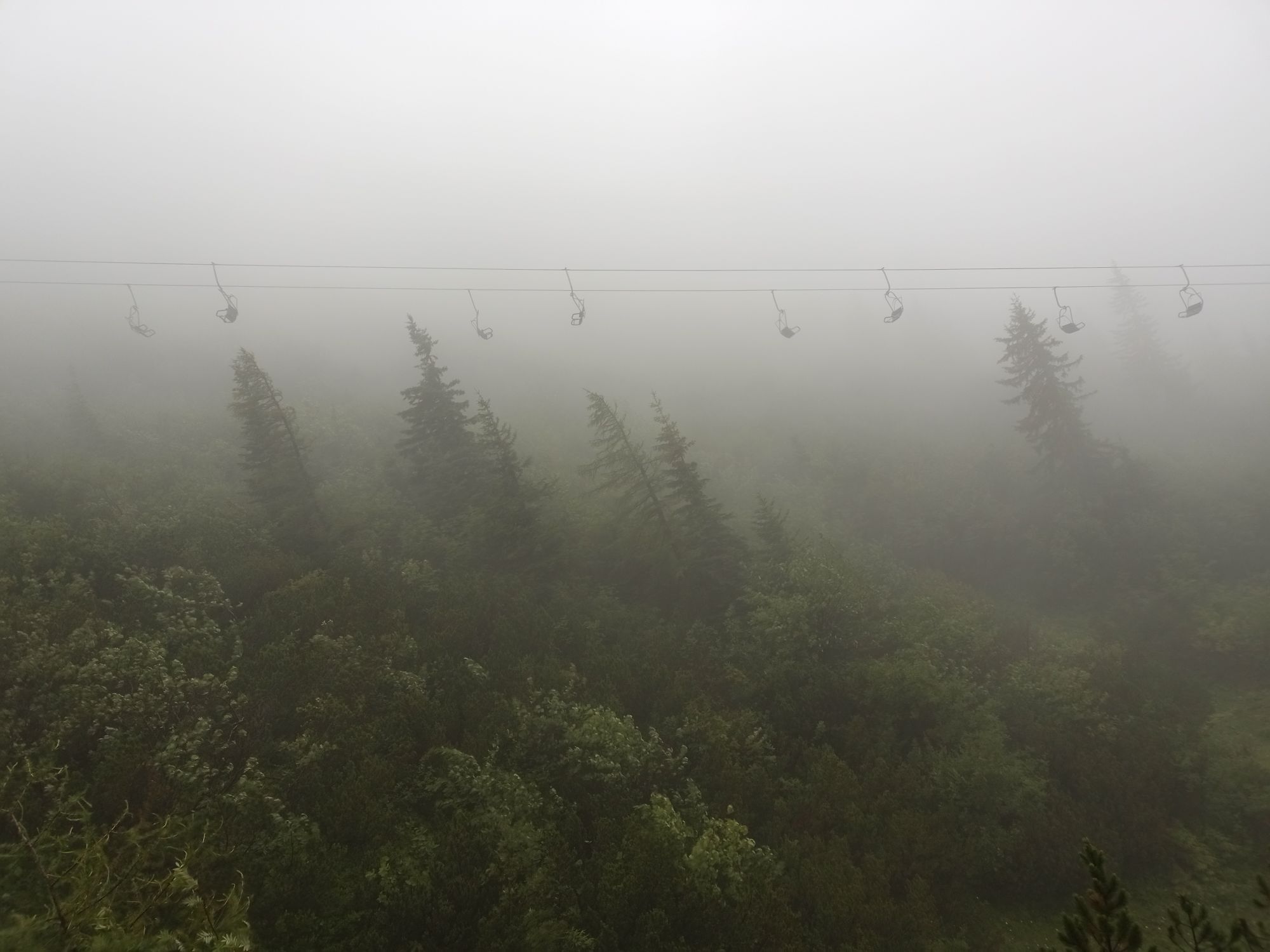
High alpine terrain!
1. Please avoid the trails during night and twilight hours (animal feeding time).
2. Behave quietly and attentively, avoid contact with grazing cattle.
3. Show consideration for flora and fauna and treat people working here, nature, and animals with respect.
4. Observe general warning signs (e.g., restricted area signs). Respect fences and close gates again.
5. Be cautious in extreme weather, seek shelter or turn back if necessary.
6. Please take your trash with you again.
Göstling - Lassing - Hochkar Alpine road, 9km, max. 17%
VOR line to the Hochkar
Fee required, Hochkar valley station
2
Tourism IG Ybbstaler Alps
Göstling 46/2
3345 Göstling an der Ybbs
www.ybbstaler-alpen.at/trailrunning
info@ybbstaler-alpen.at
43-5-93049
In very steep sections, press your hands on your thighs.
Obľúbené výlety v okolí
-
4,8
Lechner Graben - Ybbstaler Hütte
strednáTuristika 14,2 km -
4,3
Palfauer Wasserlochklamm
strednáTuristika 1,78 km -
4,9
Kurzeck- Siebenhütten- Turnhöhe- Kitzhütte Göstling an der Ybbs, Österreich
svetloTuristika 12,8 km -
4,5
Hochkar - Schmalzmauer - Geißhöhe - Ringkogel - Schwarzalmhütte - Brunneckerhütte
strednáTuristika 13,2 km -
4,9
Wasserlochklamm-Palfau
strednáTuristika 3,48 km -
3,7
HOCHKAR Parkplatz Blachlboden Leckerplan Geischlägerhaus Hochkar Scheinecksttl. ret. 23.08.2018
svetloTuristika 8,30 km -
4,3
Hollenstein Stupfmauer Voralpe Tanzboden retour 20.08.2016
strednáTuristika 15,6 km -
4,0
Hochschwab: Auf die Riegerin
strednáTuristika 9,16 km -
3,6
Von Lassing auf das Hochkar 18.07.2015
strednáTuristika 10,3 km -
4,0
Hochkarrunde Lassing, Niederösterreich
svetloTuristika 9,33 km
Turistika a stopovanie


Nenechajte si ujsť ponuky a inšpiráciu na ďalšiu dovolenku
Vaša e-mailová adresa bol pridaný do poštového zoznamu.