


Saurüsselrunde via Breitenau
Úroveň náročnosti: 2


Fotografie našich používateľov
-

 © MártiVytvorené dňa 27.09.2025
 -
 © MártiVytvorené dňa 27.09.2025
 -
 © MártiVytvorené dňa 27.09.2025
 -
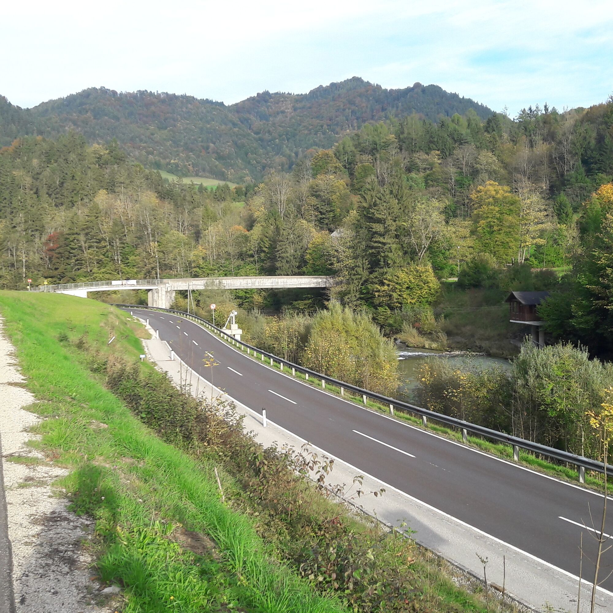
 © schoenfalterVytvorené dňa 03.05.2025
 -
 © schoenfalterVytvorené dňa 03.05.2025
 -
 © schoenfalterVytvorené dňa 03.05.2025
 -
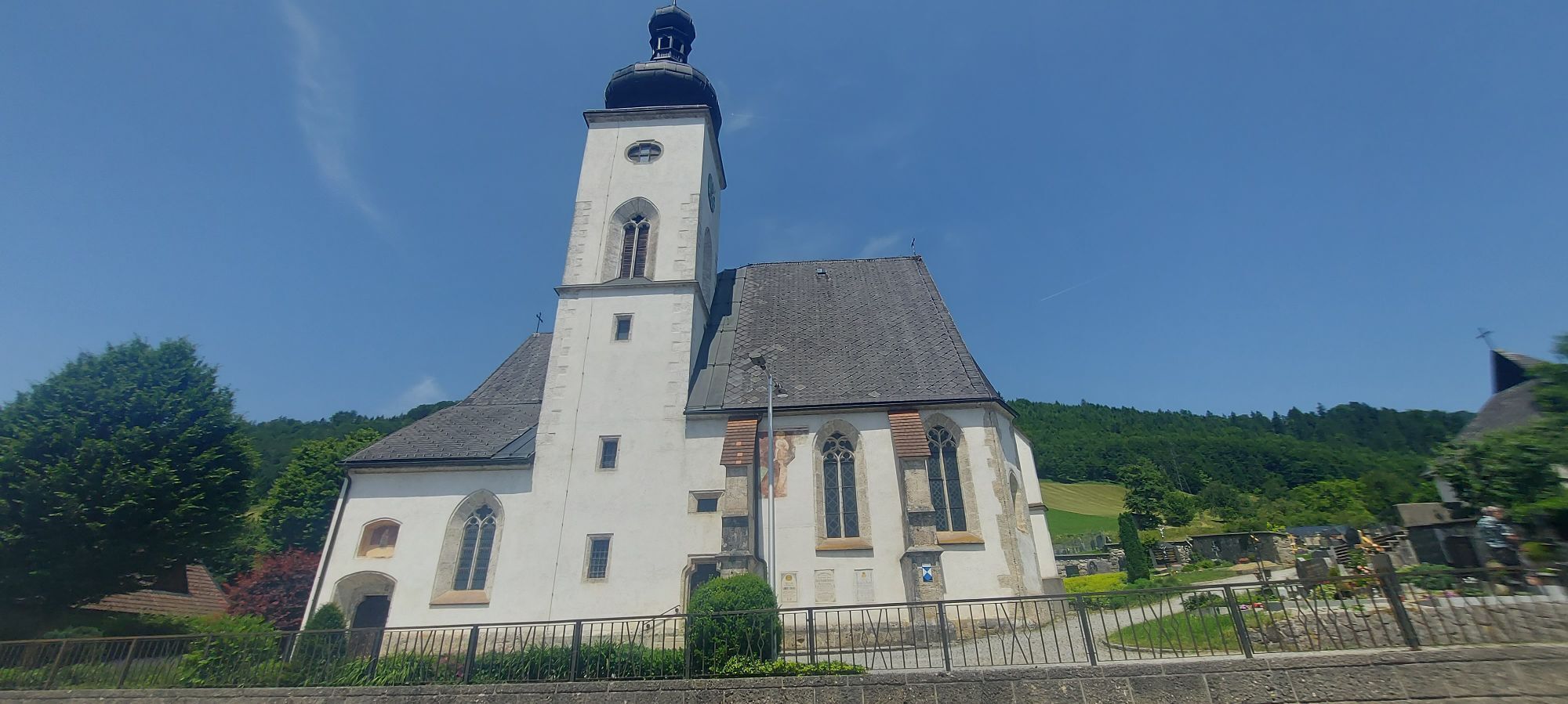
 © Christian2012655Vytvorené dňa 01.11.2022
 -
 © Christian2012655Vytvorené dňa 01.11.2022
 -
 © Christian2012655Vytvorené dňa 01.11.2022
 -
 © Christian2012655Vytvorené dňa 01.11.2022
 -
 © Christian2012655Vytvorené dňa 01.11.2022
 -
 © Christian2012655Vytvorené dňa 01.11.2022
 -
 © Christian2012655Vytvorené dňa 01.11.2022
 -
 © Christian2012655Vytvorené dňa 01.11.2022
 -
 © Christian2012655Vytvorené dňa 01.11.2022
 -

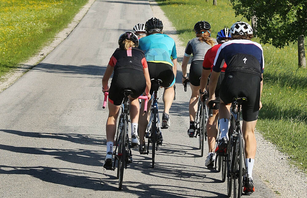
 © Klaus Gruber 3Vytvorené dňa 15.06.2025

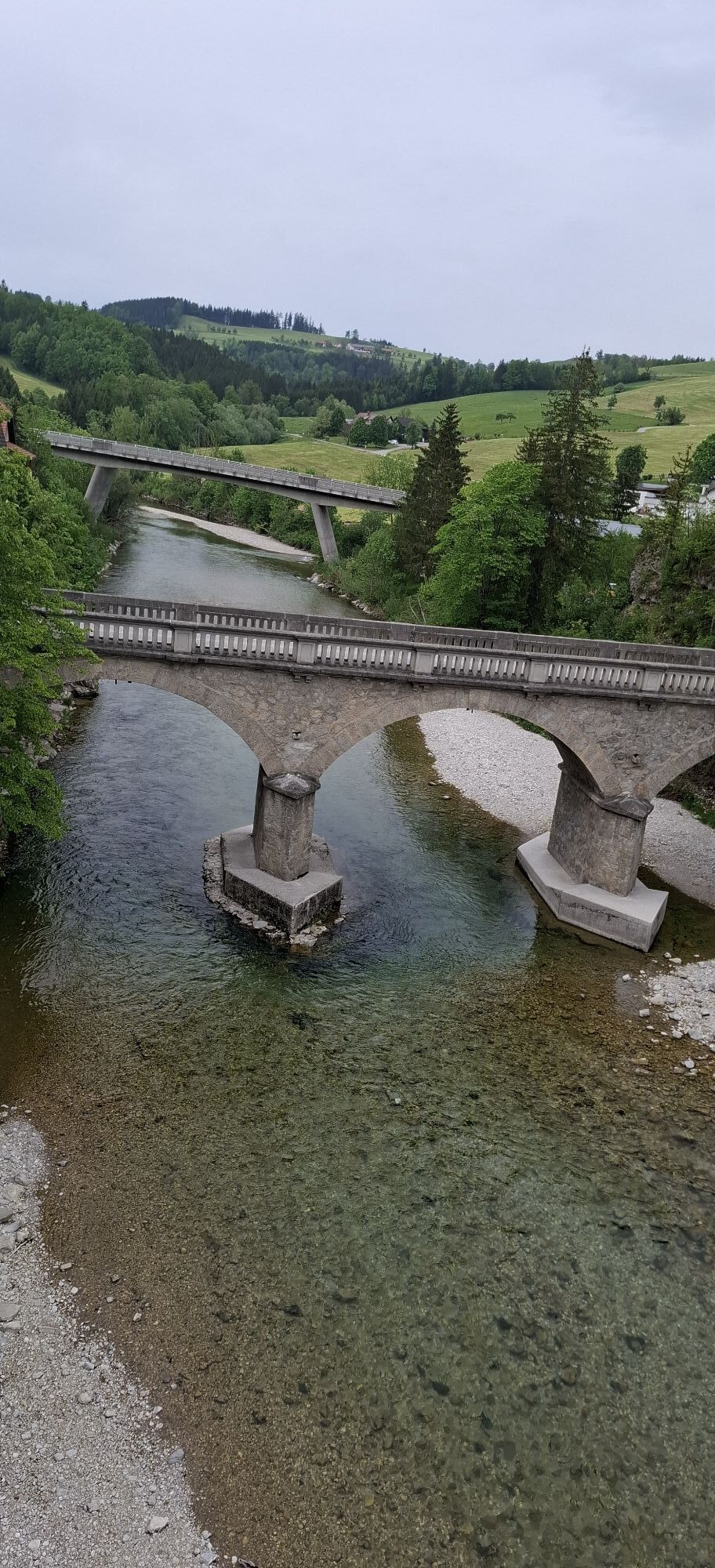


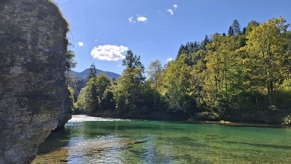
After starting in Waidhofen an der Ybbs, the route initially goes always upstream along the Ybbs, without significant climbs.
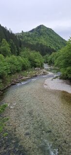
From Klein-Hollenstein begins the pleasant climb up the "Saurüssel". A few...
After starting in Waidhofen an der Ybbs, the route initially goes always upstream along the Ybbs, without significant climbs.
From Klein-Hollenstein begins the pleasant climb up the "Saurüssel". A few curves, always in the loose single-digit percent range (or alternatively and somewhat steeper the "old Saurüssel road" -> here turn left right at the start of the climb (small bridge) and follow the climb, the road later merges into the original descent) before the descent follows up to shortly before Weyer.
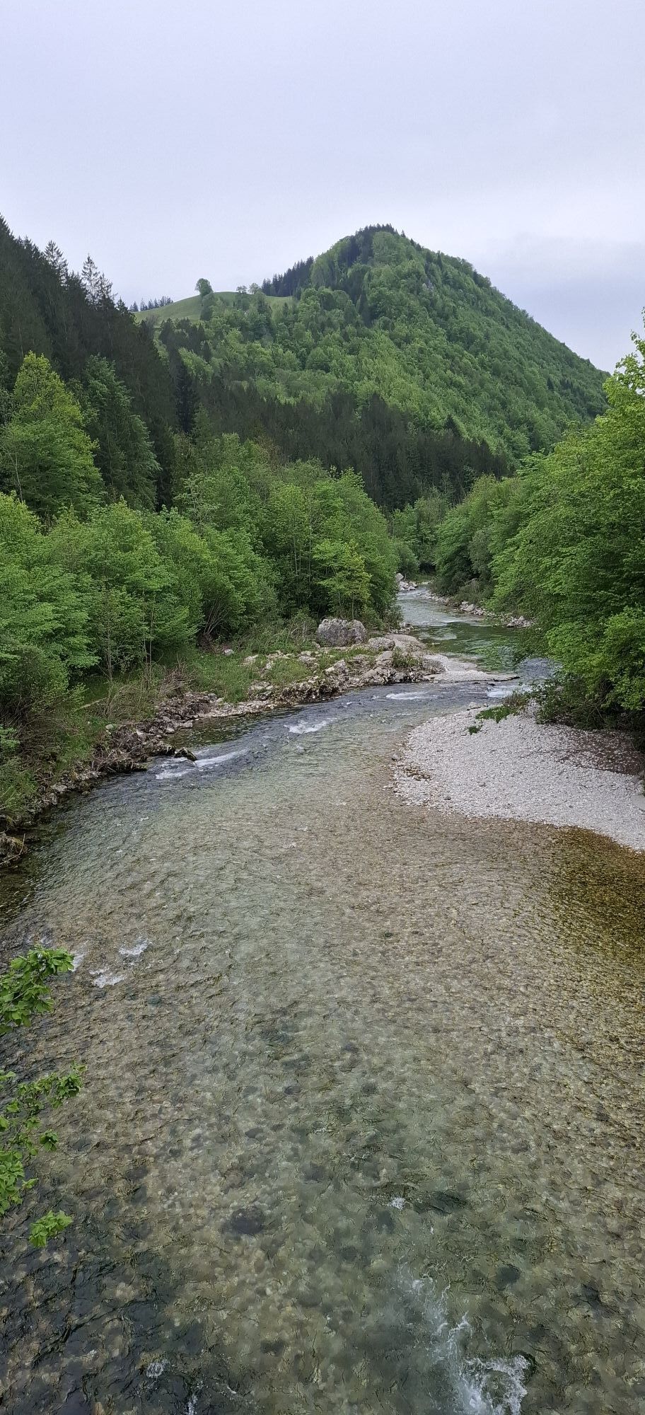
Here we turn very sharply right (almost a U-turn) in a long left curve (at the road maintenance yard) and ride towards Breitenau. The climb is briefly very steep, but soon levels off and finally leads in short ramps to the highest point - a small high plateau. We quickly descend further to Gaflenz where we meet the B121 again and cycle back to Waidhofen via Oberland.

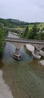
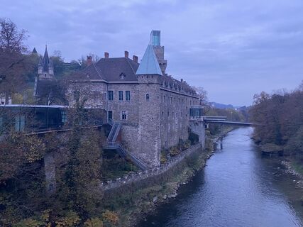
Waidhofen an der Ybbs/Schlosshotel - exit through the district Zell - Schmiedestraße - Schwellöd Bridge - left onto the B31 towards Opponitz/Hollenstein - Gstadt - right towards Opponitz - Klein-Hollenstein - turn right towards Weyer onto the L99 - shortly before Weyer at the road maintenance yard turn very sharply right - Breitenau - Gaflenz - B121 - Oberland - Waidhofen an der Ybbs
Road bike, in winter possibly cyclocross bike (gravel)
Very narrow entry at higher speed just before Weyer towards Breitenau.
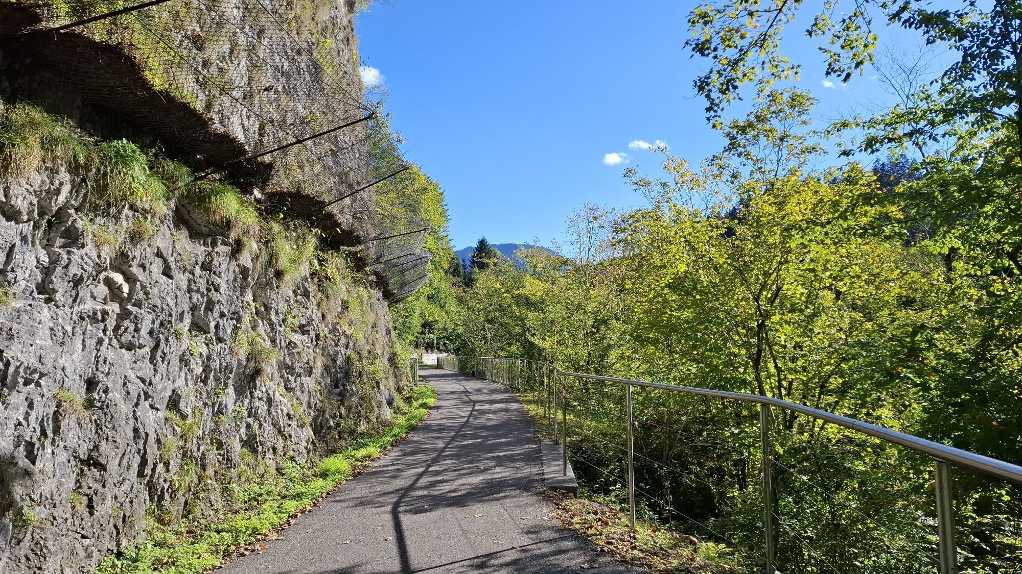
Curvy descent in the forest between Breitenau and Gaflenz, caution when wet!
Coming from the A1 motorway: exit Amstetten West, B121 to Waidhofen an der Ybbs
Arrival with ÖBB (Rudolfsbahn) from/via Amstetten.
You can take your bike on most local and long-distance trains. In Austria you need a special bike ticket for this, and you can also buy weekly or monthly passes for your bike. For international routes ÖBB offers the Biking International Ticket.
There are several park & ride options: waidhofen.at/parkplaetze
2
Tourism Association Ybbstal Alps
Schlossweg 2
3340 Waidhofen/Ybbs
www.ybbstaler-alpen.at/rennrad
+43-7442-93049
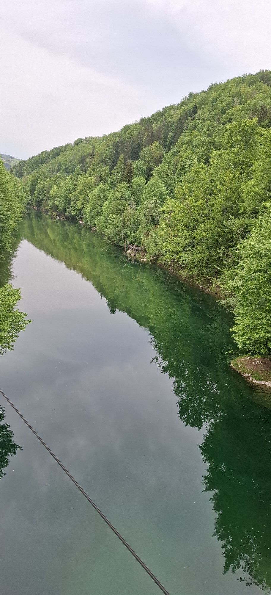
In the first section (Ybbs valley) as an alternative to the state road B31, the use of the Ybbs Valley bike path is recommended.
Webové kamery z prehliadky
Obľúbené výlety v okolí
-
4,9
Kurzeck- Siebenhütten- Turnhöhe- Kitzhütte Göstling an der Ybbs, Österreich
svetloTuristika 12,8 km -
4,3
Prochenberg von Ybbsitz
svetloTuristika 6,29 km -
4,1
Hollenstein Stupfmauer Voralpe Tanzboden retour 20.08.2016
strednáTuristika 15,6 km -
3,8
wanderung auf den alpl
strednáTuristika 8,18 km -
4,6
Opponitz Gorge Hiking Trail
strednáTuristika 4,42 km -
3,8
Lindaumauer (1103 m)
Turistika 3,40 km -
4,2
Lindaumauer, Maria Neustift
strednáTuristika 5,53 km -
5,0
Prochenbergrunde
strednáTuristika 5,96 km -
4,1
Stumpfmauer - Voralpe
strednáTuristika 10,5 km -
4,3
Freithofberg
svetloTuristika 4,57 km
Turistika a stopovanie


Nenechajte si ujsť ponuky a inšpiráciu na ďalšiu dovolenku
Vaša e-mailová adresa bol pridaný do poštového zoznamu.