


Around WY
Úroveň náročnosti: 3


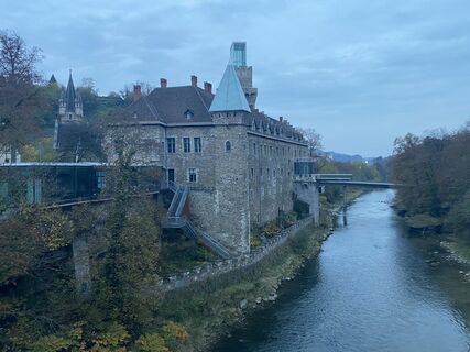
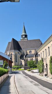
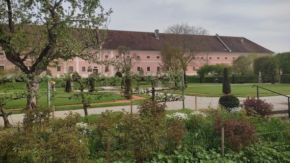
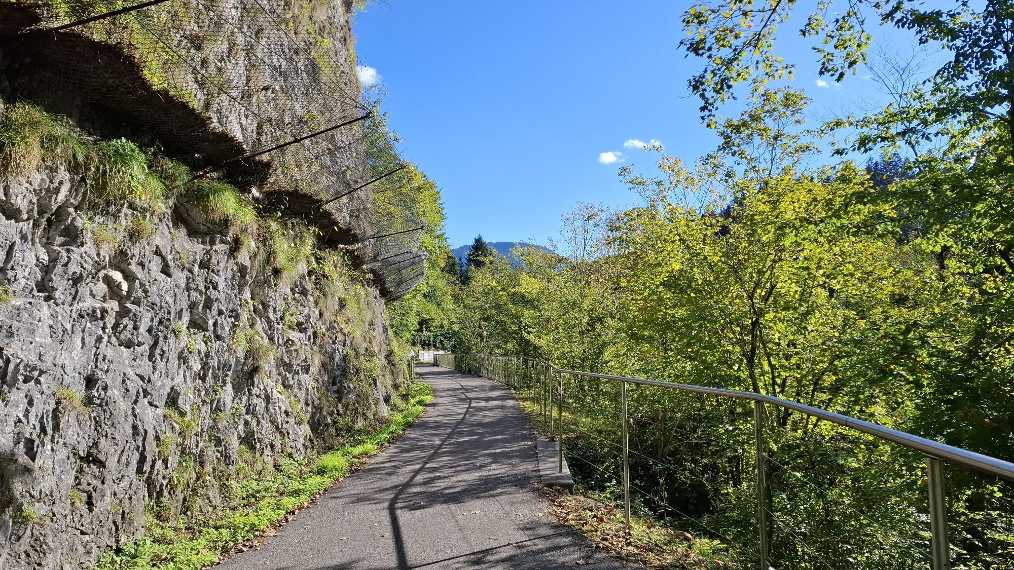
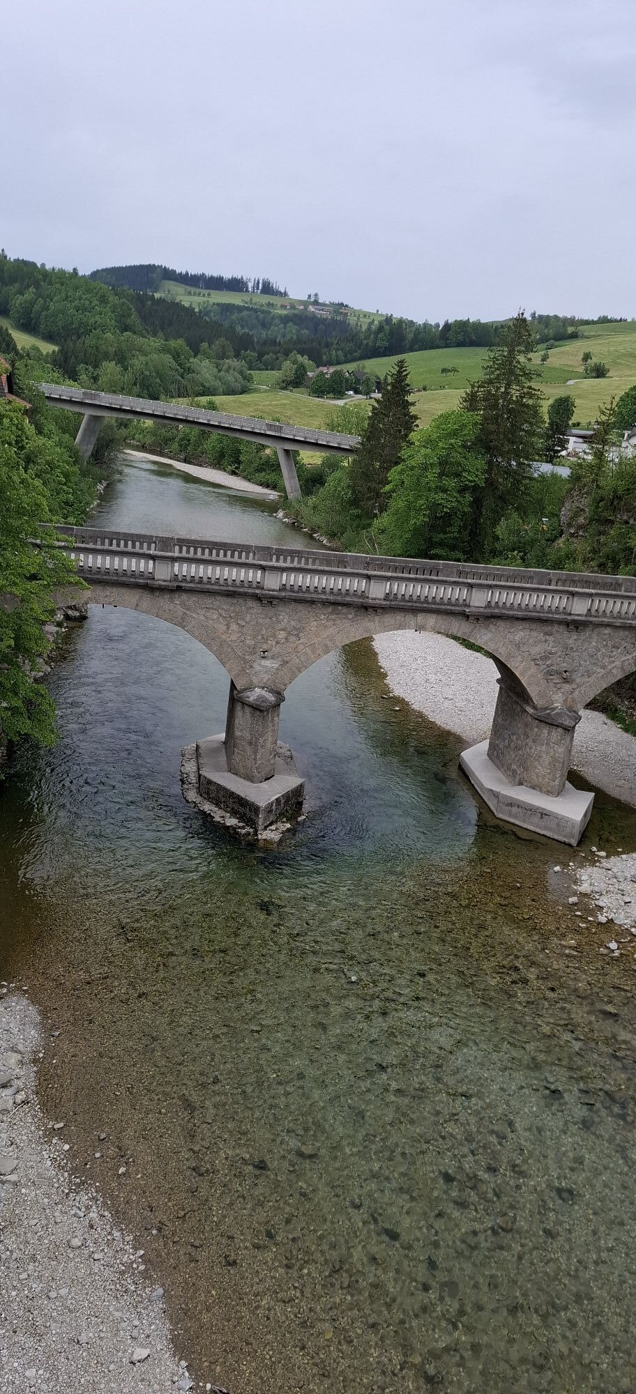
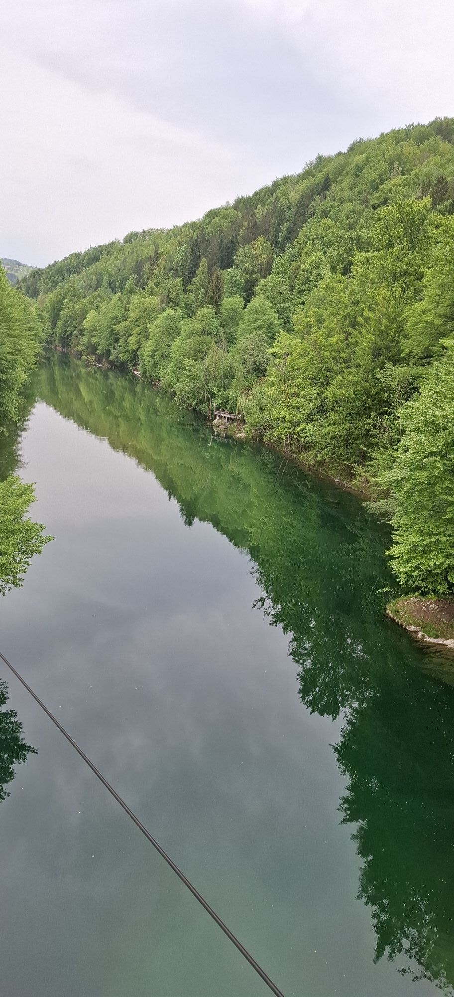
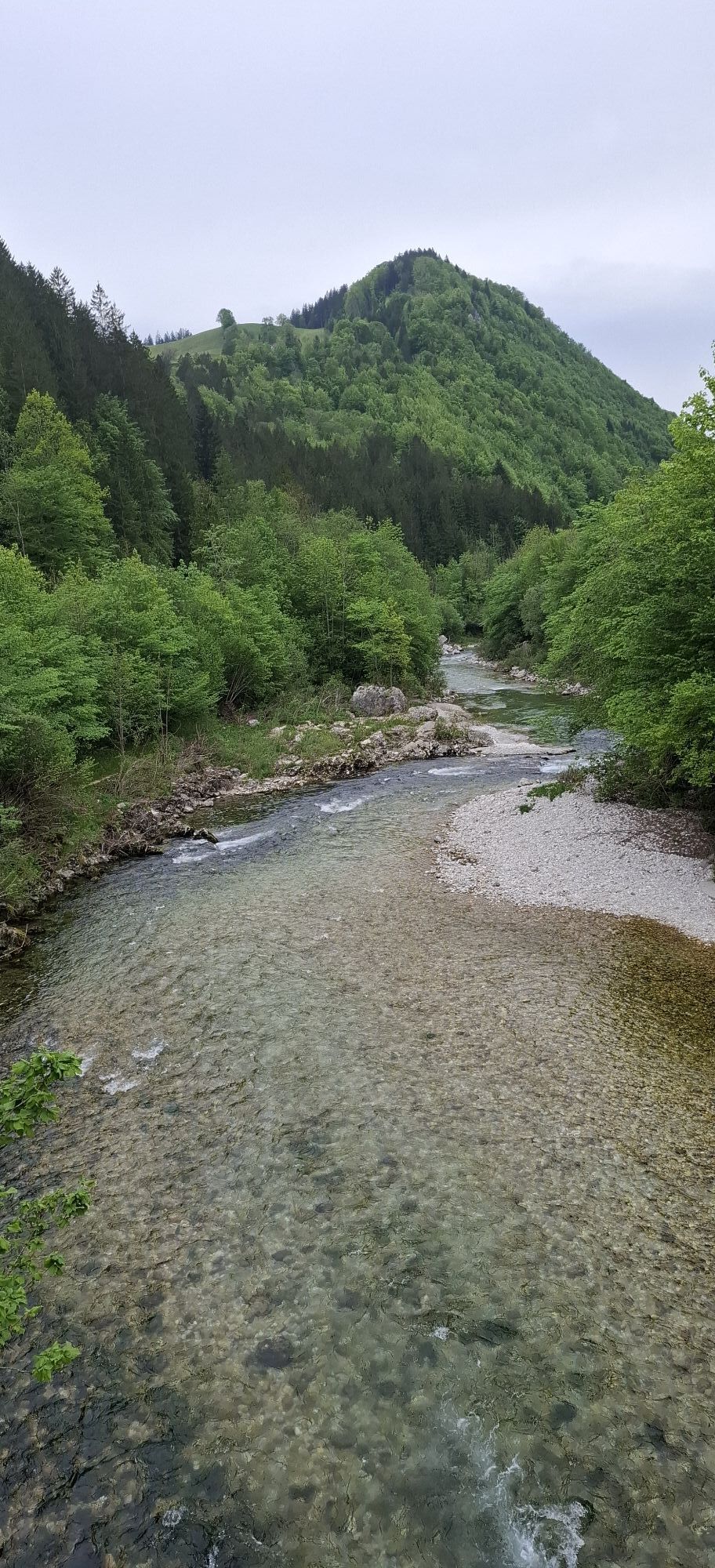
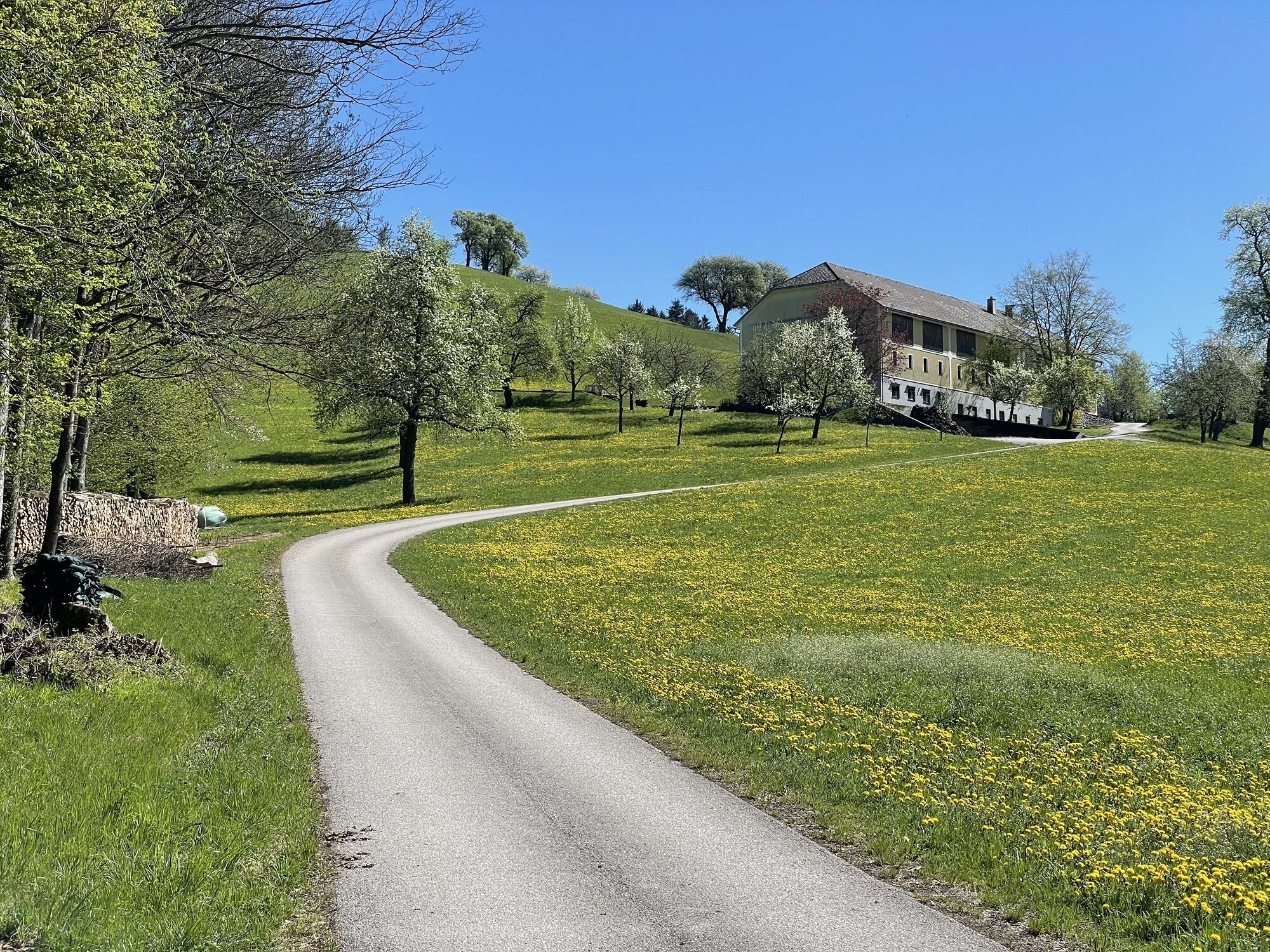
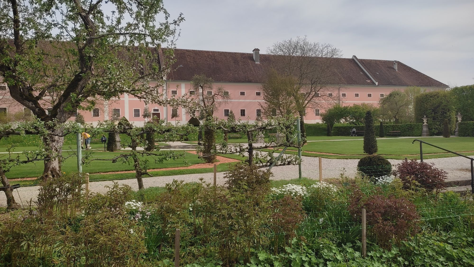
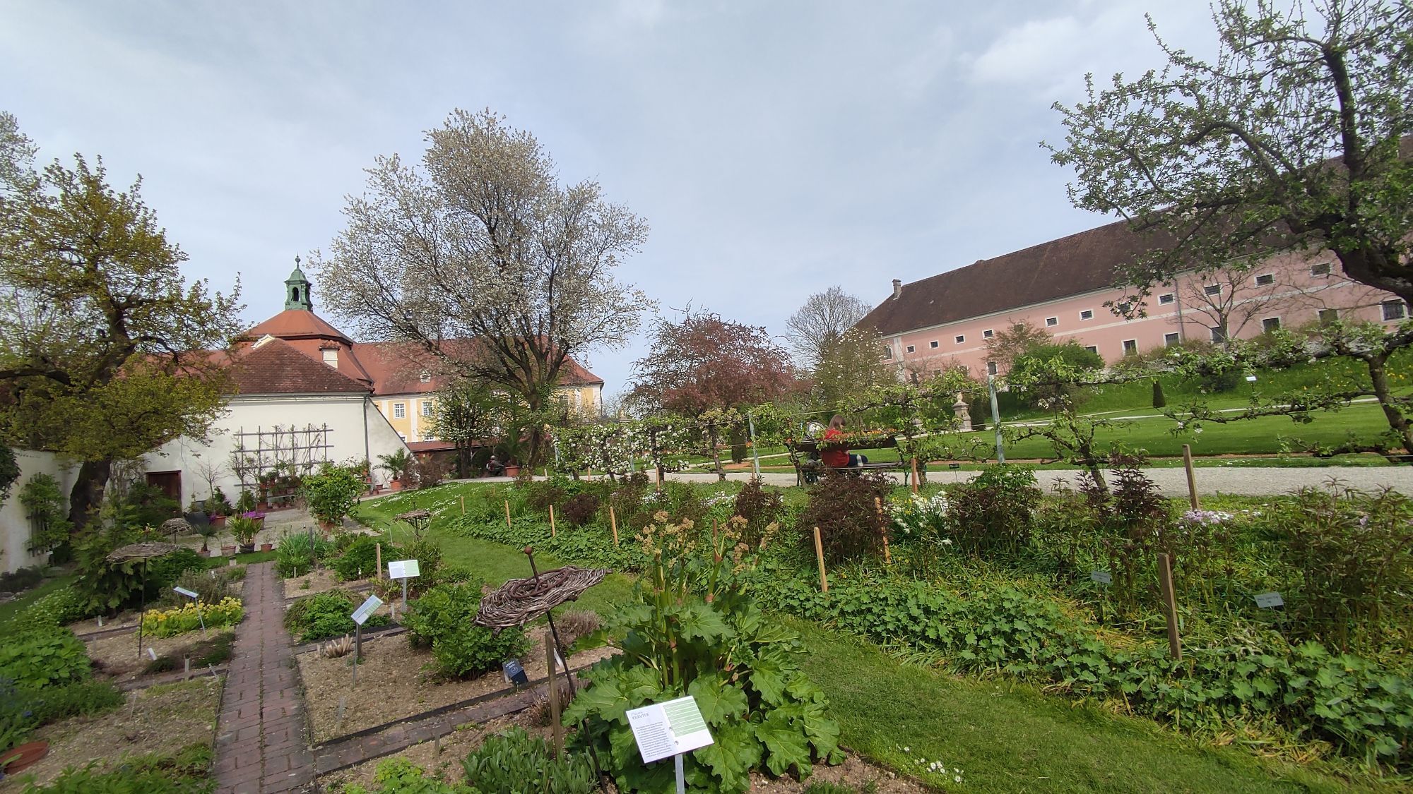
Fotografie našich používateľov
-

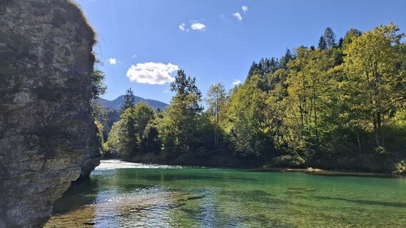
 © MártiVytvorené dňa 27.09.2025
 -
 © MártiVytvorené dňa 27.09.2025
 -
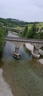
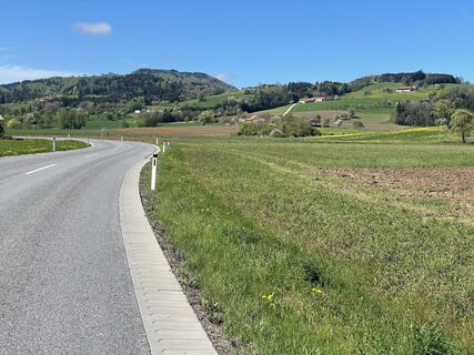
 © schoenfalterVytvorené dňa 03.05.2025
 -
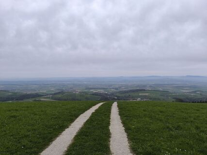
 © schoenfalterVytvorené dňa 03.05.2025
 -
 © schoenfalterVytvorené dňa 03.05.2025
 -
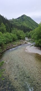
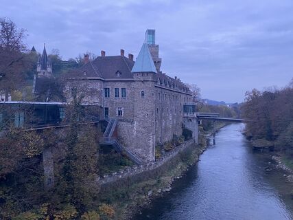
 © Martino68Vytvorené dňa 19.04.2025
 -
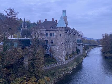
 © Martino68Vytvorené dňa 19.04.2025
 -
 © Martino68Vytvorené dňa 19.04.2025
 -
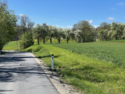
 © David HinczizaVytvorené dňa 13.04.2025
 -
 © Christian2012655Vytvorené dňa 01.11.2022
 -
 © Christian2012655Vytvorené dňa 01.11.2022
 -
 © Christian2012655Vytvorené dňa 01.11.2022
 -
 © Gerhard EdermayerVytvorené dňa 12.06.2025
 -
 © WilliStVytvorené dňa 01.05.2023
 -
 © WilliStVytvorené dňa 01.05.2023

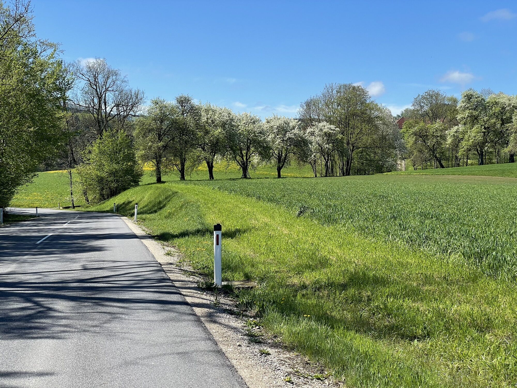
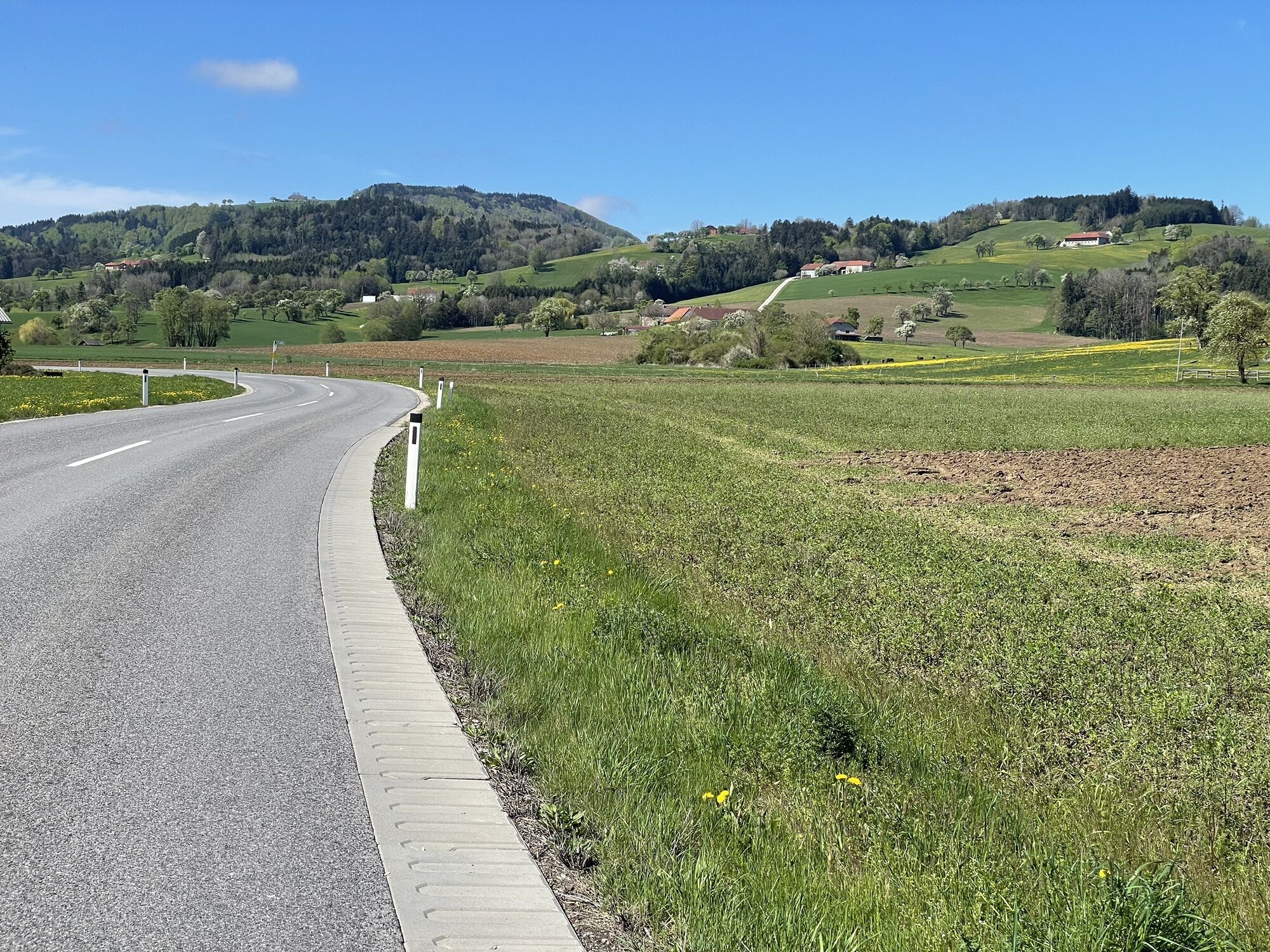


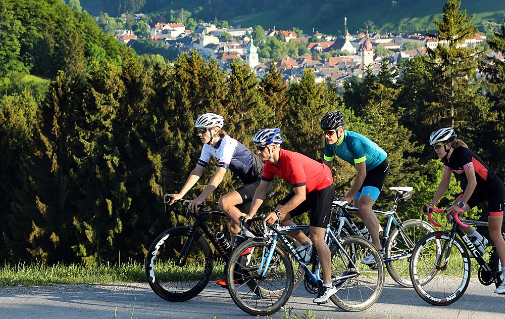
There is something for everyone here: flat sections, steep climbs, and rolling terrain!
After the start, the first hour goes through the Ybbs valley without significant climbs. The following "Saurüssel"...
There is something for everyone here: flat sections, steep climbs, and rolling terrain!
After the start, the first hour goes through the Ybbs valley without significant climbs. The following "Saurüssel" is a leisurely start for the upcoming altitude meters.
In Weyer, turn left into the Enns valley. After rolling kilometers, turn right for the climb to the "Plattn" with a winding descent. Immediately after, the climb to Maria Neustift follows, before a very rolling and later consistently descending terrain leads us to just before St. Peter and later Seitenstetten.
The next kilometers over Biberbach to Hiesbach are very hilly, before sharply turning left shortly after Hiesbach for the very steep climb to the Euratsfeld Hochkogel. The view compensates for the effort.
From Hochkogel it goes quickly downhill to Randegg and to the last, long climb of the day, the Grestner Höhe. From the summit, we roll relaxed the last 17 kilometers back to Waidhofen.


Waidhofen an der Ybbs - exit through the district Zell - Schwellöd Bridge - left onto the B31 towards Opponitz/Hollenstein - Gstadt - B31 towards Hollenstein or optional change to the Ybbstal cycle path - Opponitz - turn off at Klein-Hollenstein towards Weyer - Saurüssel - Weyer - sharp left at the intersection to the market square - just before leaving the town right through "Anger" - right up to the B115 Ennstal federal road - left onto the B115 - after about 4 km right into the Hornbachgraben - after 2 km left towards "Hofberg" and Maria Neustift - keep left at the fire station depot - descent into Neustiftgraben - right towards Waidhofen - left to Maria Neustift - drive through the town - direction Waidhofen/Ybbs - keep left towards Ertl - Ertl - 1 km before St. Peter sharp right towards St. Michael - after 1 km left towards Seitenstetten - drive through Seitenstetten - L6204 to Biberbach - L6204 further towards Amstetten - cross the B121 - continue to Kröllendorf - via L92 to Hiesbach - after 2 km sharp left towards "Tischlerei Reitbauer" - Höhenstraße - Hochkogel - sharp right at the Panoramastüberl inn onto L6112 into Schliefaugraben - Schliefau - left onto L92 towards Randegg - Gresten - onto B22 towards Ybbsitz - Grestner Höhe - Waidhofen an der Ybbs
Road bike (translation of e.g. 34/27 is recommended)
Caution for the sometimes very tight curves in the "Plattn" descent.
Coming from the A1 motorway: exit Amstetten West, B121 to Waidhofen an der Ybbs
Arrival with ÖBB (Rudolfsbahn) from/via Amstetten.
You can take your bicycle on most local and long-distance trains. In Austria, you need a special bike ticket for this, and you can also buy weekly or monthly tickets for your bike. For international routes, ÖBB offers the Biking International Ticket.
There are several Park & Ride options: waidhofen.at/parkplaetze
3
The route is ideal for an atmospheric autumn ride and offers several (altitude-rich) variants: Kürnberg or St. Leonhard for example!
Webové kamery z prehliadky
-
Flugplatz Seitenstetten
-
Talstation Glasenberg
-
Ennser Hütte
-
Hollenstein an der Ybbs
-
Rundfunkstation Sonntagberg
-
Weyer Marktplatz
-
St. Peter/Au - Plattenberg
-
Ertl
-
Hochkogel
-
Sonntagberg
-
Großraming - Almkogel
-
Ennser Hütte
-
Ybbsitz - Prochenberg Hütte
-
Ybbsitz Markt
-
Ybbsitz - Prochenberg Hütte
-
Ybbsitz - Prochenberg Hütte
-
Forsteralm
-
Allhartsberg
-
Glasenberg
Obľúbené výlety v okolí
-
4,3
Prochenberg von Ybbsitz
svetloTuristika 6,29 km -
3,8
wanderung auf den alpl
strednáTuristika 8,18 km -
4,6
Opponitz Gorge Hiking Trail
strednáTuristika 4,42 km -
3,8
Lindaumauer (1103 m)
Turistika 3,40 km -
4,2
Lindaumauer, Maria Neustift
strednáTuristika 5,53 km -
4,4
Kleine Gipfelrunde Glasenberg
svetloTuristika 4,99 km -
5,0
Prochenbergrunde
strednáTuristika 5,96 km -
4,3
Freithofberg
svetloTuristika 4,57 km -
4,2
Onto Prochenberg
strednáTuristika 12,0 km -
3,7
Panoramaweg Freithofberg E31A
Turistika 9,77 km
Turistika a stopovanie


Nenechajte si ujsť ponuky a inšpiráciu na ďalšiu dovolenku
Vaša e-mailová adresa bol pridaný do poštového zoznamu.