


High altitude hiking trail Hochstraß Eichgraben


This route runs through a unique cultural landscape and links the natural experience with an informative city walk. Although “Aichgrawen” was first documented in 1345, it is a young settlement. In the...
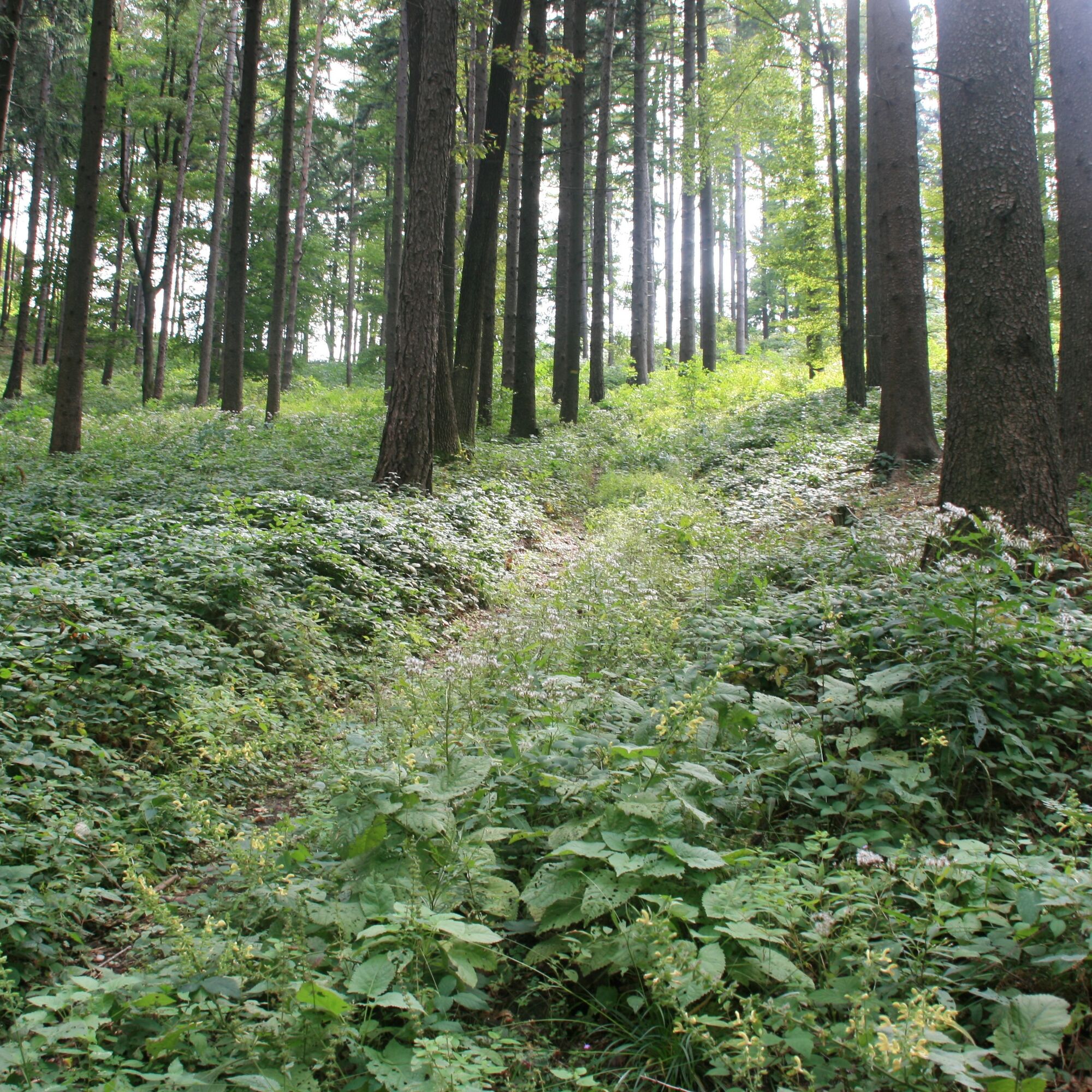
This route runs through a unique cultural landscape and links the natural experience with an informative city walk. Although “Aichgrawen” was first documented in 1345, it is a young settlement. In the 17th century, woodcutters settled here. The community gained importance through the construction of the Westbahn railway in 1858. The first own church was consecrated in 1896: the neo-Gothic Herz Jesu Chapel. In 1951, finally, the Wienerwalddom, a modern building, followed. Eichgraben was designated a market town in 1973. Today the community of 4000 inhabitants is one of the most important tourist destinations of the Wienerwald. The area is of great importance for the infrastructure of eastern Austria. Here is the Steinhäusl motorway junction, the Westbahn, and the 2nd Viennese high spring water pipeline, under whose aqueduct the path leads. This pipeline was built in 1910 and transports 200 million liters of water daily from Styria 225 km to Vienna. Afterwards, you hike through fir and spruce forests into the romantic Wienerwald village of Hochstraß. Here you can enjoy views of the typical meadow landscape of the Wienerwald, and pick berries and flowers along the way. On the return route, you pass by the small Fallenzhofer Chapel - built according to legend after a farmer escaped a giant - and the Gutscher woodturning shop - a family business since 1863, which among other things produces piano legs for Bösendorfer.

The route starts at the Eichgraben train station. Head south on Bahnstraße and immediately turn left onto Kirchenstraße. At the end of this street are the Wienerwalddom and the Herz Jesu Chapel. Here, turn right, then stroll along Hauptstraße and follow the green/yellow marker no. 8. Afterwards, pass under the railway viaduct where a historic steam locomotive can be seen, then pass the Knödler inn and the "Zum Bärenwirt" guesthouse. This is also where the red marker starts, which also leads to Hochstraß. Next, you reach the intersection with Herrenhofstraße, where you must turn left. After a few meters, turn left onto Schattaustraße. Pass under an aqueduct of the 2nd Viennese high spring water pipeline and cross a small forest. At the next intersection, go straight ahead, and after about 300m, turn right onto Hohlweg. Then the actual high-altitude hiking trail begins, turning right into the forest heading south. After a short walk, you pass another small settlement and then cross motorway A1. The ascent continues past the Steigerbauer farm at Gschaid. Then the red marker branches off to the right, while you follow the green/yellow marker to the left. A narrow path leads steeply uphill. You reach the main road near Schwabendörfl. Here, follow the green/yellow marker to the right towards Hochstraß. You walk straight through the peaceful village until you pass under the A21 motorway ramp. From here, follow a forest road downhill through the woods. At the next intersection, turn right and pass under the main carriageway of A21. Pass the Kaltenberg farm and then you are on a road again. After about 300m, turn left. Now you pass through the village of Lengbachl, home to the historic Gutscher woodturning shop, and then arrive at the district Steinhäusl. Here, leave the high-altitude hiking trail, turn right onto Bergstraße, and now follow the green/yellow marker no. 9. You now pass through densely built, uneven terrain. After passing under the A1 motorway, cross the Klarahöhe to Badner Straße, here turn right onto Herrenhofstraße, and then right again onto Wiesenerstraße. Keeping right, you return to Schattaustraße via Efeu- and Zyklamenstraße. From here, walk back to the starting point.
Normal hiking equipment
Motorway A1, exit Pressbaum; B44 towards St. Pölten/Neulengbach, turn left at the roundabout at the town entrance onto “Hauptstraße”, then turn right onto “Bahnstraße”
Or motorway A1, exit Altlengbach; B19 towards Hainfeld, turn towards Altlengbach (local road), through Altlengbach, through Steinhäusl, through Eichgraben, then turn left onto “Bahnstraße”
Park & Ride facility at Eichgraben-Altlengbach station
Wienerwald Tourism
3002, Purkersdorf, Hauptplatz 11
Tel. 02231/621 76
Fax 02231/655 10
Region Elsbeere Wienerwald
3040 Neulengbach, Kirchenplatz 82
Tel. 02772/524 84
Market town Eichgraben
3032 Eichgraben, Rathausplatz 1
Tel. 02773/46231
Fax 02772/46231 20
info@eichgraben.at
www.eichgraben.at
Obľúbené výlety v okolí
-
4,7
Schöpfl
svetloTuristika 9,52 km -
3,9
Schöpfl von Sankt Corona
strednáTuristika 10,1 km -
4,4
Panorama hike Hafnerberg
svetloTuristika 8,78 km -
4,5
Hike 3 pilgrimage churches along idyllic trails
strednáTuristika 10 km -
4,8
Panorama Circular Trail
strednáTuristika 8,87 km -
4,8
Rundwanderung Gablitz Gemeindeamt - Troppberg - Rabenstein - Gablitz Gemeindeamt
svetloTuristika 12 km -
4,0
Gföhlberg
svetloTuristika 6,83 km -
4,2
Von St. Corona auf den Schöpfl - Angelos Touren
svetloTuristika 6,68 km -
4,6
Tamberg circular hiking route
svetloTuristika 4,02 km -
4,6
Panoramaweg Hafnerberg
svetloTuristika 10,6 km
Turistika a stopovanie


Nenechajte si ujsť ponuky a inšpiráciu na ďalšiu dovolenku
Vaša e-mailová adresa bol pridaný do poštového zoznamu.