Stone Trail Langschlag
stredná
Turistika 4,8
Navigácia na stránke
Získajte túto prehliadku v mobilnom telefóne
Mapa
Stone Trail Langschlag
stredná
Turistika
12,25 km
Naskenujte kód QR a spustite navigáciu v aplikácii bergfex
QR Code
Turistika a stopovanie

Stone Trail Langschlag

Vzdialenosť
12,25 km
Trvanie
03:30 h
Ascent
177 hm
Hladina mora
747 - 808 m
Stiahnutie skladby
Mapa
Stone Trail Langschlag
stredná
Turistika
12,25 km
Trasa
Langschlag
(764 m)
Dedina
0,0 km
Pfarrkirche St. Stephan
(765 m)
Miesto uctievania
0,0 km
Opferstein
(800 m)
Summit
2,0 km
Schmerbach
(763 m)
Zúčtovanie
3,5 km
Teufelsmühle
(756 m)
Koridor/terén
5,9 km
Langschlag
(752 m)
Železničná stanica
11,7 km
Pfarrkirche St. Stephan
(765 m)
Miesto uctievania
12,2 km
Trasa
Mapa
Stone Trail Langschlag
stredná
Turistika
12,25 km
Langschlag
(764 m)
Dedina
0,0 km
Pfarrkirche St. Stephan
(765 m)
Miesto uctievania
0,0 km
Opferstein
(800 m)
Summit
2,0 km
Langschlager Feld
(782 m)
Koridor/terén
3,1 km
Schmerbach
(763 m)
Zúčtovanie
3,5 km
Teufelsmühle
(756 m)
Koridor/terén
5,9 km
Langschlag
(752 m)
Železničná stanica
11,7 km
Langschlag
(764 m)
Dedina
12,1 km
Pfarrkirche St. Stephan
(765 m)
Miesto uctievania
12,2 km
Opis

Energy and power places, hard rocks - remnants, bowl stones, rocking stones - the Waldviertel is rich in stones.
350 million years ago, a high mountain range folded in Central Europe. Millions of years passed, the mountains weathered, seas covered the land, rocks and layers of earth were eroded, and from the ground came the stones of the Waldviertel. The washouts and weathering that led to the appearance of the hard rocks are estimated to be 10 million years old.

Technológia
n.a.
Stav
3 / 6
Krajina
5 / 6
Skúsenosti
5 / 6
Najlepšie ročné obdobie
Jan
Feb
Mar
Apr
Máj
Jún
Júl
Aug
Sep
Okt
Nov
Dec
Autor
Prehliadku Stone Trail Langschlag zabezpečuje outdooractive.com.
Logo
Zdieľať prehliadku
Mapa
Stone Trail Langschlag
stredná
Turistika
12,25 km
Chyba
Vyskytla sa chyba. Prosím, skúste to znova.
Naposledy sledované pred jedným dňom
Informácie o trase
Trasa

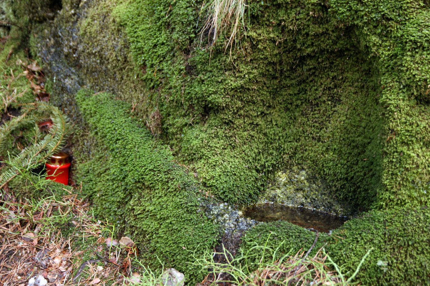
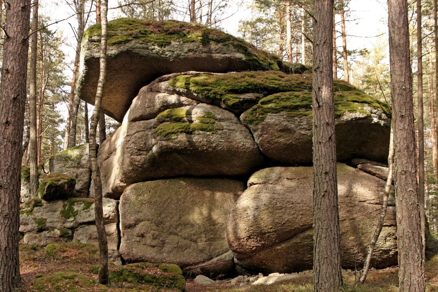
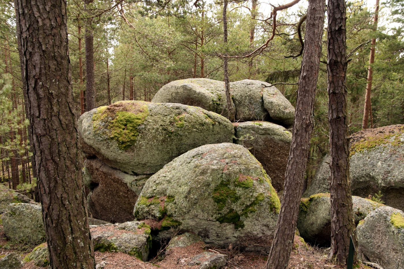
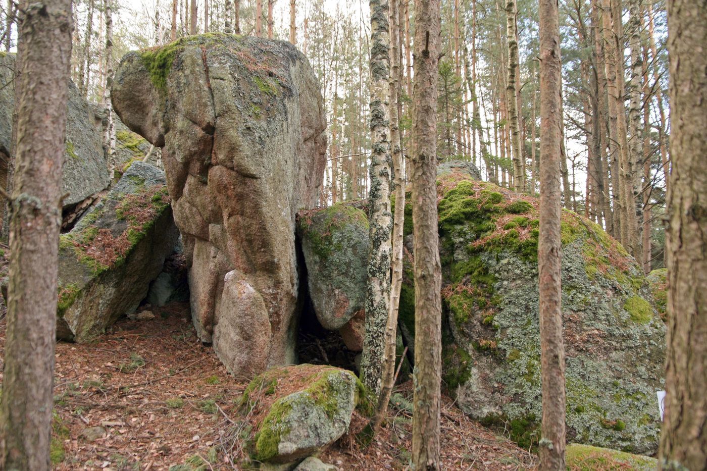
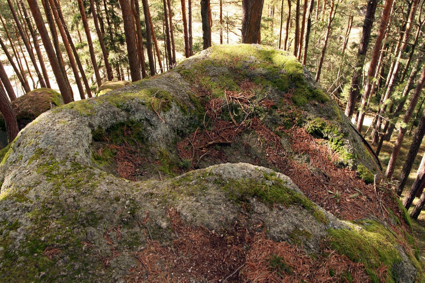
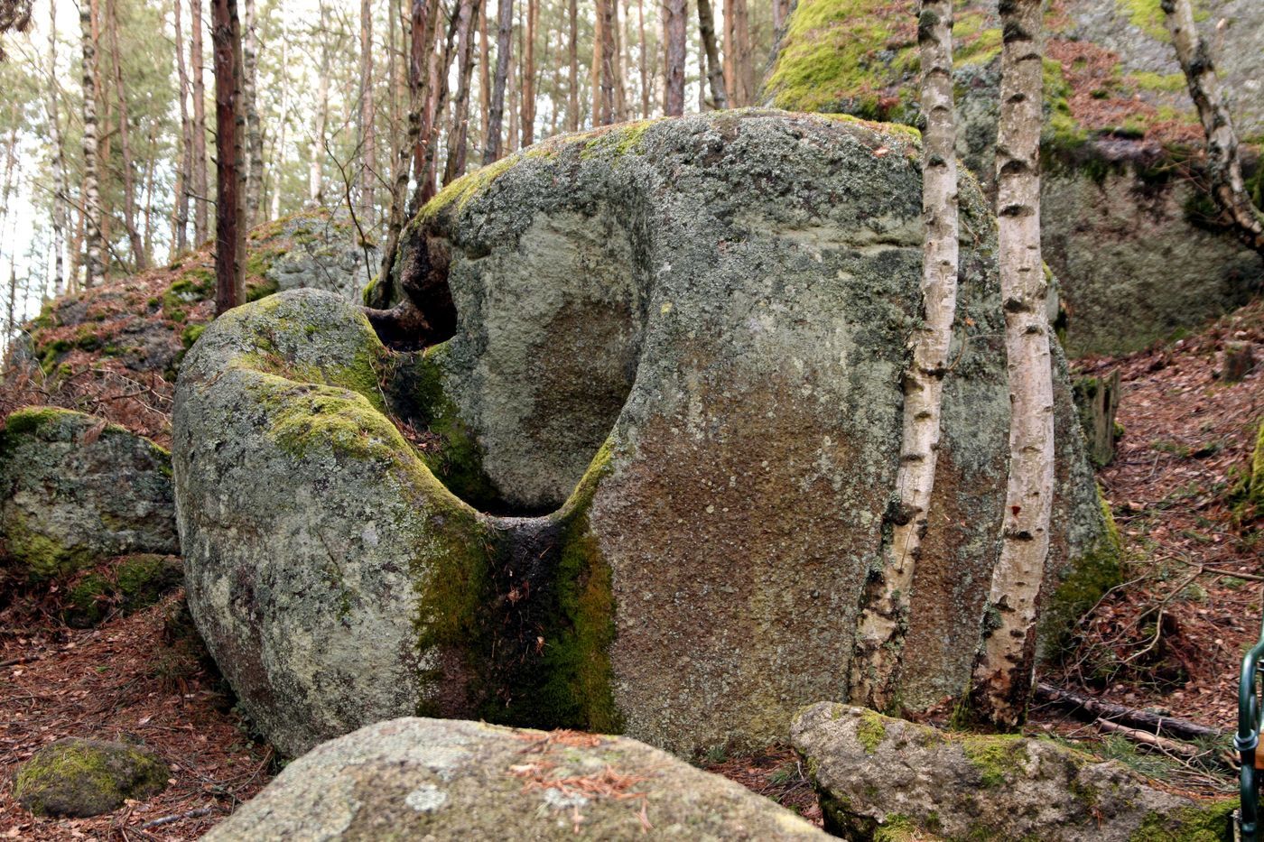
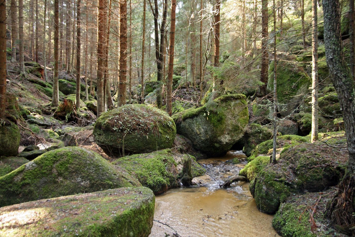
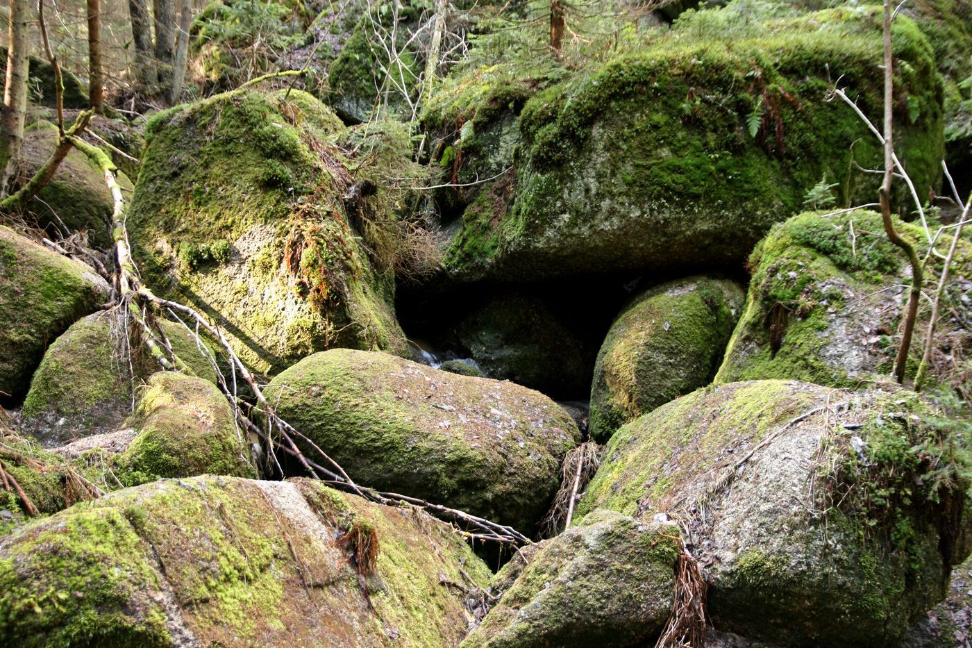
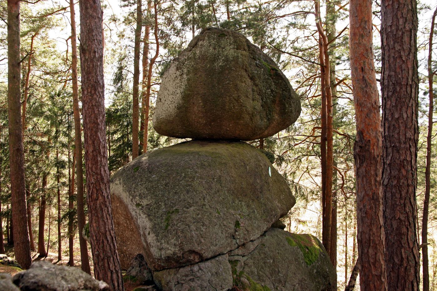
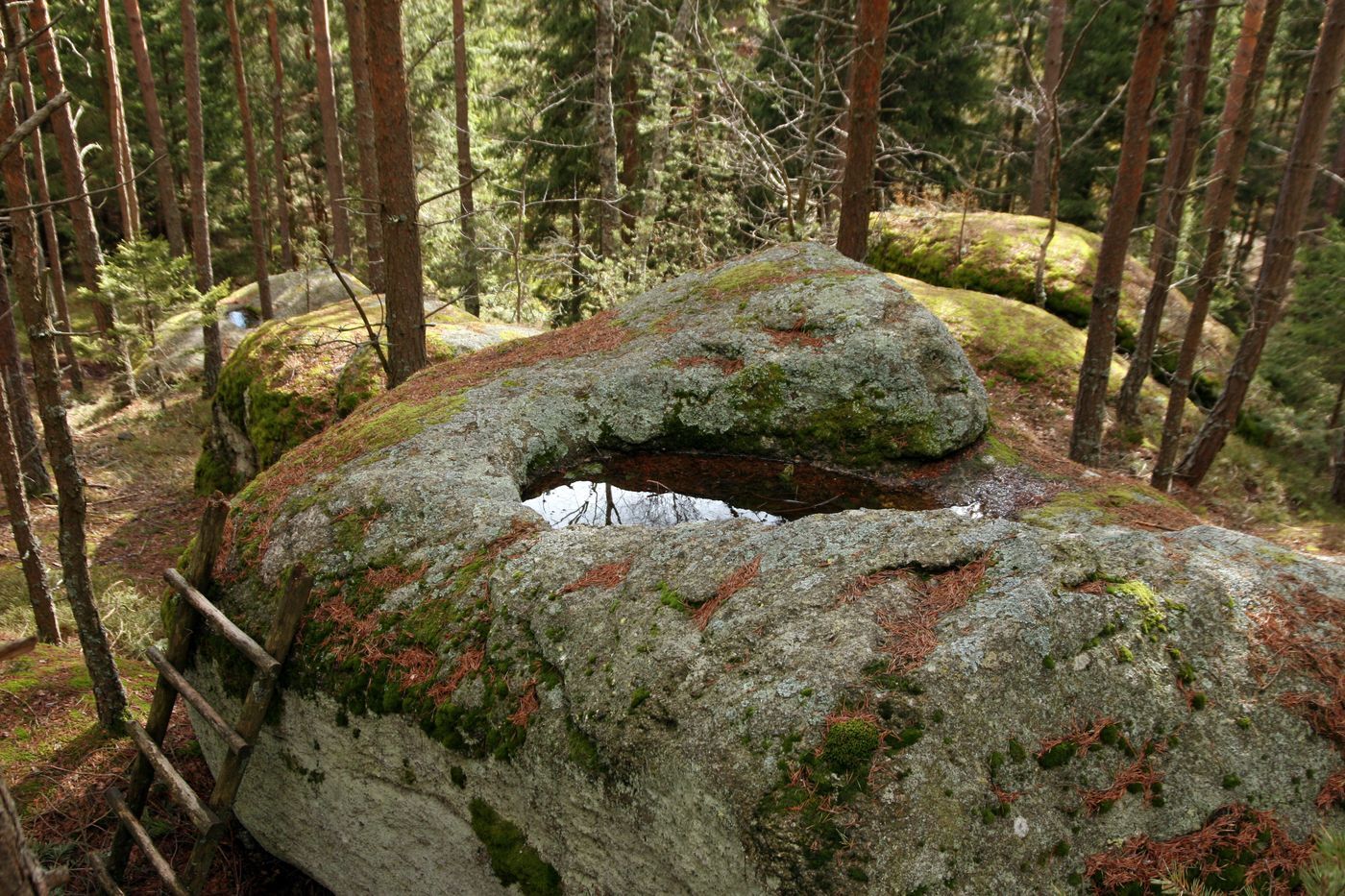
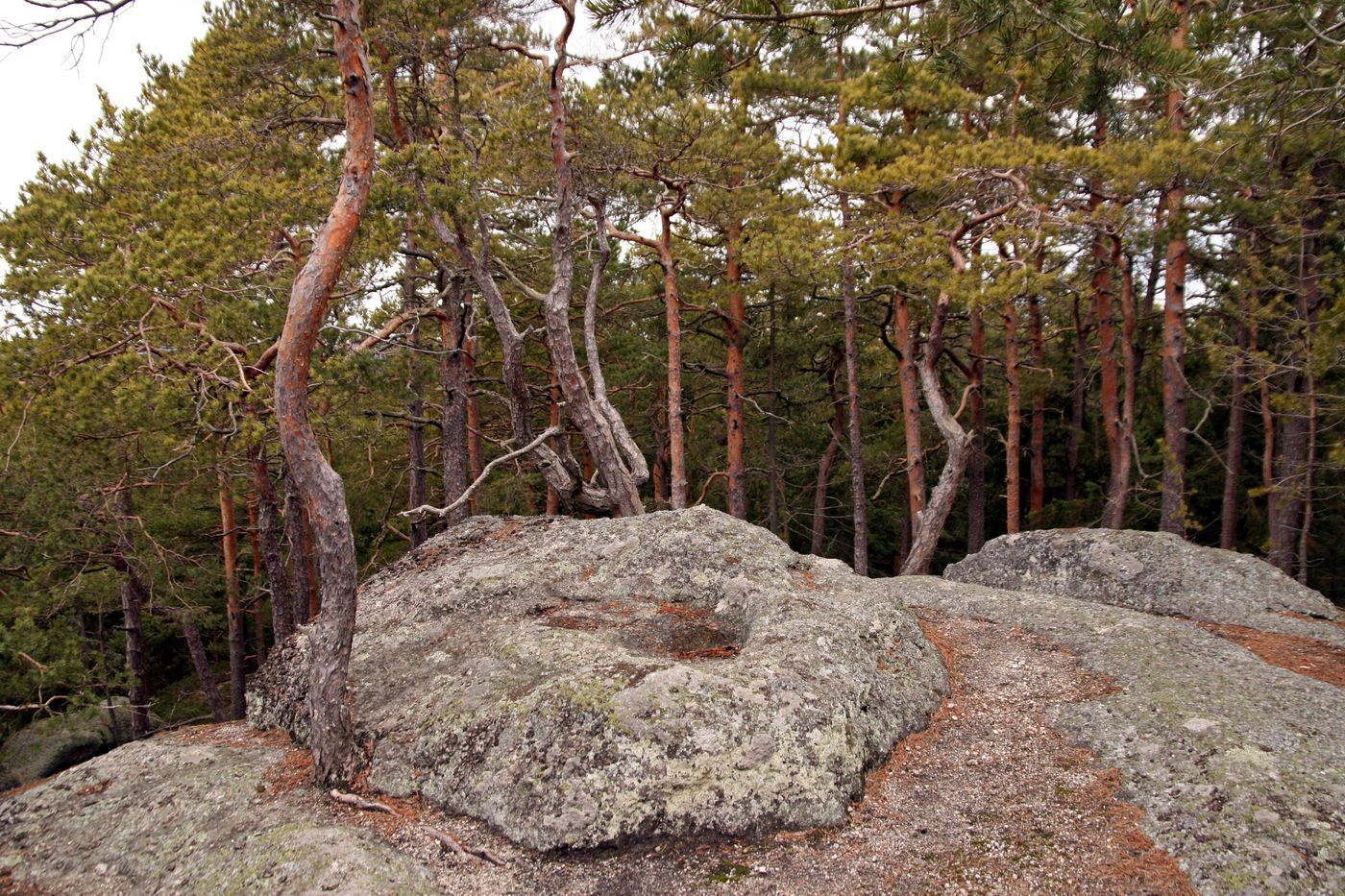
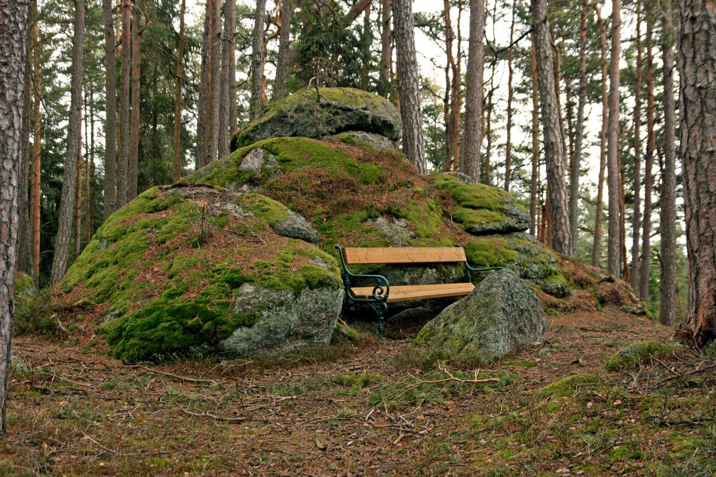
The stone-rich circular route starts at the bus stop on the B38 and leads not only to stone formations such as the rocking stone or the camel stone, but also to energy and power places such as the mother-child stone, the eye spring, or the fertility stone. A wild romantic natural spectacle is the section Teufelsmühle – Höllgraben along the Elexenbach stream, where according to a legend the devil threw large boulders into the creek out of sheer rage over his betting loss. You can find more information about these stone formations in the folder “Stone Trail Langschlag.” On this hike, you can feel the forces of nature and use them for yourself.

Zariadenie

Sturdy footwear, functional clothing, sun and rain protection, maps, if necessary telescopic poles, first aid kit (blister plasters), sufficient supplies (snack, muesli bars, fruit, water).

Bezpečnostné pokyny

Make sure when choosing your route that it matches your fitness level. Check whether the gastronomy businesses you want to visit along the way are open. Pack your charged mobile phone and maps in your backpack. For cross-border routes, always carry a passport or identity card.

Informácie o príchode
Príchod

A22 and S5 or S33 to Krems - B37 to Zwettl - B38 to the town center of Langschlag

Ďalšie informácie a tipy
Ďalšie informácie

Municipality of Langschlag
3921 Langschlag, Marktplatz 37
Tel. 02814/ 8218
Fax: 02814/ 8218-4
gemeinde@langschlag.gv.at
www.langschlag.gv.at

Waldviertel Tourism 
3910 Zwettl, Sparkassenplatz 1/2/2
(T) +43 2822 54109
(E) info@waldviertel.at
(I) www.waldviertel.at 

Oceňovanie
4,8
5
(3)
4
(1)
3
(0)
2
(0)
1
(0)
1 Komentár
Avatar z weber doris
weber doris
15. júl. 2025
Overené odišlo
Abwechslungsreich
Užitočné (0) |
Správa
Chyba
Vyskytla sa chyba. Prosím, skúste to znova.
Napíšte recenziu

Recenzie pomáhajú ostatným používateľom vybrať si ďalšie dobrodružstvo. Prosím, hodnoťte len prehliadku, nie počasie alebo občerstvenie.

Vyberte jednu z hviezdičiek a ohodnoťte prehliadku
Zlé turné
Slabé turné
Priemerné turné
Dobrá prehliadka
Vynikajúca prehliadka
bergfex logo Získajte prehľad Vždy naživo na mieste s viac ako 9 500 webovými kamerami. bergfex Ako používateľ Pro si teraz môžete pozrieť príslušné webové kamery pre mnohé zájazdy v aplikácii zájazdy z. Môžete si tak priamo prezerať aktuálne podmienky.
Turistika a stopovanie

Turistika a stopovanie

Turistika a stopovanie
Viac ako 550.000 návrhov výletov, podrobné mapy a intuitívny plánovač trás robia z aplikácie povinnú výbavu pre všetkých nadšencov prírody.
Turistika a stopovanie