


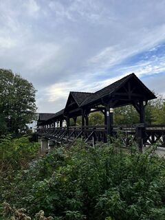
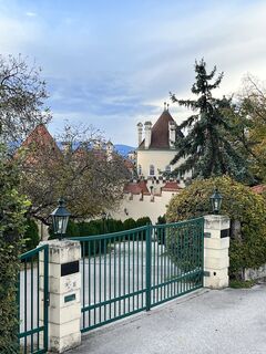
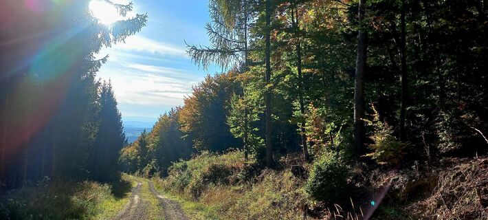
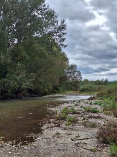
Rosalia circular hiking route


Fotografie našich používateľov
-
 © Szakos1985Vytvorené dňa 25.10.2025
 -
 © Szakos1985Vytvorené dňa 25.10.2025
 -
 © Szakos1985Vytvorené dňa 25.10.2025
 -
 © Rick123Vytvorené dňa 19.10.2025
 -
 © Rick123Vytvorené dňa 19.10.2025
 -
 © Barbara BallmüllerVytvorené dňa 05.10.2025
 -

 © EderoVytvorené dňa 25.09.2025
 -

 © Gerhard Lechner 1Vytvorené dňa 05.07.2025
 -
 © Markus OrtnerVytvorené dňa 20.04.2025
 -
 © Markus OrtnerVytvorené dňa 20.04.2025
 -
 © Markus OrtnerVytvorené dňa 23.02.2025
 -
 © Markus OrtnerVytvorené dňa 23.02.2025
 -
 © Markus OrtnerVytvorené dňa 23.02.2025
 -
 © EderoVytvorené dňa 24.11.2024
 -
 © EderoVytvorené dňa 24.11.2024
 -
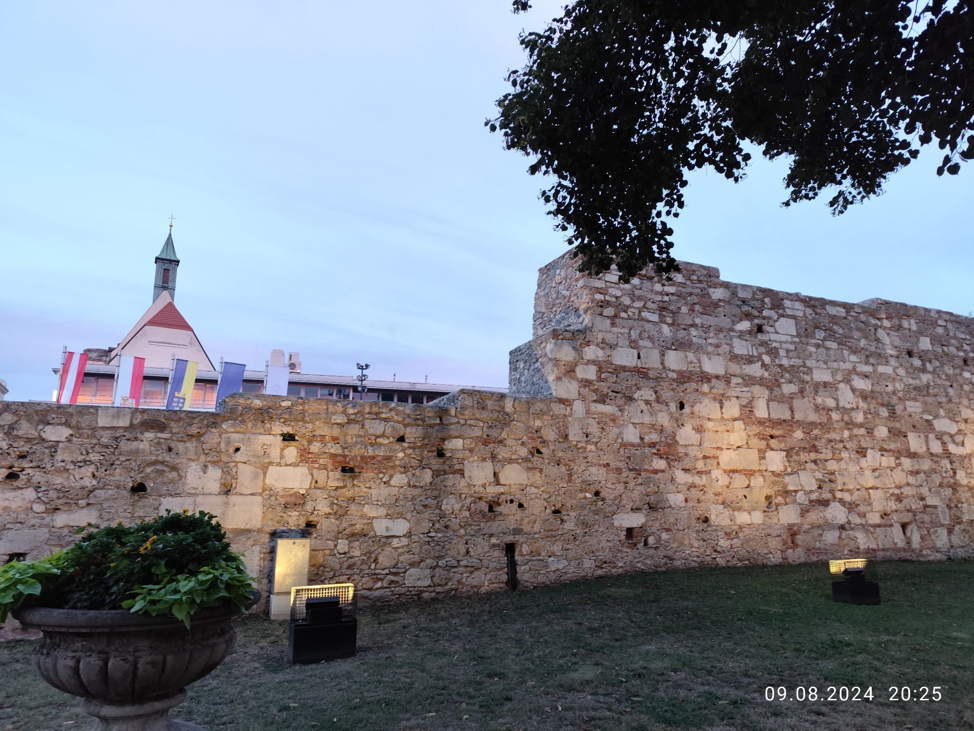
 © Barbara GalleVytvorené dňa 09.08.2024
 -
 © Barbara GalleVytvorené dňa 09.08.2024
 -

 © Leo ReitererVytvorené dňa 20.10.2025
 -
 © Leo ReitererVytvorené dňa 20.10.2025
 -
 © Leo ReitererVytvorené dňa 09.09.2025
 -
 © Martin NoppVytvorené dňa 06.09.2025
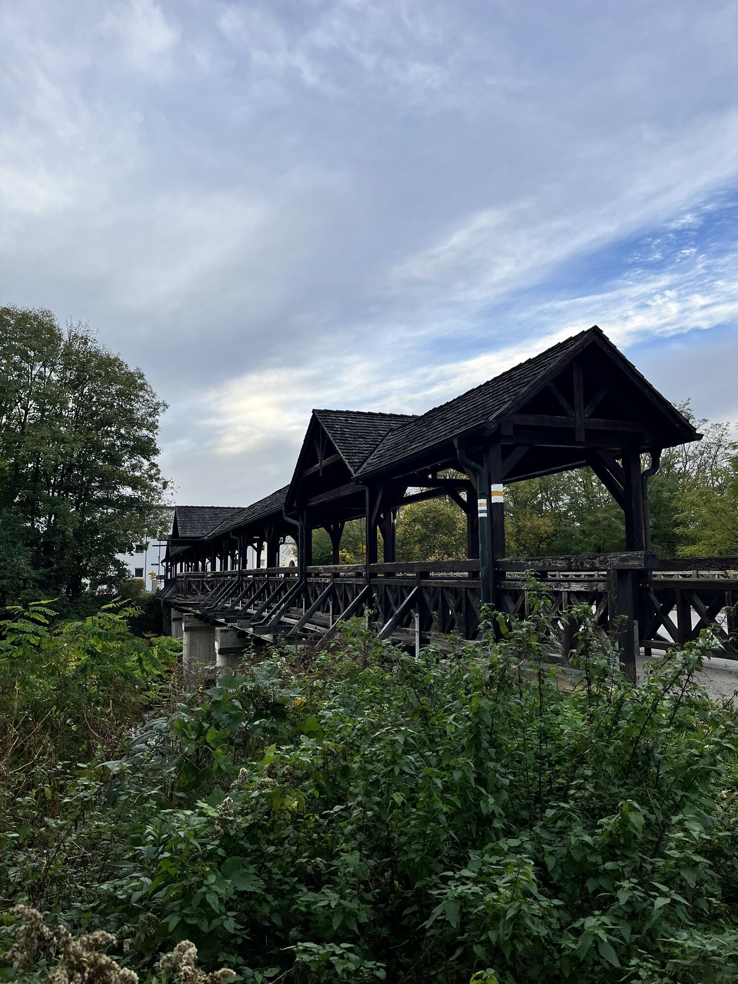


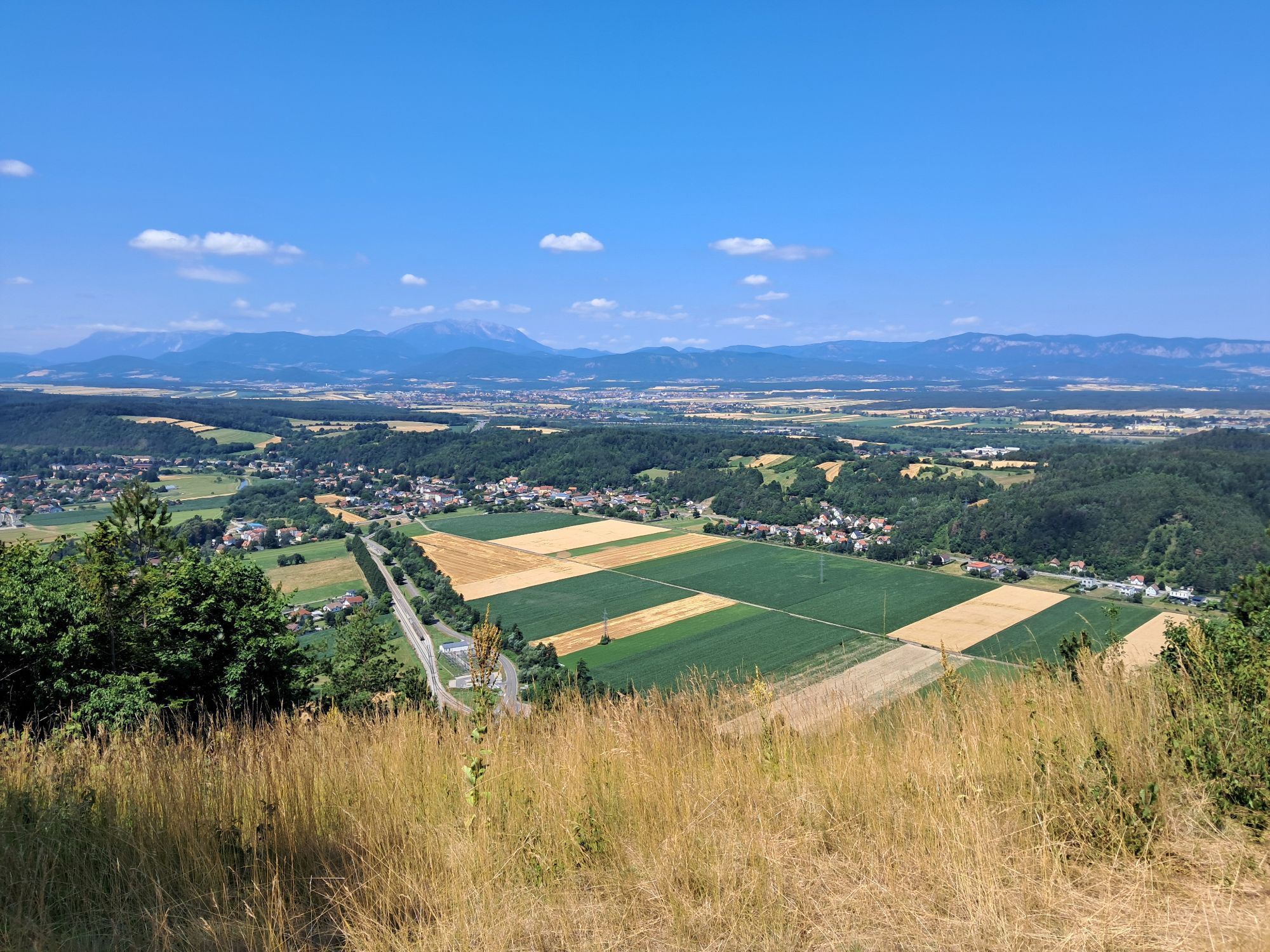


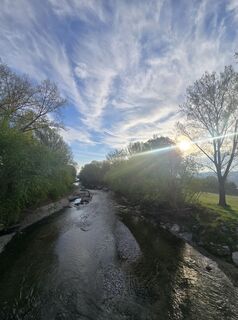
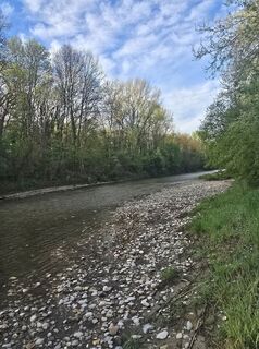
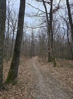
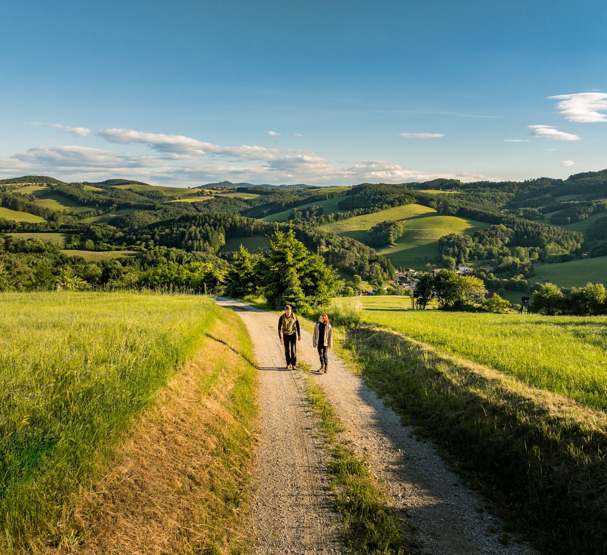
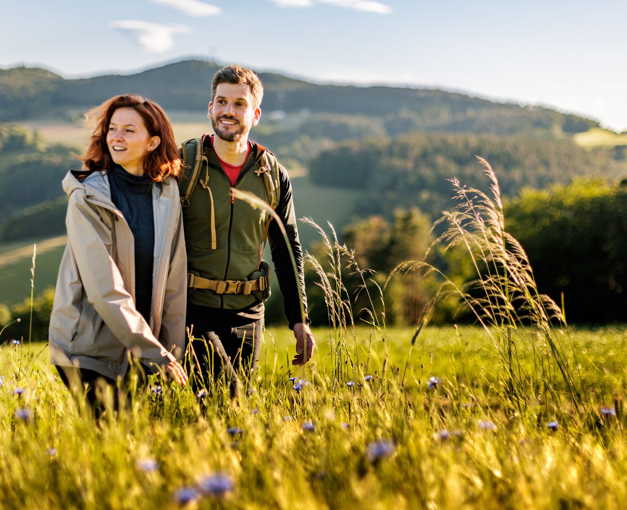
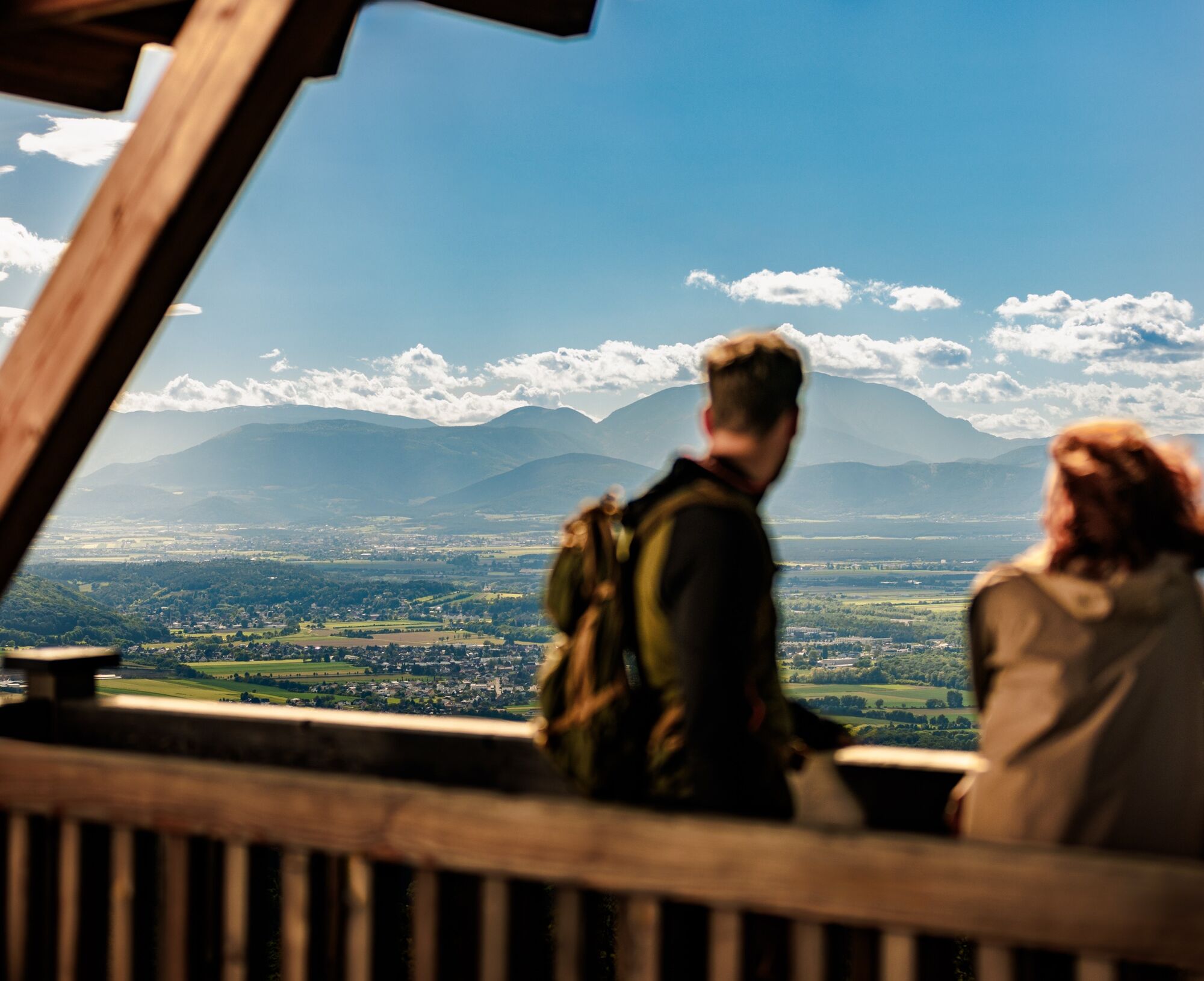
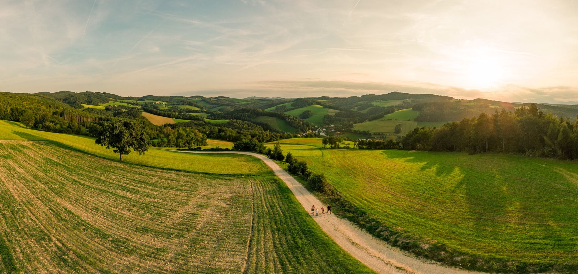
Deceleration is the order of the day; the hike in the Rosalia mountains offers plenty of variety and many answers to the question of why it is also called the "land for connoisseurs".
The route can be...
Deceleration is the order of the day; the hike in the Rosalia mountains offers plenty of variety and many answers to the question of why it is also called the "land for connoisseurs".
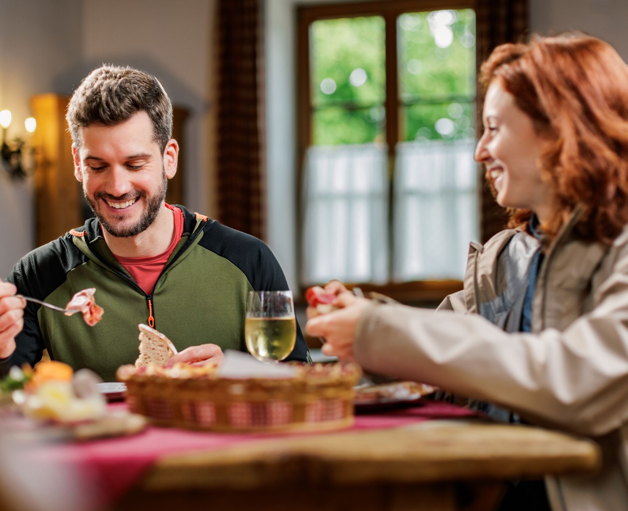
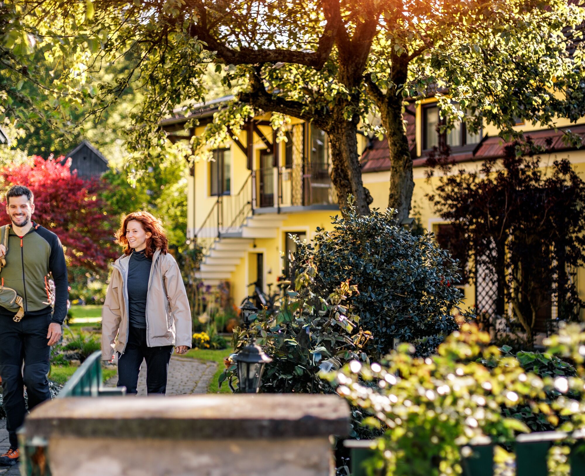
The route can be completed in one, two, three, or more days depending on interests and physical constitution and is signposted in both directions. Due to the many gastronomy and accommodation businesses, various route variants are possible.
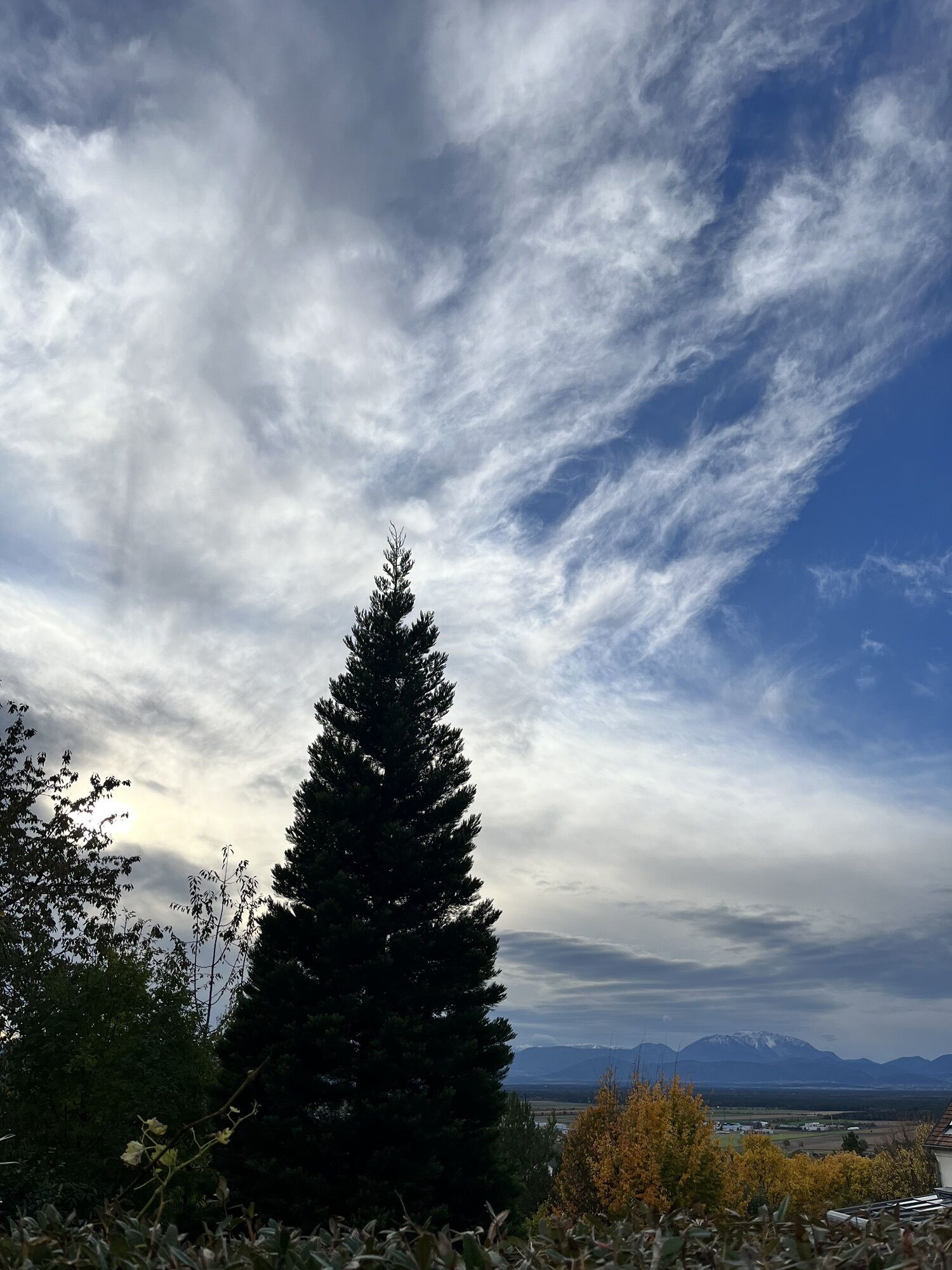
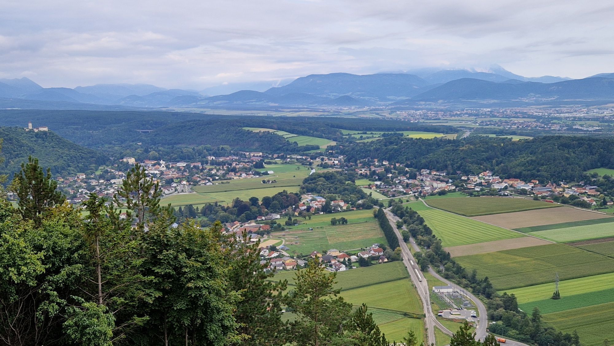
An attraction just a few steps from the Rosalia circular hiking trail is the 15-meter-high viewing tower Lanzenkirchen/Wiesen, which offers a breathtaking view over the Bucklige Welt and the nearby Alps. There are also other viewpoints, various museums, and nature experiences.

Recommended starting points:
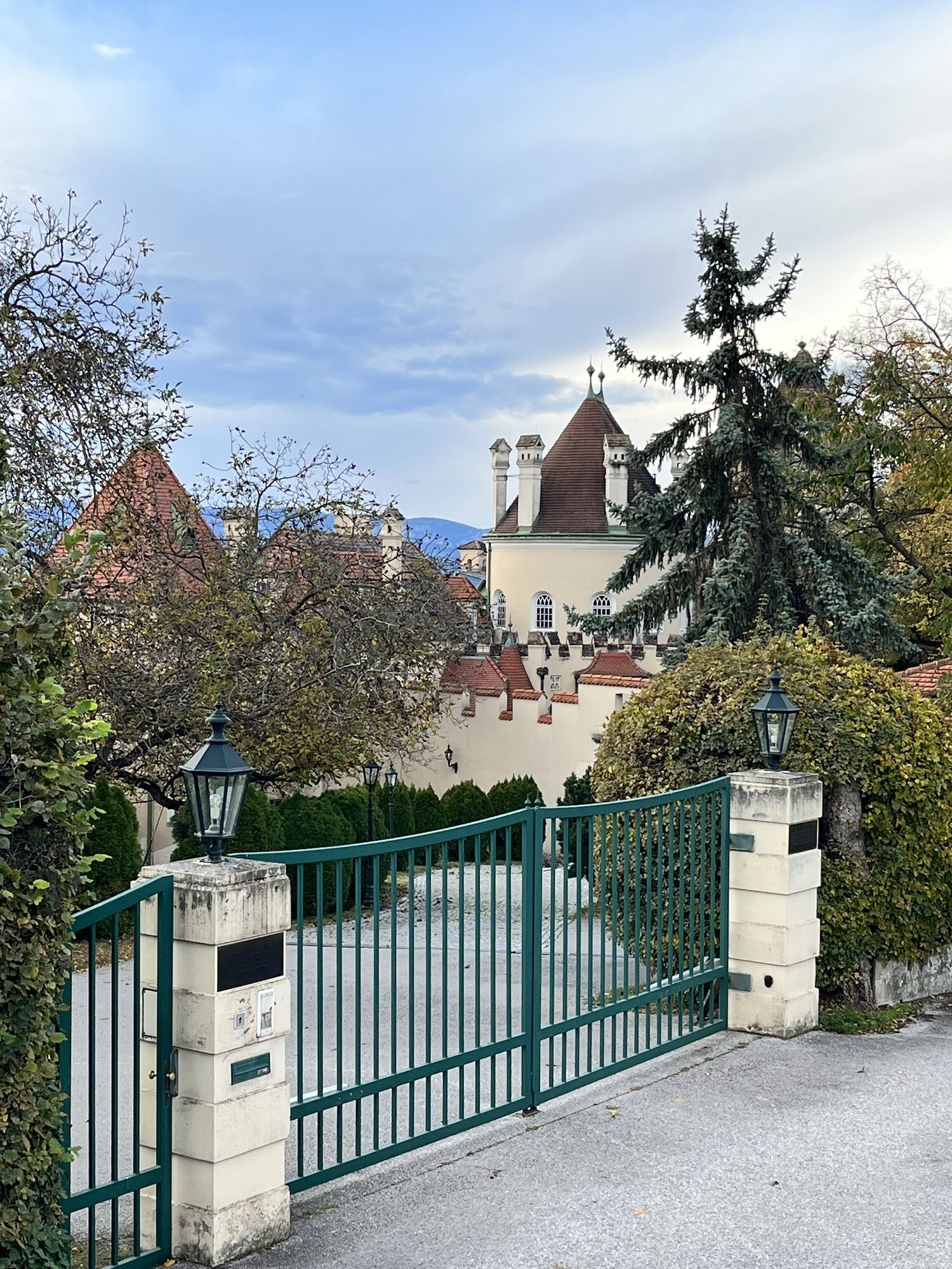
Katzelsdorf – Schlossstraße 1 (Katzelsdorf Castle) Lanzenkirchen – Parkallee 1 (NÖ Hof) Walpersbach – Parish church Bad Erlach – Fabriksgasse 1 (Raiffeisenbank) Pitten – Market square 1 (Municipality) Wiener Neustadt – Bahngasse 27 (Kasematten)
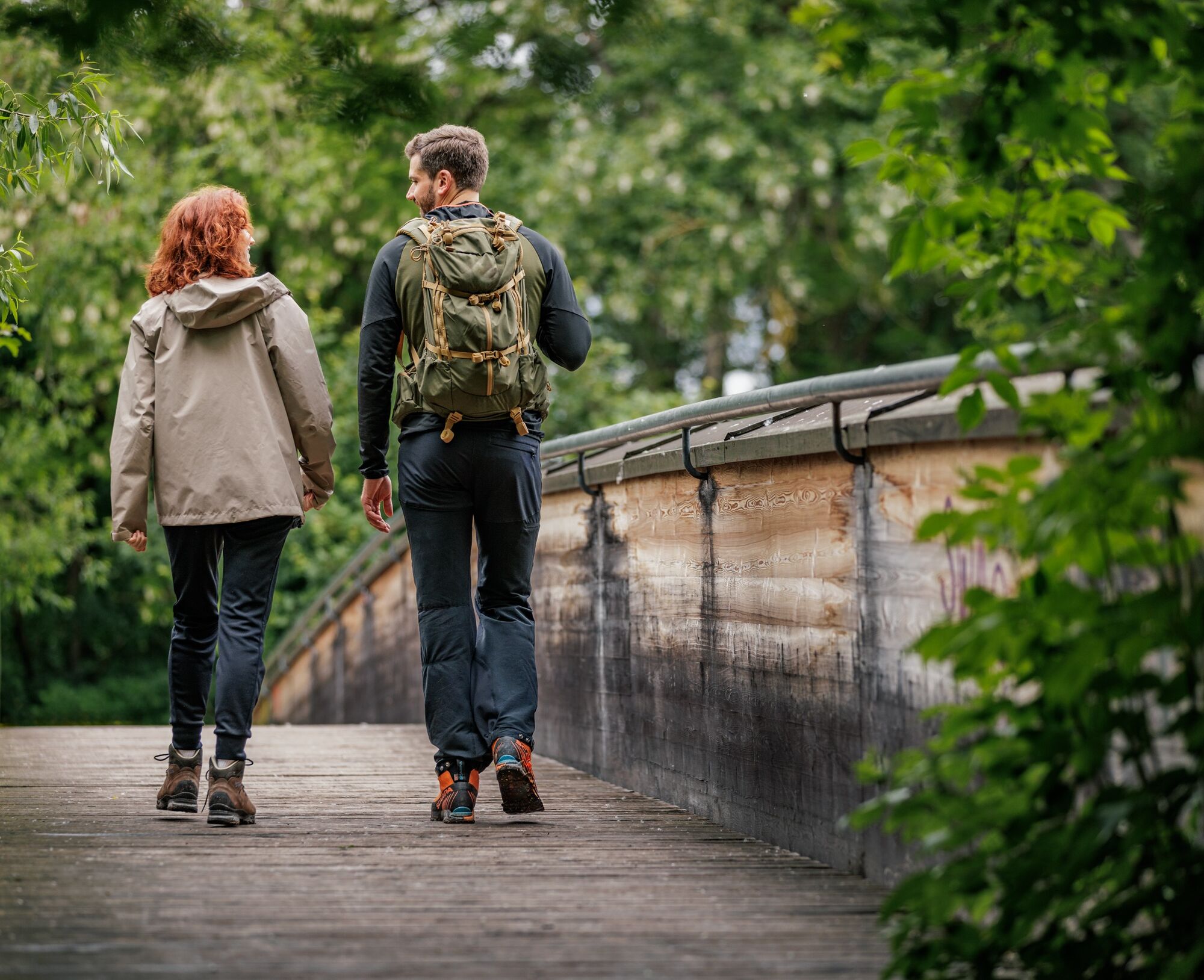
The Rosalia circular hiking route can be completed in two, three, four, or more days depending on interests and physical condition. It is signposted in both directions. Due to the many gastronomy and accommodation businesses, various route variants are possible.
Always take suitable maps with you. Wear sturdy shoes adapted to the route, bring sun and rain protection as well as water and a snack. Take your mobile phone and save the mountain rescue emergency number: 140
Your hikes in the Vienna Alps should be a thoroughly beautiful and safe experience. Please therefore note the following:
Preparation
Make sure when choosing the route that it matches your mountain experience and fitness. Inform yourself beforehand about the weather forecast. Weather in the mountains can change surprisingly quickly. Therefore, always set out properly equipped (e.g. rain protection).
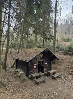
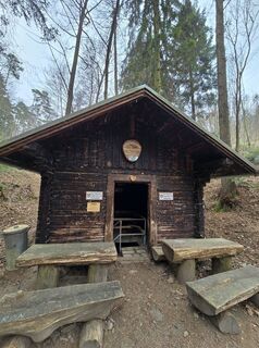
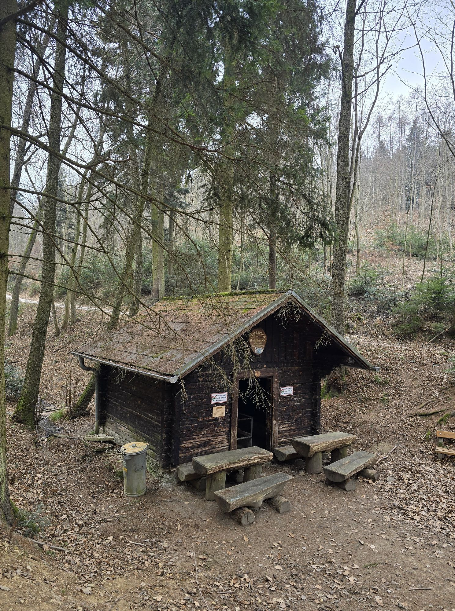
Check whether the huts and snack stations you want to visit are open. Inform someone about your chosen route and your planned return before you go.
The Wiener Neustadt station is easily accessible from Vienna and Graz. From there, regional trains run to the nearby starting points of the Rosalia circular hiking route:
Katzelsdorf stop – Mattersburger Bahn (start at Katzelsdorf Castle)
Lanzenkirchen station – Aspangbahn (start at Grandhotel NÖ Hof)
Bad Erlach station – Aspangbahn (start at the municipal office)
Pitten station – Aspangbahn (start at the municipal office)
Wiener Neustadt station – Südbahn (start at the Kasematten)
Alternatively, the towns are well connected by VOR regional buses, and a call-collect taxi also operates here.
Timetables
At all six starting points you will find parking facilities and local information.
You can find digital information at www.thermengemeinden.at/rosalia-rundwanderweg. A downloadable folder is also available there.
Connections & timetables at fahrplan.oebb.at
Car-free excursion and holiday tips: www.wieneralpen.at/autofrei
Recommended daily stages:
Wiener Neustadt - Eichbüchl: https://www.buckligewelt.info/a-rosalia-rundwanderweg-etappe-von-wr-neustadt-bis-eichbuechl
Eichbüchl - Klingfurth: https://www.buckligewelt.info/a-rosalia-rundwanderweg-etappe-eichbuechl-bis-klingfurth
Klingfurth - Pitten: https://www.buckligewelt.info/a-rosalia-rundwanderweg-etappe-klingfurth-bis-pitten
Pitten - Wr. Neustadt: https://www.buckligewelt.info/a-rosalia-rundwanderweg-etappe-pitten-bis-wr-neustadt
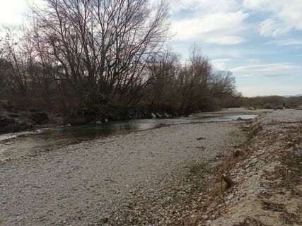
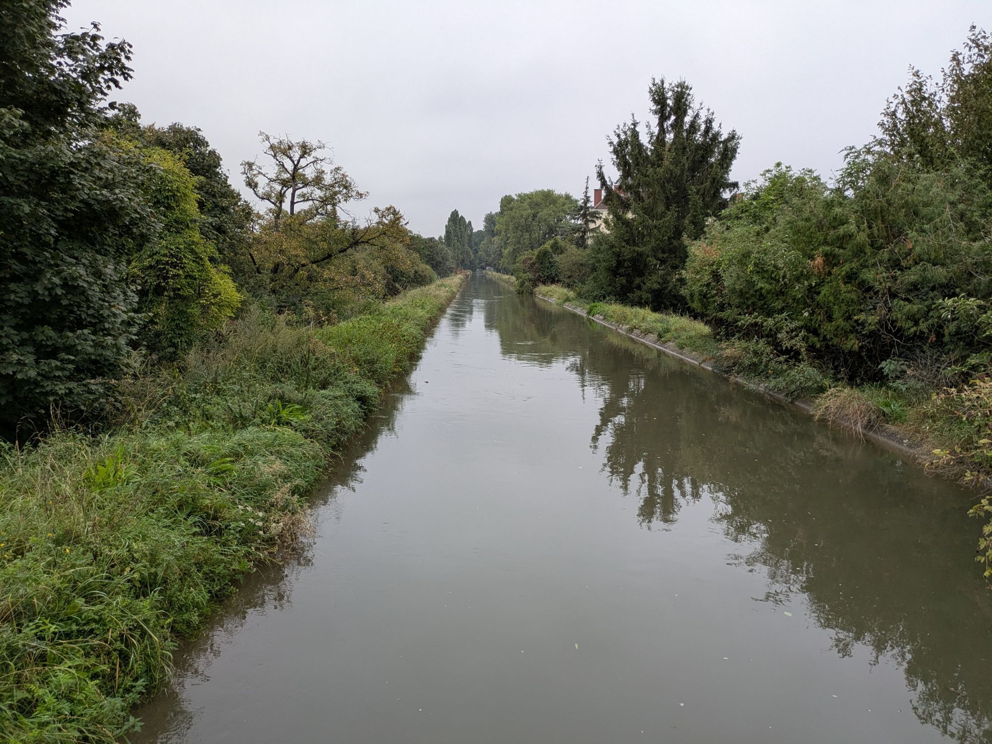
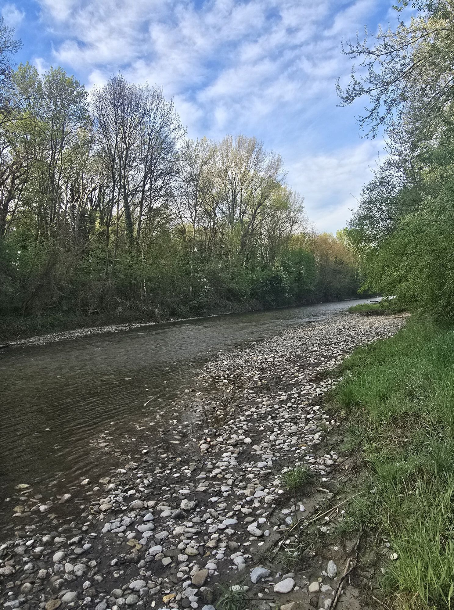
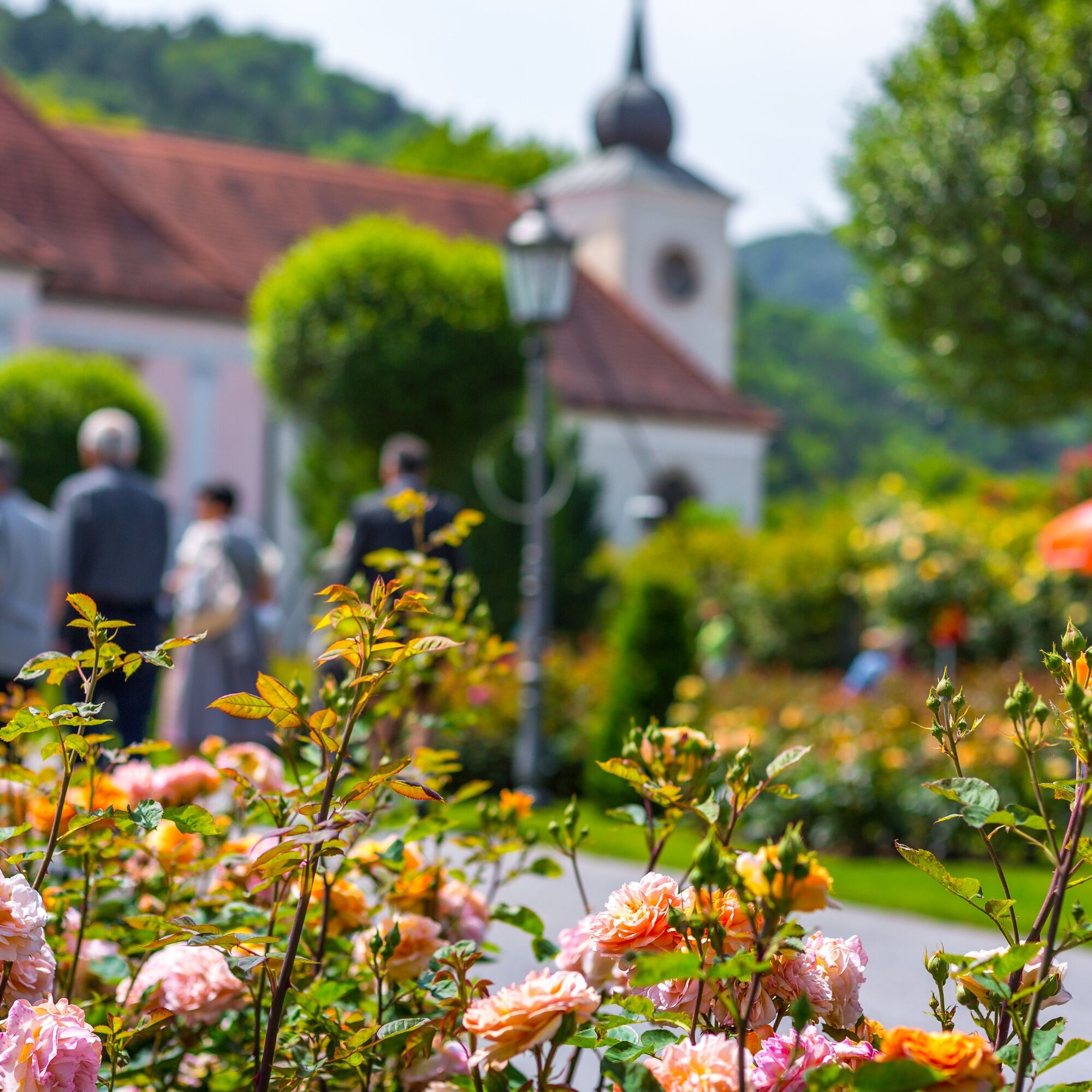
Along the route, there are many museums and nature experiences, which are marked on the map. You can find cooling off spots in the Leitha meadows or the shady forests.
Webové kamery z prehliadky
Obľúbené výlety v okolí
-
4,6
Bucklige Welt: Auf dem Pittentaler Klettersteig zum Türkensturz
strednáVia ferrata 1,96 km -
4,3
Türkensturz Rundwanderung
strednáTuristika 2,56 km -
4,0
Bergkraxler Klettersteig
strednáVia ferrata 3,35 km -
4,6
Milestone path, Seebenstein castle - Türkensturz
ťažkéTematická trasa 7,92 km -
4,7
B32 Rosalia bike route
strednáCyklistika 58,8 km -
3,7
Größenberg und Eisensteinhöhle - Angelos Touren
svetloTuristika 9,83 km -
5,0
Seebenstein - Türkensturz - Burg Seebenstein
svetloTuristika 7,50 km -
4,2
Gutensteiner Alpen: Der Malleitenberg
svetloTuristika 8,79 km -
5,0
Pittentalersteig
strednáVysoké turné 1,81 km -
4,0
Bucklige Welt: Türkensturz - Seebenstein
svetloTuristika 6,04 km
Turistika a stopovanie


Nenechajte si ujsť ponuky a inšpiráciu na ďalšiu dovolenku
Vaša e-mailová adresa bol pridaný do poštového zoznamu.