


Eichgraben High-Altitude Hiking Trail


Fotografie našich používateľov
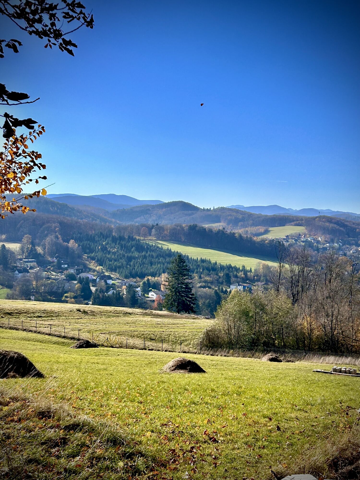
The Eichgraben high-altitude hiking trail and its 12 feeder paths lead through the most scenic areas of Eichgraben and its neighboring communities.
You hike in the Wienerwald Biosphere Park, reach beautiful...
The Eichgraben high-altitude hiking trail and its 12 feeder paths lead through the most scenic areas of Eichgraben and its neighboring communities.
You hike in the Wienerwald Biosphere Park, reach beautiful viewpoints, and experience culture and history - Roman-era tumulus necropolis

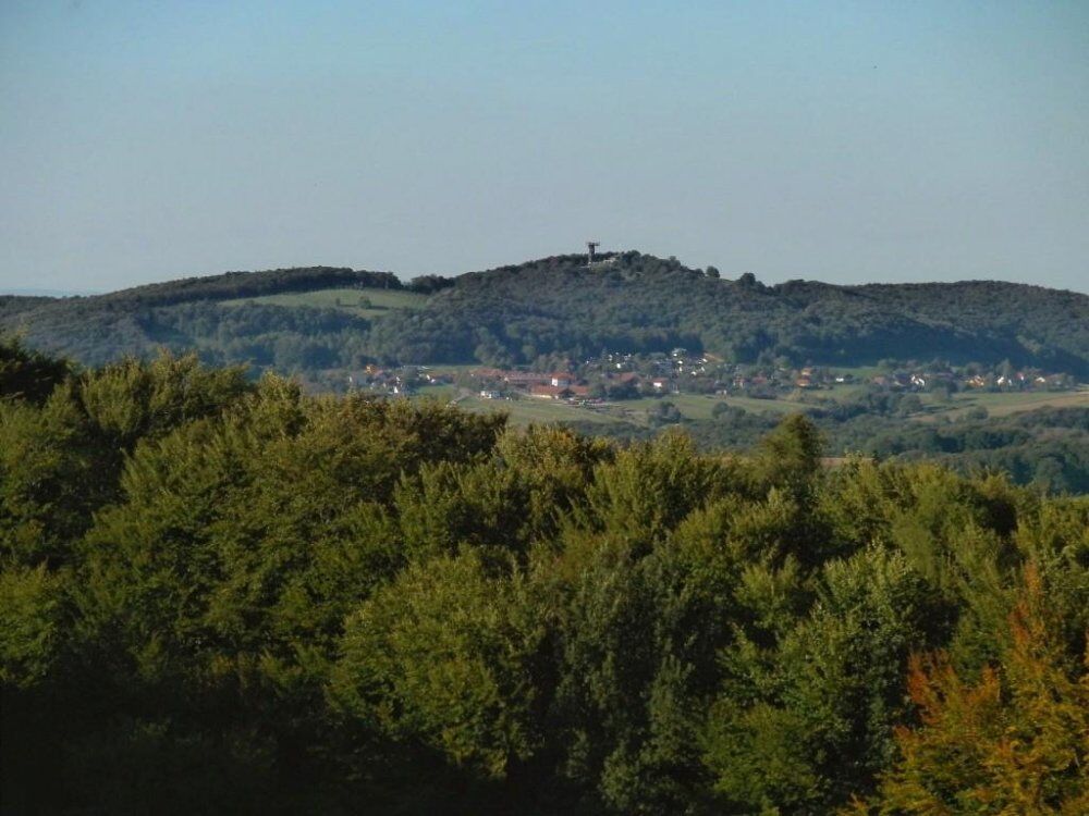

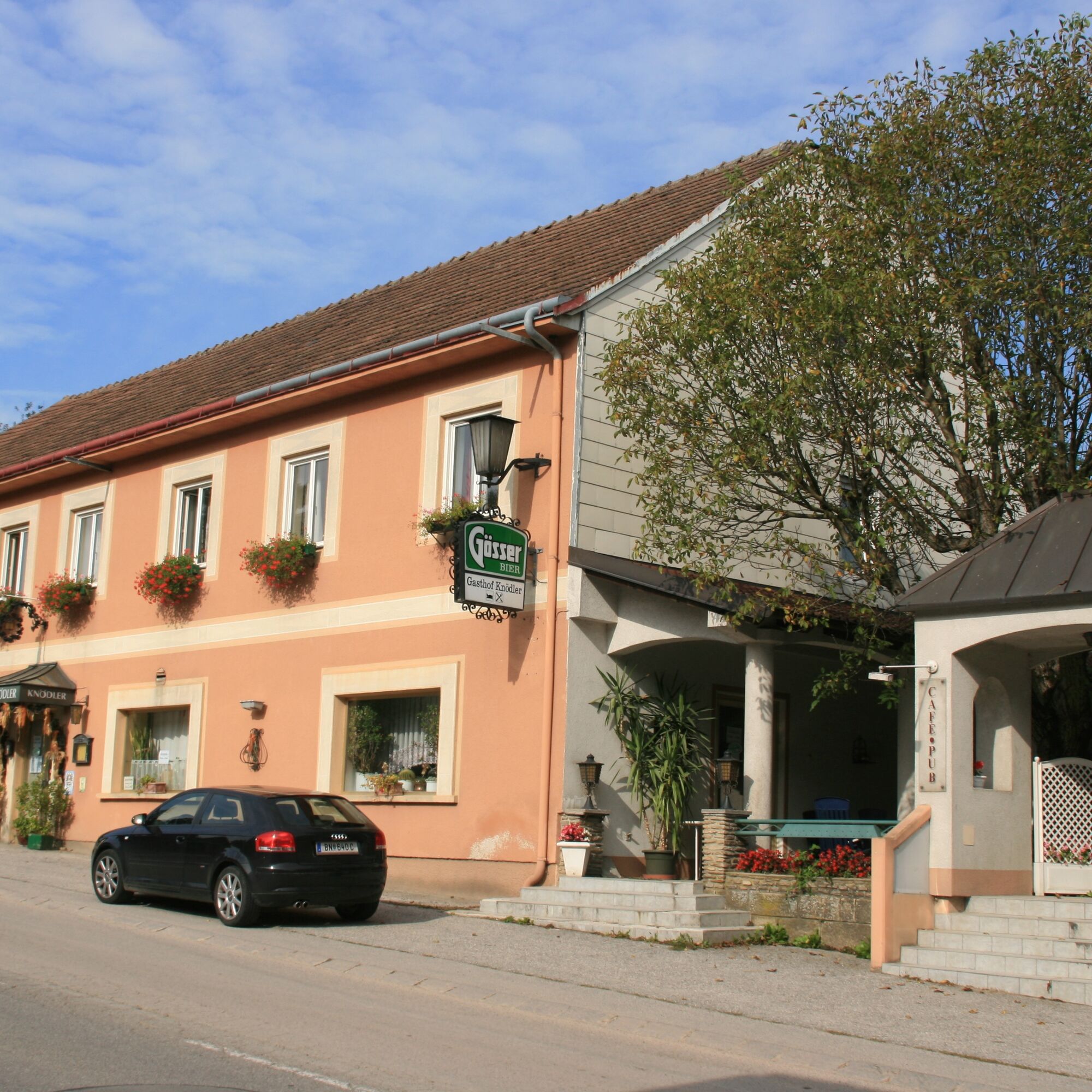
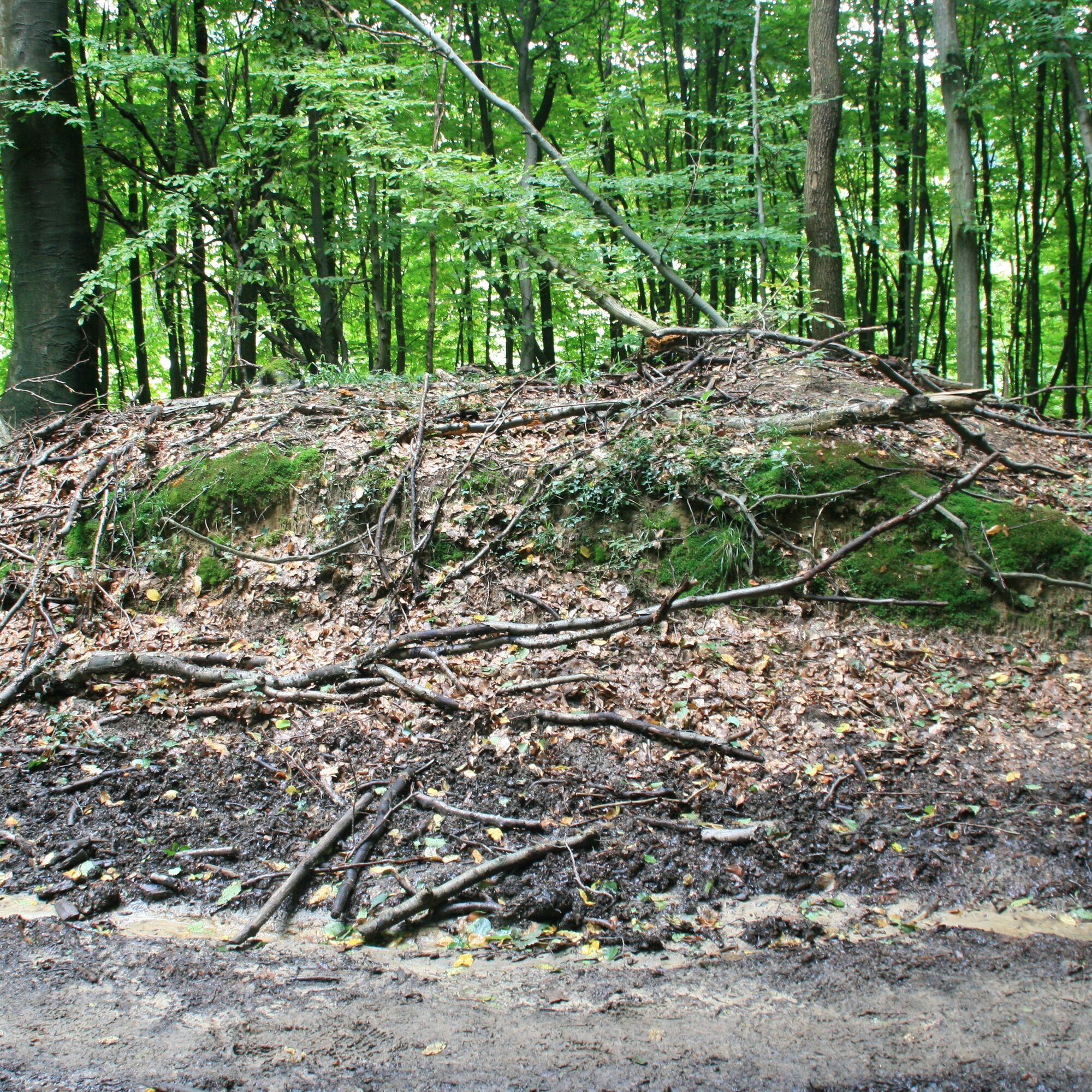
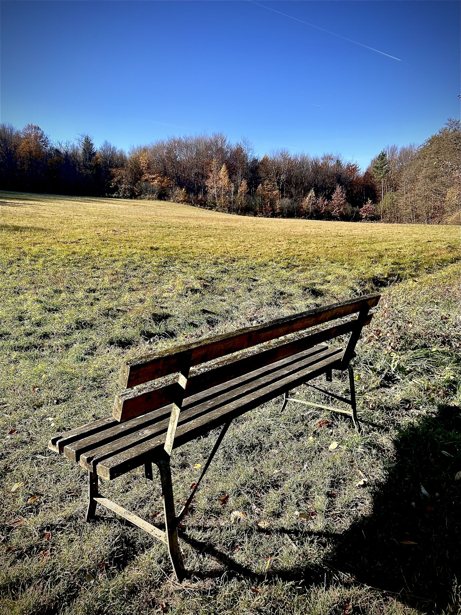
The easternmost point of the hiking trail is located in Rekawinkel (GH Mayer). From here, the forest path leads to Hochstraße. On the way, a table and benches invite you to rest at the “Praterstern.” Shortly after, at the junction of path 7, there is a viewpoint overlooking Eichgraben. You stand at the upper end of a quartz sandstone quarry that was active until 1940, whose material had very good properties and was used as a building material for retaining walls and bridge piers. From Hochstraße, it goes down into the Lengbach valley, past the Fallenzhof chapel (probably built after the Turkish wars – information panel). Shortly after, a life-sized nutcracker on the left draws attention. It points to the Gutscher company, one of the last turneries in Lower Austria. Reaching Altlengbach, the path gently ascends to Götzwiesen, the westernmost point of the high-altitude hiking trail with views of Schöpfl, Schneeberg, and Ötscher. Along the ridge, you hike past the Lingler organic farm and the northern district of Ottenheim down to Unter Oberndorf. Slightly ascending on a rarely used road, you reach the settlement of Erlaa. Here is one of the most significant and largest Roman-era tumulus necropolises in Lower Austria (information panel). Along the approximately 400 m long old path, the tumuli are clearly visible. An information panel explains the historical background. A replica of a tumulus is located in the Wienerwaldmuseum Eichgraben – Hauptstraße 17. The path continues flat and then slightly downhill. A wide view over the Tullnerfeld opens up. The forest path leads down to the “Römerstern.” Also here in the Finsterleiten district, there are tumuli, preceded by an information panel. Along wide meadows, with the Buchberg and its watchtower visible in the background, a forest road leads to Kaiserspitz. Not far from here, you arrive back at the starting point in Rekawinkel.
Áno
For example by train: stations Rekawinkel, Eichgraben-Altlengbach, Unter Oberndorf
Parking at Gasthof Mayer Rekawinkel
Alternatively in Eichgraben at the Wienerwaldmuseum or at the Eichgraben-Altlengbach station. From there, feeder paths lead to the high-altitude hiking trail
The complete fold-out map of the high-altitude hiking trail, its feeder paths, and a brochure with five hiking suggestions are available at the Eichgraben municipal office and the Wienerwaldmuseum. Both documents can also be downloaded from the internet.
The circular route described above can also be walked in the opposite direction, from a different starting point, or in stages.
Obľúbené výlety v okolí
-
4,7
Schöpfl
svetloTuristika 9,52 km -
3,9
Schöpfl von Sankt Corona
strednáTuristika 10,1 km -
4,8
Rundwanderung Gablitz Gemeindeamt - Troppberg - Rabenstein - Gablitz Gemeindeamt
svetloTuristika 12 km -
4,2
Von St. Corona auf den Schöpfl - Angelos Touren
svetloTuristika 6,68 km -
4,1
INNERMANZING Schoderleh Falkensteiner Htt. Hasenriegel Forsthof Edhof ret. 20230114
svetloTuristika 13,1 km -
4,7
Schöpfl von Kammhöhe aus
svetloTuristika 13,2 km -
4,0
RIEDERBERG Klosterruine Schliefgraben Sandling Heinratsberg Troppberg Rabenstein 20210518
strednáTuristika 14,2 km -
4,7
RIEDERBERG Troppberg retour 20200112
svetloTuristika 8,70 km -
3,5
St. Corona - Schöpfl
Turistika 5,50 km -
4,5
Troppberg Panorama route
ťažkéTuristika 16,6 km
Turistika a stopovanie


Nenechajte si ujsť ponuky a inšpiráciu na ďalšiu dovolenku
Vaša e-mailová adresa bol pridaný do poštového zoznamu.