


Circular Hiking Route Kapelln


This hike takes us around the municipality of Kapelln. Along the Petronilla stream, we reach Etzersdorf and then continue to Killing. In Katzenberg, we visit the oldest church in the parish area and then...
This hike takes us around the municipality of Kapelln. Along the Petronilla stream, we reach Etzersdorf and then continue to Killing. In Katzenberg, we visit the oldest church in the parish area and then hike uphill to the local mountain. Furthermore, we pass by Thalheim Castle, the so-called “Stierschweif” and the “Andreas Friedenswarte”.

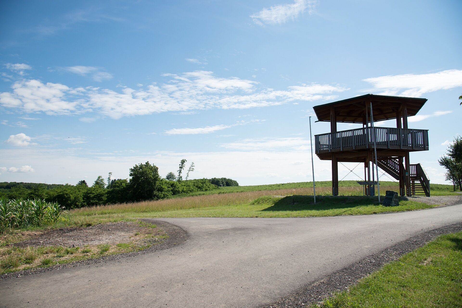
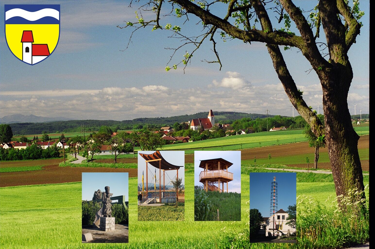
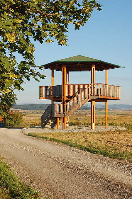
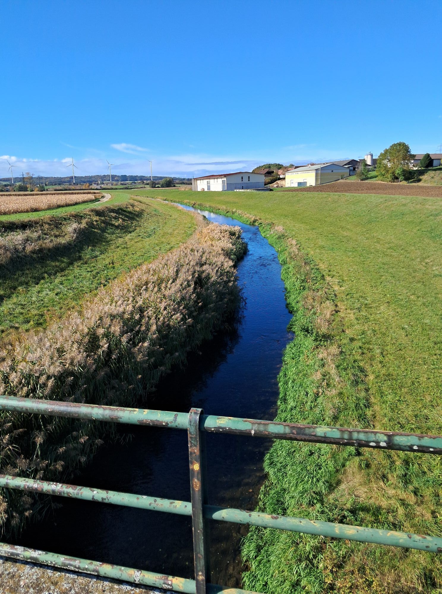
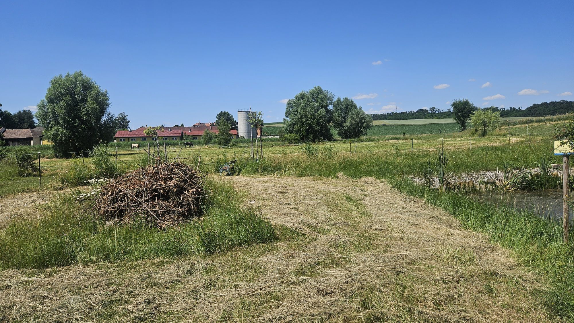
From the starting point at the parish church, the path leads along the Petronilla stream to Etzersdorf, crosses the state road towards Gutenbrunner Forest. Here, the circular hiking route also crosses the Jakobsweg. It continues eastwards to Killing. Following the Perschling river upstream to Katzenberg, where you will find the oldest church in the parish area. Here you cross the federal road and follow an asphalted field path uphill to the local mountain and follow the direction arrows along the edge of the forest to a meadow at Rassing. It continues to the village road to Obermiesting and via a meadow path to Thalheim, where you can enjoy a magnificent view of the newly renovated Thalheim Castle. Following the arrows, you reach the edge of the forest to Pönning and along the Rapolten stream to the village of Rapoltendorf. An asphalted field path leads to the “Stierschweif”. After the “Andreas Friedenswarte”, it goes towards Rassing. Along the left bank of the Perschling, a meadow path leads to the sports facility Kapelln. From here, it goes back towards Church Square at the starting point.
Comfortable hiking clothing and shoes.
Coming from the A1, keep right at the St. Pölten junction and continue towards Krems/St. Pölten-East. Stay on the S33 for 5 kilometers and then turn onto the B1 (Pottenbrunner Main Road). Follow this road to Kapelln.
From St. Pölten, take bus 1522 towards Traismauer Post Office and change in Herzogenburg Roseggerring to bus line 547 towards Sieghartskirchen Volksschule.
Parking available in the town center of Kapelln.
Obľúbené výlety v okolí
-
4,8
Circular hiking trail "Maria Elend"
svetloTuristika 11,8 km -
2,8
Tullnerfeld cycle path
strednáCyklistika 71,9 km -
4,5
Circular hiking route to Seelackenberg
svetloTuristika 10,0 km -
4,8
Übers "Loamstückl" zur Wetterkreuzkirche
svetloTuristika 6,83 km -
4,9
Traisental MTB Potpourri
strednáMountainbike 27,9 km -
4,8
Circular hike to Buchberg lookout
svetloTuristika 9,24 km -
4,4
Hegerberg
svetloTuristika 8,06 km -
4,5
Circular hike "Stilles Tal" - Kasten
svetloTuristika 4,12 km -
5,0
Dunajská cyklocesta, 6. etapa severný breh – Krems - Tulln
strednáDiaľková cyklotrasa 41,3 km -
4,8
Drei-Seen-Runde St. Pölten
svetloTuristika 5,02 km
Turistika a stopovanie


Nenechajte si ujsť ponuky a inšpiráciu na ďalšiu dovolenku
Vaša e-mailová adresa bol pridaný do poštového zoznamu.