


Erlebnisweg Sieg | Heath route | Siegburg-Troisdorf
Úroveň náročnosti: T1


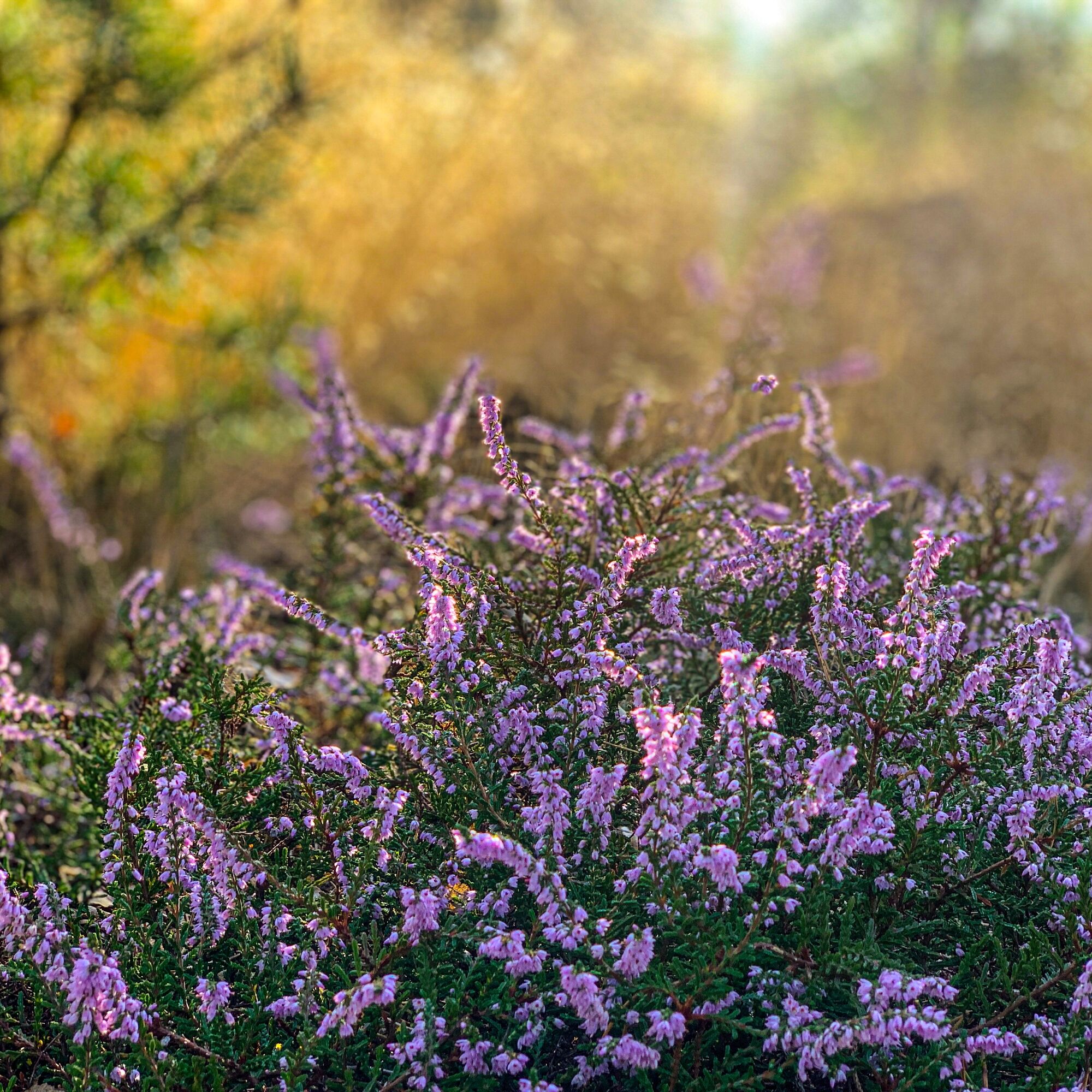
The Wahner Heide with its sandy paths is one of the most exceptional landscapes in the Nature Region Sieg. Besides crossing the more than 5,000 ha large protected area, the low-gradient circular hike leads...
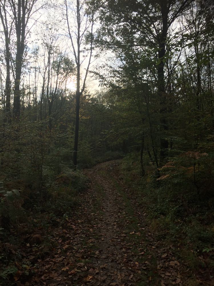
The Wahner Heide with its sandy paths is one of the most exceptional landscapes in the Nature Region Sieg. Besides crossing the more than 5,000 ha large protected area, the low-gradient circular hike leads mostly through the Lohmar forest. There you encounter individual ponds and exciting swamp areas that are home to rare animal and plant species.

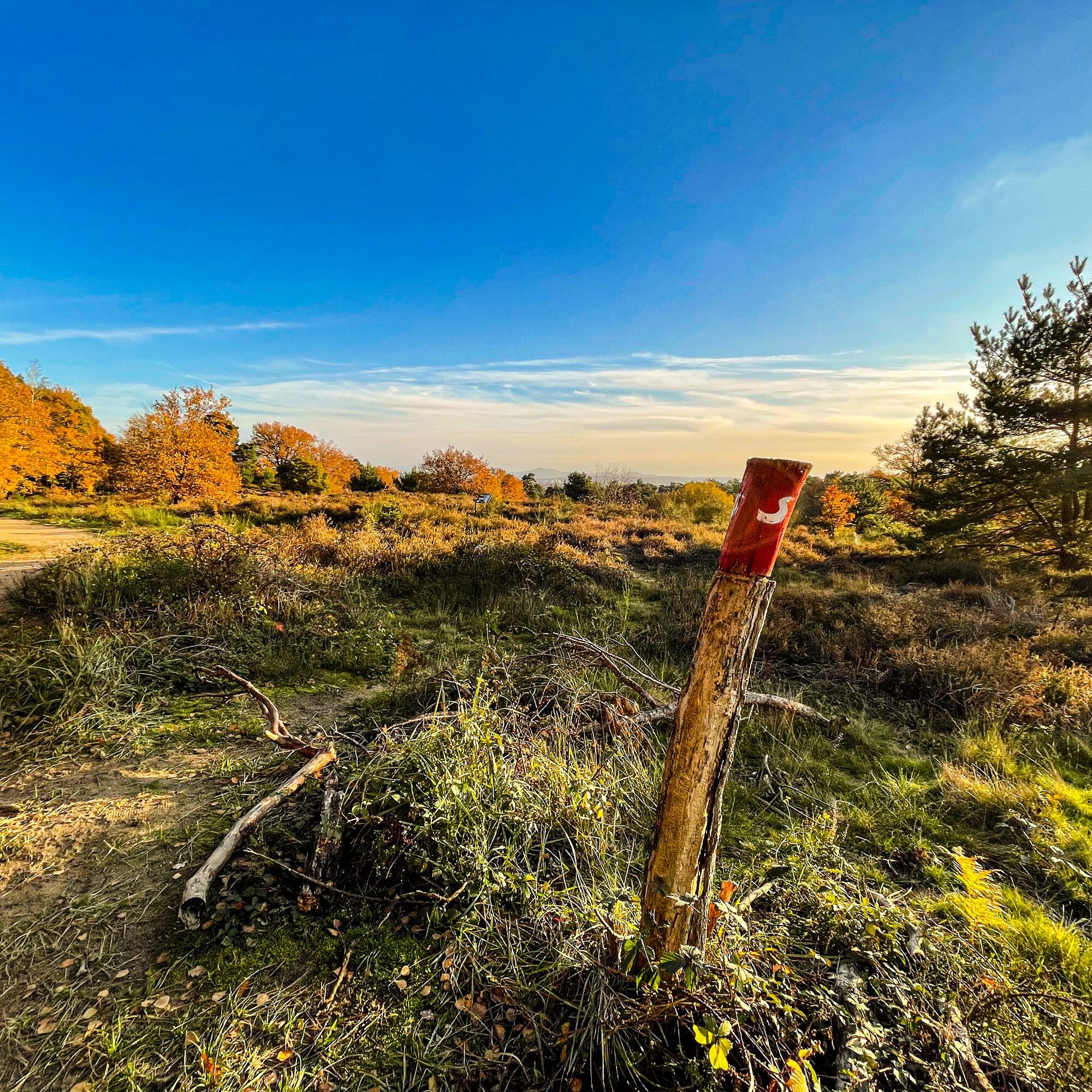
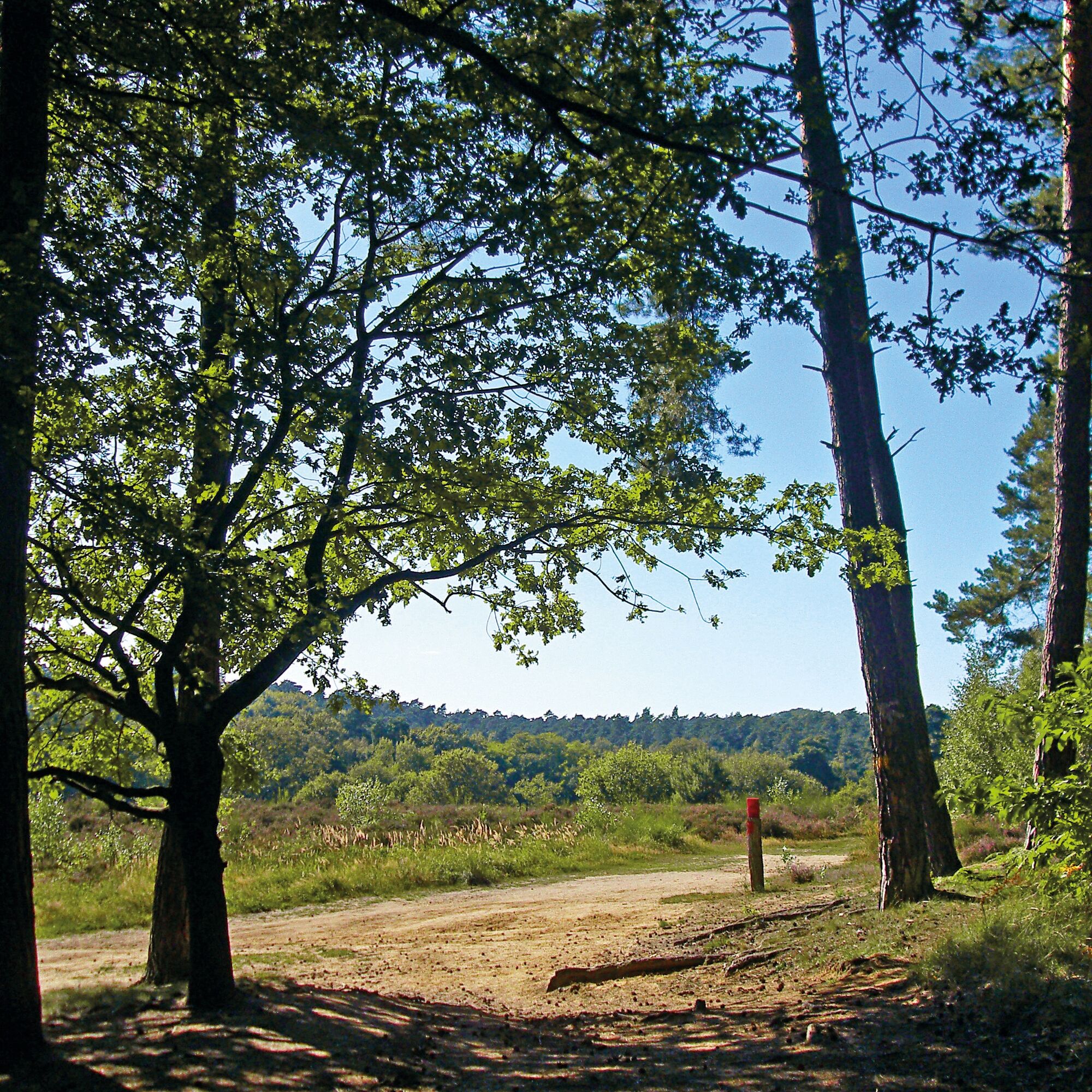

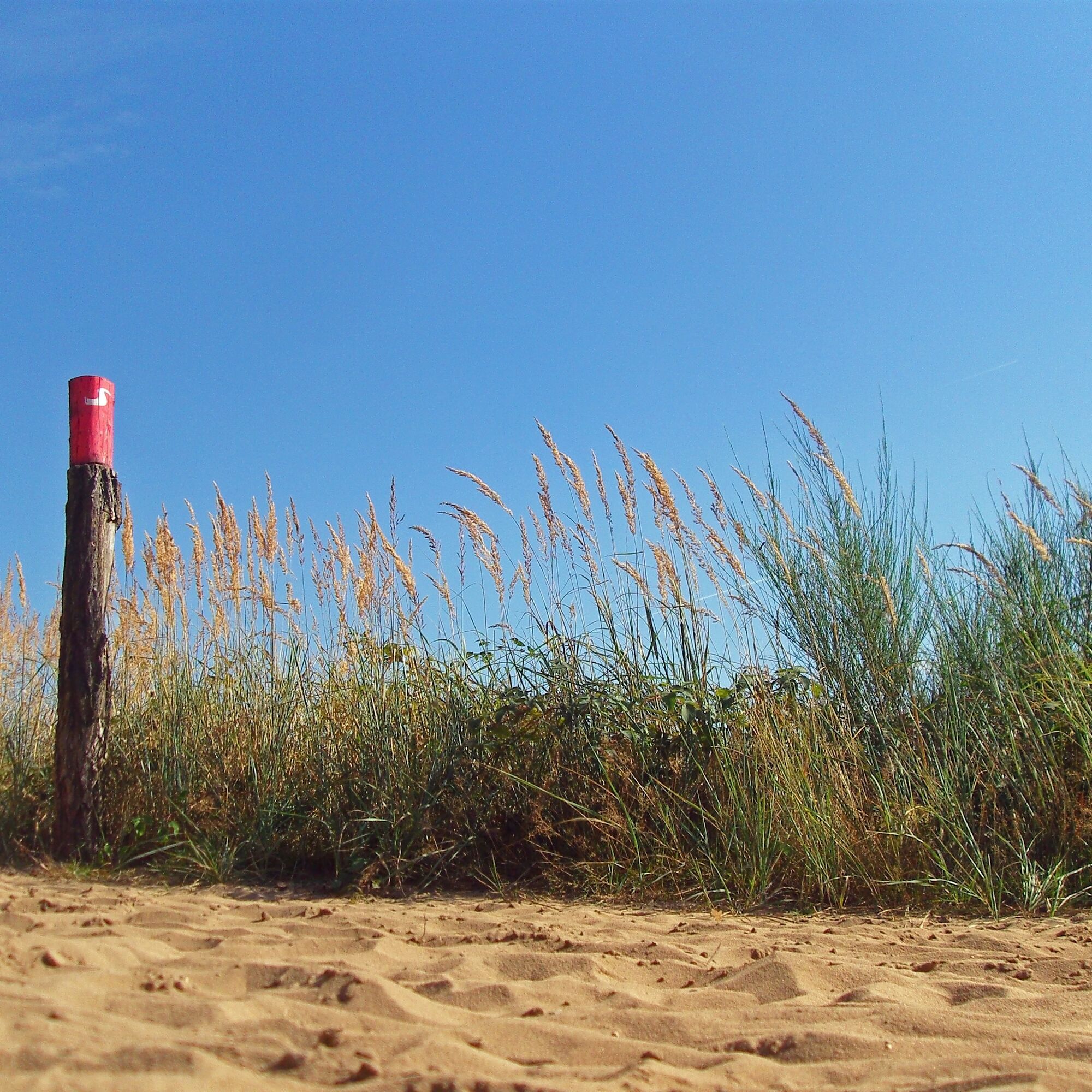
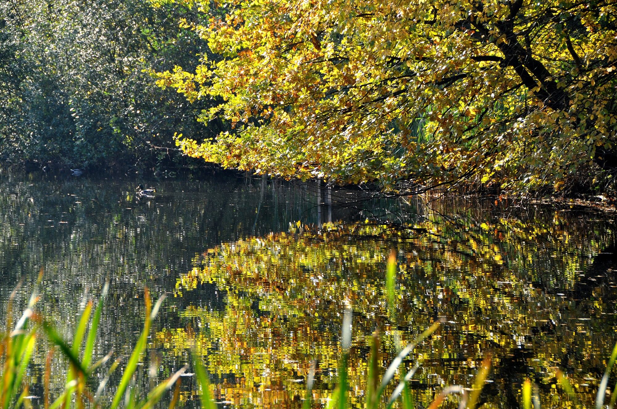
From the Siegelsknippen hiking car park, a long forest road leads you deep into the woods – the noise from nearby urban areas is only faintly audible here. Afterwards, it goes in the direction of Lohmar. After passing through the town center, you have the opportunity to enjoy a cozy stop by the river. After crossing the Agger meadows, the entrance to the Wahner Heide nature reserve begins. A narrow path leads you uphill past Kronenweiher, which is home to toads, newts, and grass snakes. The route runs along the edge of the forest and offers a beautiful view of the open heath and stout pines. In the middle of the forest lies the idyllic Leyenweiher, where benches invite you to rest. With a bit of luck, you may spot ducks, moorhens, or herons hunting. The route leads again through the forest with its mighty, old trees and past the Aggerstadion along a floodplain landscape towards Siegburg. After crossing the Agger once more, you reach the species-rich nature reserve "Gagelbestand," a heath moor with some beautiful ponds and aromatic fragrant shrubs. In a wide arc, it goes back into the Lohmar forest, where fish ponds and dense forest make you forget the noise of nearby federal roads and motorways. A broad forest path leads you straight to Stallberg, later a pretty path winds on to Kaldauen. Benches invite you to rest again. After some changes of direction, you return to the hiking car park.
Sturdy footwear and weather-appropriate clothing
Please stay on the paths. You are in a nature reserve; many of the animal species native to the Wahner Heide are endangered. Part of the heath is a military security area; the site was used for military purposes in the past and is often contaminated with ammunition.
A3, AS Lohmar – B484 – B56 – Heide, turn right at the town entrance to the hiking car park at Siegelsknippen. Alternatively: A3, AS Wilddauer Wald, follow main road signs towards Aggerstadion to the hiking car park.
Line 506 (VRS) Troisdorf station, Grundschule Heerstraße stop
Departure times Grundschule Heerstraße stop
Lines 511, 577, SB56 (VRS), Franzhäuschen stop
Hiking car park Siegelsknippen, 53721 Siegburg
T1
Stamp location: Hiking sign at Aggerstadion
The Erlebniswege Sieg are fully marked with the red logo. Boards with overview maps and further information on refreshment and accommodation options as well as sights can be found at the starting points of each Erlebnisweg.
Burg Wissem with interactive permanent exhibition about the Wahner Heide
Webové kamery z prehliadky
Obľúbené výlety v okolí
-
4,0
Königsforst, Köln, 10,5 km
svetloTuristika 10,3 km -
4,3
Erlebnisweg Sieg | Moorwaldweg | Troisdorf
strednáTuristika 8,50 km -
5,0
Experience Path Sieg | Three-Valley Route | Hennef
ťažkéTuristika 16,3 km -
Königswinter - Heisterbach Monastery Landscape
strednáTuristika 10,6 km -
Biergarten Radtour Bonn & Königswinter
Cyklistika 27,9 km -
4,8
Kirschblüten-Tour Bonn & Beuel
strednáCyklistika 25,0 km -
Natursteig Sieg | Stage 02 | Hennef–Stadt Blankenberg
strednáTuristika 17,9 km -
4,0
Experience trail Sieg | Burgweg | Town Blankenberg
svetloTuristika 5,83 km -
5,0
Bergbauweg
strednáTuristika 13,0 km -
Stachelhart
svetloTuristika 10,1 km
Turistika a stopovanie


Nenechajte si ujsť ponuky a inšpiráciu na ďalšiu dovolenku
Vaša e-mailová adresa bol pridaný do poštového zoznamu.