


Granite Beer Route: Complete tour


Fotografie našich používateľov
-
 © WanderfuxVytvorené dňa 01.12.2022
 -
 © WanderfuxVytvorené dňa 01.12.2022
 -
 © WanderfuxVytvorené dňa 01.12.2022
 -
 © WanderfuxVytvorené dňa 01.12.2022
 -
 © Michael KoglerVytvorené dňa 16.07.2025
 -
 © Erwin KrumböckVytvorené dňa 20.09.2024
 -
 © Erwin KrumböckVytvorené dňa 20.09.2024
 -
 © Erwin KrumböckVytvorené dňa 20.09.2024
 -
 © Erwin KrumböckVytvorené dňa 20.09.2024
 -
 © Erwin KrumböckVytvorené dňa 20.09.2024
 -
 © Erwin KrumböckVytvorené dňa 20.09.2024
 -
 © WanderfuxVytvorené dňa 13.03.2023
 -
 © WanderfuxVytvorené dňa 13.03.2023
 -
 © WanderfuxVytvorené dňa 13.03.2023
 -
 © WanderfuxVytvorené dňa 13.03.2023
 -
 © WanderfuxVytvorené dňa 13.03.2023
 -
 © WanderfuxVytvorené dňa 13.03.2023
 -
 © WanderfuxVytvorené dňa 10.02.2023
 -
 © WanderfuxVytvorené dňa 10.02.2023
 -
 © WanderfuxVytvorené dňa 10.02.2023
 -
 © WanderfuxVytvorené dňa 01.12.2022
 -
 © WanderfuxVytvorené dňa 01.12.2022
 -
 © WanderfuxVytvorené dňa 01.12.2022
 -
 © WanderfuxVytvorené dňa 01.12.2022
 -
 © WanderfuxVytvorené dňa 01.12.2022
 -
 © WanderfuxVytvorené dňa 03.11.2022
 -
 © WanderfuxVytvorené dňa 03.11.2022
 -
 © WanderfuxVytvorené dňa 03.11.2022
 -
 © WanderfuxVytvorené dňa 03.11.2022
 -
 © WanderfuxVytvorené dňa 03.11.2022
 -
 © heidexVytvorené dňa 23.10.2022
 -
 © heidexVytvorené dňa 23.10.2022
 -
 © WanderfuxVytvorené dňa 13.10.2022
 -
 © WanderfuxVytvorené dňa 13.10.2022
 -
 © WanderfuxVytvorené dňa 13.10.2022
 -
 © WanderfuxVytvorené dňa 13.10.2022
 -
 © WanderfuxVytvorené dňa 13.10.2022
 -
 © WanderfuxVytvorené dňa 13.10.2022
 -
 © WanderfuxVytvorené dňa 13.10.2022
 -
 © WanderfuxVytvorené dňa 13.10.2022
 -
 © WanderfuxVytvorené dňa 13.10.2022
 -
 © WanderfuxVytvorené dňa 13.10.2022
 -
 © WanderfuxVytvorené dňa 13.10.2022
 -
 © Josef HumerVytvorené dňa 04.11.2025
 -
 © Burgim65Vytvorené dňa 30.05.2025
 -
 © Burgim65Vytvorené dňa 30.05.2025
 -
 © Burgim65Vytvorené dňa 05.05.2025
 -
 © ReginaStVytvorené dňa 07.09.2024


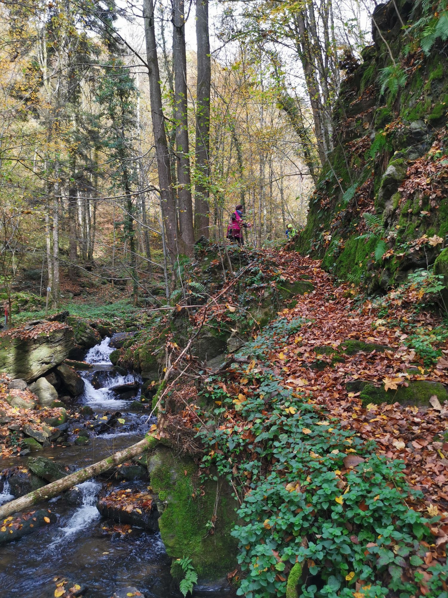


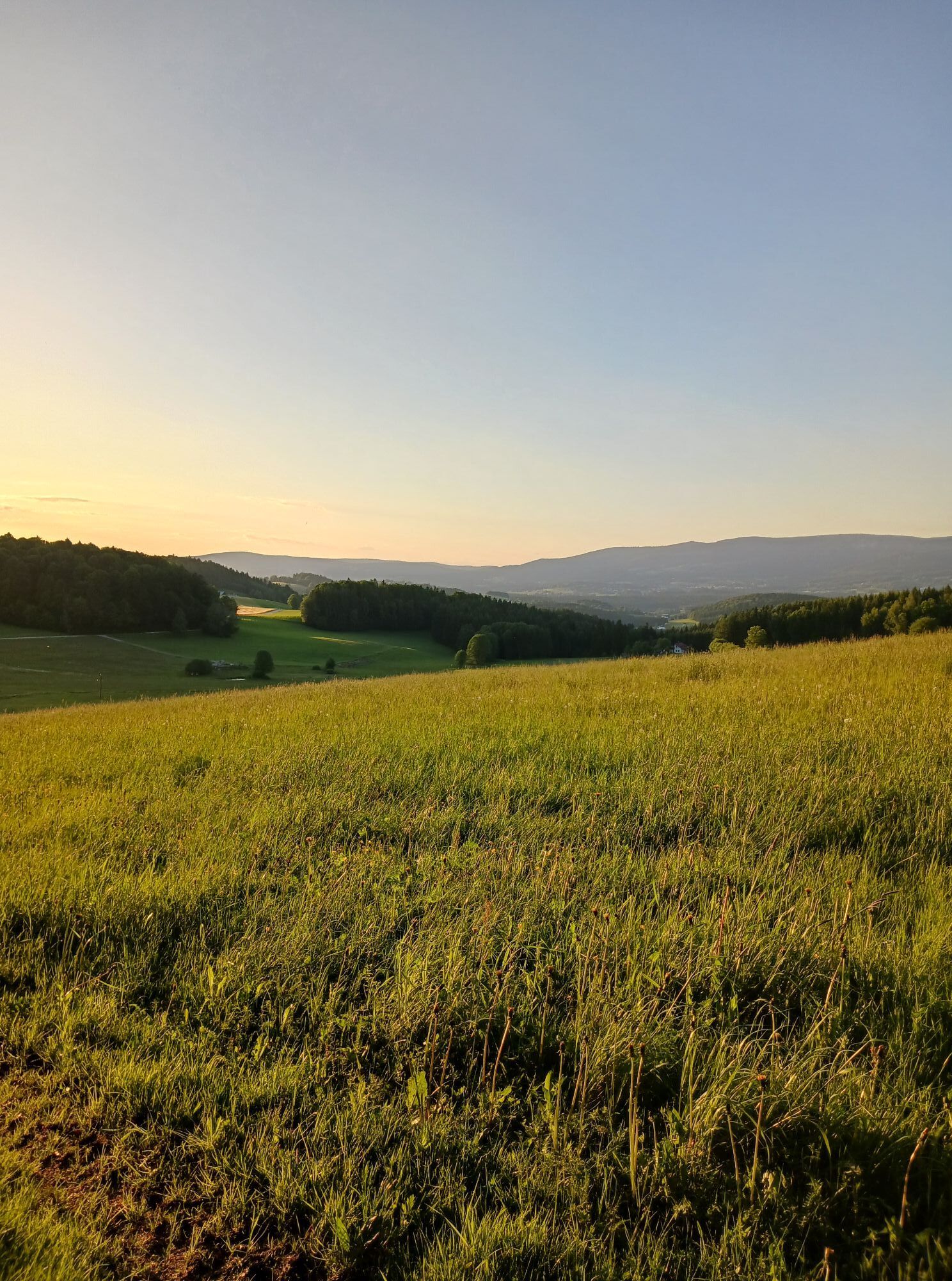
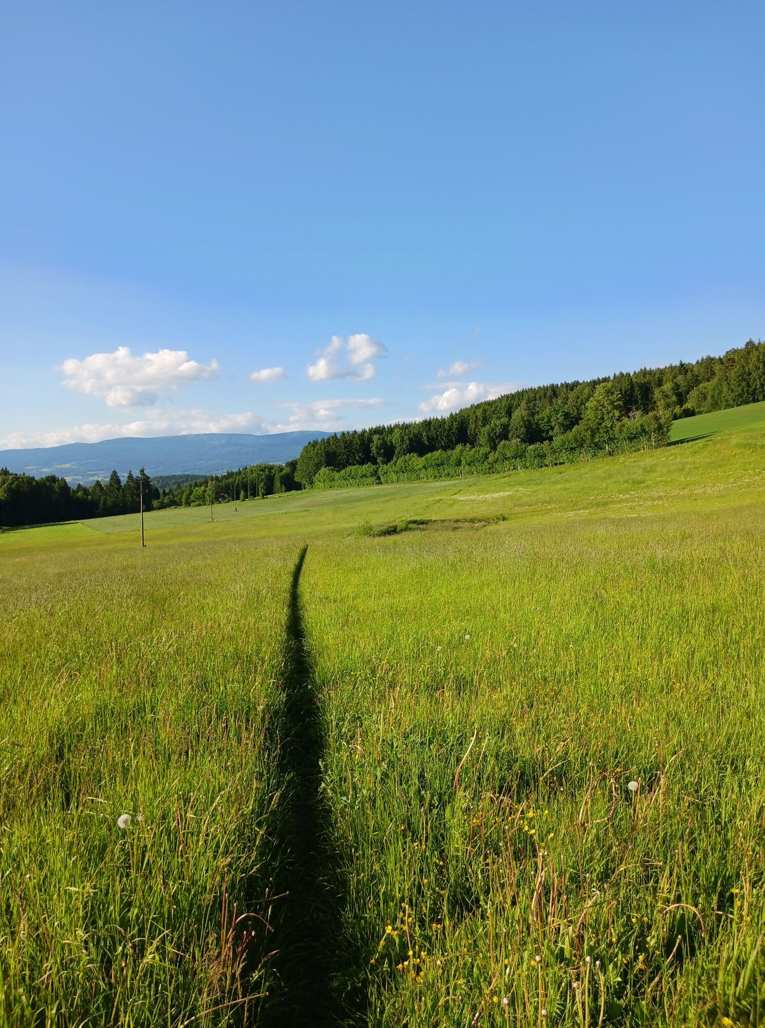

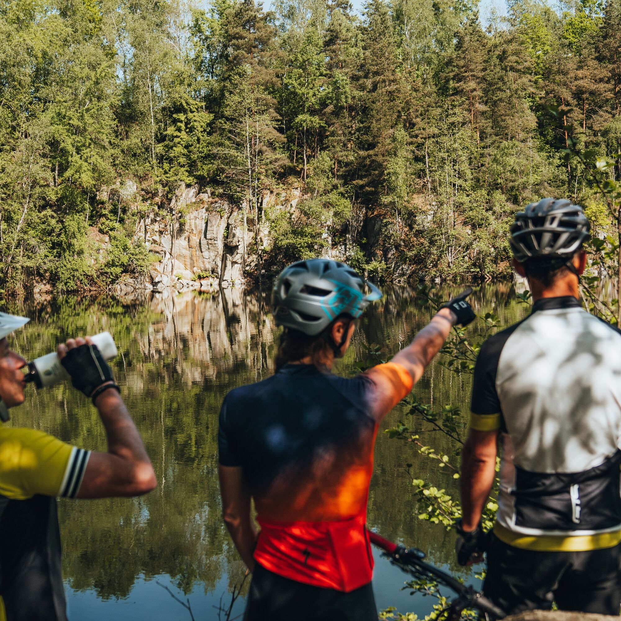
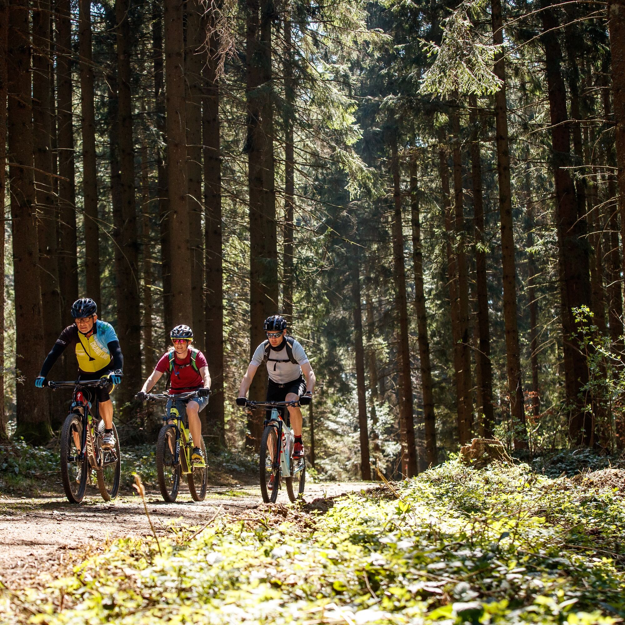
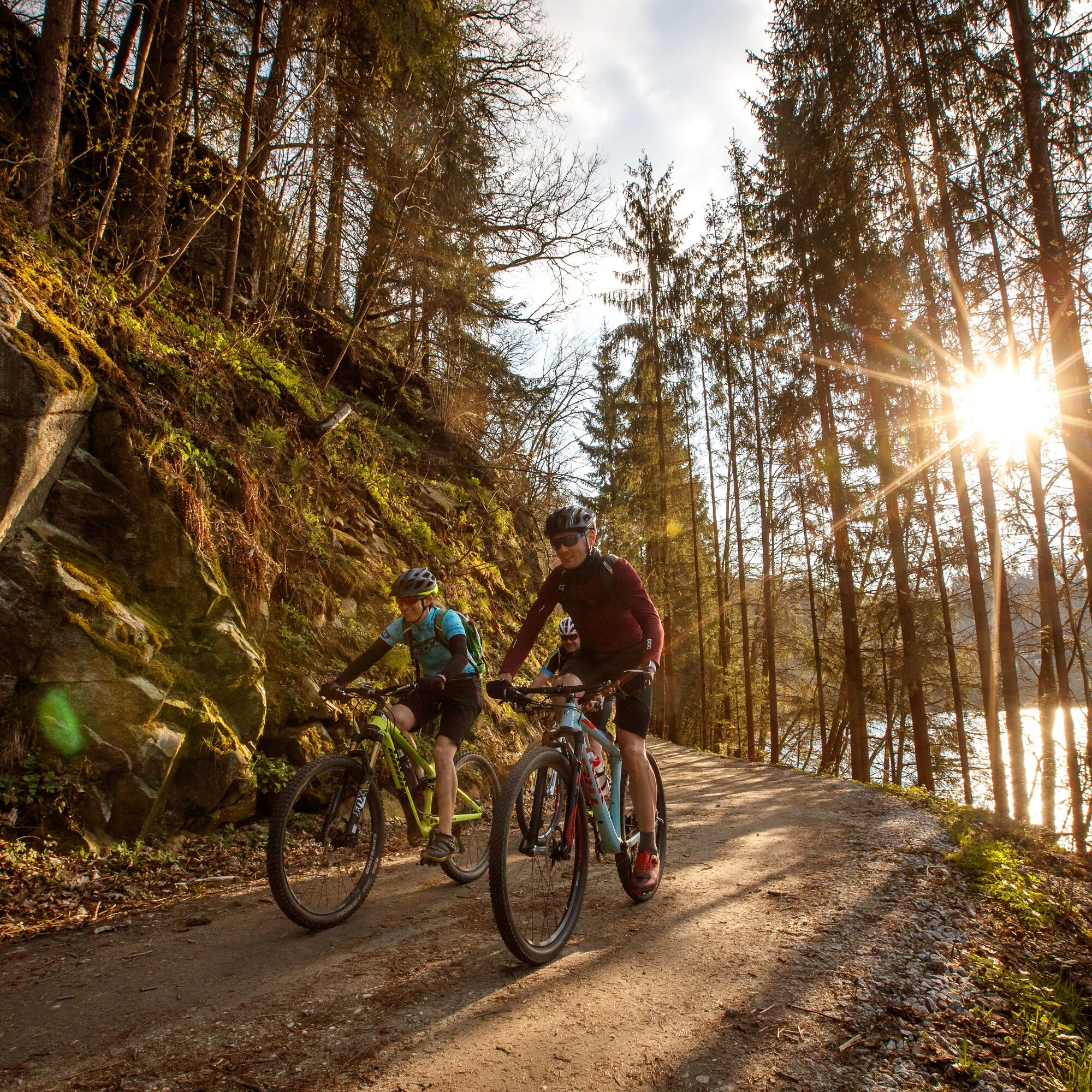
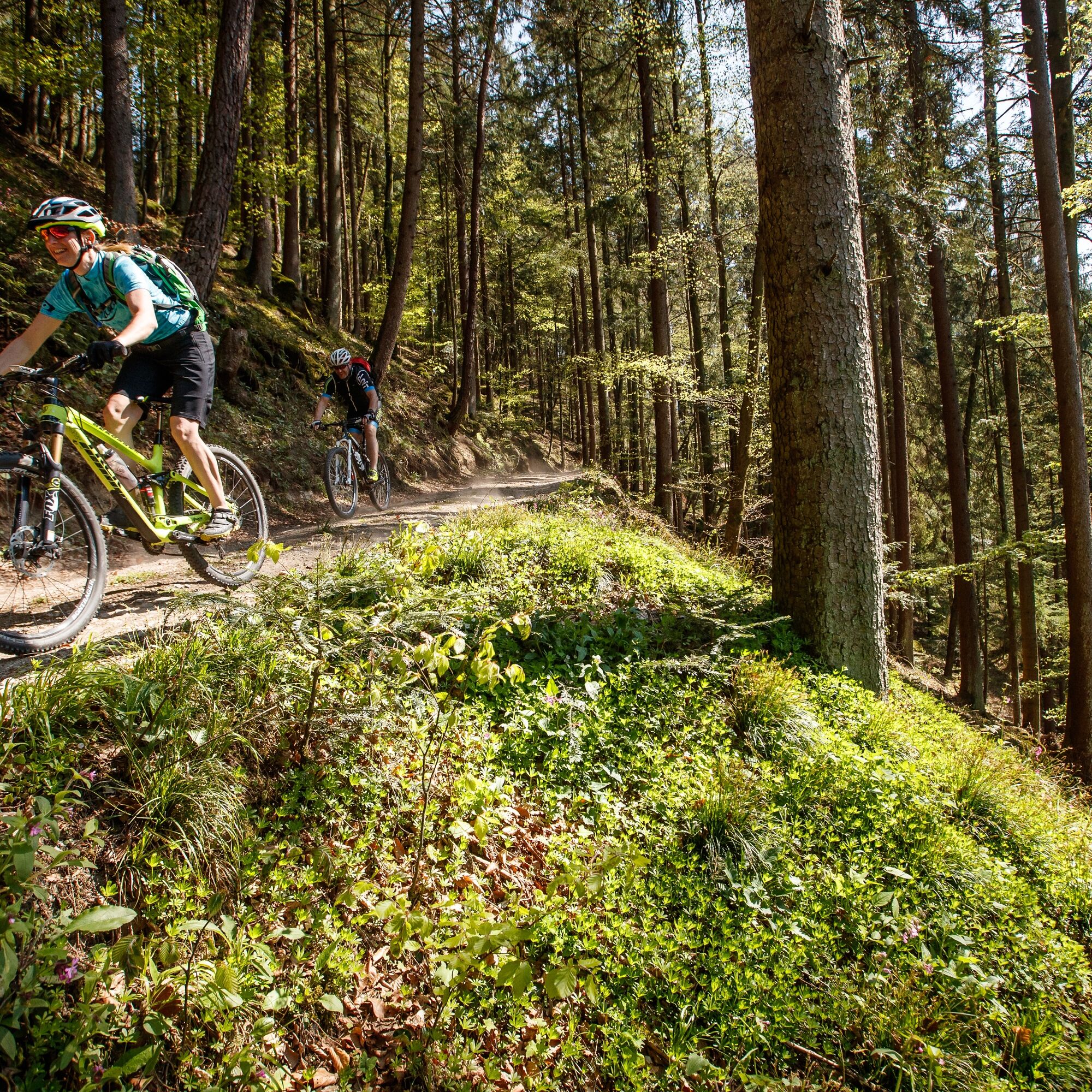
The Mühlviertler granite (high)land – Majestic above the Alpine foothills, magnificent distant views, rustic mixed forests, amber-colored streams, scattered farming hamlets... Over millions of years the...
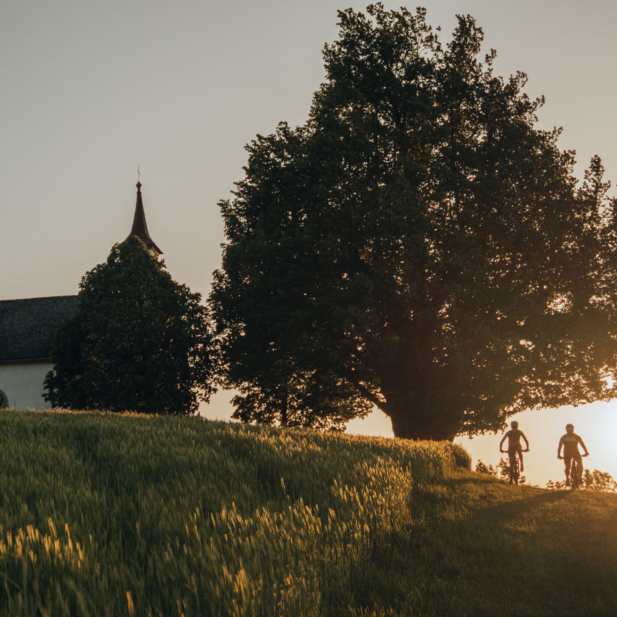
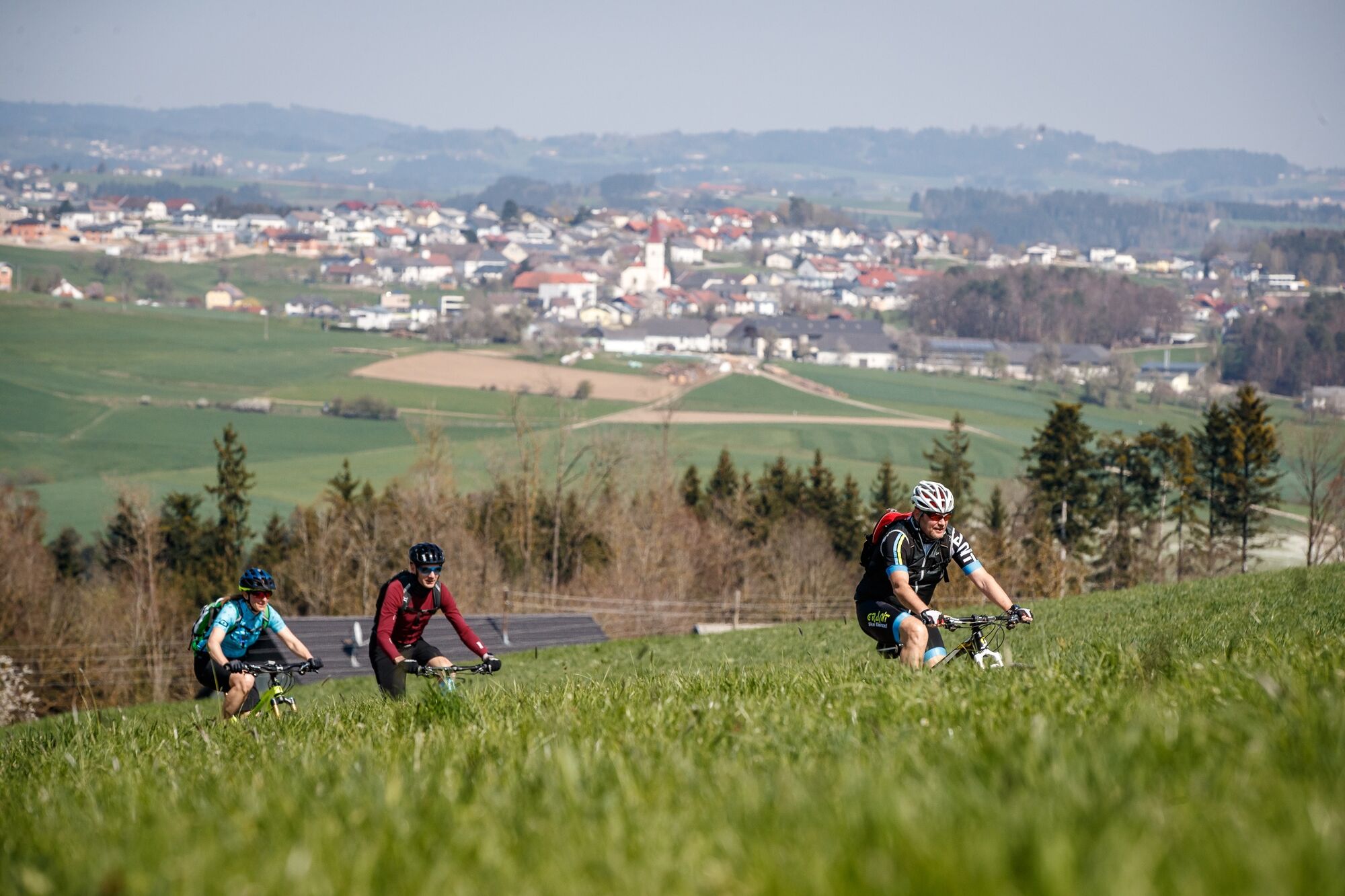
The Mühlviertler granite (high)land – Majestic above the Alpine foothills, magnificent distant views, rustic mixed forests, amber-colored streams, scattered farming hamlets... Over millions of years the ancient mountain range eroded to reveal a wonderful granite core. To the west, a forest-rich (core) mountain range, to the north idyllic cross-river ridges, and to the south a rural panoramic high plateau. This bike route lets you experience the fascination of Austria’s oldest landscape in three days: with three peaks, challenging climbs, flowing descents, transitions, panoramic routes... and some technical sections. Pure granite bike fun!
Overview:
Stage 1: Flank surfing in the Danube valley & summit assault to the panoramic viewpoint village Pfarrkirchen Stage 2: Over the highest peak of the (core) mountain range to the North Cape & back Stage 3: Ridge biking, cross-river ridges & panoramic high plateau
Stage 1: Flank surfing in the Danube valley & summit assault to the panoramic viewpoint village Pfarrkirchen
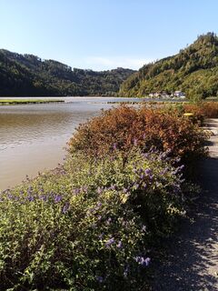
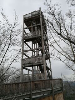
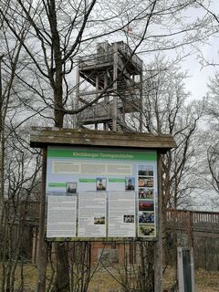
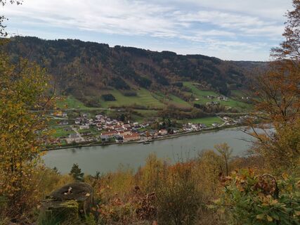
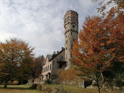
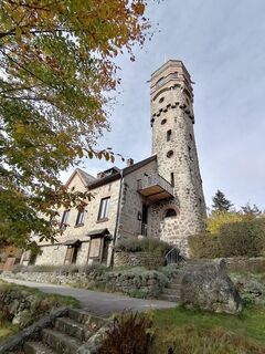
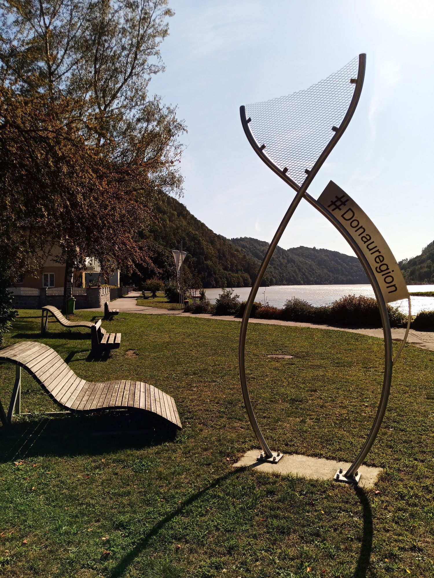
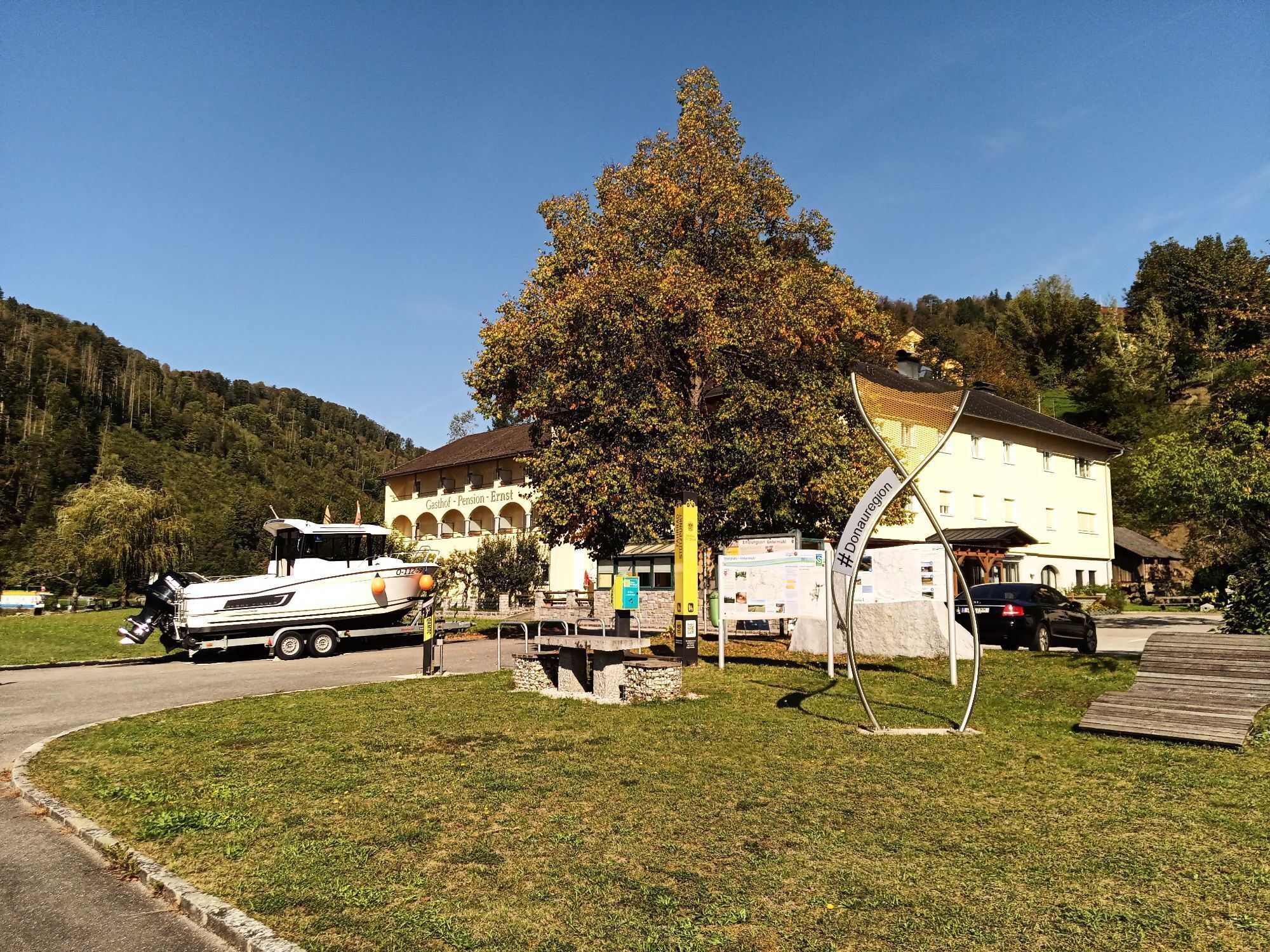
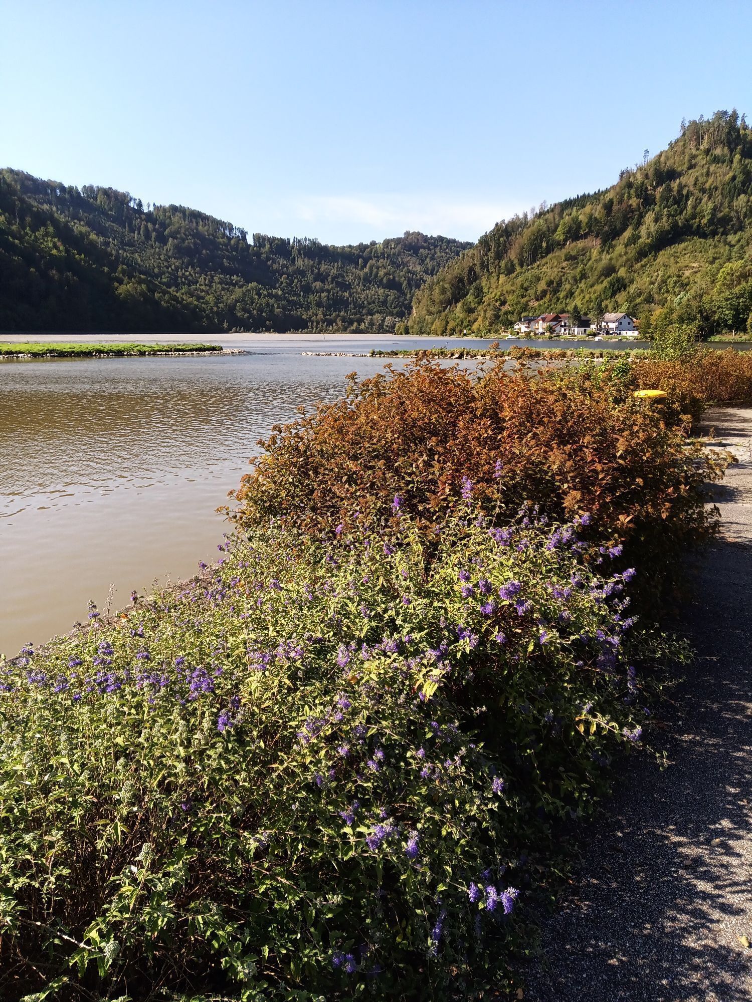
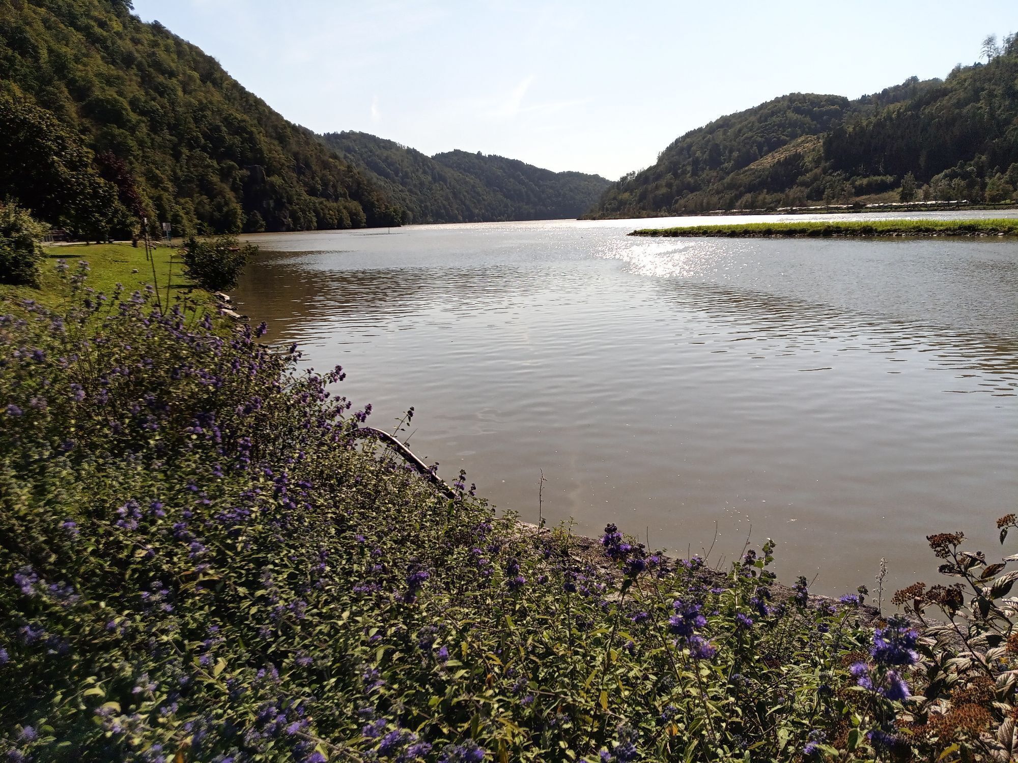
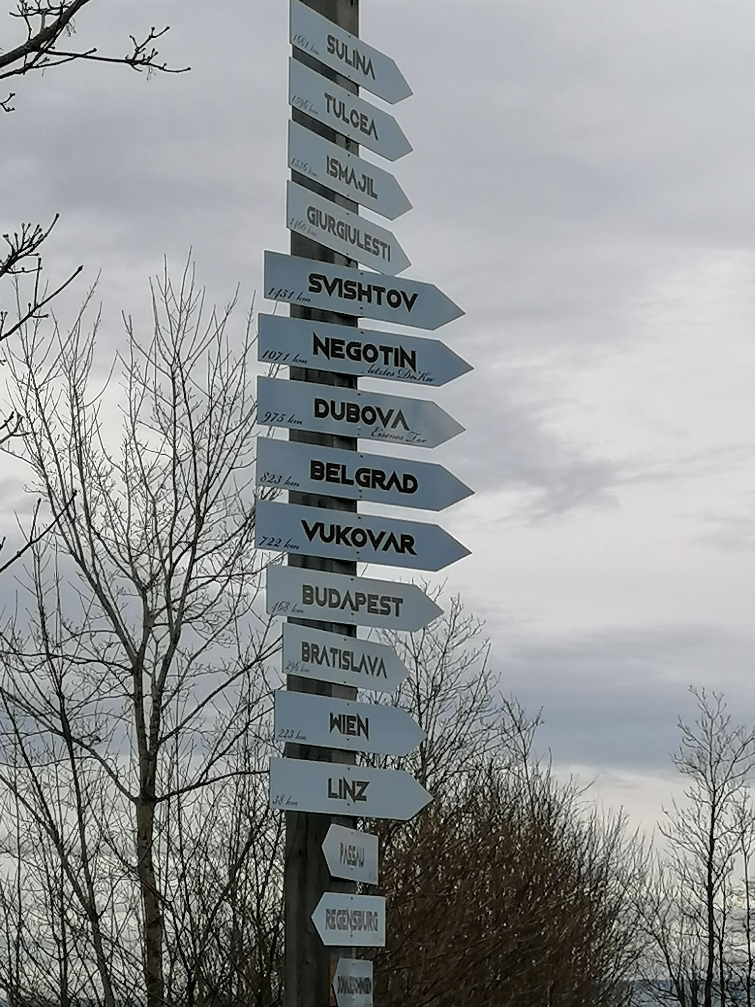
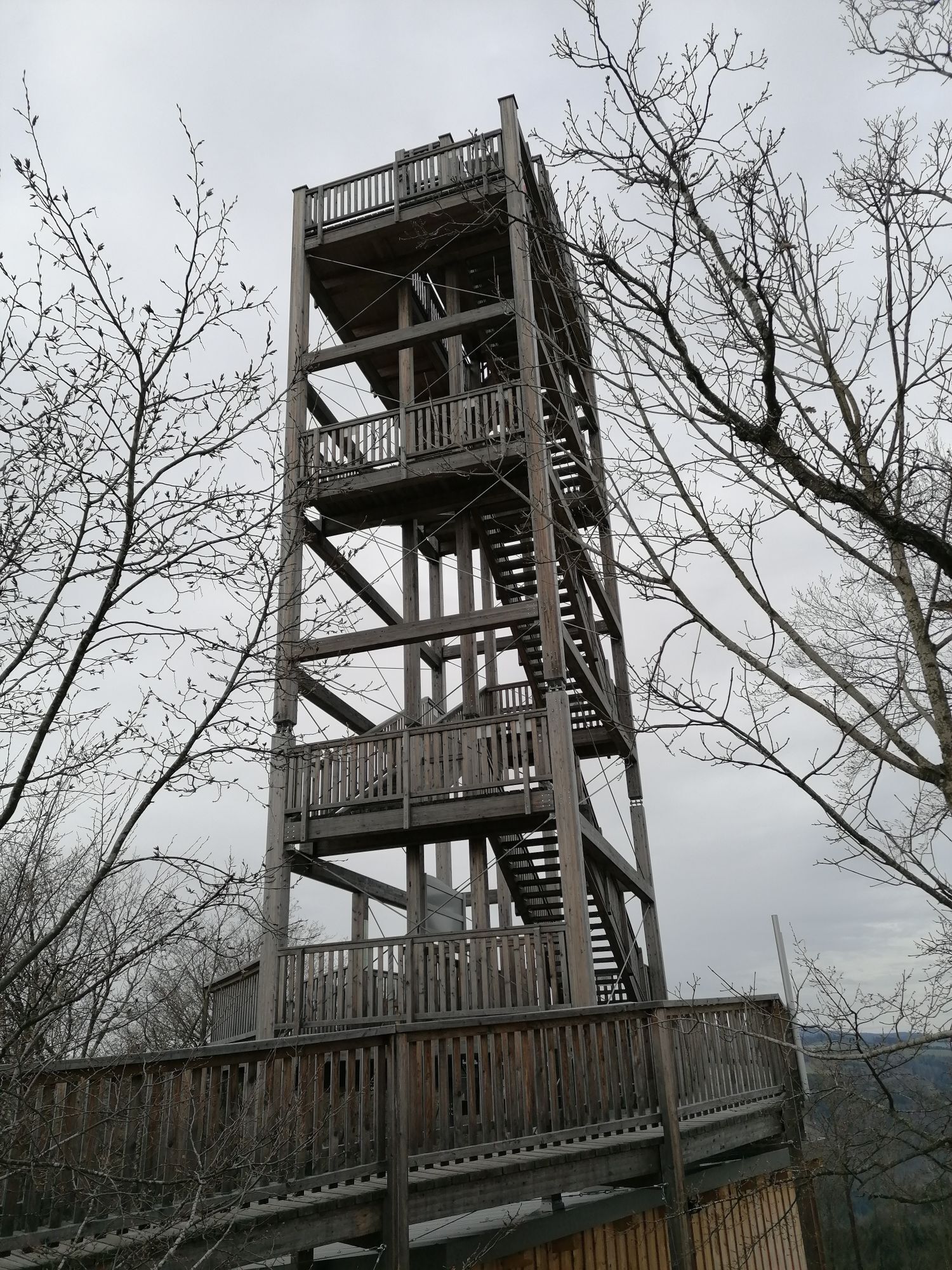
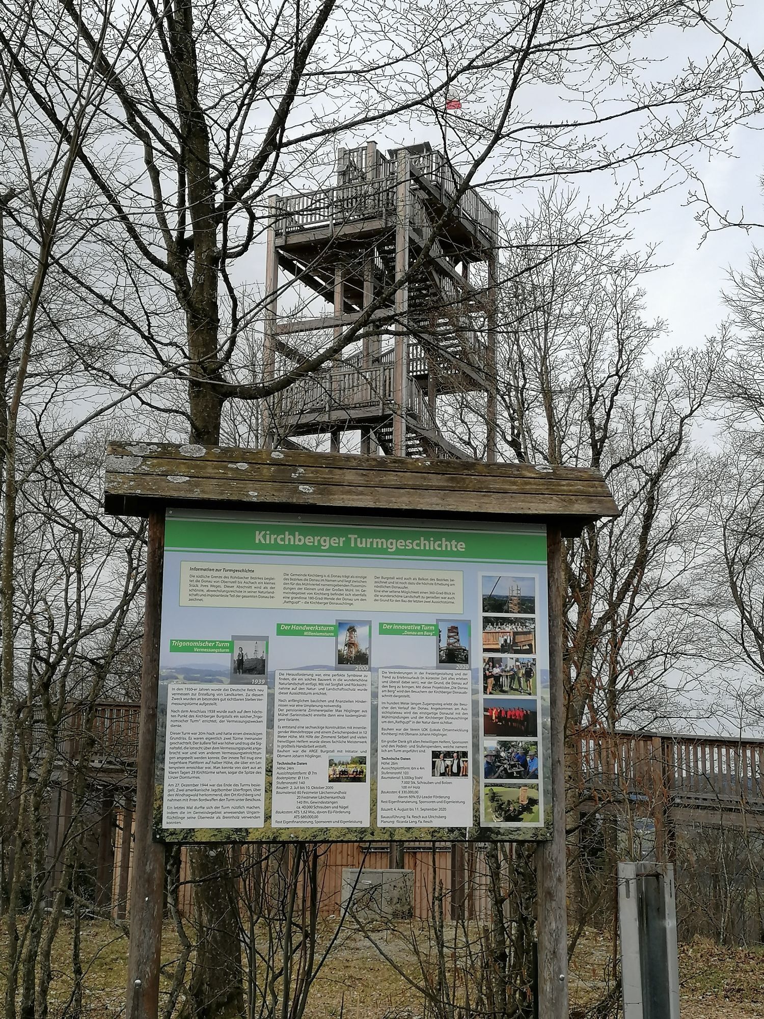
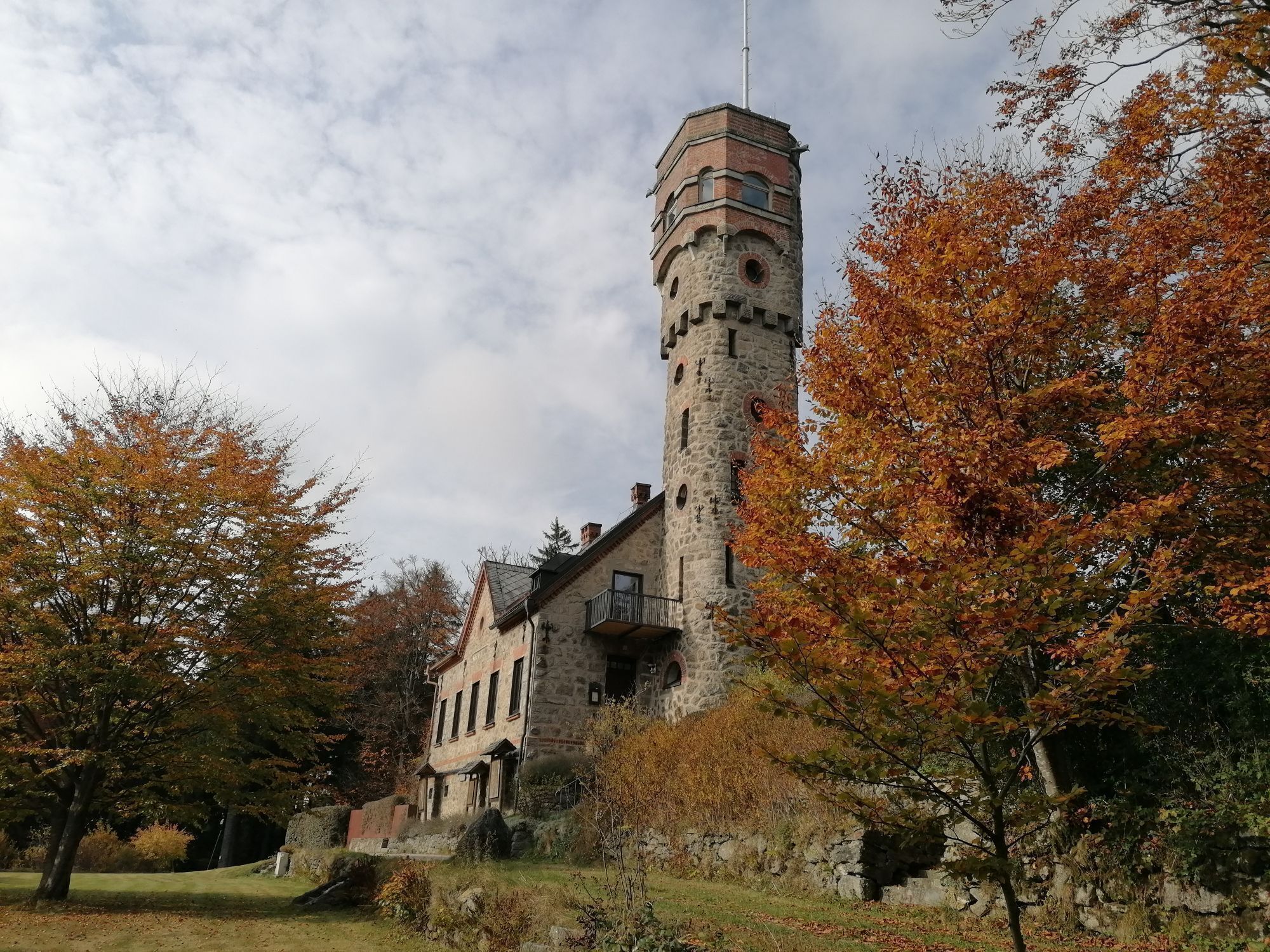
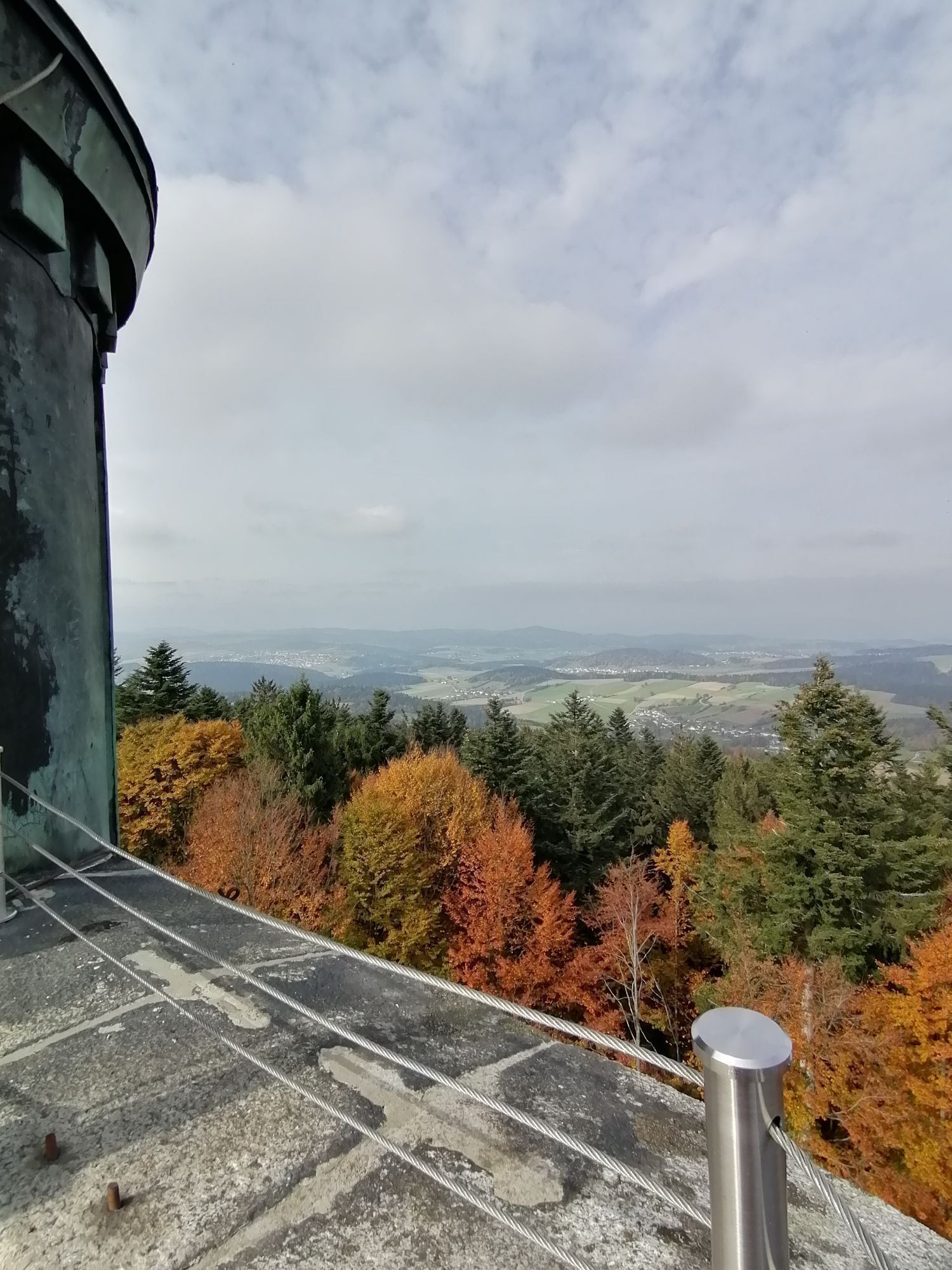
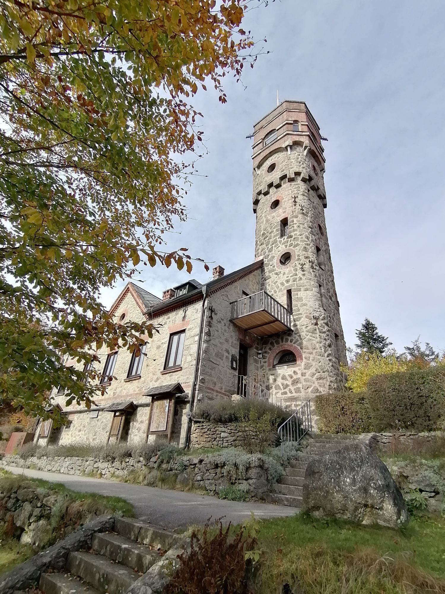
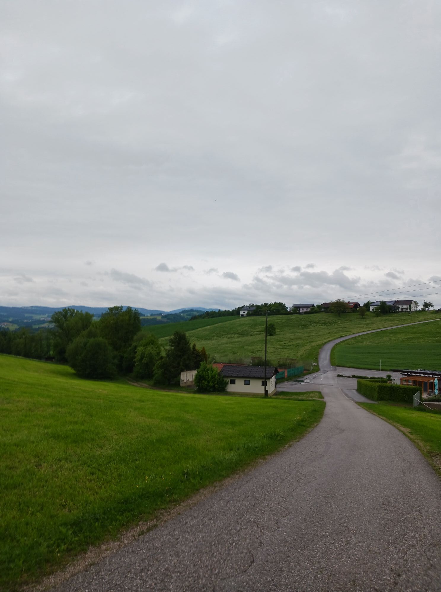
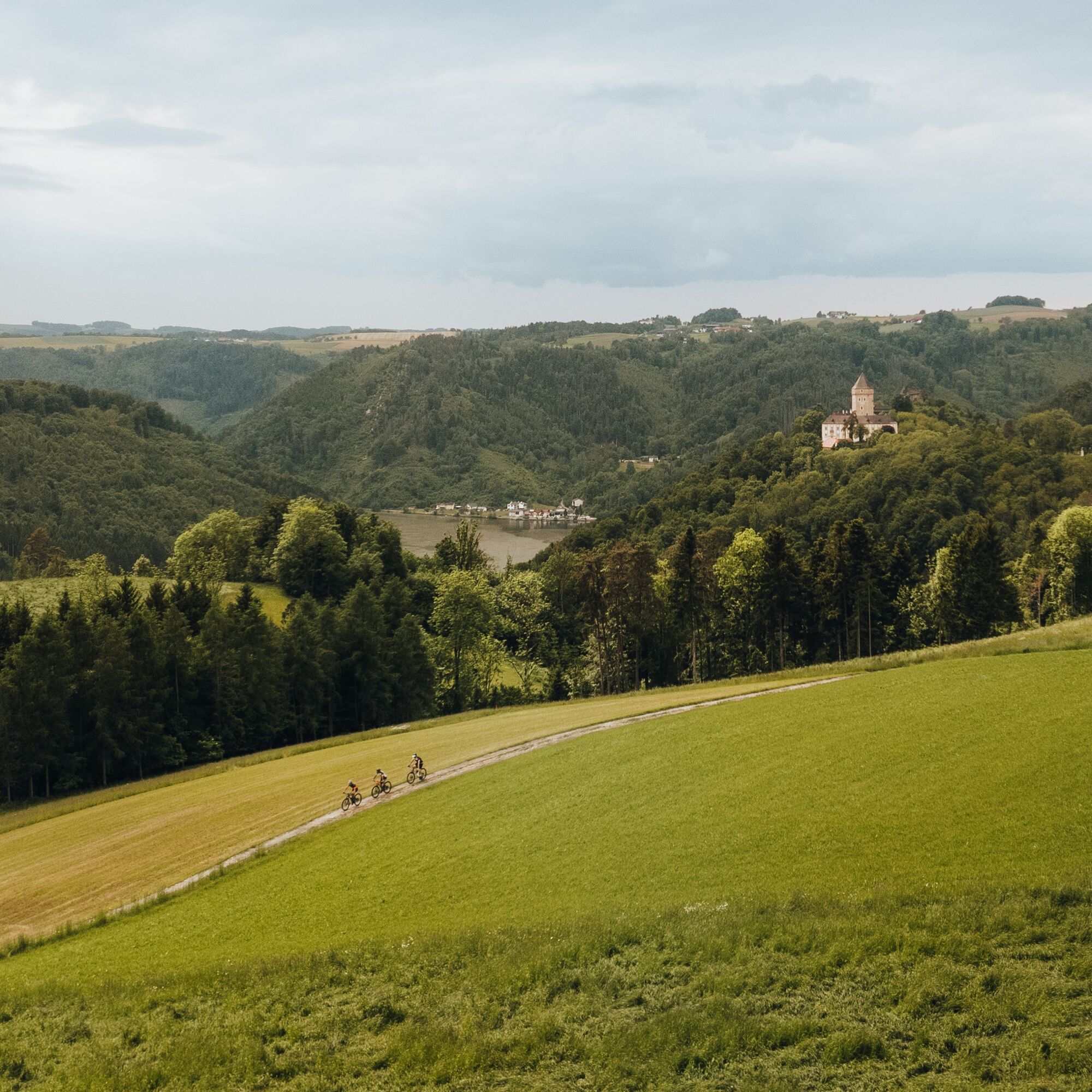
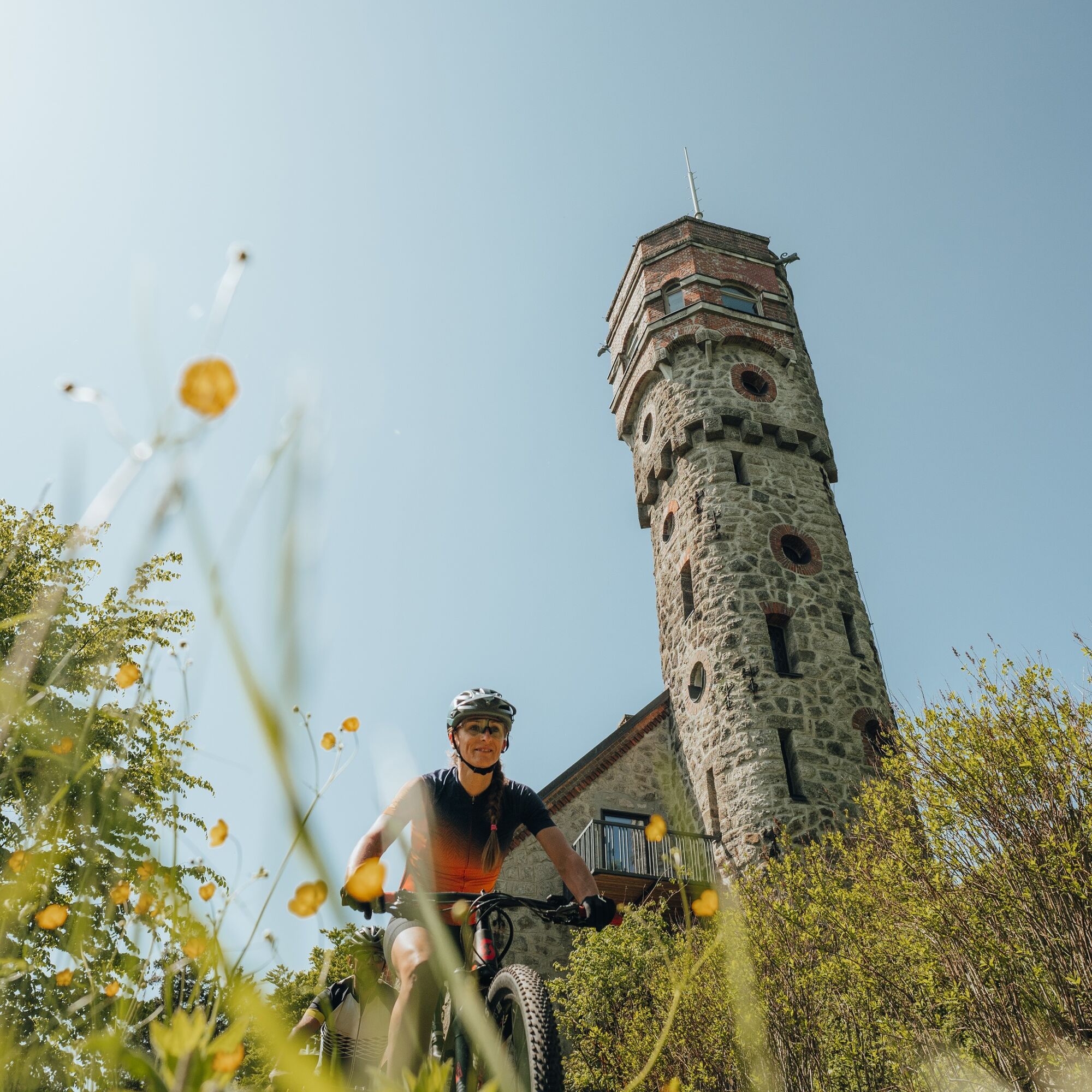
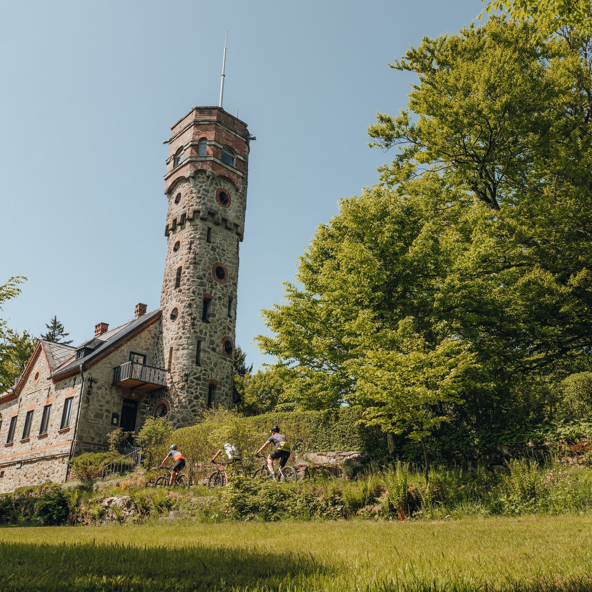
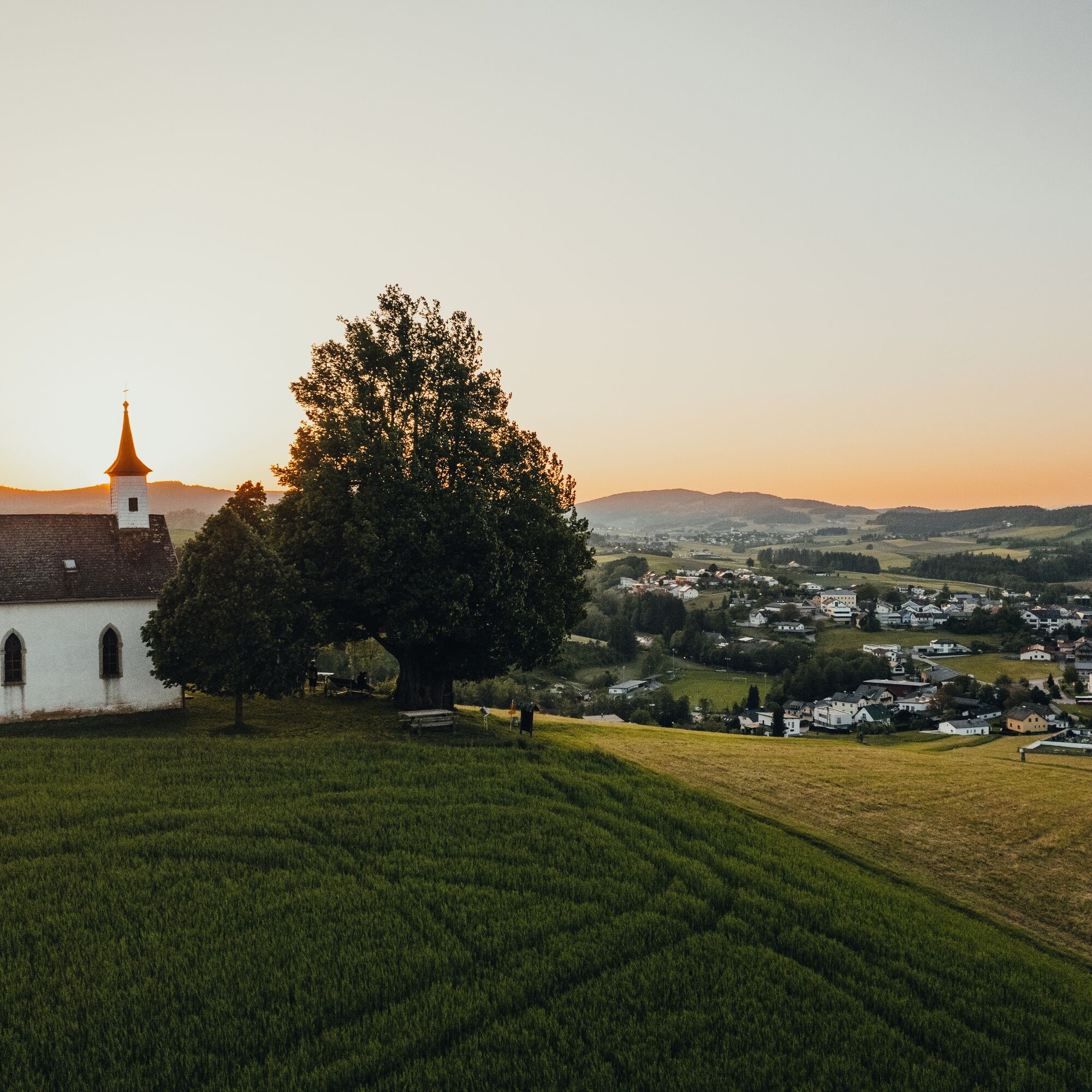
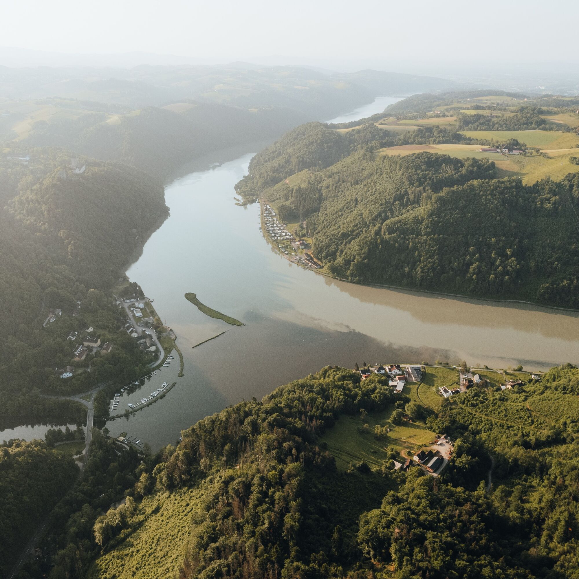
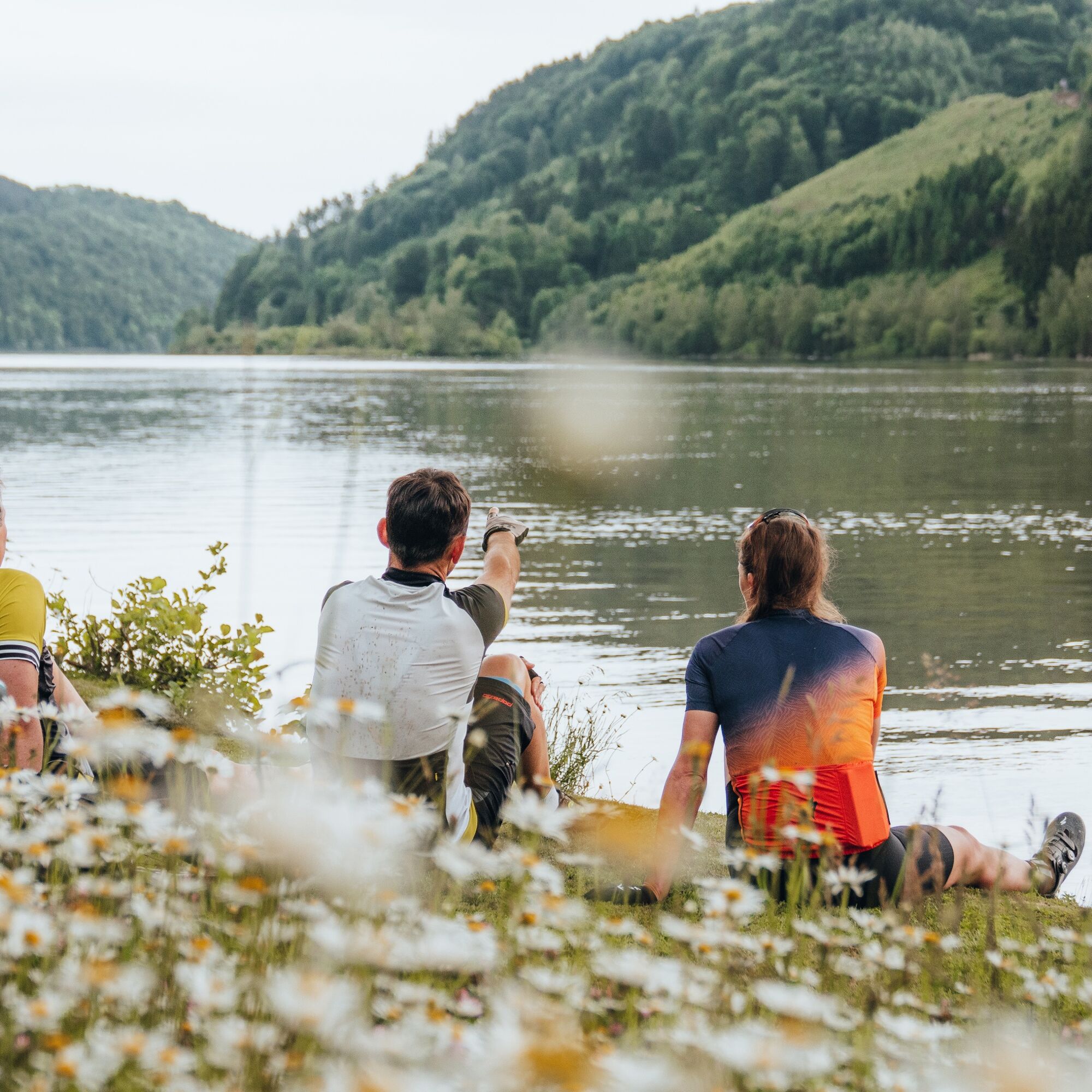
In the deep Danube gorge begins unique flank surfing through magnificent hillside gorge forests – 3x high plateau and return. Impressive intermediate goal: the 360° panoramic observation tower “Danube on the Mountain” (613 m) in Kirchberg ob der Donau. Then a trip over the rural granite (high)land with a challenging climb and a 7.5 km dream descent through the heart of the natural wonder Schlögener Danube bend. After relaxed Danube cycling, you bike to the panoramic viewpoint village Pfarrkirchen in the Mühlkreis (840 m), on the southern peak of the (core) mountain range! Final treat: a flowing pleasure descent to Oberkappel. A magnificent start!
Highlights:
Danube port town Untermühl (end point of the Schwarzenberg floating channel) Observation tower “Danube on the Mountain” (360° panoramic view, Burgstall) Obermühl on the Danube (sunken Danube village, historic salt road) European protected area Upper Danube valley & natural wonder Schlögener Danube bend Pfarrkirchen in the Mühlkreis (highest village in the region, panoramic viewpoint)
Stage 2: Over the highest peak of the (core) mountain range to the North Cape & back
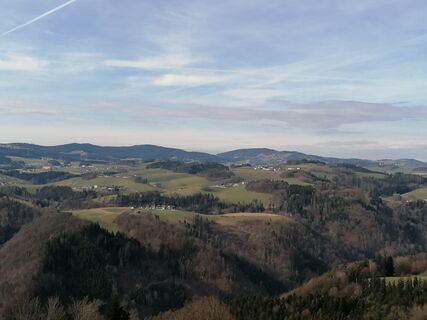
From Oberkappel begins the summit assault to the forest peak of the Ameisberg (941 m), the highest point of the (core) mountain range. Congratulations! After 3.7 km of varied descent fun, the route goes hilly to the northern end of the (core) mountain range and further uphill through gently rolling highland. From Kohlstatt, you happily cycle – with the Bohemian Forest ridgeline in view – through a gently rolling mixed forest-meadow mosaic down to the northernmost point of the route. The return journey begins with enjoyable mixed forest biking on the Zwischenmühl ridge. In Julbach, the Merano of the Mühlviertel, you switch to the meadow valley of the Kleine Mühl. Over the challenging valley flank it goes to Peilstein in the Mühlviertel.
Highlights:
Ameisberg (highest mountain of the region, viewing tower) View of the Bohemian Forest ridge (Bohemian Forest, Central Europe’s largest forest area) Northernmost point of the Grande Beer Route Three-country corner Austria, Bavaria, and Czech Republic Julbach - the Merano of the Mühlviertel
Stage 3: Ridge biking, cross-river ridges & panoramic high plateau
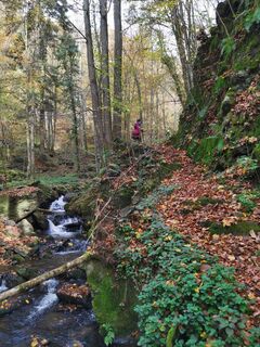
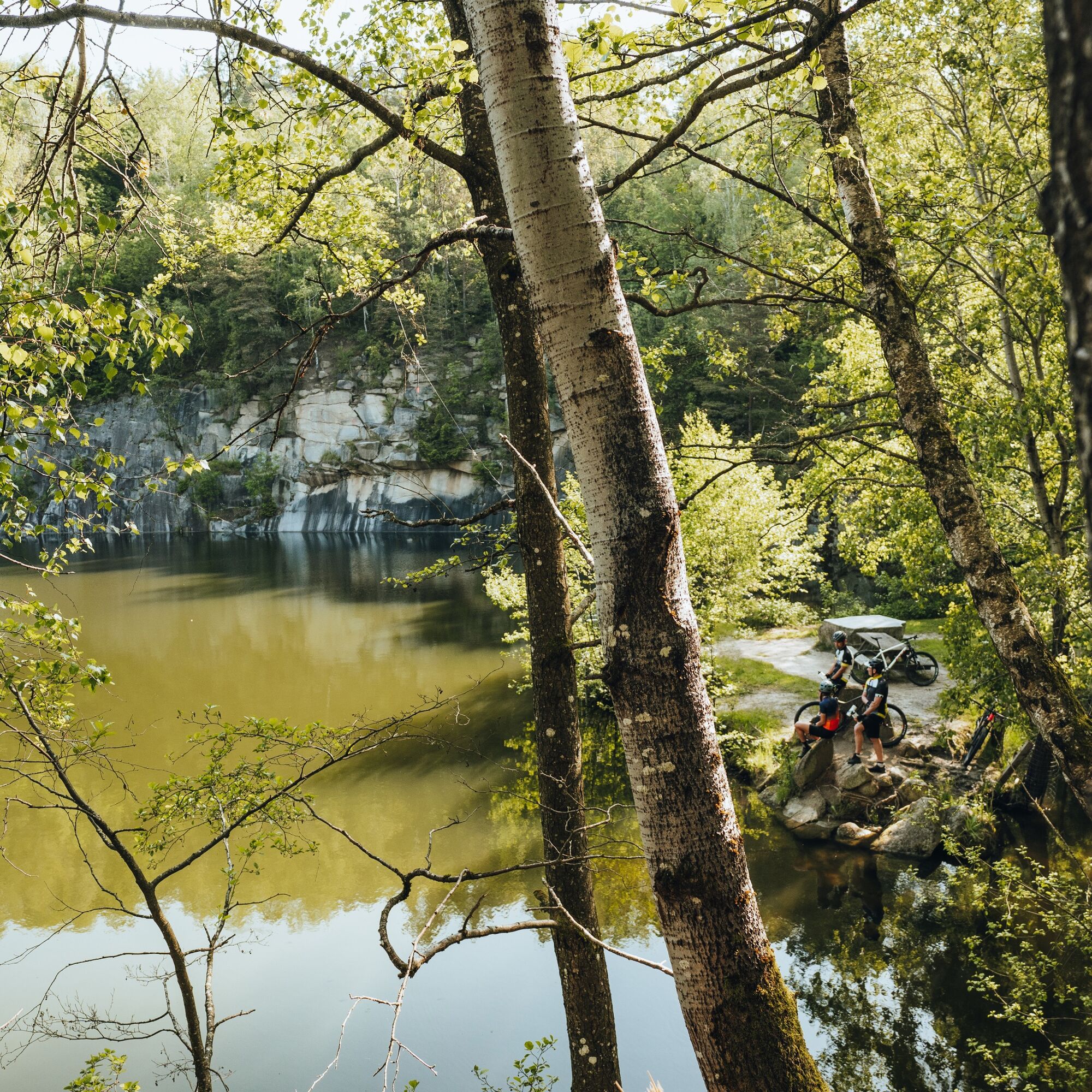
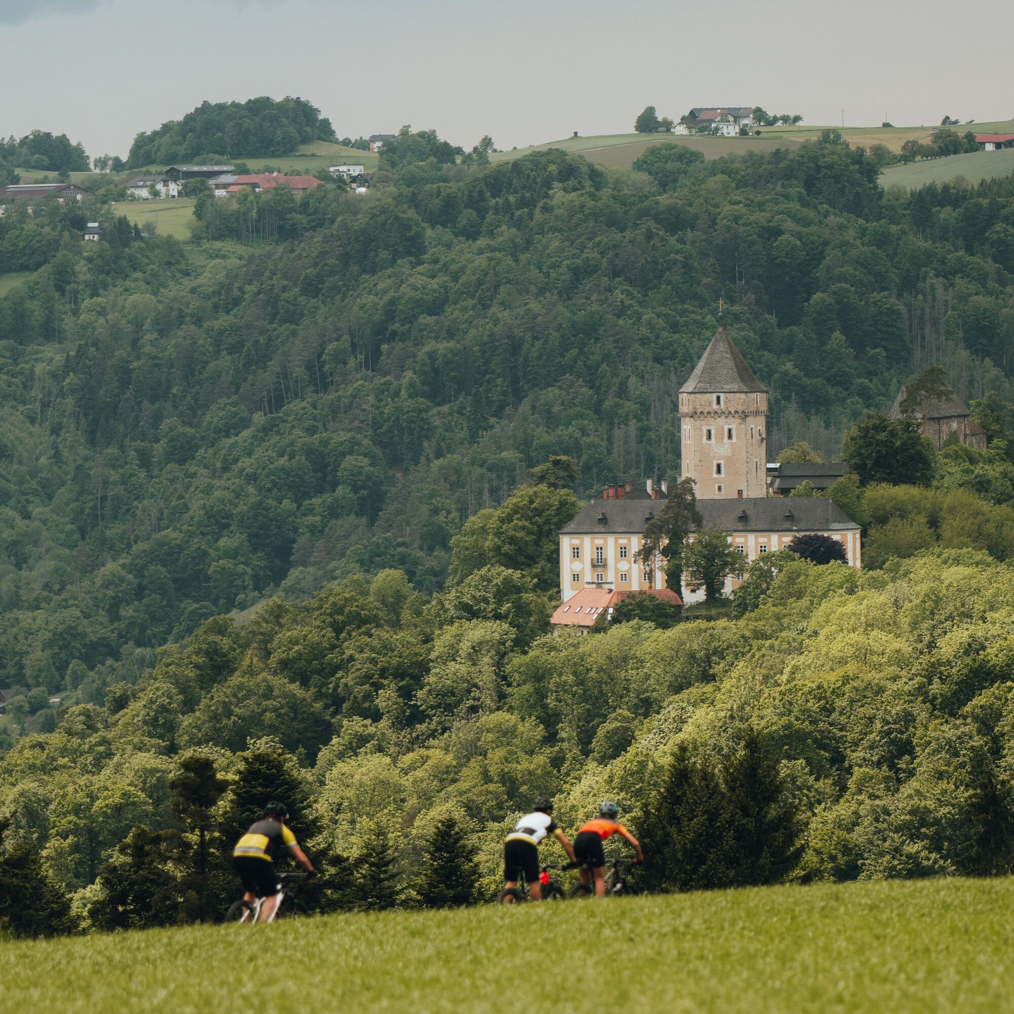
Along the valley flank of the Kleine Mühl valley, varied ridge biking surprises with challenging climbs and lively descents. Over hidden hinterland hills it continues to Sarleinsbach. Two region-typical cross-river ridges now provide bike fun: the first challenging and sporty, the second pure pleasure biking. After a hearty forest climb from the Große Mühl valley, the rural panoramic high plateau delights: elevated cultural cycling meets trail fun between granite quarries. In St. Martin im Mühlkreis, a fantastic Danube valley view descent rounds off the loop perfectly to the Danube port town Untermühl. A grand finale!
Highlights:
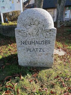
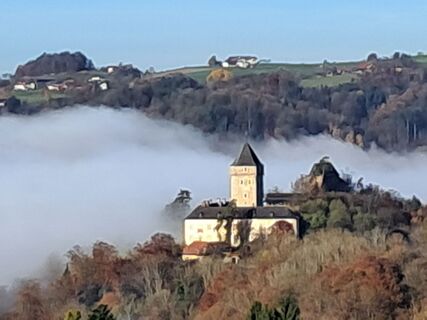
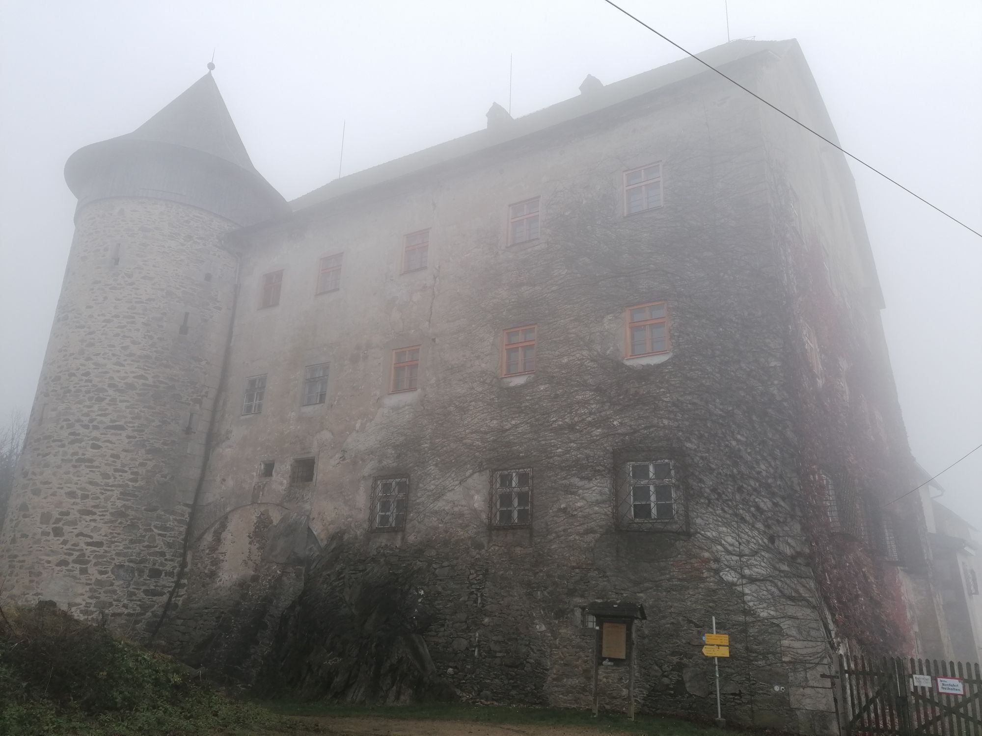
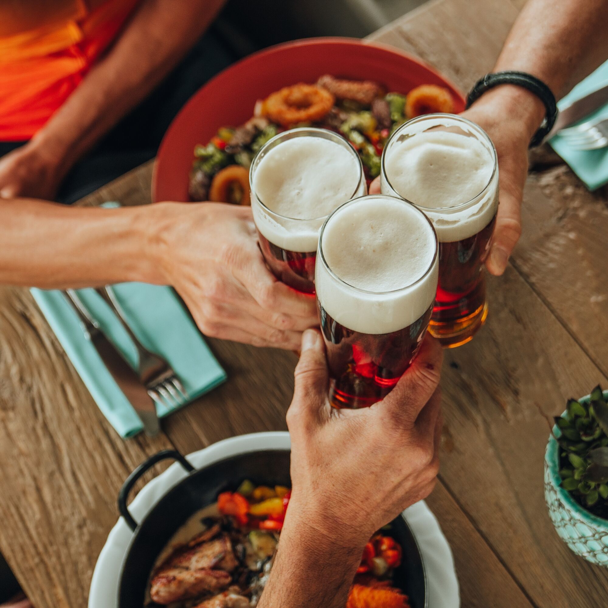
Neufelden (historic market square, hop gardens) Hidden granite quarries (quarrying area of the famous Neuhauser granite) Brewery Hofstetten (oldest brewery in Austria, granite beer) Neuhaus Castle (granite transport – end of the field railway, start of the cable railway to the Danube) Danube port town Untermühl (loading site of the famous Neuhauser granite)
Áno
How to get to the Danube region of Upper Austria?
The fastest way to your destination – by train, bus, car, ship, or airplane.
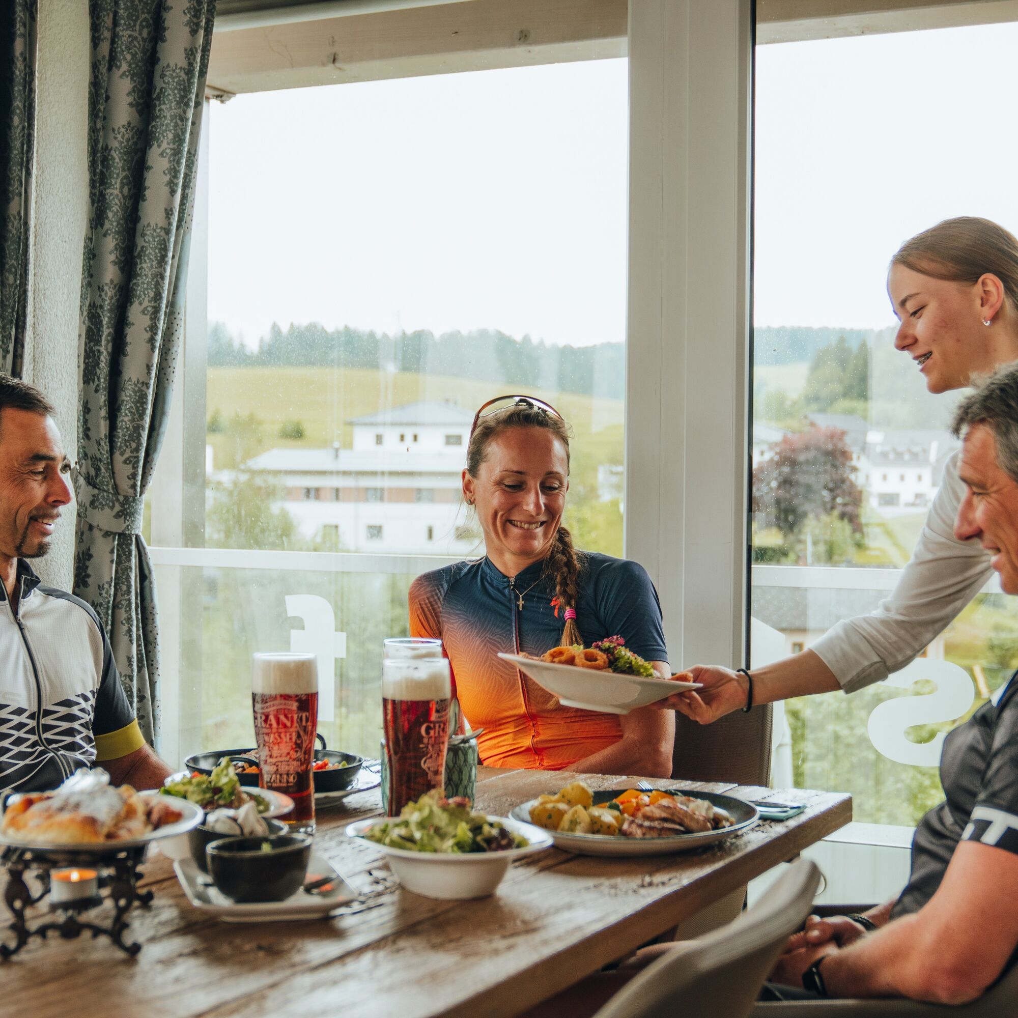
Discovery journeys with enjoyable stops! This route passes directly by the following culinary partners: Bakery Confectionery Panoramic Café BauerBrewery Hofstetten
Obľúbené výlety v okolí
-
4,4
Haibach: CICONIA circular route
strednáTuristika 11,2 km -
3,7
Waldkirchen: 4/4 View Round | Large Danube Resonance Path Round
strednáTuristika 12,9 km -
4,7
Donauschlinge Schlögen
Turistika 15,2 km -
4,7
Hofkirchen: Waterfall round
strednáTuristika 8,43 km -
5,0
Donauradweg - Aschachtal - Runde
strednáCyklistika 58,1 km -
4,7
Ciconia Weg Schlögen, Oberösterreich
strednáTuristika 11,2 km -
5,0
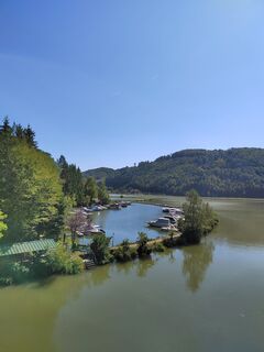
Ranna-Stausee
svetloTuristika 12,2 km -
4,0
Panoramaweg
svetloTuristika 7,53 km -
5,0
Kneipp,- Fitnessweg im Rannatal
svetloTuristika 3,79 km -
4,6
St. Agatha: It must be - Trail
strednáTuristika 20,7 km
Turistika a stopovanie


Nenechajte si ujsť ponuky a inšpiráciu na ďalšiu dovolenku
Vaša e-mailová adresa bol pridaný do poštového zoznamu.