


Tour around the Gosaukamm


Fotografie našich používateľov
-

 © Anton Salmer-TritscherVytvorené dňa 11.10.2023
 -

 © Frans-JozefVytvorené dňa 06.09.2023
 -
 © Frans-JozefVytvorené dňa 06.09.2023
 -

 © Sven KrieblinVytvorené dňa 11.10.2025
 -
 © Weighti71Vytvorené dňa 08.10.2025
 -
 © Weighti71Vytvorené dňa 08.10.2025
 -
 © Anita SchnedVytvorené dňa 20.09.2025
 -
 © Anita SchnedVytvorené dňa 20.09.2025
 -
 © Anita SchnedVytvorené dňa 20.09.2025
 -
 © GerhardAhoVytvorené dňa 20.09.2025
 -
 © Anita SchnedVytvorené dňa 20.09.2025
 -
 © Anita SchnedVytvorené dňa 20.09.2025
 -
 © Anita SchnedVytvorené dňa 20.09.2025
 -
 © Anita SchnedVytvorené dňa 20.09.2025
 -
 © Anita SchnedVytvorené dňa 20.09.2025
 -
 © Anita SchnedVytvorené dňa 20.09.2025
 -
 © GerhardAhoVytvorené dňa 20.09.2025
 -

 © Monika JeskovaVytvorené dňa 19.09.2025
 -
 © Monika JeskovaVytvorené dňa 18.09.2025
 -
 © Monika JeskovaVytvorené dňa 18.09.2025
 -
 © Monika JeskovaVytvorené dňa 18.09.2025
 -
 © Monika JeskovaVytvorené dňa 18.09.2025
 -
 © Monika JeskovaVytvorené dňa 18.09.2025
 -
 © Gassenbauer PatrikVytvorené dňa 12.09.2025
 -
 © Gassenbauer PatrikVytvorené dňa 12.09.2025
 -
 © Gassenbauer PatrikVytvorené dňa 12.09.2025
 -
 © Gassenbauer PatrikVytvorené dňa 12.09.2025
 -
 © Gassenbauer PatrikVytvorené dňa 12.09.2025
 -
 © Gassenbauer PatrikVytvorené dňa 12.09.2025
 -
 © Gassenbauer PatrikVytvorené dňa 12.09.2025
 -
 © Gassenbauer PatrikVytvorené dňa 12.09.2025
 -
 © Gassenbauer PatrikVytvorené dňa 12.09.2025
 -
 © Gassenbauer PatrikVytvorené dňa 12.09.2025
 -
 © Gassenbauer PatrikVytvorené dňa 12.09.2025
 -
 © Gassenbauer PatrikVytvorené dňa 12.09.2025
 -
 © Gudi kowaVytvorené dňa 06.09.2025
 -
 © Gudi kowaVytvorené dňa 06.09.2025
 -
 © Gudi kowaVytvorené dňa 06.09.2025
 -
 © Gudi kowaVytvorené dňa 06.09.2025
 -
 © Gudi kowaVytvorené dňa 06.09.2025
 -
 © Gudi kowaVytvorené dňa 06.09.2025
 -
 © Gudi kowaVytvorené dňa 06.09.2025
 -
 © Gudi kowaVytvorené dňa 06.09.2025
 -
 © Gudi kowaVytvorené dňa 06.09.2025
 -
 © Gudi kowaVytvorené dňa 06.09.2025
 -
 © Gudi kowaVytvorené dňa 06.09.2025
 -
 © Gudi kowaVytvorené dňa 06.09.2025
 -
 © Gudi kowaVytvorené dňa 06.09.2025


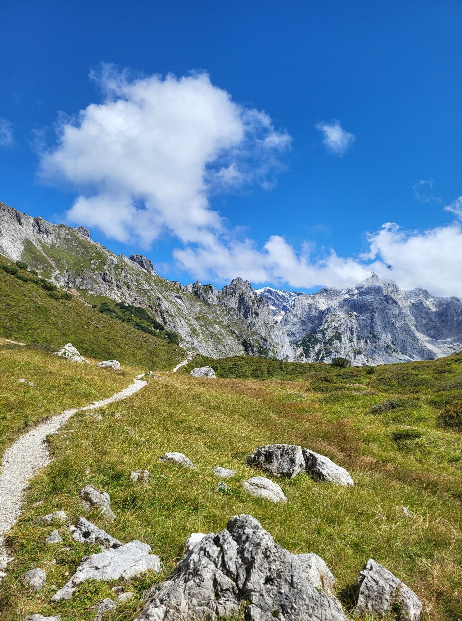
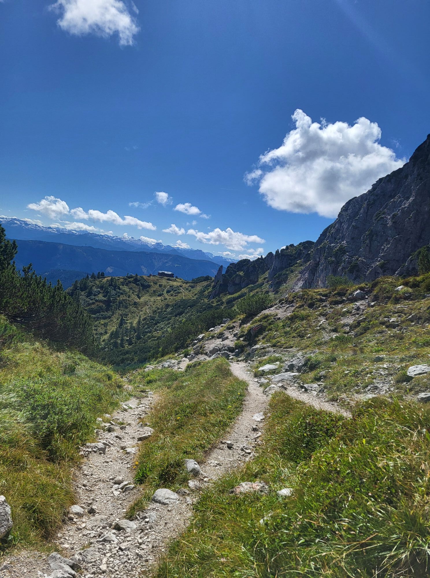
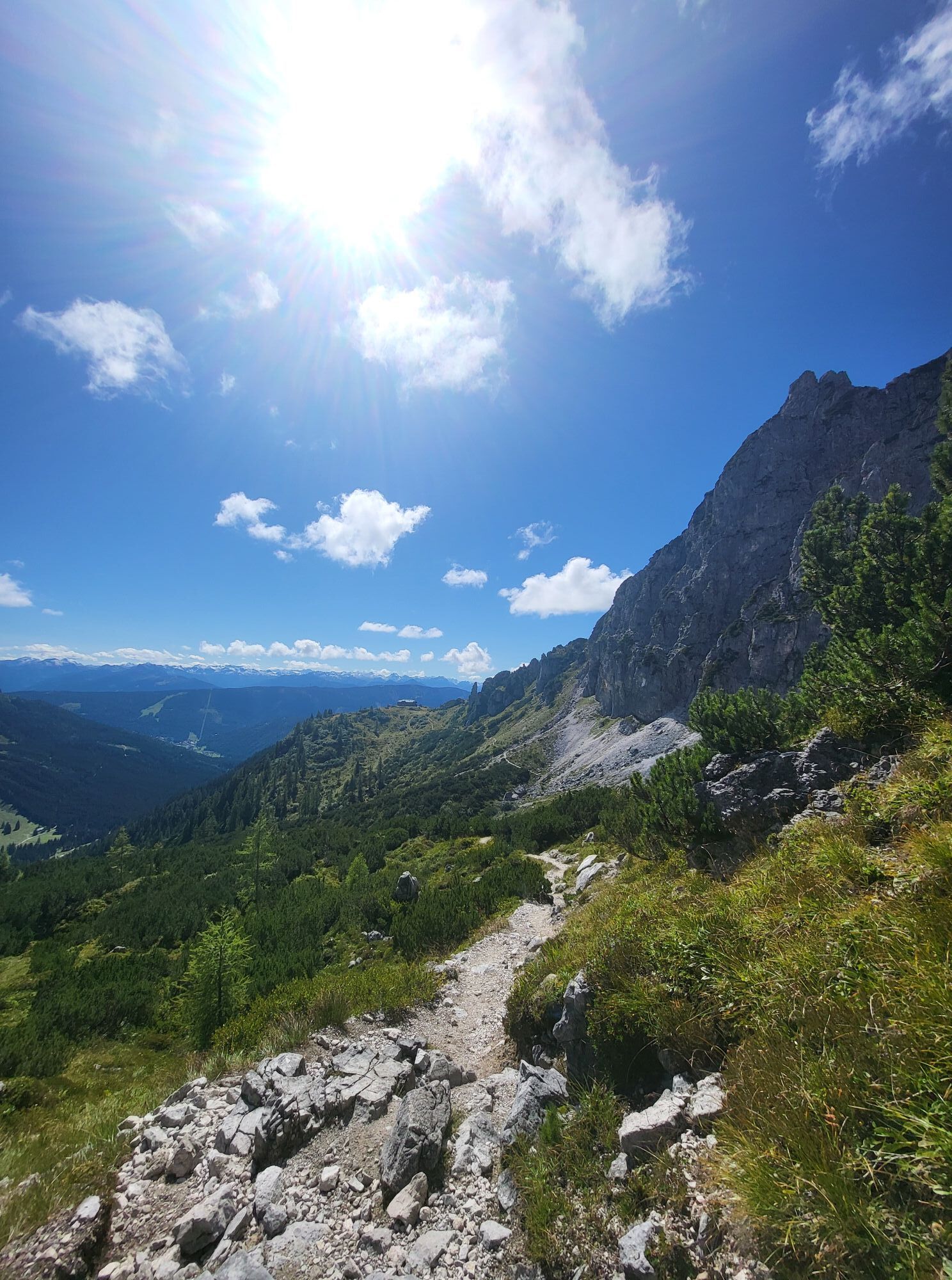
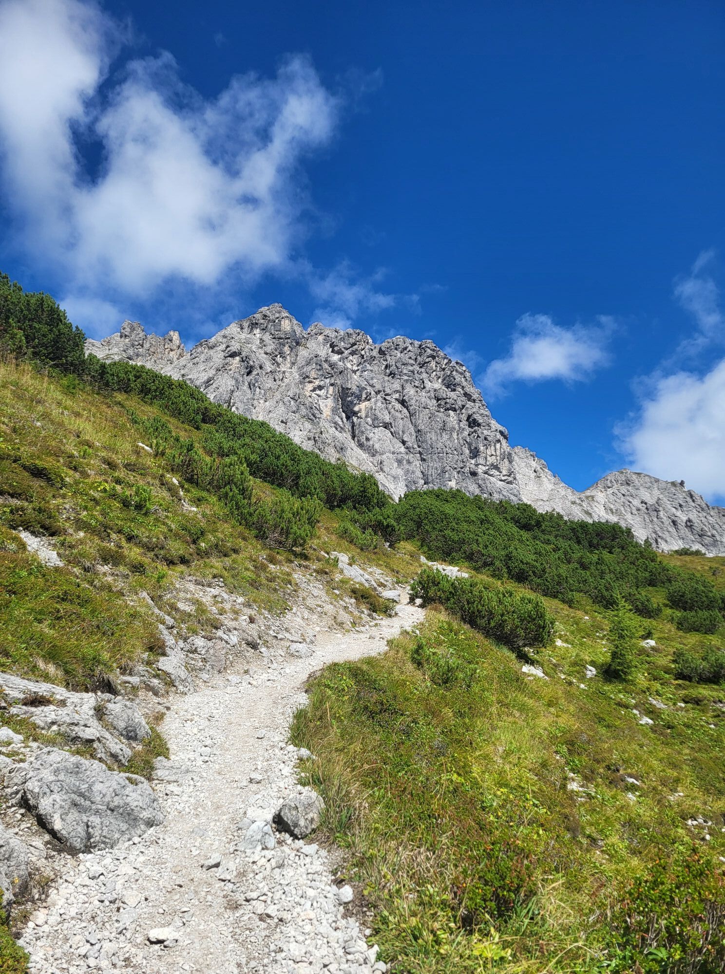


Uniquely scenic two-day tour around a wildly rugged mountain range. Well-maintained, but in places rocky and exposed paths, some of which are secured for short passages.
The tour around the Gosaukamm is...
Uniquely scenic two-day tour around a wildly rugged mountain range. Well-maintained, but in places rocky and exposed paths, some of which are secured for short passages.
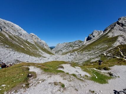
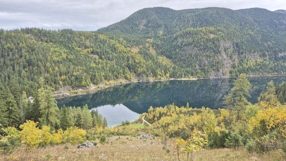
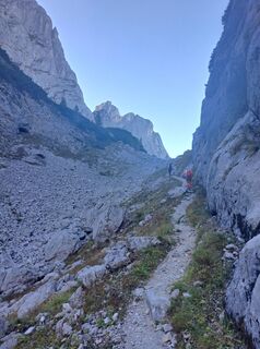
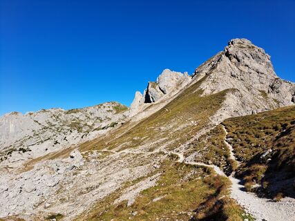
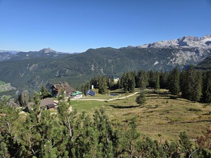
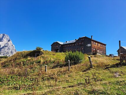
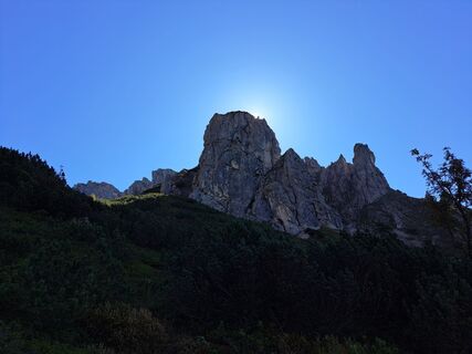
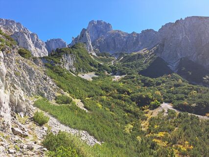
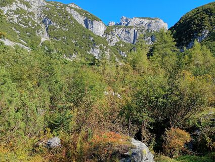
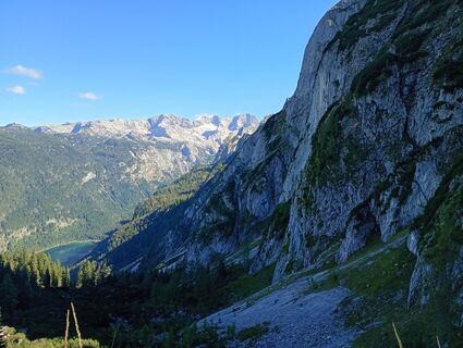
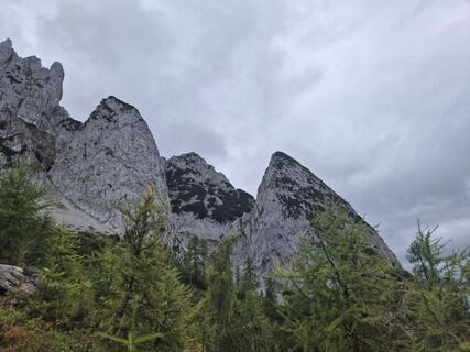
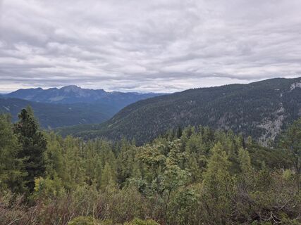
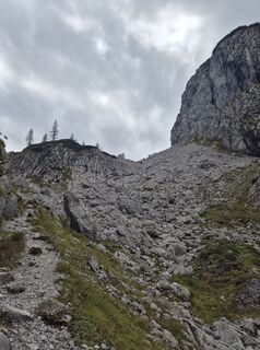
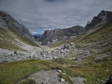
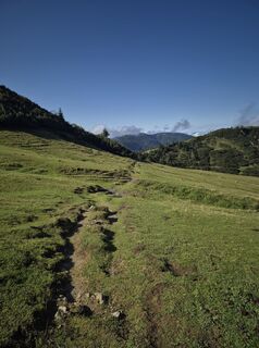
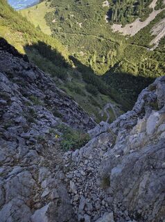
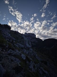
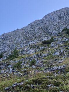
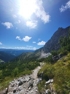
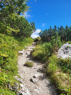
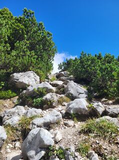
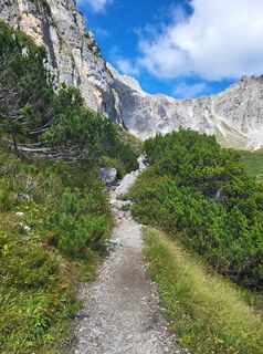
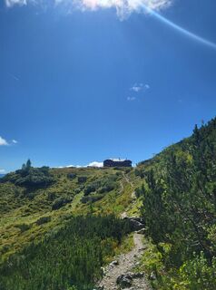
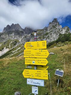
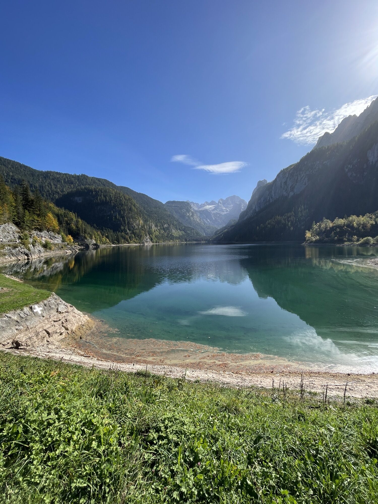
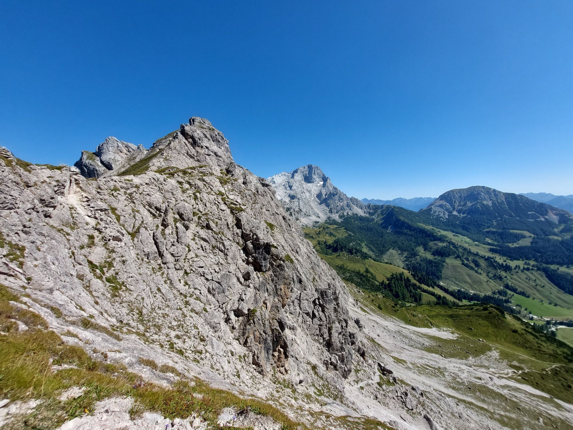
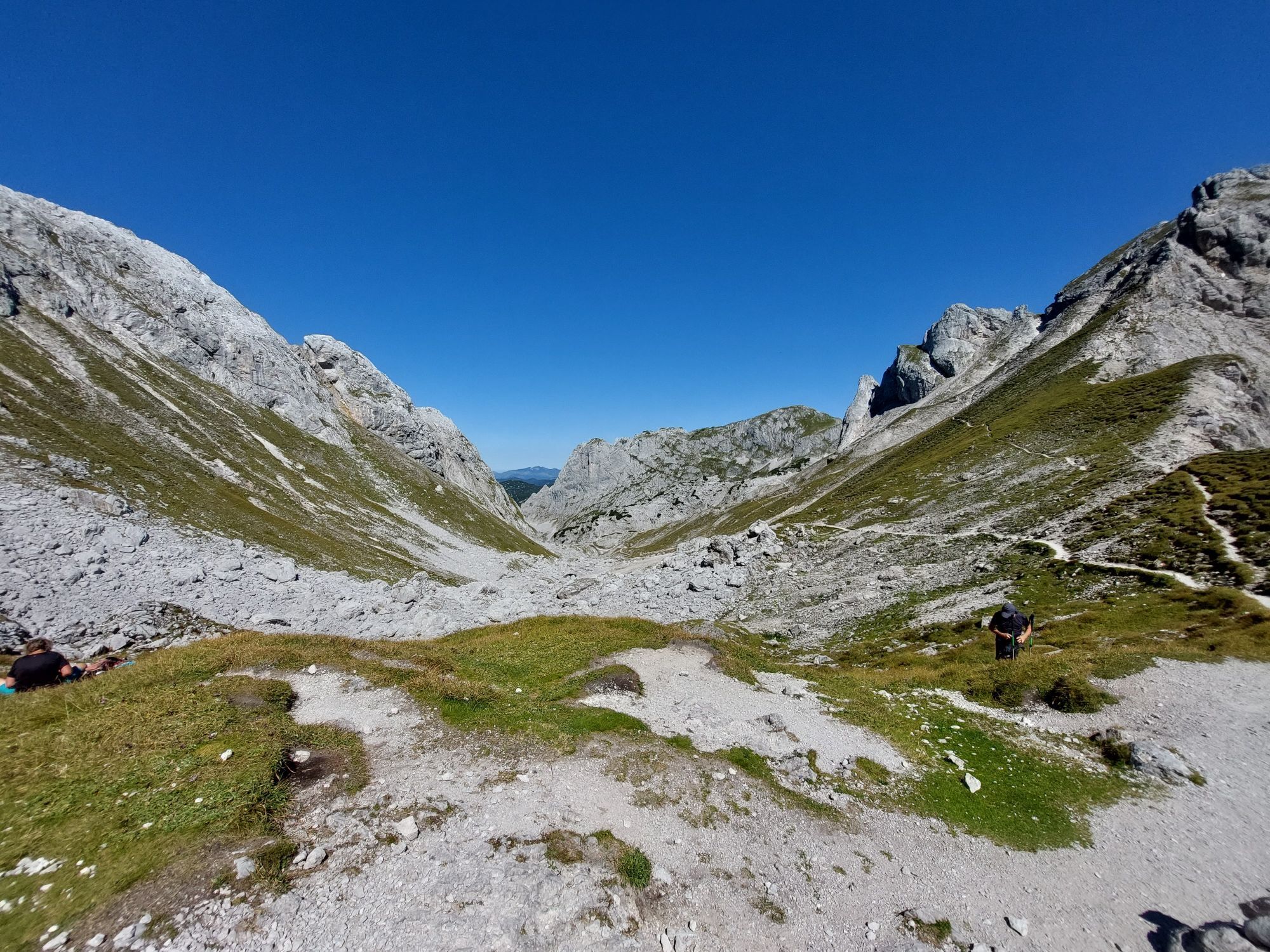
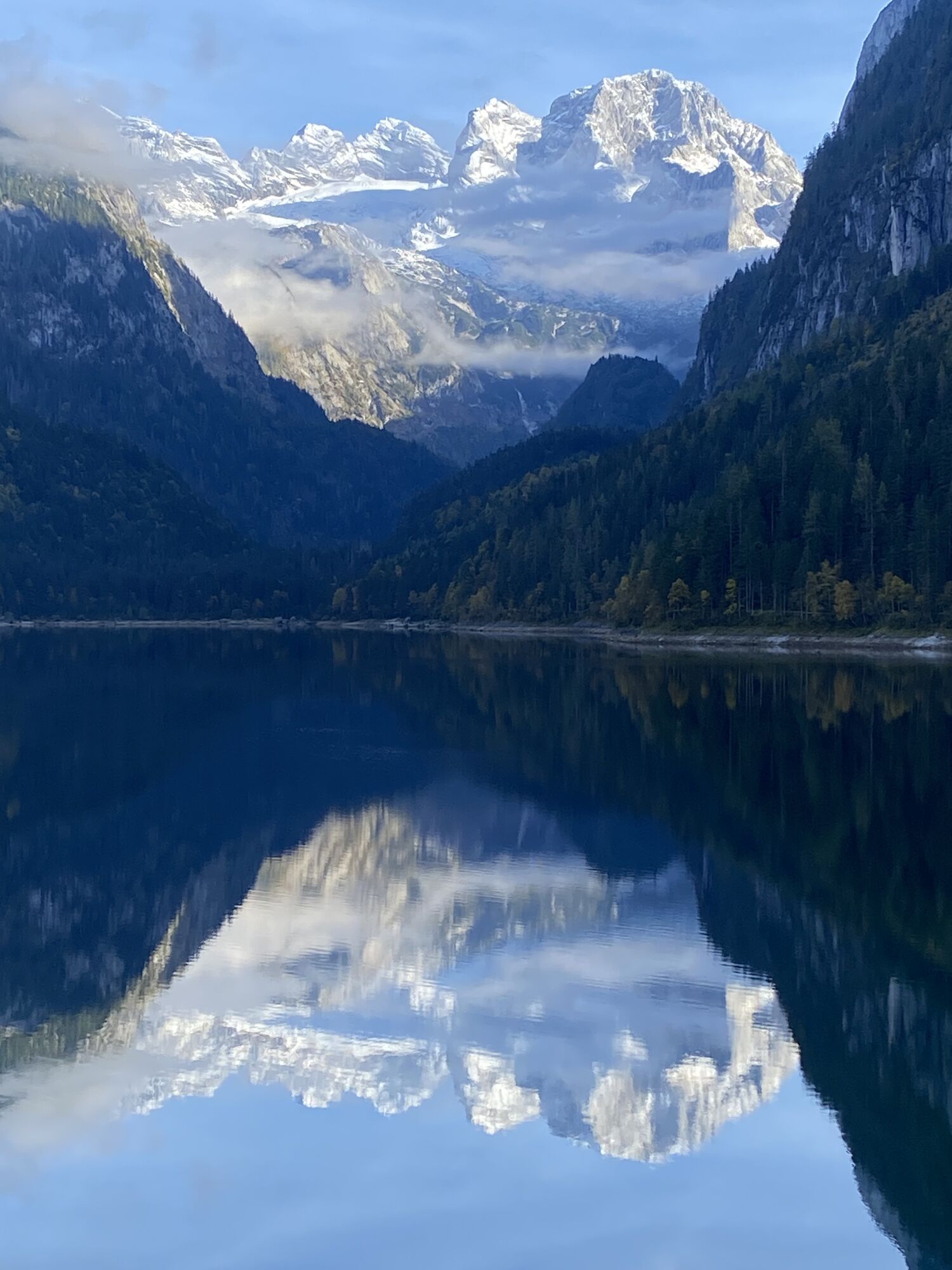
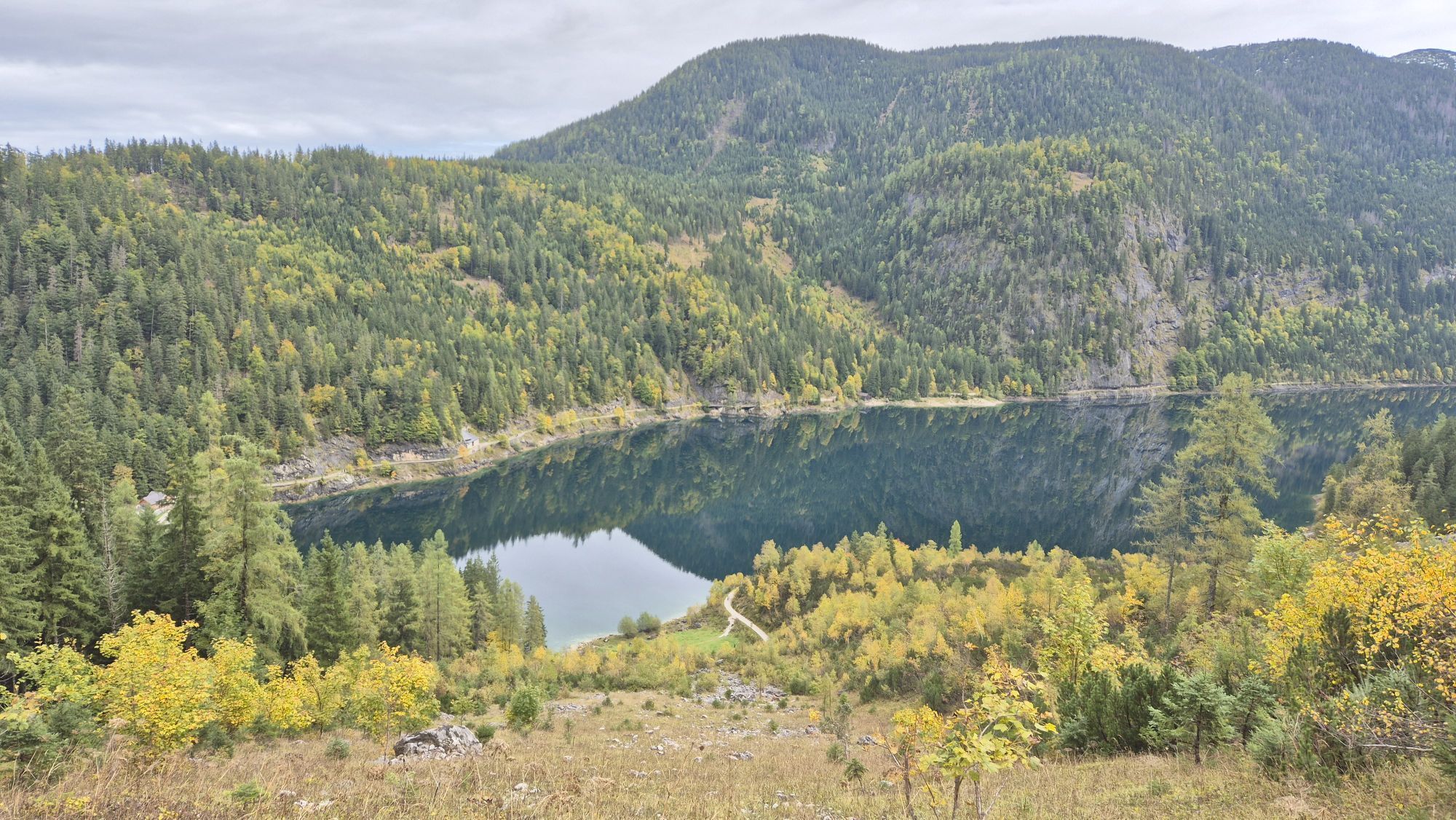
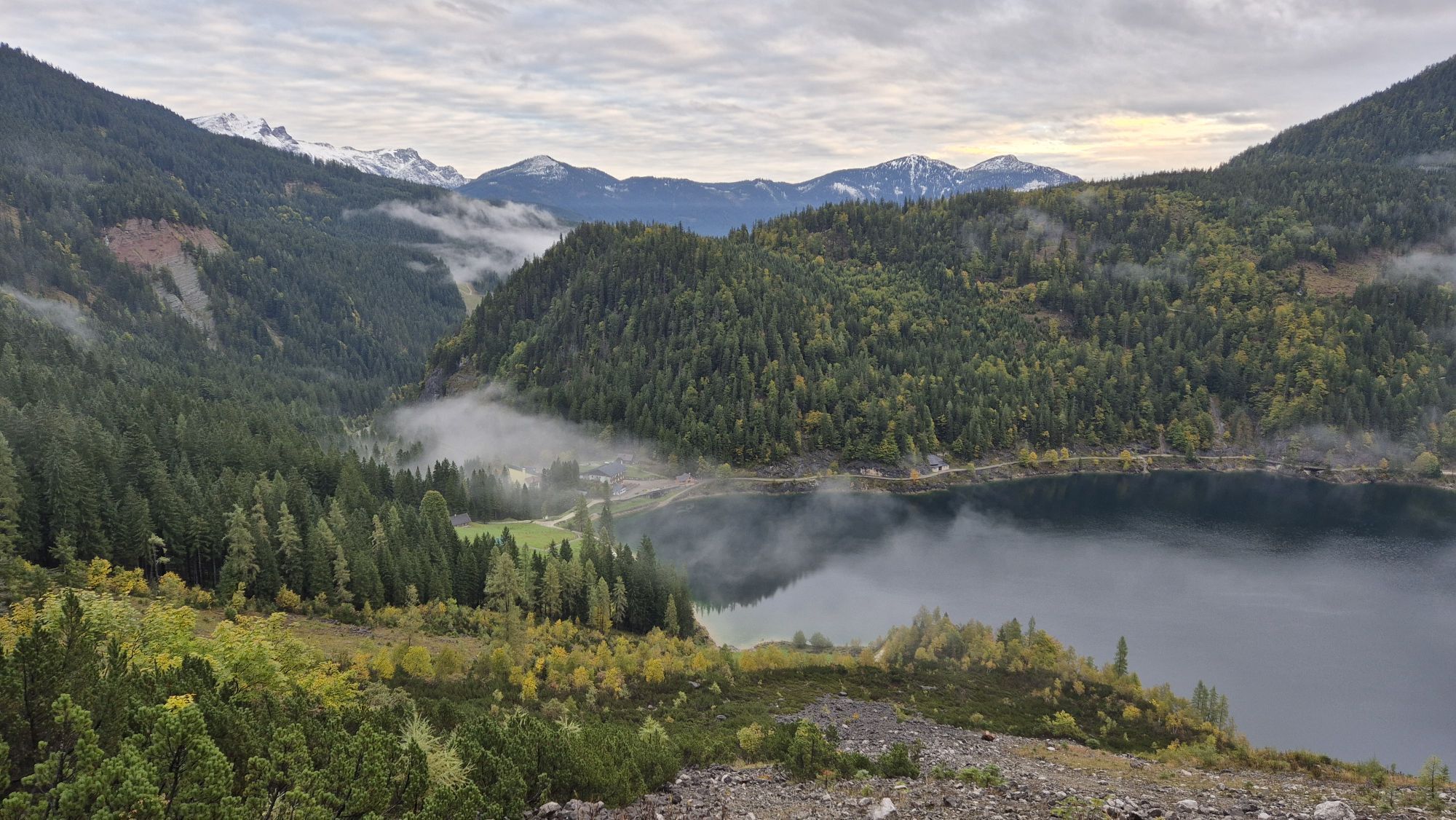
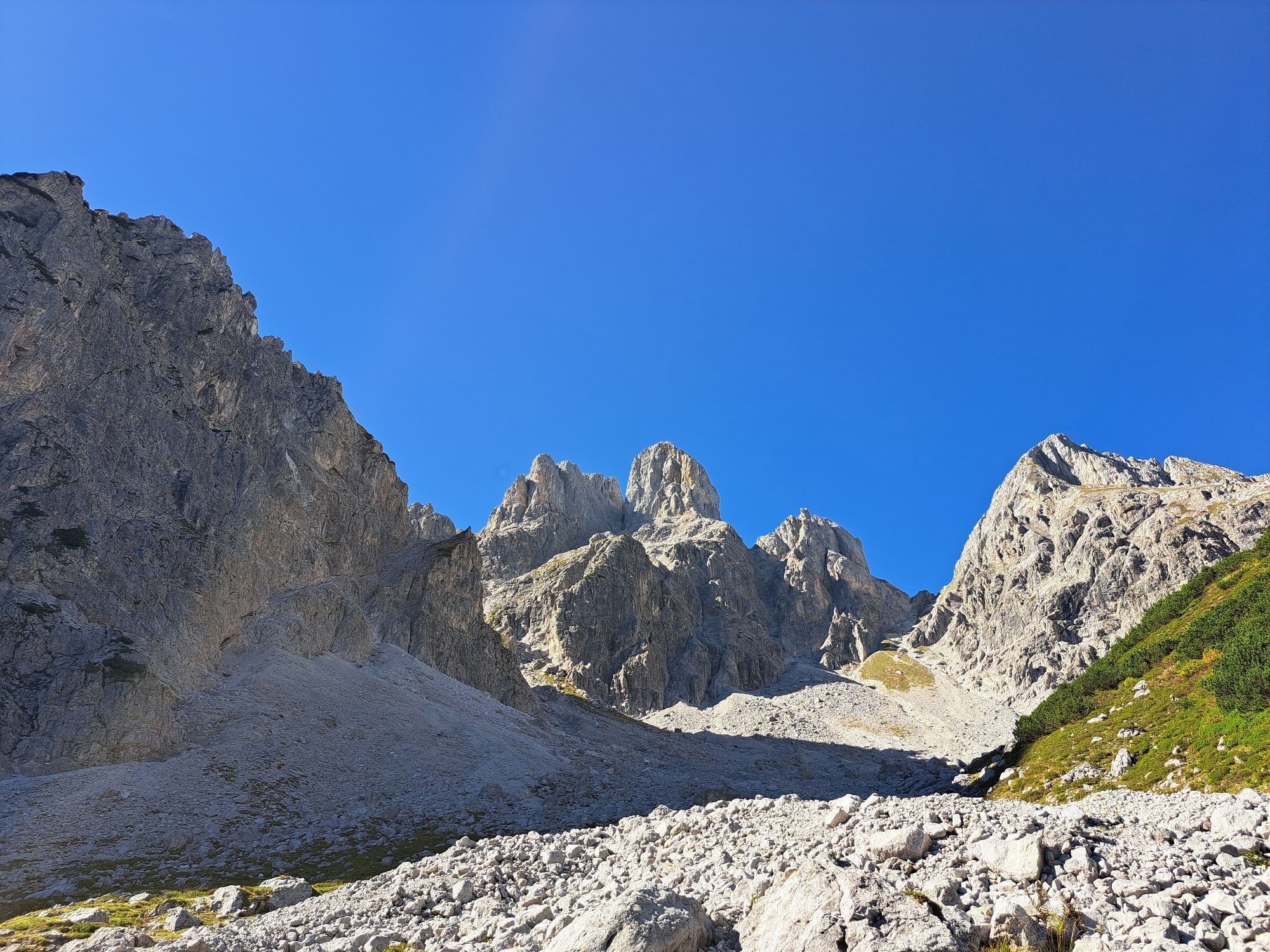
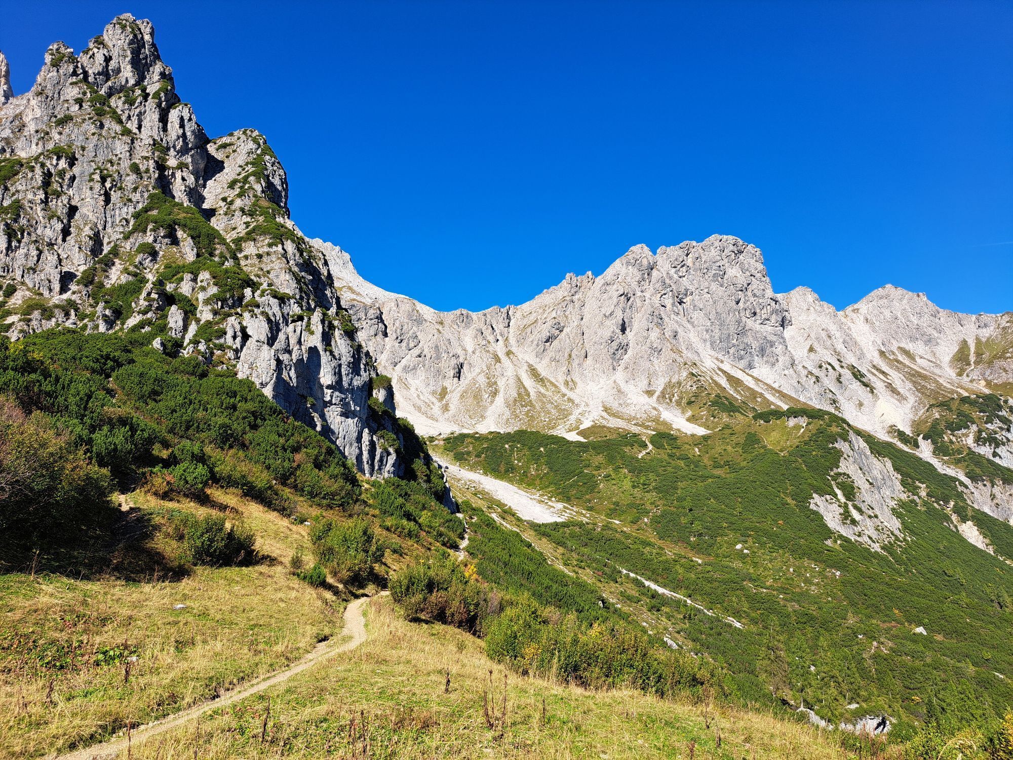
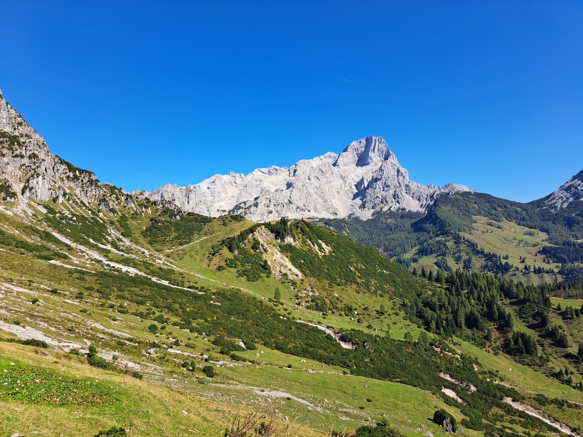
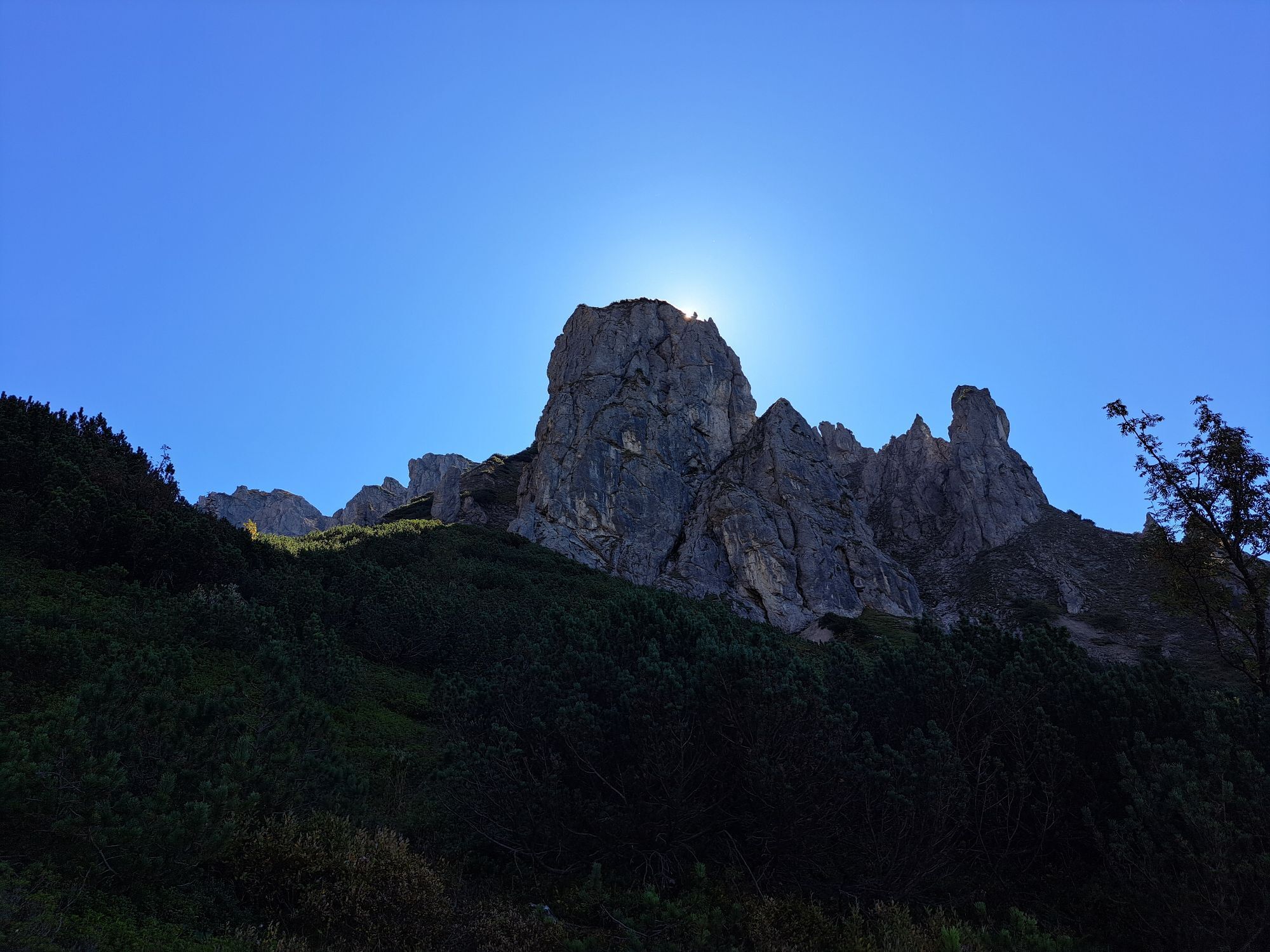
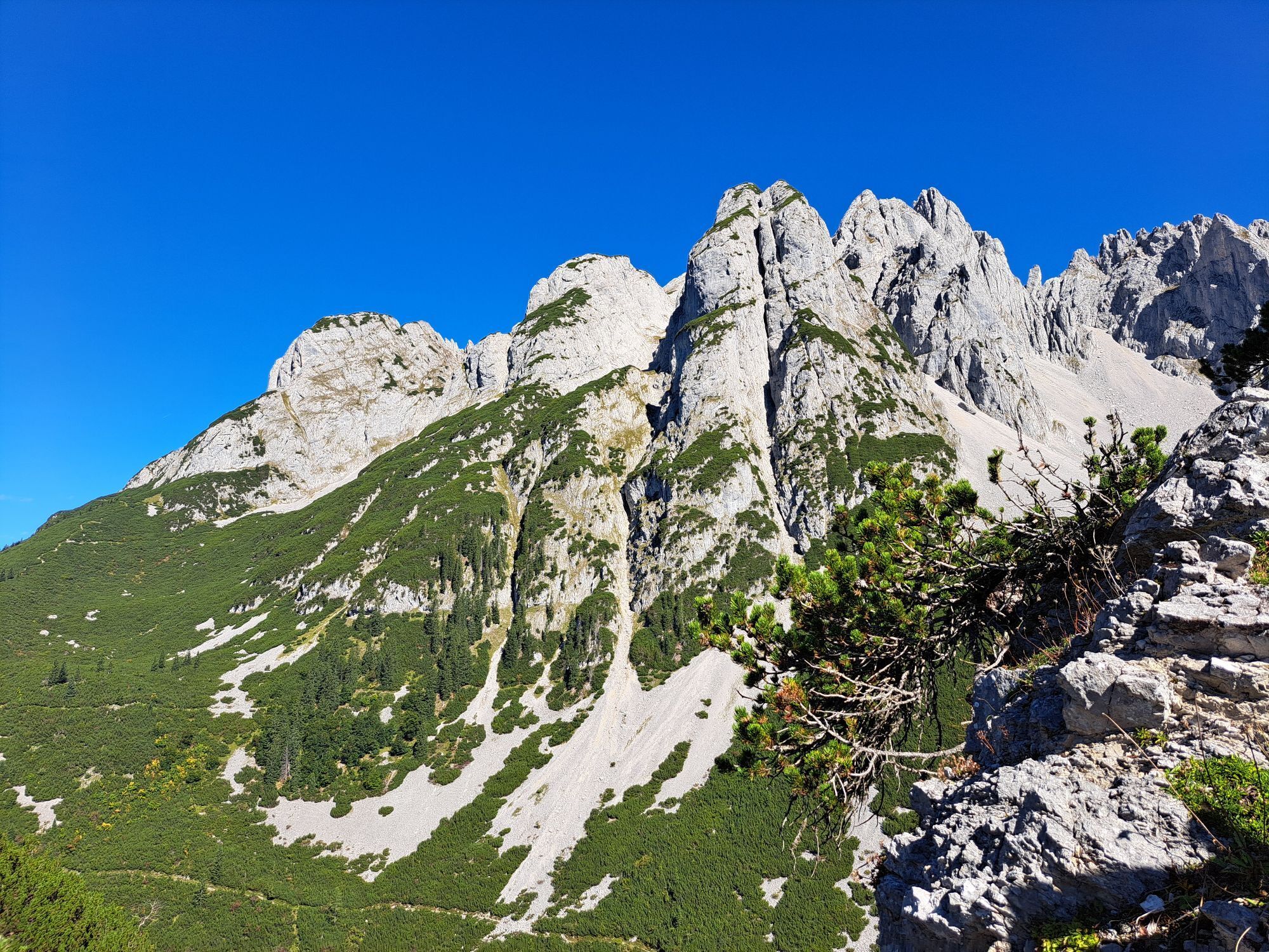
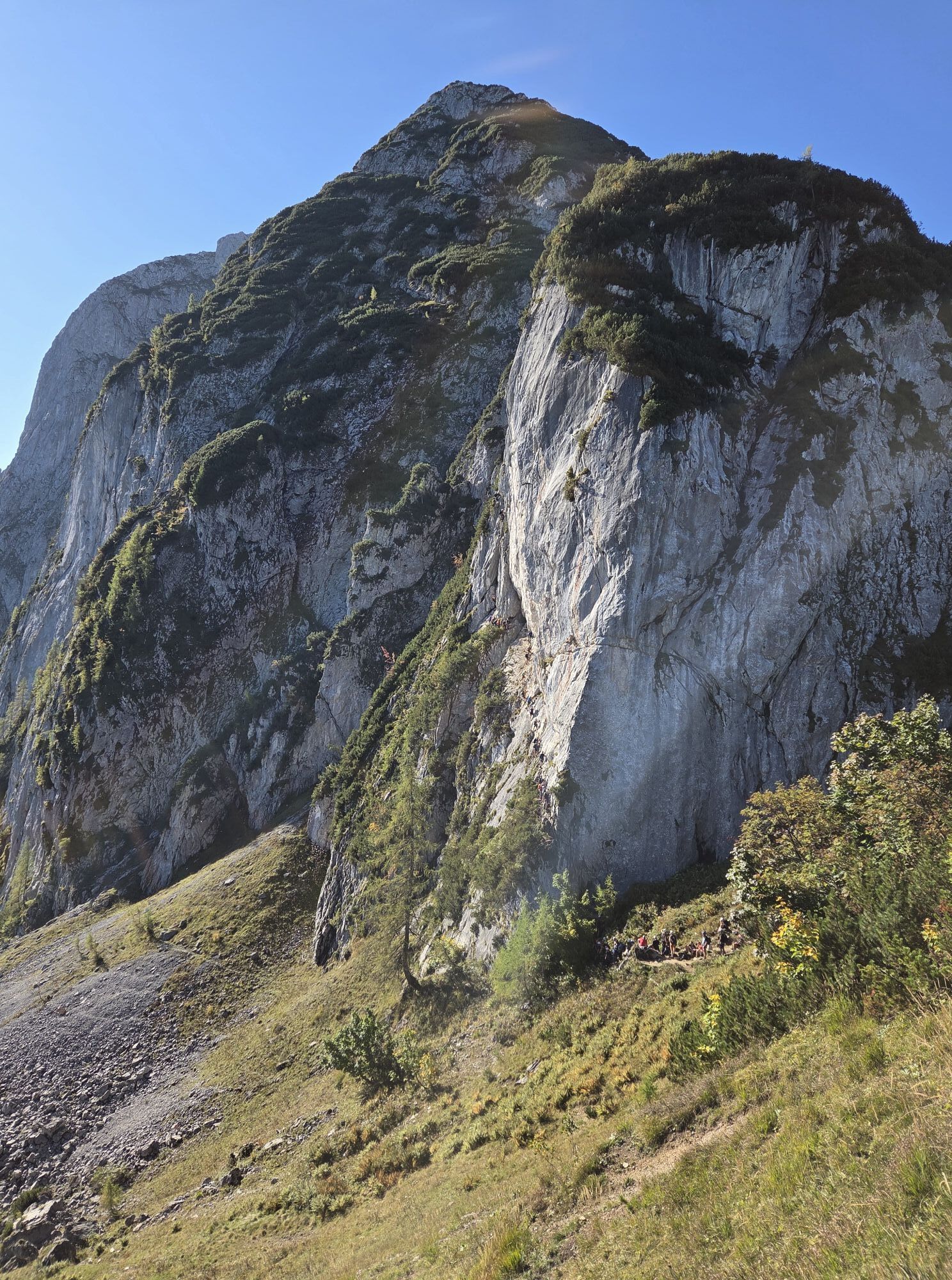
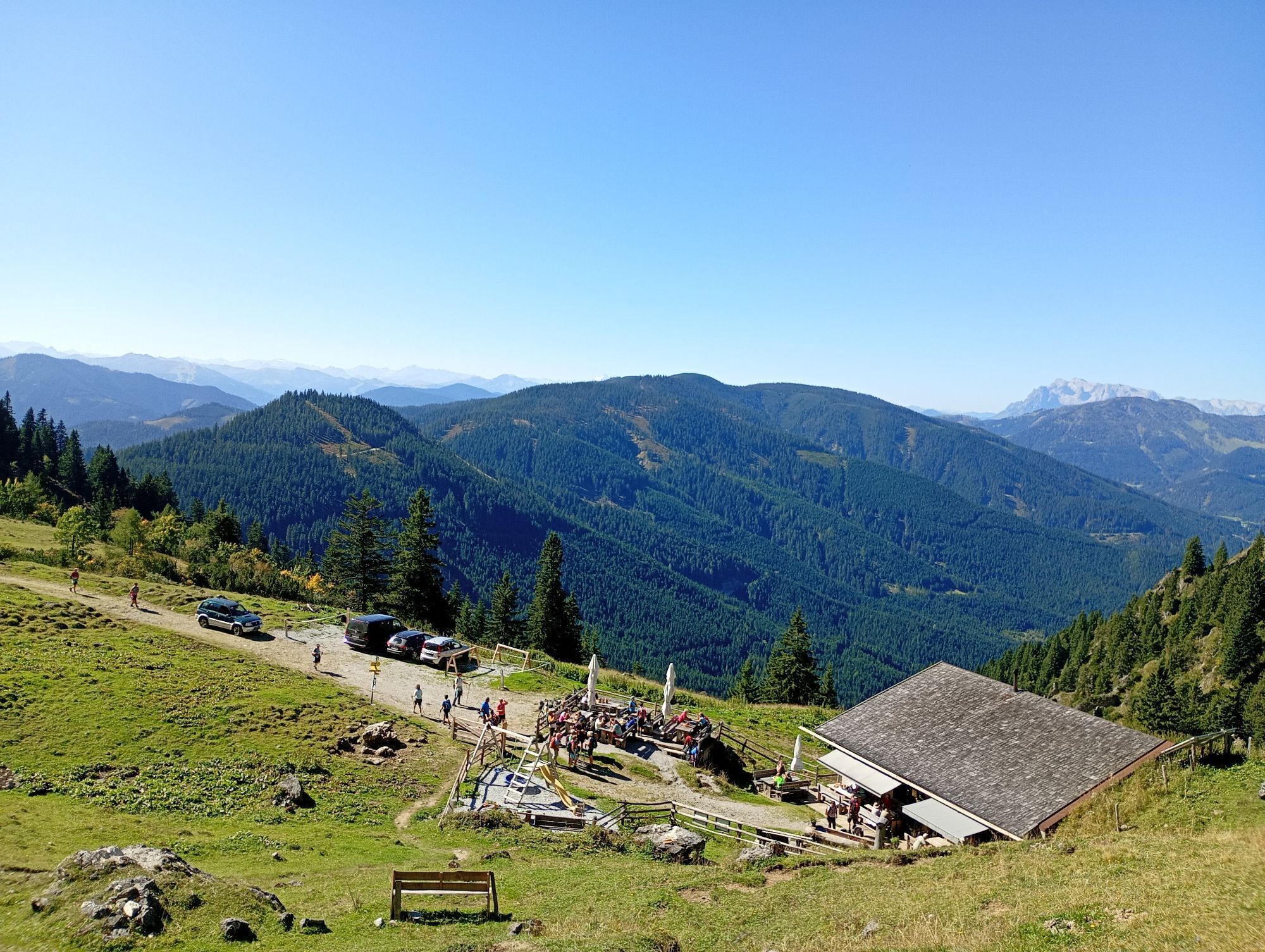
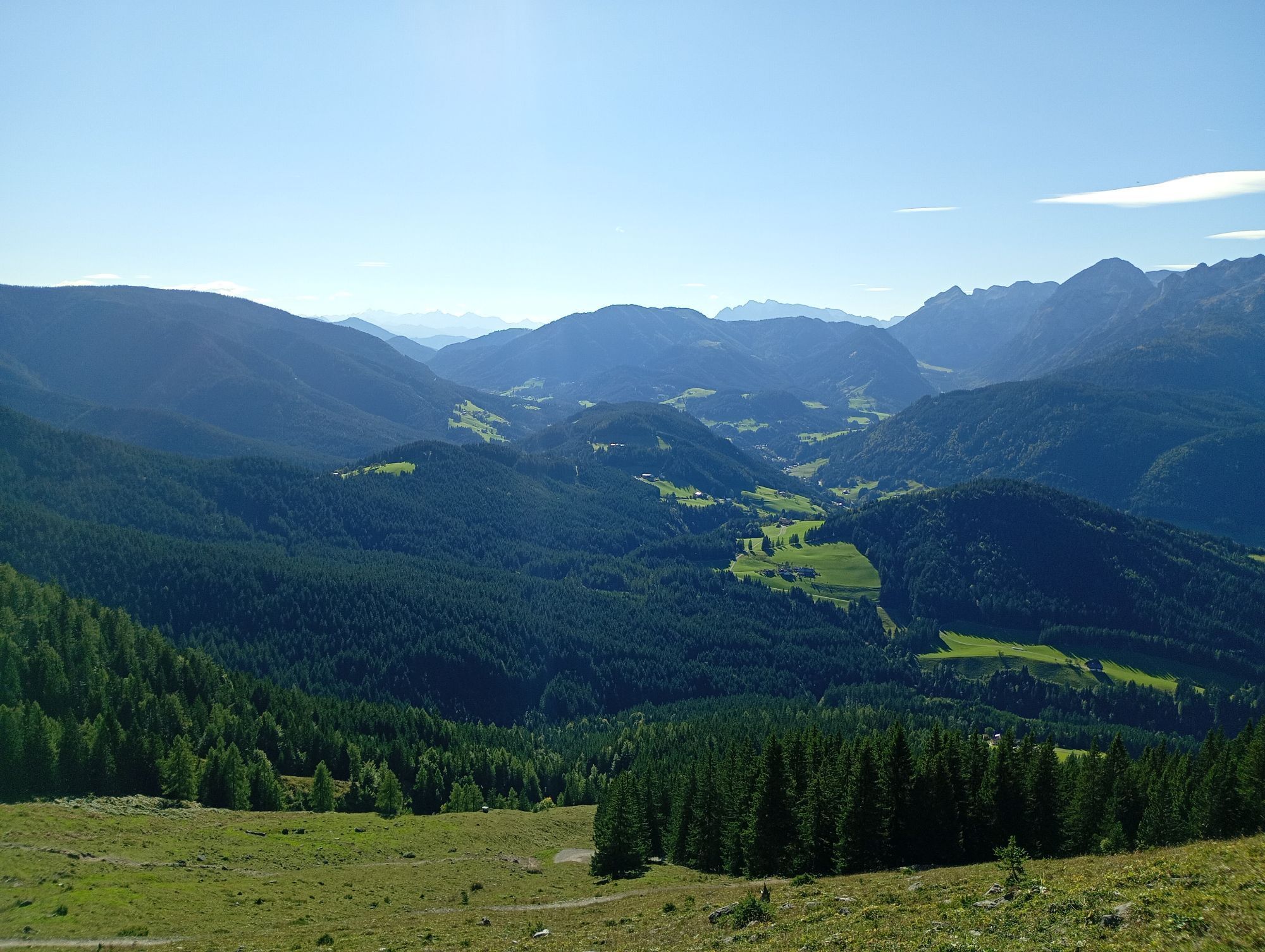
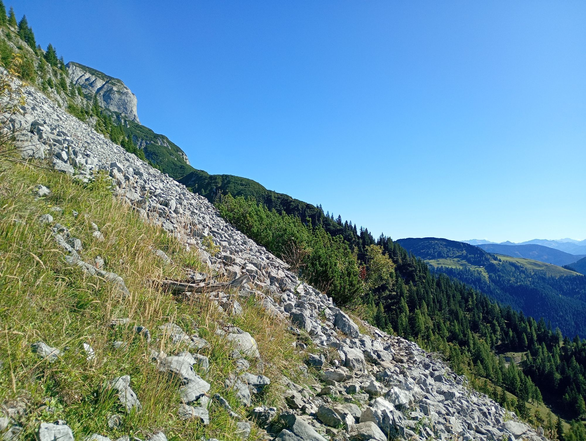
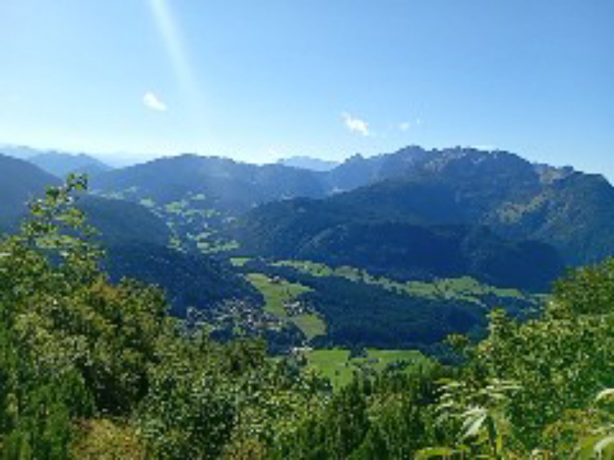
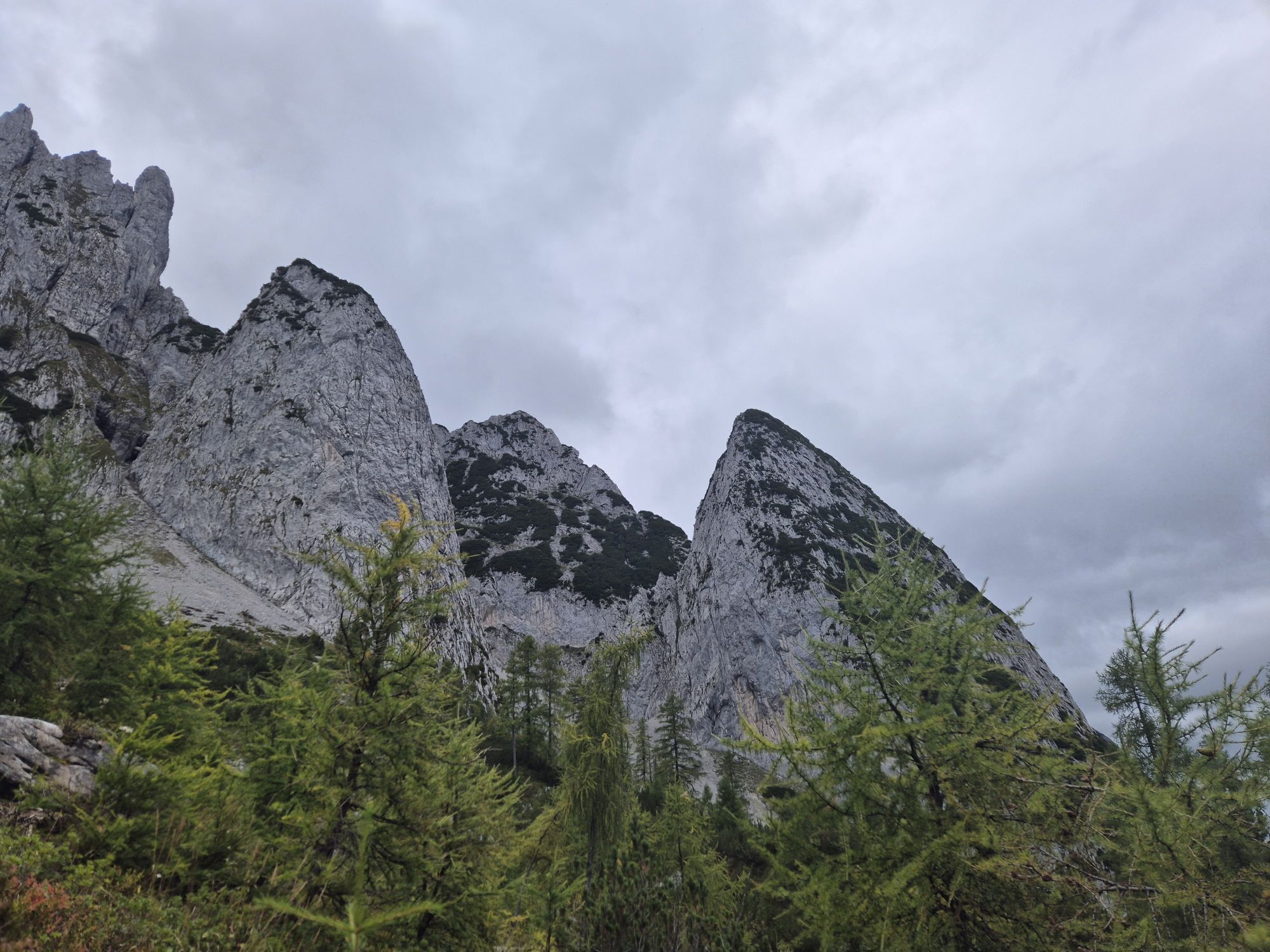
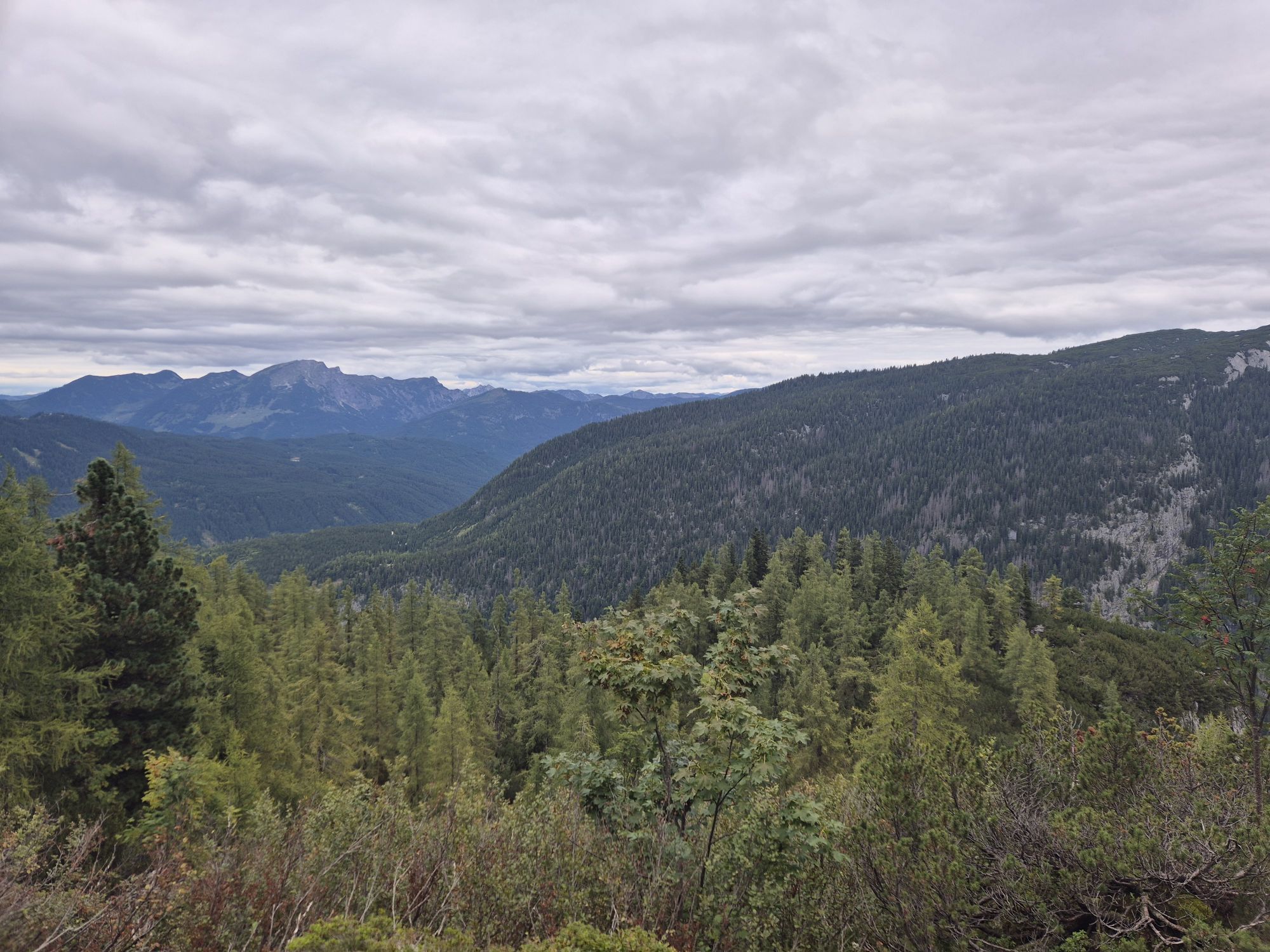
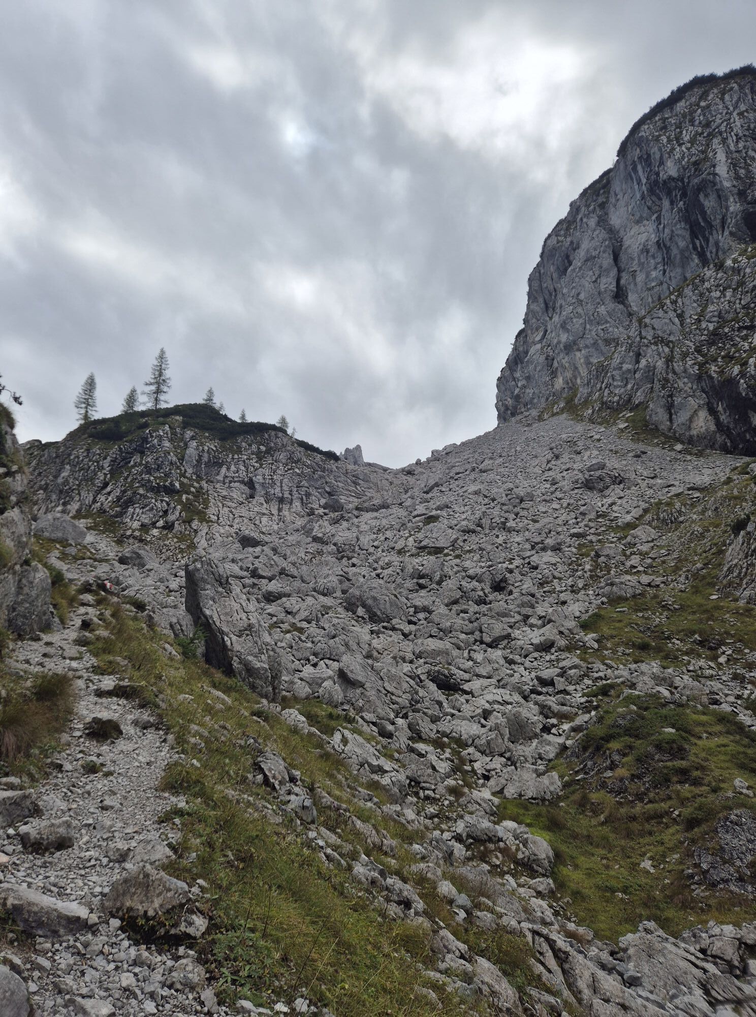
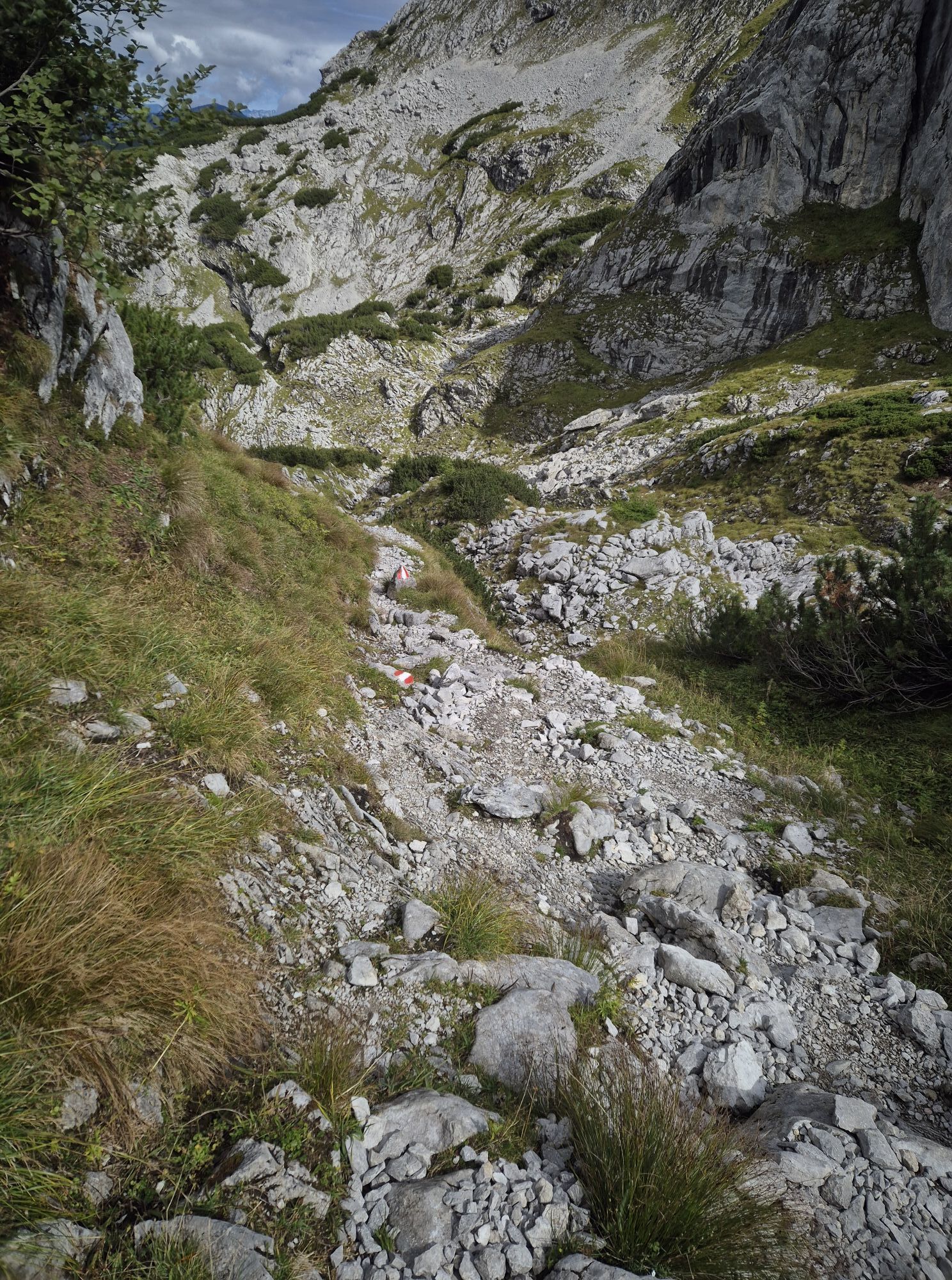
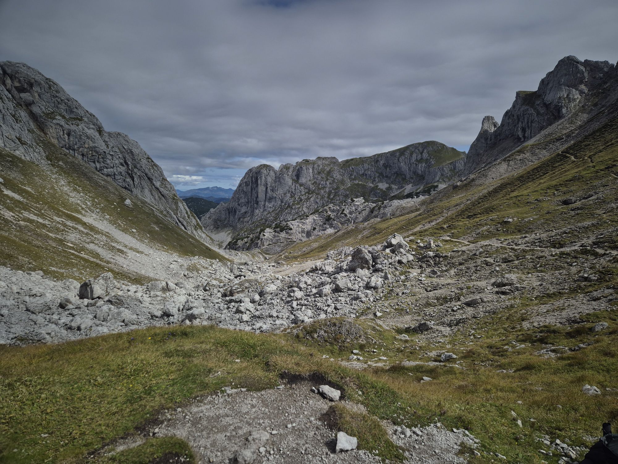
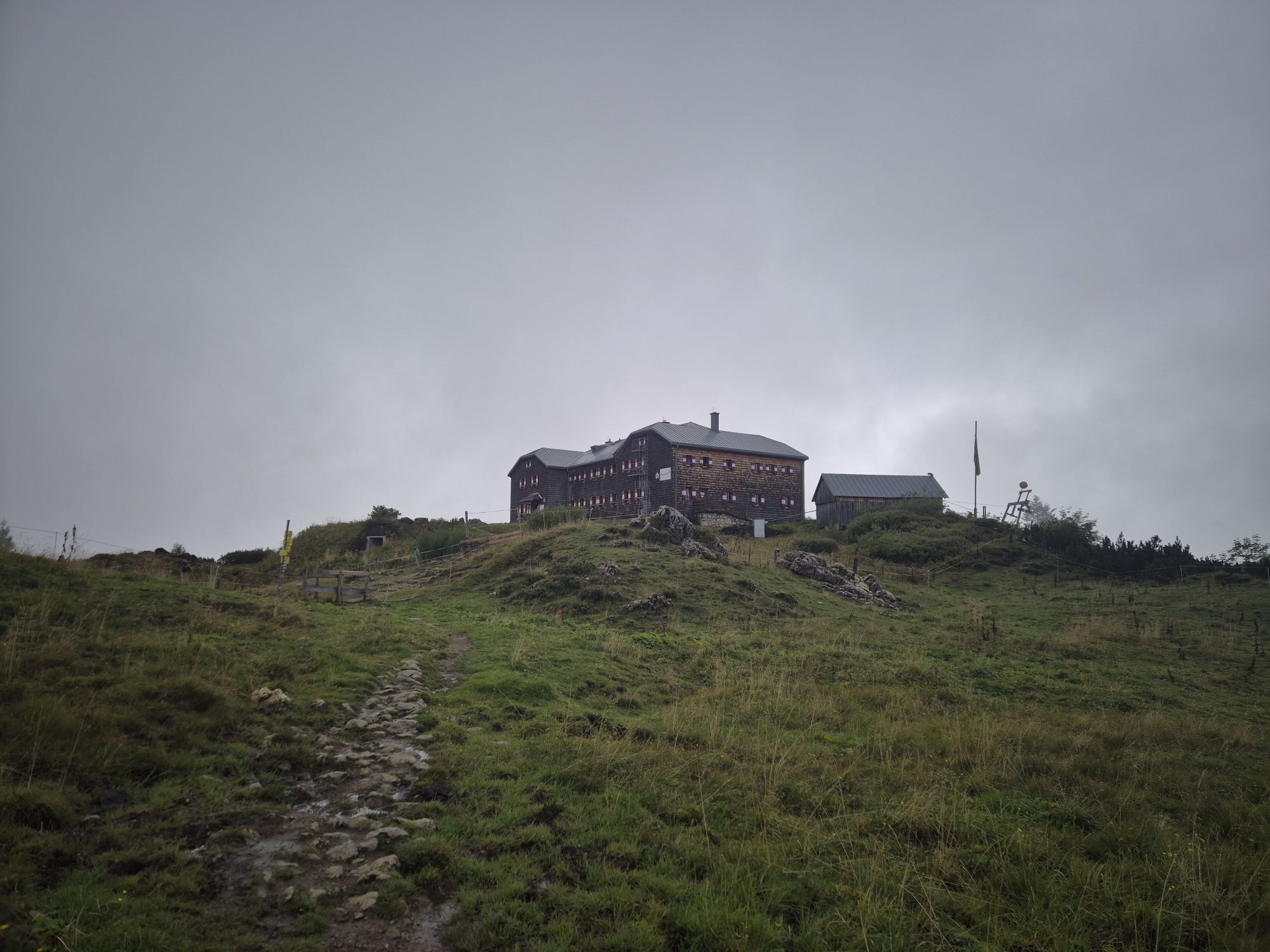
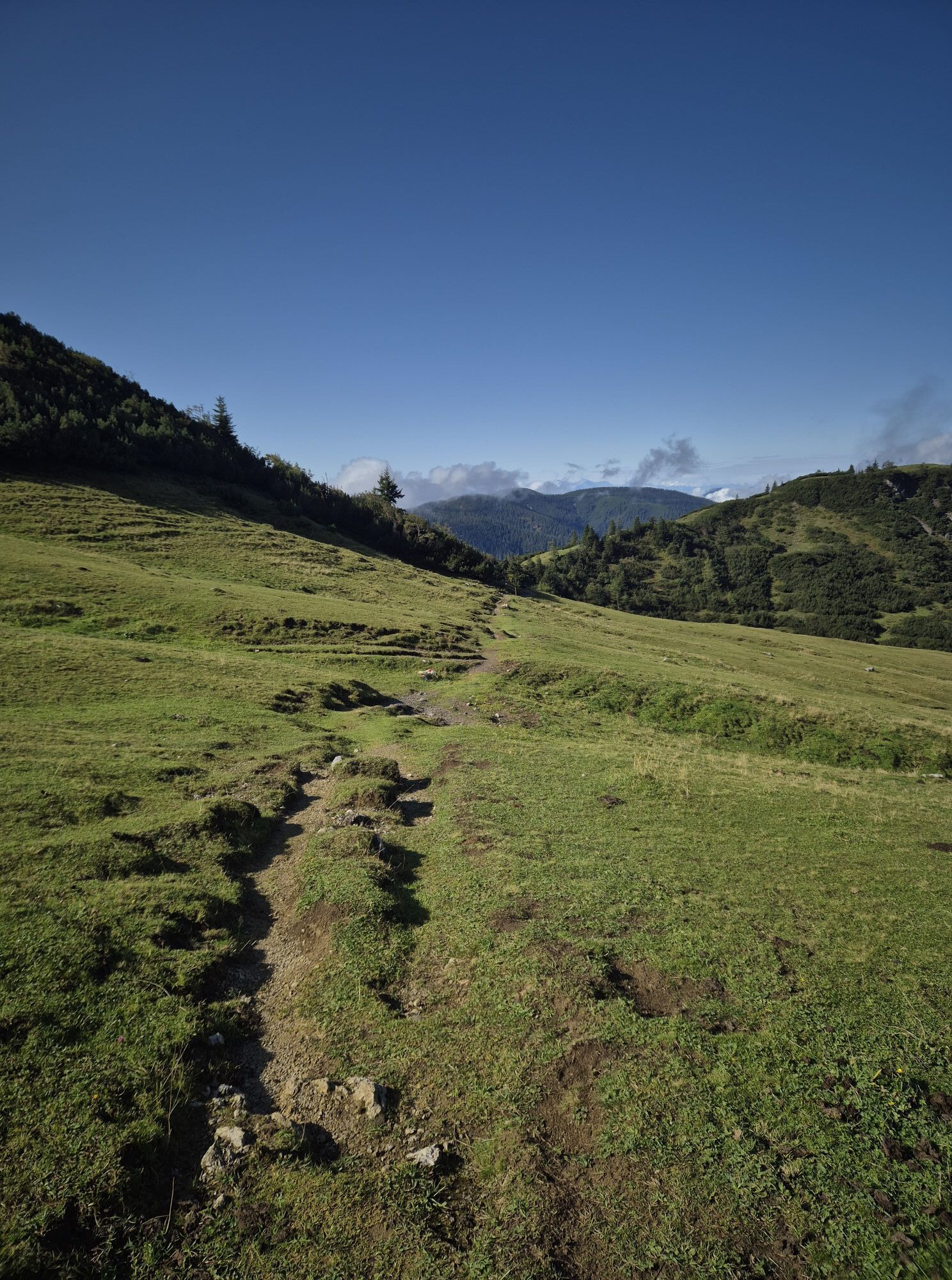
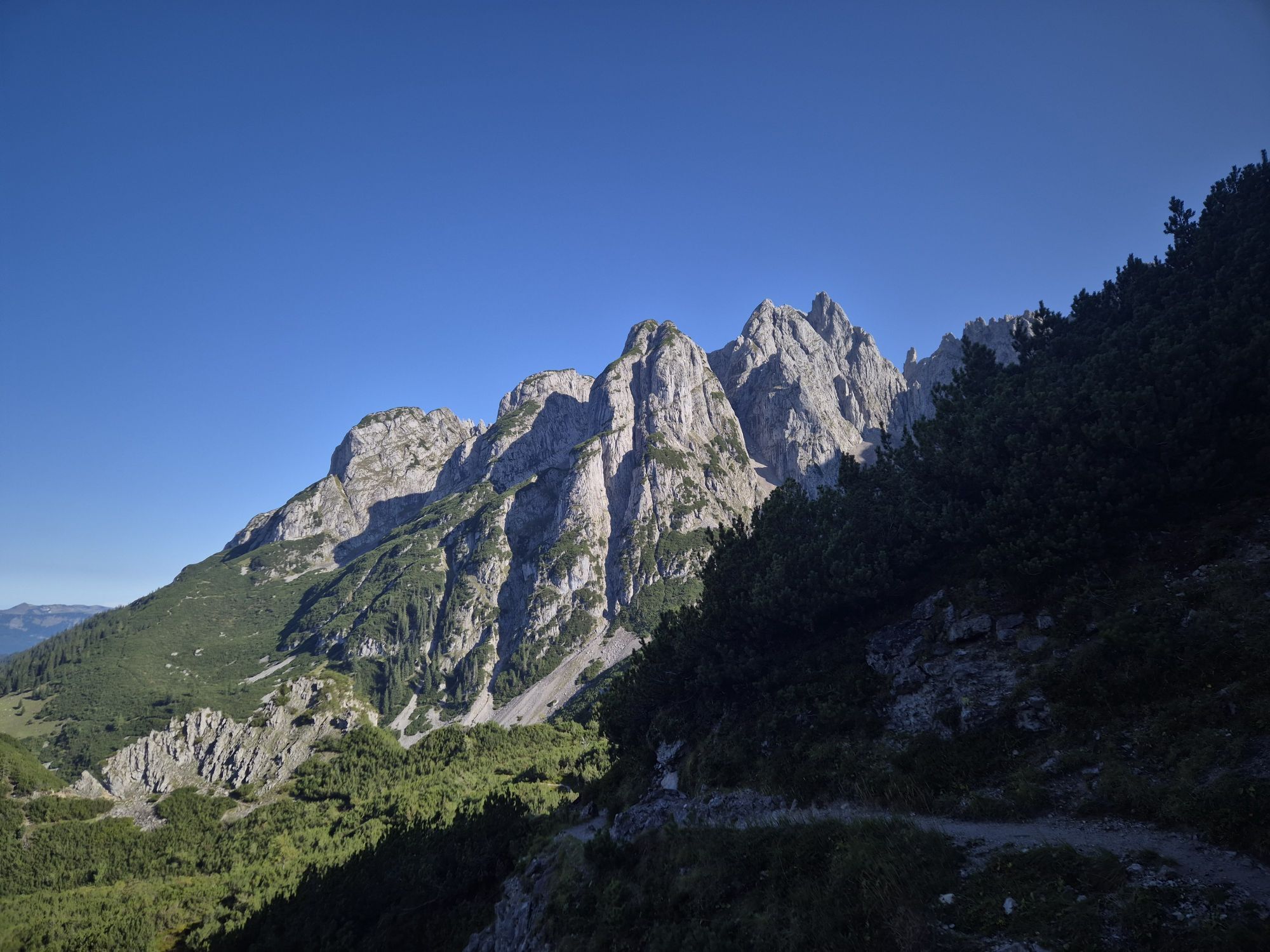
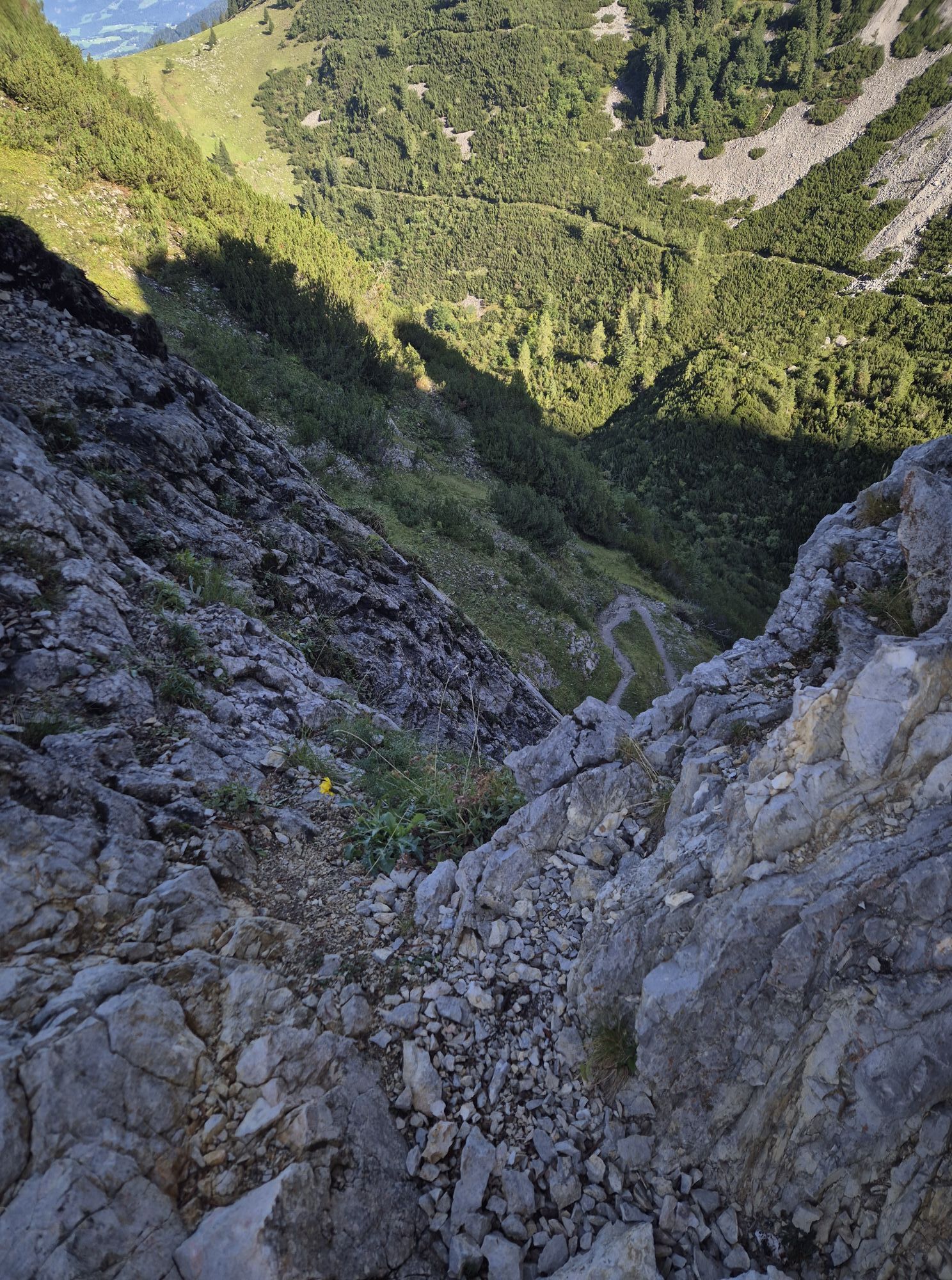
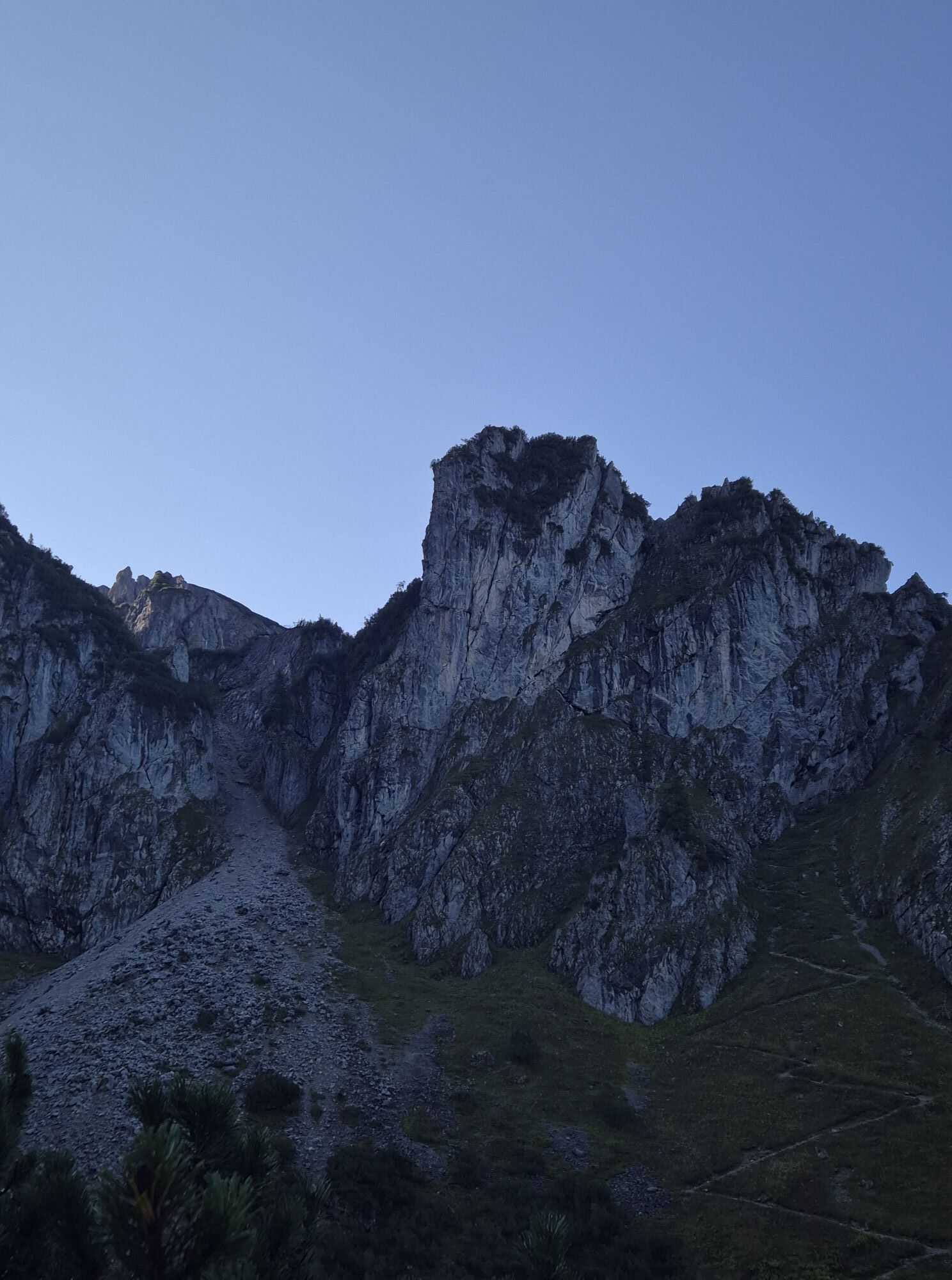
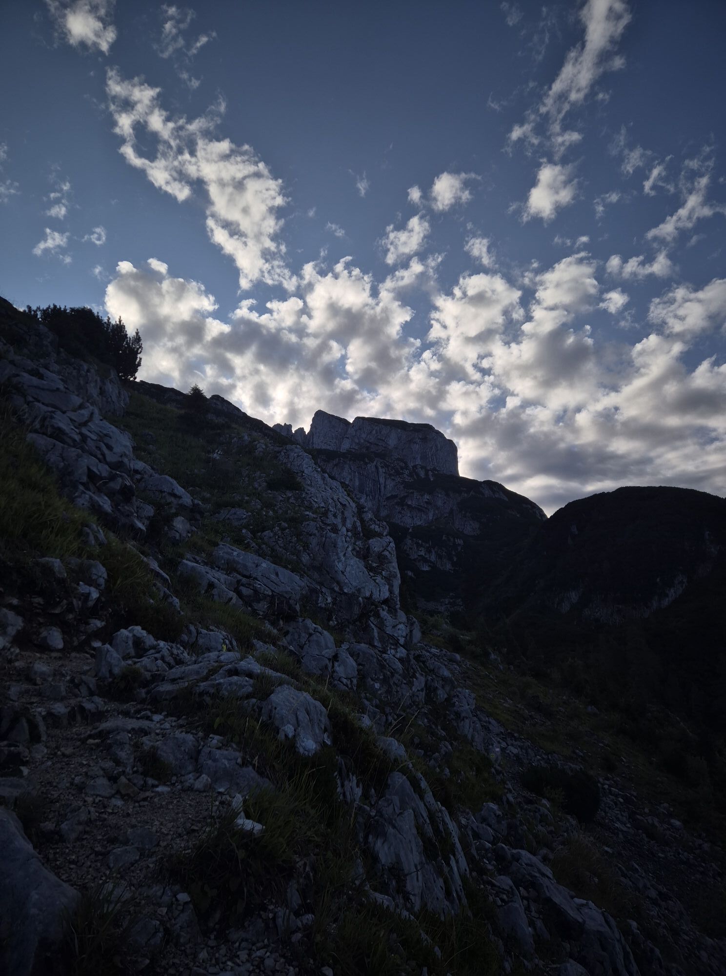
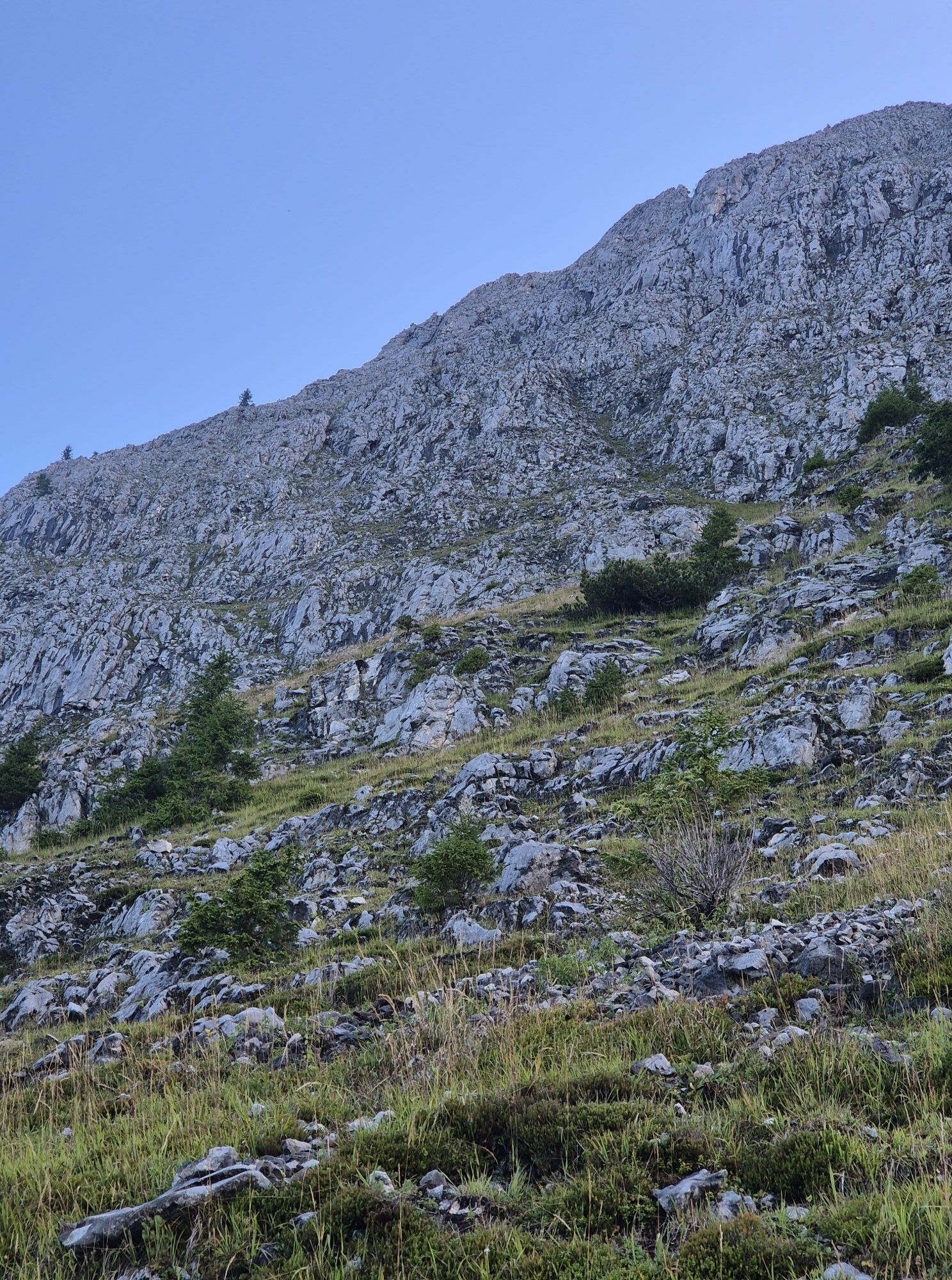
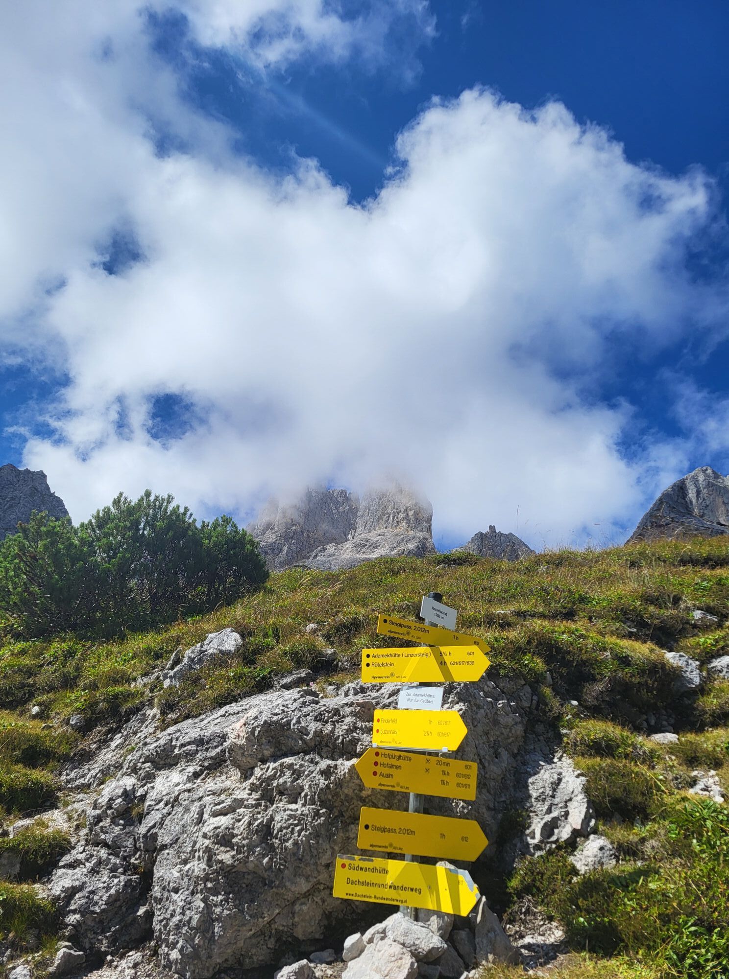
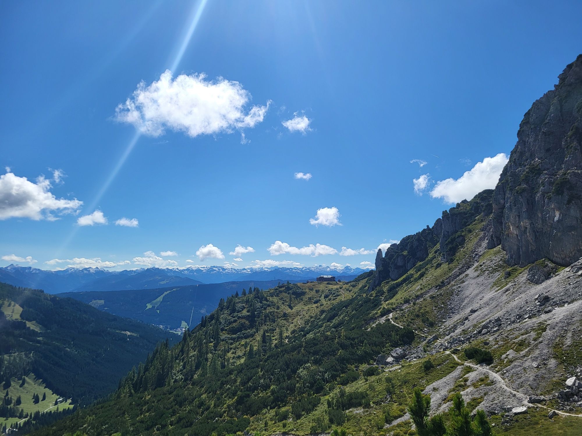
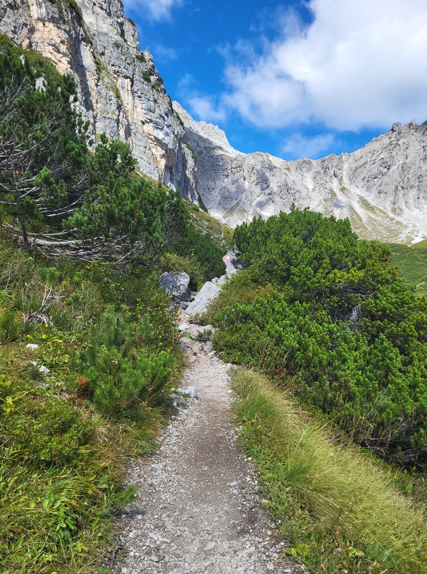
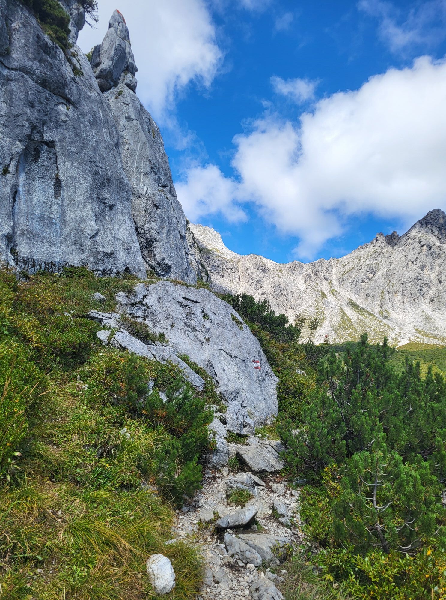
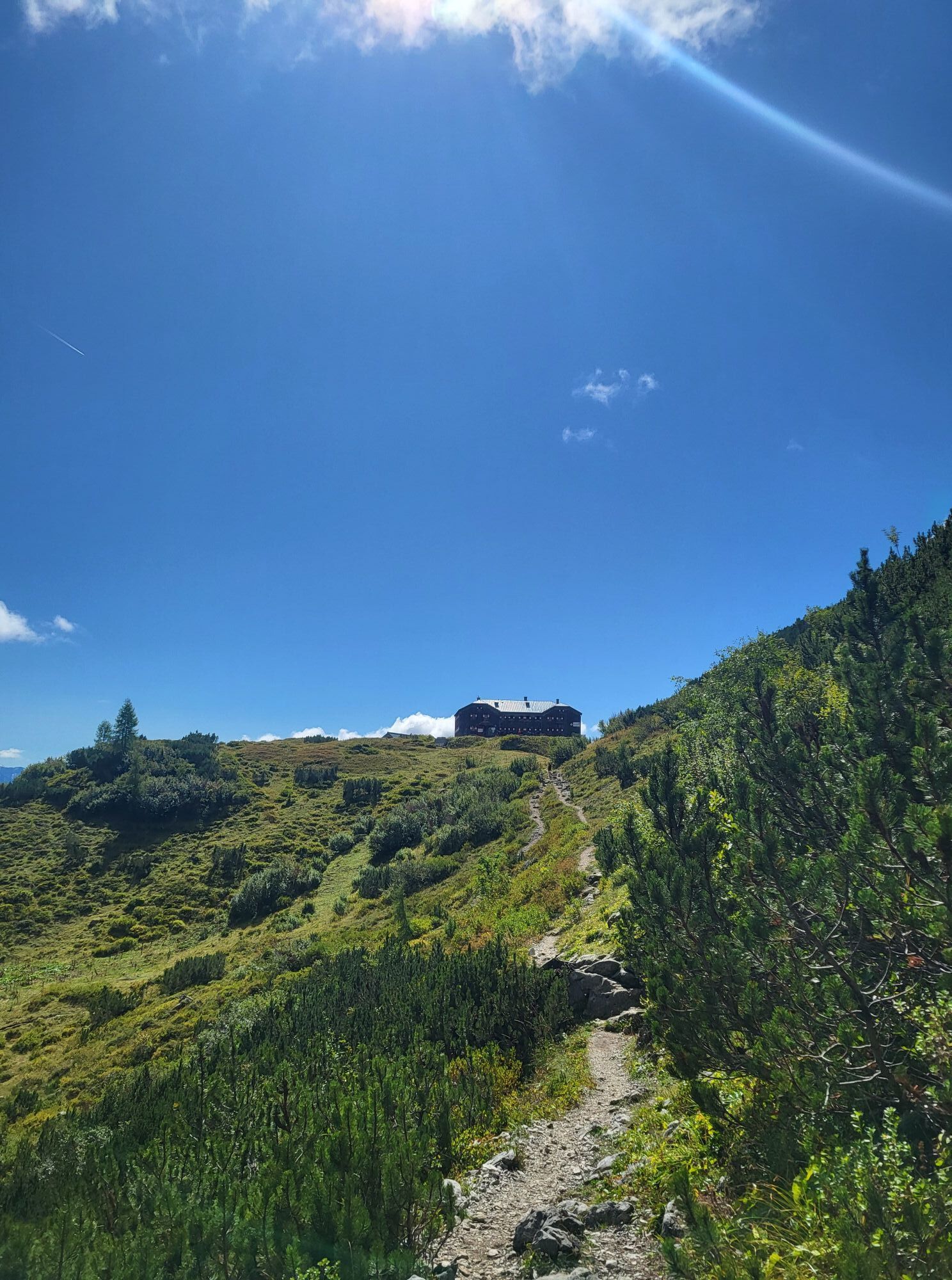
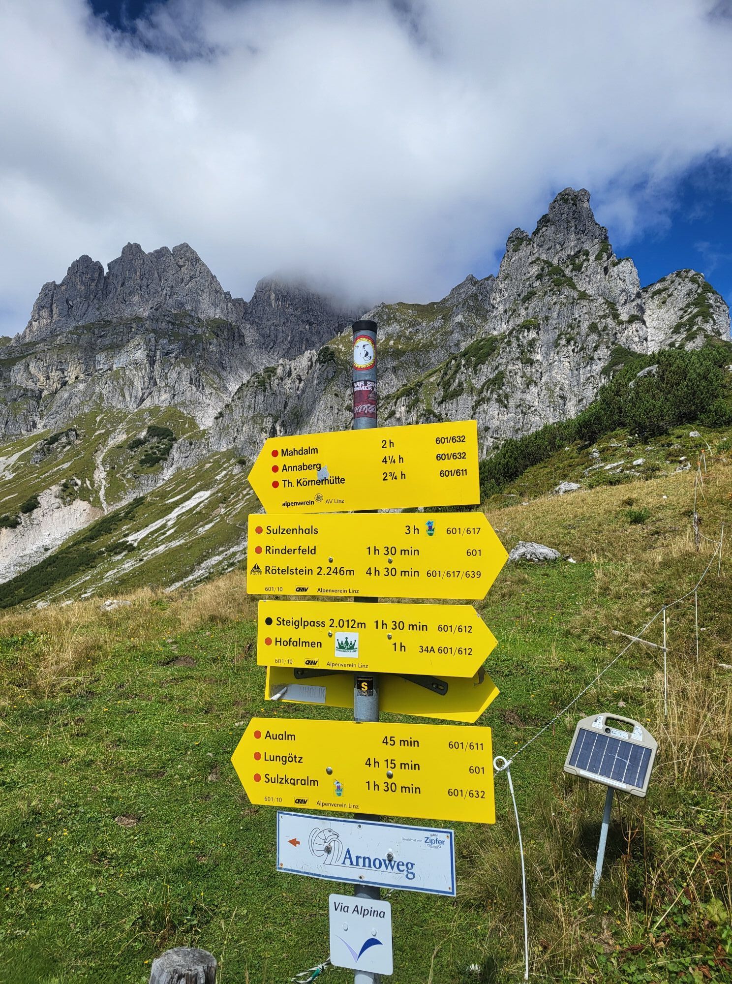
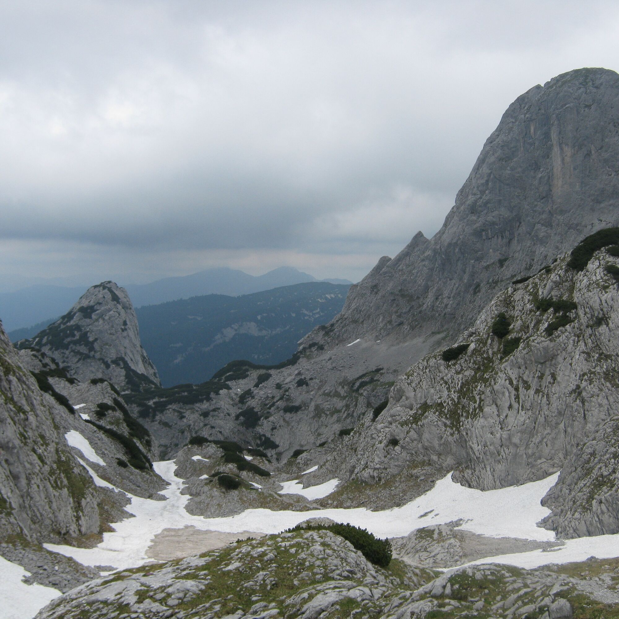
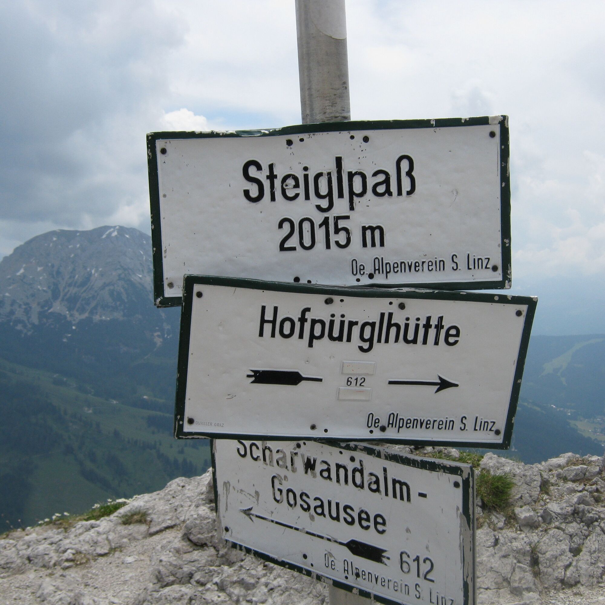
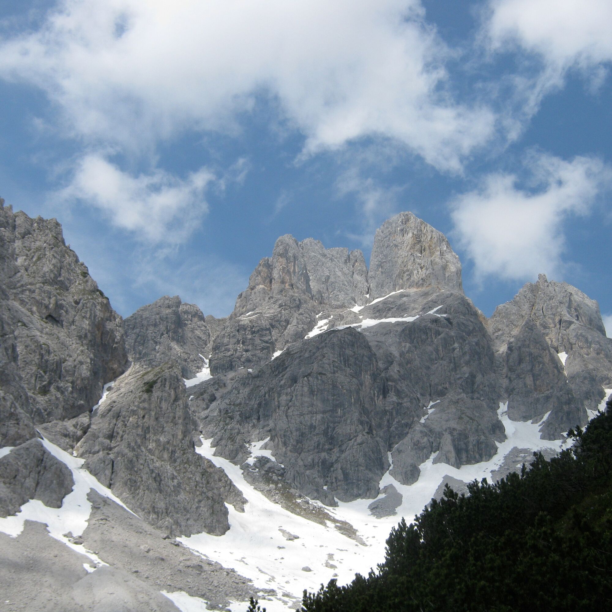
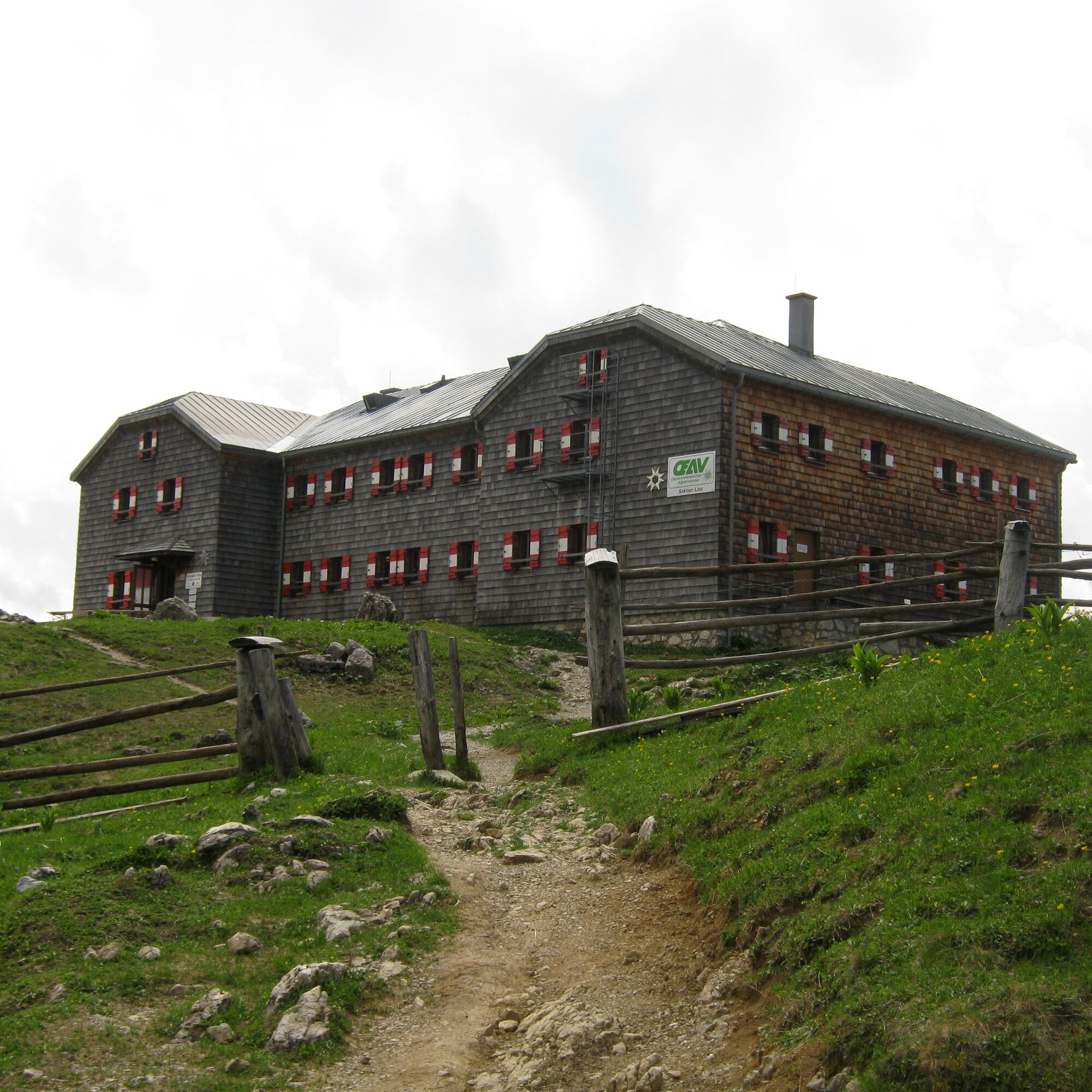
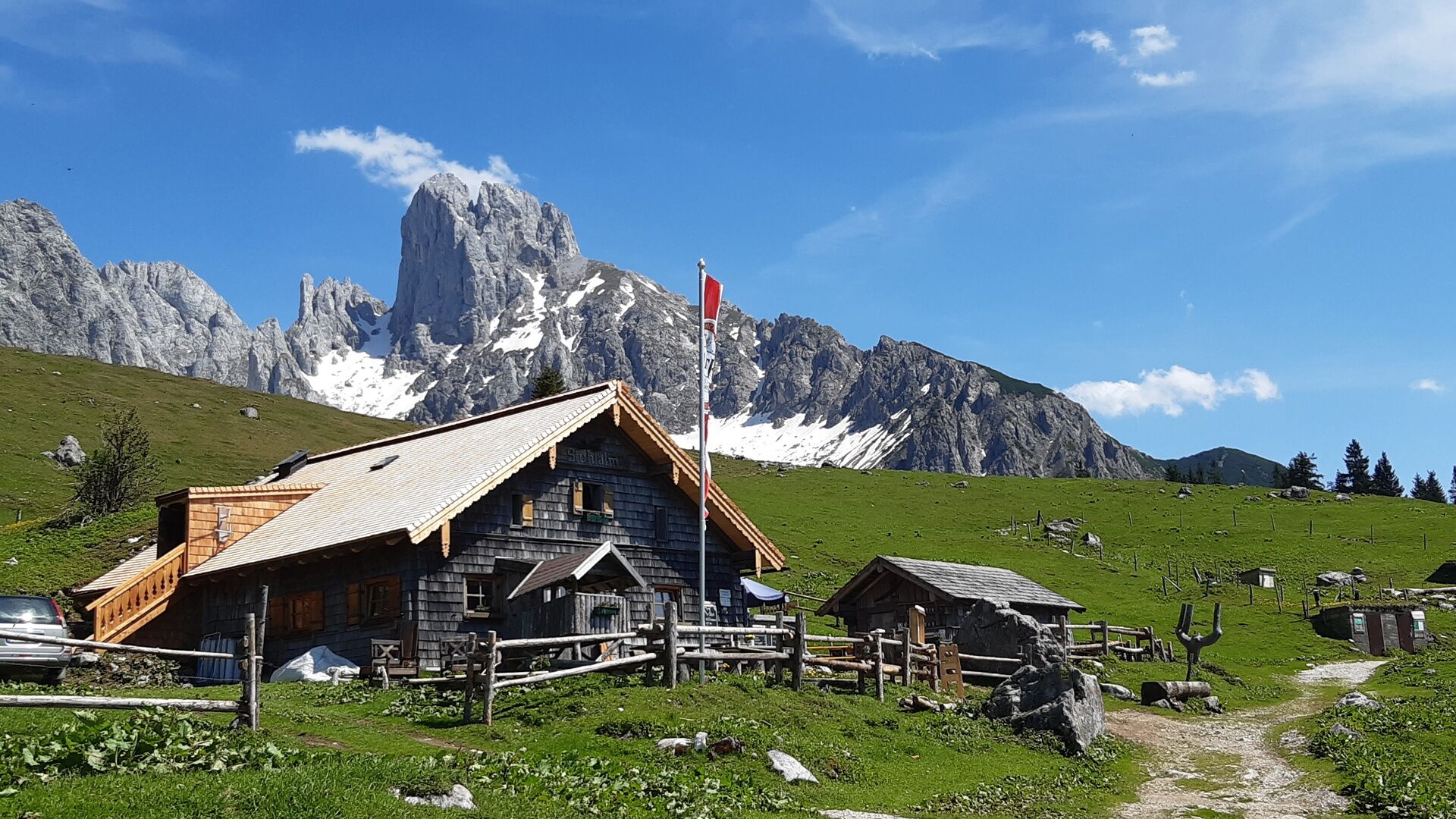
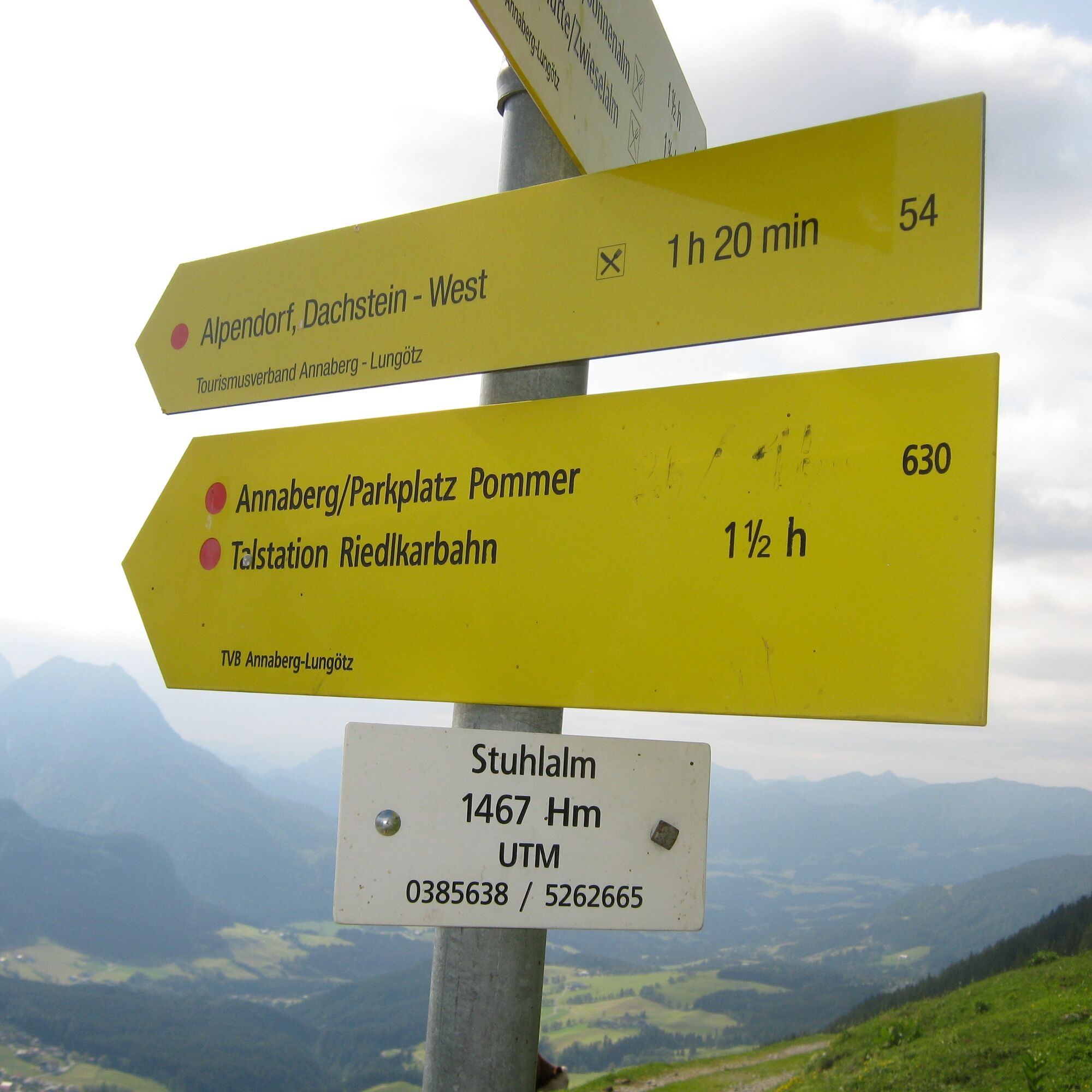
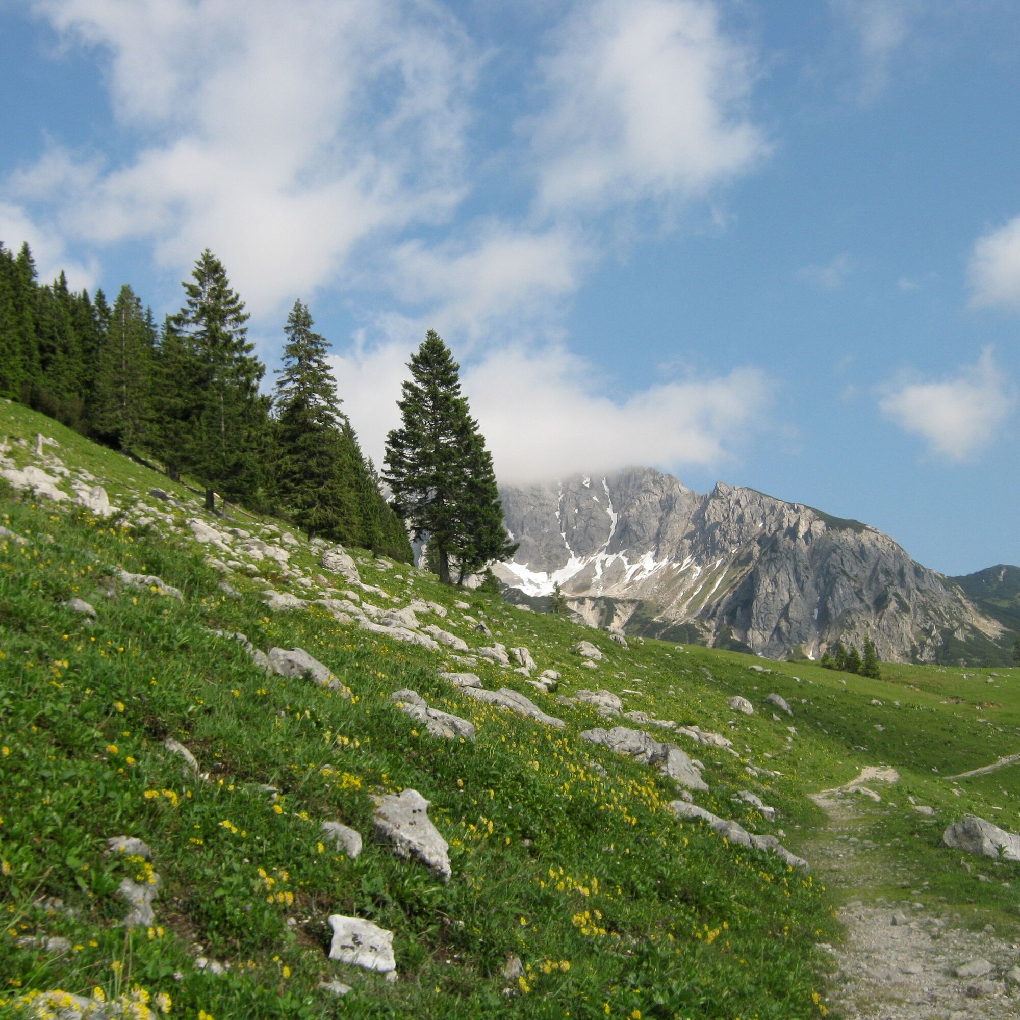
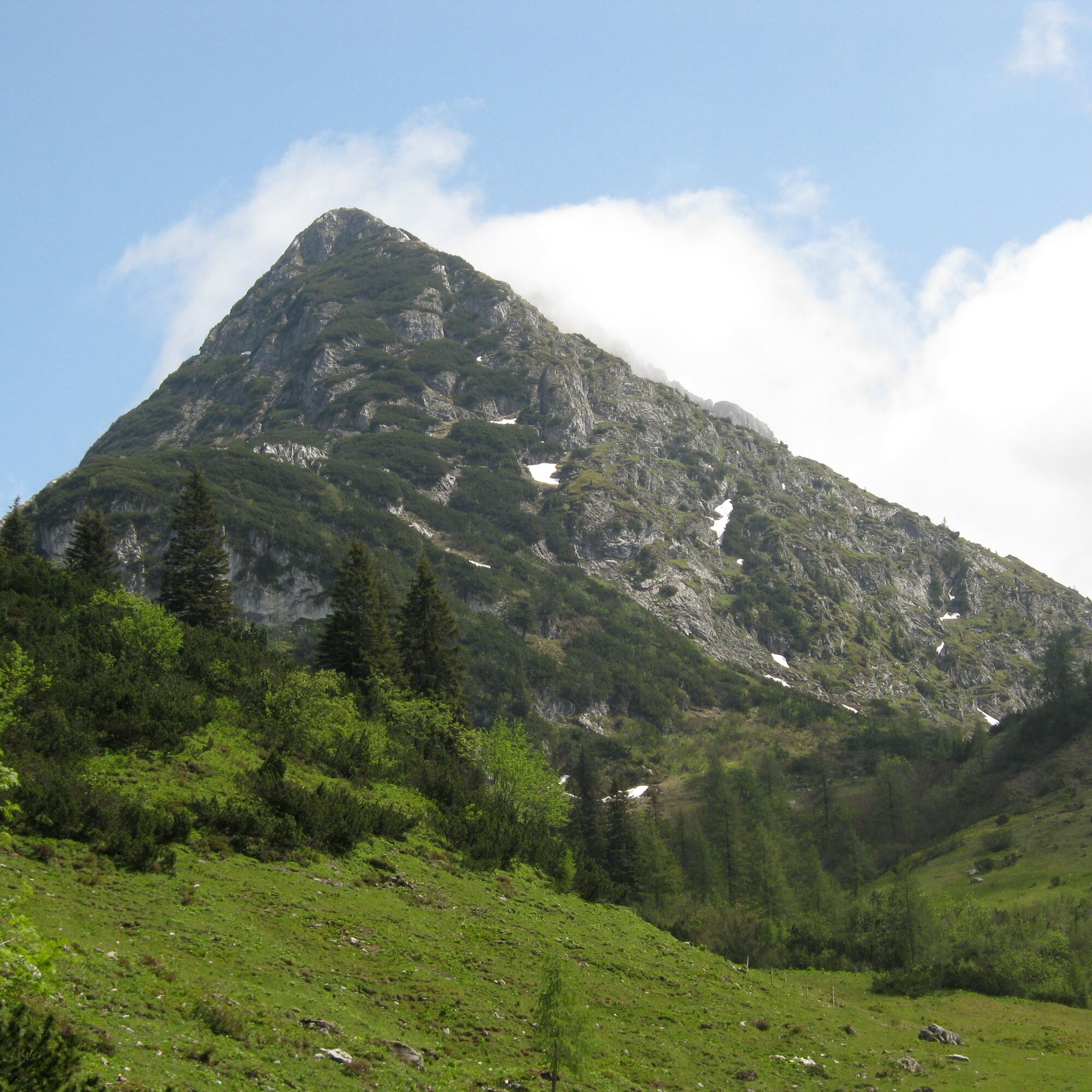
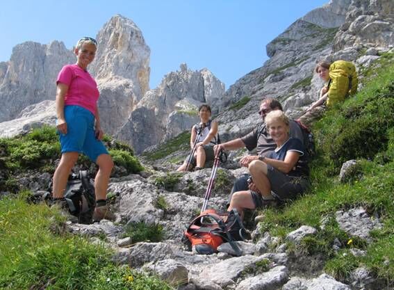
The tour around the Gosaukamm is a "classic" among alpine high-altitude trails. Gentle and rugged are often just a stone's throw away from each other here. Probably the most beautiful part of this tour is reached on the Steiglpass, where you come very close to the strikingly shaped Bischofsmütze. Since 1993, the highest mountain in the Gosaukamm range has lost large parts of its south and east face - the yellow demolition area, which is a reminder of this landslide of the century, still sends volleys of rockfall into the depths. We first hike from the cable car station to the nearby Gablonzer Hütte and on to the fork in the trail at Unterer Törlecksattel. Follow the Austriaweg trail downhill to the right through rocky grassy slopes and a section of forest to the Stuhlalm (the nearby Theodor-Körner-Hütte is hidden in the forest). Cross the grassy ridge above the alp (Mooseben) into the mountain pine-covered Grubach below the Stuhlloch and through a narrow gorge ("passage") made passable with wooden steps and steel cable up to the Jöchl. Then almost flat under the rocky foothills of the Bischofsmütze (steel cables) to the Mahdalmriegel, there to the left and through the wide grass and scree slopes above the Sulzkar and Retteneggalm to the Hofpürglhütte, which is already visible from afar. Continue along the Linzer Weg (No. 612 or 601) into the huge scree basin below the Bischofsmütze. Turn left there, through the slope to the foot of the wall and over exposed rocky ledges secured with steel cables to the Steiglpass. On the north side, the climbing trail leads down through stepped karst terrain into the rocky high valley between the Großwand and the Kopfwand. Through the ice pit into the Ahornkar covered in mountain pines and - past the Weitgries - to the Hintere Scharwandalm (memorial). Via a steeper forest slope we reach a historic hunting lodge and through the outlet of the Gamsriese filled with debris to the Scharwandhütte below. Descend along the sloping forest ramp above the Vordere Scharwand, turn right at the next fork in the path and through the scree field below the Strichkogel to the Seeklausalm at the Vordere Gosausee. Turn right over the dam wall to the inn or to the cable car valley station.
Order hiking maps for the Dachstein Salzkammergut region ...
Experience a 360° panorama tour through Gosau valley…
Mountain rescue: 140


Webové kamery z prehliadky
-
Zwieselalm Bergstation
-
Snowpark Dachstein West
-
Edtalm
-
Feriendorf Annaberg
-
Bergstation Hornbahn - Hornspitz
-
Bergstation Hornbahn - Hornspitz
-
Bergstation Hornbahn - Hornspitz
-
Bergstation Hornbahn - Hornspitz
-
Bergstation Hornbahn - Hornspitz
-
Dachstein West - Donnerkogelbahn
-
Bergstation Hornbahn - Hornspitz
-
Bergstation Hornbahn - Hornspitz
-
Zwieselalm Talstation - Dachstein West
-
Hornspitz II Bergstation
-
Snowpark Dachstein West
-
Snowpark Dachstein West
-
Snowpark Dachstein West
-
Snowpark Dachstein West
-
Gasthaus Gosausee
Obľúbené výlety v okolí
-
4,3
Filzmoos: Rötelstein (Rettenstein)
Turistika 9,50 km -
4,6
Donnerkogel vom Gosausee mit Intersport Klettersteig C/D und Himmelsleiter
ťažkéVia ferrata 7,70 km -
4,7
Vorderer u. hinterer Gosausee
strednáTuristika 15,0 km -
4,2
Jungfrauensteig Rundtour
strednáTuristika 7,63 km -
4,7
GOSAU | Gosauseen
svetloTuristika 14,6 km -
4,2
Hornspitz von Russbach
strednáSkitour 6,93 km -
3,6
Salzburger Gipfelspiel: To the Gerzkopf and the Schwarzen Lacke
strednáTuristika 8,39 km -
4,1
Wiesberghaus
strednáSkitour 21,6 km -
3,7
Neustadtalm (Neustadlalm)-Bachlalm
Turistika 9,20 km -
3,9
Rittisberg Rundweg
svetloTuristika 11,8 km
Turistika a stopovanie


Nenechajte si ujsť ponuky a inšpiráciu na ďalšiu dovolenku
Vaša e-mailová adresa bol pridaný do poštového zoznamu.