


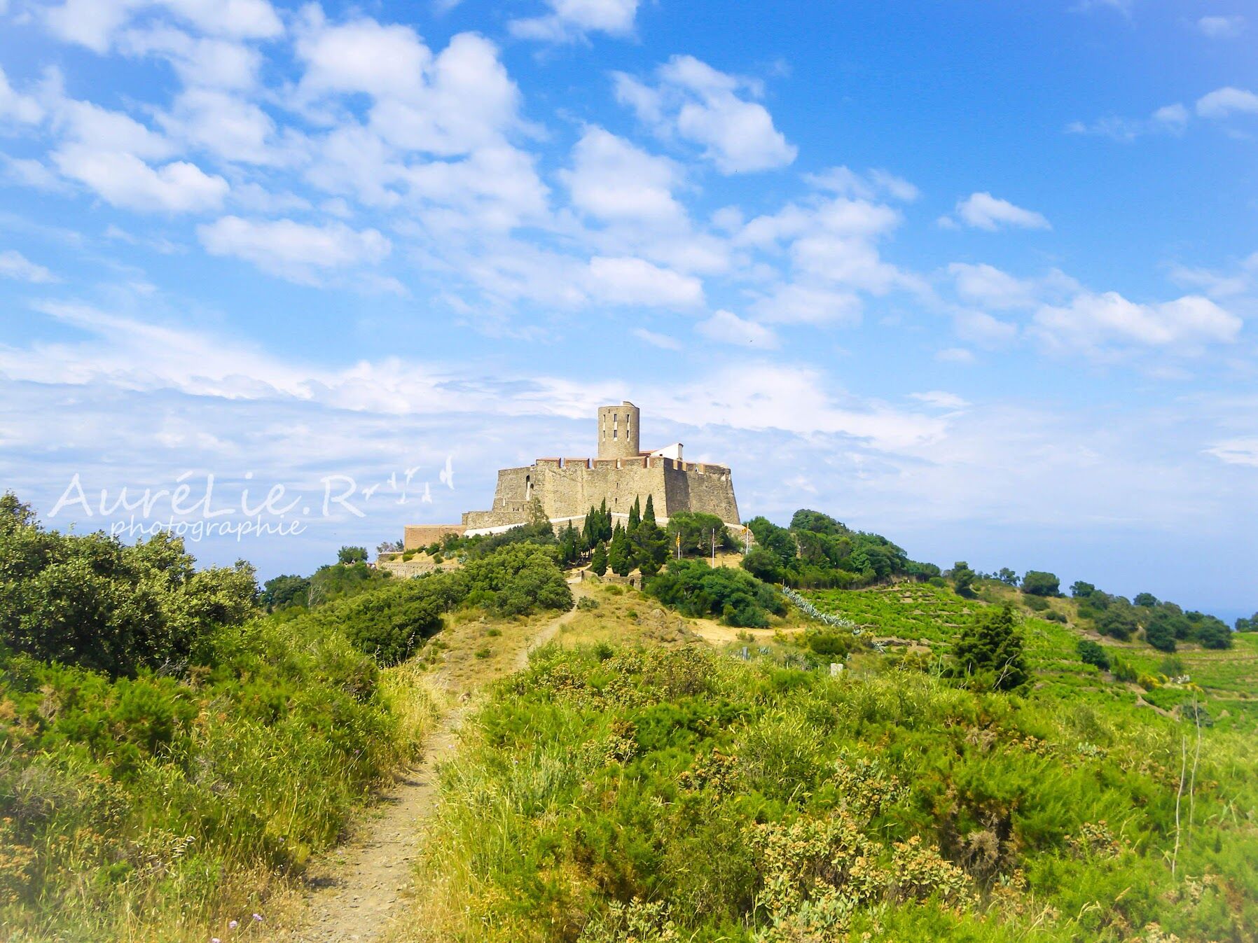
Old Fortifications


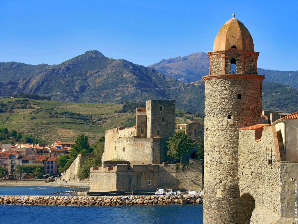
Cette randonnée réservée aux bons marcheurs se déroule au détour des cols sur les hauteurs de Collioure et de Port-Vendres. Les vues sur la côte sont superbes. On y découvre le système défensif de la côte Vermeille.
From the tourist Office, take a right up the steps to get to the Castellane square.
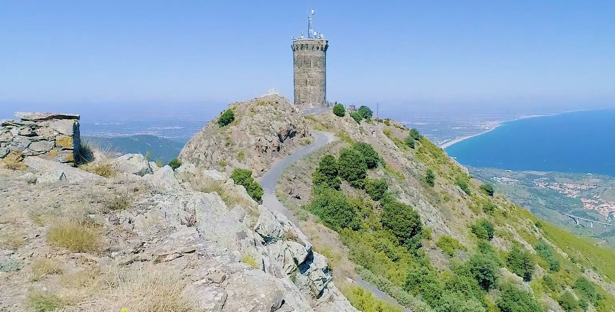
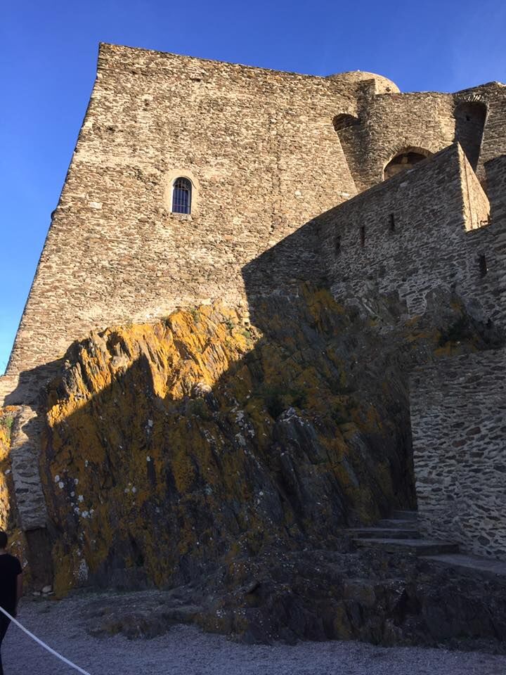
Continue on the alley facing the square that ends with steps. At the end of the latter, turn right onto the road towards Fort Saint-Elme. Continue towards Fort Dugommier by the marked path to the right of the road that overlooks Collioure Bay. After the Coll Raxat, take the DFCI trail towards the Col de Molloy. Follow the steep trail that runs between 2 signs, go towards la Tour de Madeloc. After reaching Taillefer battery, take the trail towards the Madeloc tower. At the foot of the tower, go down by the tarmacked path to the 500 battery. After a few laces on the road, take the sloping path in the middle of the garrigue towards the Fort de la Galline and the hamlet of Cosprons. From the Fort de la Galline, go down to the hamlet of Cosprons to reach the water tower, starting point of the mule path and pass the dam. Go down the road that crosses the subdivision of Love’s Bridge. Go over the roundabout on the RN 114, follow the railway tracks and then cross through the underpass near the Mas França. Finally, pass the train station and the Castellane square, you’re back to the tourist Office.
D 914
Retrouver toutes les lignes du bus à 1€ en cliquant ici
Castellane square carpark
You enjoy nature, you like it, take care of it...
Along the hiking trail, rubbish bins are at your disposal.
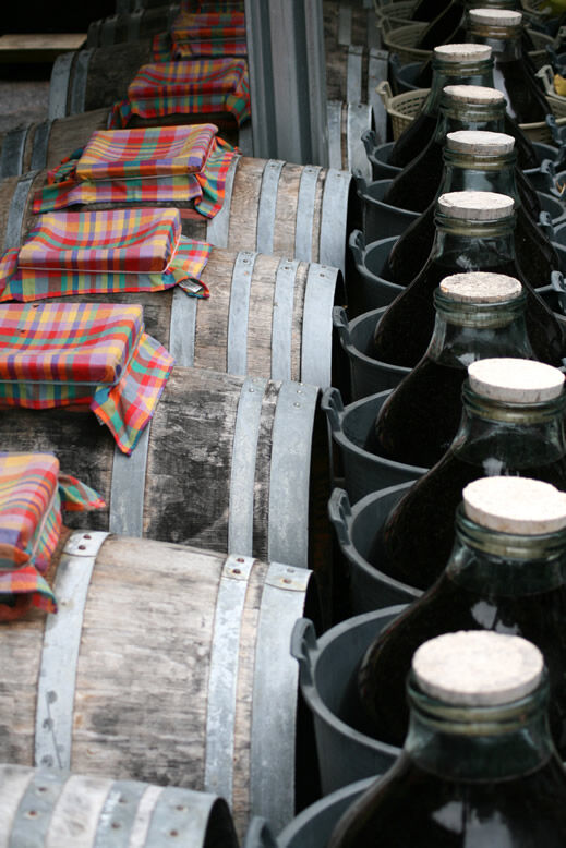
Every month over tens of thousands of hikers and walkers visit this exceptional site. Please do not litter and use the rubbish bins (glass, plastic, rubbish etc...). Also, please dispose of any litter you might find along the trail.
Help keep this site clean with simple yet essential gestures. Lets give back to nature what nature gave us.
Obľúbené výlety v okolí
-
Hauts des Forts Trail (Long Version)
strednáTrailrunning 21,8 km -
[Connection] Elne-Argelès-sur-Mer
strednáCestný bicykel 12,3 km -
Rallye-enquête : Le linteau millénaire de Saint-Genis-des-Fontaines
strednáCestný bicykel 28,6 km -
Madeloc
strednáTuristika 8,83 km -
GR10 Pyrenäenweg Etappe 55
strednádiaľková pešia trasa 23,2 km -
Catalan Getaway in the Pyrenees Mediterranean
strednáCestný bicykel 62,4 km -
[Stroll] "the balconies" of Cosprons
svetloMountainbike 6,77 km -
From Lavail to Valmy via the Tour de la Massane
strednáTuristika 10,3 km -
"La Retirada" and the paths of exile
strednáTuristika 5,26 km -
orienteering course of Laroque-des-Albères
svetloTrailrunning 3,71 km
Turistika a stopovanie


Nenechajte si ujsť ponuky a inšpiráciu na ďalšiu dovolenku
Vaša e-mailová adresa bol pridaný do poštového zoznamu.