Mountain route over Sellamatt - Gluris - Hinterrugg to Chäserrugg
stredná
Turistika 5,0
Navigácia na stránke
Získajte túto prehliadku v mobilnom telefóne
Mapa
Mountain route over Sellamatt - Gluris - Hinterrugg to Chäserrugg
stredná
Turistika
5,90 km
Naskenujte kód QR a spustite navigáciu v aplikácii bergfex
QR Code
Turistika a stopovanie

Mountain route over Sellamatt - Gluris - Hinterrugg to Chäserrugg

Vzdialenosť
5,90 km
Trvanie
03:25 h
Ascent
884 hm
Hladina mora
1 387 - 2 299 m

Úroveň náročnosti: T3

Stiahnutie skladby
Mapa
Mountain route over Sellamatt - Gluris - Hinterrugg to Chäserrugg
stredná
Turistika
5,90 km

The hike begins on the high plateau of Alp Sellamatt, flanked by the seven Churfirsten. Access is via the chairlift/gondola from Alt St. Johann. Through the forest, over wide alpine meadows and karst landscape,...


Opis

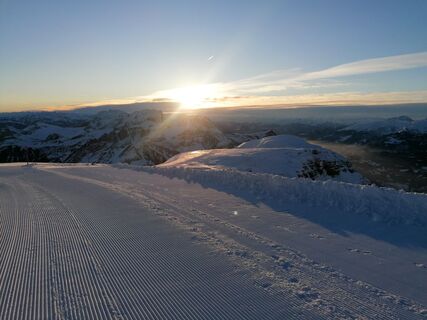
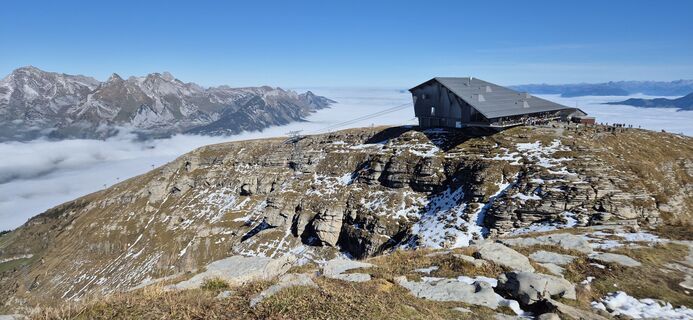
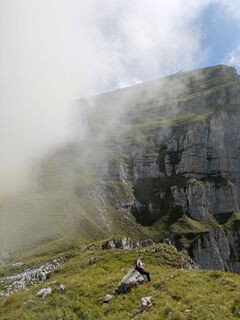
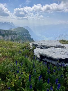
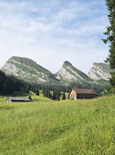
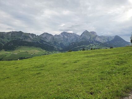
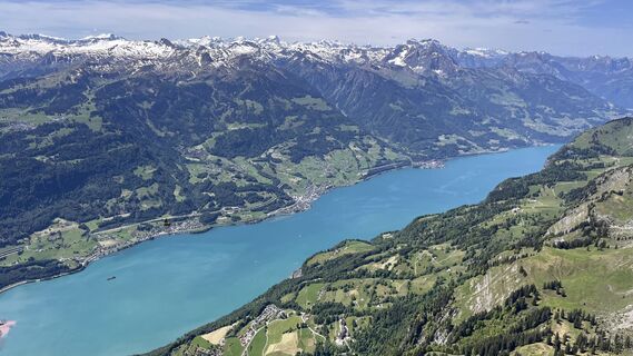
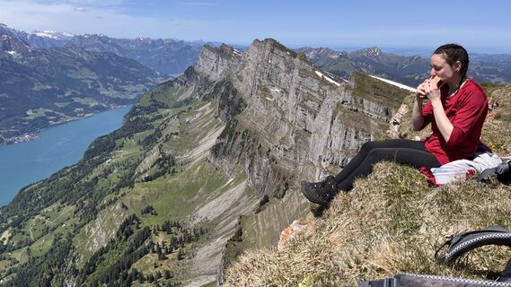
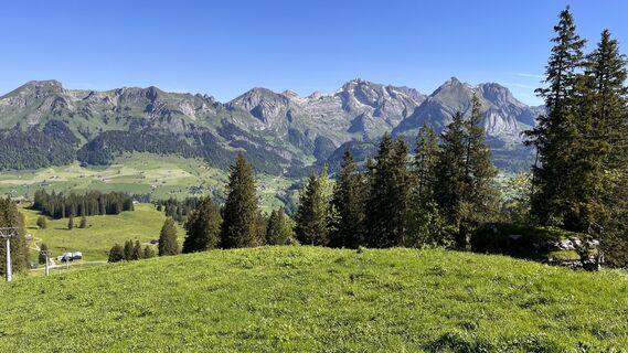
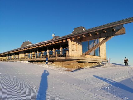
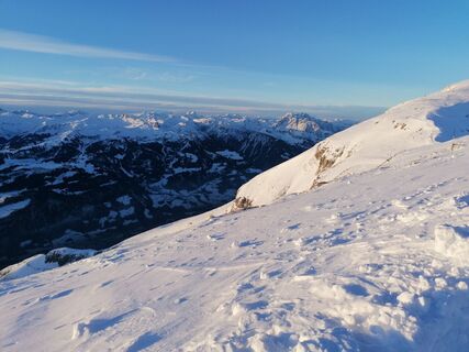
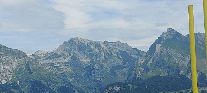
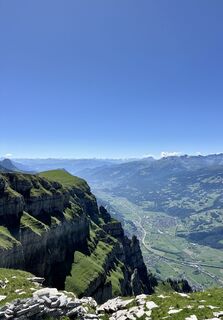
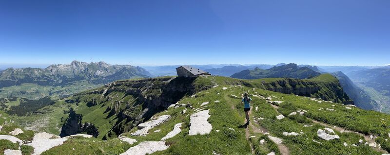
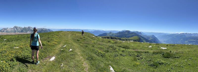
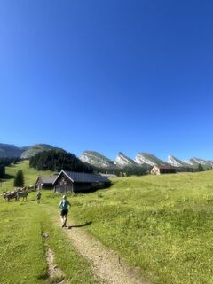
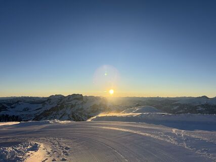
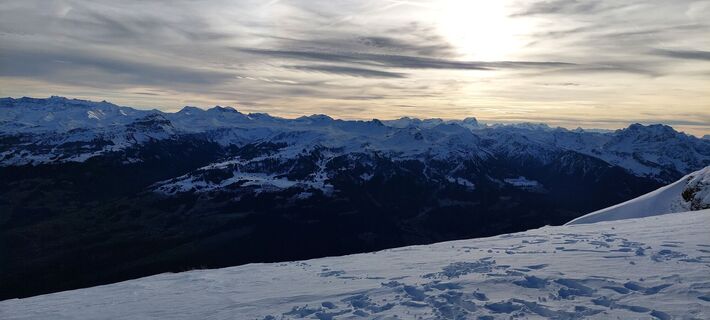
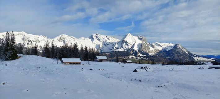
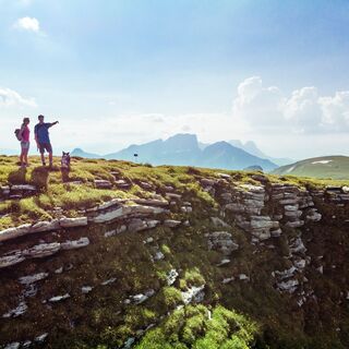
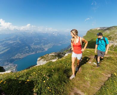
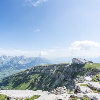
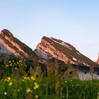
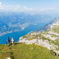
The hike begins on the high plateau of Alp Sellamatt, flanked by the seven Churfirsten. Access is via the chairlift/gondola from Alt St. Johann. Through the forest, over wide alpine meadows and karst landscape, the path leads up into the Gluristal. The area between the Schibenstoll and the Hinderrugg is known for its diverse floral display. At the back of the Gluristal, a mountain trail with some zigzags climbs the steep slope up to the highest of the seven Churfirsten, the Hinterrugg. At 2306 m above sea level, it towers over the Thur valley and Lake Walen. The steep ascent is rewarded with an impressive view. Over the connecting ridge, it continues to the Chäserrugg, which can be reached in just a few minutes. The summit restaurant by Herzog & de Meuron invites you to a pleasant rest while your gaze wanders across 6 countries and over 500 peaks.

Trasa
Berggasthaus Sellamatt
(1 389 m)
Reštaurácia
0,0 km
Alp Gluris
(1 692 m)
Koridor/terén
2,4 km
Hinterrugg
(2 306 m)
Summit
5,2 km
Chäserrugg
(2 262 m)
Summit
5,9 km
Trasa
Mapa
Mountain route over Sellamatt - Gluris - Hinterrugg to Chäserrugg
stredná
Turistika
5,90 km
Berggasthaus Sellamatt
(1 389 m)
Reštaurácia
0,0 km
Sellamatt (Alt St.Johann)
(1 395 m)
Stanica gondoly
0,0 km
Sellamatt (Zinggen)
(1 395 m)
Stanica gondoly
0,1 km
Alp Sellamatt
(1 435 m)
Stanica gondoly
0,8 km
Alp Gluris
(1 692 m)
Koridor/terén
2,4 km
Panorama
(1 697 m)
Uhol pohľadu
2,5 km
Hinterrugg
(2 306 m)
Summit
5,2 km
Chäserrugg
(2 262 m)
Summit
5,9 km
Gipfelrestaurant Chäserrugg
(2 255 m)
Reštaurácia
5,9 km
Opis

Excursion through the idyllic Gluristal up to the highest of the seven Churfirsten in the Toggenburg holiday region. 

Technológia
3 / 6
Stav
4 / 6
Krajina
6 / 6
Skúsenosti
4 / 6
Najlepšie ročné obdobie
Jan
Feb
Mar
Apr
Máj
Jún
Júl
Aug
Sep
Okt
Nov
Dec
Zdieľať prehliadku
Mapa
Mountain route over Sellamatt - Gluris - Hinterrugg to Chäserrugg
stredná
Turistika
5,90 km
Chyba
Vyskytla sa chyba. Prosím, skúste to znova.
Informácie o trase
Trasa

Sellamatt - Zinggen - Ruestel - Gluris - Gluristal - Hinterrugg - Chäserrugg

Prehliadka vrcholu

Áno

Gondola/kára

Áno

Zariadenie

Day hiking backpack (approx. 20 liters) with rain cover, sturdy and comfortable footwear, weather-appropriate and durable clothing in layers, telescopic poles, sun and rain protection, provisions and drinking water, first aid kit, pocket knife, mobile phone, map material

Bezpečnostné pokyny

Parts of the route require surefootedness and can be slippery depending on conditions. 

Informácie o príchode
Verejná doprava

By train to Nesslau Neu St. Johann station and further by bus to Alt St. Johann village.

From the Rhine Valley by train to Buchs station and then by bus to Alt St. Johann village.

Parkovanie

Parking spaces are available at the Alt St. Johann valley station.

Ďalšie informácie a tipy
Úroveň náročnosti

T3

Ďalšie informácie

Toggenburg Tourism
Hauptstrasse 104
CH-9658 Wildhaus
Tel: +41 (0)71 999 99 11
E-mail: info@toggenburg.swiss
Website: www.toggenburg.swiss

Operating hours of Bergbahnen Toggenburg AG

Tel: +41 71 998 68 10
E-mail: info@chaeserrugg.ch
Website:

Tipy

The chance to observe wild animals is high. Therefore, binoculars belong in the backpack. 

Oceňovanie
5,0
5
(1)
4
(0)
3
(0)
2
(0)
1
(0)
5
(1)
4
(0)
3
(0)
2
(0)
1
(0)
Napíšte recenziu

Recenzie pomáhajú ostatným používateľom vybrať si ďalšie dobrodružstvo. Prosím, hodnoťte len prehliadku, nie počasie alebo občerstvenie.

Vyberte jednu z hviezdičiek a ohodnoťte prehliadku
Zlé turné
Slabé turné
Priemerné turné
Dobrá prehliadka
Vynikajúca prehliadka
bergfex logo Získajte prehľad Vždy naživo na mieste s viac ako 9 500 webovými kamerami. bergfex Ako používateľ Pro si teraz môžete pozrieť príslušné webové kamery pre mnohé zájazdy v aplikácii zájazdy z. Môžete si tak priamo prezerať aktuálne podmienky.
Turistika a stopovanie

Turistika a stopovanie

Turistika a stopovanie
Viac ako 550.000 návrhov výletov, podrobné mapy a intuitívny plánovač trás robia z aplikácie povinnú výbavu pre všetkých nadšencov prírody.
Turistika a stopovanie