


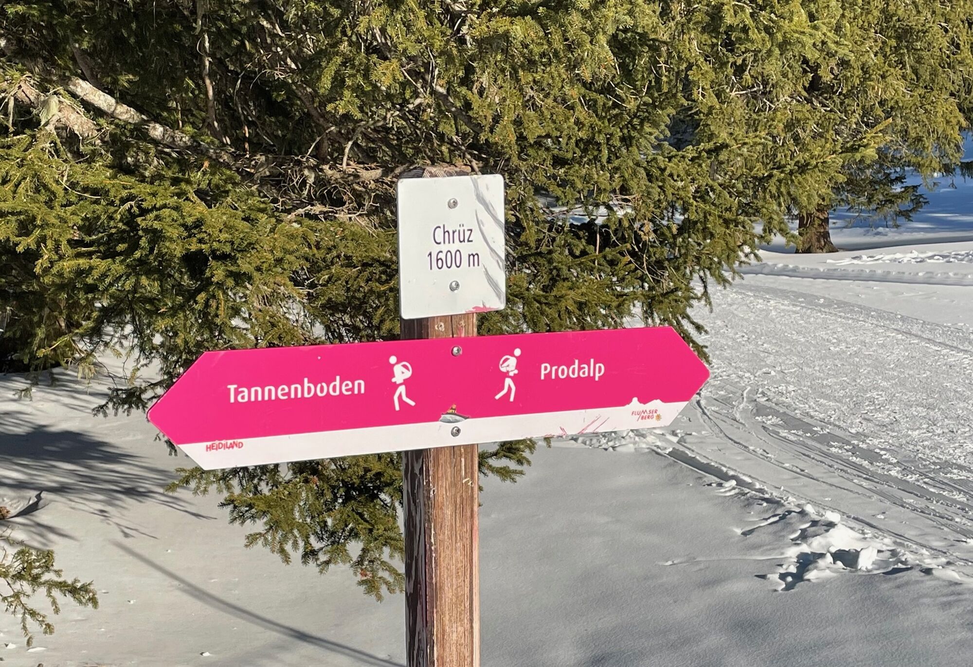
Chrüz - Prodalp
Úroveň náročnosti: 3


This moderately difficult winter hike offers everything that a varied winter hike should include. You reach the starting point Chrüz either on foot or with the Chrüz chairlift from Tannenboden. A short,...
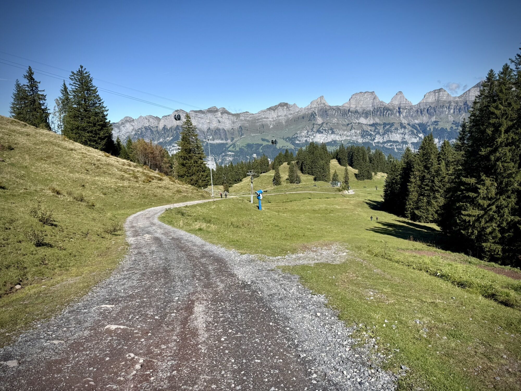
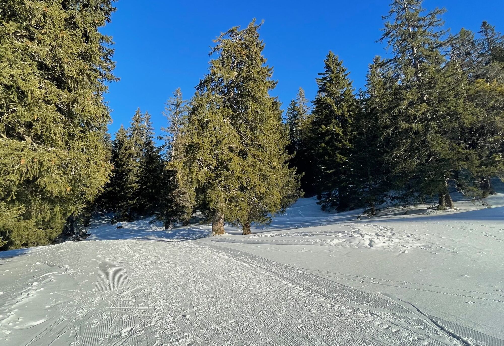
This moderately difficult winter hike offers everything that a varied winter hike should include. You reach the starting point Chrüz either on foot or with the Chrüz chairlift from Tannenboden. A short, sharp climb warms you up, then you enjoy a pleasant walk through snow-covered forest sections towards the destination Prodalp. Along the way, there are repeated views of the surrounding mountain panorama and nearby ski slopes.


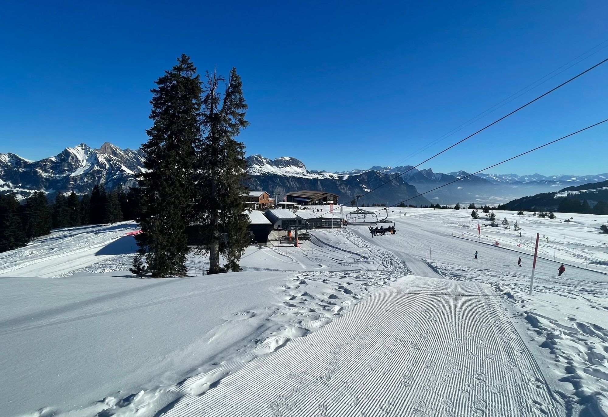
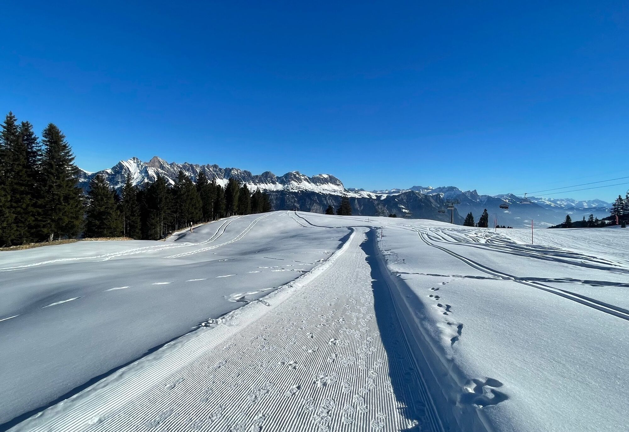
Upon reaching the mountain restaurant, you cross the ski slope. Behind the base station of the Stelli chairlift, there is a short, steep ascent through the sparse forest before the path leads gently downhill with a magnificent view to Prodalp.
Normal winter hiking equipment, sturdy shoes.
Information about the current status of the route can be found in the winter sports report of the Flumserberg cable cars at www.flumserberg.ch.
Take the Flums/Flumserberg motorway exit and follow the main road towards Flumserberg Tannenboden.
Accessible by train and bus.
Take the train to Flums or Sargans, then the Bus 441 towards Flumserberg to the Tannenboden stop.
Public parking is available at Tannenboden.
Parking is charged from 7:00 a.m. to 5:00 p.m. From 5:00 p.m. to 2:00 a.m., parking is free.
From 2:00 a.m. to 7:00 a.m., there is a night parking ban. There are sufficient night parking spaces in the Tannenboden parking garage or at the Tannenheim.
The night parking lot can be used for a fee; however, camping is prohibited.
3
Bergbahnen Flumserberg
Molseralpstrasse 9
8898 Flumserberg
T + 41 81 720 15 15
Heidiland Tourism
Flumserberg Information Point
T +41 81 720 18 18
At the end of the hike, you can enjoy sledding fun down to the Tannenheim and then return for free by post bus to Tannenboden.
Obľúbené výlety v okolí
-
4,7
Riviera Walensee Walenstadt - Quinten
strednáTuristika 10,4 km -
4,6
Riviera Lake Walen Weesen – Quinten
strednáTuristika 10,2 km -
4,5
Weesen - Quinten - Walenstadt
ťažkéTuristika 20,6 km -
4,6
5-Seen Wanderung am Pizol
svetloTuristika 10,1 km -
4,7
Alvier
strednáTuristika 3,33 km -
4,7
Pizol - Batöni - Weisstannen
ťažkéTuristika 11,7 km -
Lake Chapfen round trip
svetloTuristika 4,27 km -
5,0
Schrina Alp and Cultural Trail
strednáTematická trasa 11,5 km -
4,6
4-Summit-Route Flumserberg
strednáTuristika 8,65 km -
4,5
Amden - Speer (Rundkurs)
svetloTuristika 17,6 km
Turistika a stopovanie


Nenechajte si ujsť ponuky a inšpiráciu na ďalšiu dovolenku
Vaša e-mailová adresa bol pridaný do poštového zoznamu.