


GTA: Tappa 30 Rifugio Coda - Alpe Maletto


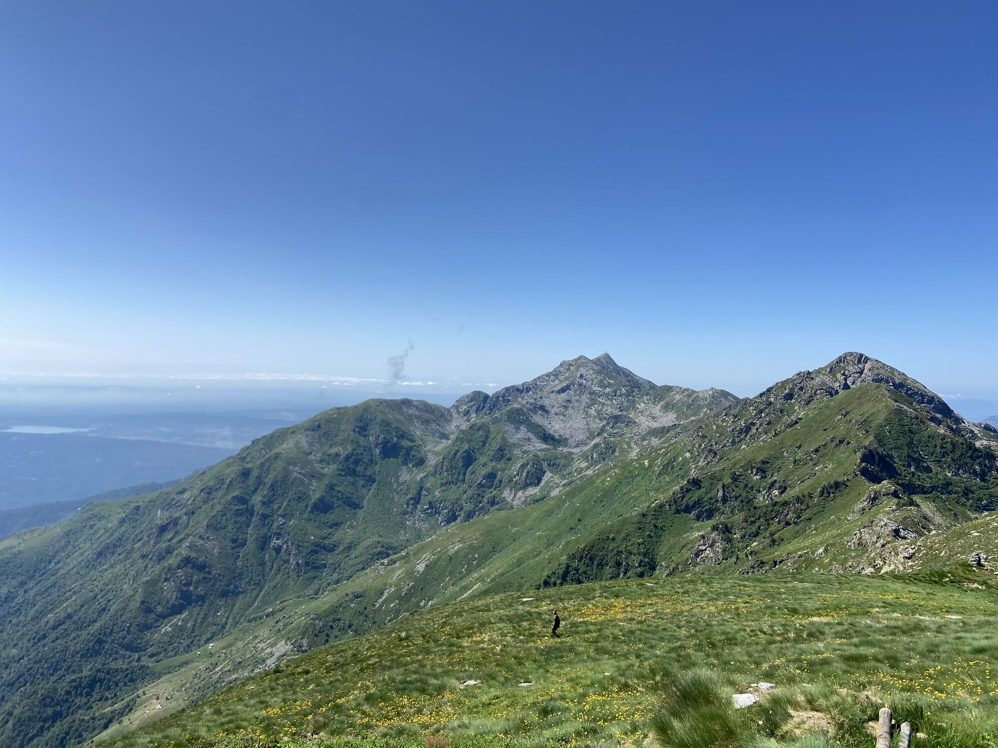
From the Coda Refuge, follow (trail sign C12) the grassy watershed that leads to the Hill of Carisey close to which you leave this trail (from here a long and difficult route on the crest) choosing variant...
From the Coda Refuge, follow (trail sign C12) the grassy watershed that leads to the Hill of Carisey close to which you leave this trail (from here a long and difficult route on the crest) choosing variant C12a that cuts high up the sides of Mt. Roux and Bechit.
Continuing along this trail, you reach Alp Lace del Vittone and the Hill of Lace where you leave the steep pastures of the Elvo Valley. Continue following trail sign 25 of the Aosta Valley (which is part of the Alta Via Valdostana (AVV), n.1) to reach Alp Bechera in the Aosta Valley. The long descent of the Chiussuma valley allows to touch numerous alpine pastures until the arrival to Alp Maletto.

Obľúbené výlety v okolí
-
4,0
CAREMA Vineyard Path
svetloTematická trasa 3,94 km -
IVREA Anello Ivrea - Alice Superiore
strednáDiaľková cyklotrasa 35,0 km -
Da Coumarial al rifugio Barma
strednáTuristika 7,31 km -
Chiaverano - Church of Santo Stefano di Sessano
strednáMountainbike 27,4 km -
MONTALTO DORA Terre Ballerine - In search of Lake Coniglio
svetloTuristika 5,35 km -
4,0
TRAVERSELLA Souls and Transhumance Path
strednáTuristika 10,0 km -
Ancient Balteo Glacier Ring - stage 3
strednáDiaľková cyklotrasa 35,1 km -
BROSSO Monte Cavallaria
strednáTuristika 8,76 km -
IVREA Loop Ivrea - Carema
strednáDiaľková cyklotrasa 38,2 km -
IVREA Ivrea Morainic Ridge ring
strednáDiaľková cyklotrasa 50,6 km
Turistika a stopovanie


Nenechajte si ujsť ponuky a inšpiráciu na ďalšiu dovolenku
Vaša e-mailová adresa bol pridaný do poštového zoznamu.