


Monferrato degli Infernot: Stage 2


From the car park of the hamlet of Moleto, cross the centre and after 300 m of paved road take the grassy trail downhill for approximately 1200 m, then take the paved road for a short section until you...
From the car park of the hamlet of Moleto, cross the centre and after 300 m of paved road take the grassy trail downhill for approximately 1200 m, then take the paved road for a short section until you reach Cascina Magrina. Turn left onto the dirt road and continue on the slope to reach the Chapel of S. Pietro, then left on the dirt road continuing on the ridge until provincial road SP37. Cross SP37 and take the dirt road in front, continuing downhill for 500 m. Resume the paved road in the direction of Sala Monferrato as far as the cemetery. Leave the cemetery to your left and cross the centre of Sala following via Roma and via Olearo. Then continue on provincial road SP 35a in the direction of Ozzano Monferrato for 2500 m until the junction of Cascina Costa. Here you leave the SP (provincial road), take the dirt trail to the right, then continue for 1250 m on the valley bottom parallel to the Rio Lora as far as the large fountain. Here, you resume the paved road to the right, provincial road SP34 or ducal road, which climbs under the town of Treville until you take via Mazzucco on the right. Reach Cascina Rapetta and turn left towards the centre of Ozzano. From piazza Vittorio Veneto, take the provincial road in the opposite direction to that already travelled as far as the junction and turn left on the road on the ridge in the direction of Cellamonte to reach Cascina Imarisia. Cross the entire town as far as the junction in the area of Cascina San Rocco.

From the car park in the hamlet of Moleto, cross the town center and after about 300 m of asphalt road take the grassy path downhill which you follow for about 1200 m, then take the asphalt road for a short stretch until you reach Cascina Magrina , turn left onto the dirt road and continue along Costa until you reach the small chapel of S. Pietro and turn left onto the dirt road continuing along the crest up to the SP37. Cross the SP37 and take the dirt path in front, continuing downhill for 500 m then take the asphalt road again in the direction of Sala Monferrato up to the cemetery. Leave the cemetery on your left and cross the town center of Sala along via Roma and via Olearo. Then continue on SP 35a in the direction of Ozzano Monferrato for 2500 m until the Cascina Costa crossroads. Here you leave the SP and take the dirt path on the right, then continue for 1250 m on the valley floor parallel to the Rio Lora up to the large fountain. Here you take the asphalt road on the right, SP 34 or strada ducale, which goes up under the town of Treville until you reach via Mazzucco on the right. You reach Cascina Rapetta and turn left towards the town of Ozzano. From Piazza Vittorio Veneto, retrace the provincial road already traveled in the opposite direction up to the crossroads and turn left on the road on the crest towards Cellamonte until you reach the Imarisia farmhouse, then cross the entire town until the crossroads in C.na. San Rocco.
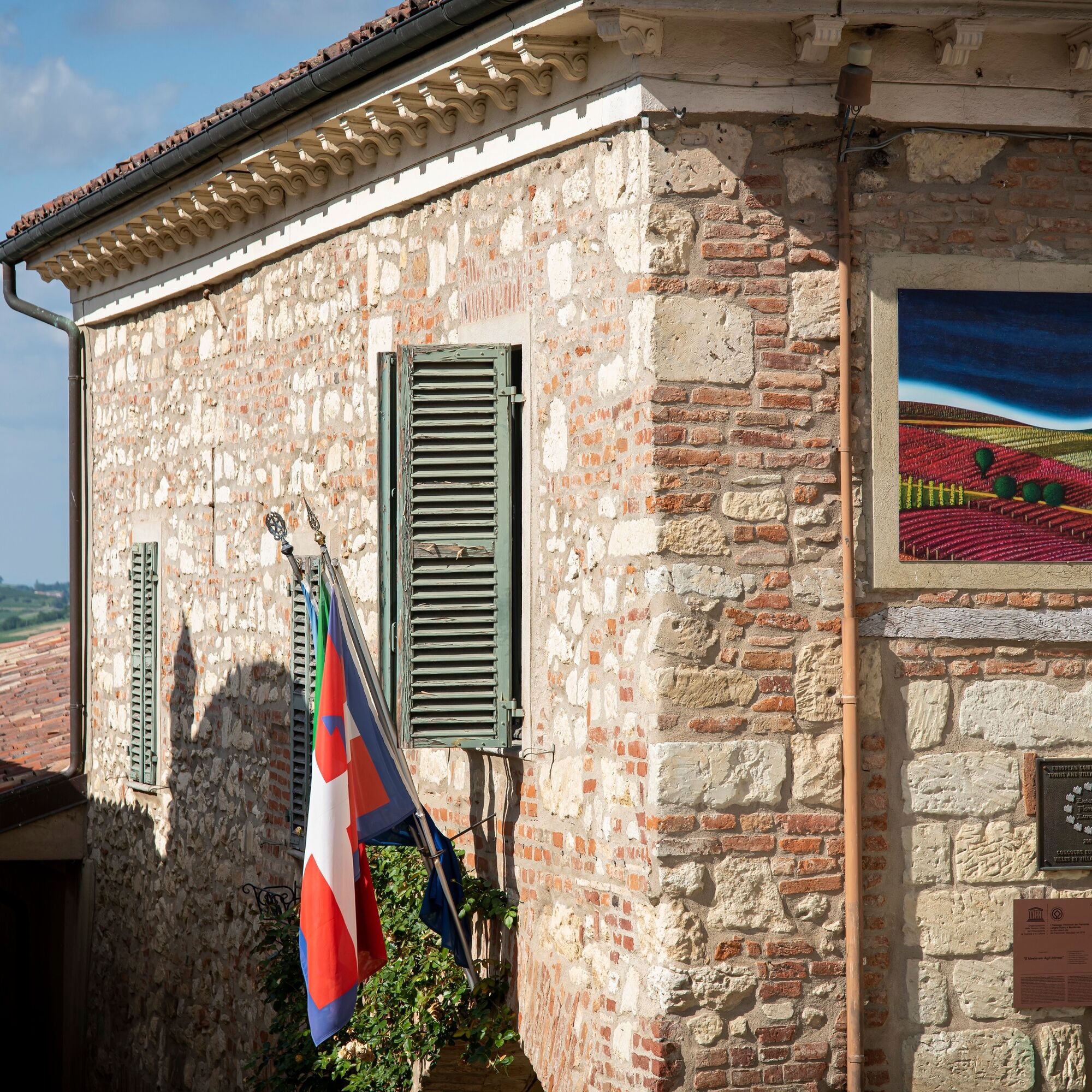
Along the stage: Chapel of San Pietro. In Sala: Parish Church of San Giacomo (late 16th century), Church of San Francesco, Church of San Grato (1684). In Cella Monte: Parish Church (1619), Ecomuseum of Cantoni Stone, Romanesque Church of San Quirico.
Obľúbené výlety v okolí
-
Sentiero "Vigneti e Infernot" - Sentiero 726 in mountain bike
Mountainbike 14,1 km -
Sentiero "Vigneti e Infernot" - Sentiero 726 in camminata
Pútnická trasa 14,1 km -
Sentiero panorami e ciminiere di Ozzano - Sentiero 738 in mountain bike
Mountainbike 7,20 km -
Sentiero panorami e ciminiere di Ozzano - Sentiero 738 in camminata
Pútnická trasa 7,20 km -
Sentiero le Vecchie Fonti - Sentiero 860 in mountain bike
Mountainbike 14,4 km -
Sentiero le Vecchie Fonti - Sentiero 860 in camminata
Pútnická trasa 14,4 km -
Sentieri i colli pietrosi - Sentieri 737 in mountain bike
Mountainbike 6,52 km -
Sentiero Pieve di San Giovanni - Santuario di Crea - Sentiero 727 in mountain bike
Mountainbike 27,3 km -
Sentiero 700 - SVC Tratto Crea - Casale in mountain bike
Mountainbike 25,2 km -
Sentiero 700 - SVC Tratto Crea - Casale in camminata
Pútnická trasa 25,2 km
Turistika a stopovanie


Nenechajte si ujsť ponuky a inšpiráciu na ďalšiu dovolenku
Vaša e-mailová adresa bol pridaný do poštového zoznamu.