


Joy of riding, the best parts of Joensuu region routes 184 km
Úroveň náročnosti: S2


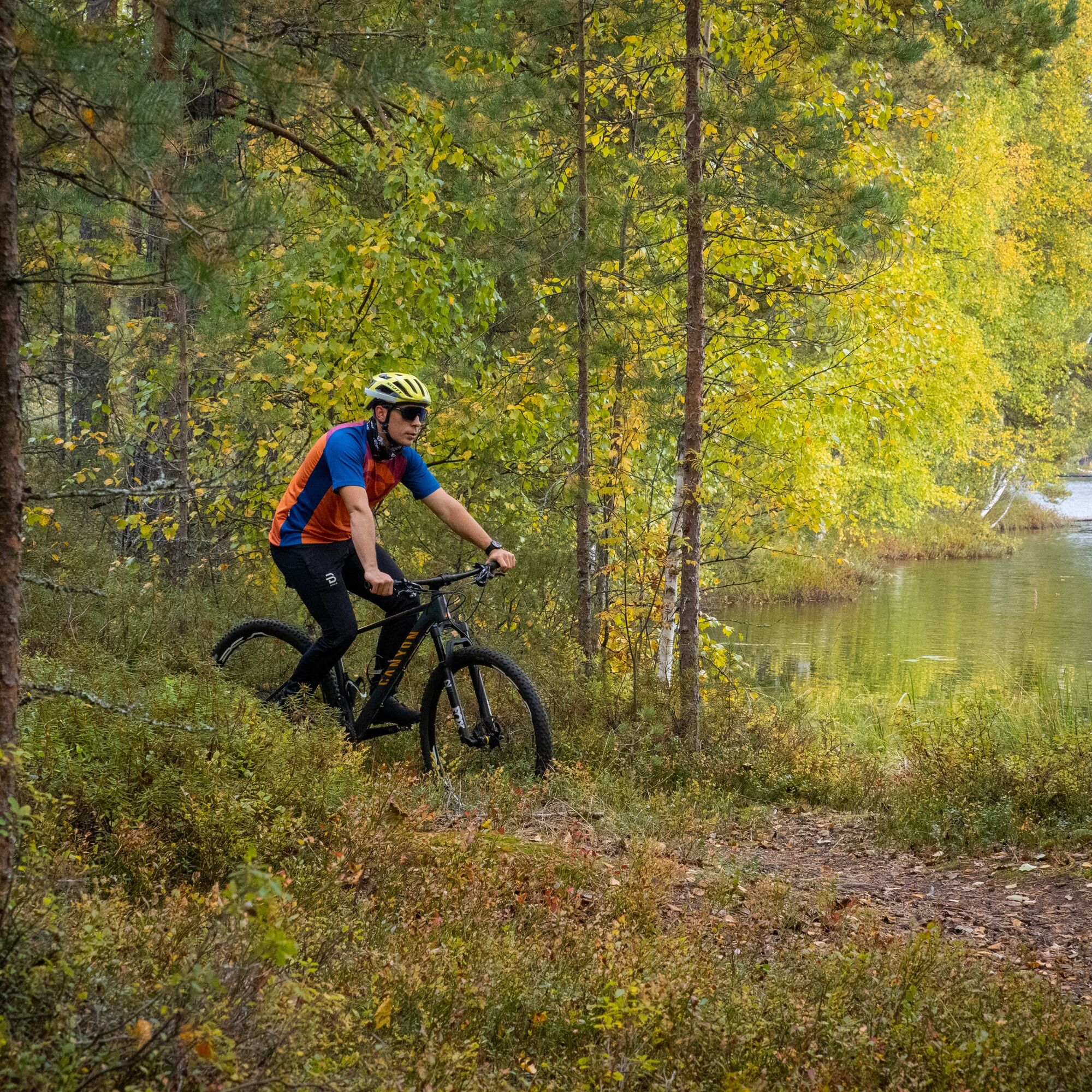
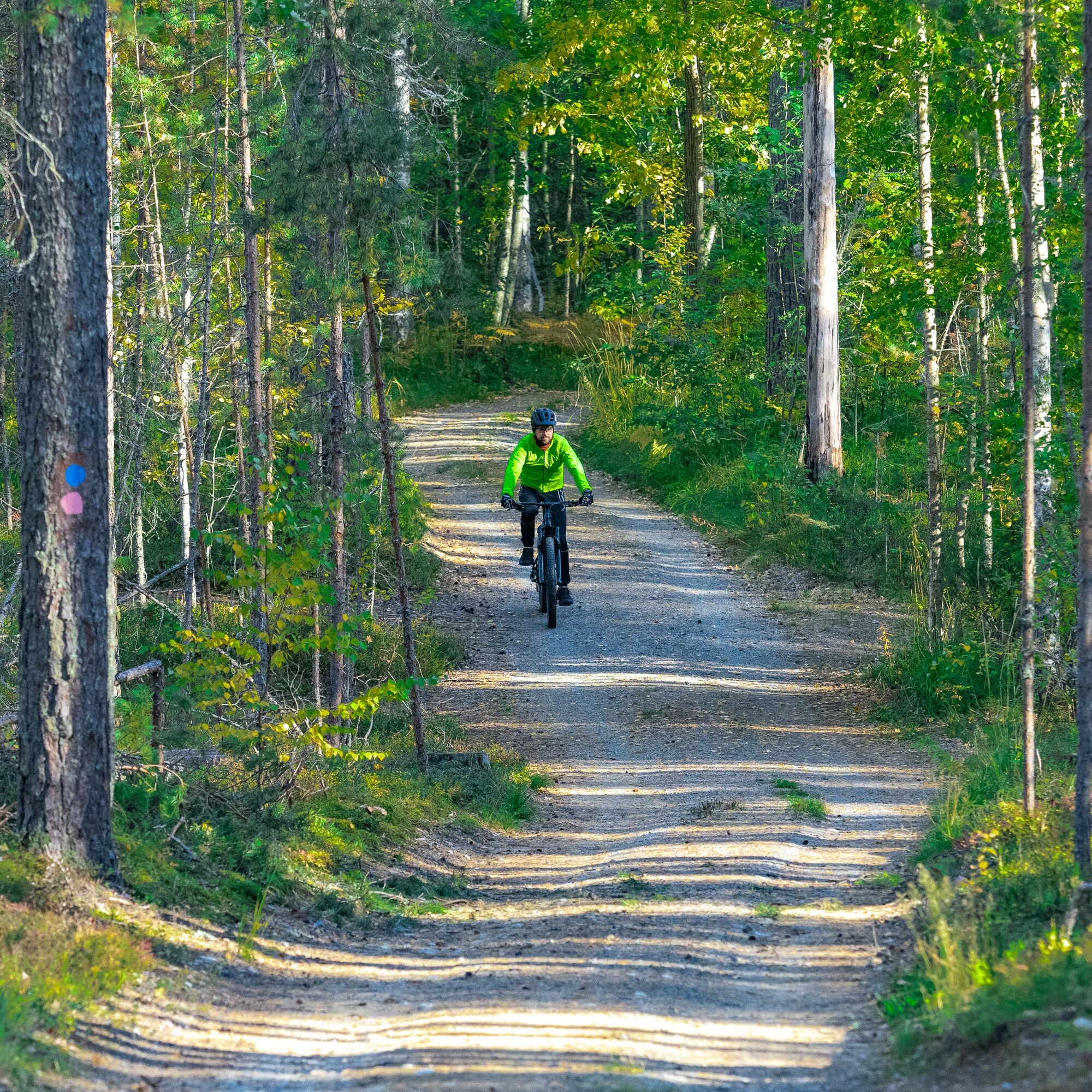
Joensuun seudun polut is an approximately 200 km long uniformly marked route network. This route tip gathers the best parts into a 184 km riding experience! The routes are designed from a mountain biker's...
Joensuun seudun polut is an approximately 200 km long uniformly marked route network. This route tip gathers the best parts into a 184 km riding experience! The routes are designed from a mountain biker's perspective and are therefore a "must" destination for every mountain biker.
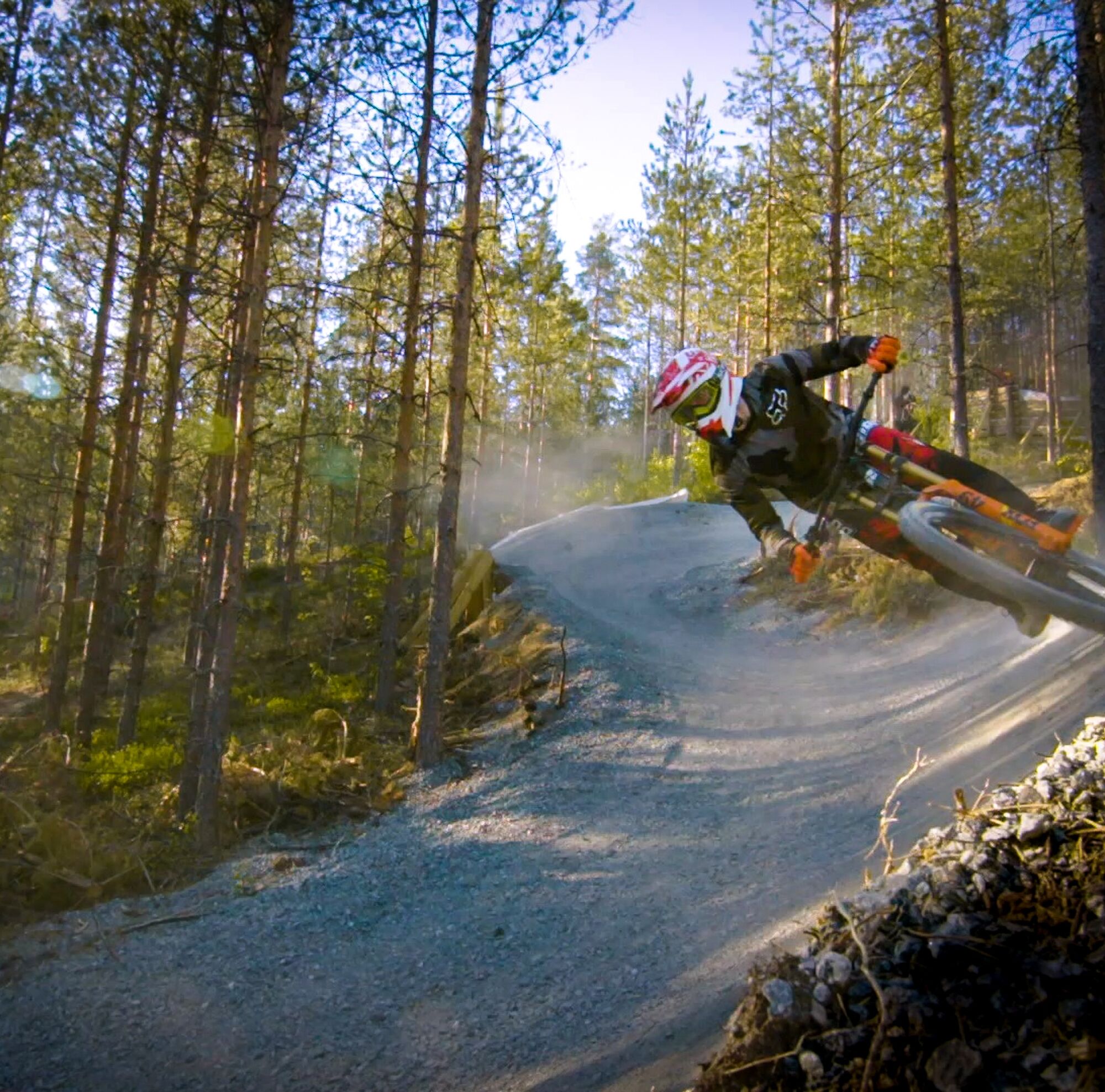
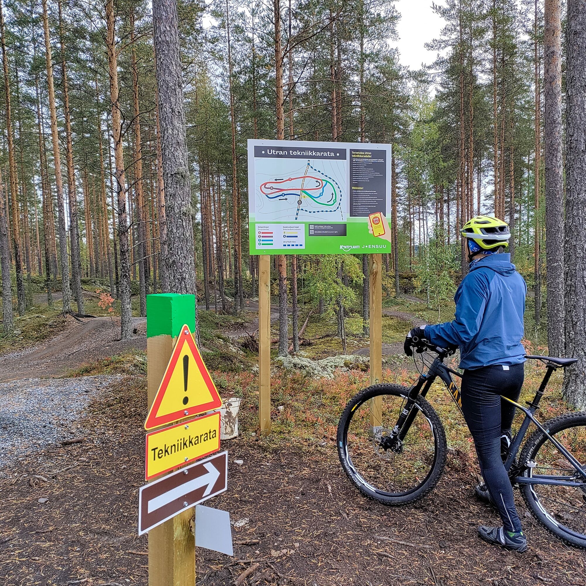
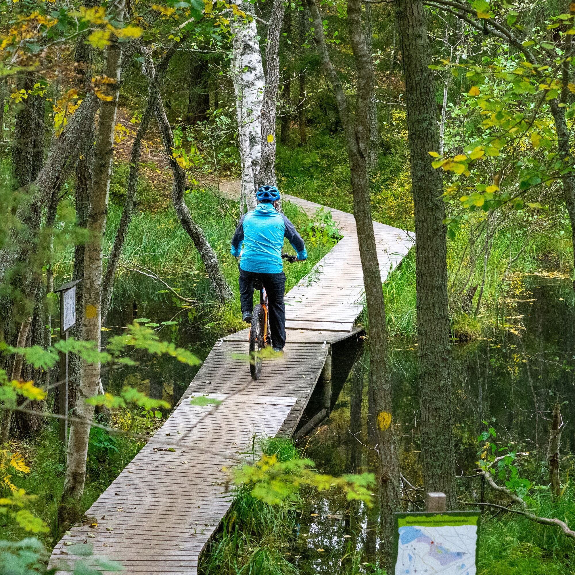
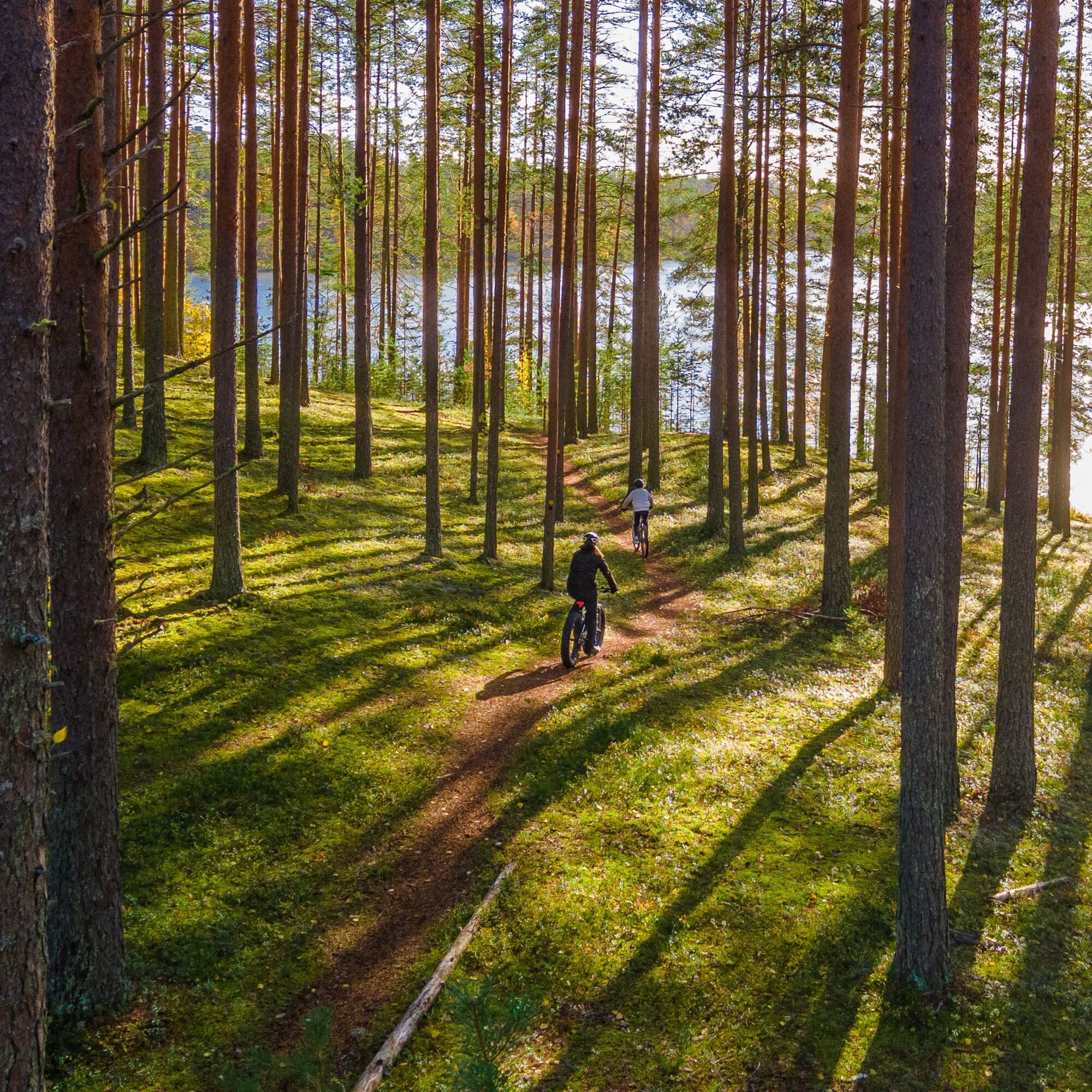
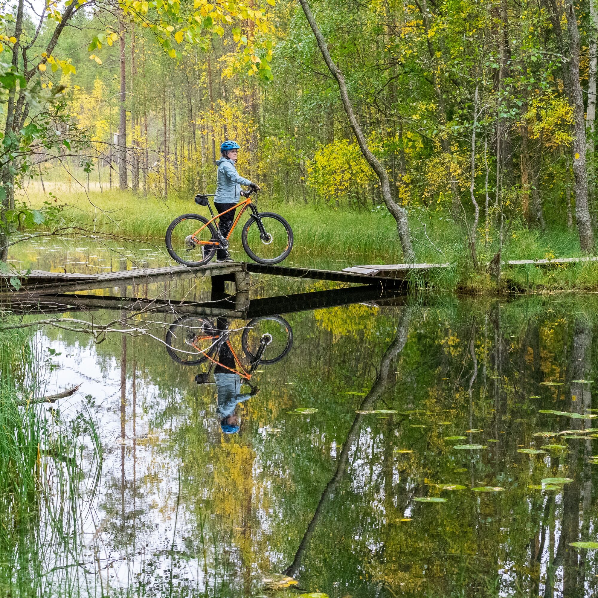
Highlights of this route tip include narrow trails in pine forests, Pärnä Bike Park downhill routes, good restaurant services along the routes, Utra mountain biking technical track, and great resting places. Although Joensuun seudun polut is well signposted, downloading the gpx to your navigation device is recommended for smooth navigation, as the route goes through over 20 marked routes in the terrain, changing guidance colors several times.
The recommended start and end point of the route is the Lykynlampi outdoor center, which also has showers and toilets, but you can choose any place along the route as a starting point if you prefer.
Also check the route map to get an idea of how large the whole is
JOENSUUN SEUDUN POLUT (MAP)
This route tip is provided by:
City of Joensuu, Municipality of Liperi, Lipertek and Municipality of Kontiolahti

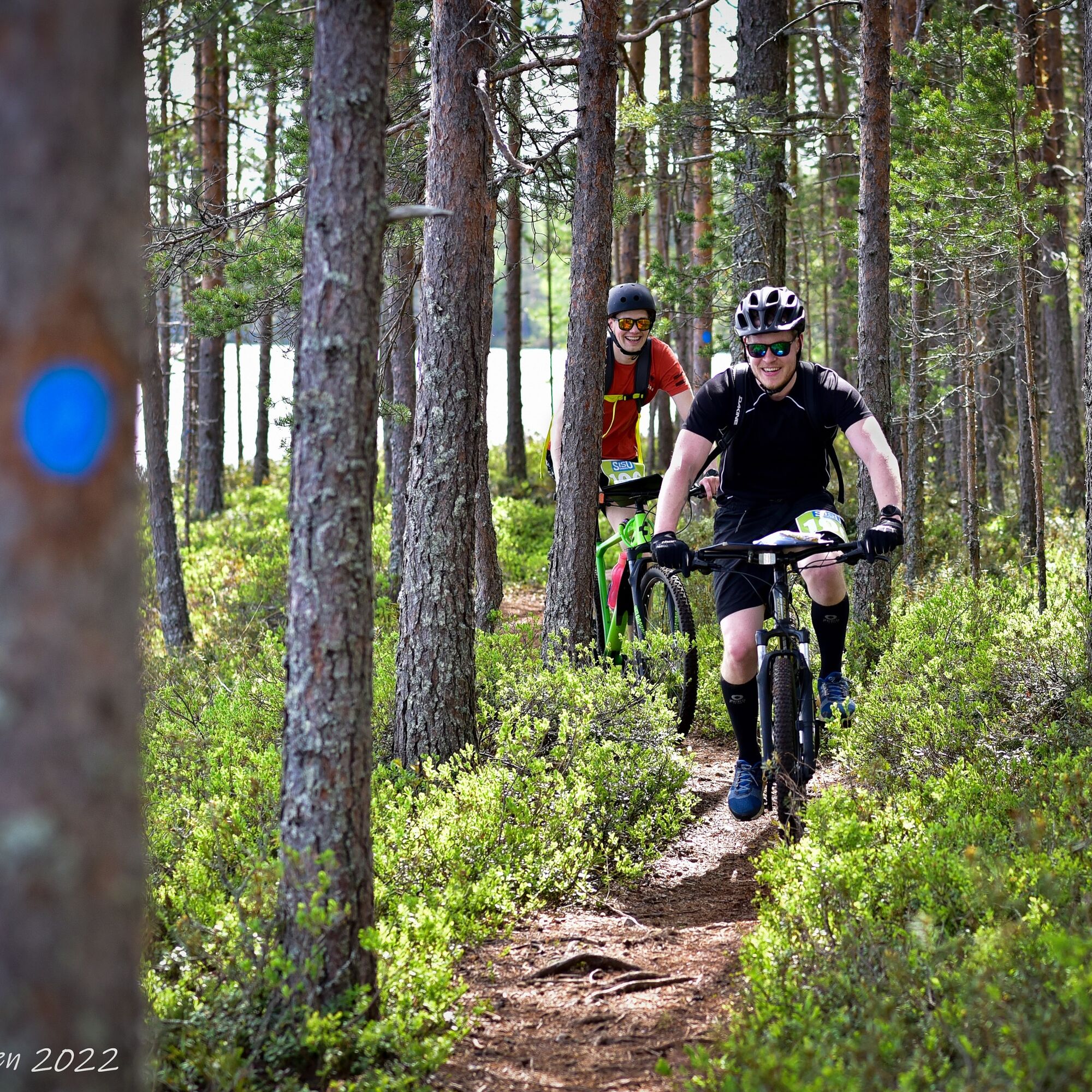
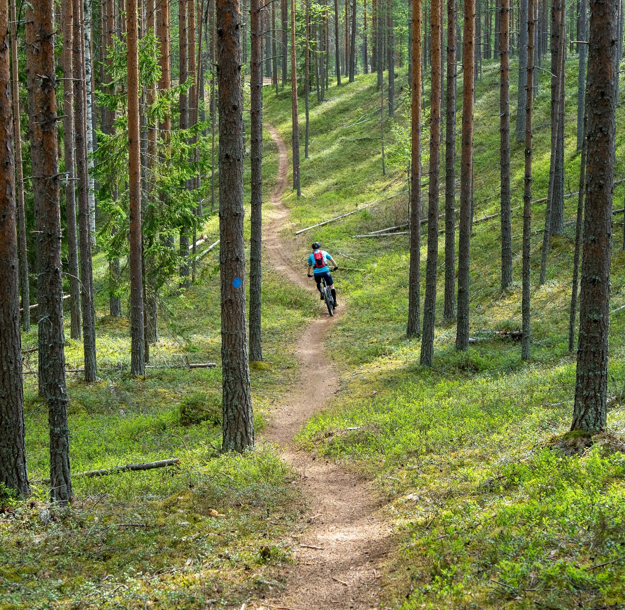
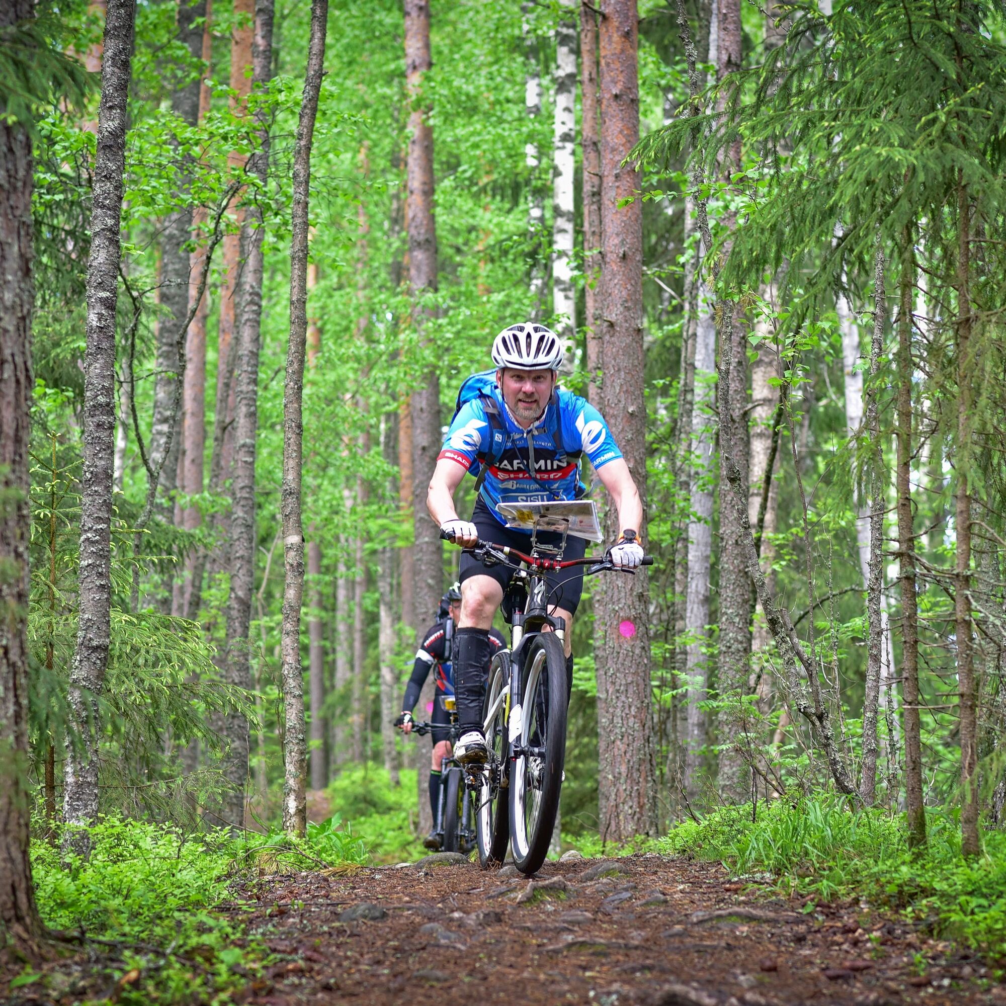
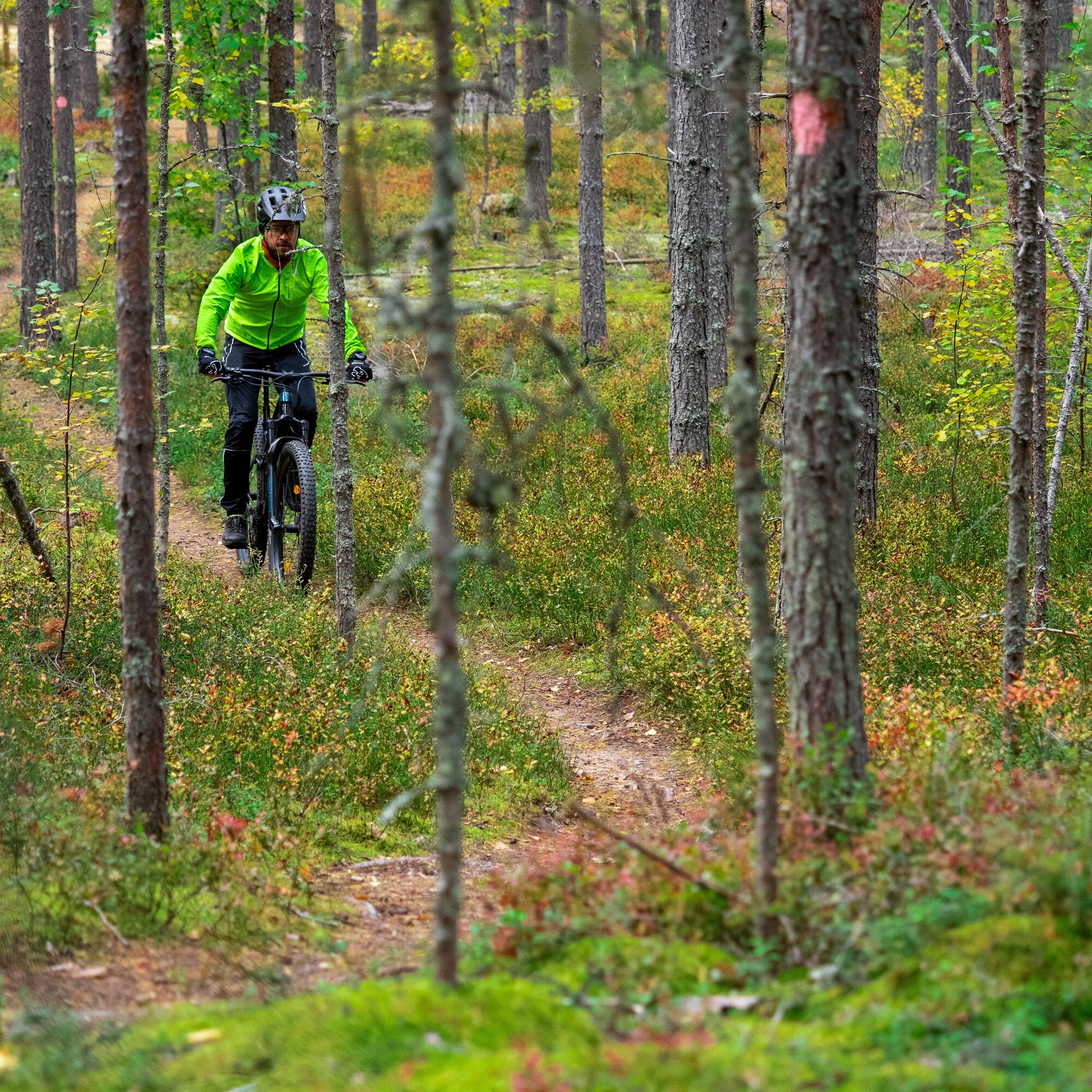
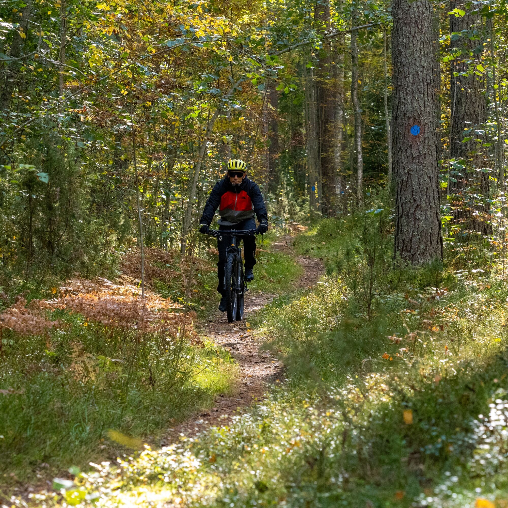
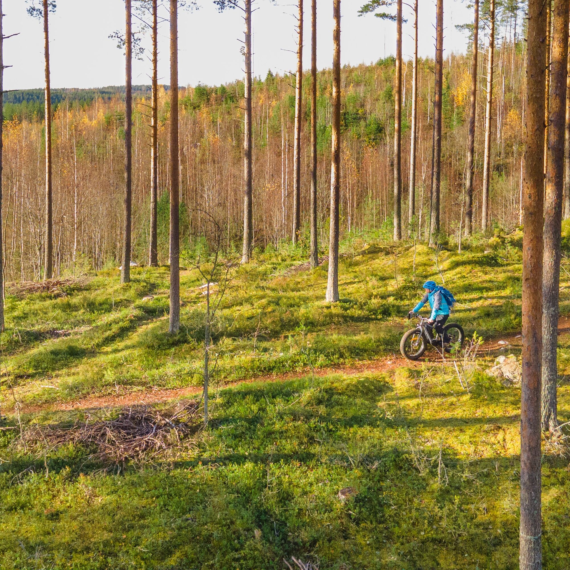
This route tip consists of over 20 differently colored marked routes, which are generally well marked on the ground. On some road sections, the guidance is a bit sparse, so a navigation device + gpx is recommended.
Áno
Weather-appropriate clothing and equipment
Sufficient drinking and snacks or find out beforehand about open restaurants
Tools according to the length of the riding day (e.g. multitool, tire repair kit, inner tube)
Stones and roots are slippery in rainy weather.
Small first aid kit
112 emergency app
Lykynlampi is easily accessible by bike, car, bus, and plane. By car, drive from Joensuu along Kuopio road (Highway 9) about 5 km and turn towards Onttola at the grade-separated interchange (Lykynlampi signs). Follow Onttolantie about 5 km, then turn right following the Lykynlampi signs. The airport is only 3 km from Lykynlampi.
The recommended starting point for the route is the Lykynlampi outdoor center. The route can also be started, for example, from the center of Joensuu.
There is regular bus service to Lykynlampi. From the bus turning point, it is about 100 m to the front of the Lykynlampi outdoor lodge.
Lykynlampi address: Onttolantie 94, Kontiolahti.
Check schedules https://jojo.joensuu.fi/.
There is plenty of free parking space next to the Lykynlampi outdoor lodge.
S2
Pärnä Bike Park downhill routes
Good restaurant services along the routes! Check which suits you in advance.
Utra mountain biking technical track
Good signposts, but navigation device + gpx recommended
Obľúbené výlety v okolí
-
Liperin Kinttupolut (helpoimmat polut Kaprakasta käsin)
svetloMountainbike 28,2 km -
Surmilampi Trail, Liperin Kinttupolut
strednáTrailrunning 6,55 km -
Jaama Trail, easy circular route around Joensuu
svetloMountainbike 59,4 km -
Kontioniemi Trail
strednáTuristika 8,98 km -
The best parts of Kontionpolku
strednáMountainbike 40,8 km -
Kuhasalo accessible route
svetloTuristika 3,36 km -
The best bits of the Harjupolut route
svetloMountainbike 21,2 km -
The best trails in the Lykynpaths route at Lykynlampi
svetloMountainbike 15,4 km -
From Joensuu's Jokiasema to Lykynlamm
svetloMountainbike 42,5 km -
Unique Harjupolkuje mountain biking trail
strednáMountainbike 20,2 km
Turistika a stopovanie


Nenechajte si ujsť ponuky a inšpiráciu na ďalšiu dovolenku
Vaša e-mailová adresa bol pridaný do poštového zoznamu.