


The best parts of Kontionpolku
Úroveň náročnosti: S1


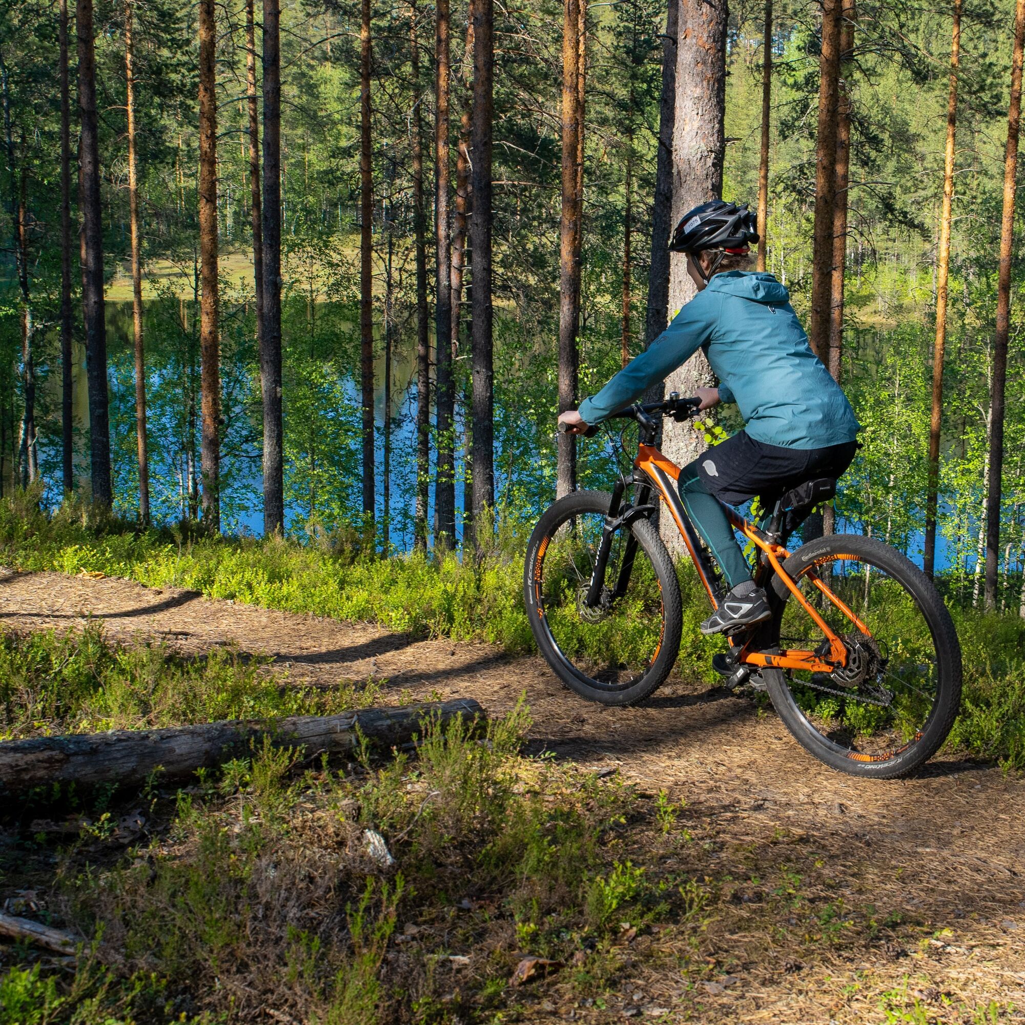
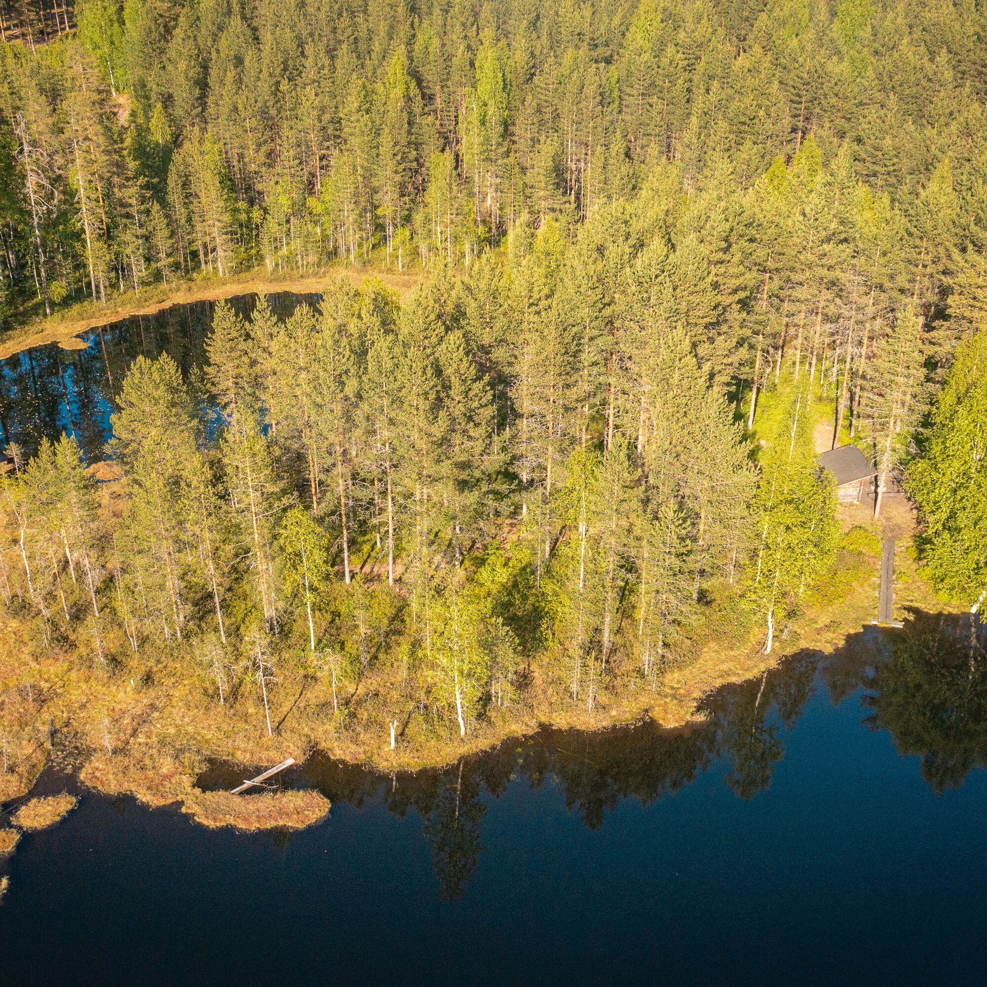
The route tip running through the spruce land of Jaamankangas and the shores of Höytiäinen is entirely part of the Kontionpolku trail system. The dramatic shores and views of Lake Höytiäinen open up in...
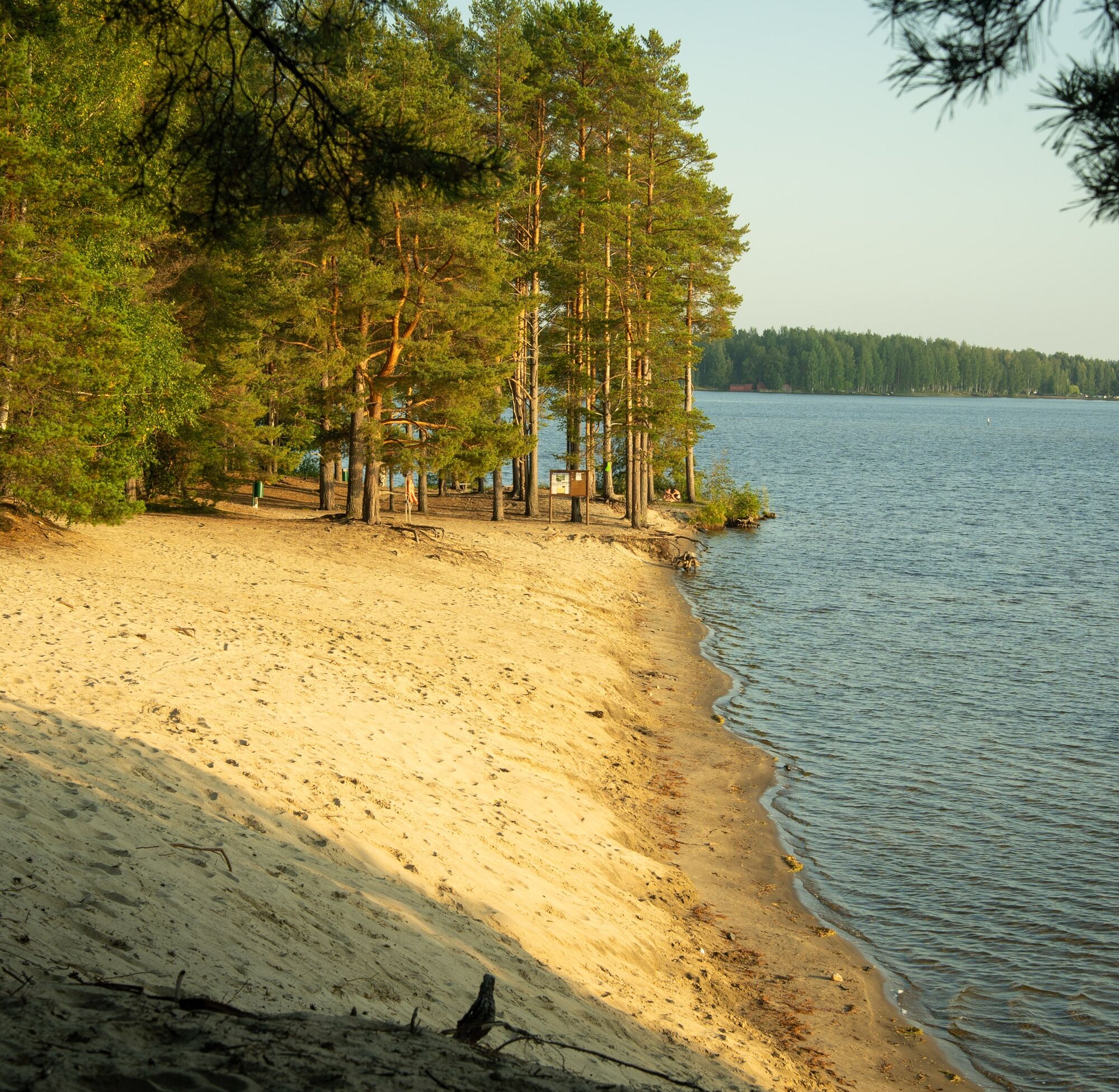
The route tip running through the spruce land of Jaamankangas and the shores of Höytiäinen is entirely part of the Kontionpolku trail system. The dramatic shores and views of Lake Höytiäinen open up in many places along the route. Three beautiful sandy beaches invite you to stop and refresh yourself on a summer day.
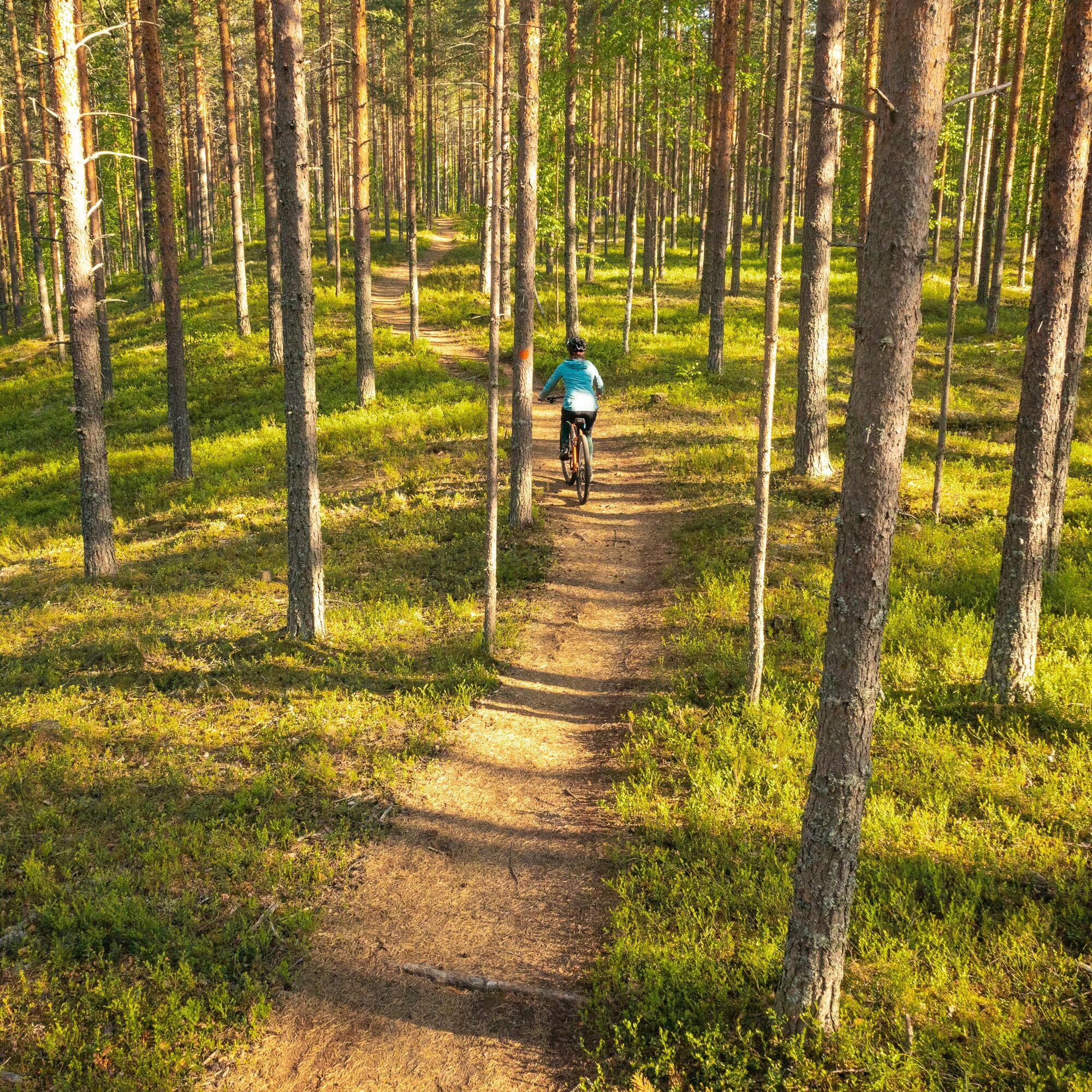
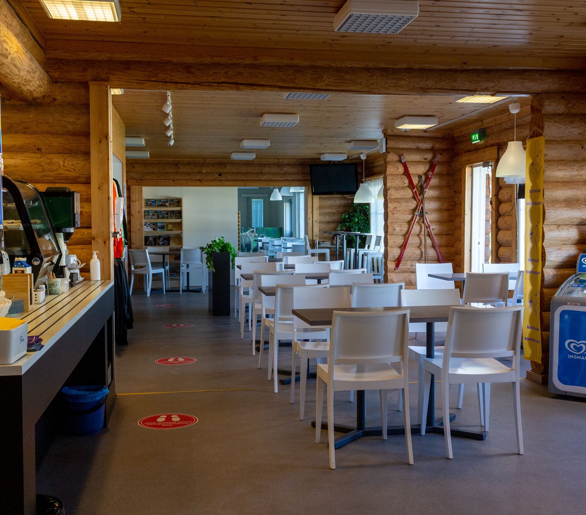
Along the route, there are also a couple of cafés/restaurants where you can refuel energy for the next kilometers. The Kontionpolku trail system is well marked, so it is also suitable for those who are just starting with mountain biking. The varied scenery and diverse terrain make the route a pleasant and interesting whole that attracts returning. This route offers a perfect combination of exercise, peace of nature, and beautiful scenery.
The route is mostly easy trail or riding path, but in places, steep and relatively short climbs make it moderately difficult in parts. The route requires some experience in mountain biking.
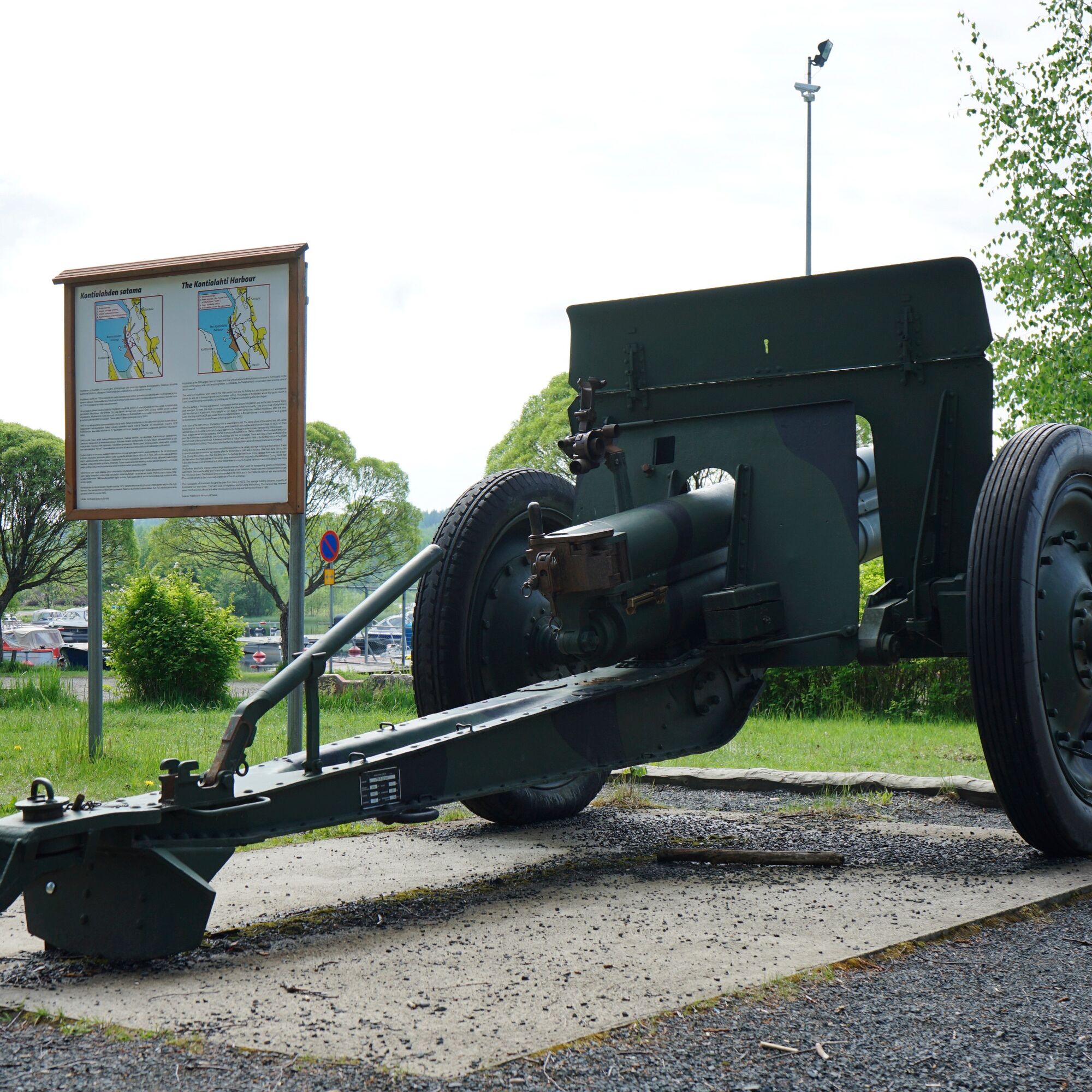
For those interested in war history, the route offers an overview of the area's war history. Check out the nearby points of interest in more detail.


Parking Vierevänniementie 6
Áno
Weather-appropriate gear
Bring drinks
Download the 112 app to your phone.
Starting point address: Vierevänniementie 6
You can reach near Vierevänniementie 6 by bus.
Vierevänniementie 6
S1
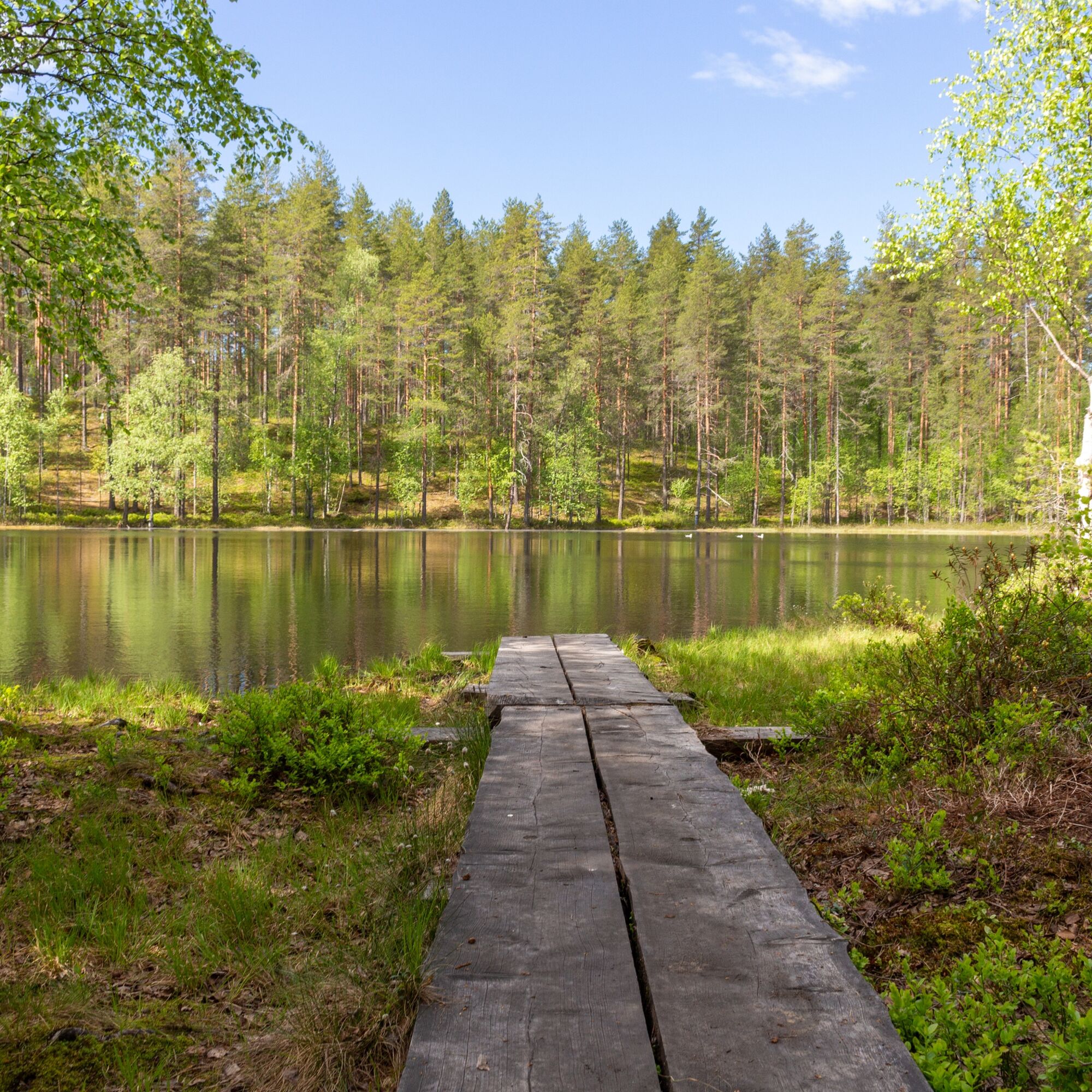
Vierevänniemi beach is also another good starting point
Vierevänniemi beach has wonderful sandy beaches. Stop here for a swim on a beautiful summer day.
The Kontiolahti biathlon center may also have a café open in the summer.
The Kontionpolku trail network is mostly excellently marked, but to stay on this particular route, it is advisable to download the GPX file to your device to facilitate smooth navigation.
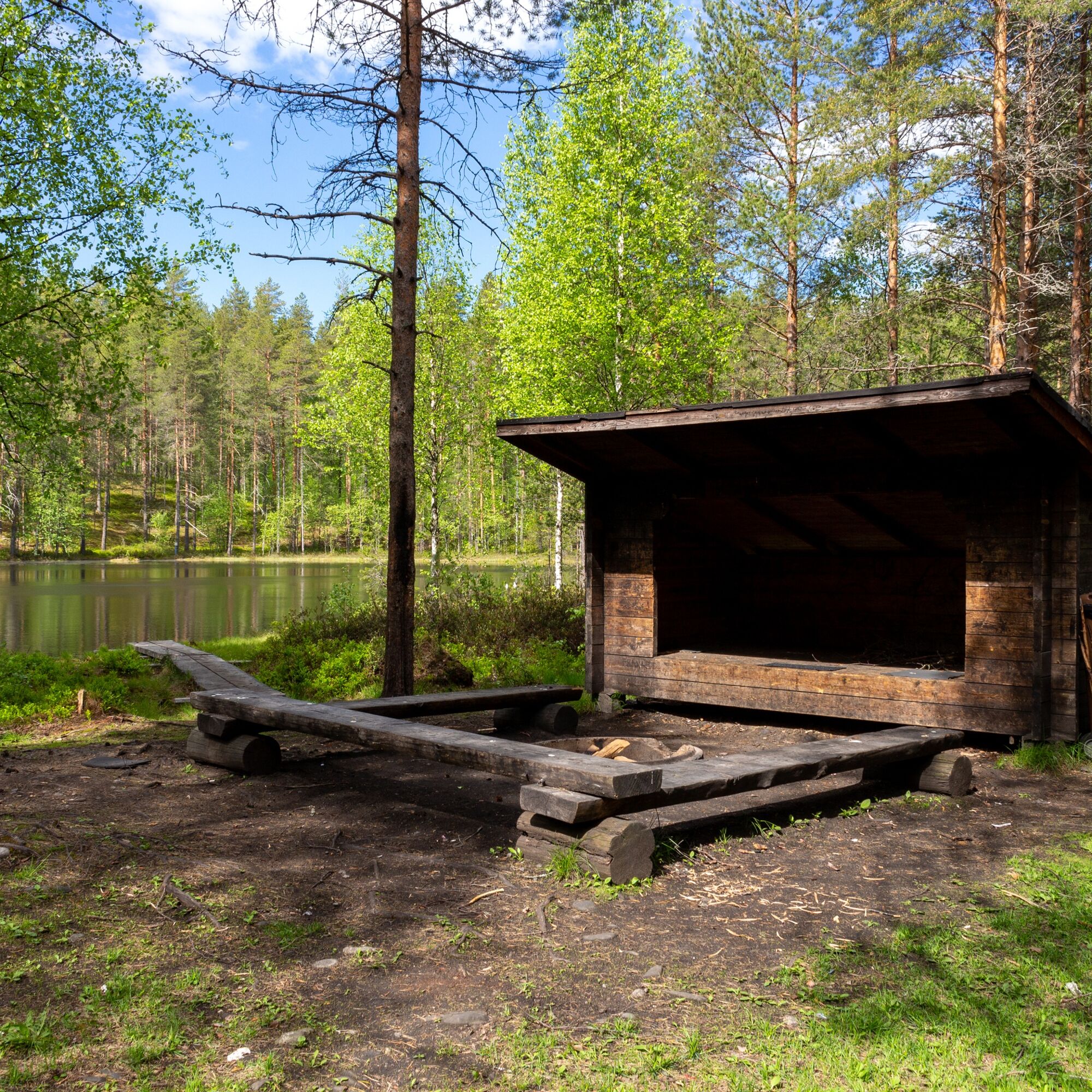
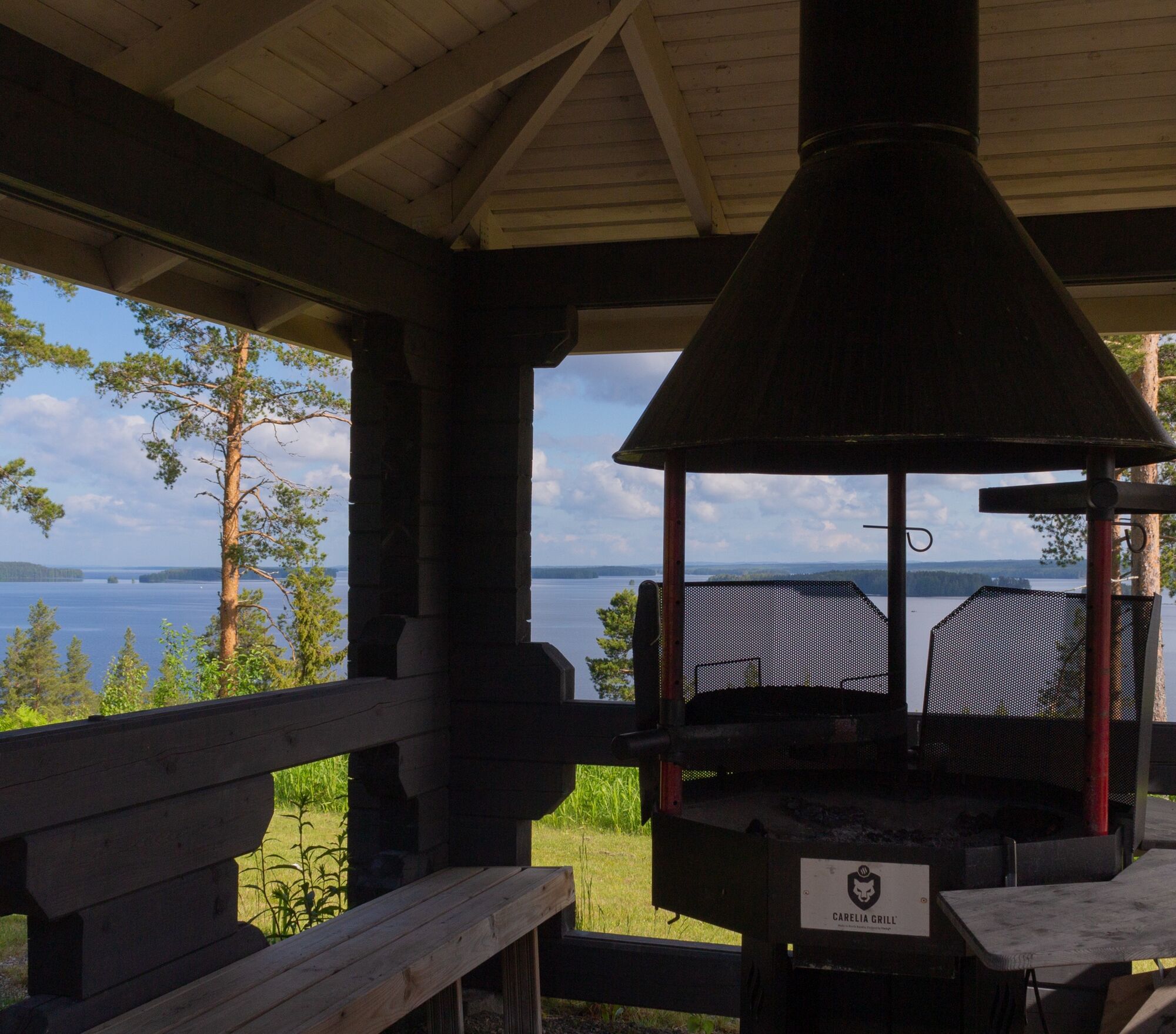
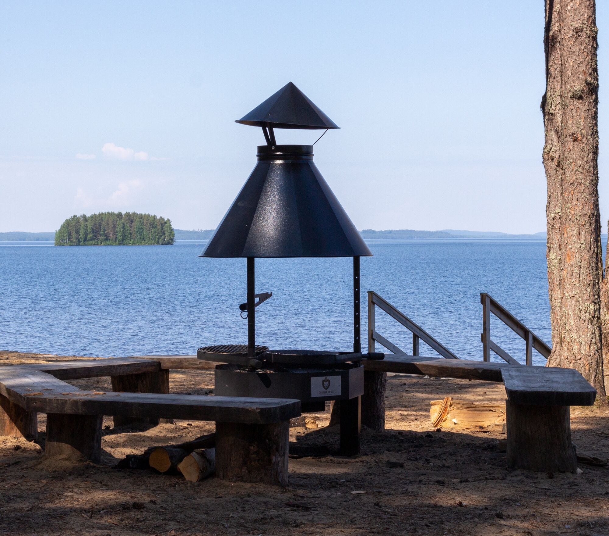
Near Kareliagolf, on the north edge of the golf course, there is a grill shelter with beautiful views next to the route. Mountain bikers are also allowed to stop at the grill shelter.
Obľúbené výlety v okolí
-
Hepopuro nature trail
strednáTuristika 5,93 km -
Joy of riding, the best parts of Joensuu region routes 184 km
strednáMountainbike 184,3 km -
Jaama Trail, easy circular route around Joensuu
svetloMountainbike 59,4 km -
Kontioniemi Trail
strednáTuristika 8,98 km -
The best bits of the Harjupolut route
svetloMountainbike 21,2 km -
The best trails in the Lykynpaths route at Lykynlampi
svetloMountainbike 15,4 km -
From Joensuu's Jokiasema to Lykynlamm
svetloMountainbike 42,5 km -
Unique Harjupolkuje mountain biking trail
strednáMountainbike 20,2 km -
Lykynlampi (Winter) Trail, Lykynpolut
svetloMountainbike 5,20 km -
Monttu Trail, Harjupolut
strednáMountainbike 7,31 km
Turistika a stopovanie


Nenechajte si ujsť ponuky a inšpiráciu na ďalšiu dovolenku
Vaša e-mailová adresa bol pridaný do poštového zoznamu.