


Circular hike in the Dahlener Heide
Úroveň náročnosti: T1


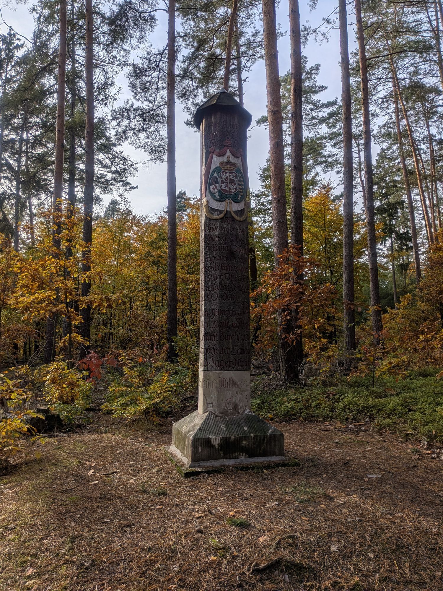
From the heath village of Reudnitz, in the middle of the nature reserve "Reudnitzer Teichkette," the scenic route leads via the G-Path to the center of the Dahlener Heide - the Jägereiche at a six-way...
From the heath village of Reudnitz, in the middle of the nature reserve "Reudnitzer Teichkette," the scenic route leads via the G-Path to the center of the Dahlener Heide - the Jägereiche at a six-way junction. In memory and honor of the Saxon Elector and King of Poland, Friedrich August, a memorial column was erected in 1763 after the last court hunt. Via Stauchitzer Weg, the state-recognized spa town Schmannewitz is reached. The baroque village church is based on plans by the architect of the Frauenkirche in Dresden. Also worth a visit are the Rural Museum, the renovated post mill, the animal enclosure, and the forest bathing area with its giant slide. The cozy inns with their typical heath specialties invite you to rest. The return route leads the passionate hiker past the pumping pond towards the Käthe-Kollwitz hut. Via the "M-Path," you comfortably return to Reudnitz.

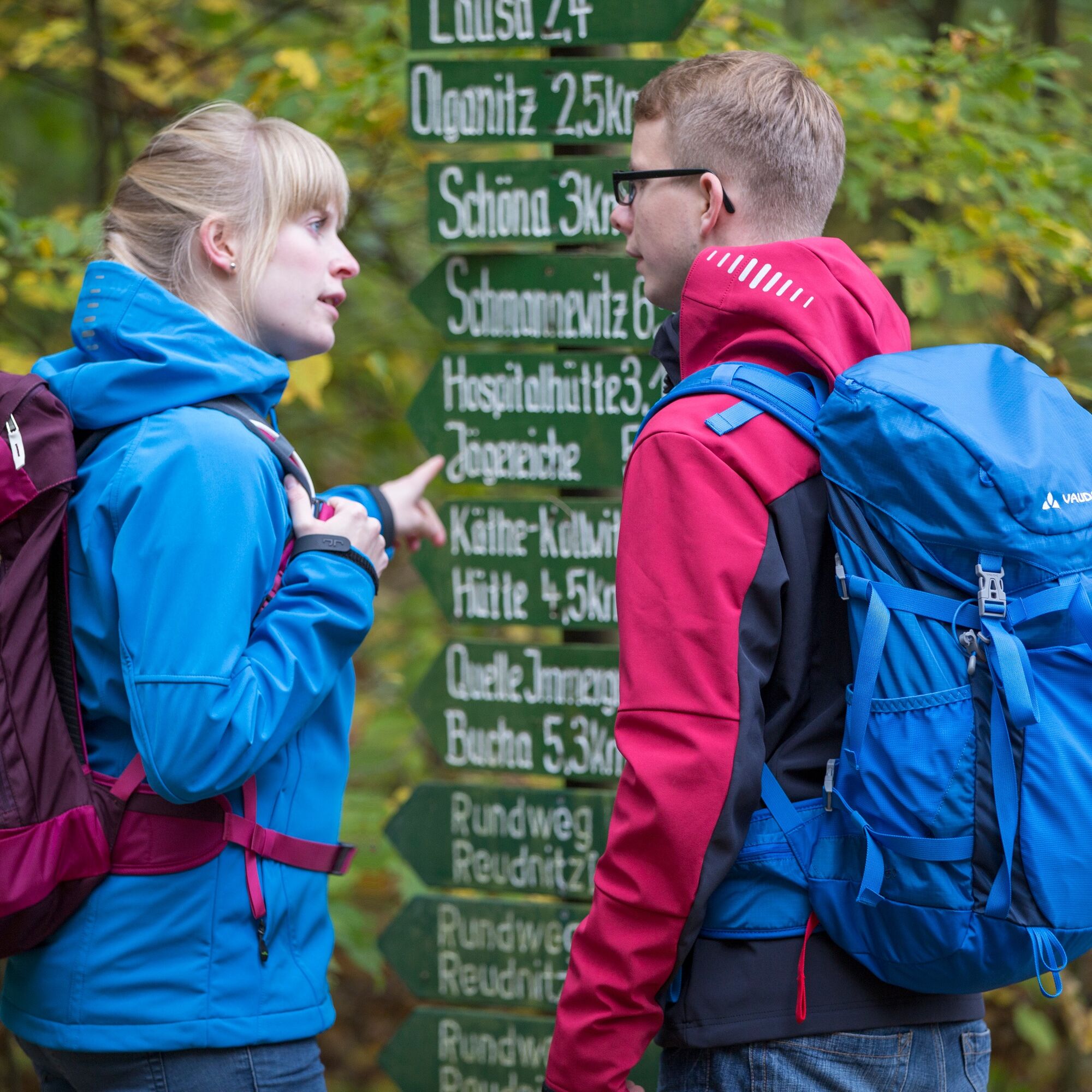
The hike starts in Reudnitz in the Dahlener Heide. Along the G-Path, the hiker passes the Weidenteich on the right and the Hirschteich on the left. The G-Path is followed until after about 3.5 km a hut is reached at a six-way junction. It goes briefly left onto Altlausaer Weg, then right again at the fork. The path continues westward and then southwest towards Stauchitzer Weg. Stauchitzer Weg is walked along to Scheibenwiese. Then briefly on the Forsthaus path and a few meters along the S24 until turning left onto Alten Teichweg. The rabbit monument is on the right and the Old Pond is to the left of the hiker. The path leads through Schmannewitz, to the animal enclosure and over Buchaer Straße to the forest pond with forest bathing and camping. It goes northeast through the forest, past the Blue Lake, towards Lattenberg. Before Lattenberg, switch to the M-Path and continue until the starting point in Reudnitz is reached again.
Áno
Sturdy footwear, weatherproof clothing, provisions.
A14: Exit Mutzschen, direction Wermsdorf – Dahlen – Bucha – Reudnitz.
see www.mdv.de Buses 781 and 785: Torgau-Dahlen (stop Schmannewitz, Torgauer Straße or Forest Bathing Area)
Parking available at Hotel & Restaurant Pelzer
T1
Jägereiche
Forest bathing area
George Bähr Church with Rühle organ and Schmannewitz Rural Museum
Hiking tip: Holzweg Schmannewitz - with dendrological special features
Obľúbené výlety v okolí
-
5,0
Teich- und Waldwanderung in Wemsdorf
strednáTuristika 15,0 km -
Luther Trail Saxony from Torgau to Belgern-Schildau
svetloPútnická trasa 18,5 km -
Luther Trail Saxony from Belgern-Schildau to Wurzen
strednáPútnická trasa 32,1 km -
Circular hike from Wermsdorf to Collm
strednáTuristika 16,8 km -
Circular hike from Schildau to the Schildberg
strednáTuristika 17,8 km -
Luther Trail Saxony - Access route from Dahlen to Schmannewitz
svetloPútnická trasa 5,43 km -
Dahlener-Heide cycling route
strednáCyklistika 40,9 km -
Georoute Collm
svetloTematická trasa 4,84 km -
Wildcat nature trail in Heyda
svetloTematická trasa 1,68 km -
Circular hike from Oschatz to Wüstes Schloss
svetloTuristika 9,13 km
Turistika a stopovanie


Nenechajte si ujsť ponuky a inšpiráciu na ďalšiu dovolenku
Vaša e-mailová adresa bol pridaný do poštového zoznamu.