


Großarler Almenrunde


Fotografie našich používateľov
-
 © Johanna Wimmer-PalatinVytvorené dňa 30.06.2025
 -
 © Johanna Wimmer-PalatinVytvorené dňa 30.06.2025
 -
 © Johanna Wimmer-PalatinVytvorené dňa 30.06.2025
 -
 © Johanna Wimmer-PalatinVytvorené dňa 30.06.2025
 -
 © Robert KraftVytvorené dňa 20.08.2023
 -
 © Markus KrennVytvorené dňa 28.10.2022
 -
 © Markus KrennVytvorené dňa 28.10.2022
 -
 © Markus KrennVytvorené dňa 28.10.2022
 -
 © Markus KrennVytvorené dňa 28.10.2022
 -
 © Thomas MüllerVytvorené dňa 25.10.2022
 -
 © Thomas MüllerVytvorené dňa 25.10.2022
 -
 © Thomas MüllerVytvorené dňa 25.10.2022
 -
 © Thomas MüllerVytvorené dňa 25.10.2022
 -
 © Thomas MüllerVytvorené dňa 25.10.2022
 -
 © Thomas MüllerVytvorené dňa 25.10.2022
 -
 © Thomas MüllerVytvorené dňa 25.10.2022
 -
 © Andrea MahringerVytvorené dňa 31.10.2025
 -

 © Stefan RuhringerVytvorené dňa 08.08.2023
 -

 © Mieke SeysVytvorené dňa 25.06.2023

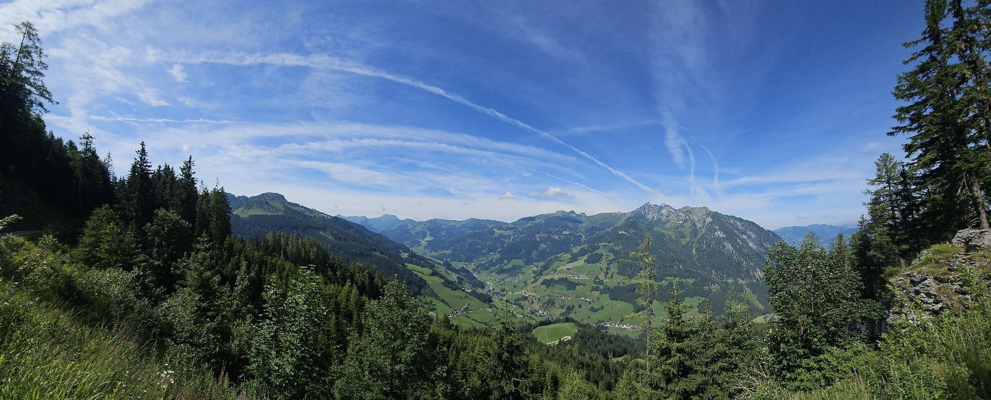


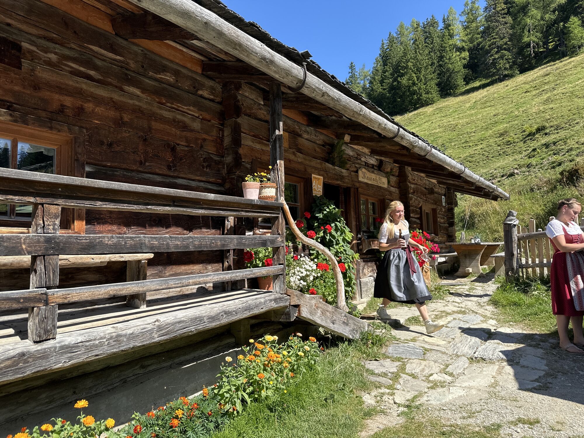
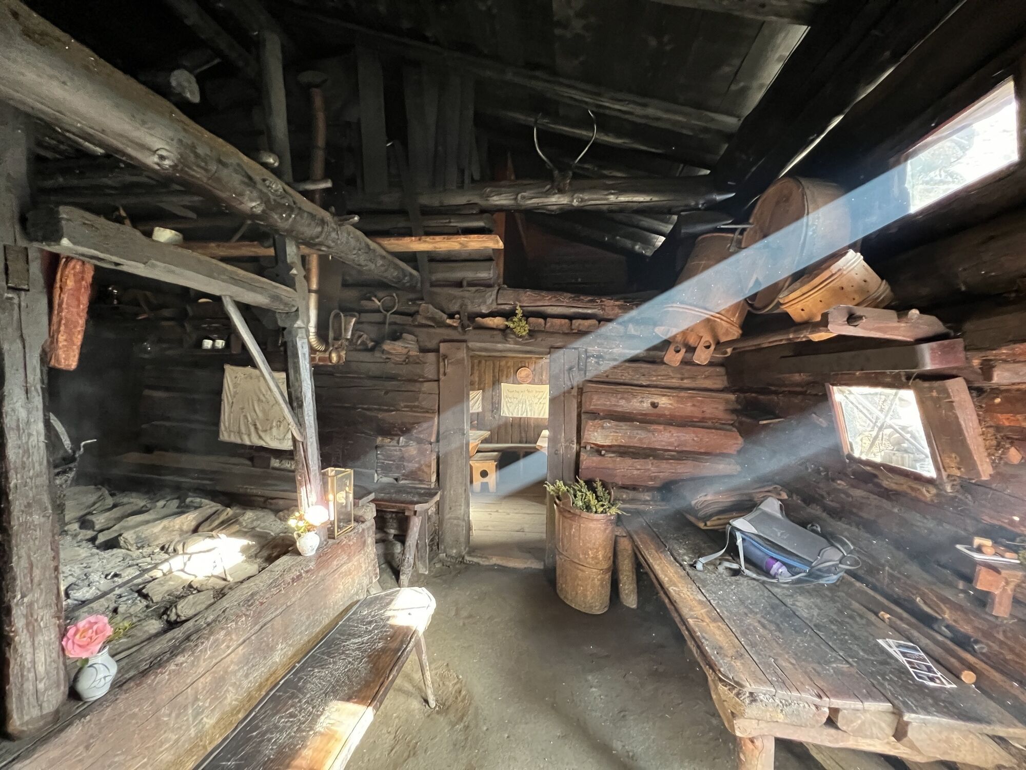


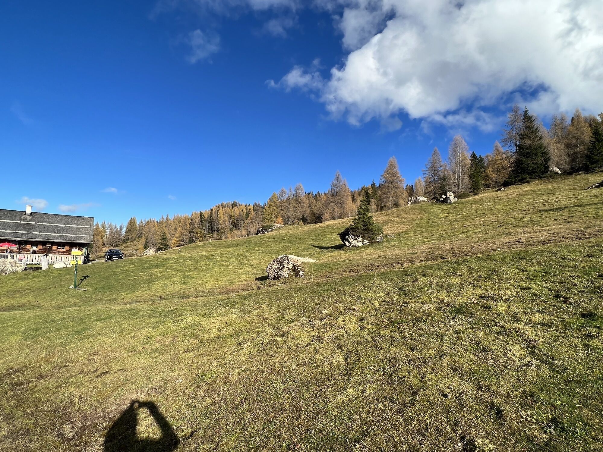


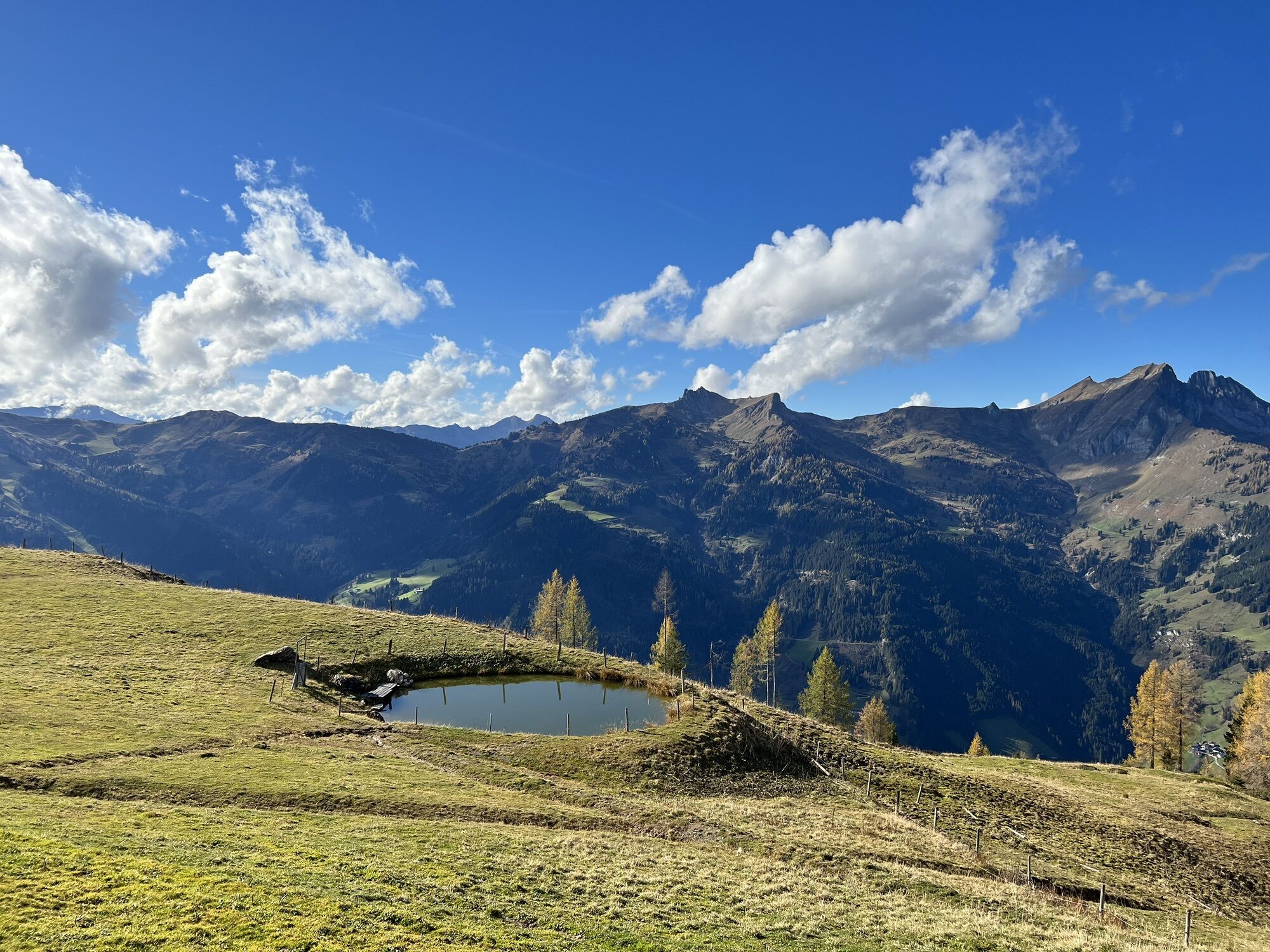
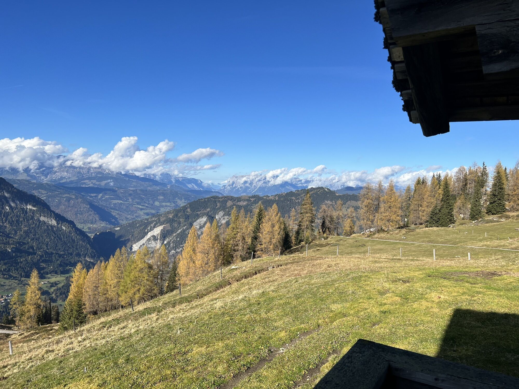


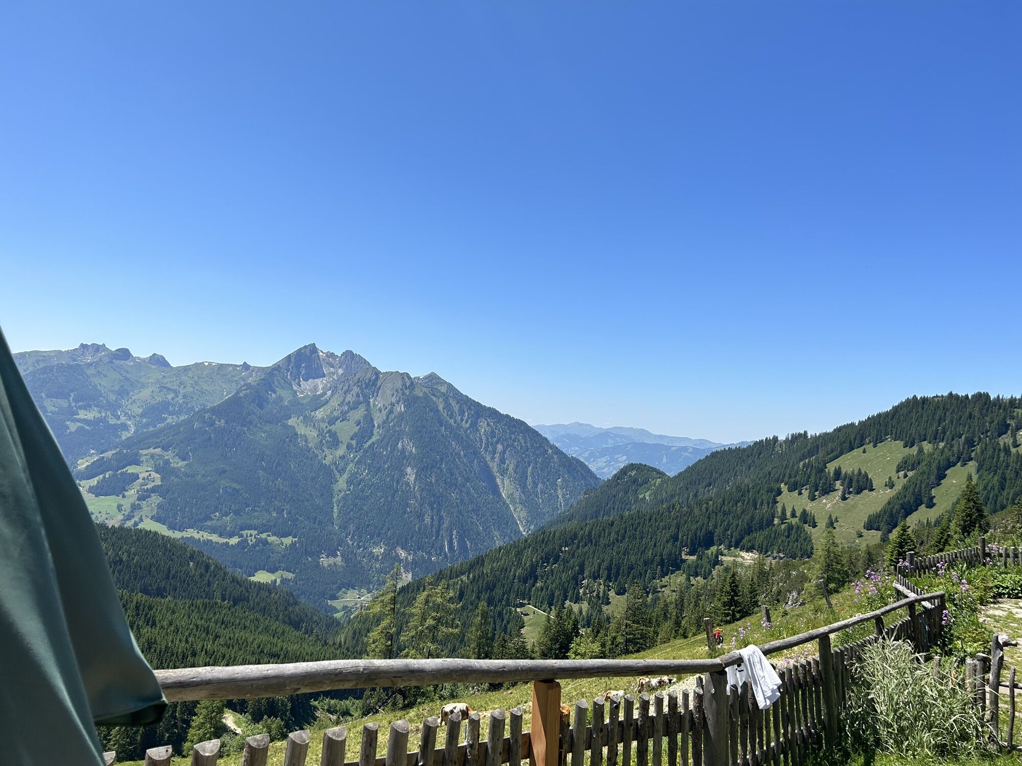
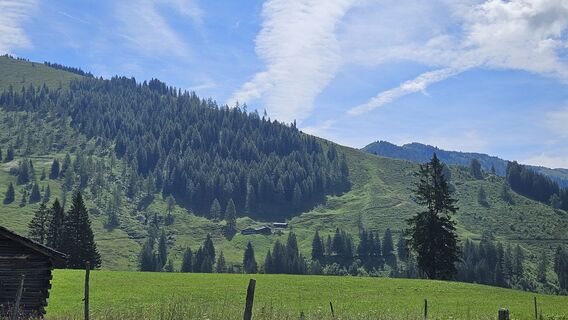
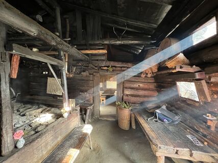
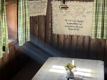
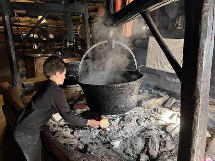
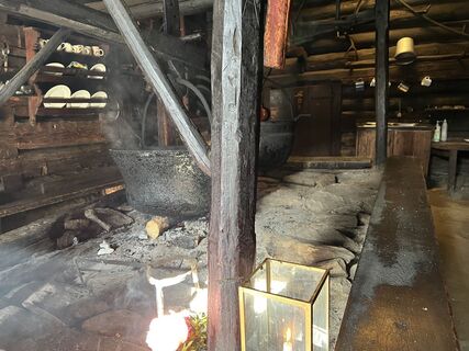
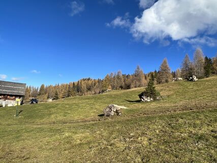
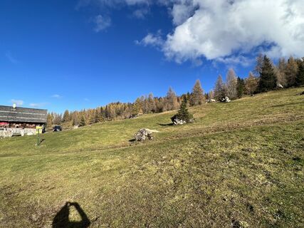
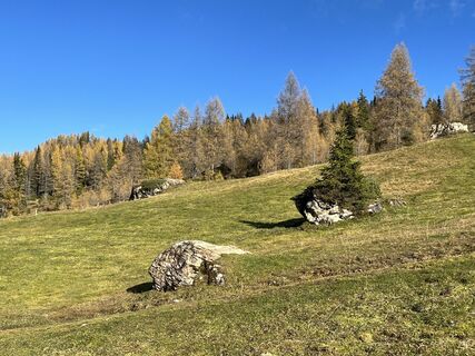
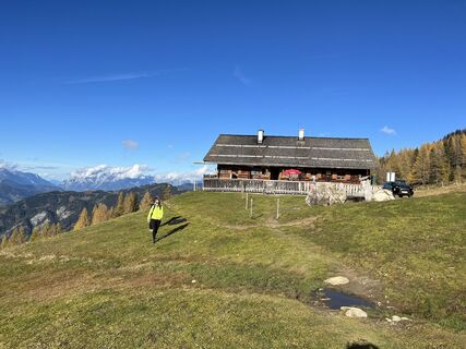
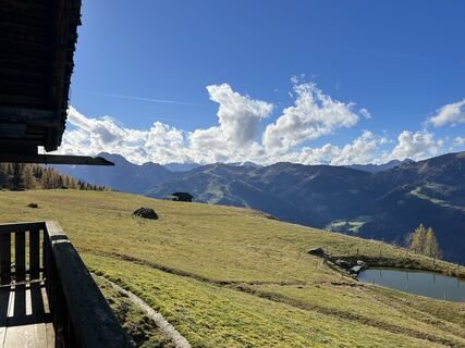
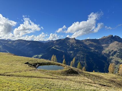
The special feature of this route is that you can discover both various alpine huts and the stunning mountain world of the Großarltal. The route overall is very challenging, but there are always cozy huts...
The special feature of this route is that you can discover both various alpine huts and the stunning mountain world of the Großarltal. The route overall is very challenging, but there are always cozy huts and beautiful spots for a break and a delicious refreshment.
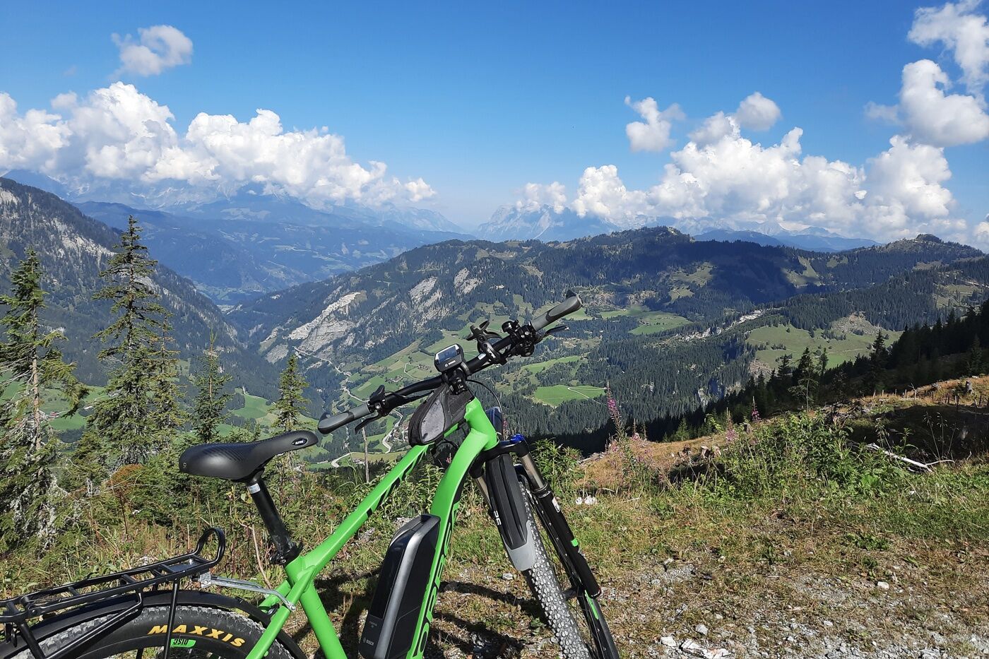
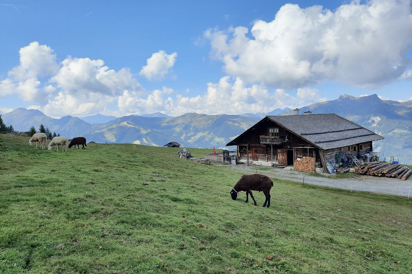
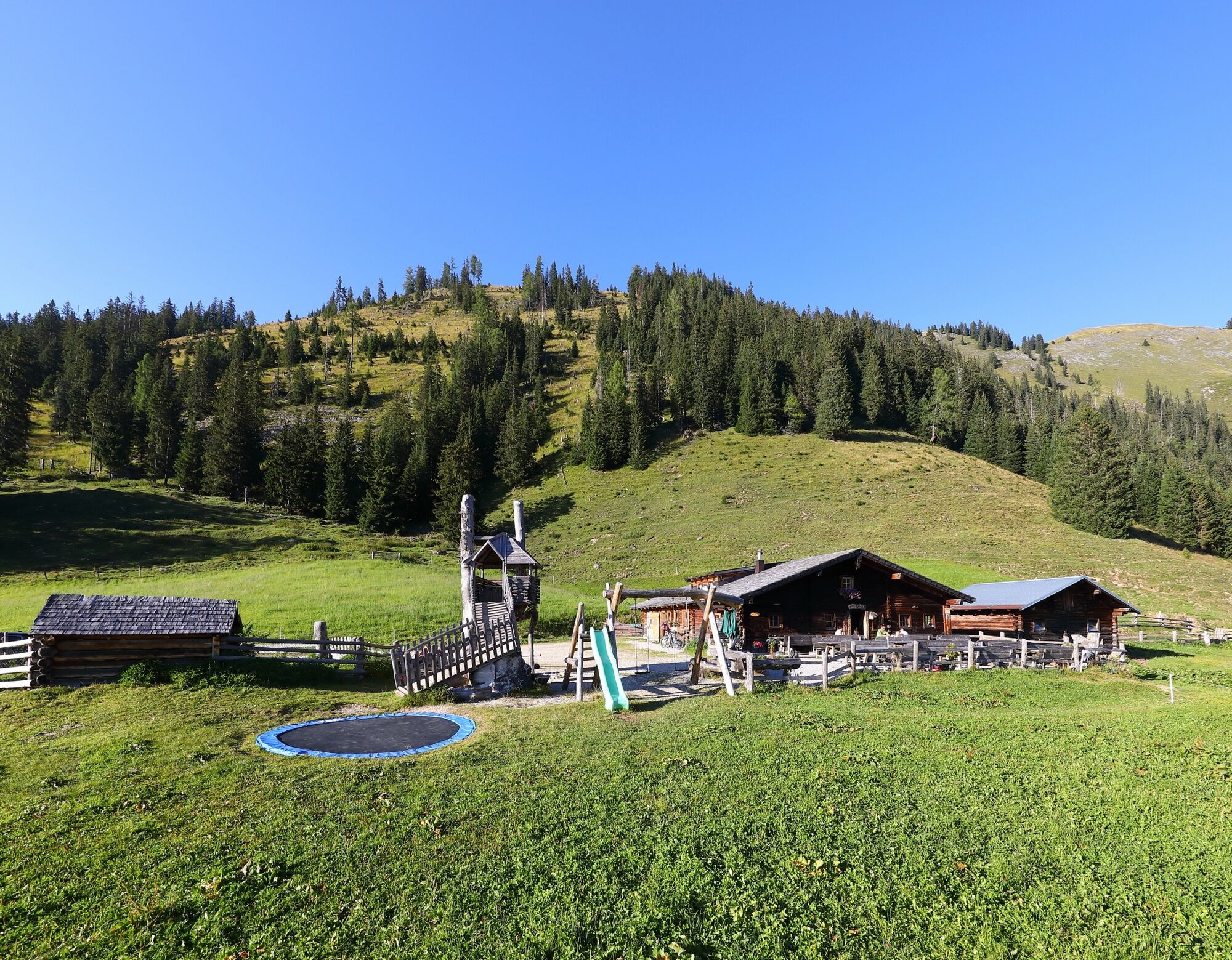
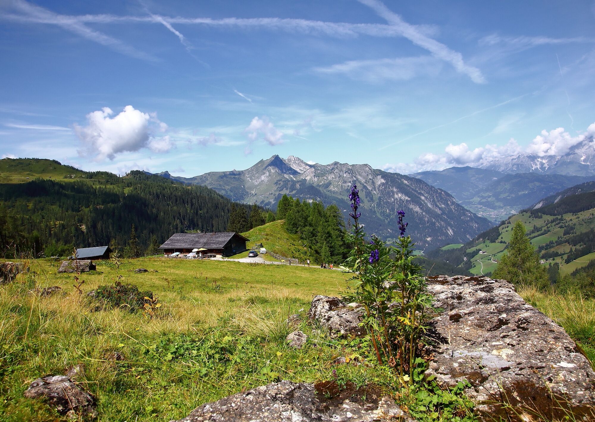
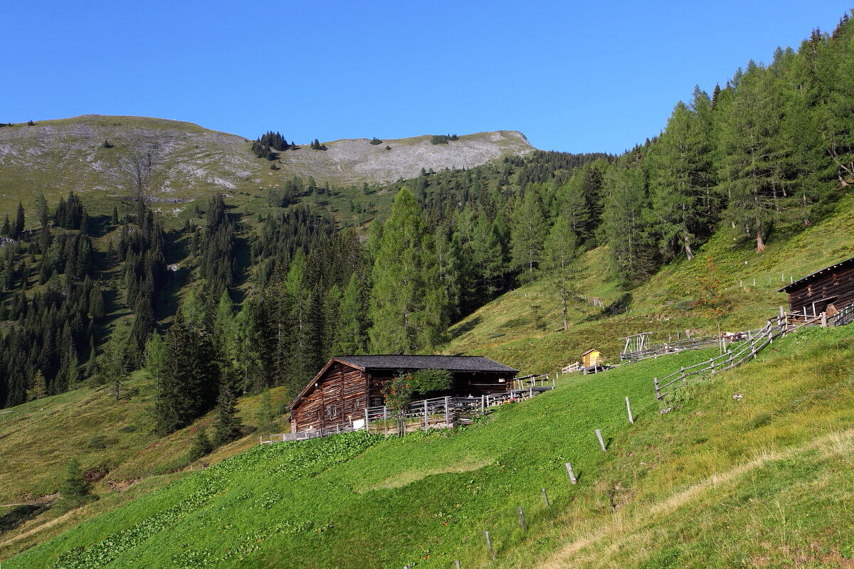
The route starts at the bistro Großarler Genuss and leads up the Sonneggweg. After about 2.7 km, turn right towards Saukaralm. The path then leads 700 vertical meters in a serpentine manner up to Saukaralm, the first intermediate destination of the route. For a stretch, it goes back down the same way. Before the barrier, take the right service road towards Großwildalm and Karseggalm. At the junction after about 4.5 km, turn right to Großwildalm and here you can enjoy the fantastic view of the surrounding mountains. Then return to the junction, and cross over to Karseggalm. After another 5 minutes of riding, you reach the next hut, the Unterwandalm. From Unterwandalm, go about 1.5 km slightly downhill, just right to enjoy the breathtaking view before ascending the last 100 vertical meters to the Maurachalm. From now on, follow the route downhill, first on the same path and downhill towards Sonneggbrücke. Afterwards, ride back down to the valley.
Áno
Road-legal and functional mountain or e-bike
Helmet, gloves, and glasses
Clothing appropriate for the weather
For emergencies: first-aid kit and mobile phone
Moderate local and taxi traffic.
From the center of Großarl, you can reach the starting point of this route via the valley bike path towards St. Johann im Pongau after about 4.2 km.
Here you can find all parking options in Großarl and Hüttschlag.
Webové kamery z prehliadky
-
Gernkogel - Alpendorf St. Johann
-
Grafenberg
-
Hotel Lammwirt im Großarltal/Ellmautal
-
Ellmautal - Palfenhof
-
St. Johann-Alpendorf
-
Großarl - Vitalhotel Tauernhof
-
St.Johann-Alpendorf Gernkogel
-
Gernkogel - Alpendorf St. Johann
-
Gernkogel - Alpendorf St. Johann
-
Mooslehen Berg
-
Großarl - Loosbühelalm
-
Grossarl - Hotel Gasthof Schützenhof
-
Großarl - Hotel Kristall Übungslift
-
Gernkogel - Alpendorf St. Johann
-
Gernkogel - Alpendorf St. Johann
-
Gernkogel - Alpendorf St. Johann
-
Gernkogel - Alpendorf St. Johann
-
Snow Space Salzburg - Snowpark
-
Großarl
-
St. Johann-Alpendorf
-
St. Johann-Alpendorf
-
St. Johann-Alpendorf
-
St. Johann-Alpendorf
Obľúbené výlety v okolí
-
4,5
Mosermandl Windischscharte, Salzburger Land/Österreich
ťažkéTuristika 14,6 km -
4,2
Ennskraxn (2410m)
ťažkéTuristika 14,7 km -
4,2
Großarl: Unterwandalm - Karseggalm - Breitenebenalm
strednáTuristika 5,93 km -
4,4
Wasserfall Bad Hofgastein
svetloTuristika 3,89 km -
4,4
Ski tour Liebeseck
ťažkéSkitour 14,1 km -
4,8
Großarl: Mooslehenalm – Niggeltalalm – Viehhausalm
strednáTuristika 5,44 km -
4,5
Penkkopf via Kleinarler hut from Kleinarl
strednáSkitour 4,35 km -
4,8
Liechtensteinklamm mit Helix
svetloTematická trasa 3 km -
4,4
Großarl: Saukaralm - Saukarkopf - Gerstreitalm
strednáTuristika 9,14 km -
5,0
Großarl: Alpine pasture circuit in Ellmautal
strednáTuristika 9,69 km
Turistika a stopovanie


Nenechajte si ujsť ponuky a inšpiráciu na ďalšiu dovolenku
Vaša e-mailová adresa bol pridaný do poštového zoznamu.