


Unken - Almenwelt Lofer - Unkenberger Mähder - Unken


Fotografie našich používateľov
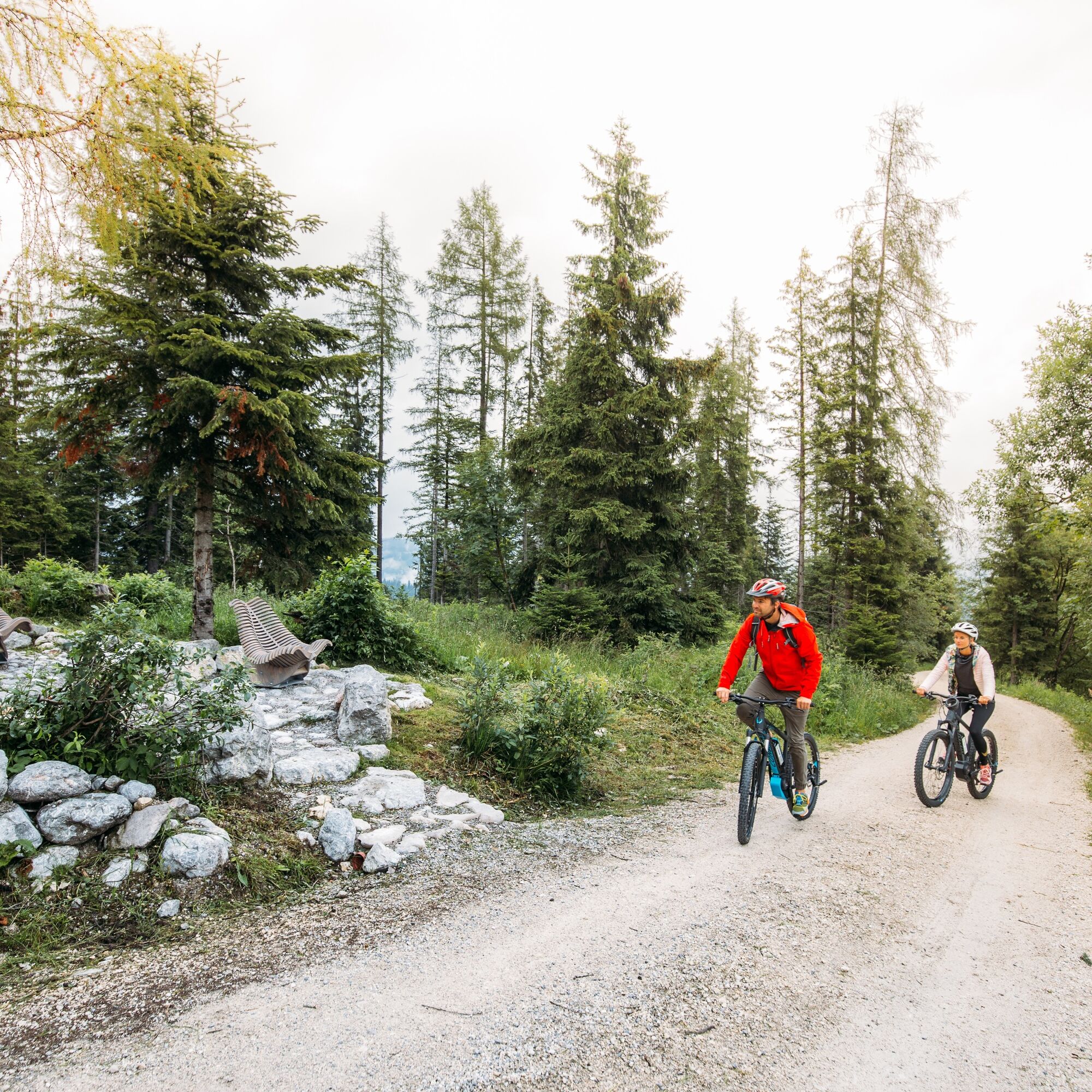
This demanding MTB route is a real treat for all mountain bikers. The ascent first takes you over the paved Heutal Landesstraße to the Gasthof Hintergföll. From there, it goes through the forest on forest...
This demanding MTB route is a real treat for all mountain bikers. The ascent first takes you over the paved Heutal Landesstraße to the Gasthof Hintergföll. From there, it goes through the forest on forest roads to the Almenwelt Lofer. Shortly thereafter, you reach the highest point of the route at Schwarzeck. From here, the route leads you past Dietrichshorn and the Unkenberger Mähder. Subsequently, you reach the Reith district after Lehrmoos (possibility "Grabnertail") and return to the starting point at the municipal office in Unken via the Tauern cycle path.

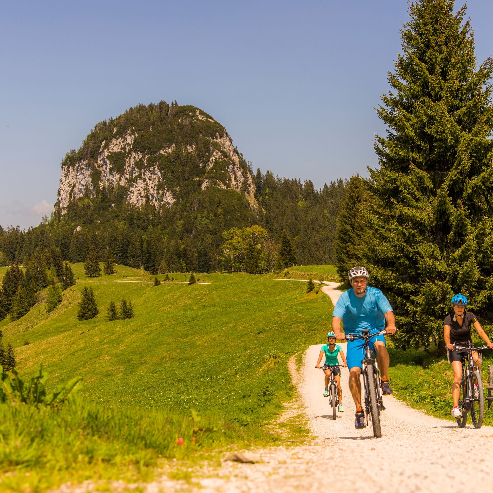
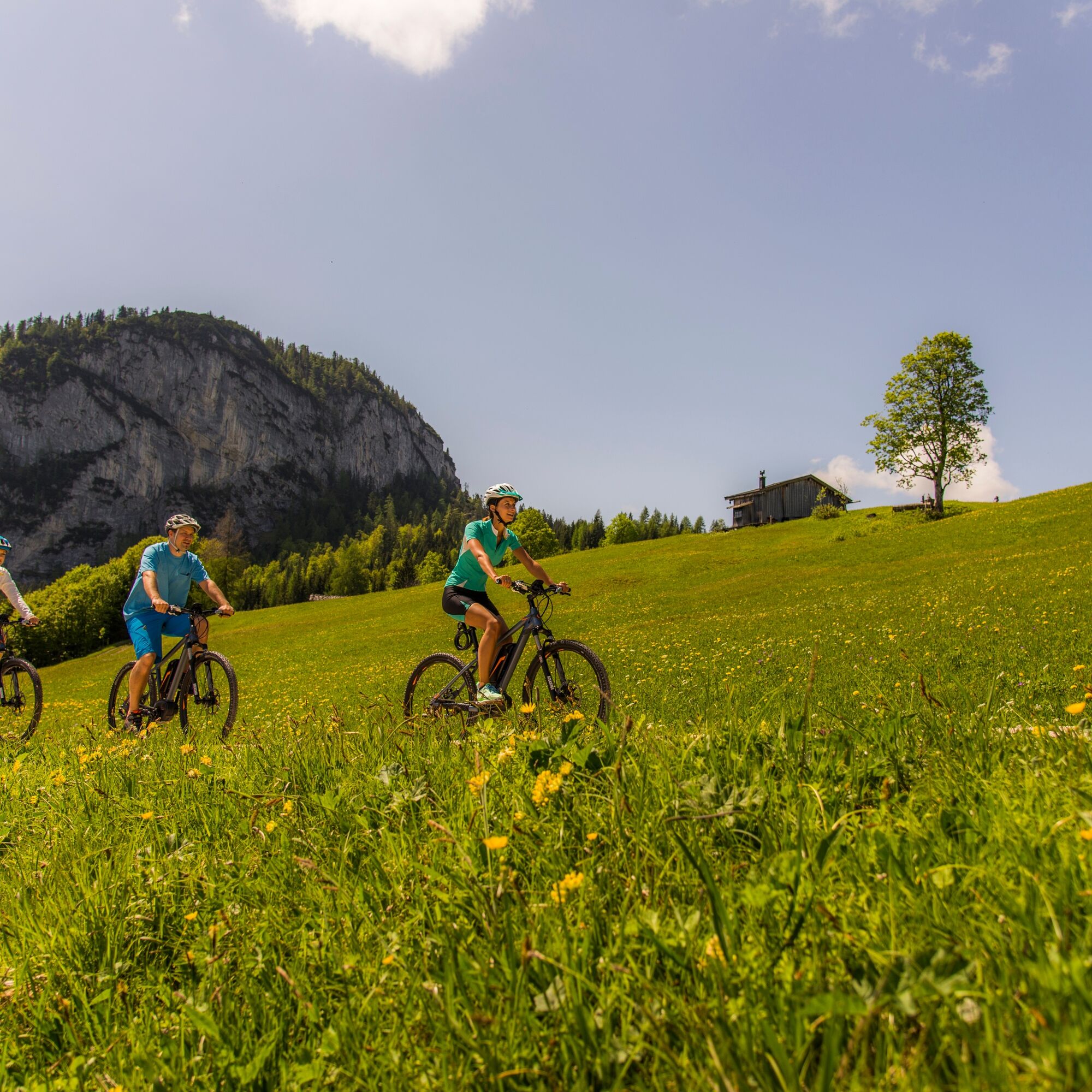
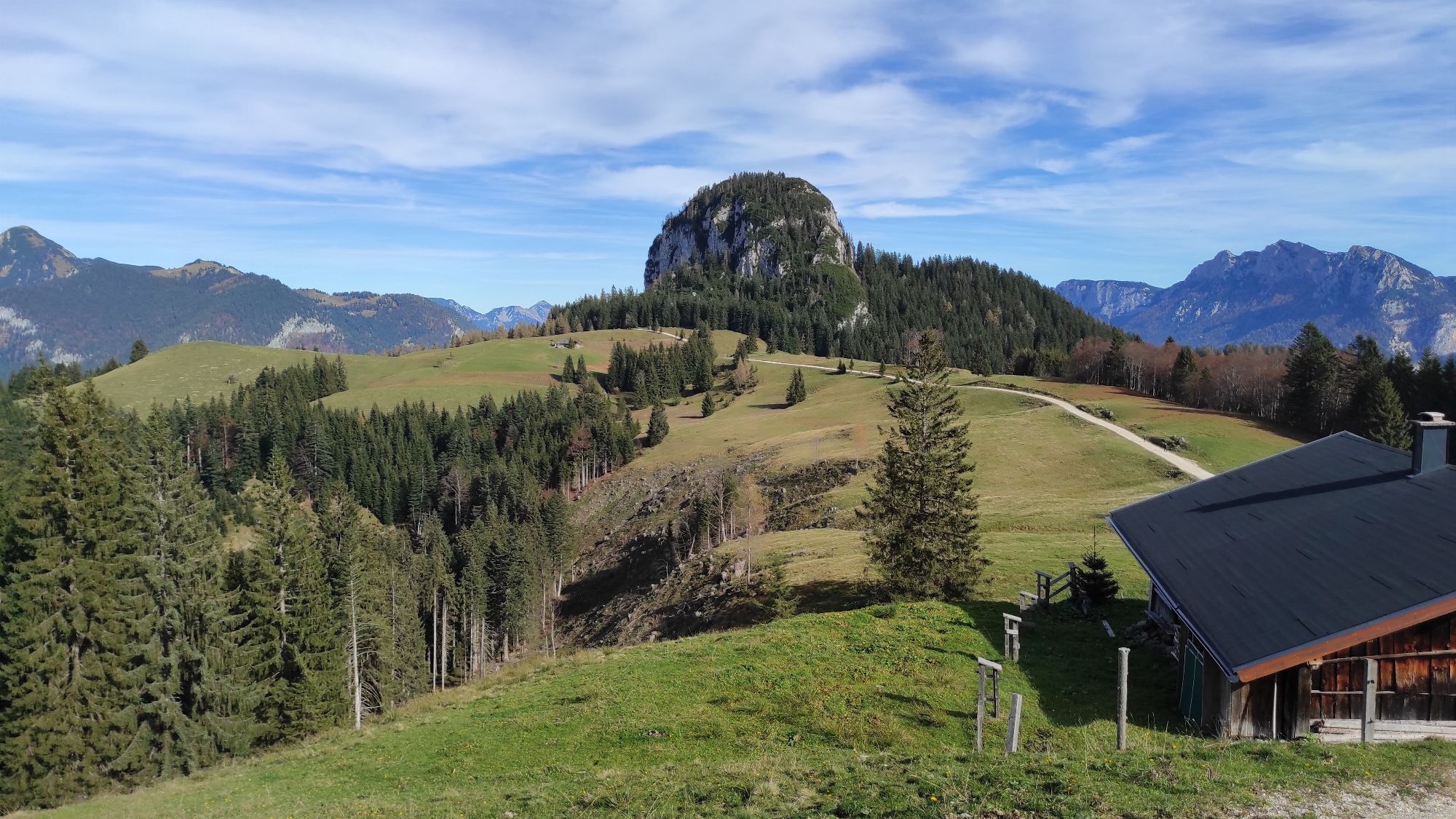
The route takes you from Unken via the Heutal Landesstraße (L251). After about 5 kilometers, turn left towards "Hintergföll". From there, continue to the former snack station Moarlack, via Ochsenbrunn and Möststube to Schwarzbergklamm. Over the Fußtalstube, you reach the Almenwelt Lofer. From here, go via Schwarzeck and the Unkenberger Mähder and Lehmoos back to Unken.
normal MTB equipment
Coming from Salzburg, turn right after the Steinpass border crossing to Unken. Coming from Lofer/Zell am See, turn right before the Achberg tunnel to Unken. The start of the route is located at the municipal office in Unken.
By bus line 260 (timetable) to the Unken - town center bus stop
Parking options in the town center of Unken
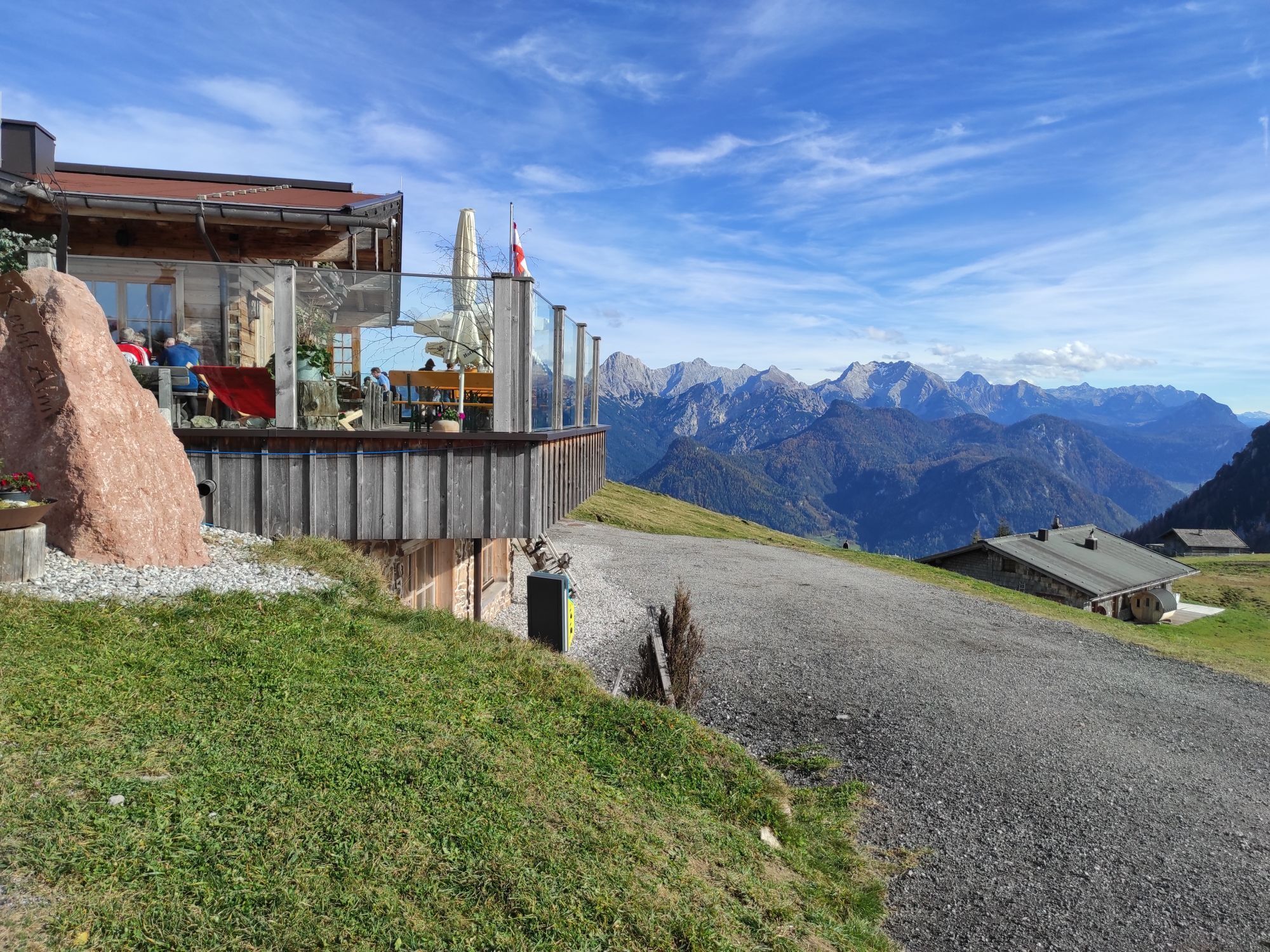
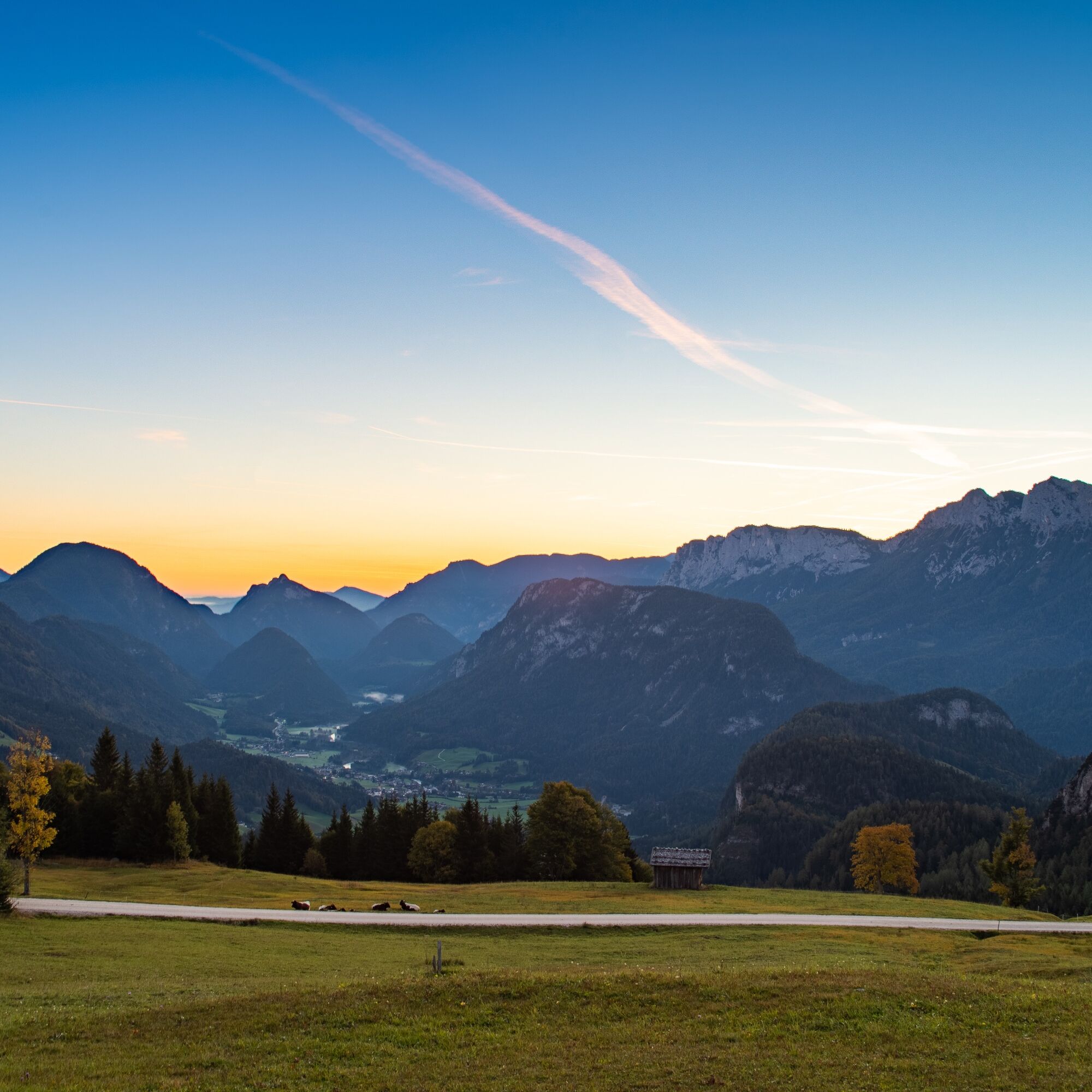
Enjoy the beautiful 360° panoramic view at Schwarzeck in Almenwelt Lofer.
Webové kamery z prehliadky
-
Schwarzlofer
-
Waidring - Hotel Tiroler Adler
-
Winklmoosalm
-
Bergstation Almbahn II
-
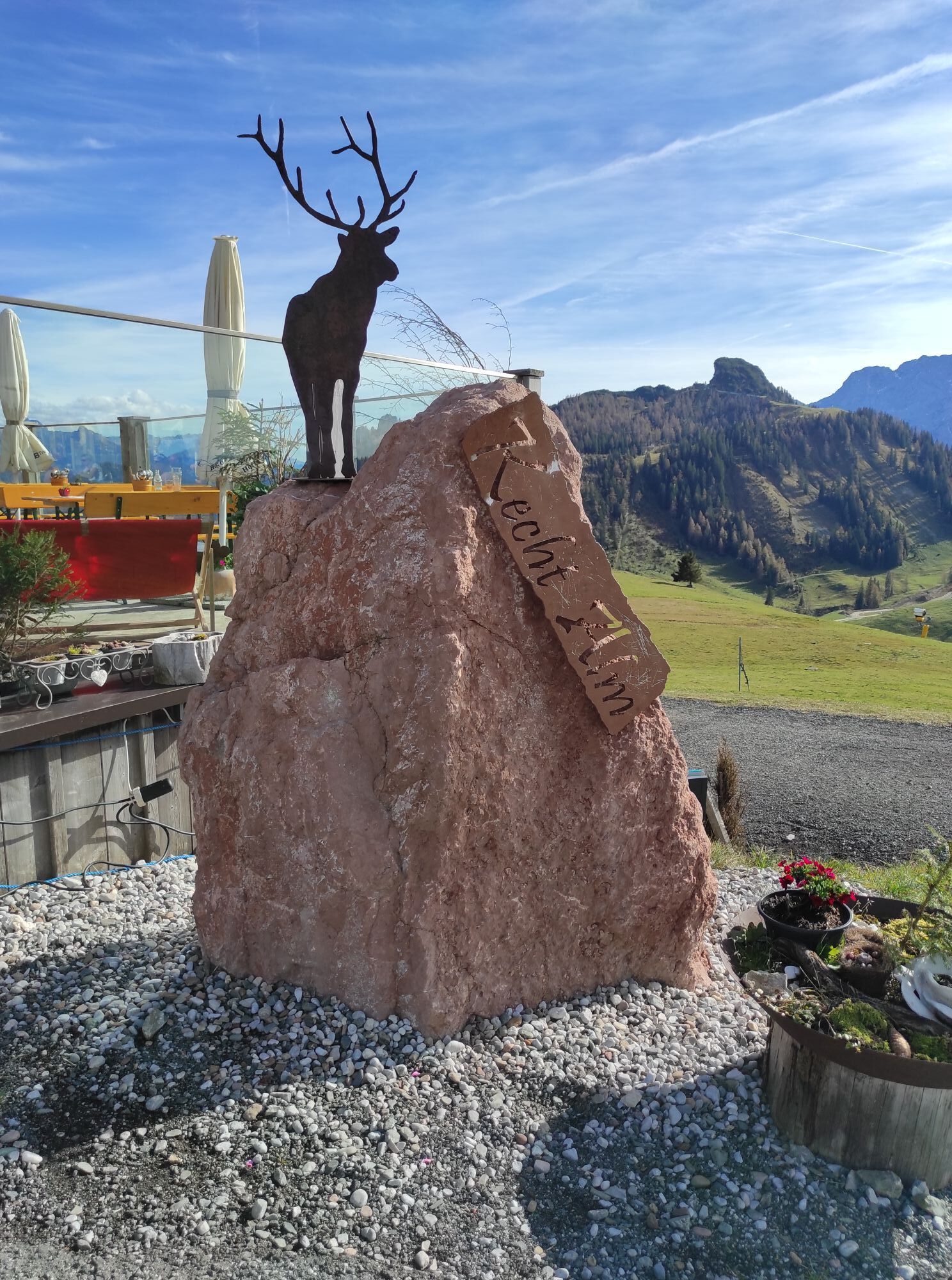
Almenwelt Lofer
-
Almenwelt Lofer
-
Almenwelt Lofer
-
Almenwelt Lofer
-
Almenwelt Lofer
-
Almenwelt Lofer
-
Almenwelt Lofer
-
Almenwelt Lofer
-
Almenwelt Lofer
-
Almenwelt Lofer - Talstation
-
Heutal - Wildalm Talstation
-
Lofer
-
Scheiblberg
-
Heutal - Sattelkurvenlift Berg
-
Waidring Schweizerhof
-
Waidring Adler Hotel
-
Schwarzlofer
Obľúbené výlety v okolí
-
3,2
From Heutal to Sonntagshorn in the Salzburger Saalachtal
strednáTuristika 11,7 km -
4,5
Rundweg vom Hintersee zur Halsalm
strednáTuristika 9,53 km -
4,2
Halsalm
Turistika 6,43 km -
5,0
Sonntagshorn über Hochalm (Unken, Heutalbauer)
strednáTuristika 11,2 km -
4,7
Grießbachklamm - Almenrunde
svetloTuristika 12,4 km -
4,6
CHIEMGAU: Hörndlwand (1684m), Gurnwandkopf (1691m)
svetloTuristika 12,6 km -
3,4
Rauschberg Rundwanderung über Sackgrabensteig
svetloTuristika 18 km -
4,4
Unternberg
svetloTuristika 9,20 km -
3,3
Aschauerklamm
Turistika 15,1 km -
4,7
Over the waterfall trail into the Almenwelt Lofer
strednáTuristika 3,29 km
Turistika a stopovanie


Nenechajte si ujsť ponuky a inšpiráciu na ďalšiu dovolenku
Vaša e-mailová adresa bol pridaný do poštového zoznamu.