



Snowshoe hike to Zinkenstüberl


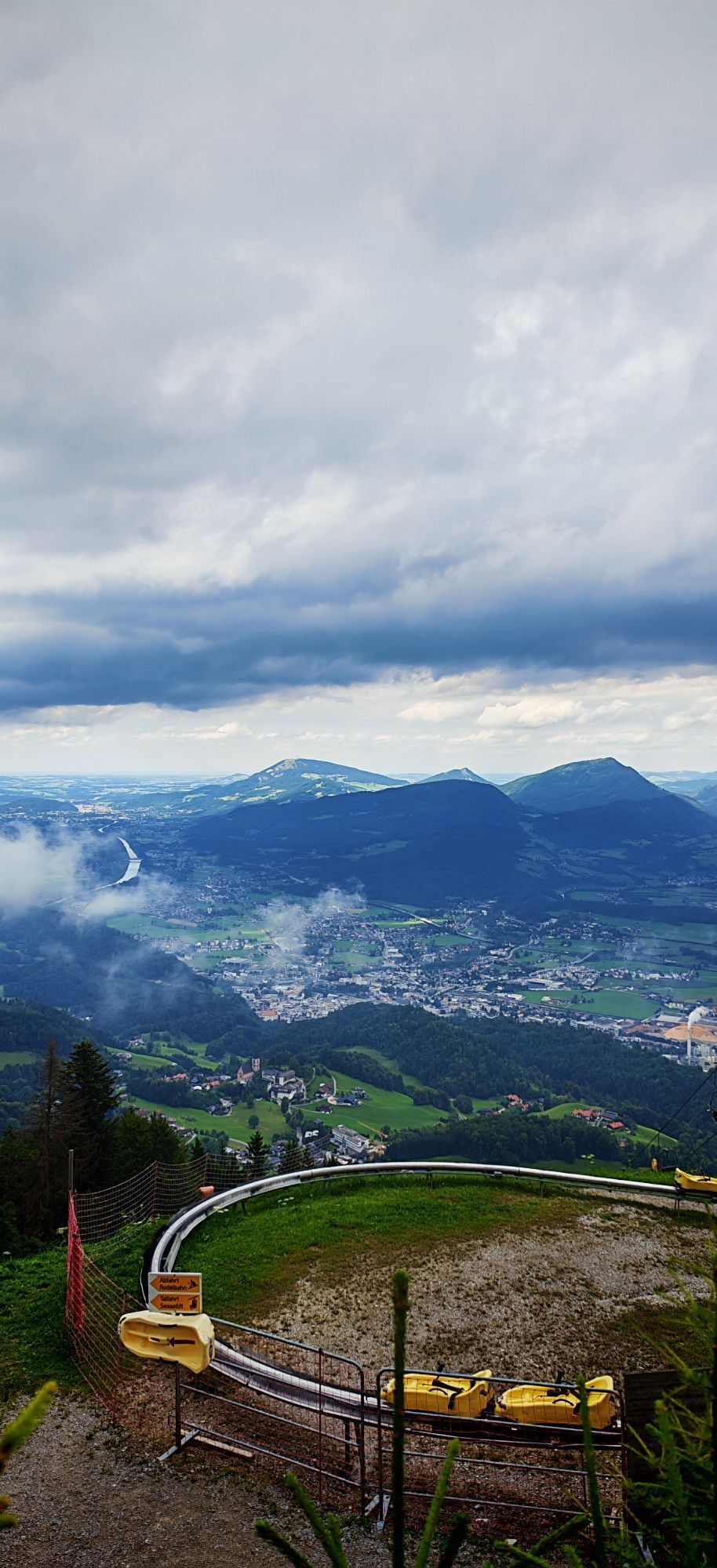
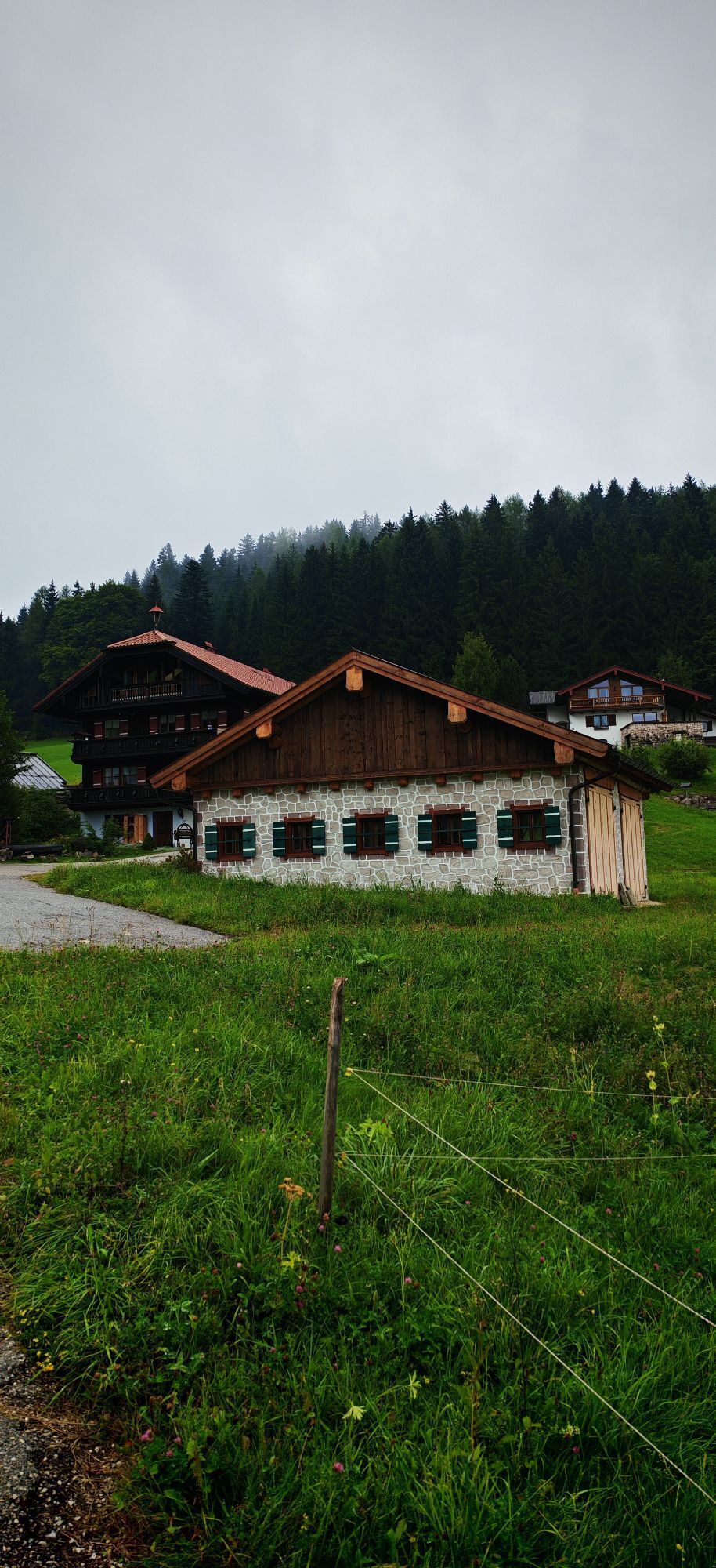

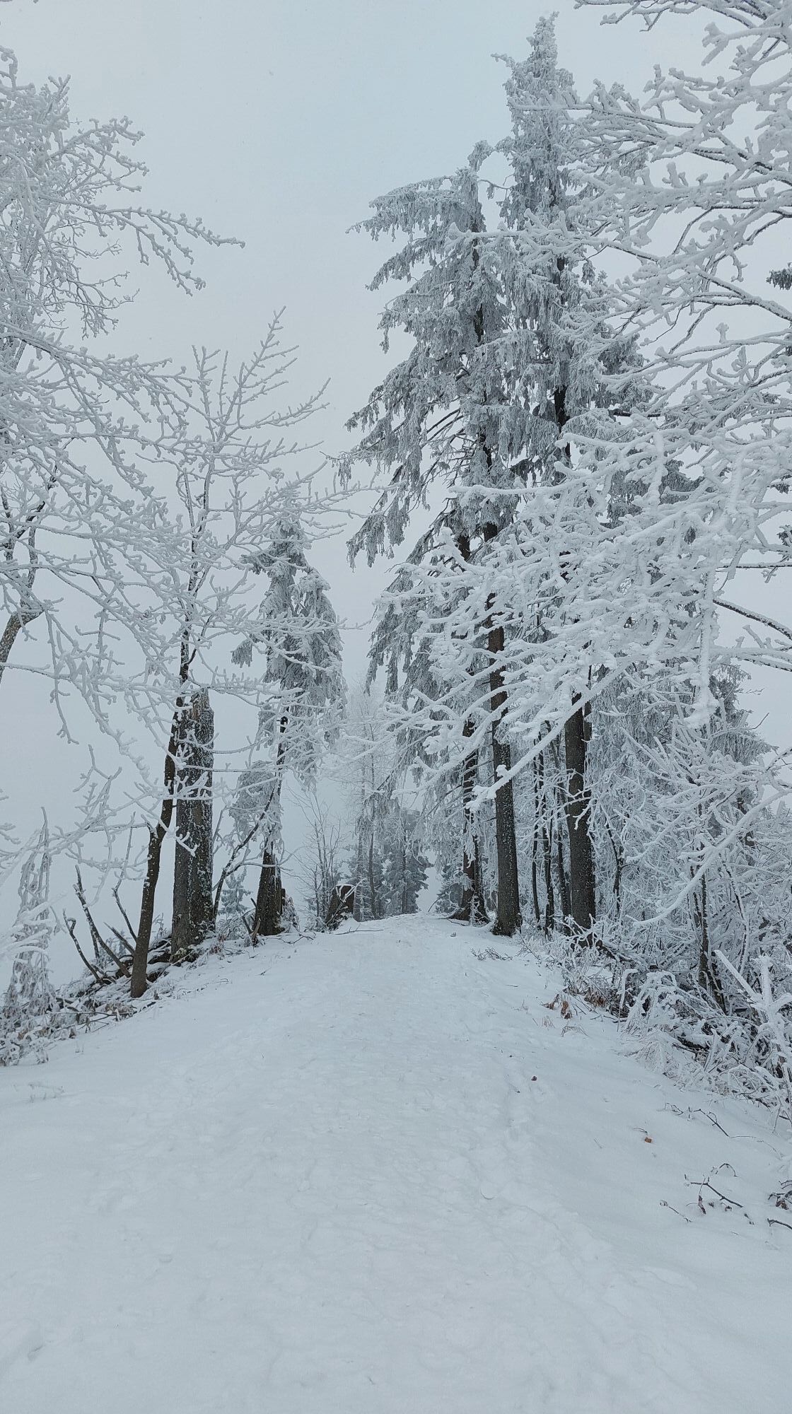
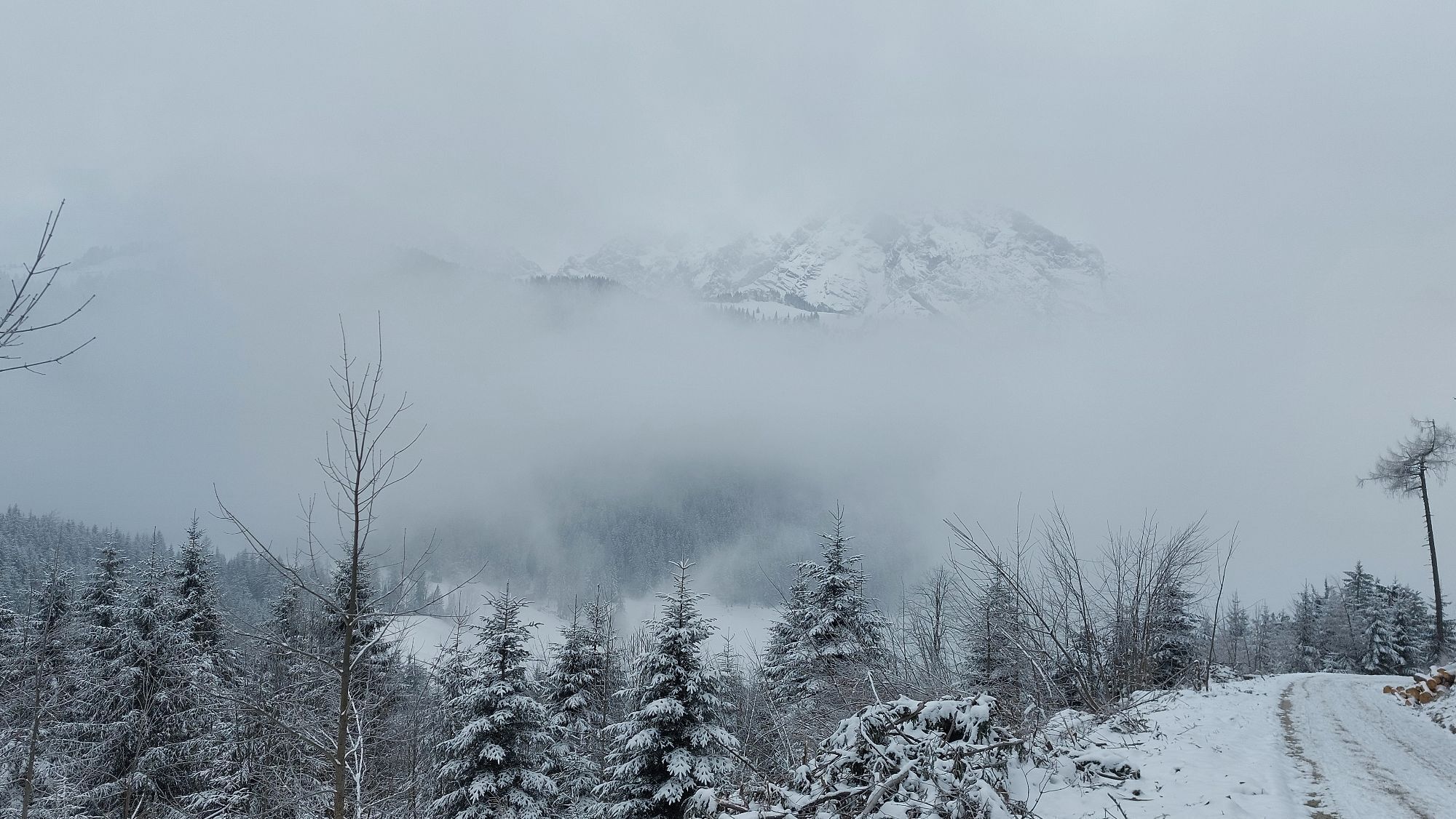
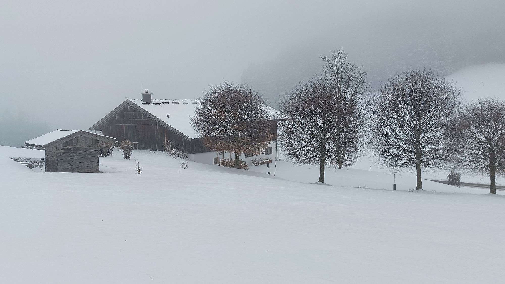
Opposite the information point in Bad Dürrnberg, the route goes steeply uphill along Rumpelgasse (initially still on cleared streets) to the Gmerk border crossing. Shortly after, on the Bavarian side,...
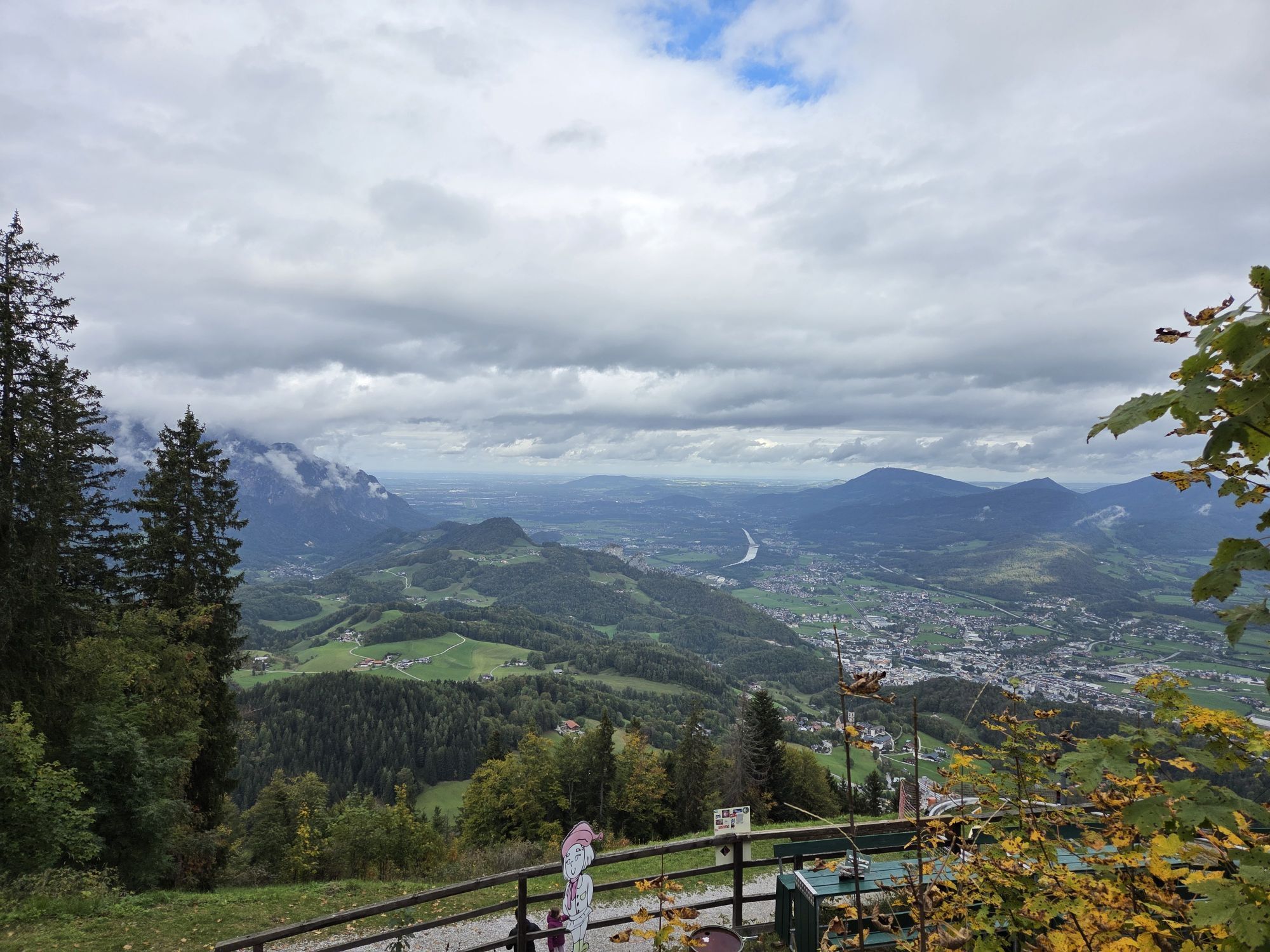
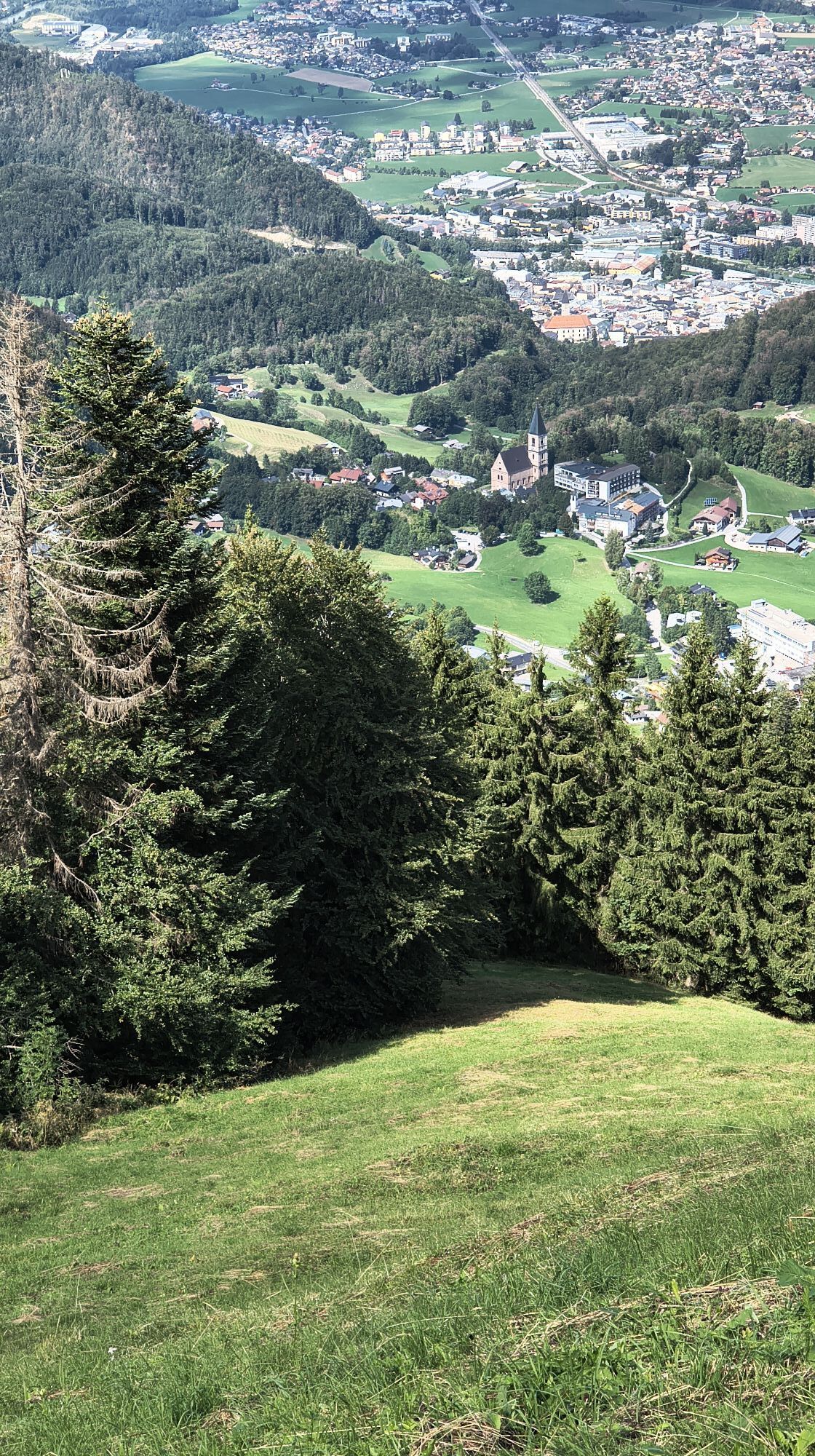
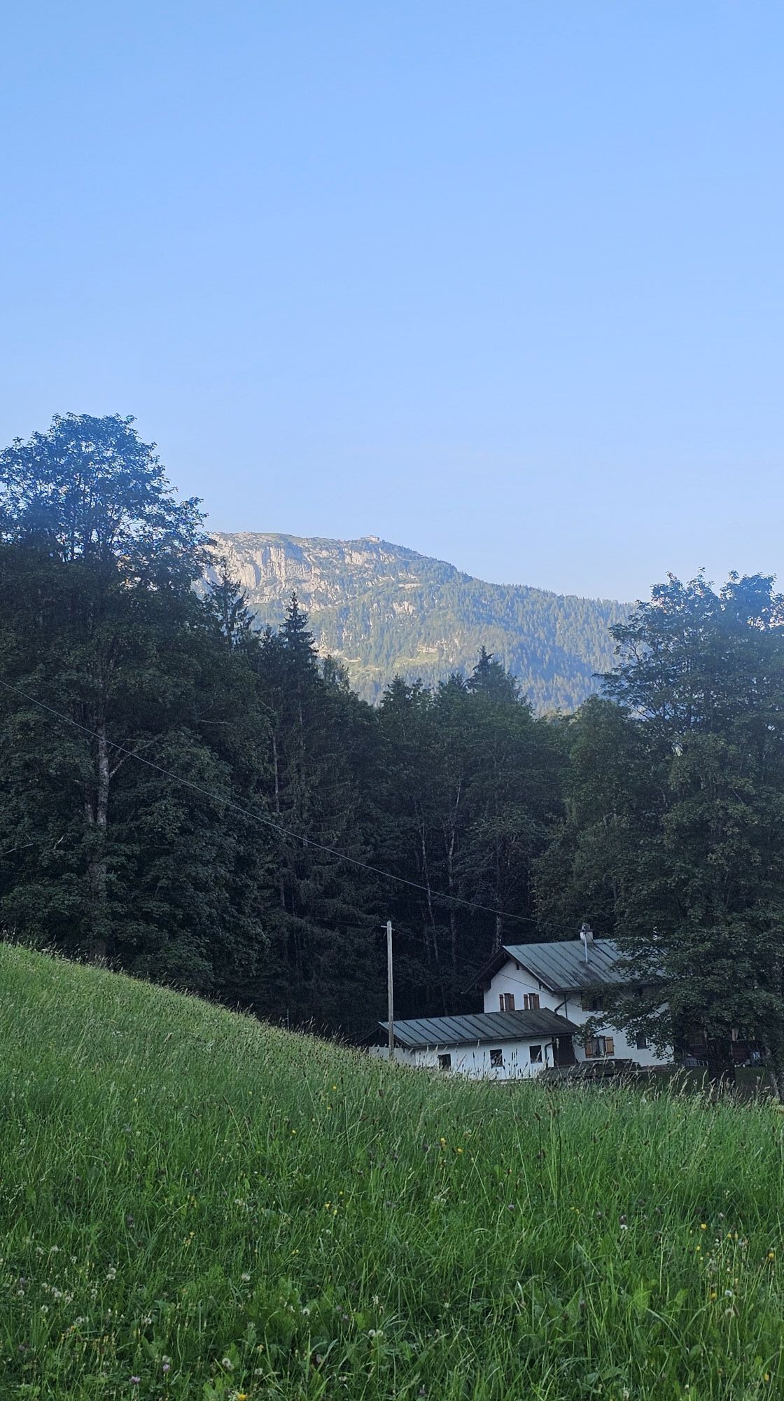
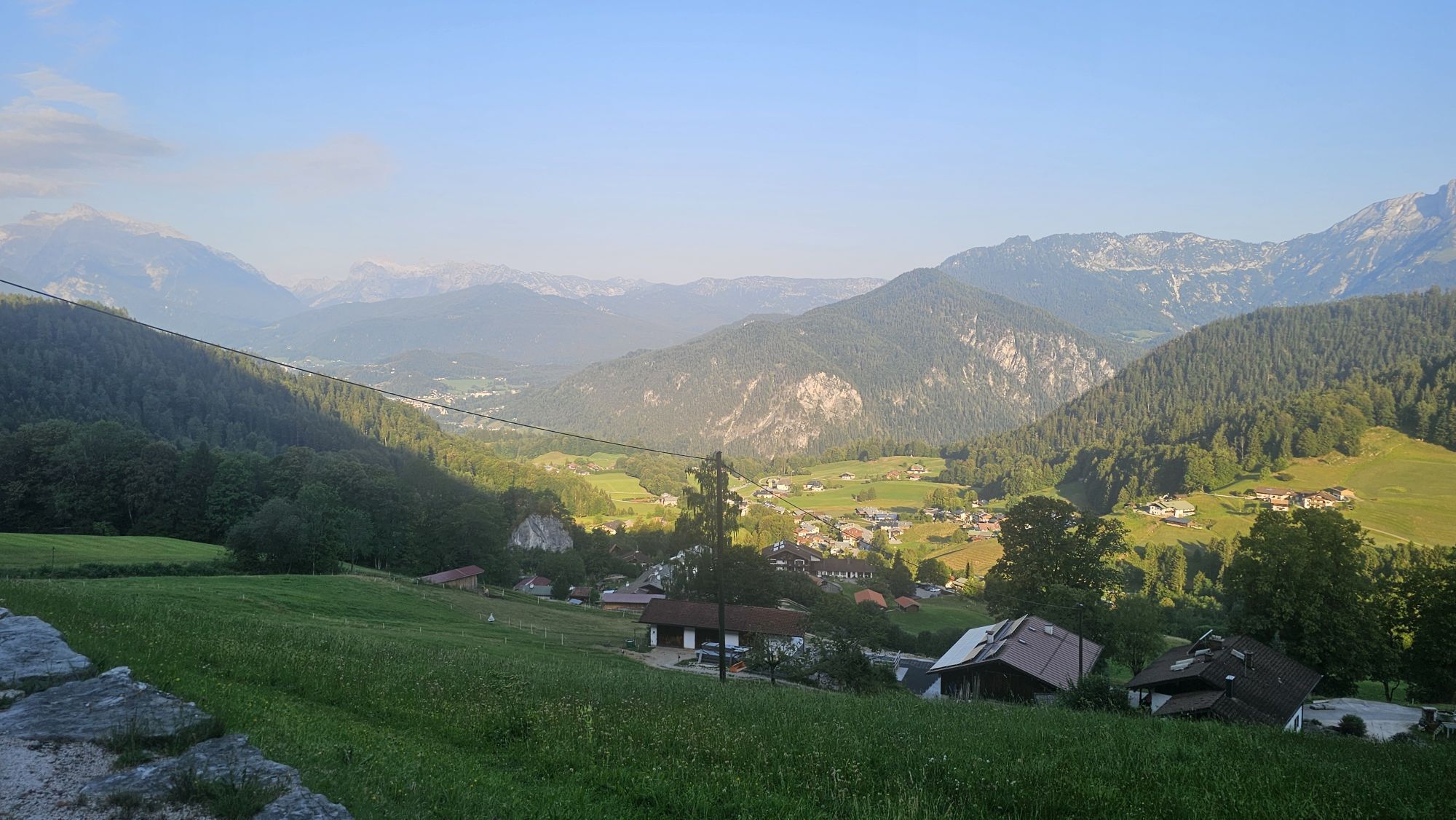
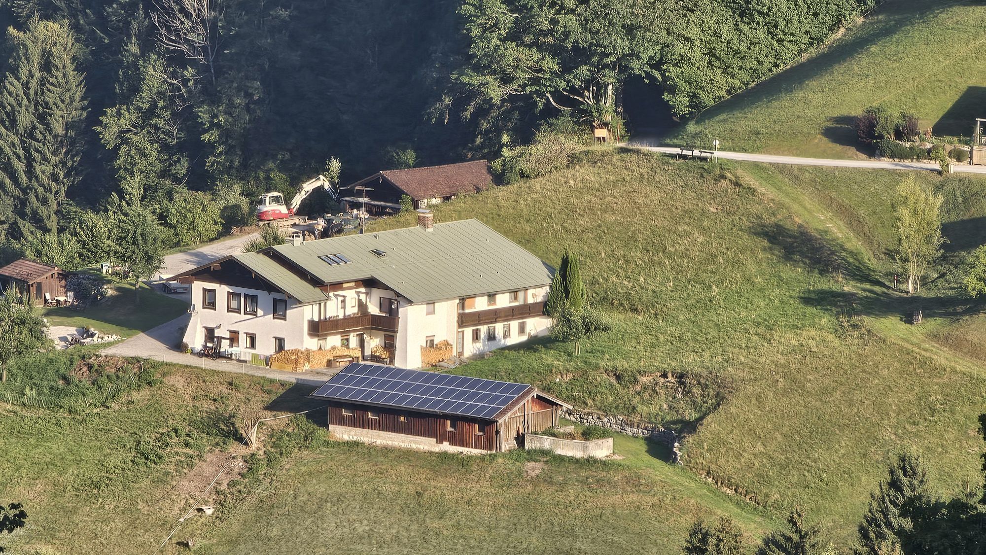
Opposite the information point in Bad Dürrnberg, the route goes steeply uphill along Rumpelgasse (initially still on cleared streets) to the Gmerk border crossing. Shortly after, on the Bavarian side, the so-called "Wasserleitungsweg" branches off to the left. We first follow this path along the edge of the forest, later through the woods always parallel to Roßfeldstraße until the Heißbäck holiday home. At the holiday home, we turn left and then go uphill towards Zinkenkogel. We do not take the path over the "alpine trail" but stay on the forest road, on which we half circle Zinkenkogel and after some time arrive at the cozy Zinkenstüberl.
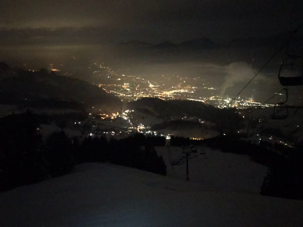
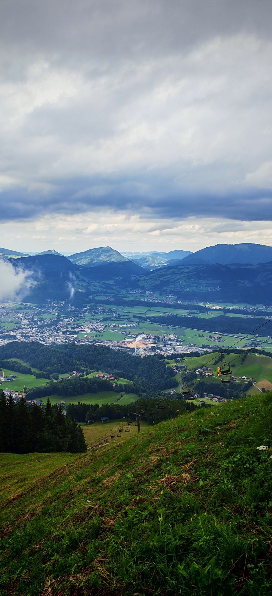
With the chairlift, we can now comfortably gondola down the valley!



Opposite the information point in Bad Dürrnberg, the route goes steeply uphill along Rumpelgasse (initially still on cleared streets) to the Gmerk border crossing. Shortly after, on the Bavarian side, the so-called "Wasserleitungsweg" branches off to the left. We first follow this path along the edge of the forest, later through the woods always parallel to Roßfeldstraße until the Heißbäck holiday home. At the holiday home, we turn left and then go uphill towards Zinkenkogel. We do not take the path over the "alpine trail" but stay on the forest road, on which we half circle Zinkenkogel and after some time arrive at the cozy Zinkenstüberl.
With the chairlift, we can now comfortably gondola down the valley!
Áno
Snowshoes can be rented at the valley station of the Zinken lifts Hallein/Bad Dürrnberg.
https://www.duerrnberg.at/index.php/de/winter/winter-wandern
Attention: Our hiking trails are not cleared in winter!
Please always keep in mind that on the described hikes you are in the mountains, in nature, and partly in alpine terrain.
Our contents have been compiled with great care, but liability is expressly excluded. Dangers can never be completely ruled out and the use of all information and route descriptions is at your own risk!
On the Tauern motorway (A10), take the Hallein exit (Exit 16) in the direction of Hallein center. Follow the signs to Pernerinsel and to Bad Dürrnberg. On Dürrnbergstraße, go uphill to Bad Dürrnberg. Our starting point is on the left side of the road (parking lot Zinken lifts).
By train to Hallein station, then by bus No. 41 towards Bad Dürrnberg (stop Zinkenlift).
Parking lot Zinken lifts
Be sure to try the Kasnocken at Zinkenstüberl!
Webové kamery z prehliadky

Obľúbené výlety v okolí
-
4,7
Schwarzer Berg / Golling
strednáTuristika 2,54 km -
4,6
Kneifelspitze
Turistika 2,53 km -
4,1
Malerwinkel Rundwanderweg
svetloTuristika 3,60 km -
4,2
Durch die Almbachklamm nach Ettenberg
Turistika 7,54 km -
4,5
Grünstein
svetloTuristika 2,57 km -
4,3
Untersberg, Toni-Lenz-Hütte
Turistika 4,86 km -
4,0
Rundwanderweg zur Steinernen Agnes
Turistika 9 km -
4,7
Great and Small Barmstein, the landmarks of Hallein
ťažkéTuristika 6,58 km -
4,1
Soleleitungsweg
Turistika 10,5 km -
4,9
Untersberg (Salzburger Hochthron)
strednáTuristika 11,8 km
Turistika a stopovanie


Nenechajte si ujsť ponuky a inšpiráciu na ďalšiu dovolenku
Vaša e-mailová adresa bol pridaný do poštového zoznamu.


