


From Adnet-Waidach to Schlenken


Fotografie našich používateľov
-
 © Lizz ZzyVytvorené dňa 15.08.2024
 -
 © Lizz ZzyVytvorené dňa 15.08.2024
 -
 © Lizz ZzyVytvorené dňa 15.08.2024
 -

 © Philip WeihsVytvorené dňa 03.08.2024
 -
 © jsVytvorené dňa 18.09.2025
 -
 © jsVytvorené dňa 18.09.2025
 -
 © ReginaStVytvorené dňa 06.09.2025
 -
 © ReginaStVytvorené dňa 06.09.2025
 -
 © ReginaStVytvorené dňa 06.09.2025
 -
 © ReginaStVytvorené dňa 06.09.2025
 -
 © Enkidu55Vytvorené dňa 29.06.2025
 -
 © Enkidu55Vytvorené dňa 29.06.2025
 -
 © Enkidu55Vytvorené dňa 15.06.2025
 -
 © Enkidu55Vytvorené dňa 15.06.2025
 -
 © Enkidu55Vytvorené dňa 15.06.2025
 -
 © Enkidu55Vytvorené dňa 15.06.2025
 -
 © Enkidu55Vytvorené dňa 15.06.2025
 -
 © Enkidu55Vytvorené dňa 15.06.2025
 -
 © Heinz SperlVytvorené dňa 31.05.2025
 -
 © Maria PetraVytvorené dňa 20.05.2025
 -

 © SFKVytvorené dňa 01.05.2025
 -
 © SFKVytvorené dňa 01.05.2025
 -
 © SFKVytvorené dňa 01.05.2025
 -
 © SFKVytvorené dňa 01.05.2025
 -
 © SFKVytvorené dňa 01.05.2025
 -
 © SFKVytvorené dňa 01.05.2025
 -
 © SFKVytvorené dňa 01.05.2025
 -
 © Domenic SchmidtVytvorené dňa 30.04.2025
 -
 © Domenic SchmidtVytvorené dňa 30.04.2025
 -
 © Domenic SchmidtVytvorené dňa 30.04.2025
 -
 © Domenic SchmidtVytvorené dňa 30.04.2025
 -
 © Domenic SchmidtVytvorené dňa 30.04.2025
 -
 © Domenic SchmidtVytvorené dňa 30.04.2025
 -
 © Domenic SchmidtVytvorené dňa 30.04.2025
 -
 © Domenic SchmidtVytvorené dňa 30.04.2025
 -
 © Domenic SchmidtVytvorené dňa 30.04.2025
 -
 © Domenic SchmidtVytvorené dňa 30.04.2025
 -
 © Domenic SchmidtVytvorené dňa 30.04.2025
 -
 © Domenic SchmidtVytvorené dňa 30.04.2025
 -

 © MoroVytvorené dňa 07.03.2025
 -
 © MoroVytvorené dňa 07.03.2025
 -
 © MoroVytvorené dňa 07.03.2025
 -
 © MoroVytvorené dňa 07.03.2025
 -
 © MoroVytvorené dňa 07.03.2025
 -
 © MoroVytvorené dňa 07.03.2025
 -
 © Lehel AntalVytvorené dňa 15.02.2025
 -
 © Lehel AntalVytvorené dňa 15.02.2025
 -
 © Heinz SperlVytvorené dňa 17.11.2024

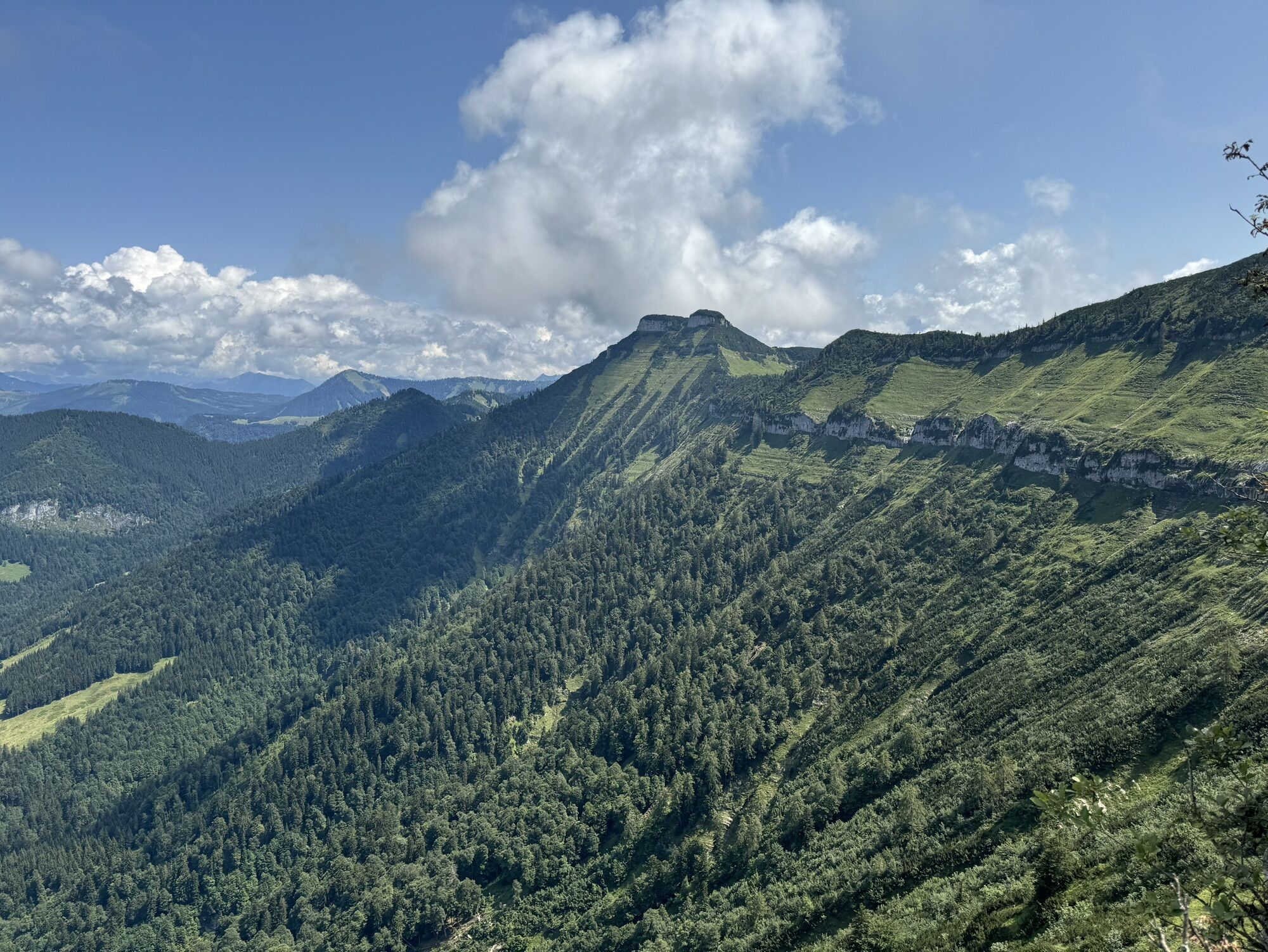


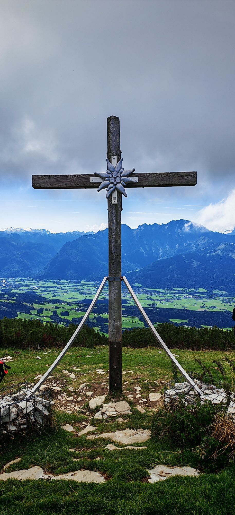
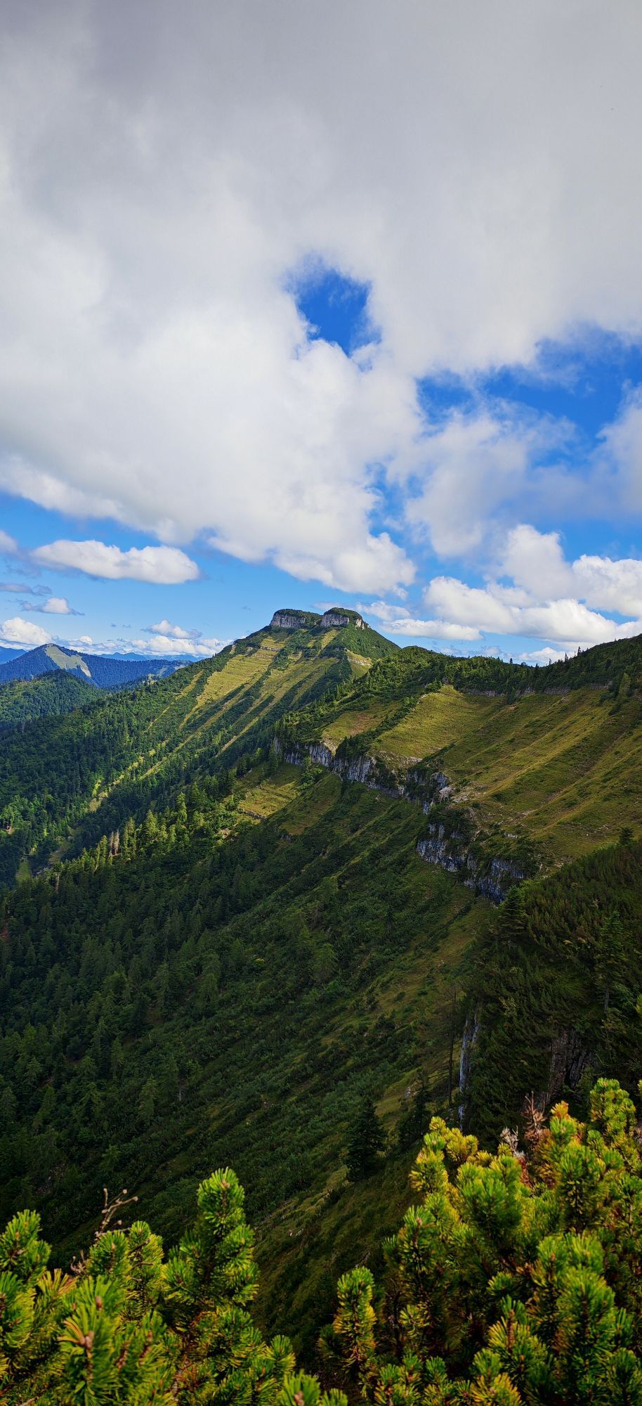
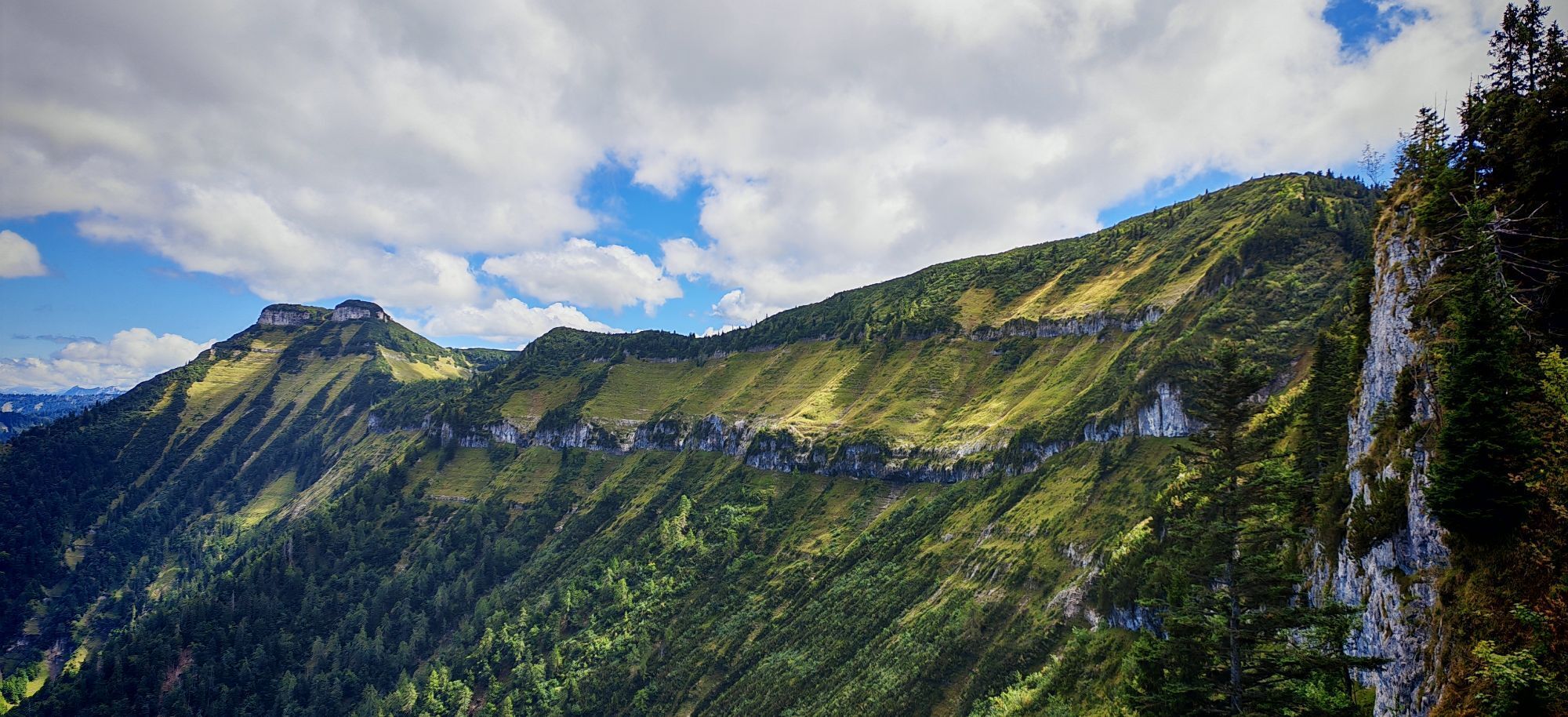
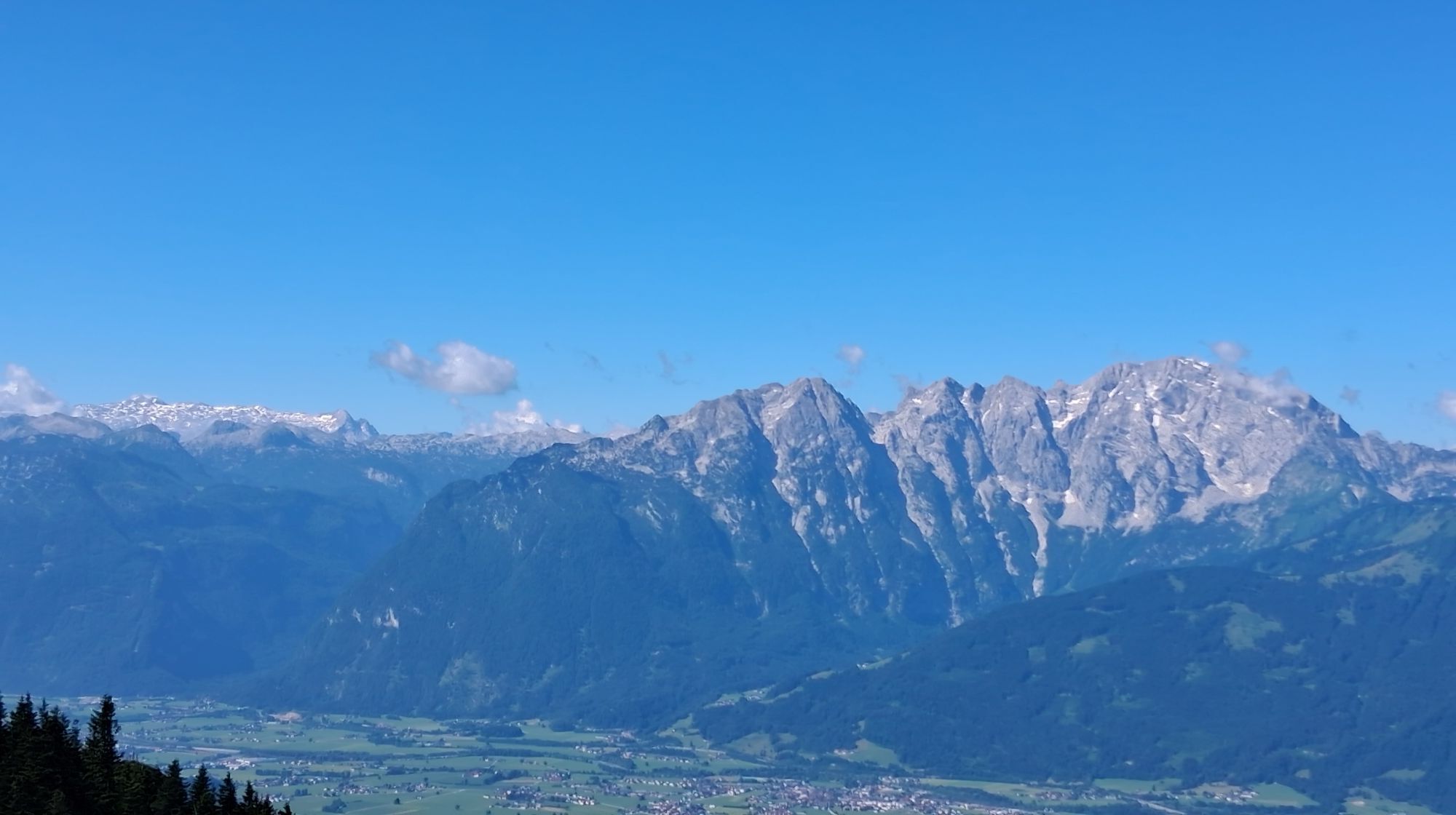
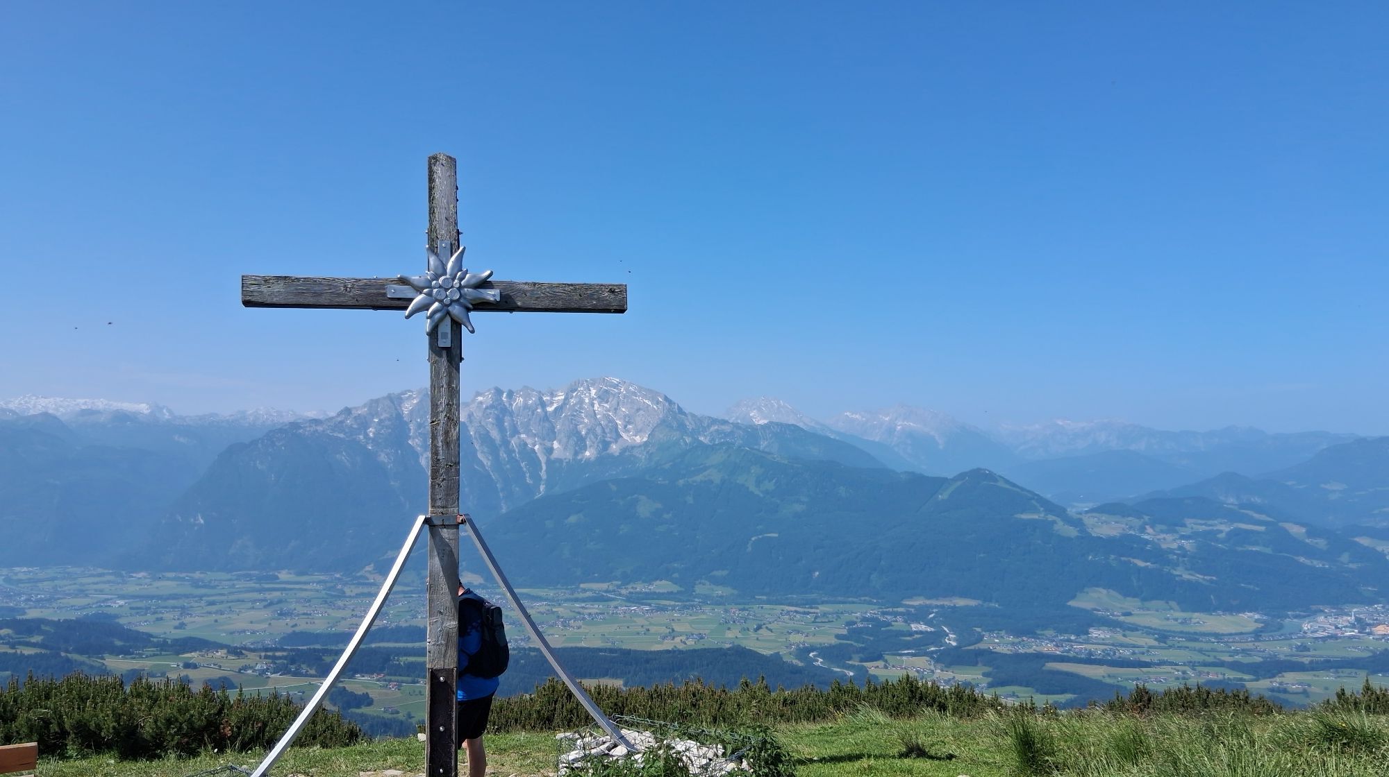
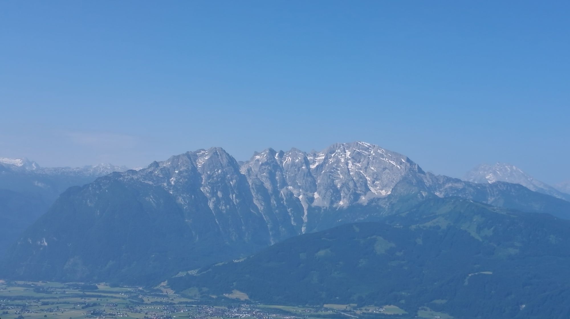
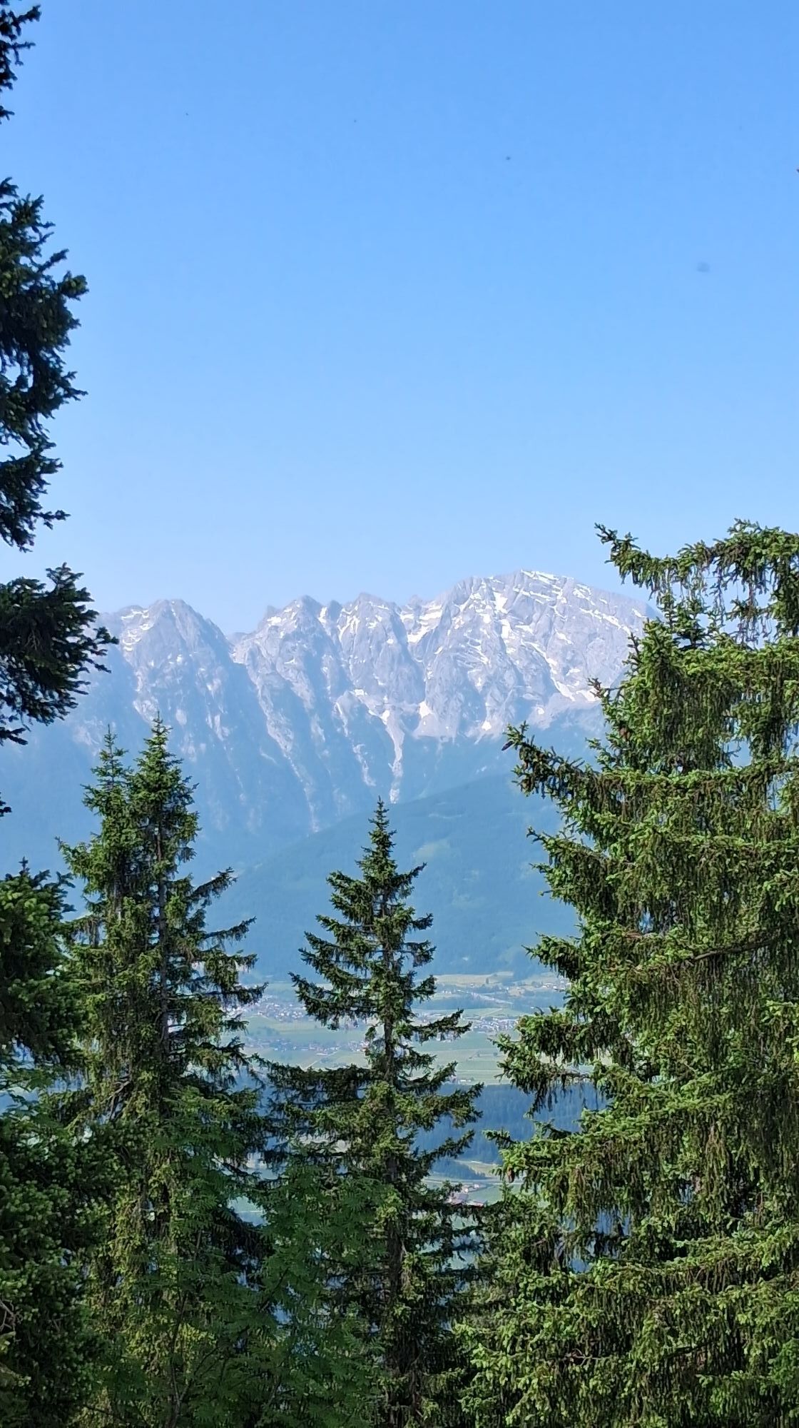


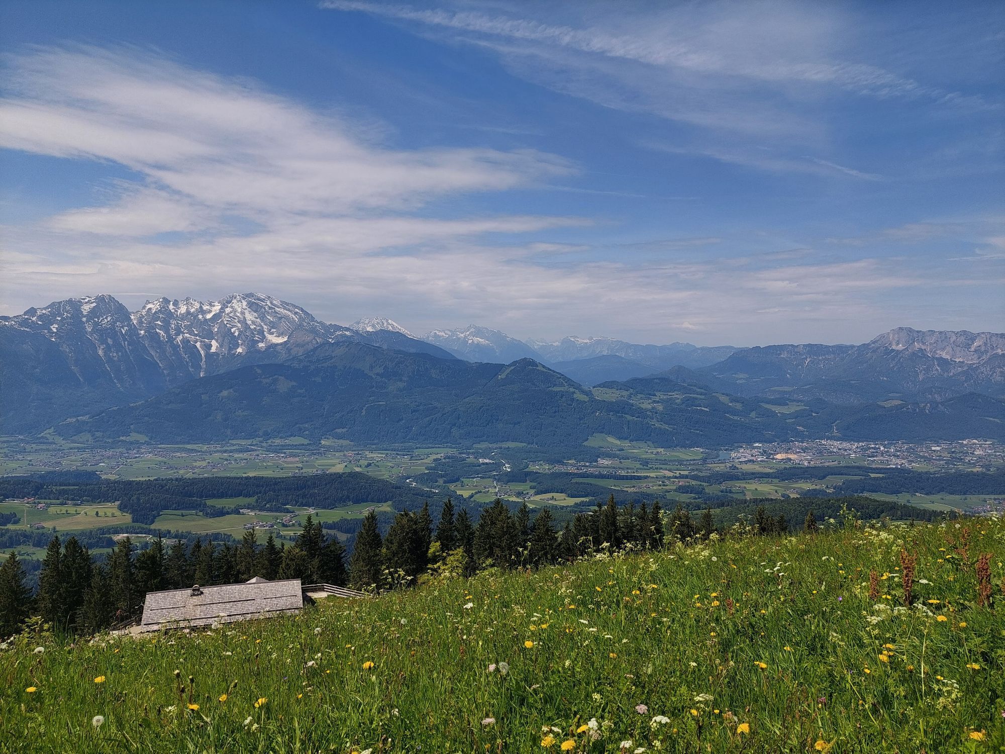

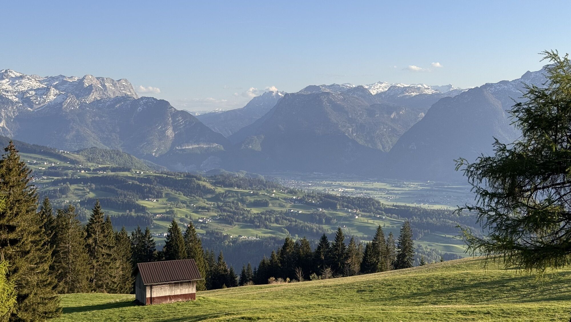
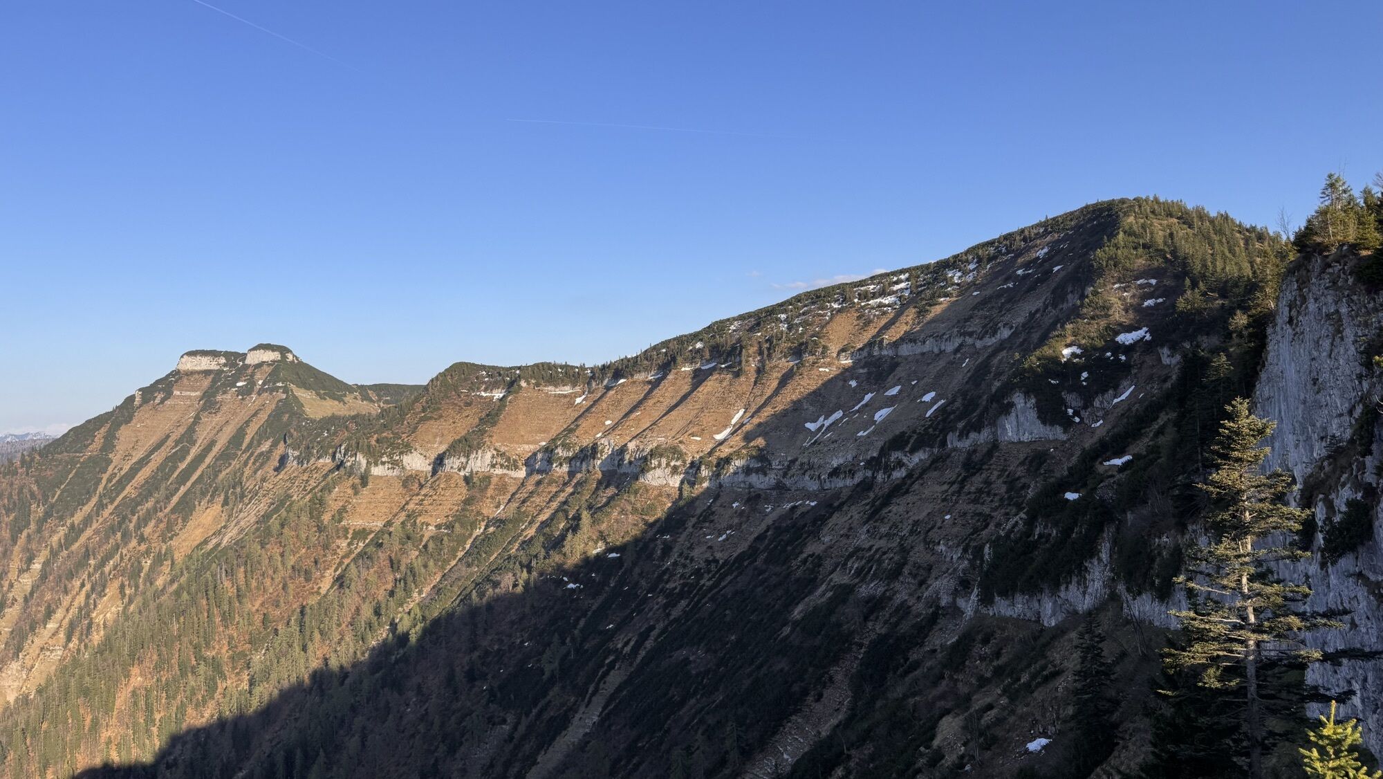


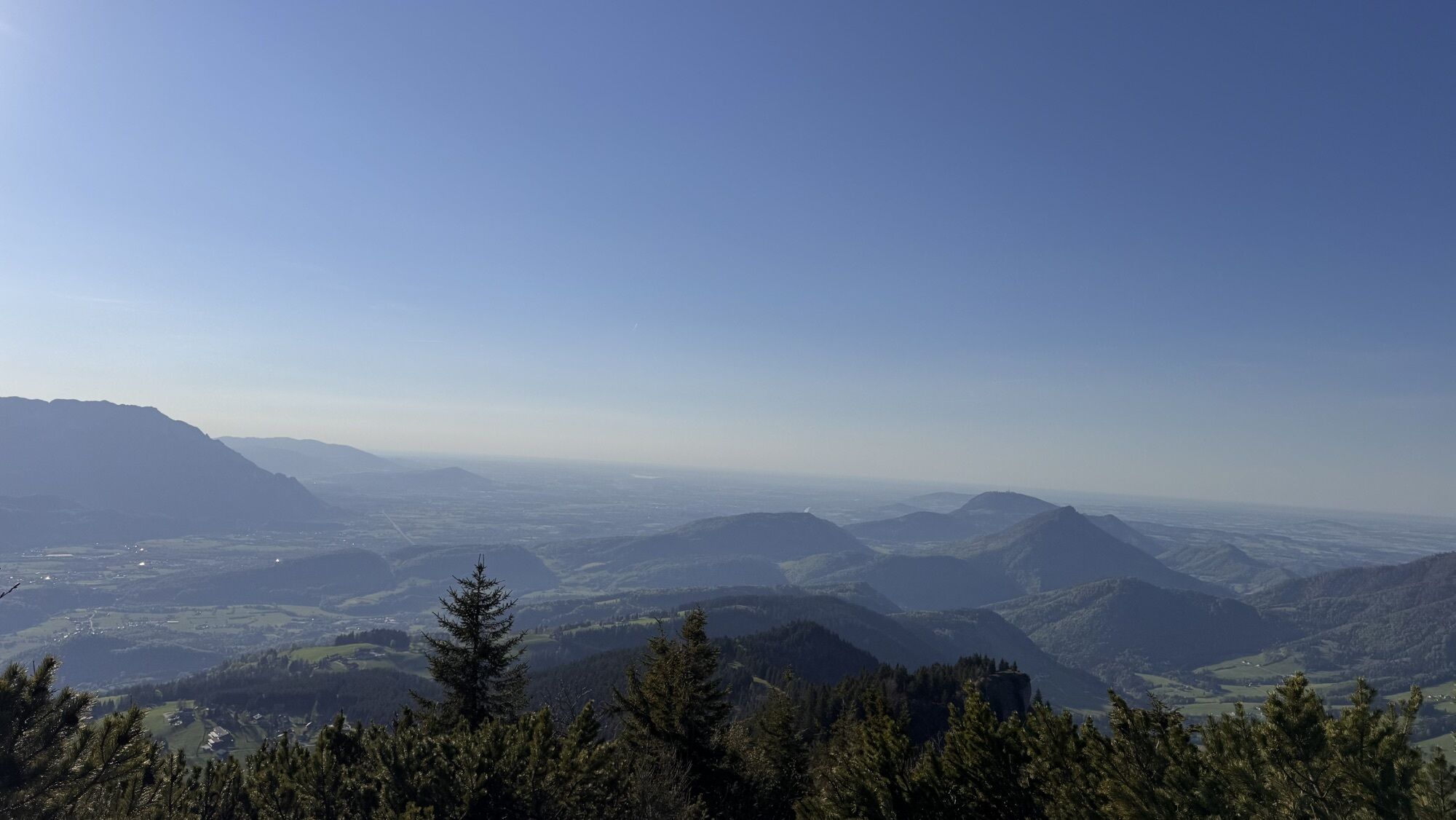
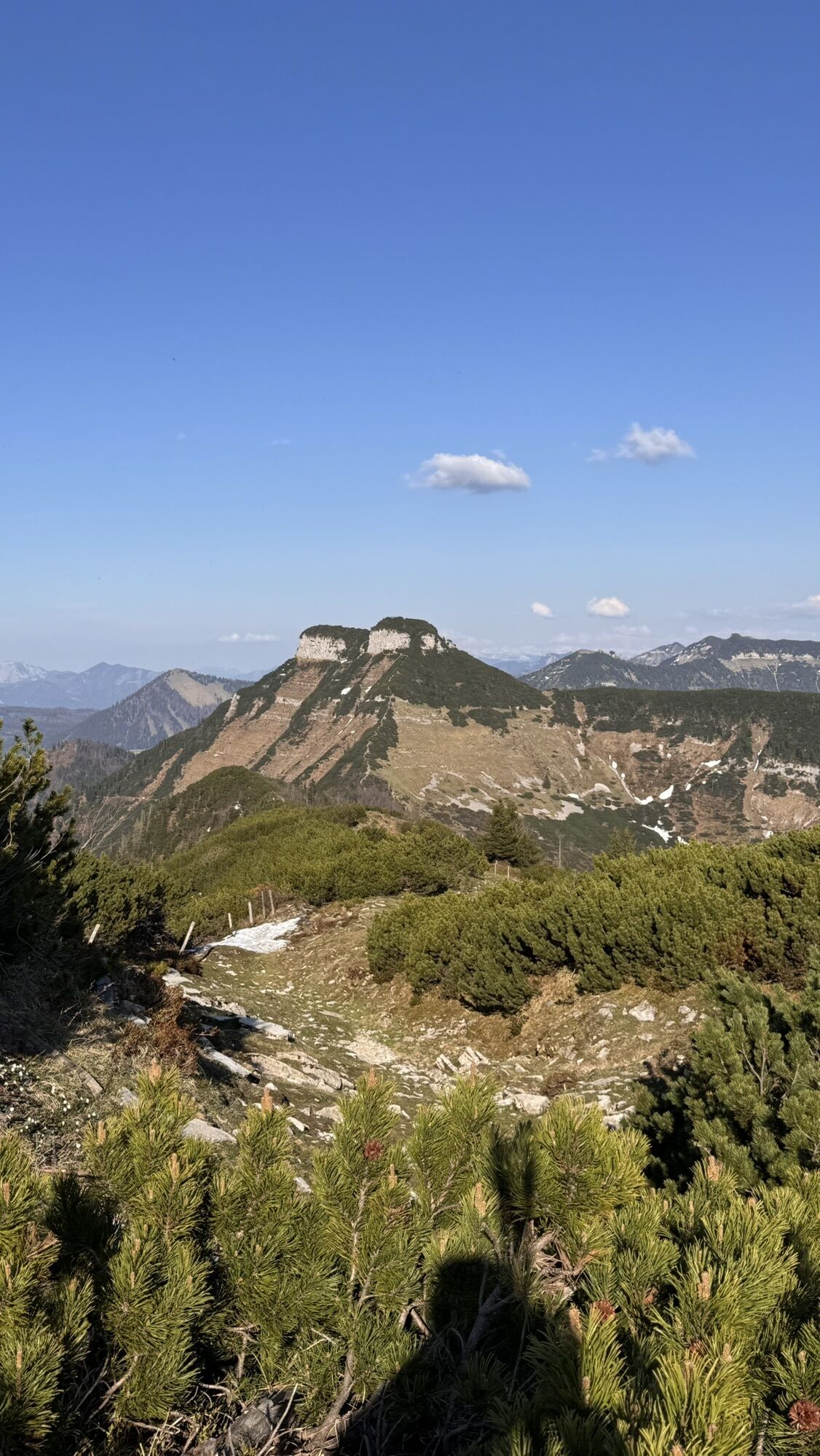

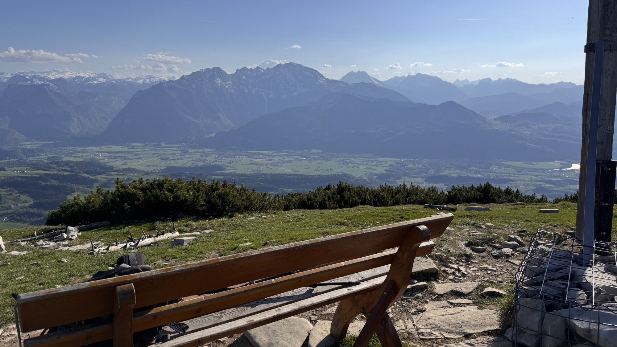

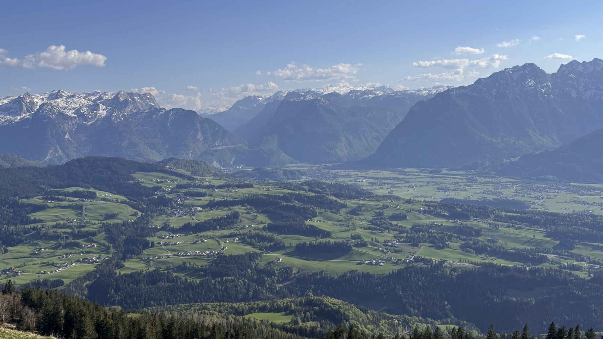

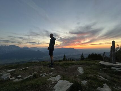
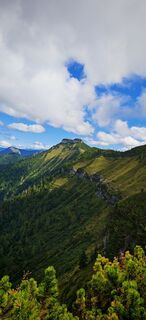
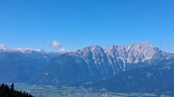
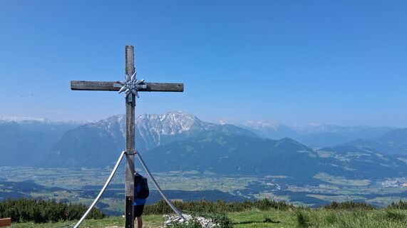
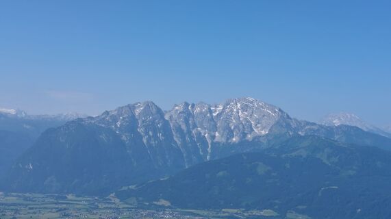
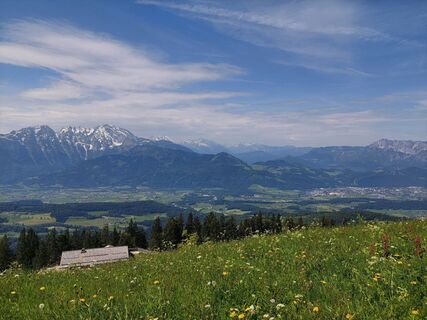
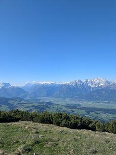
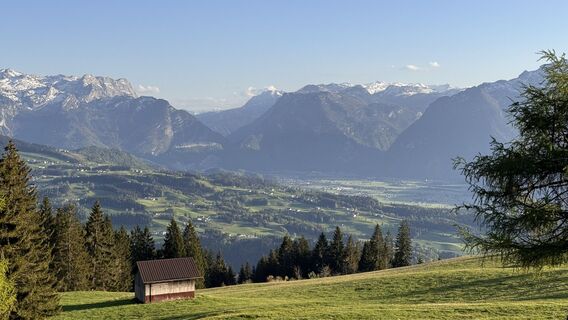
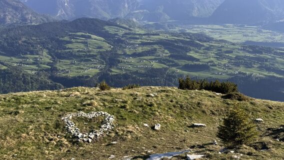
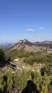
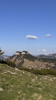
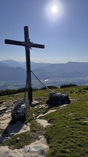
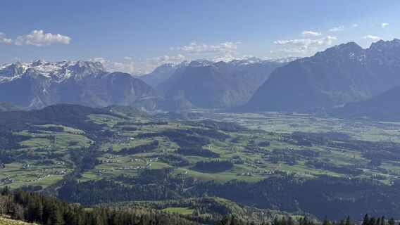
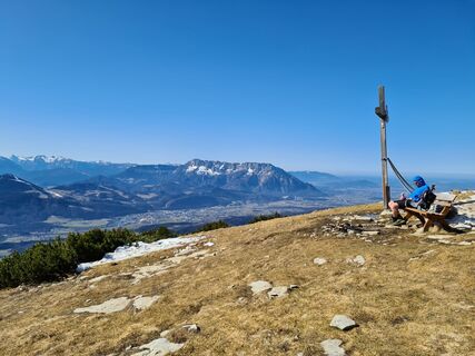
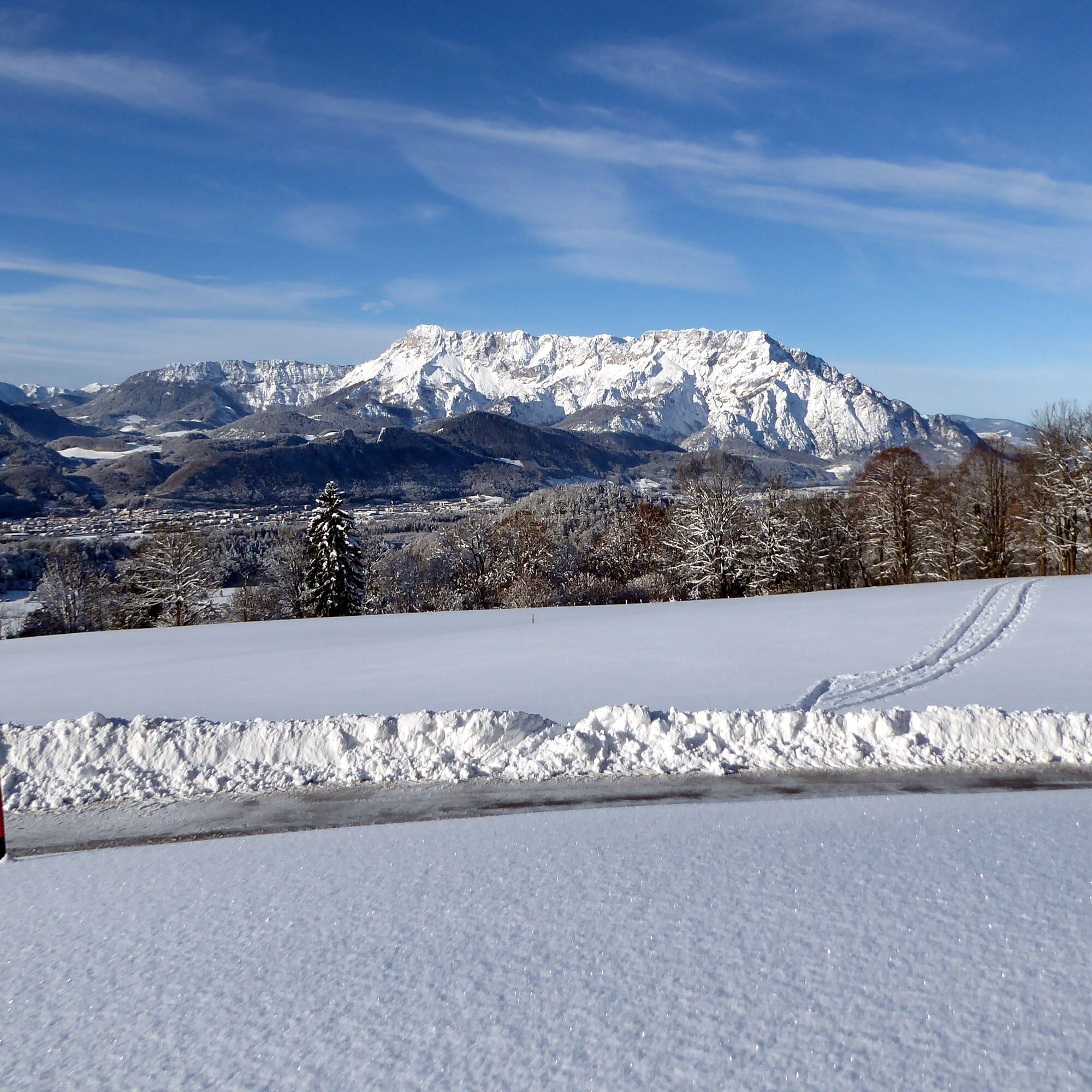
Anyone traveling in the Salzach Valley between Golling and Anif can hardly miss the shapely Schlenken (1648 m) on the eastern side of the valley. The sun-drenched southwest slopes are a popular hiking...
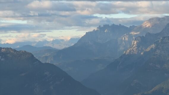
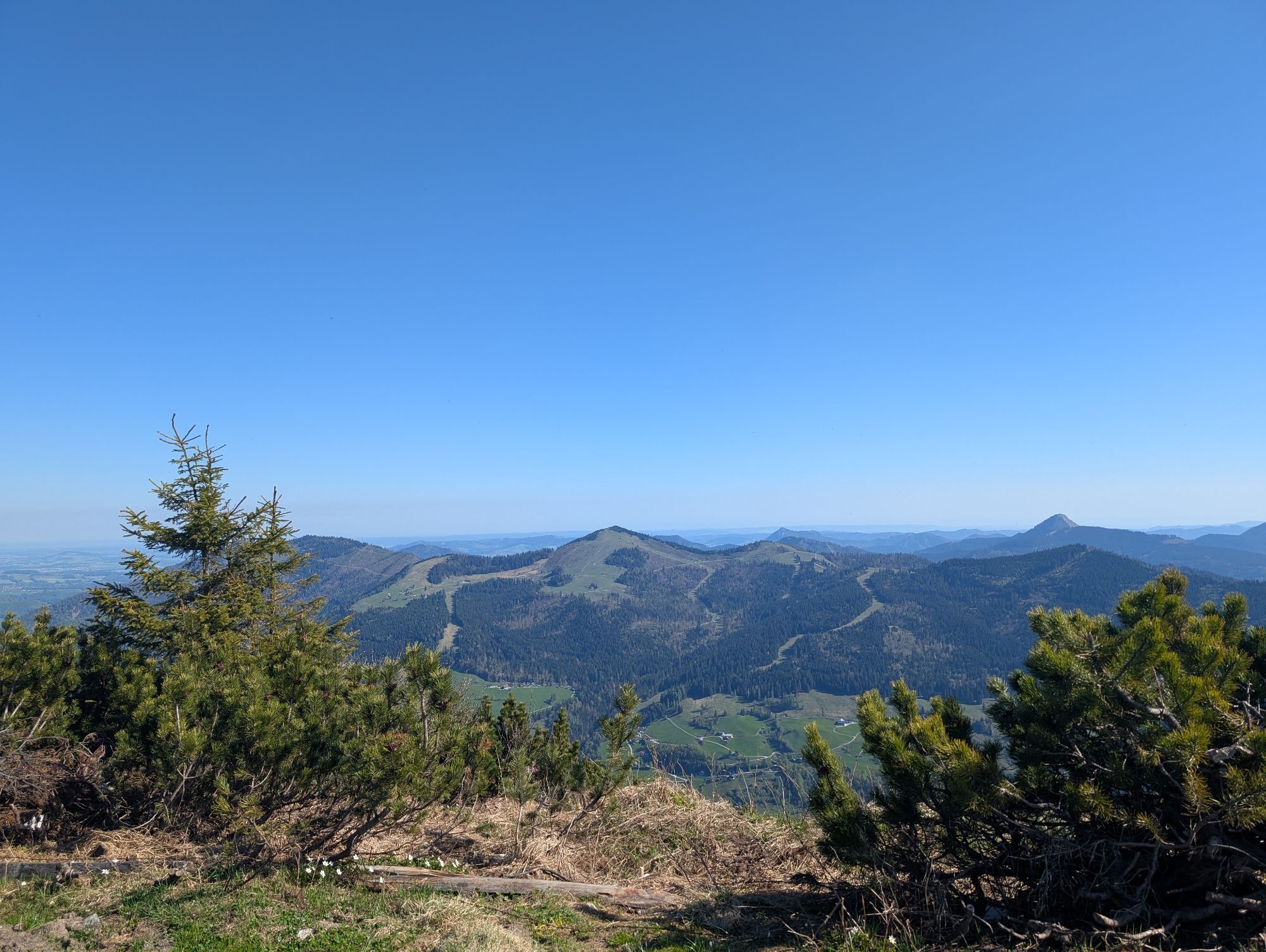
Anyone traveling in the Salzach Valley between Golling and Anif can hardly miss the shapely Schlenken (1648 m) on the eastern side of the valley. The sun-drenched southwest slopes are a popular hiking destination especially in autumn, in winter this almost obstacle-free summit slope magically attracts the attention of ski tourers. Two heavily frequented main ascent routes, from the Bergasthof Zillreith (1116 m) and from the roughly equally high starting point Rengerberg, lead to the summit.
Between these two almost always tracked routes runs a less known ascent, which begins in the Adnet-Waidach district. More time must be taken for this route. Not only because the starting point is nearly 600 meters lower in altitude, but also because this magnificent rural cultural landscape in the Spumberg district has so much to discover. Provided the snow conditions are right, an extremely worthwhile ski tour variant!

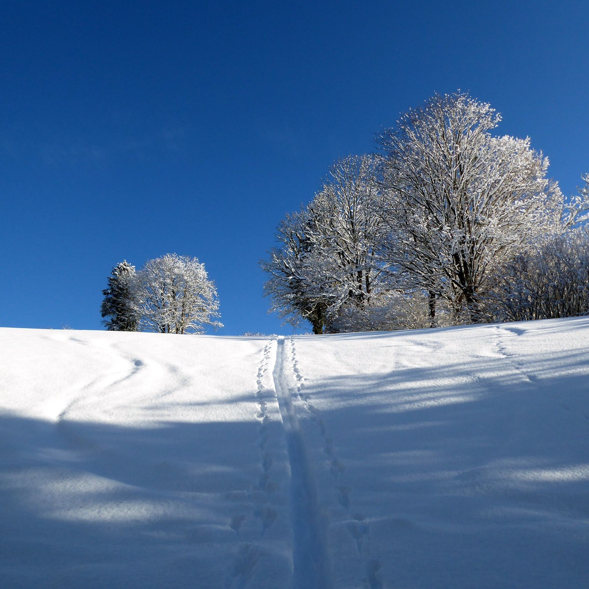
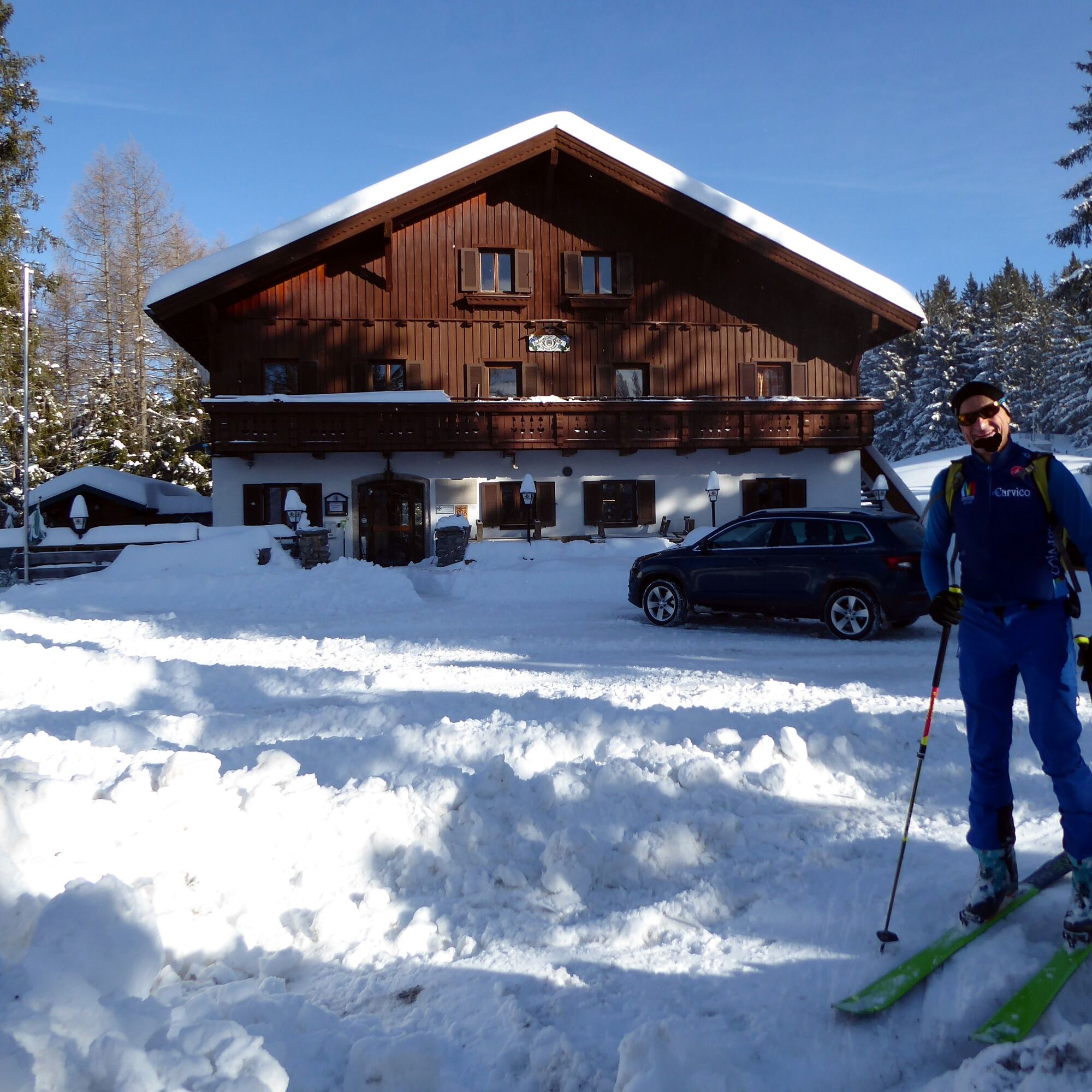
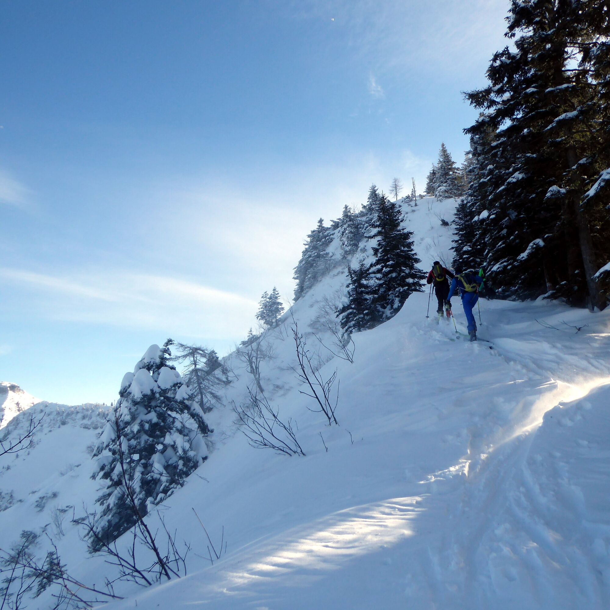
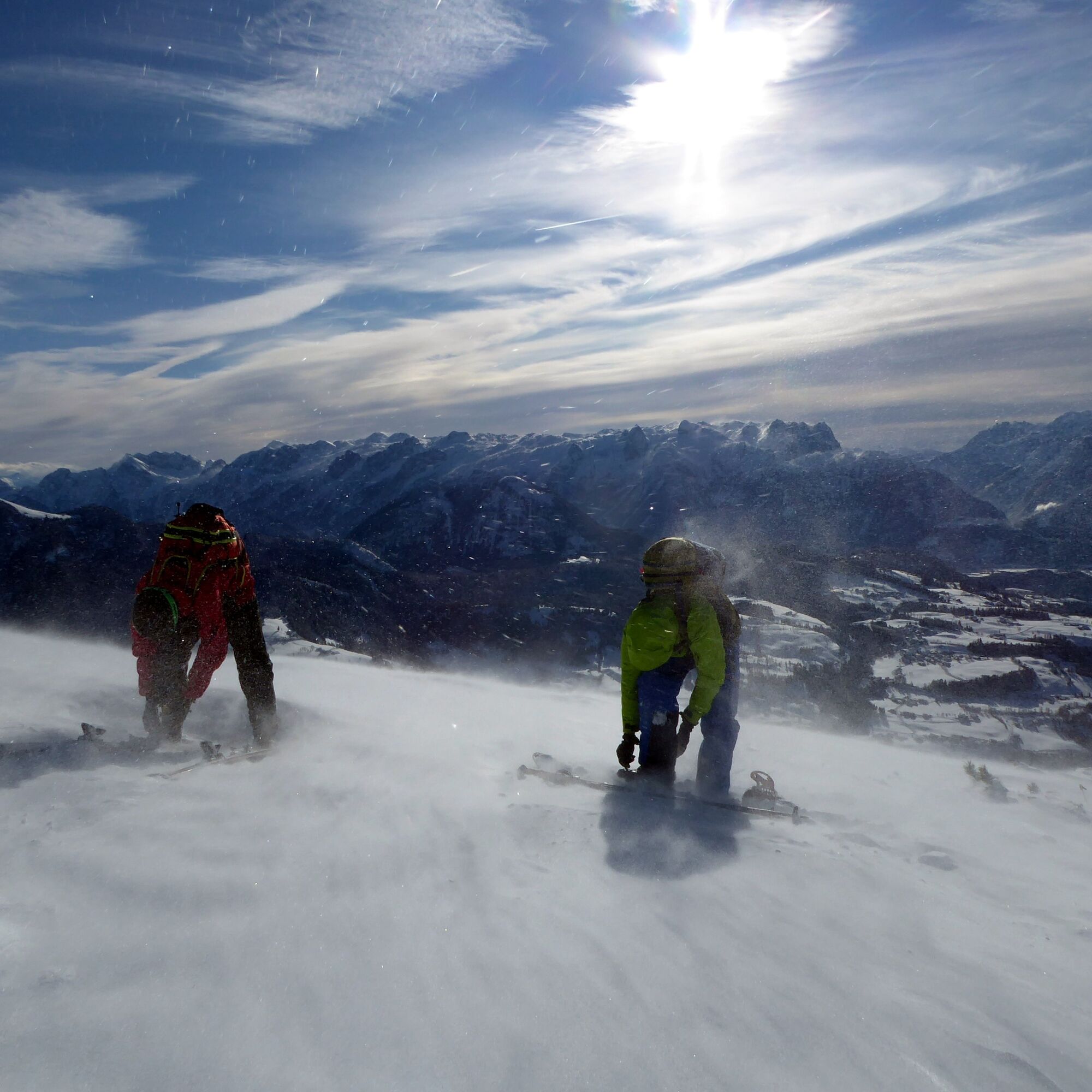
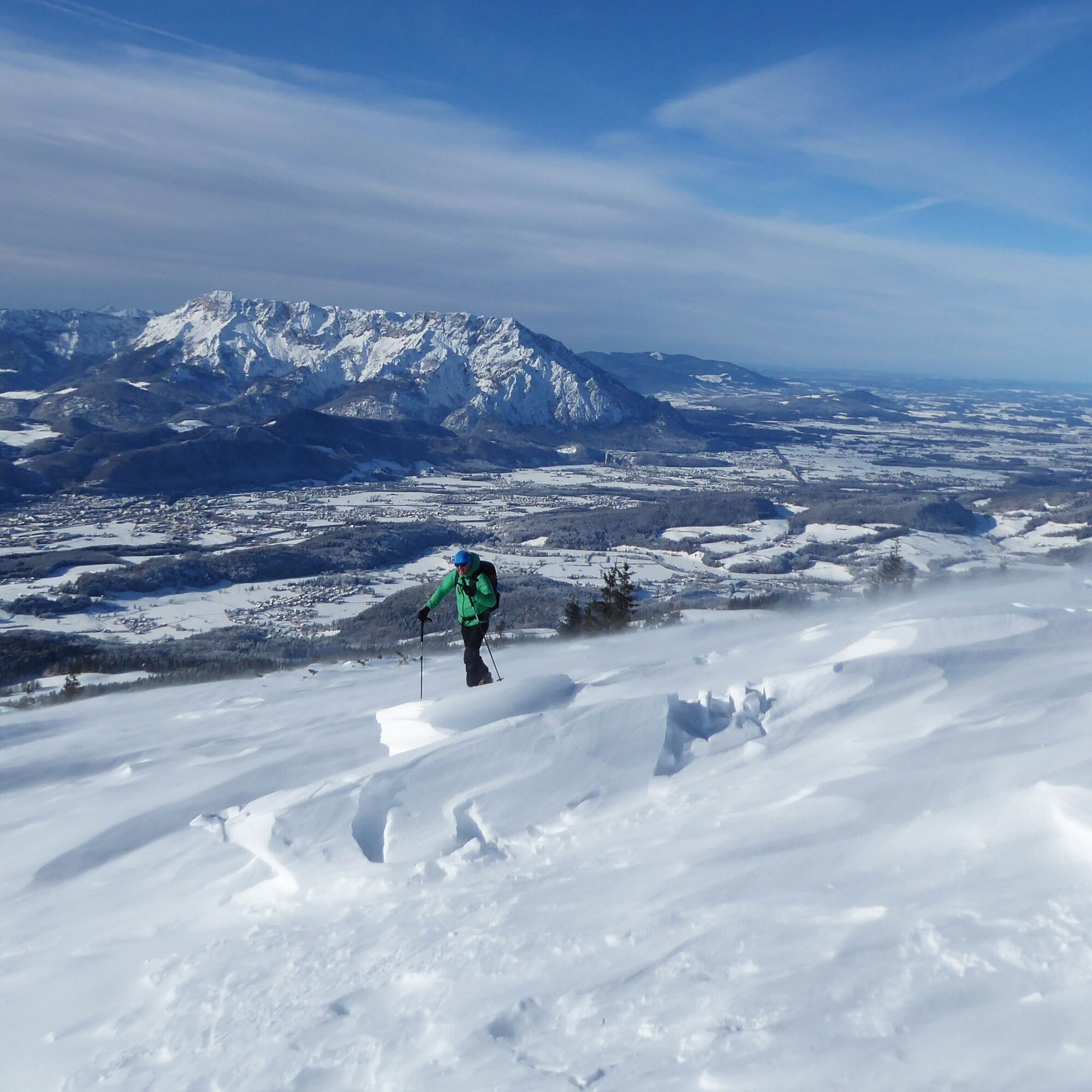
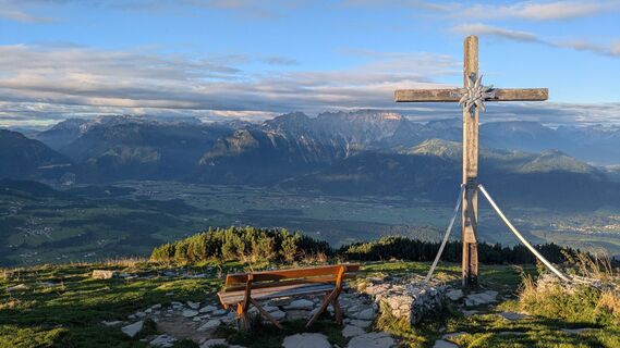
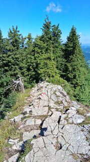
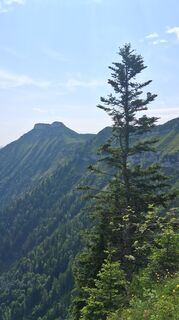
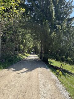
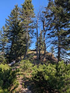
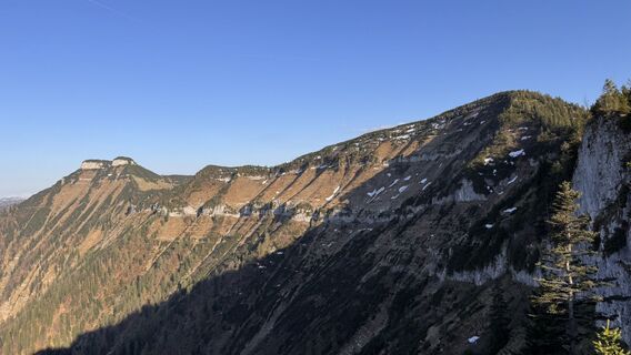
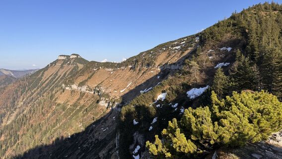
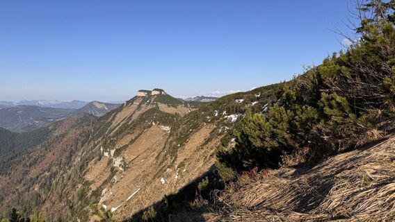
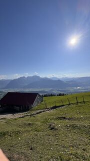
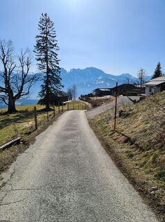
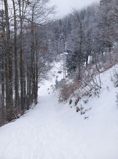
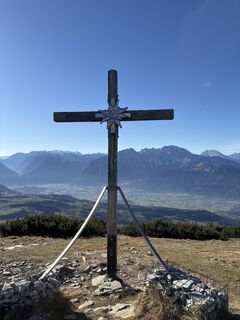
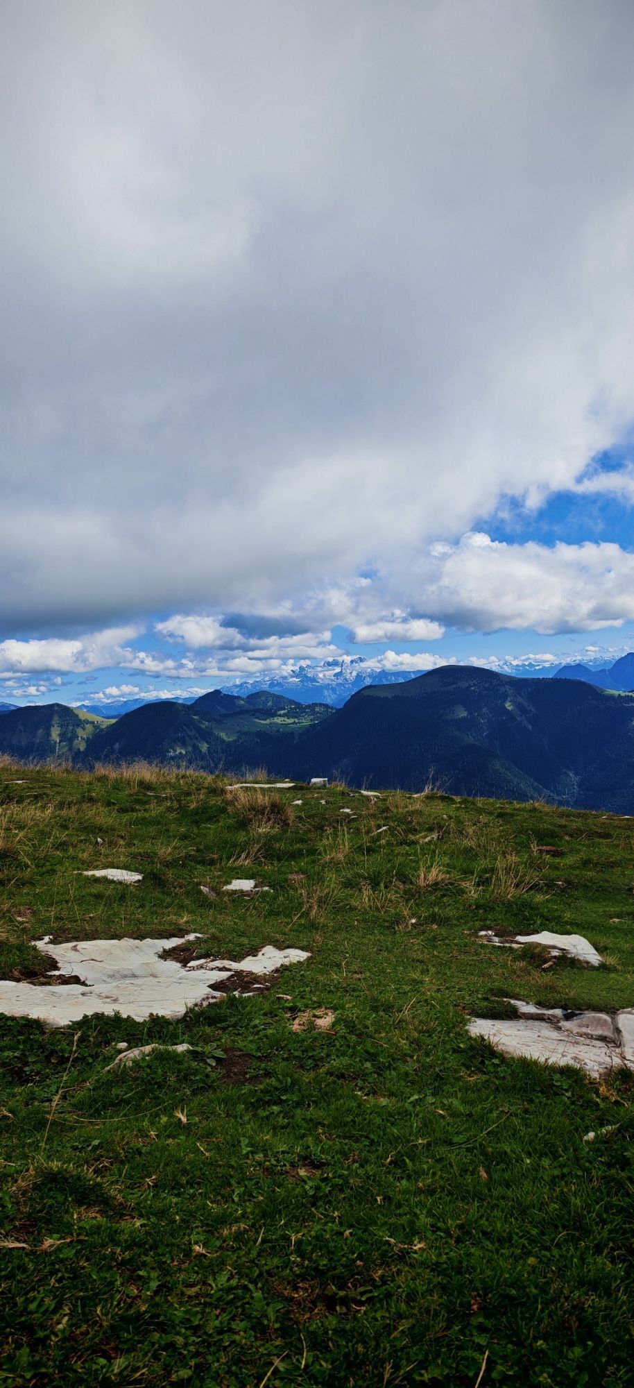
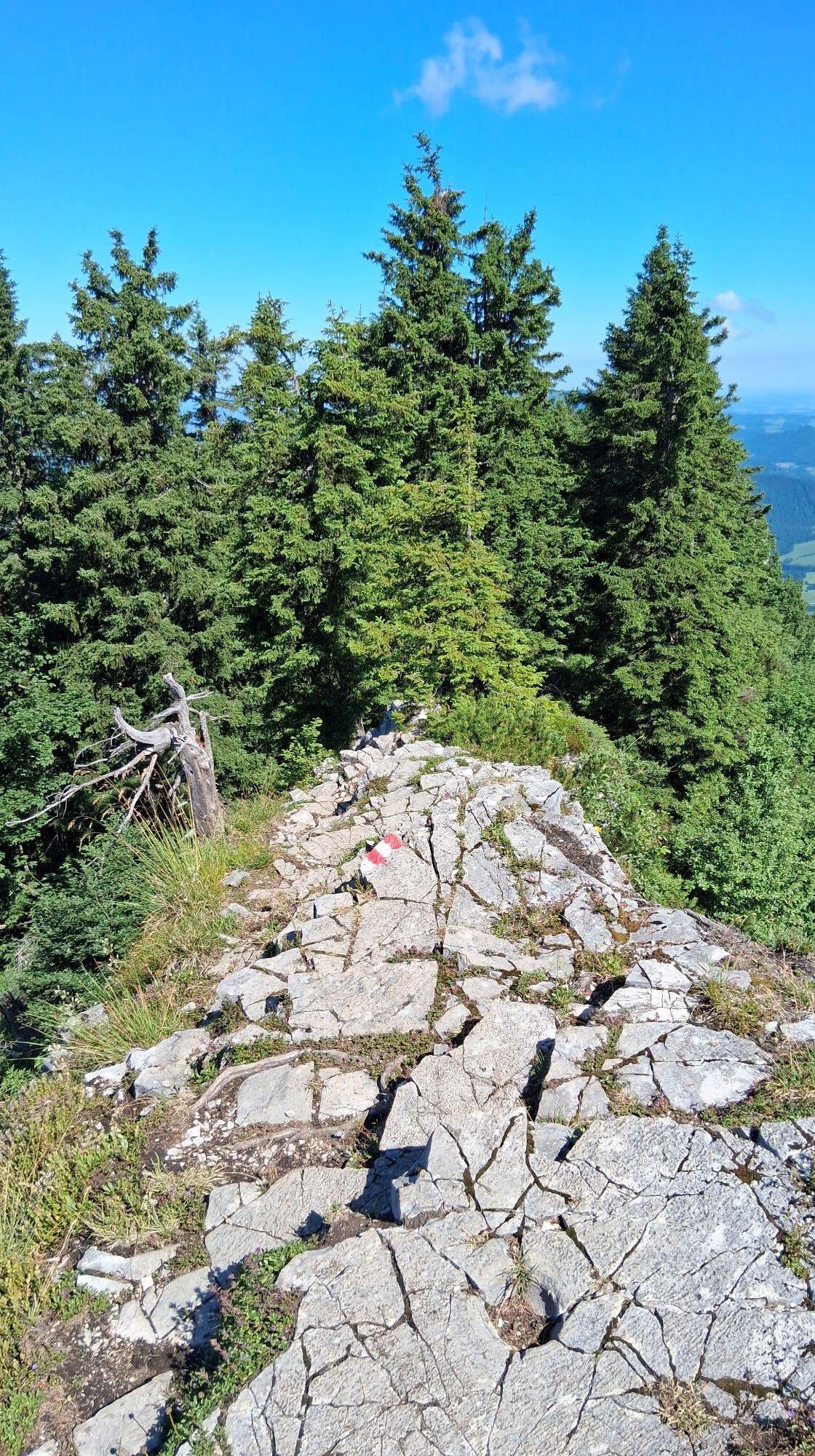
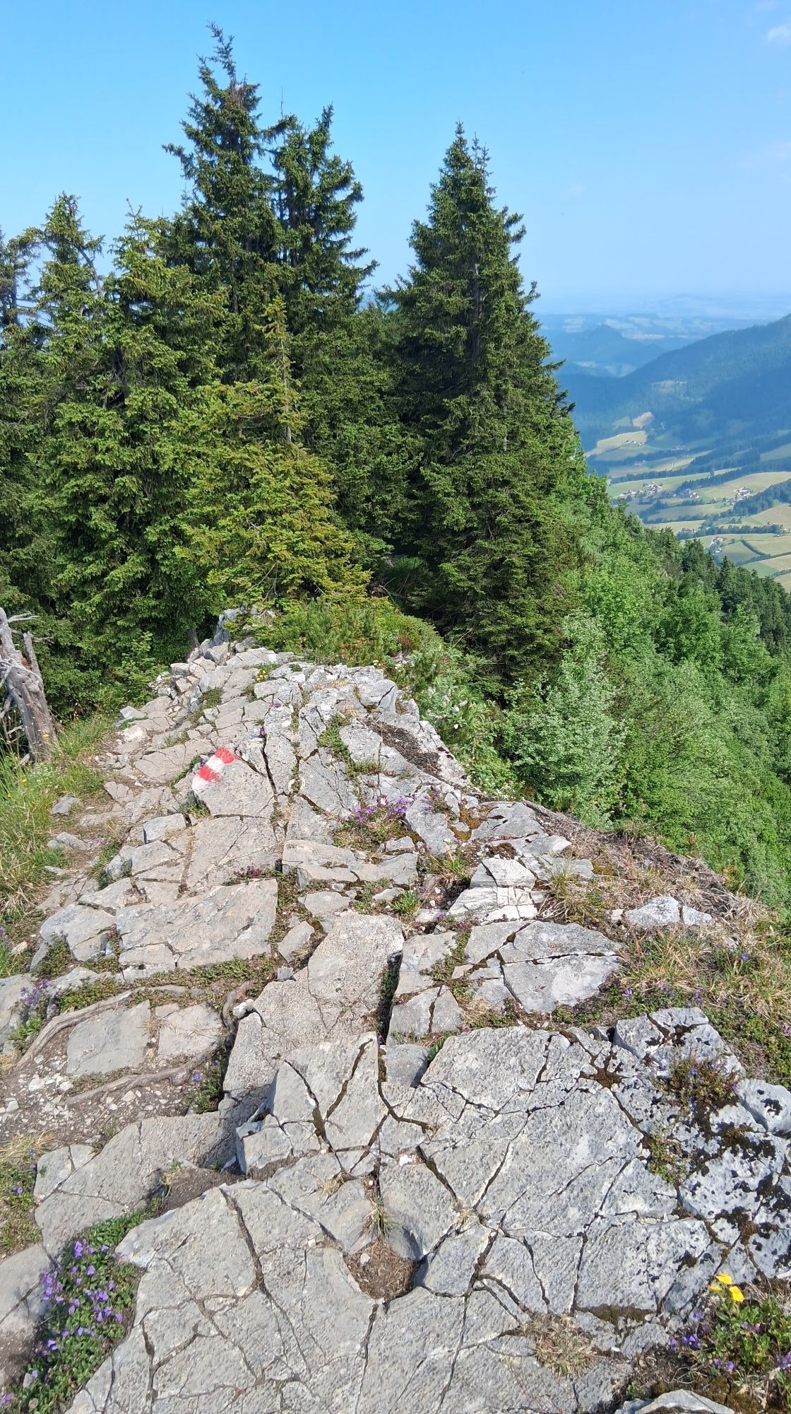
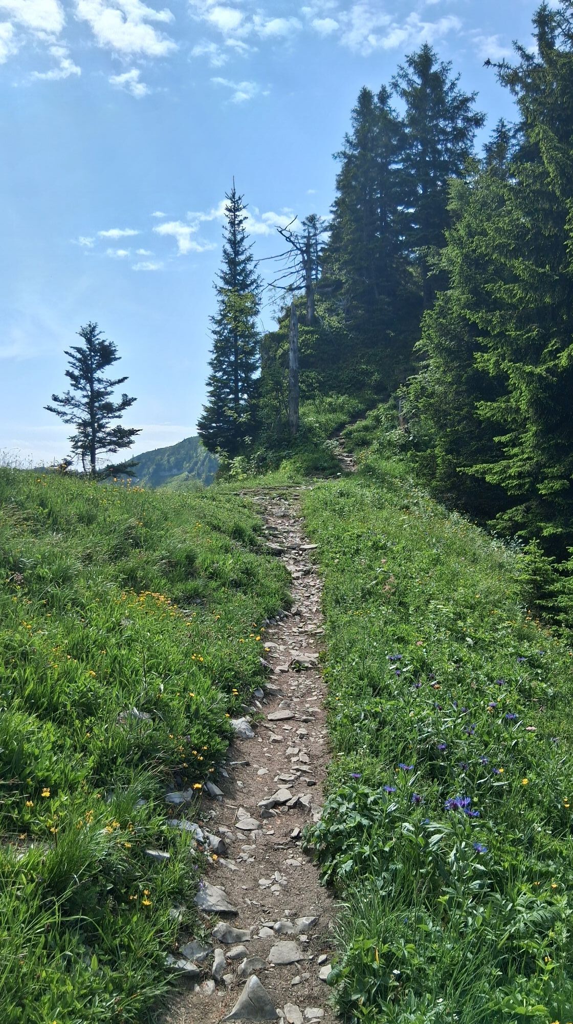
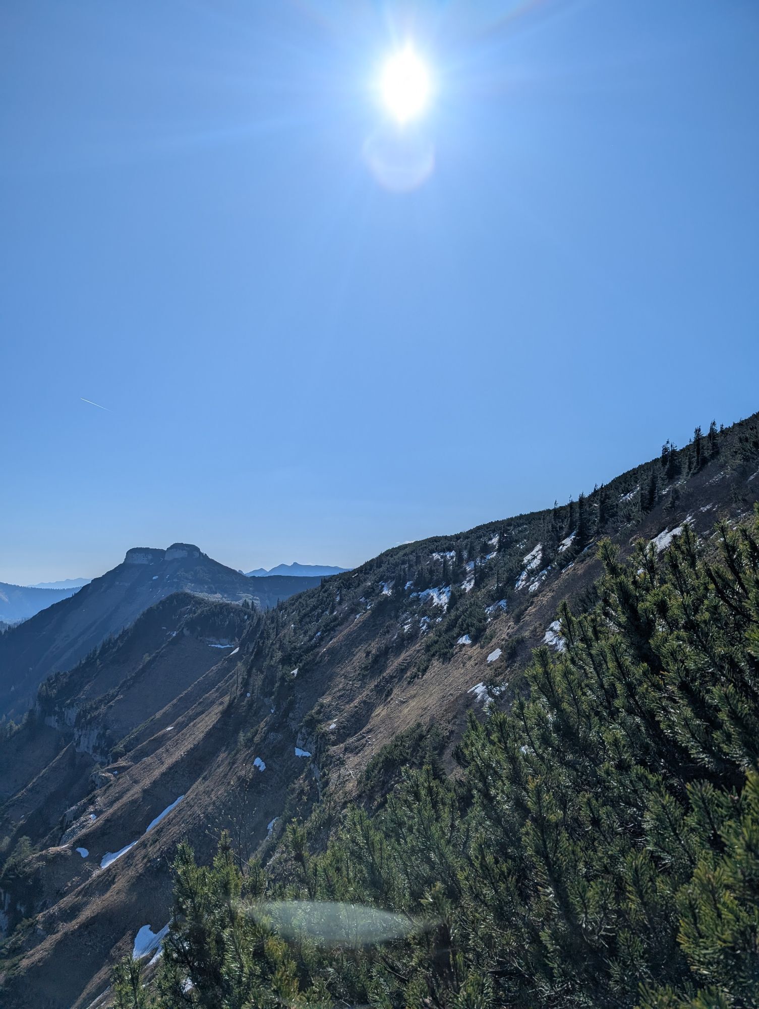
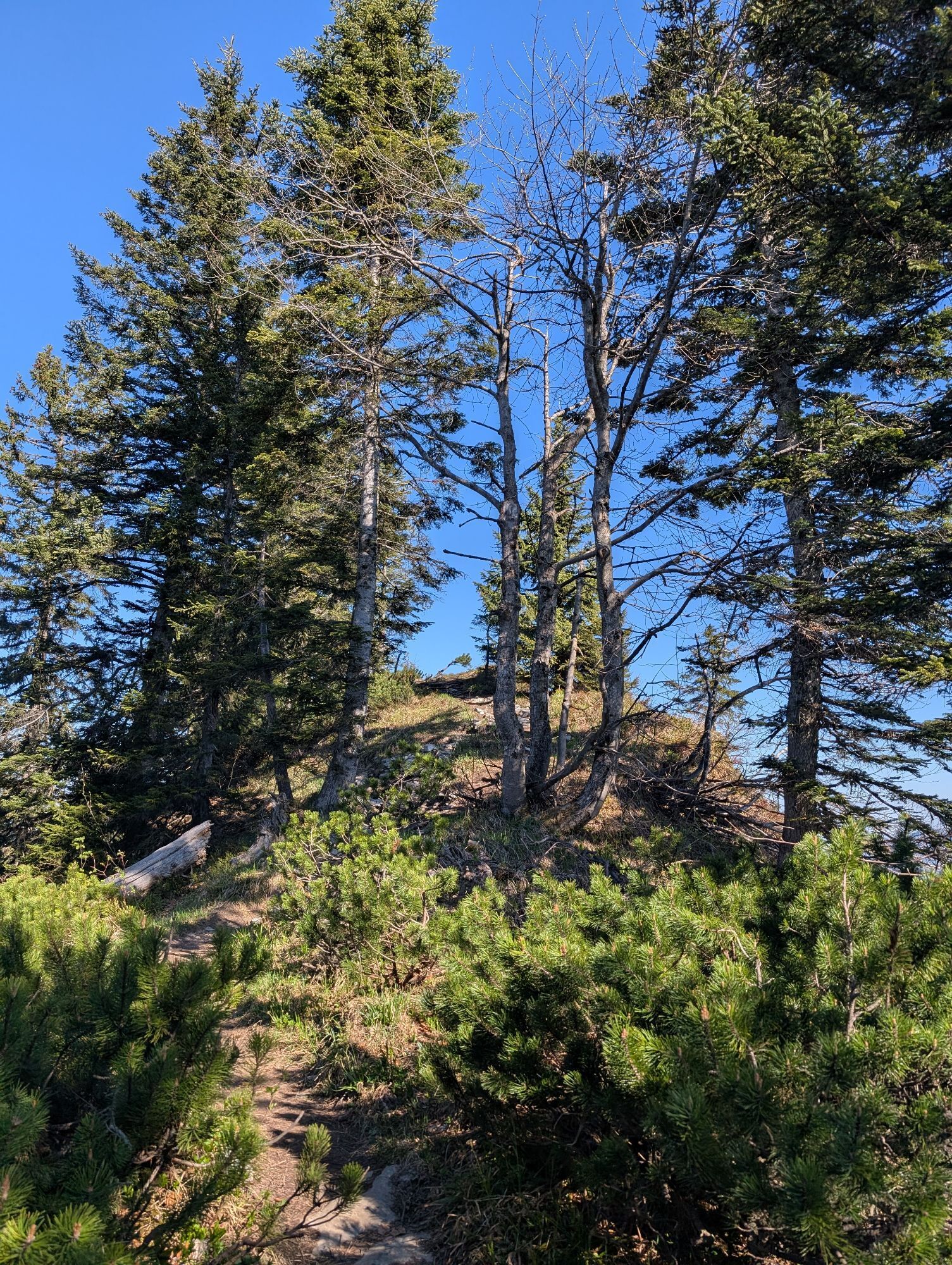
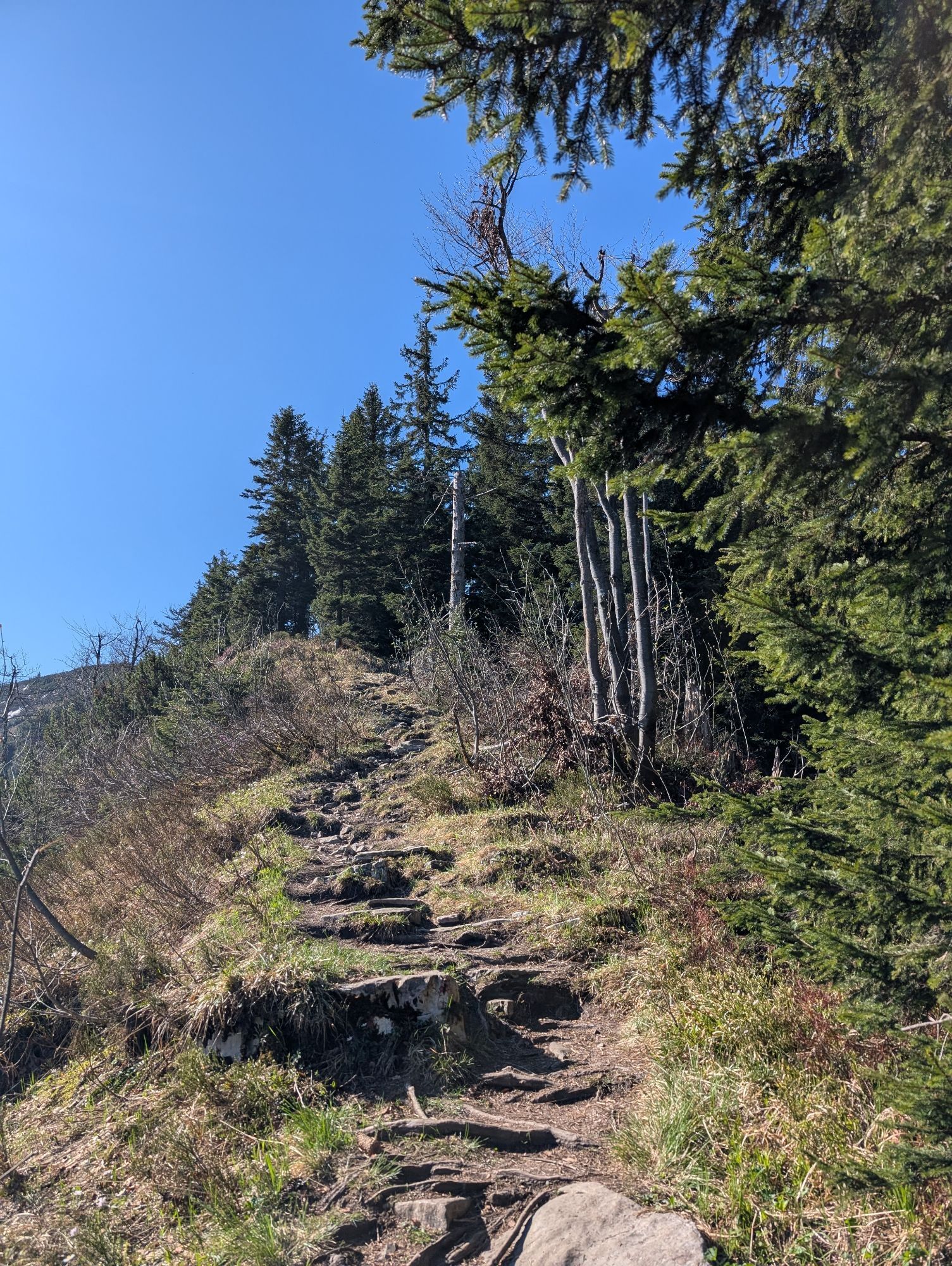
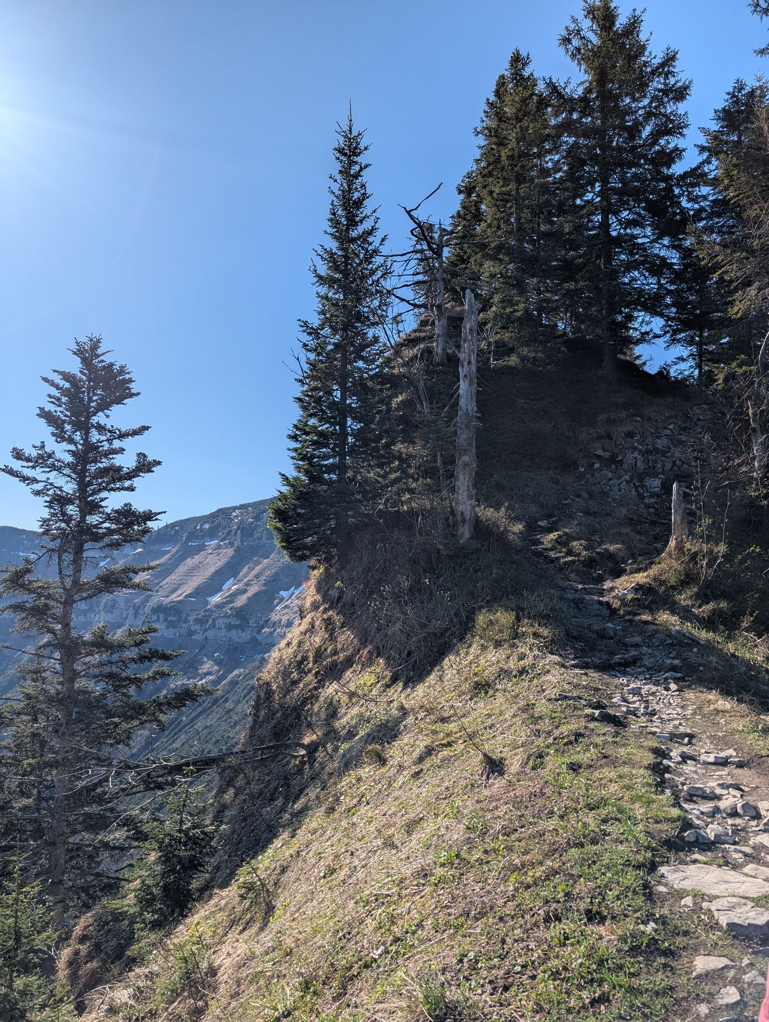
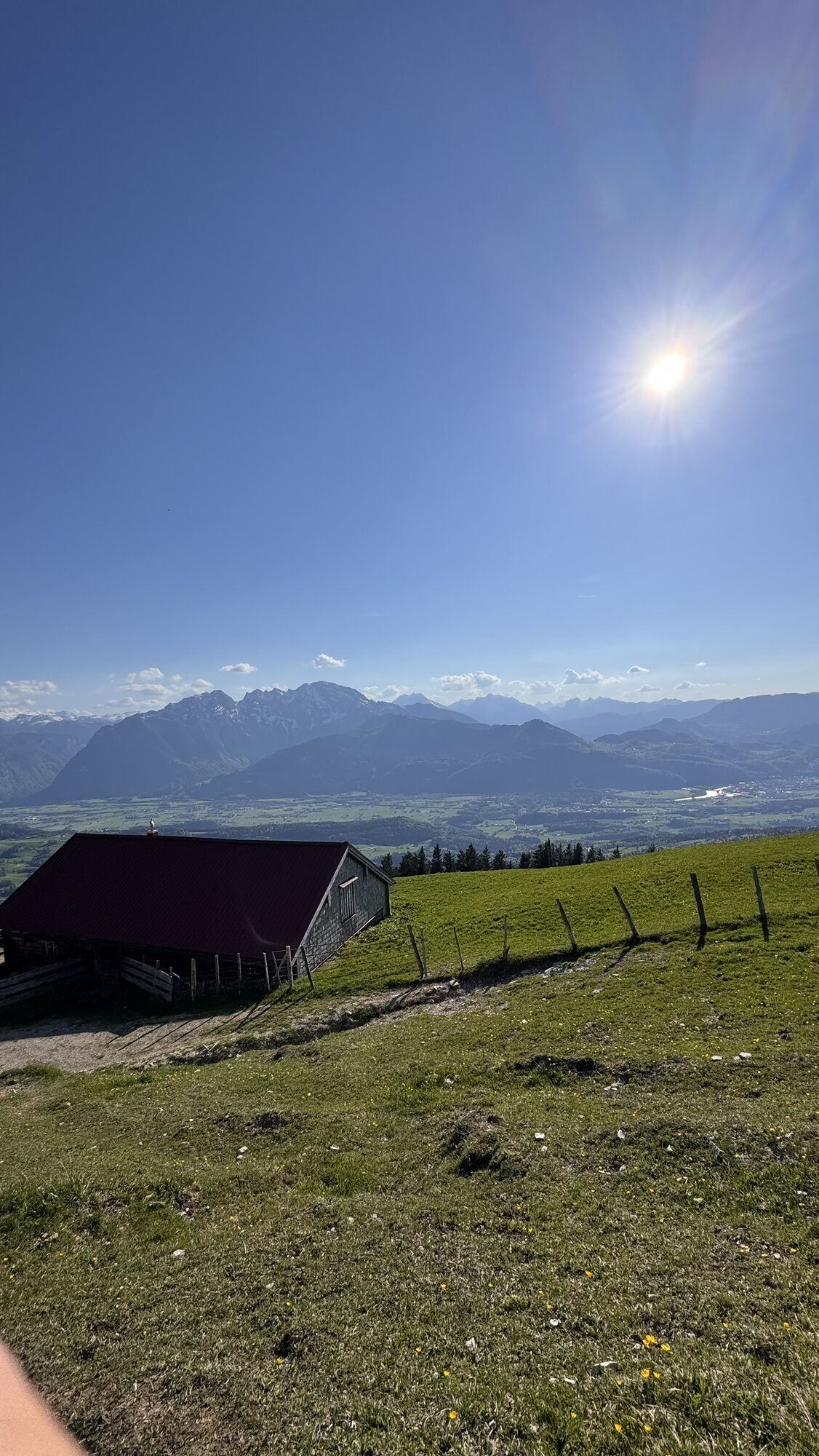
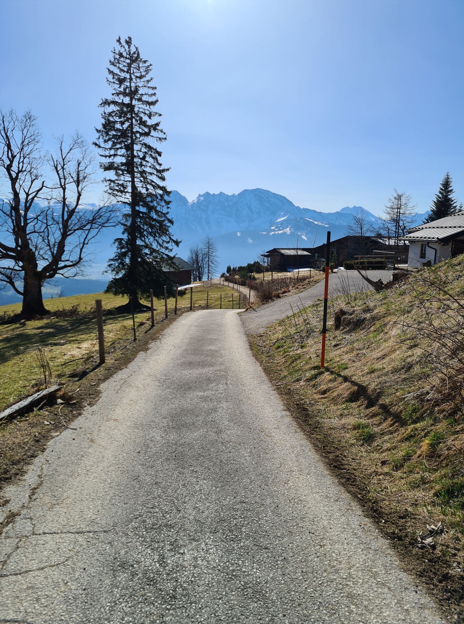
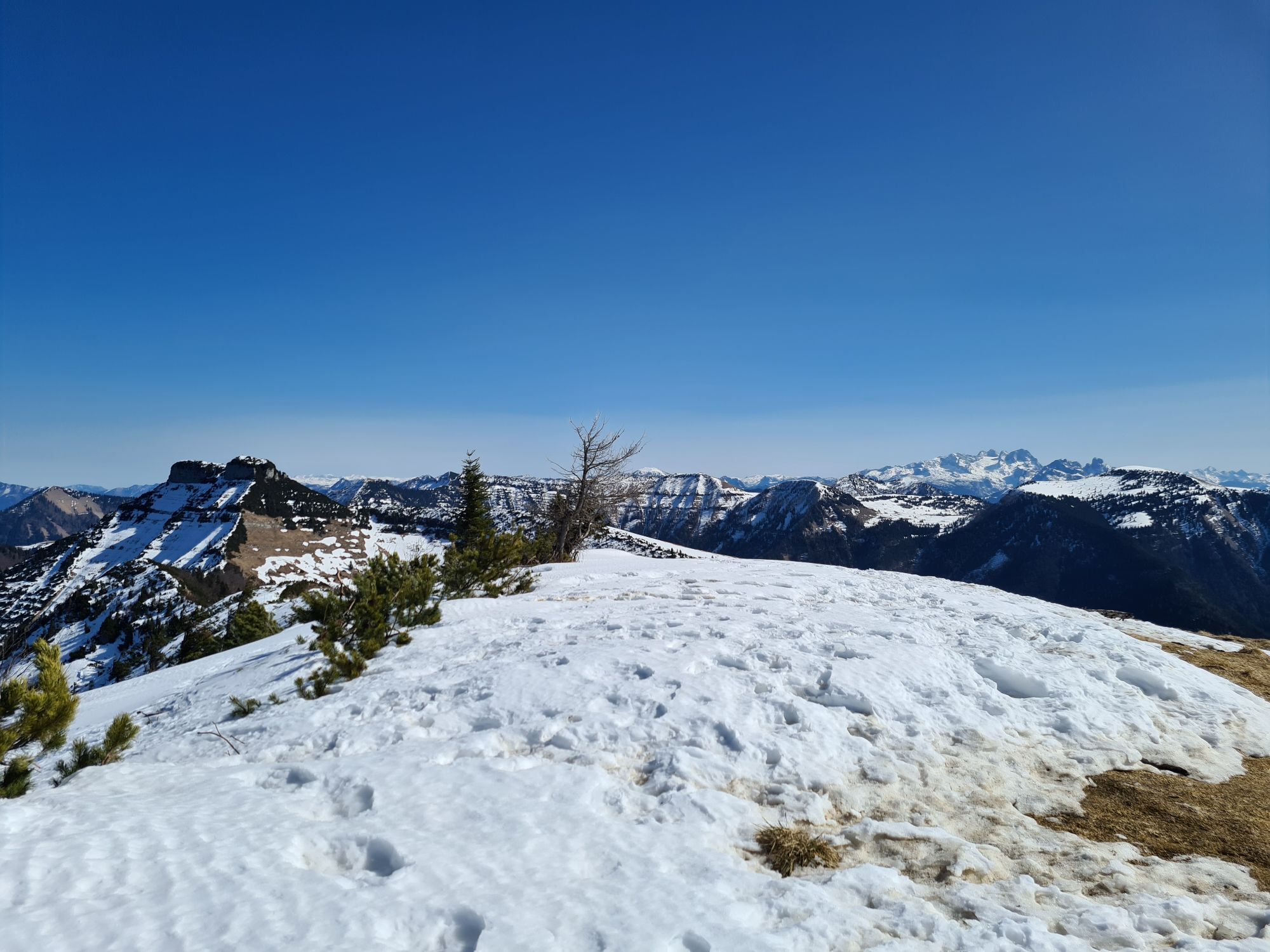
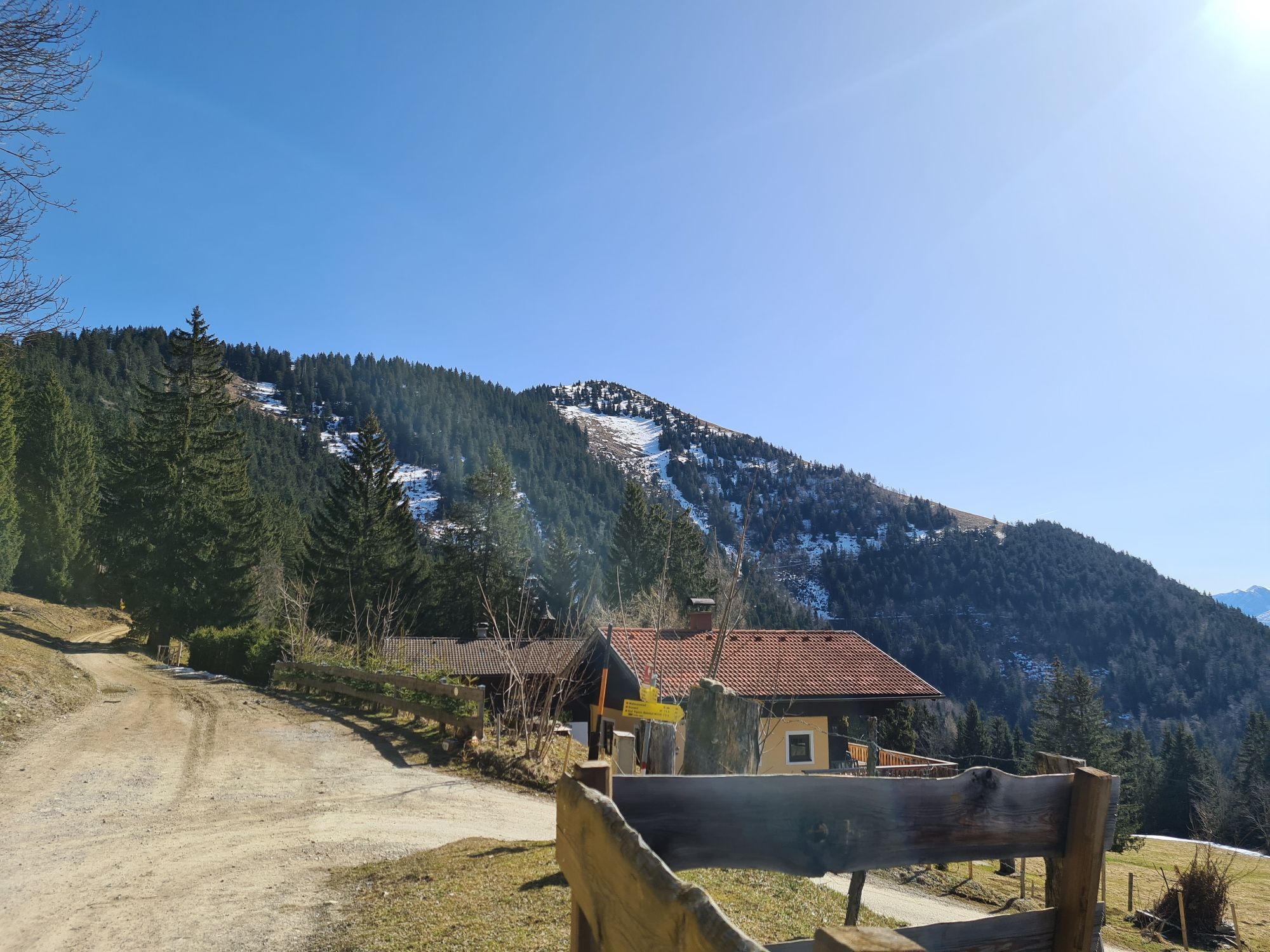
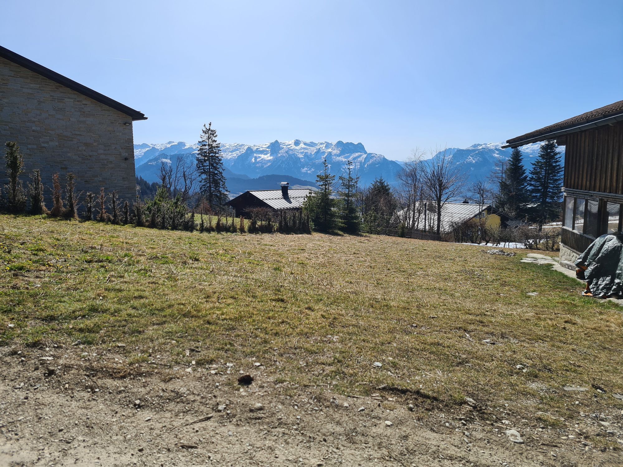
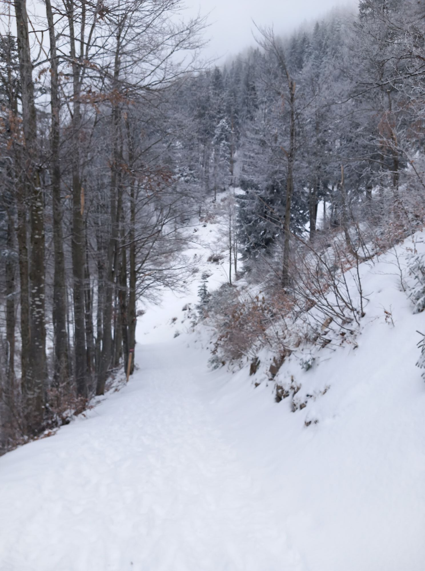
From the Adnet-Waidach stop, continue initially eastward on Waidacher Straße. After 700 meters, the access road to Vorderspumberg branches off to the left, after another 500 meters, at the latest after the Spumbach bridge, skins are put on. The very first slope promises the finest downhill pleasure, followed by a short flat section, the ascent crosses the road and follows the next slope eastward. The narrow access road is crossed twice more, then behind a short steep section lies a beautiful farm complex. A striking aviator monument made of aluminum commemorates the crash of an American bomber at this exact spot in April 1945. More or less along the access road it goes to the junction of the Gemersreit service road, the track follows 300 meters to the left until beautiful slopes open invitingly to the right. These lead to the Gasthof Zillreith (1116 m), another starting point for an ascent of Schlenken. After merging into the main track, our path leads past the managed Halleiner Haus and encounters a fork after one kilometer. Straight ahead runs the barely ascending farm road to Schlenkenalm, to the left the path 840 branches off to Schlenken. Still in the forest at first, this trail becomes increasingly steeper and then follows the so-called Jäger nose along the sometimes rather unpleasantly iced and windblown northwest ridge to the flattened summit (1648 m).
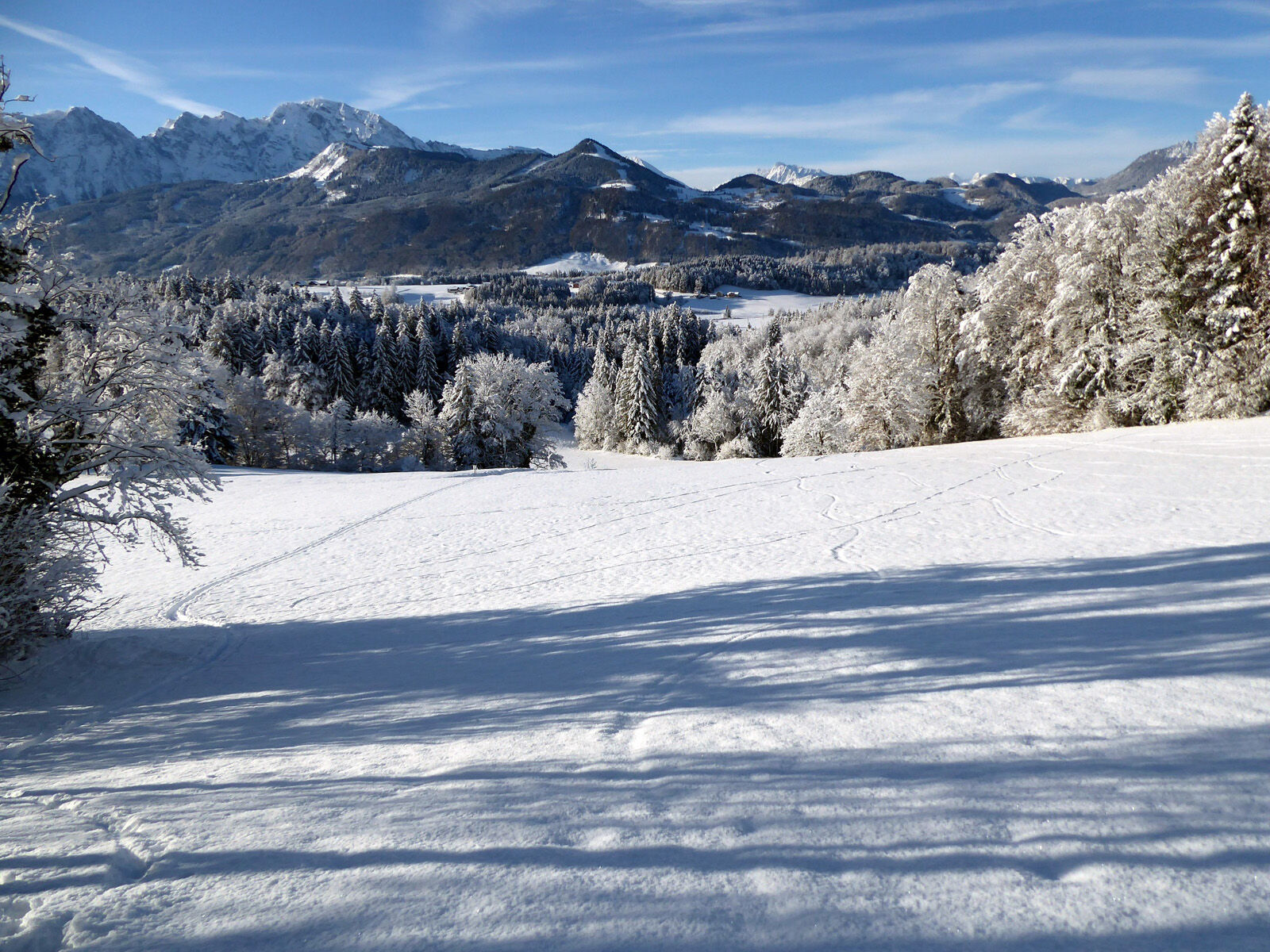
The descent runs over the broad southwest flank down to the alpine pastures, then follows the farm road to the right and from the fork follows the ascent. The very steep, westward-running Schlenken couloir down to the farm road should only be descended under very favorable avalanche conditions.
Áno
Áno
Complete ski tour safety equipment
Don't forget crampons. The last section before the summit is sometimes icy.
Weather and avalanche info at www.lawine.salzburg.at
A 10, Hallein exit. On Wiestal state road to the Adnet junction. Through the center, past the church on the right to Adnet-Waidach. There turn left towards Spumberg to the parking lot in front of the bridge.
From Hallein station (west side) by bus 451 or with Tennengau Shuttle * to Adnet Waidach stop.
* Reservations at least 20 minutes before the planned departure at +43 662 265500, more information at https://salzburg-verkehr.at/fahrplaene/shuttle/. Departure times may vary due to operational reasons.
Timetable information and download: Online at www.salzburg-verkehr.at or on your smartphone via the free Salzburg Verkehr app for Android and iOS.
Parking lot in front of the bridge towards Spumberg.
On December 31, the Schlenken is lively all day long. Hundreds of ski tour enthusiasts meet for one last tour in the old year.
Webové kamery z prehliadky
Obľúbené výlety v okolí
-
4,2
Idyllic Hintersee Rund
svetloTuristika 5,10 km -
4,1
Illinger Alm-Runde
strednáTuristika 9,89 km -
4,6
Zwölferhorn
strednáTuristika 8,64 km -
4,5
Hoher Göll vom Alpeltal
ťažkéTuristika 15,0 km -
4,7
Reitsteig - Dopplersteig Runde_Untersberg
strednáVysoké turné 9,89 km -
4,2
Hike to the Kleiner Barmstein via the Thürndl ruin
strednáTuristika 4,20 km -
3,7
Durch die Almbachklamm nach Ettenberg
Turistika 7,54 km -
4,1
TG18 Osterhorn-round
strednáMountainbike 57,0 km -
4,8
Schlenken and Schmittenstein hike
ťažkéTuristika 10,9 km -
4,7
Kneifelspitze
Turistika 2,53 km
Turistika a stopovanie


Nenechajte si ujsť ponuky a inšpiráciu na ďalšiu dovolenku
Vaša e-mailová adresa bol pridaný do poštového zoznamu.