


Upper Miners' Circular Trail


Fotografie našich používateľov
-
 © Monika DutzlerVytvorené dňa 13.10.2025
 -
 © ReginaStVytvorené dňa 22.08.2025
 -

 © Anton HautzVytvorené dňa 11.10.2025
 -
 © Anton HautzVytvorené dňa 11.10.2025
 -
 © Anton HautzVytvorené dňa 11.10.2025
 -
 © Anton HautzVytvorené dňa 11.10.2025
 -
 © Anton HautzVytvorené dňa 11.10.2025
 -
 © Anton HautzVytvorené dňa 11.10.2025
 -
 © Anton HautzVytvorené dňa 11.10.2025
 -
 © Anton HautzVytvorené dňa 11.10.2025
 -
 © Anton HautzVytvorené dňa 11.10.2025
 -
 © Anton HautzVytvorené dňa 11.10.2025

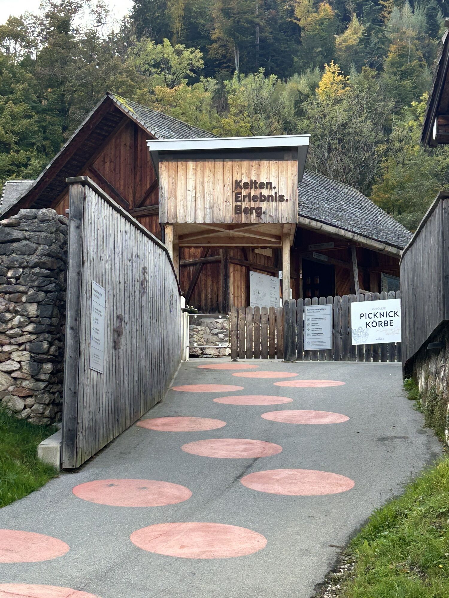


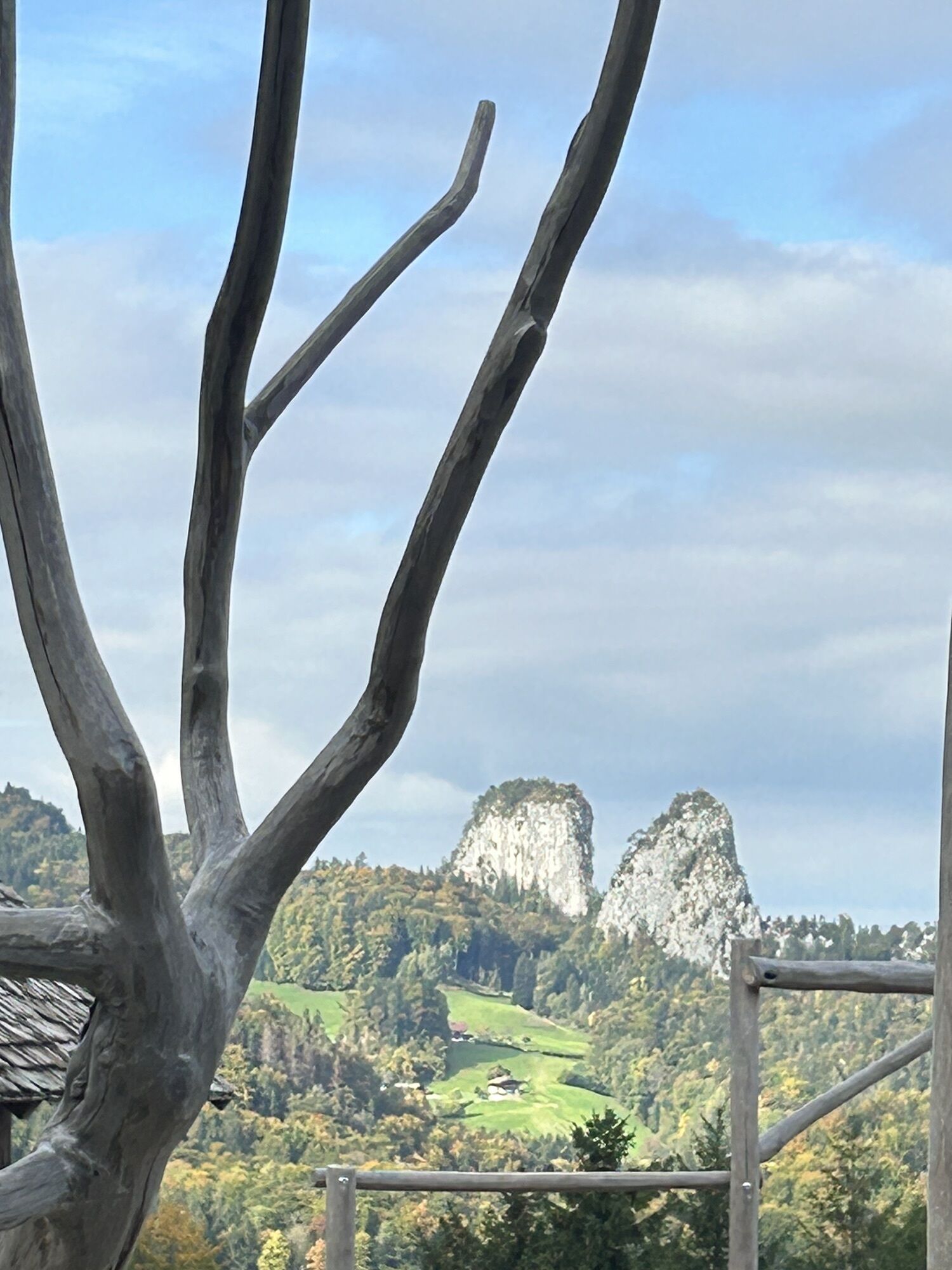
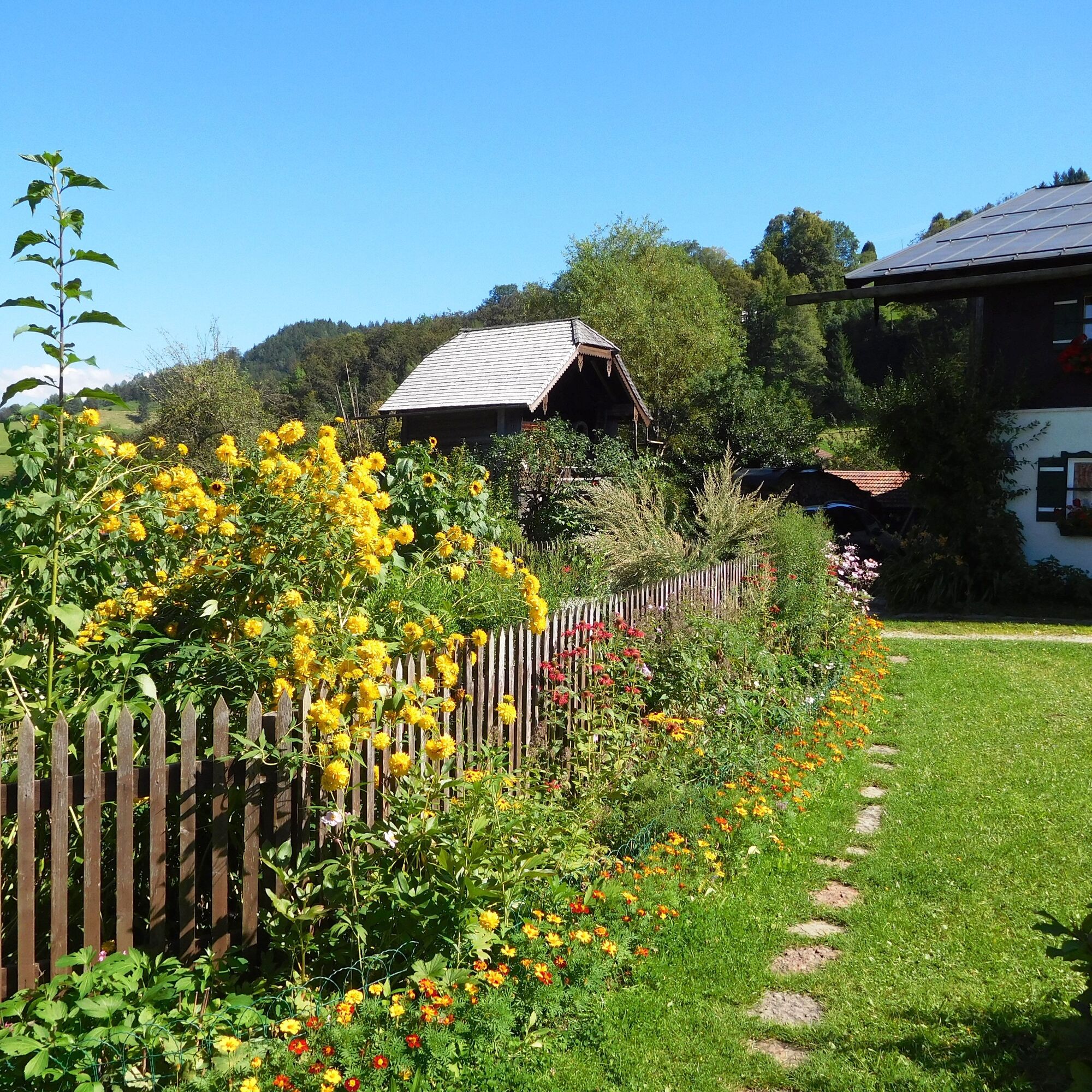
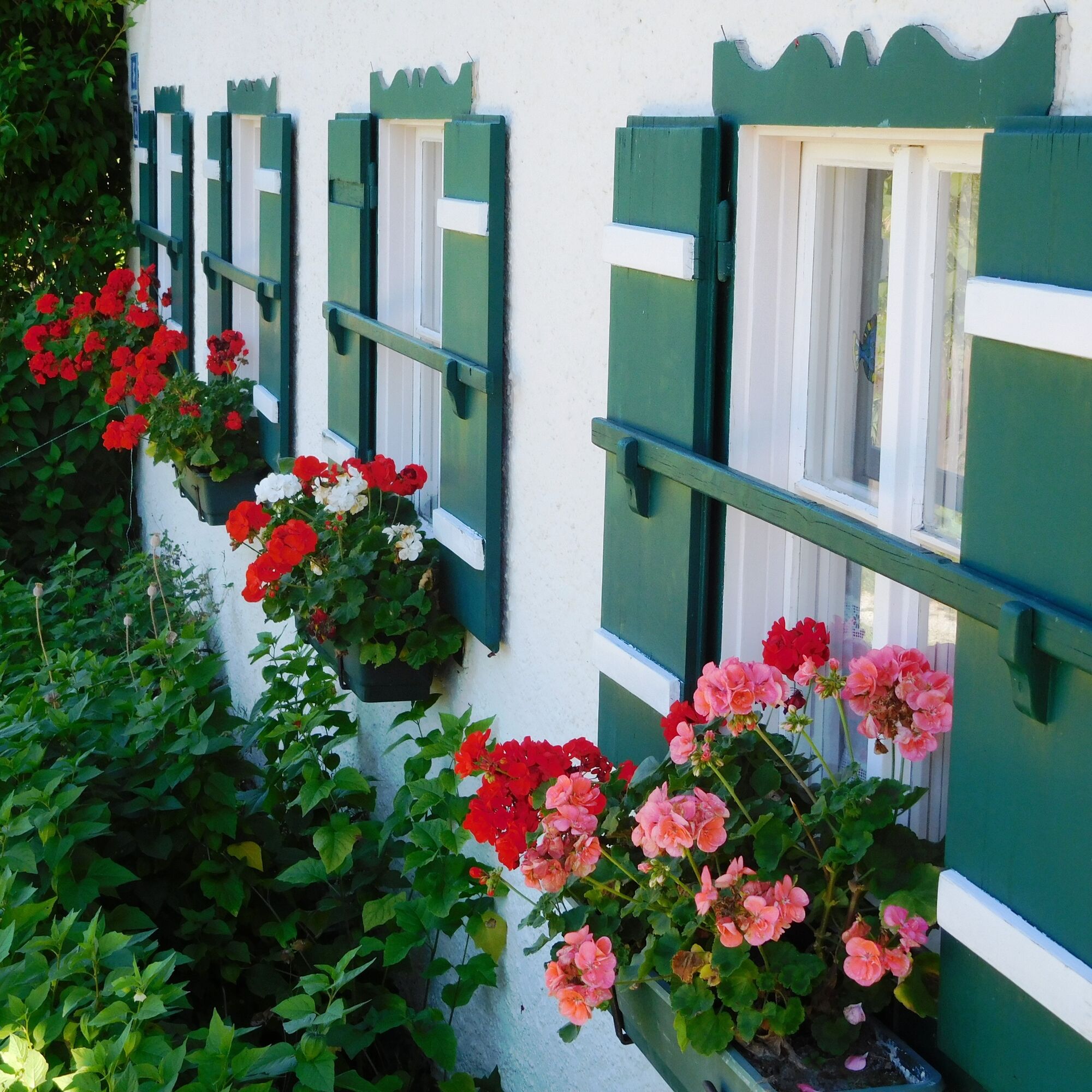
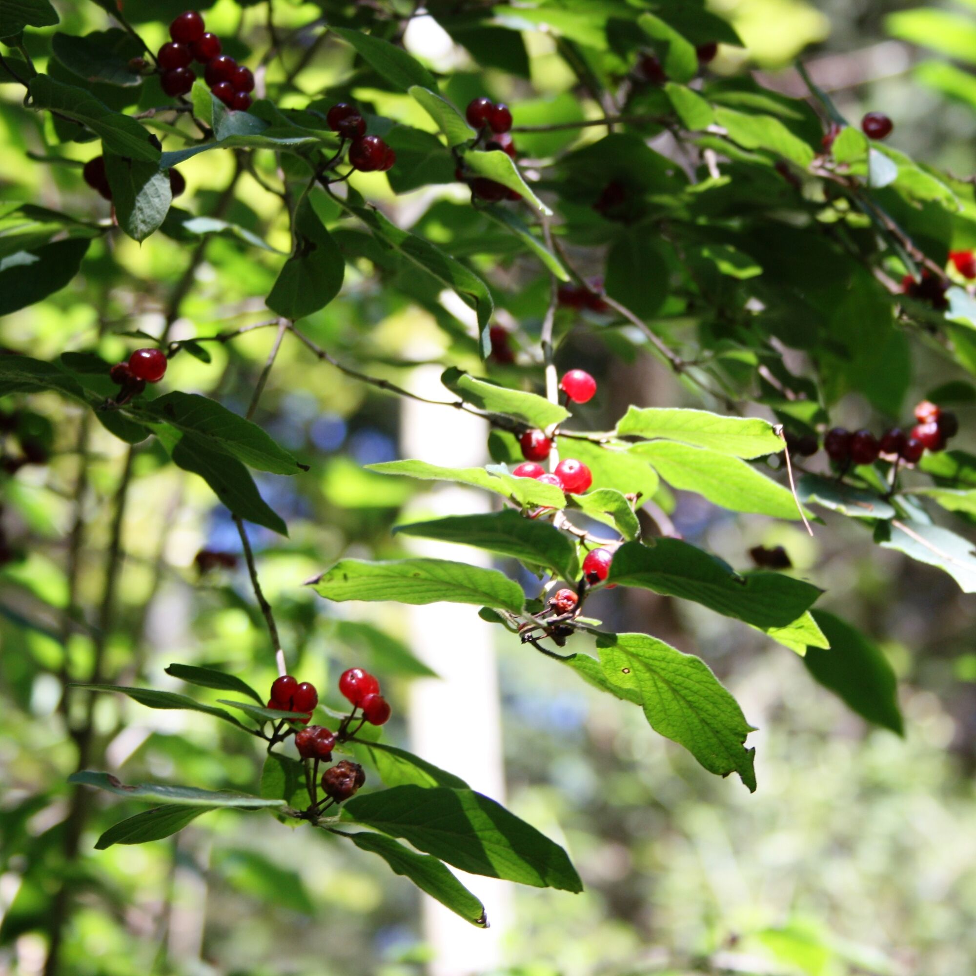
The mystical entrances, which the signs point to, in a fairytale natural setting have something mysterious. Old trees, clearings, and streams complete the experience. On the path is also the Georgenberg...
The mystical entrances, which the signs point to, in a fairytale natural setting have something mysterious. Old trees, clearings, and streams complete the experience. On the path is also the Georgenberg adit, known since 1616 as the discovery site of a Celtic miner. The tour is exciting all around, family-friendly, and also regarded as a connecting route to the Lower Miners' Trail.
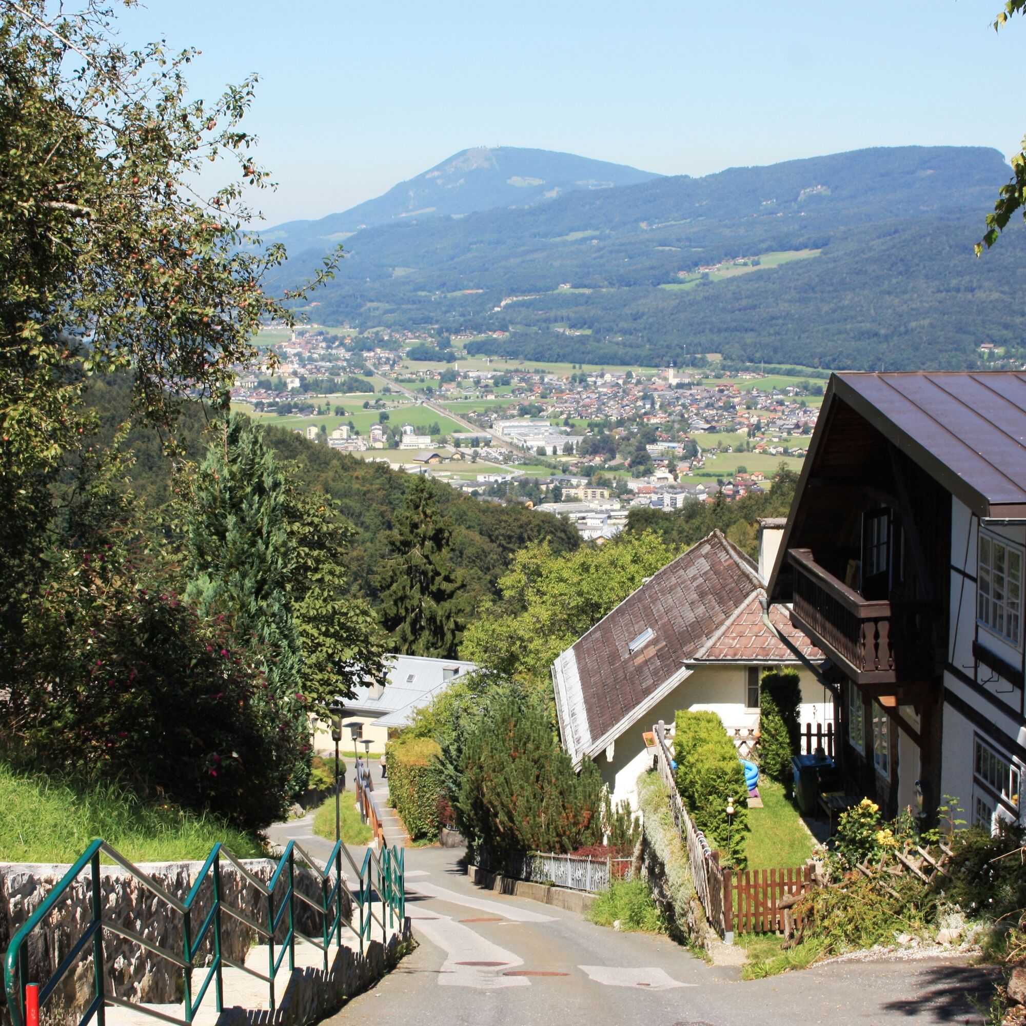
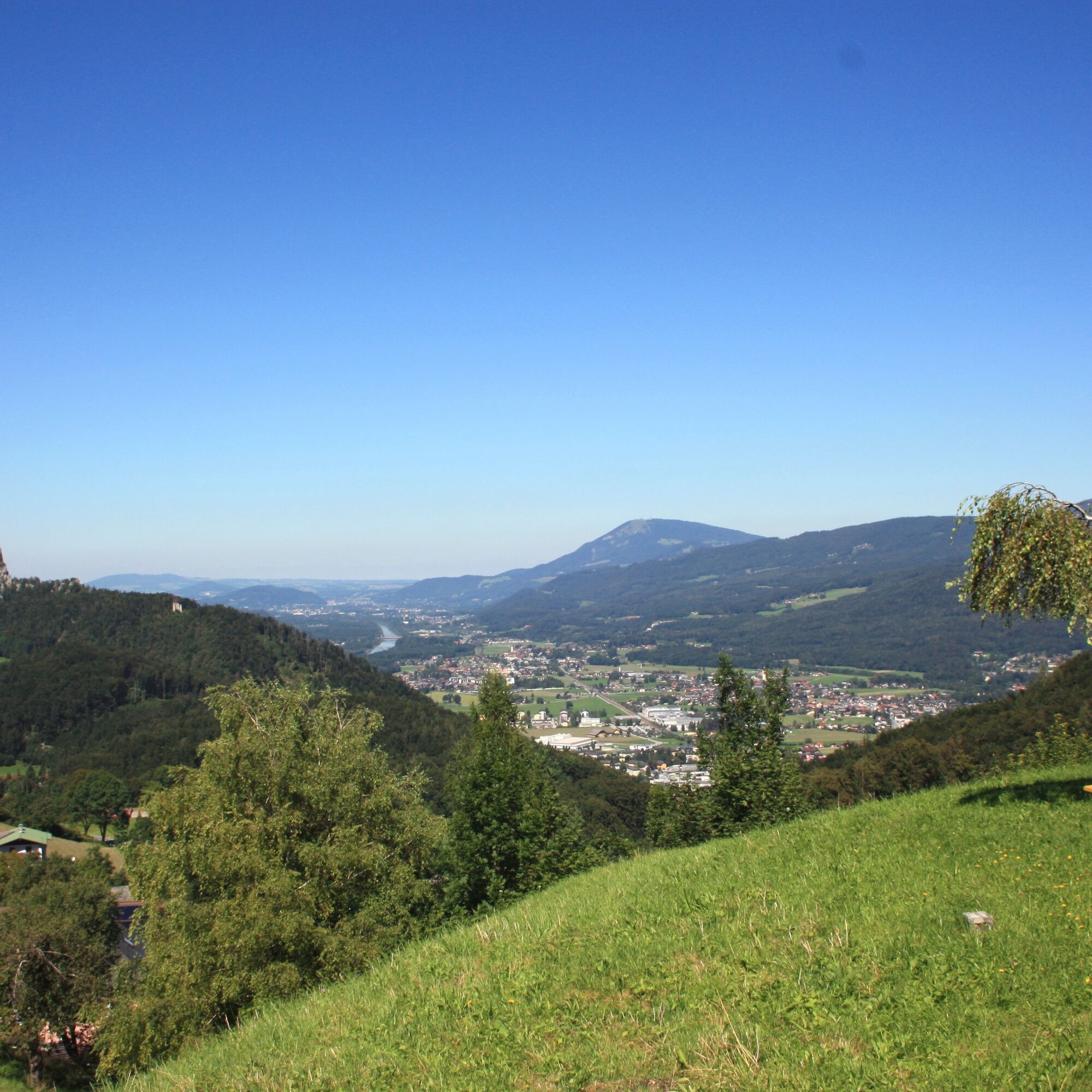
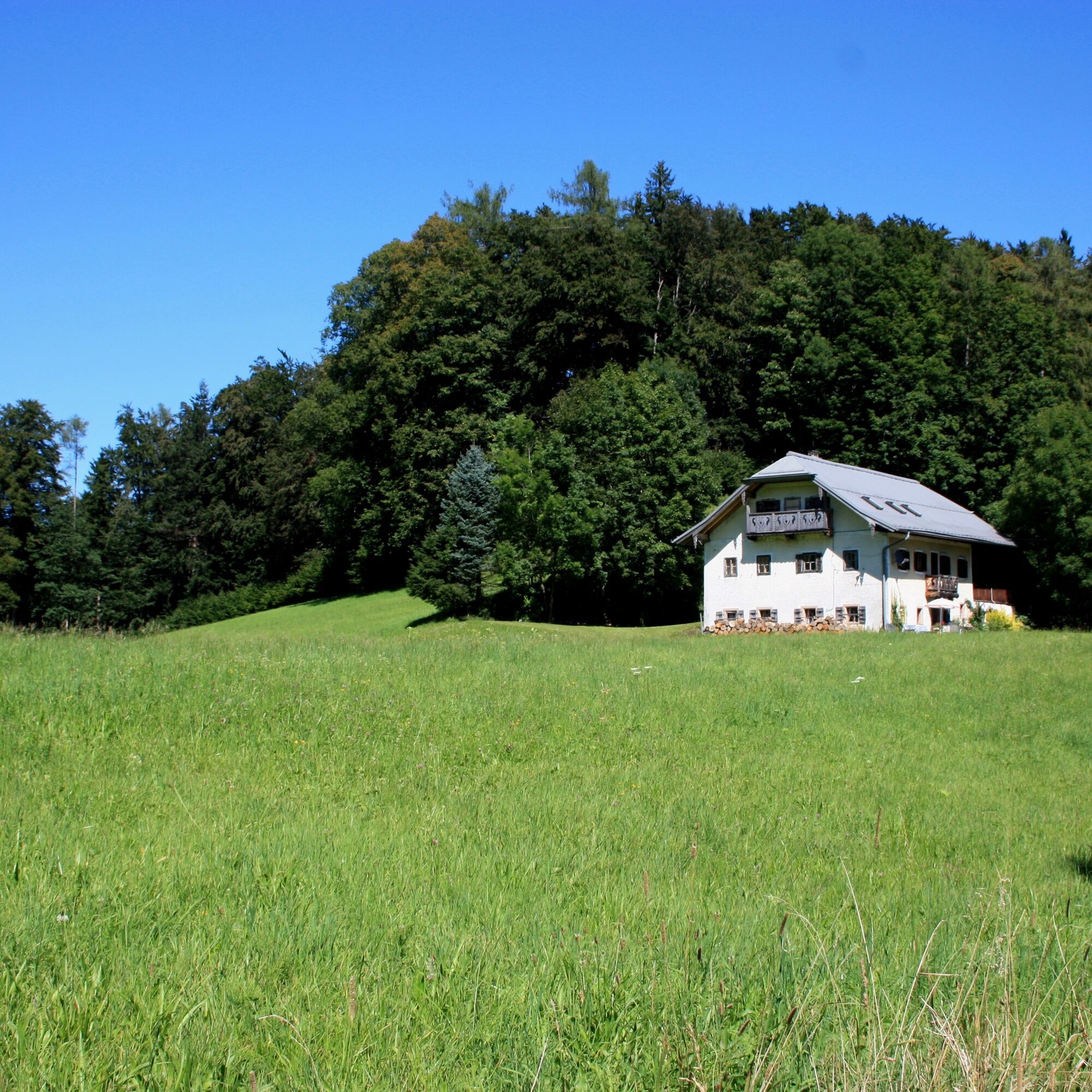
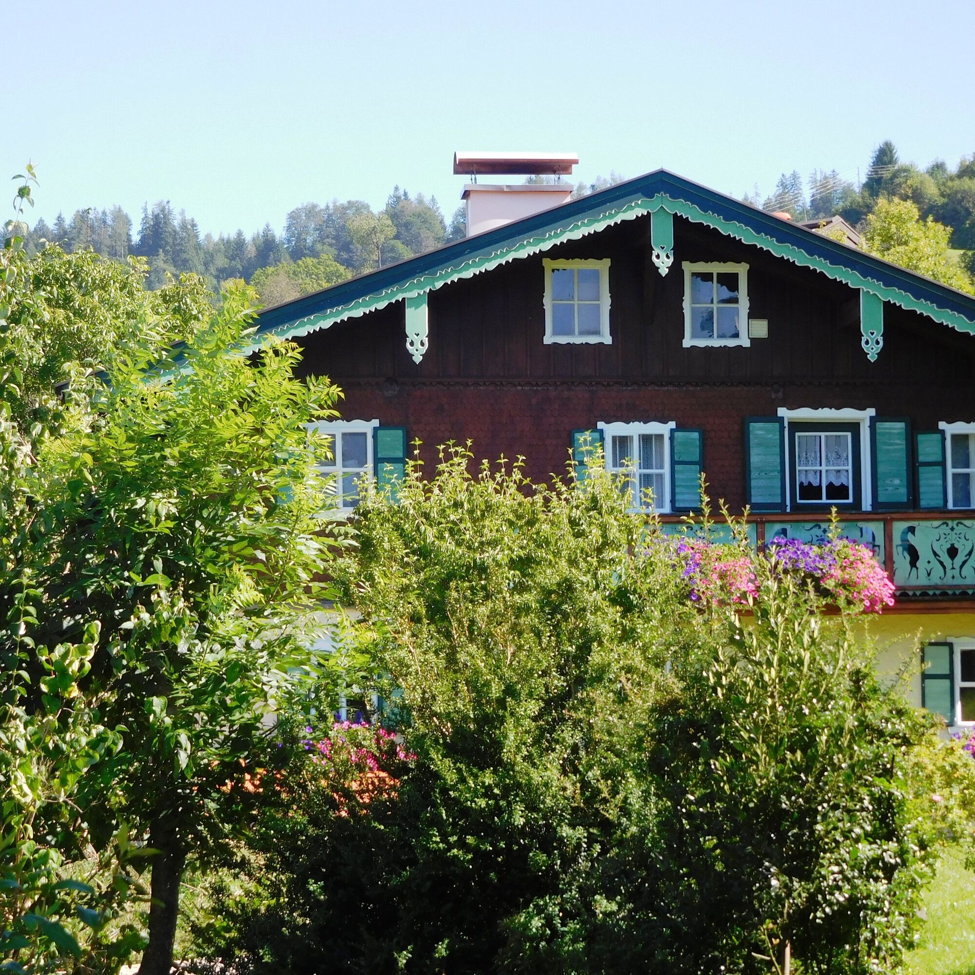
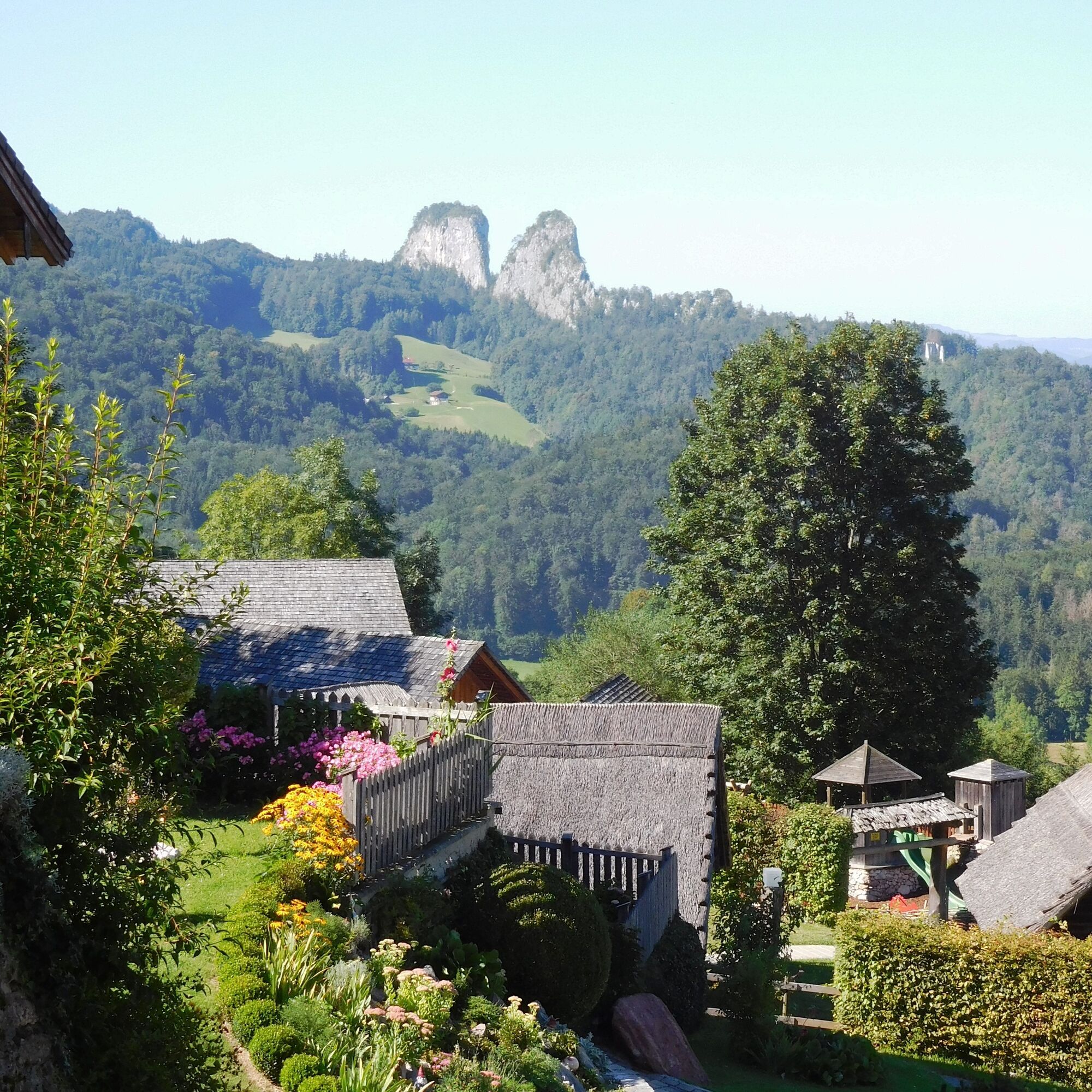

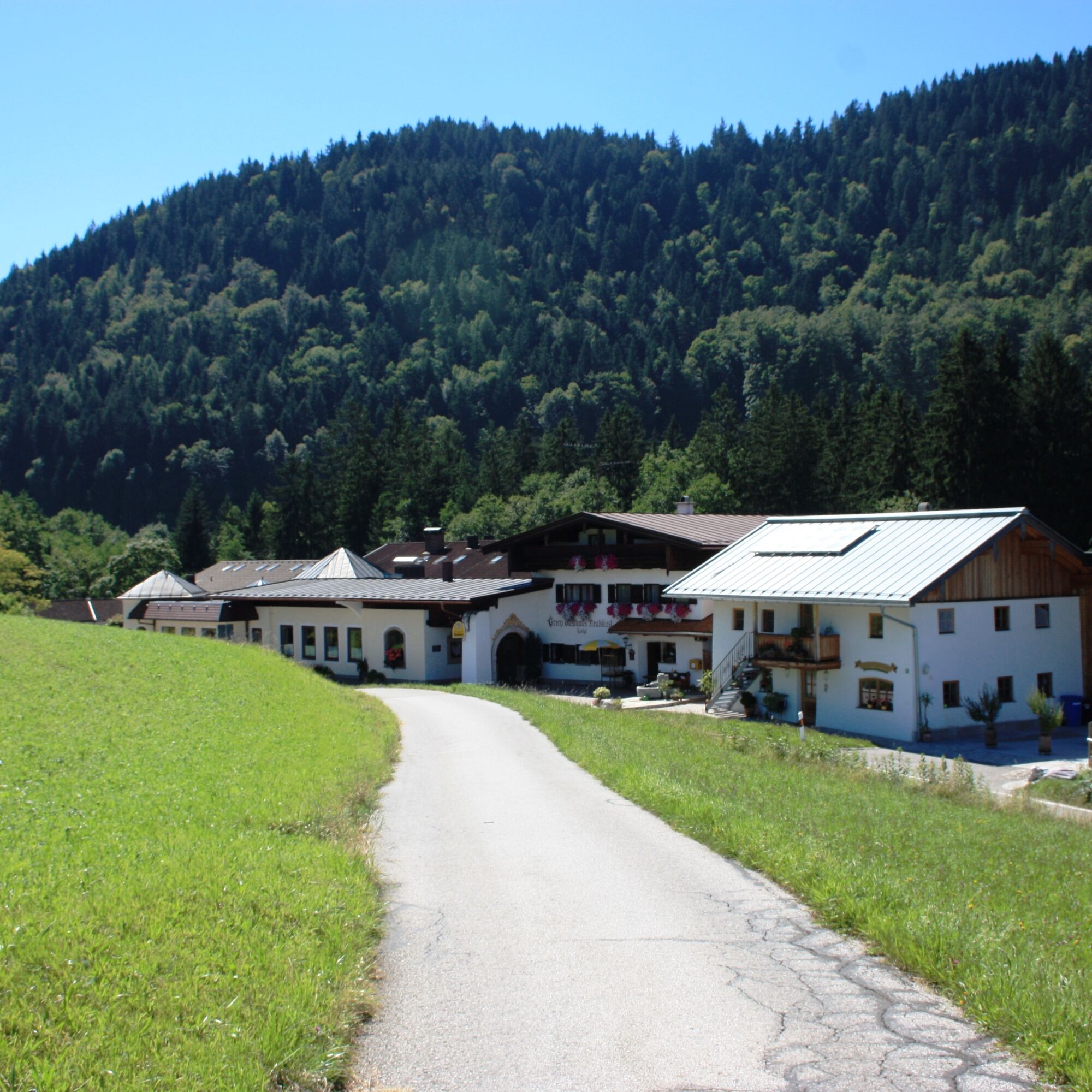
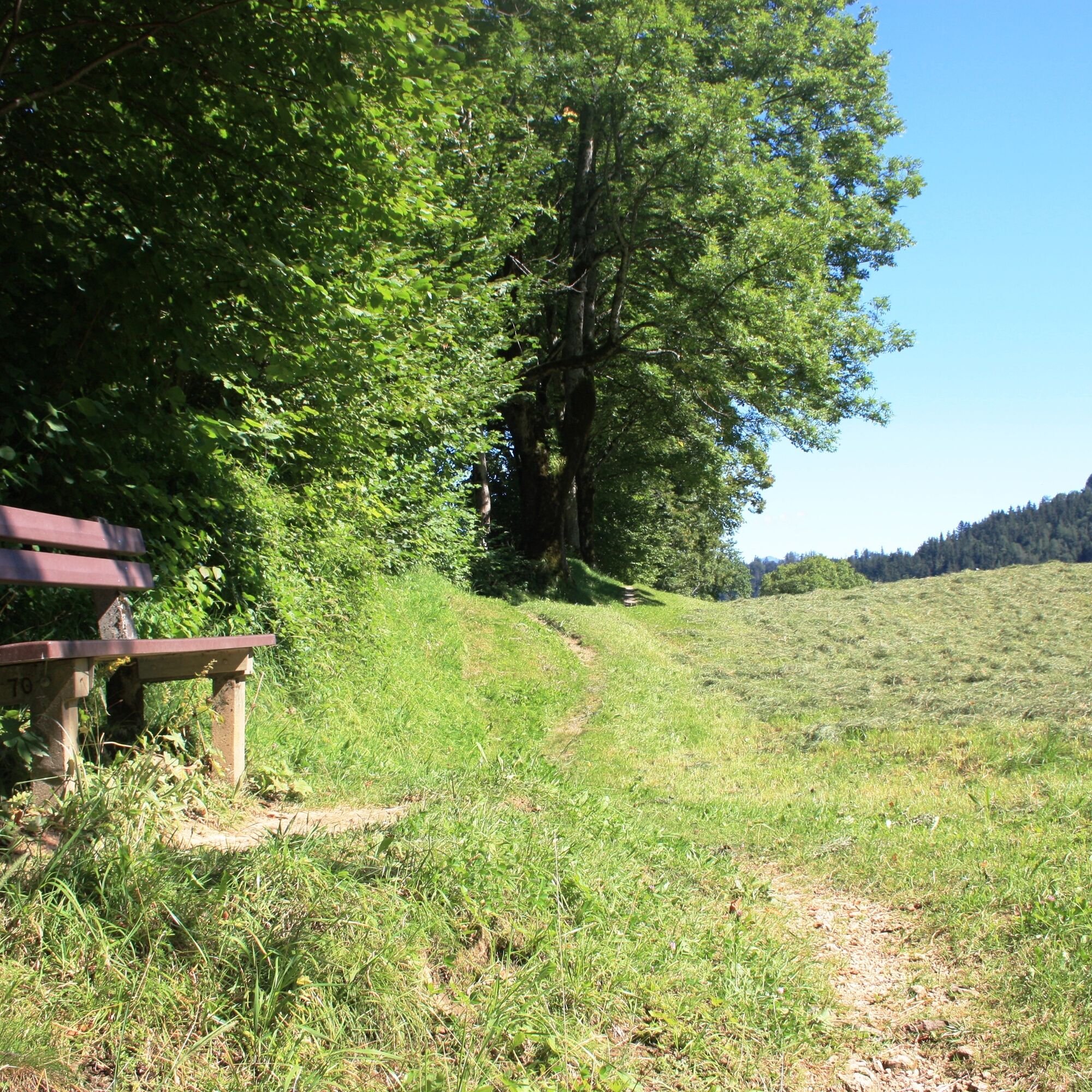
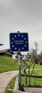
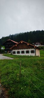
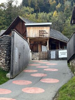
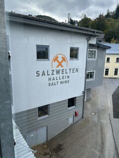
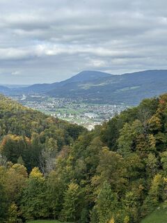
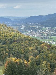
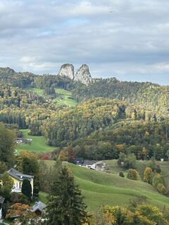
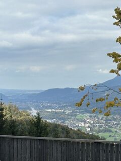
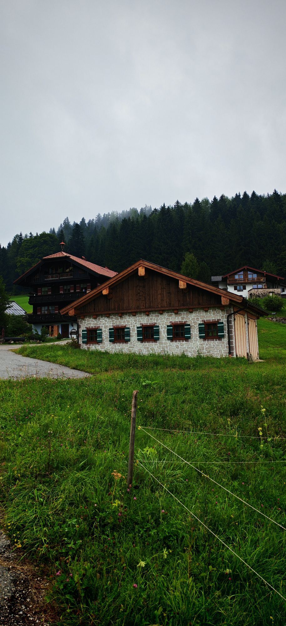
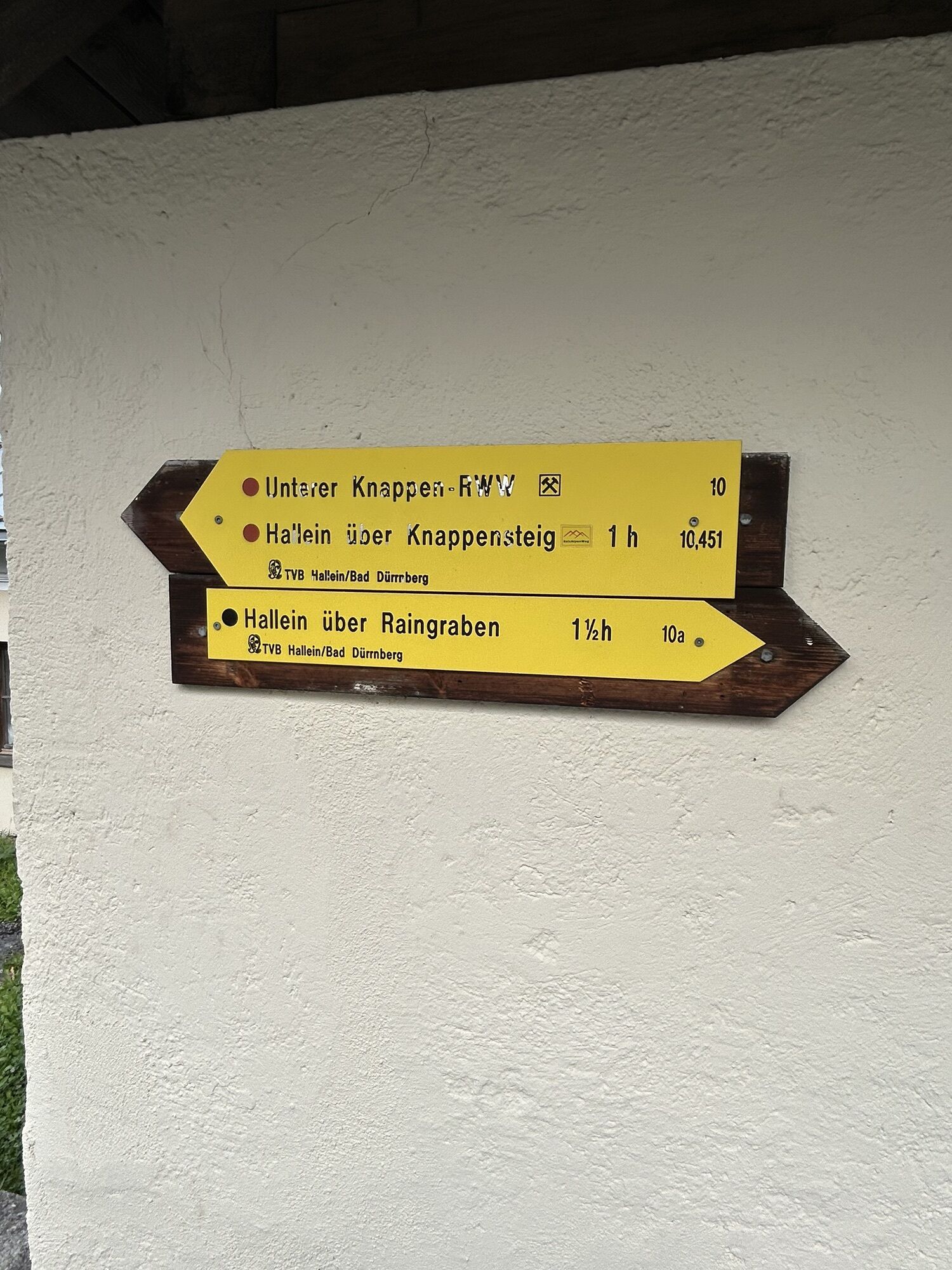
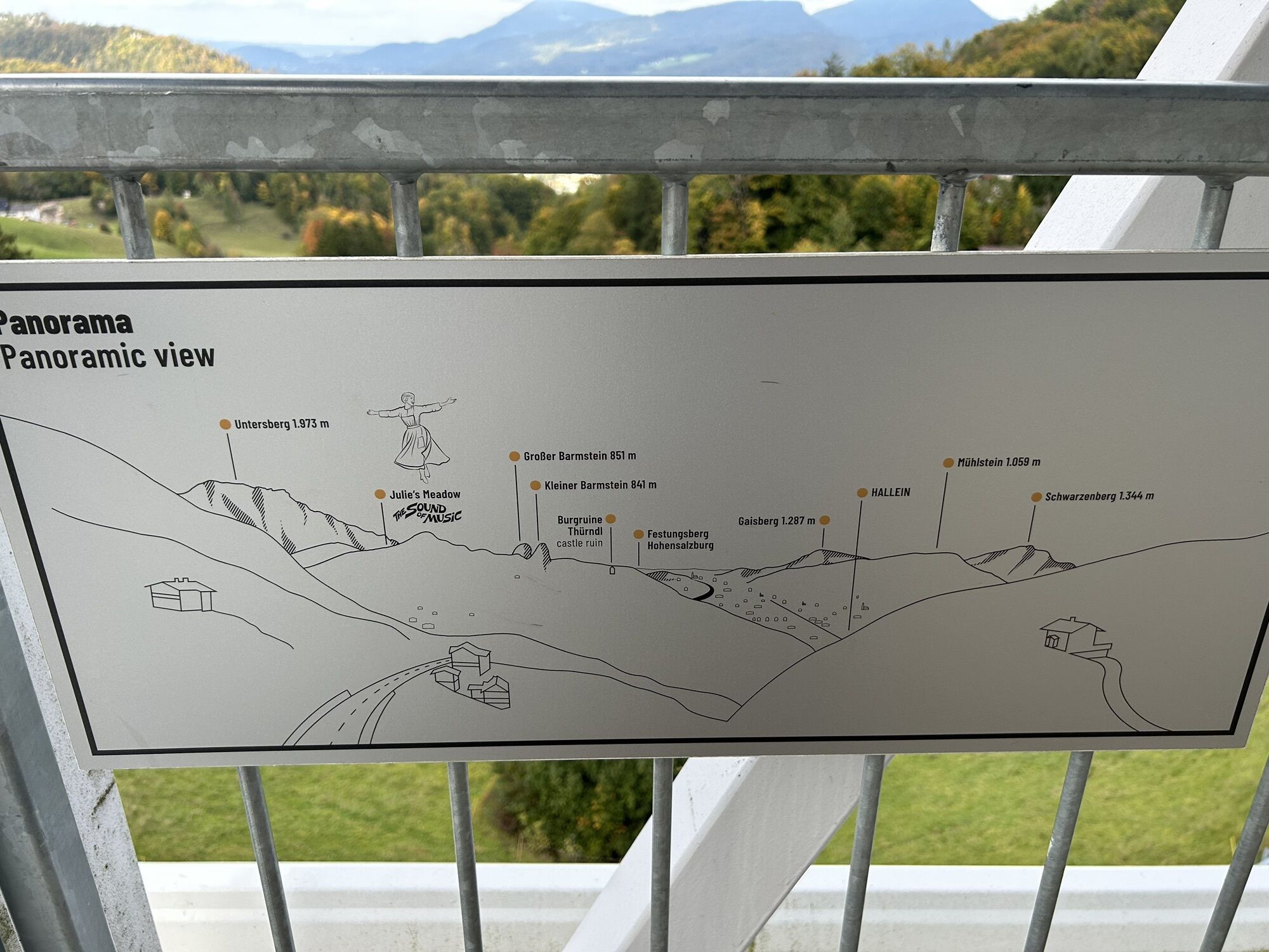
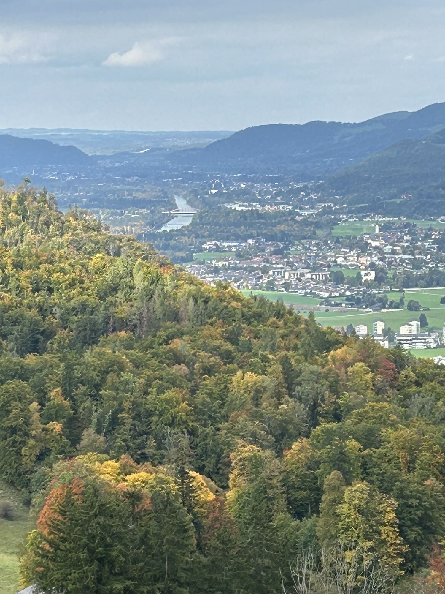
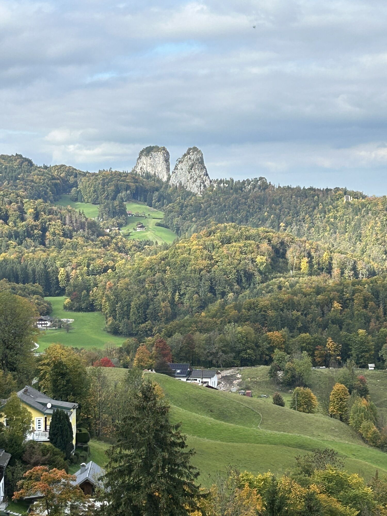
From our starting point, we initially hike in the direction of the salt mine. Between the entrance to the salt mine and the clubhouse of the miners' music band, we go straight ahead and then turn left before the Celtic village. Now we go steeply uphill for a short distance to the church. Just before the church (at the "Frauenbründl") we turn right onto Freudenbergweg. Here we reach the first station of this themed trail, the former Freudenberg adit. We walk past the cemetery and thus arrive at a house on the edge of the forest. To the right of the small stream, we now walk on a narrow road into the forest and thus reach the second station on the Upper Miners' Trail, the Leonhardsberger daylight mine. A few meters behind is the Georgenberg adit, where a Celtic miner was found in 1616. Now the Georgenbergsteig becomes a pleasant gravel path that leads us through the bright ash and sycamore maple forest along the Kotbach. We follow its course, which leads us to a large clearing and back into the settlement area of Bad Dürrnberg. At Hühnerleitenweg, we turn left towards Hofgasse and follow this southwest over the German border to Neuhäusl. At the border guesthouse Neuhäusl, we make a sharp left turn and go to Frauenhof. Behind the farmhouse, we follow the meadow path slightly uphill towards "Gmerk." In the Hahnrainwald, we take the path that leads half-right into the coniferous forest and follow it into a long right curve. At a crossroads with several branching options, we keep to the left and thus reach a beautiful clearing with a sunny seating area. Under mighty, old trees, we walk to the Gut "Heinrich" and shortly afterwards onto a narrow asphalt road that leads us to the border village called "Gmerk." From here, you have a wonderful view to the north over a colorful mosaic of agricultural fields and forests. Following the signpost "Upper Miners' Circular Trail," we hike downhill, passing the small border crossing "Gmerk" below the Rotten ski lift, and are now back on Austrian soil. The path now leads steadily downhill on the so-called "Rumpelgasse," past the Teuffenbach and Gmörkberg daylight mines and further down to the Dürrnberg State Road. At the bottom, we walk a short distance along the state road but shortly thereafter turn right again (up the steps) to the summer toboggan run and the Zinken lifts. Here there is a small stop at the umbrella bar "Zur Rita," after which we can then refreshed start the remaining way to Bad Dürrnberg. Initially, we follow the signs to the parking lot and then turn (following the signpost of the Upper Miners' Circular Trail) into Weißwäschweg. At the stream, we keep left, cross it, and then continue on Kranzbichlweg until we meet Dürrnbergstraße again. We also cross this and see a few meters further on the left a junction to Römersteig, which we now follow to the St. Josef spa center and then continue to the church. The last stretch of this tour goes down on the already known path back to the Hallein/Bad Dürrnberg salt mine.
Áno
Áno
No special equipment is necessary for this hike.
However, don't forget rainwear and sturdy footwear.
Please always keep in mind that you are hiking in the mountains, in open nature, and partly in alpine terrain on the described routes here.
Our content was compiled with the utmost care; however, liability is expressly excluded. Hazards can never be completely excluded, and the use of all information and route descriptions is at your own risk!
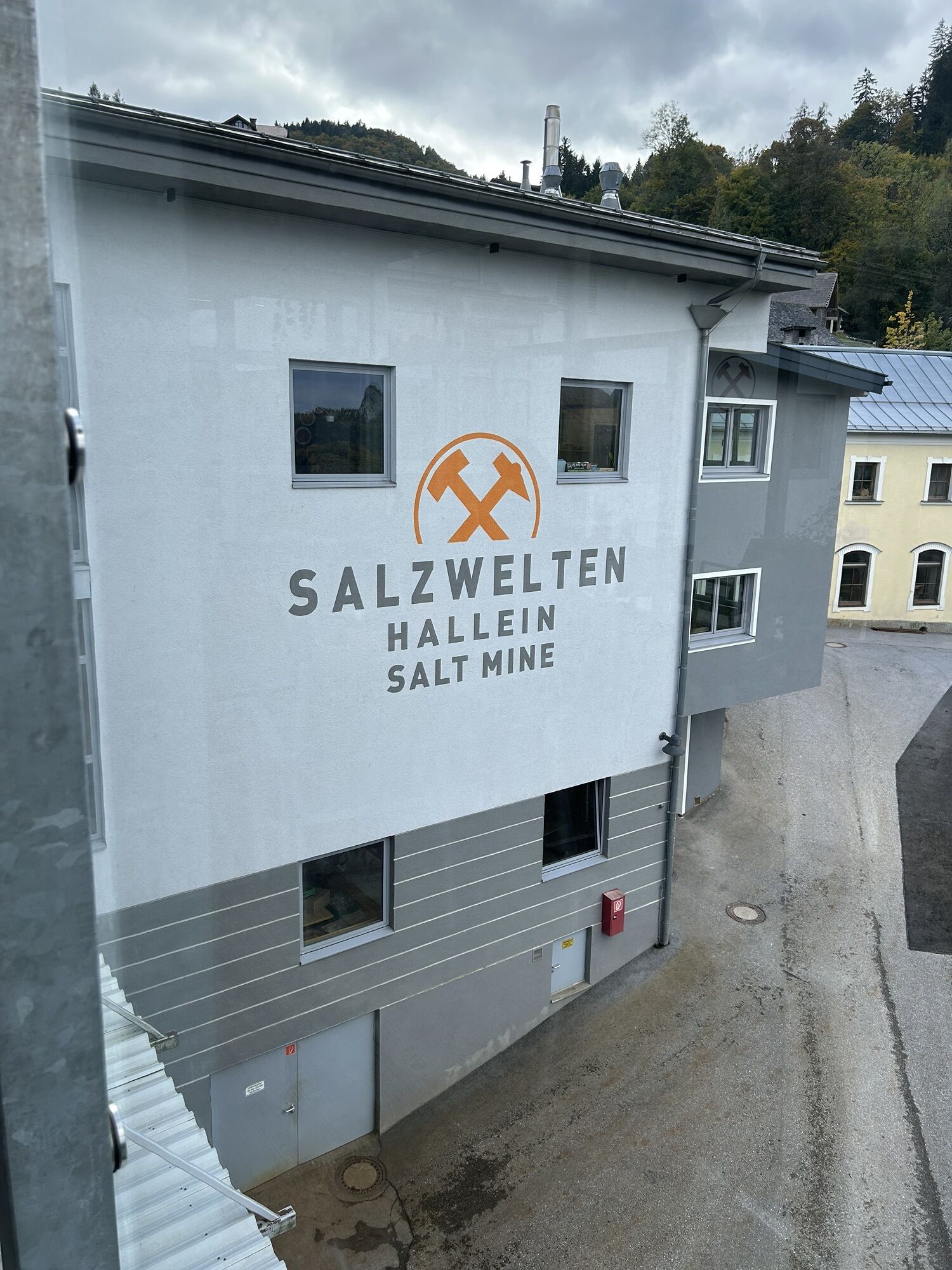
Take the Hallein exit (exit 16) on the Tauern motorway (A10) towards Hallein center. We follow the signs to Pernerinsel and then to Bad Dürrnberg. On Dürrnbergstraße, go uphill to Bad Dürrnberg. Our starting point is directly in front of the Bad Dürrnberg salt mine (on the right side of the street).
By train to Hallein station, from there by bus no. 41 to the Bad Dürrnberg salt mine (stop "Salzbergwerk").
Parking is possible directly at the starting point near the salt mine on this tour.
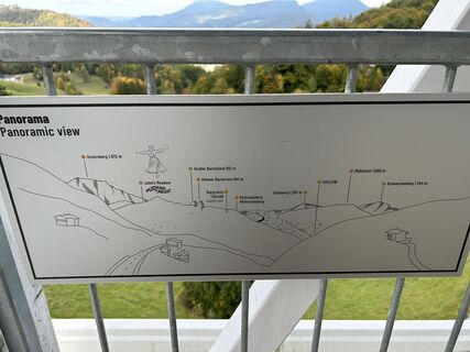
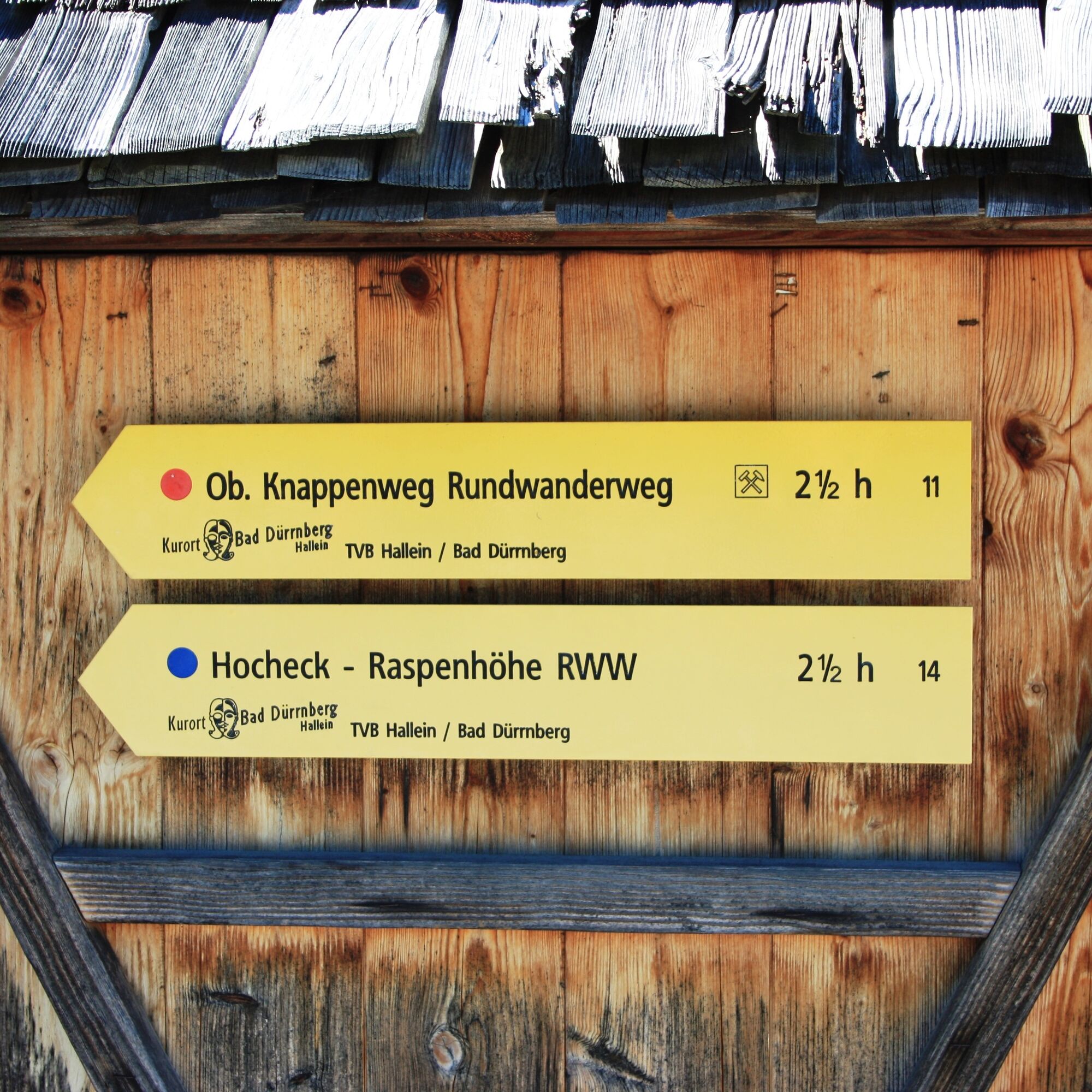
On this themed trail, green signs at several stations point to former mine entrances and daylight mines.
Obľúbené výlety v okolí
-
4,5
Hoher Göll vom Alpeltal
ťažkéTuristika 15,0 km -
4,7
Reitsteig - Dopplersteig Runde_Untersberg
strednáVysoké turné 9,89 km -
3,7
Malerwinkel Rundwanderweg
svetloTuristika 3,60 km -
3,7
Durch die Almbachklamm nach Ettenberg
Turistika 7,54 km -
4,2
Hike to the Kleiner Barmstein via the Thürndl ruin
strednáTuristika 4,20 km -
4,0
TG18 Osterhorn-round
strednáMountainbike 57,0 km -
4,8
Schlenken and Schmittenstein hike
ťažkéTuristika 10,9 km -
4,9
von Schönau am Königssee zum Watzmannhaus und zurück
strednáTuristika 17,1 km -
5,0
Untersberg (Salzburger Hochthron)
strednáTuristika 11,8 km -
4,0
From Latschenwirt over Tannenwinkel to Wolfschwang
svetloTuristika 5,55 km
Turistika a stopovanie


Nenechajte si ujsť ponuky a inšpiráciu na ďalšiu dovolenku
Vaša e-mailová adresa bol pridaný do poštového zoznamu.