


From Kaltenhausen to the Großer Barmstein (10 points)


Already early in the over 500-year history of Hofbräu Kaltenhausen, tunnels in the Barmsteine were used for storing beer. Today, the path up to the Großer and Kleiner Barmstein is considered a popular...
Already early in the over 500-year history of Hofbräu Kaltenhausen, tunnels in the Barmsteine were used for storing beer. Today, the path up to the Großer and Kleiner Barmstein is considered a popular but demanding hiking trail. We gladly return to the beer after the hike.

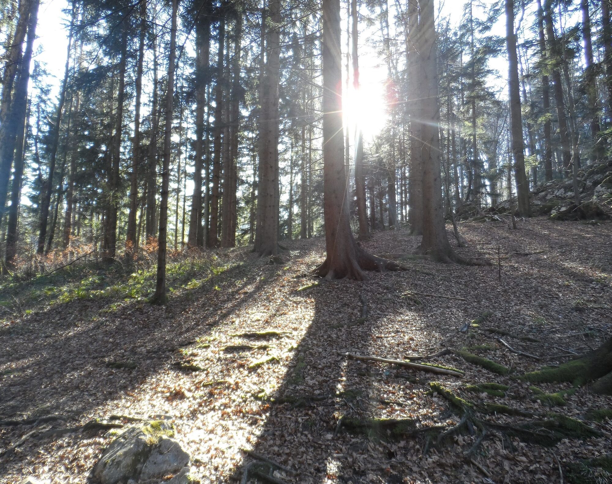
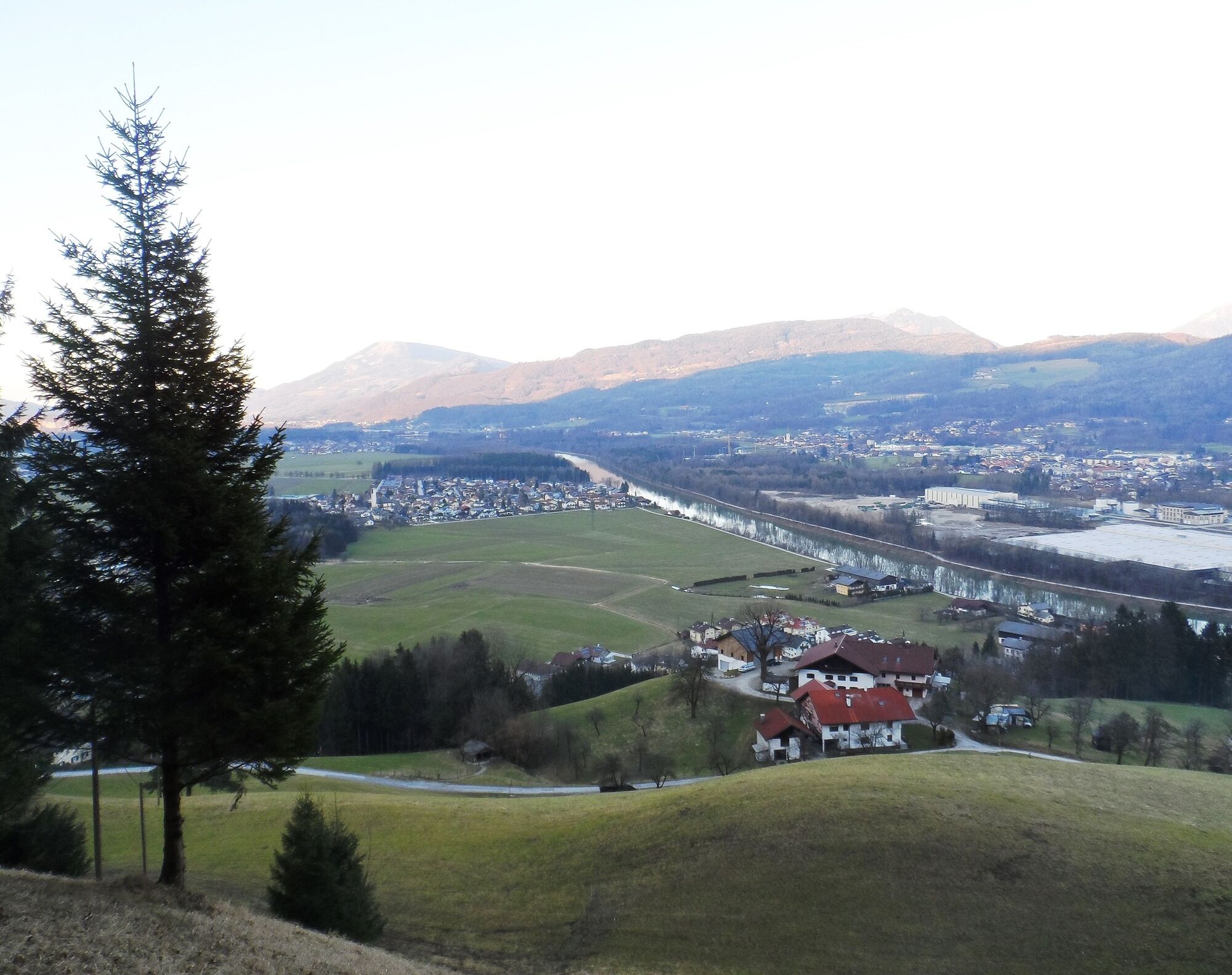
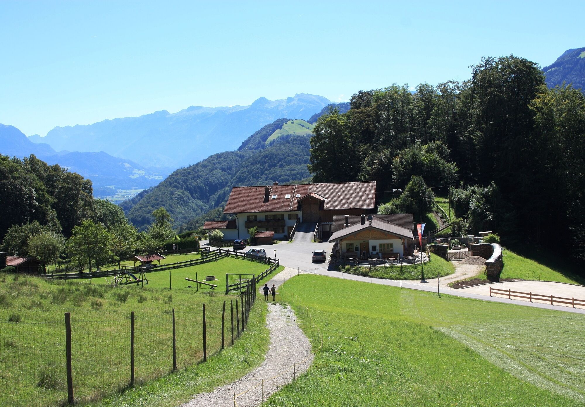
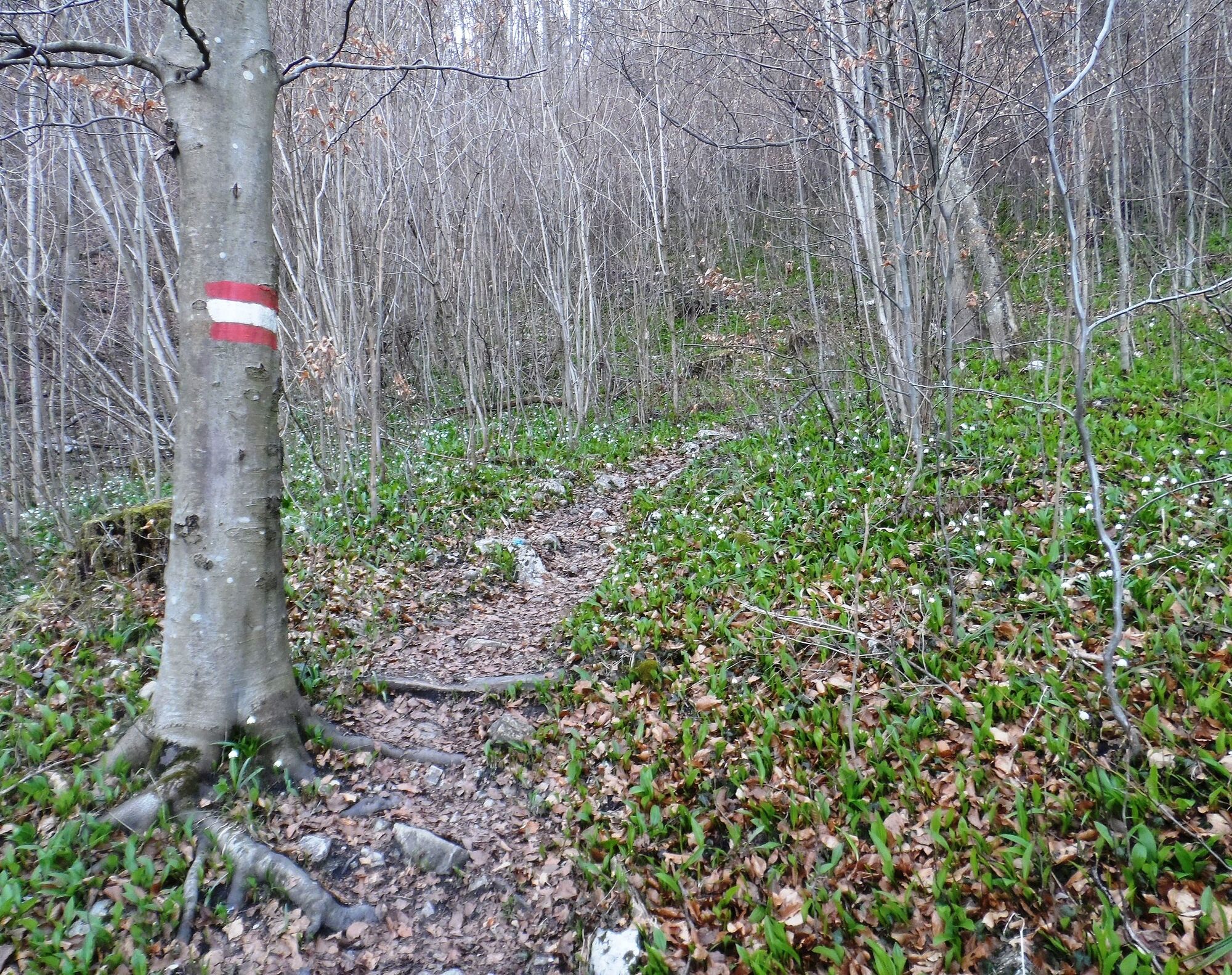
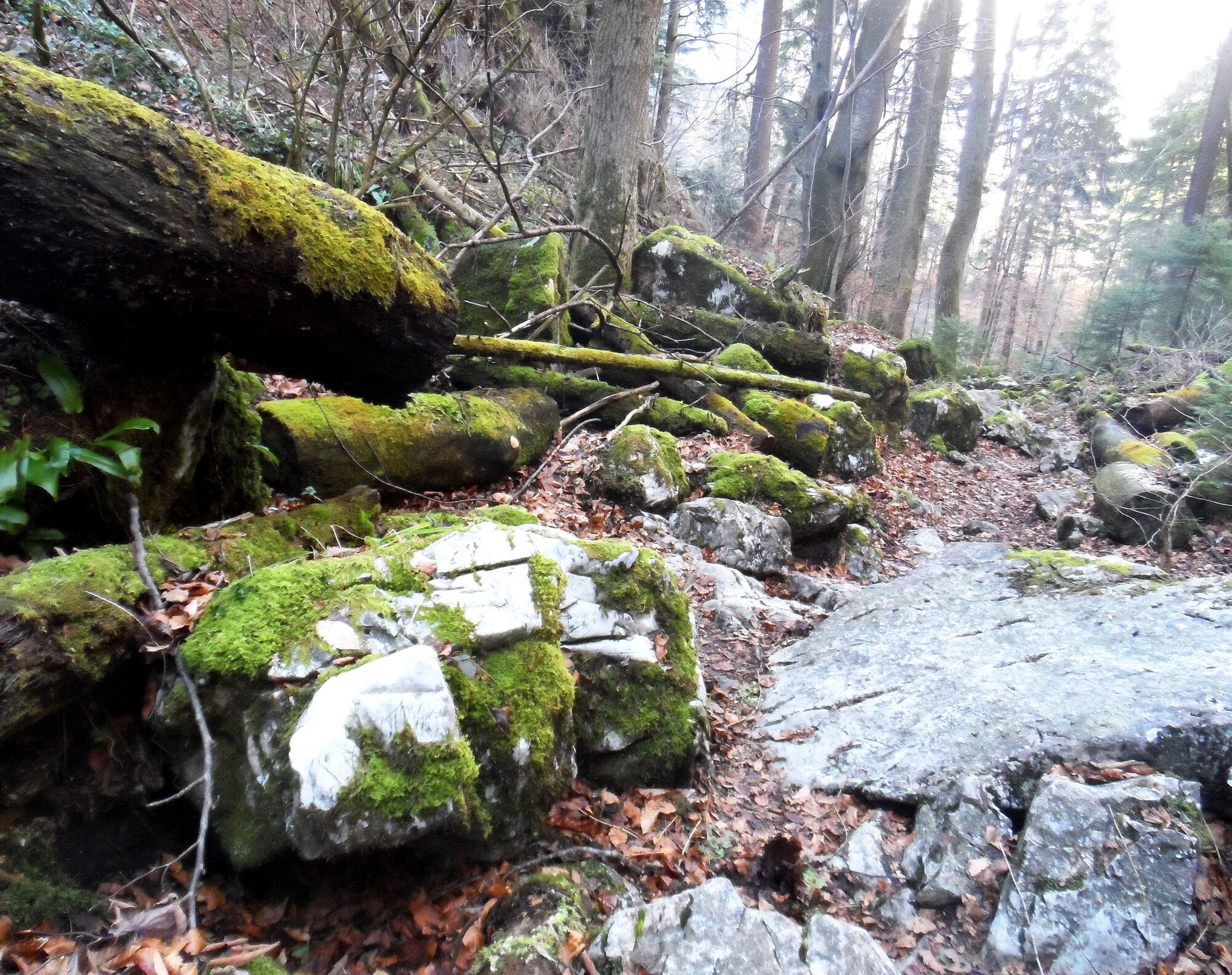
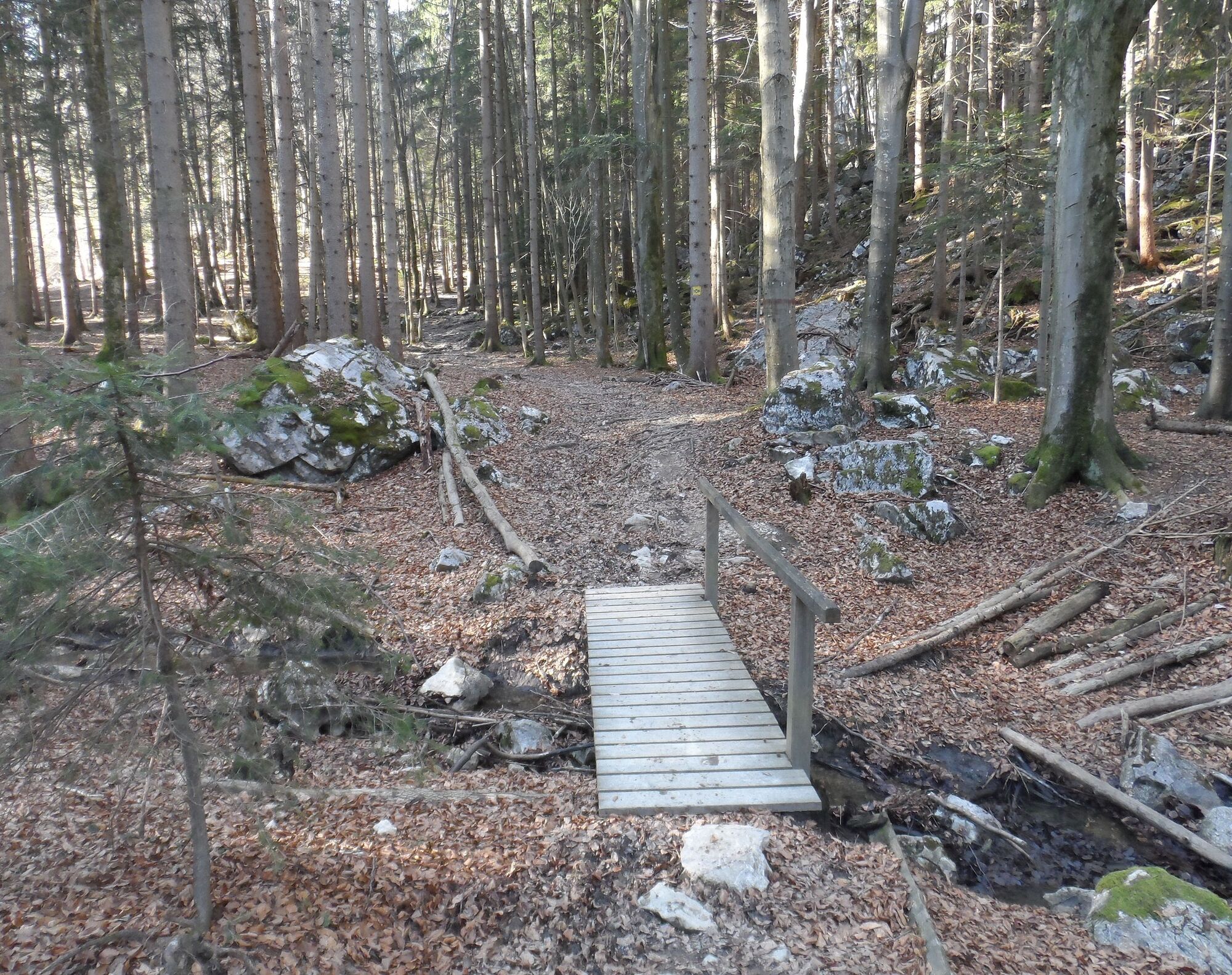
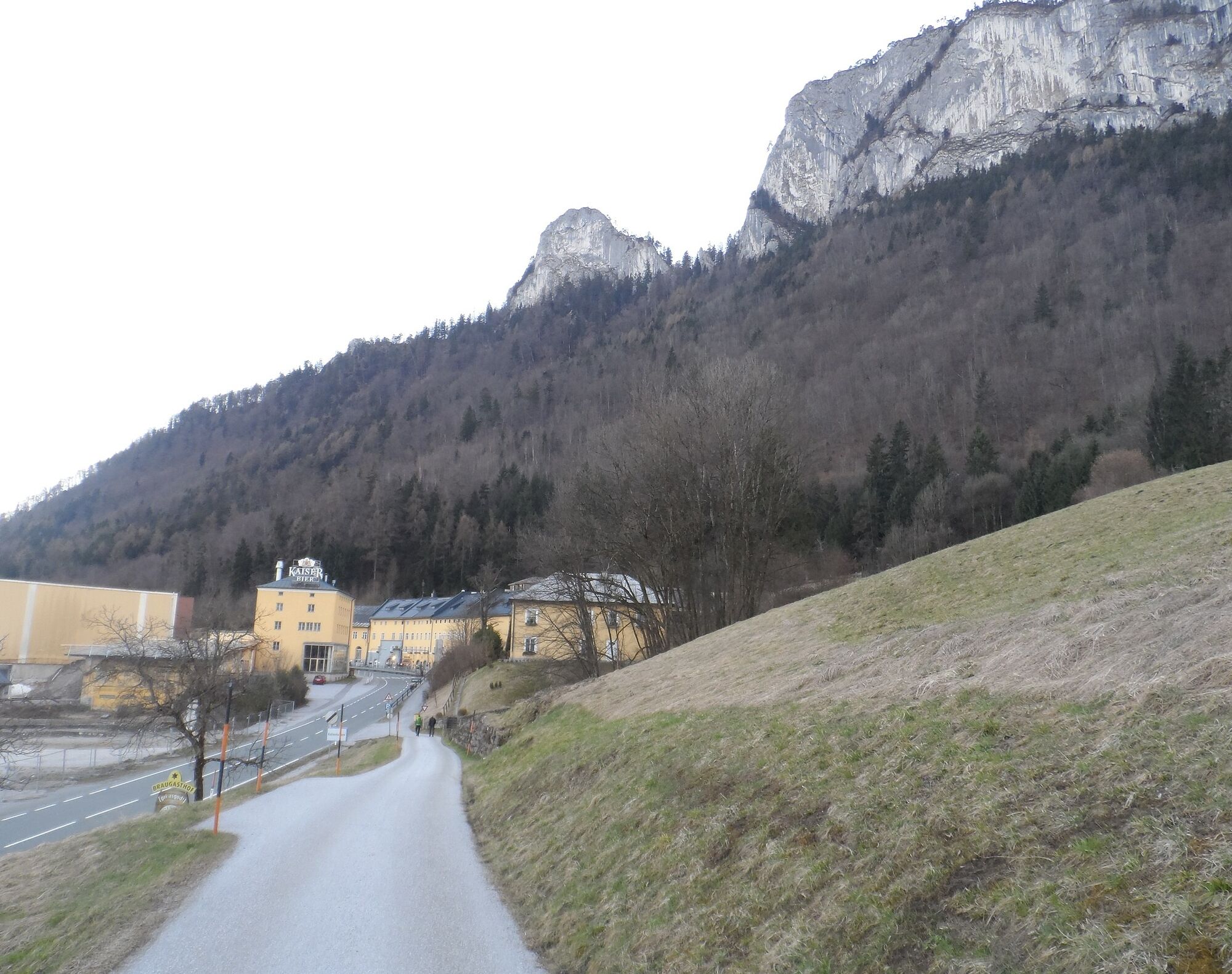
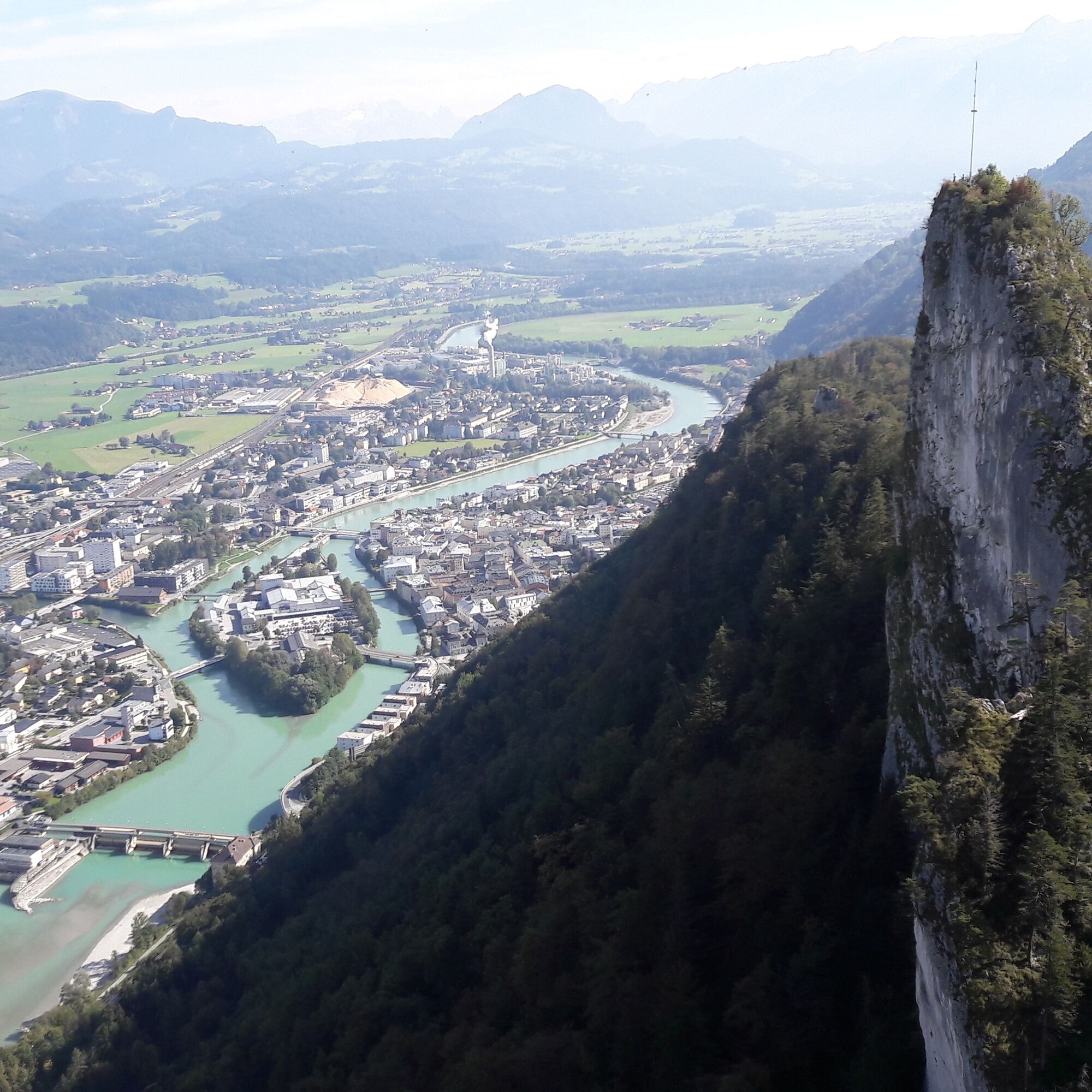
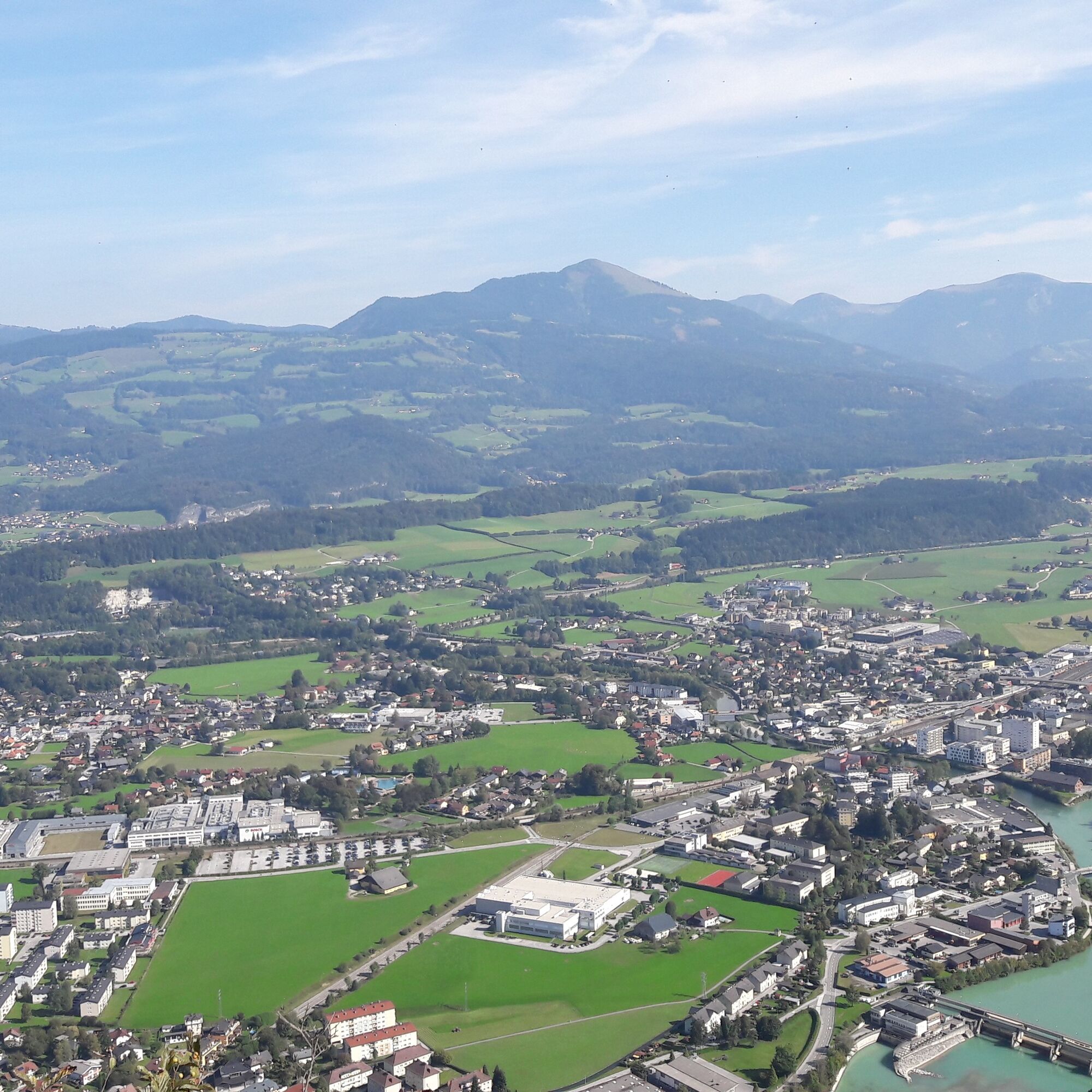
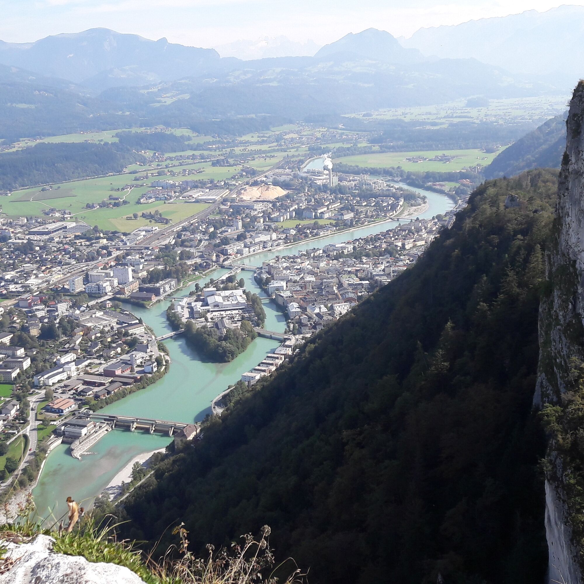
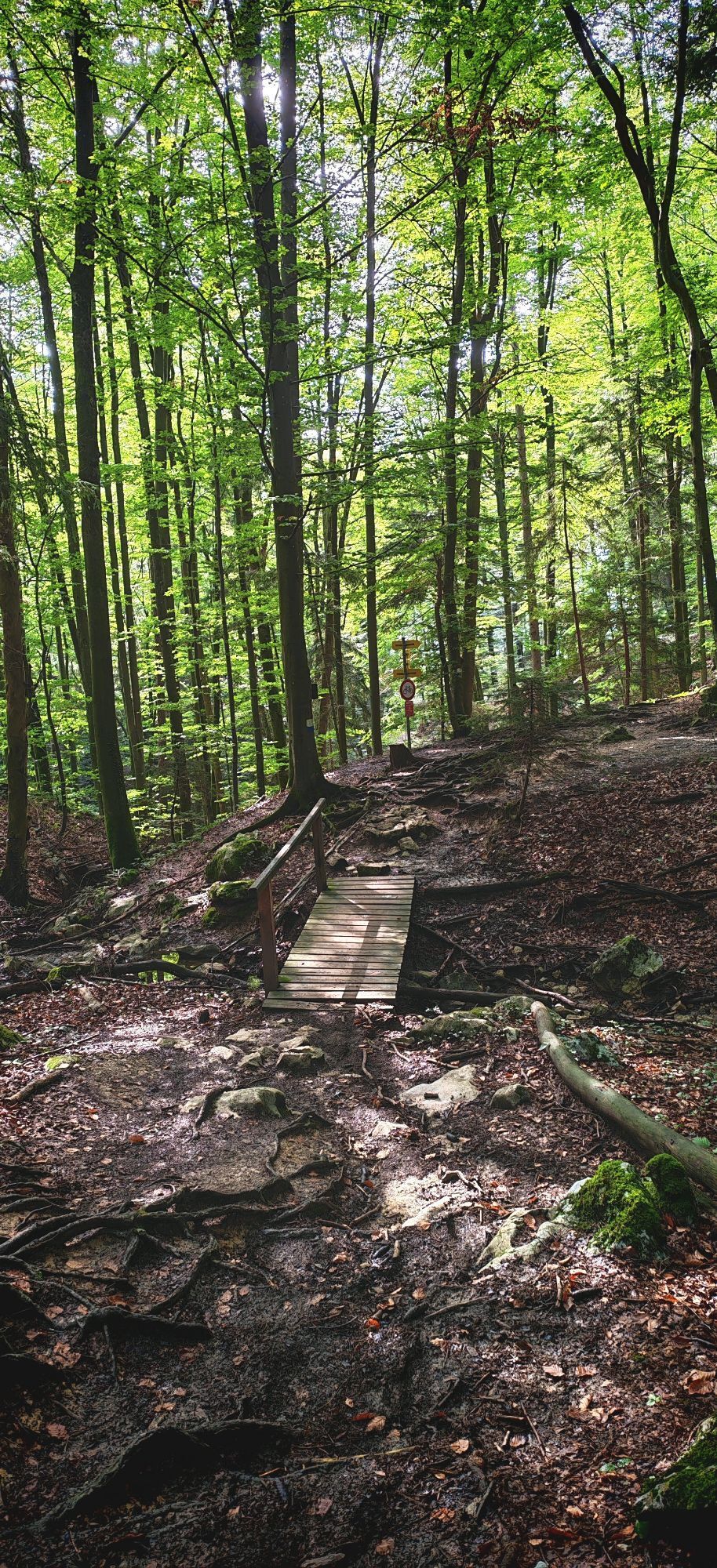
We start our hike at the Hofbräu Kaltenhausen near Hallein. To the right behind the main building of the historic brewery, we follow the Braumeisterweg uphill and thus reach the steep hillside forest below the mighty Barmsteine rising behind it. After a few meters, the path crosses a slightly wider forestry road which is crossed at a slight angle. A blue marking indicates the access on the other side to a narrow path, which is covered by dense foliage and therefore somewhat difficult to find. Now it goes steeply uphill on the well-marked path further up the mountain. Over root systems and small streams, we climb higher and higher up the mountain and finally reach a small clearing where the path splits. We continue hiking in the direction of "Großer Barmstein - 30 min." The path leads us through a fairy-tale setting. Moss-covered boulders and coarse root systems line the path which winds through gorge-like formations between mighty rocks. After a few minutes, we turn left at a junction toward the Großer Barmstein.
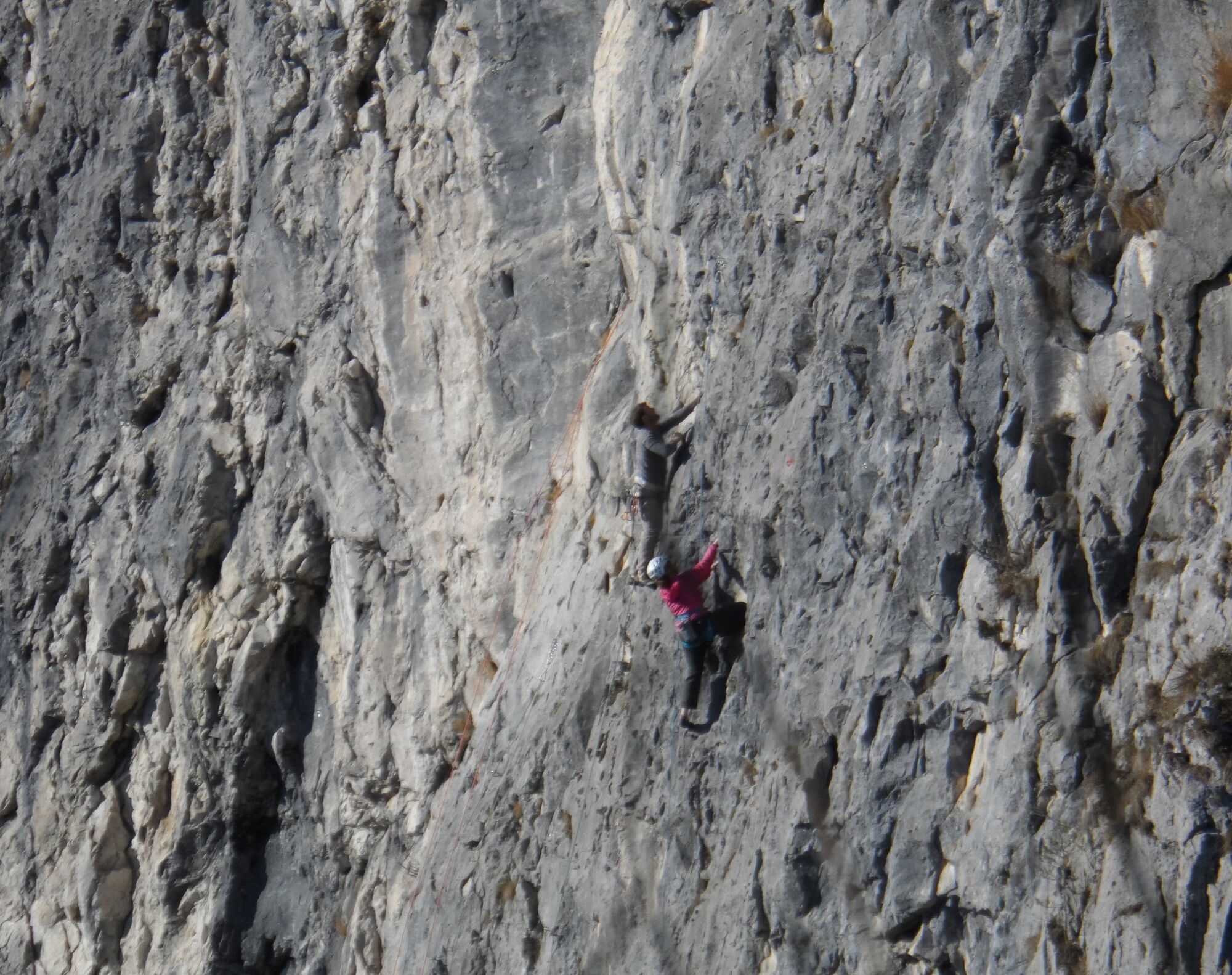
WARNING: This part of the hike is really only recommended for experienced, sure-footed hikers without fear of heights! The path is partly secured with steel cables and exposed.
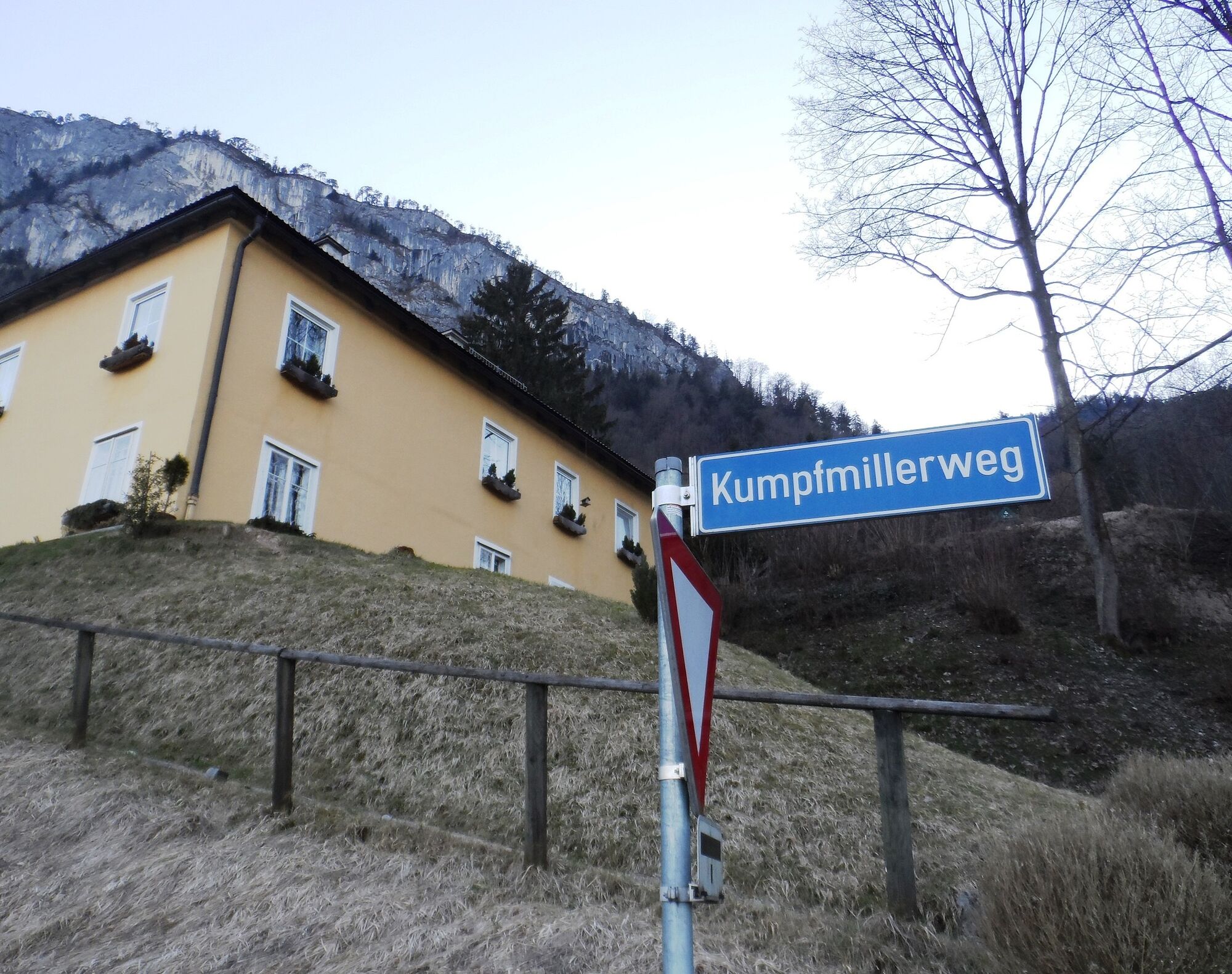
The return route follows the same way back to the aforementioned clearing; at the junction, however, we now go straight ahead (Kaltenhausen - 45 min). The path widens into a forestry road and leads downhill in large switchbacks. On the Kumpfmillerweg, it goes back to our starting point.
At the end, get your stamp for your Tennengau hiking pass and enjoy a well-deserved refreshment at the Bräustübl Kaltenhausen.
Áno
Áno
Sturdy footwear and surefootedness are absolutely necessary on this hike.
The hike to the Großer Barmstein is steep and partly somewhat challenging up to the junction "Großer Barmstein - 30 min," but generally easy to walk. The last part of the hike, however, is only recommended for alpine-experienced persons, as we are partly in very exposed terrain secured at key points with steel cables.
Please always remember that you are on hikes described here in the mountains, in the open nature, and partly in alpine terrain.
Our content has been compiled with the greatest care, but liability is explicitly excluded. Dangers can never be completely ruled out, and the use of all information and tour descriptions is at your own risk!
On the Tauern Autobahn (A10), take the Hallein exit (Exit 16) towards Hallein. We follow the signpost "Zentrum" and turn right onto the Pernerinsel on the city bridge. At the roundabout, take the second exit and follow the road out of town to Kaltenhausen.
By train to Hallein station, from there by bus no. 170 (Hallein - Salzburg) to Kaltenhausen.
Parking available at Hofbräu Kaltenhausen.
Information and tips on hiking in Hallein / Bad Dürrnberg:
https://www.hallein.com/erleben/ausfluege/?category=wandern
Information about Hofbräu Kaltenhausen:
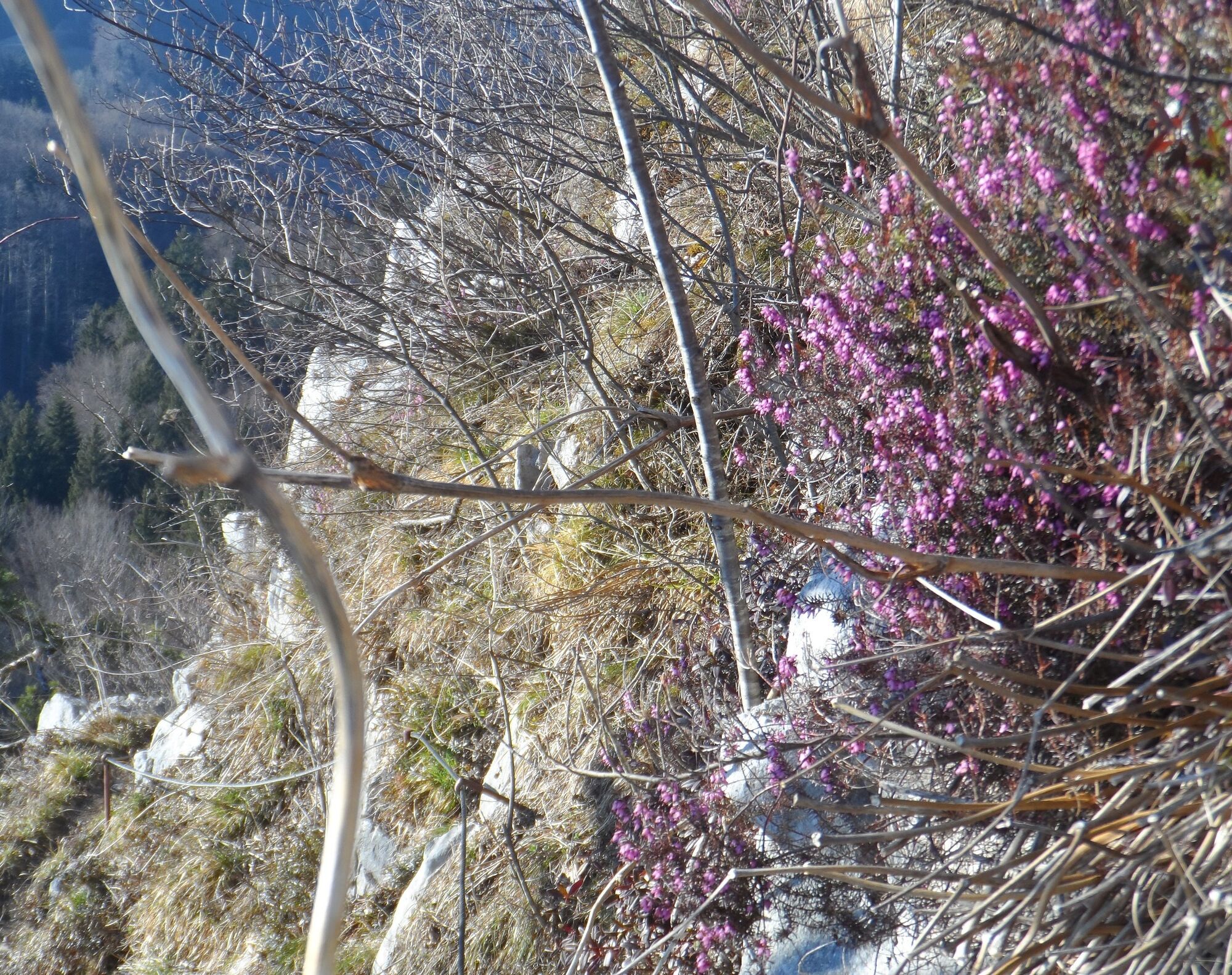
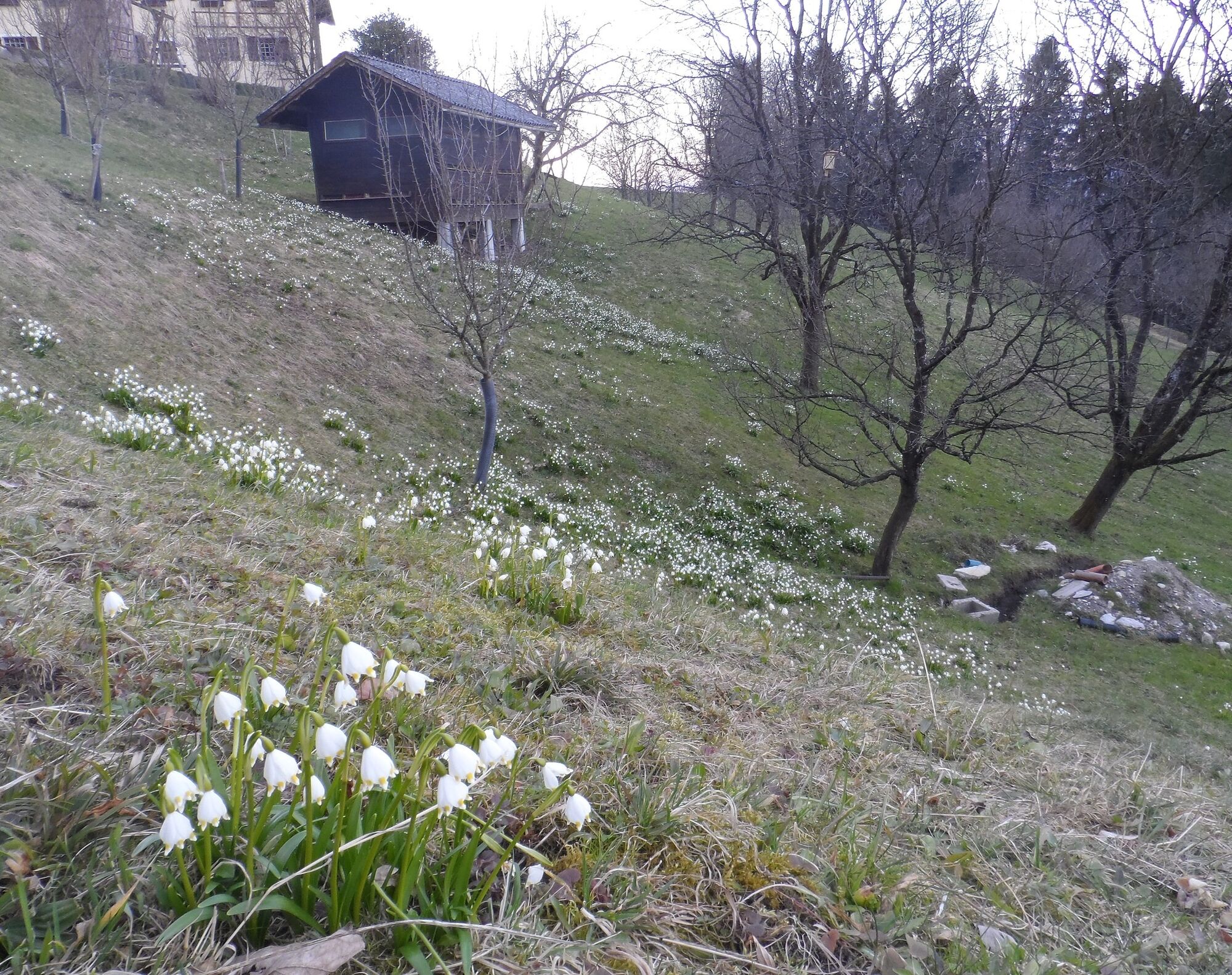
This hike is especially beautiful in spring: In the light-flooded forests below the mighty Barmsteine, spring pheasant's eye and liverleaf bloom at this time, and the forest is filled with the scent of young wild garlic.
Webové kamery z prehliadky
Obľúbené výlety v okolí
-
4,2
Idyllic Hintersee Rund
svetloTuristika 5,10 km -
4,5
Hoher Göll vom Alpeltal
ťažkéTuristika 15,0 km -
4,7
Reitsteig - Dopplersteig Runde_Untersberg
strednáVysoké turné 9,89 km -
3,7
Malerwinkel Rundwanderweg
svetloTuristika 3,60 km -
4,2
Hike to the Kleiner Barmstein via the Thürndl ruin
strednáTuristika 4,20 km -
3,7
Durch die Almbachklamm nach Ettenberg
Turistika 7,54 km -
4,8
Schlenken and Schmittenstein hike
ťažkéTuristika 10,9 km -
4,7
Kneifelspitze
Turistika 2,53 km -
5,0
Untersberg (Salzburger Hochthron)
strednáTuristika 11,8 km -
3,8
UNTERSBERG: Salzburger Hochtrohn (1852m)
strednáTuristika 11,2 km
Turistika a stopovanie


Nenechajte si ujsť ponuky a inšpiráciu na ďalšiu dovolenku
Vaša e-mailová adresa bol pridaný do poštového zoznamu.