


Hirschbichl - Bindalm - Hintersee


Fotografie našich používateľov
-

 © G FVytvorené dňa 20.09.2025
 -

 © Andreas WillimVytvorené dňa 20.09.2025
 -
 © Andreas WillimVytvorené dňa 20.09.2025
 -
 © Andreas WillimVytvorené dňa 20.09.2025
 -
 © Andreas WillimVytvorené dňa 20.09.2025
 -
 © Enkidu55Vytvorené dňa 19.01.2025
 -
 © Enkidu55Vytvorené dňa 19.01.2025
 -
 © Enkidu55Vytvorené dňa 19.01.2025
 -
 © Enkidu55Vytvorené dňa 19.01.2025
 -
 © thschoeVytvorené dňa 03.07.2019
 -
 © Simon BrummerVytvorené dňa 03.09.2025
 -
 © Simon BrummerVytvorené dňa 03.09.2025
 -
 © Simon BrummerVytvorené dňa 03.09.2025
 -
 © Simon BrummerVytvorené dňa 03.09.2025
 -
 © Simon BrummerVytvorené dňa 03.09.2025
 -

 © Aufi 1Vytvorené dňa 19.09.2024
 -
 © Aufi 1Vytvorené dňa 19.09.2024
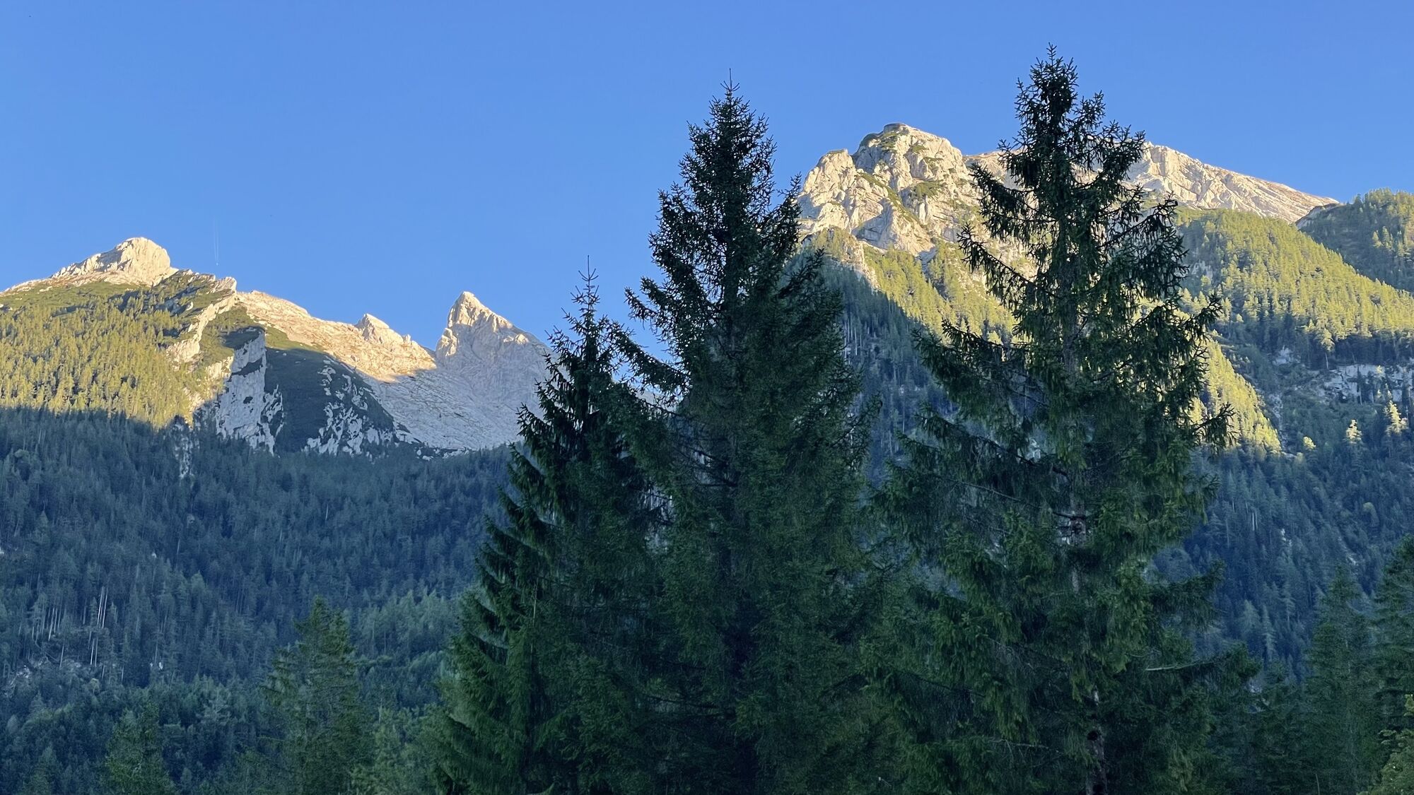
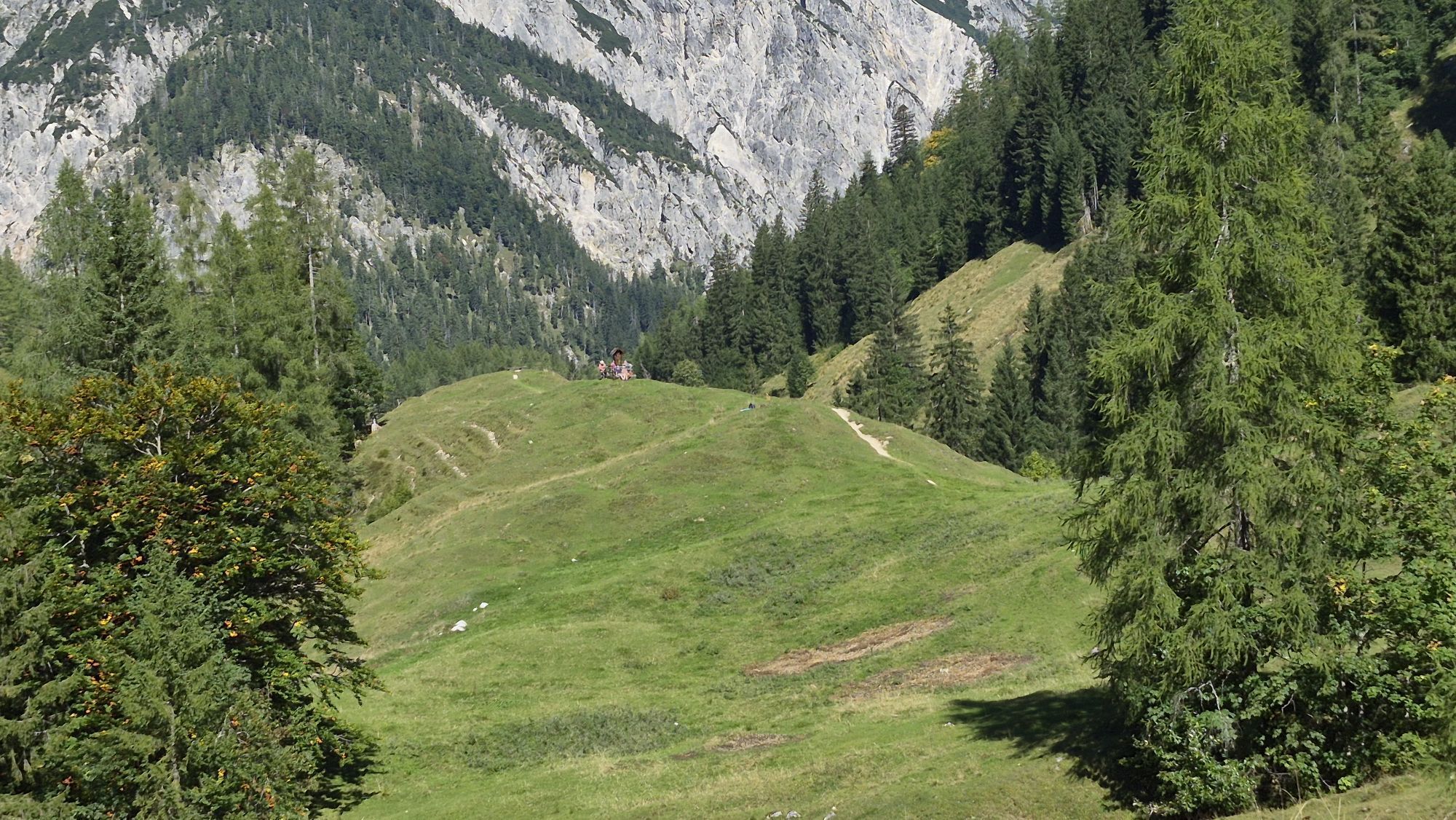

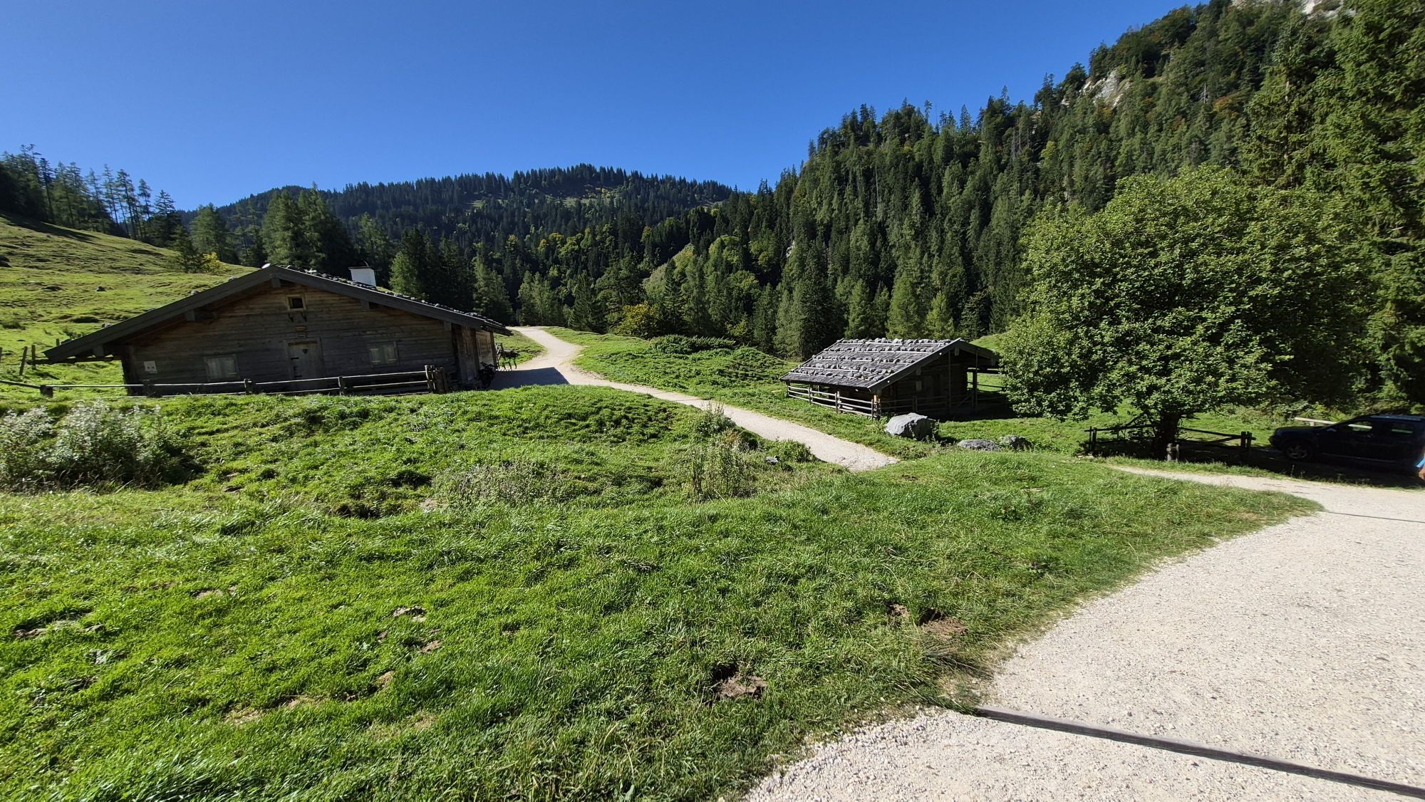
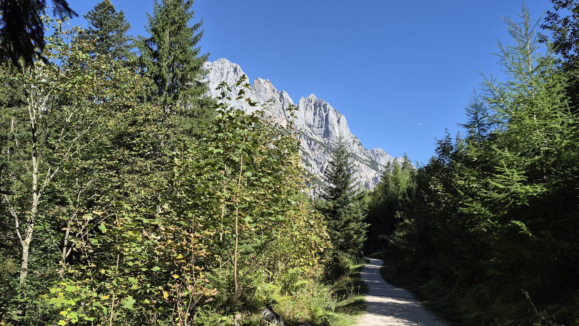

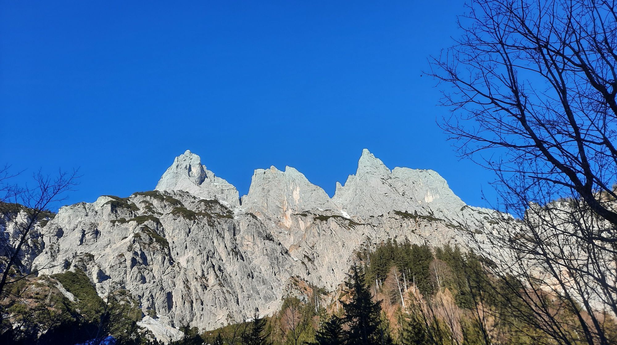

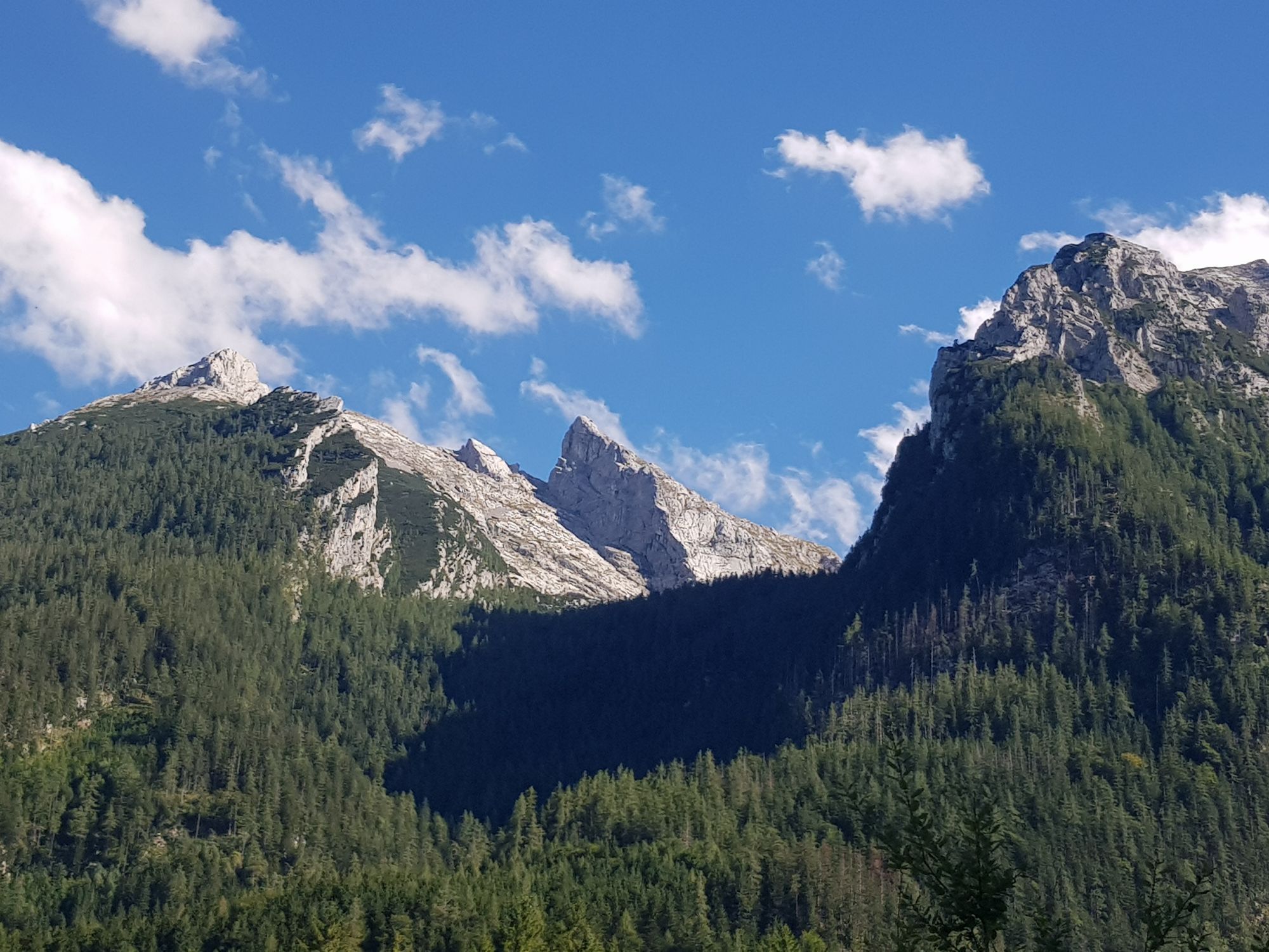
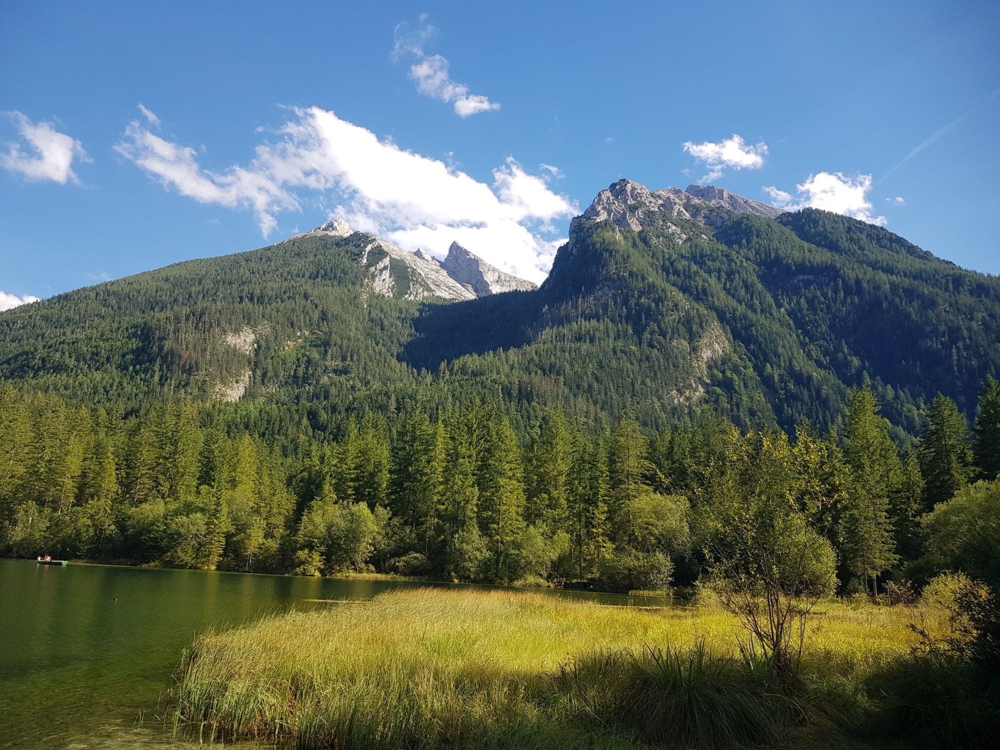
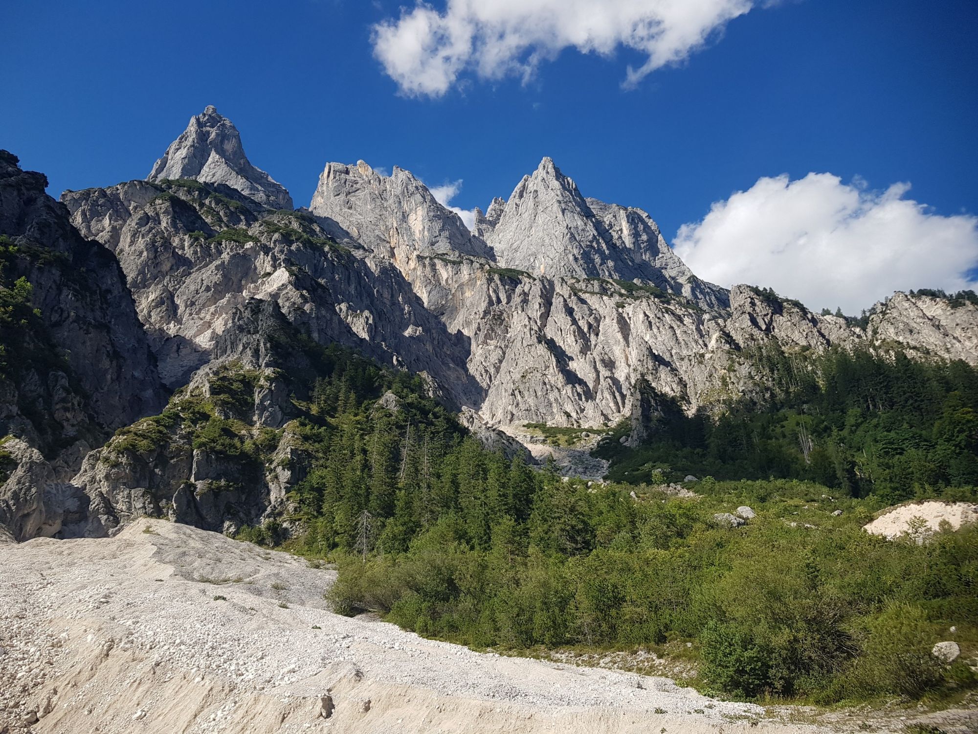
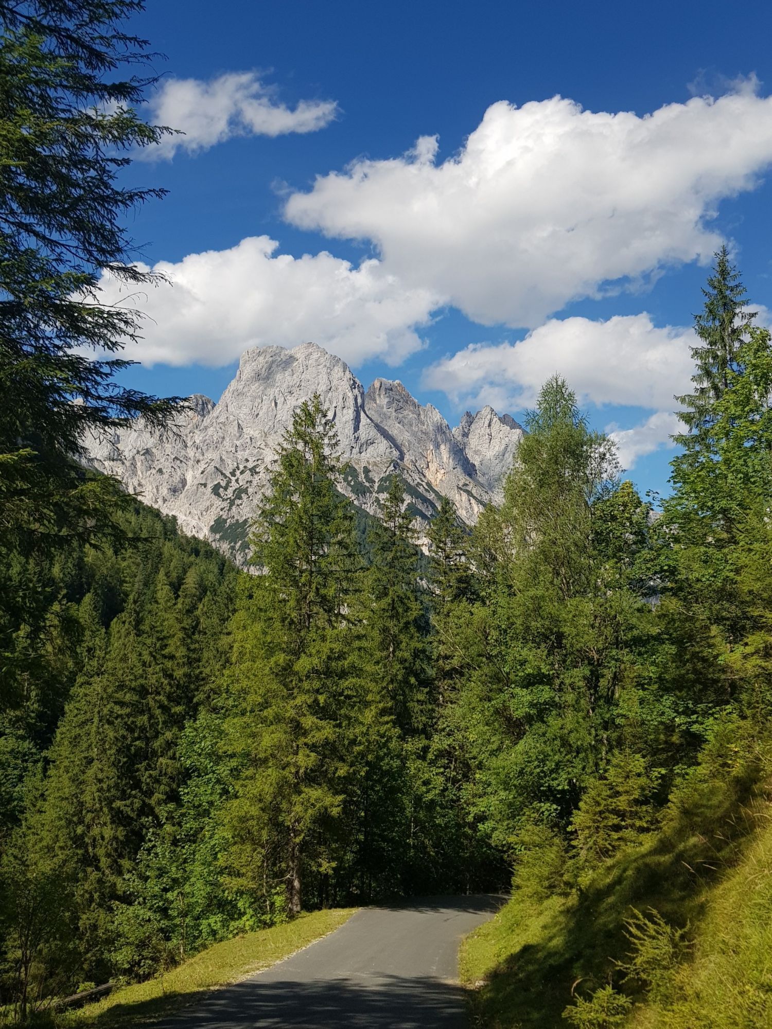

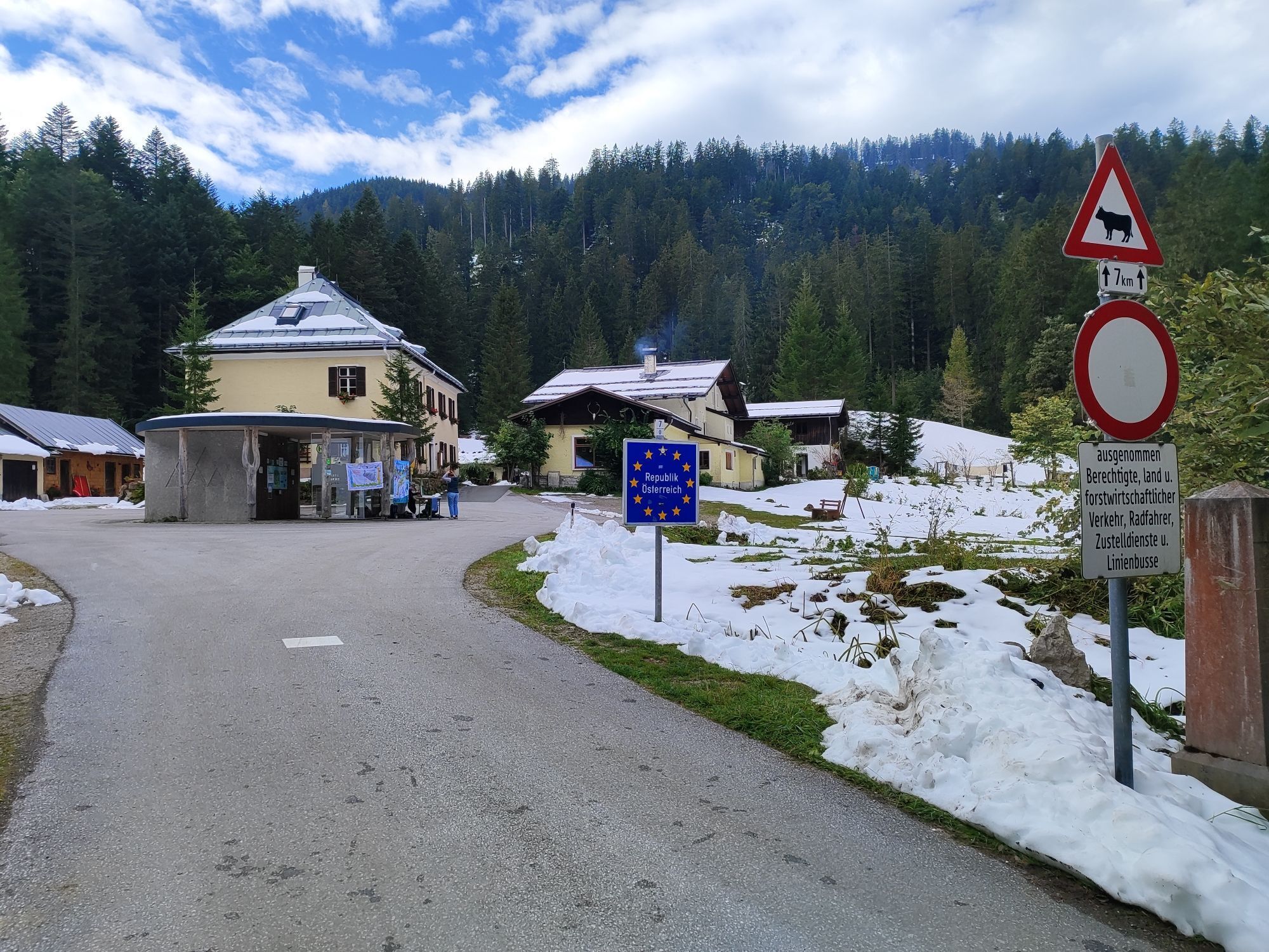

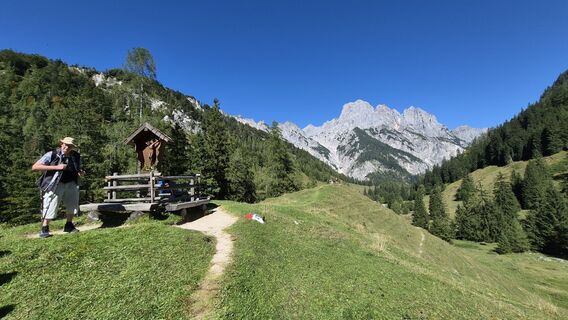
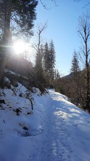
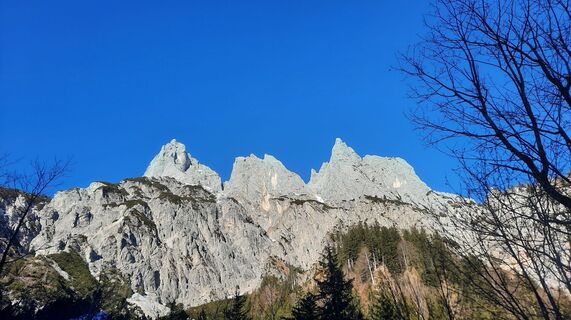
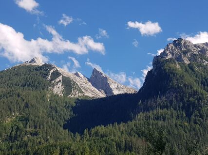
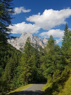
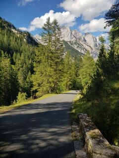
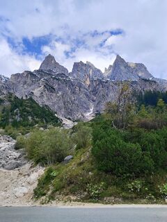
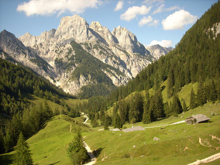
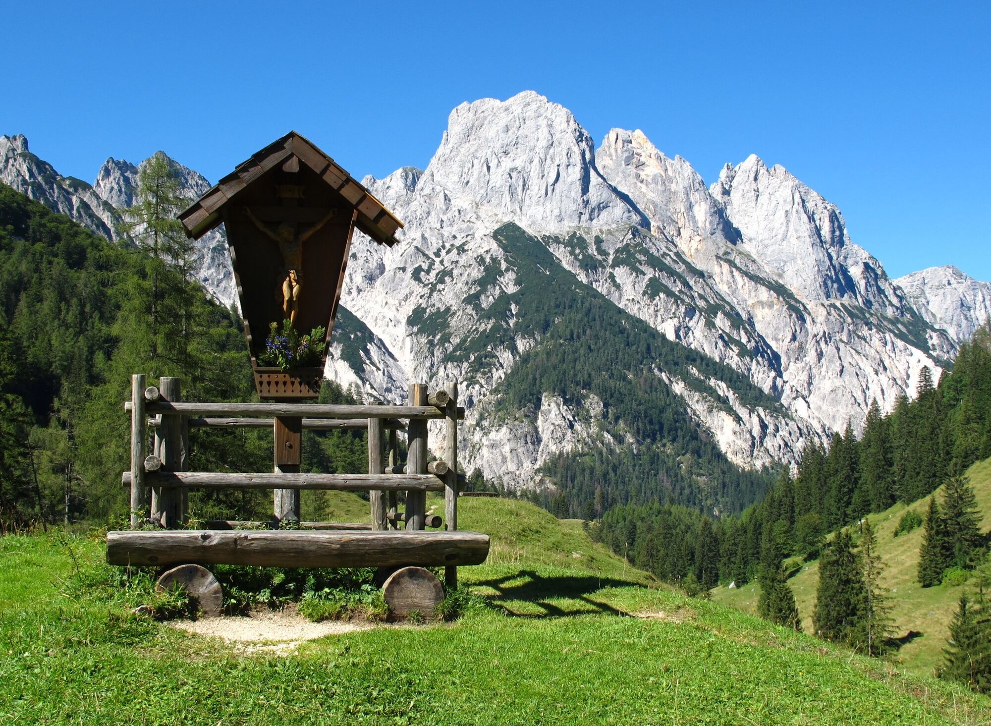
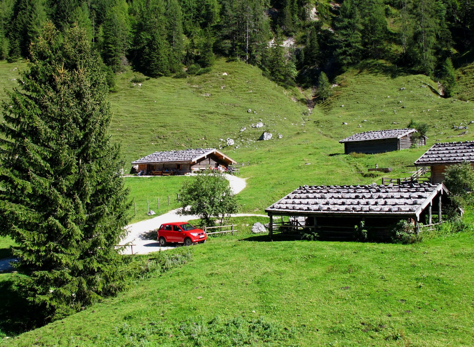
At the mountain inn Hirschbichl in Weißbach near Lofer you cross the state border to Bavaria and hike downhill to Bindalm. Several mountain pastures line the path from Hirschbichl to Hintersee. Halsalm...
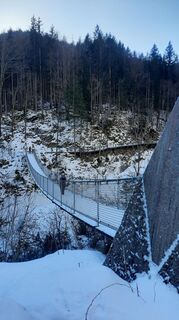
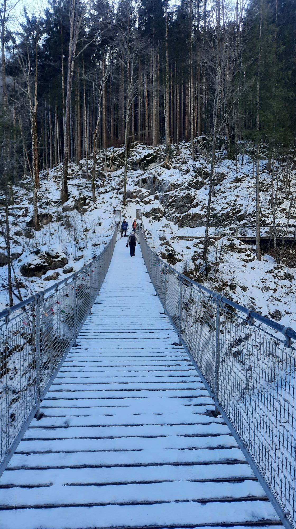
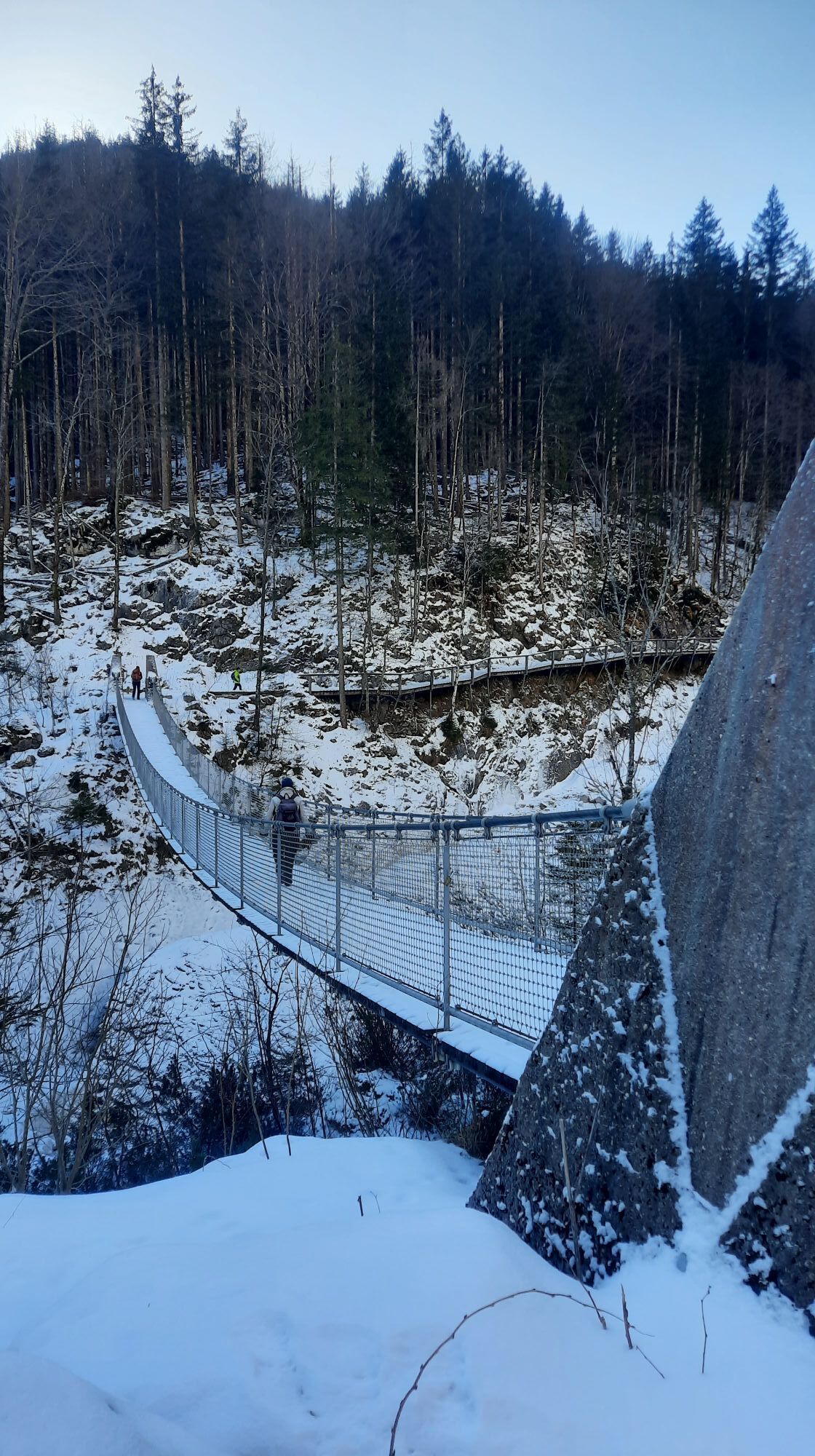
At the mountain inn Hirschbichl in Weißbach near Lofer you cross the state border to Bavaria and hike downhill to Bindalm. Several mountain pastures line the path from Hirschbichl to Hintersee. Halsalm is also accessible from Klausbachtal. Along the path there is also wildlife feeding with a viewing platform, as well as an accessible suspension bridge.

Mountain inn Hirschbichl - Bindalm - Hirschbichlklausgraben - Grundübelau - Lahnwald - Diensthütte - Klausbachtal - Hintersee
Clothing: Comfortable hiking boots, breathable clothing depending on the weather (T-shirt, light trousers).
Equipment: Small backpack, sunscreen, hat or cap, first aid kit, mobile phone.
Provision: Sufficient water, snacks (energy bars, nuts, dried fruits).
Navigation aids: Map or hiking app, compass (optional).
Others: Lightweight pocket knife or multitool, insect repellent (if necessary).
As needed: Rain jacket, sunglasses.
By car via the L110 (Hirschbichl state road) to the Waltlmühlsäge car park (no entry). About half an hour walking time to Hirschbichl.
It is possible to travel to Weißbach by bus line 260. (Timetable)
From Weißbach continue with the AlmErlebnisBus to Hirschbichl. Return trip also available.
Waltlmühlsäge car park. (€4.00 per day)
The return journey is very relaxed with the AlmErlebnisBus.
Webové kamery z prehliadky
Obľúbené výlety v okolí
-
3,7
Malerwinkel Rundwanderweg
svetloTuristika 3,60 km -
3,2
From Heutal to Sonntagshorn in the Salzburger Saalachtal
strednáTuristika 11,7 km -
4,5
Rundweg vom Hintersee zur Halsalm
strednáTuristika 9,53 km -
5,0
Königssee - Kärlinger-Haus
Turistika 10,1 km -
4,9
von Schönau am Königssee zum Watzmannhaus und zurück
strednáTuristika 17,1 km -
4,4
Wimbachgrieshütte
Turistika 8,30 km -
4,5
Birnbachloch Leogang, Österreich
strednáTuristika 5,18 km -
5,0
Watzmann Überschreitung an einem Tag
ťažkéTuristika 23,9 km -
4,2
Halsalm
Turistika 6,43 km -
5,0
Sonntagshorn über Hochalm (Unken, Heutalbauer)
strednáTuristika 11,2 km
Turistika a stopovanie


Nenechajte si ujsť ponuky a inšpiráciu na ďalšiu dovolenku
Vaša e-mailová adresa bol pridaný do poštového zoznamu.