


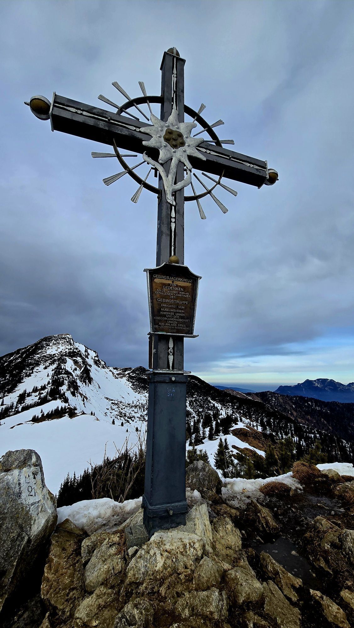
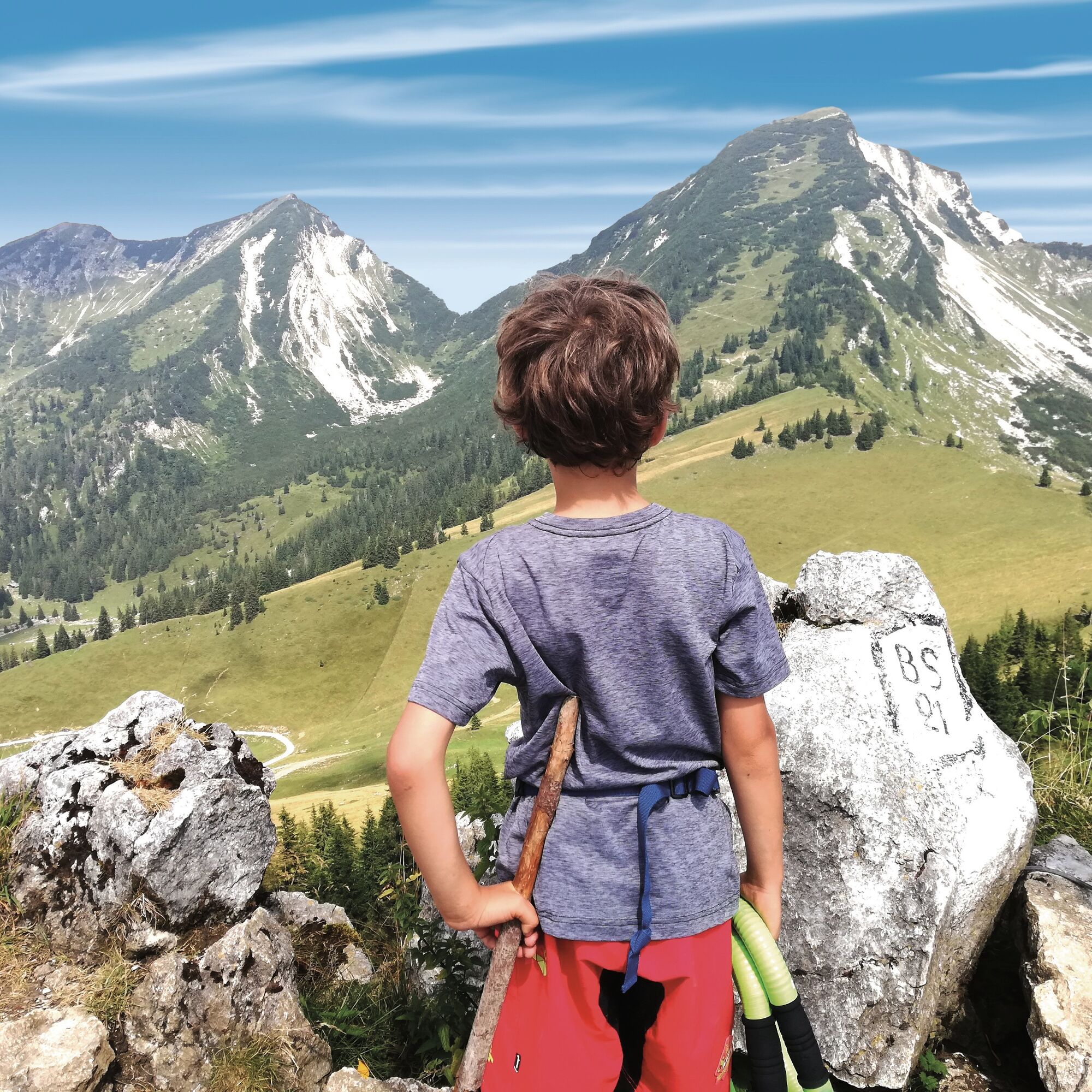
A bit of climbing is a must - Peitingköpfl on the Hochalm


Fotografie našich používateľov
-
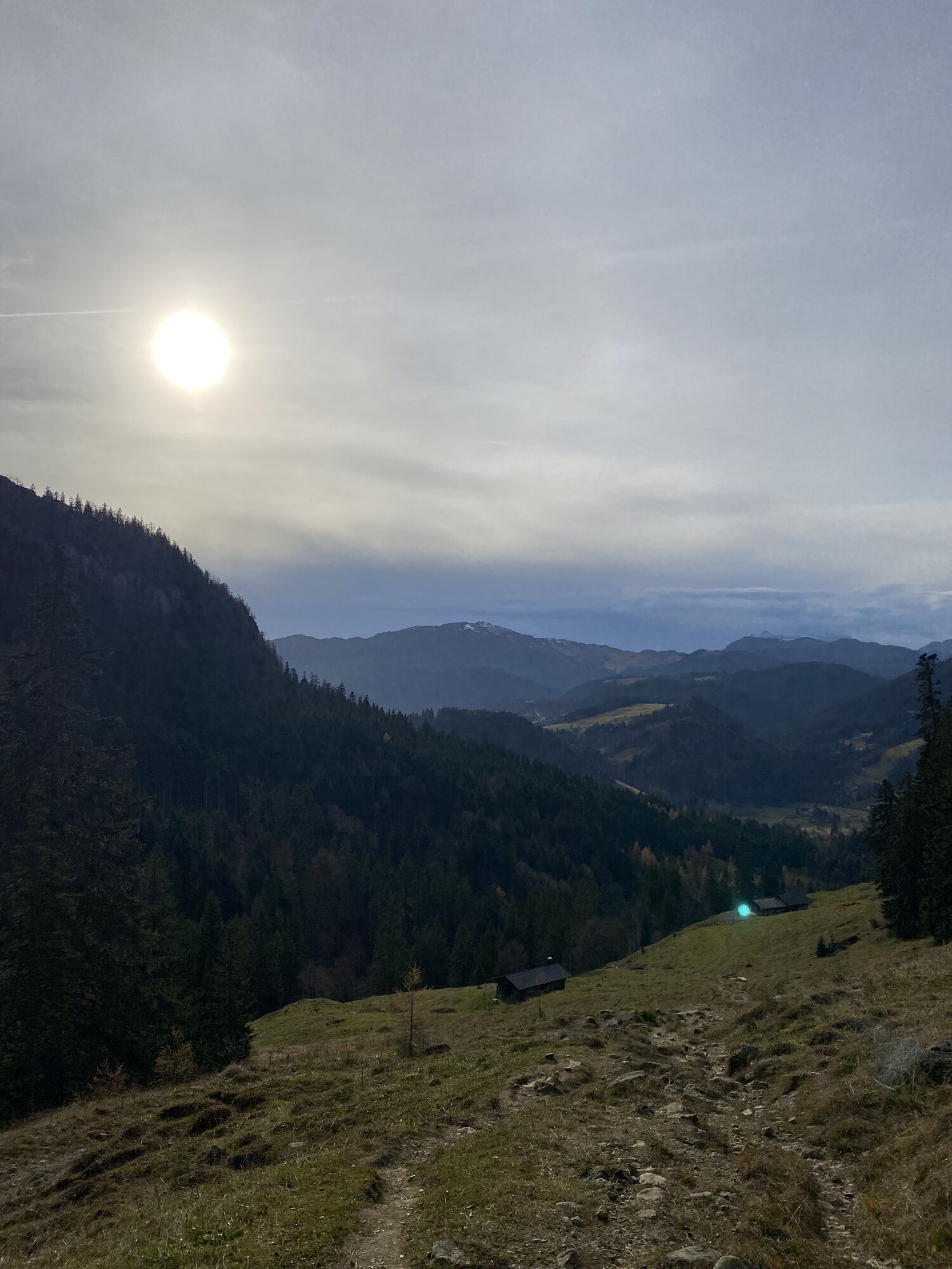
 © Sven KrieblinVytvorené dňa 16.11.2025
 -
 © Sven KrieblinVytvorené dňa 16.11.2025
 -
 © Sven KrieblinVytvorené dňa 16.11.2025
 -
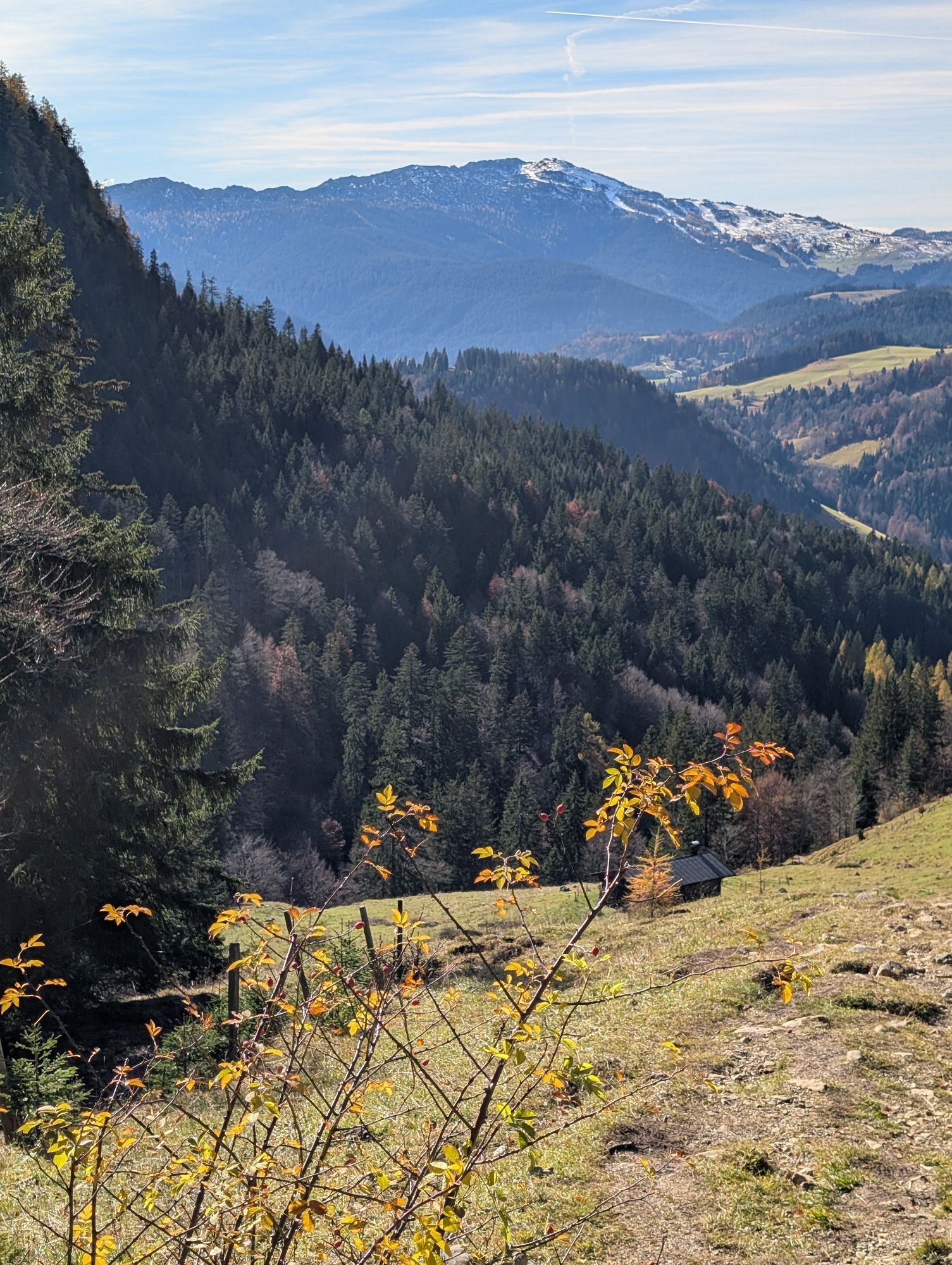
 © PfefferamVytvorené dňa 31.10.2025
 -
 © PfefferamVytvorené dňa 31.10.2025
 -
 © PfefferamVytvorené dňa 31.10.2025
 -
 © PfefferamVytvorené dňa 31.10.2025
 -
 © PfefferamVytvorené dňa 31.10.2025
 -
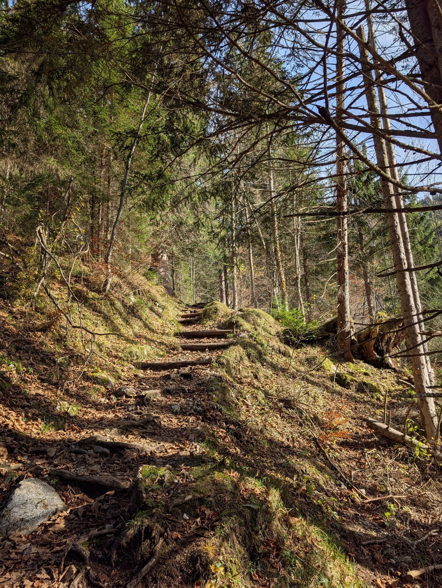
 © Madeleine SchumacherVytvorené dňa 03.10.2025
 -
 © Madeleine SchumacherVytvorené dňa 03.10.2025
 -
 © Madeleine SchumacherVytvorené dňa 03.10.2025
 -
 © Madeleine SchumacherVytvorené dňa 03.10.2025
 -
 © Madeleine SchumacherVytvorené dňa 03.10.2025
 -
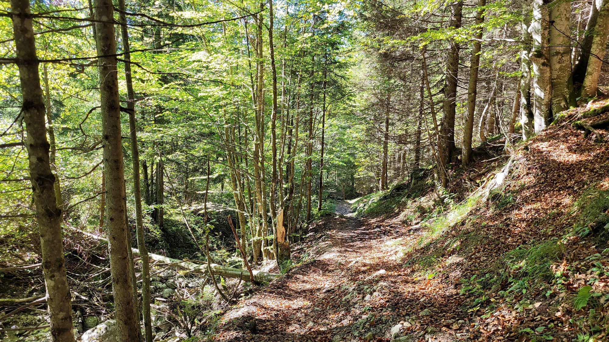
 © Gerhard FaugelVytvorené dňa 27.08.2025
 -
 © Gerhard FaugelVytvorené dňa 27.08.2025
 -
 © se_muckVytvorené dňa 09.02.2025
 -
 © se_muckVytvorené dňa 09.02.2025
 -
 © se_muckVytvorené dňa 09.02.2025
 -
 © Mustafa IdrizovićVytvorené dňa 14.08.2024


Fitness: strength for about 2 hours uphill with 700 meters elevation gain. Total hiking time about 4 hours.
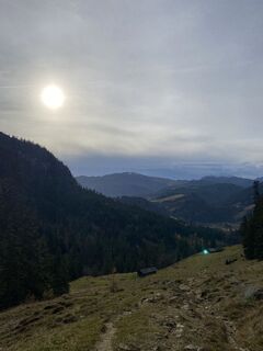
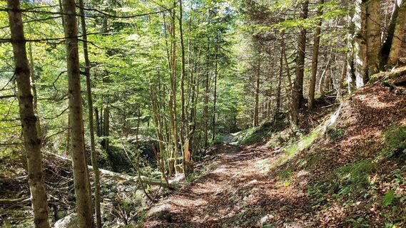
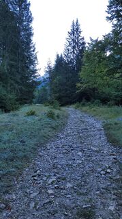
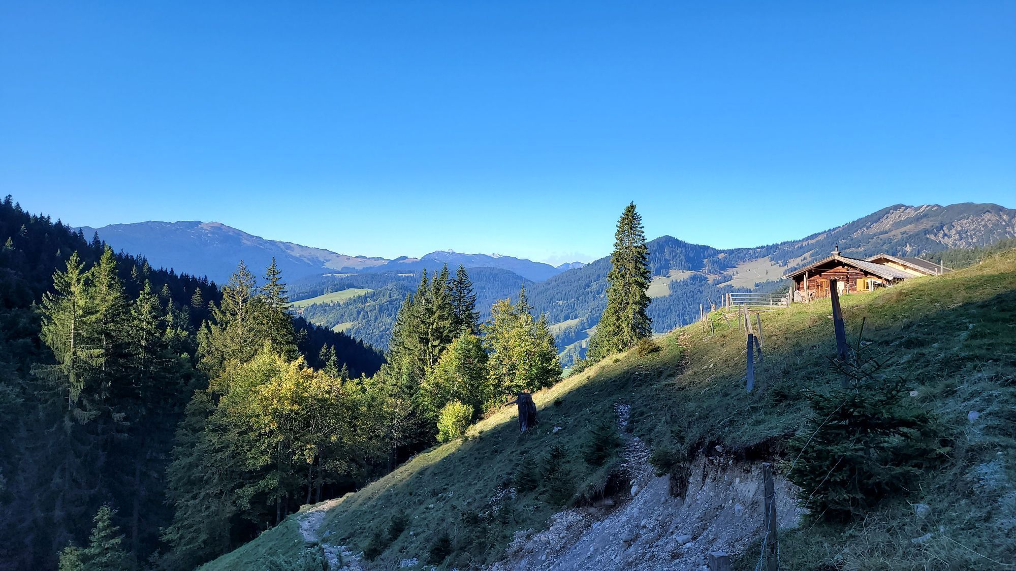
Briefly: The ascent to the alpine pasture runs mostly on a beautiful path through the forest....
Fitness: strength for about 2 hours uphill with 700 meters elevation gain. Total hiking time about 4 hours.
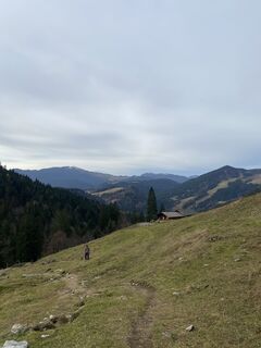
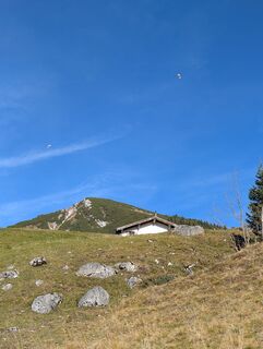
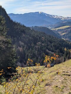
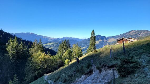
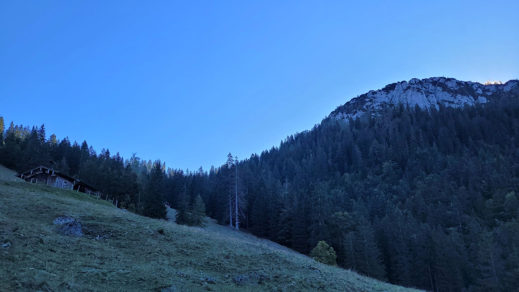
Briefly: The ascent to the alpine pasture runs mostly on a beautiful path through the forest. Afterwards, follow a path over the alpine meadows; in the last section before the summit, there is a small climbing passage included. You may need to briefly use your hands here, but the section is not exposed and is well manageable even for younger hikers. The return follows the same path to the Hochalm and then to the Gschwendteralm on a forest road, where you turn onto a forest path towards Heutalbauer.
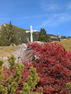
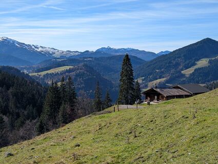
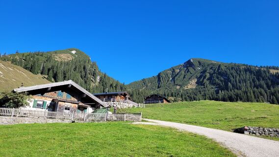
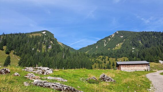
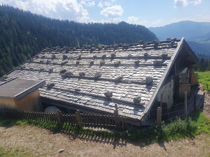
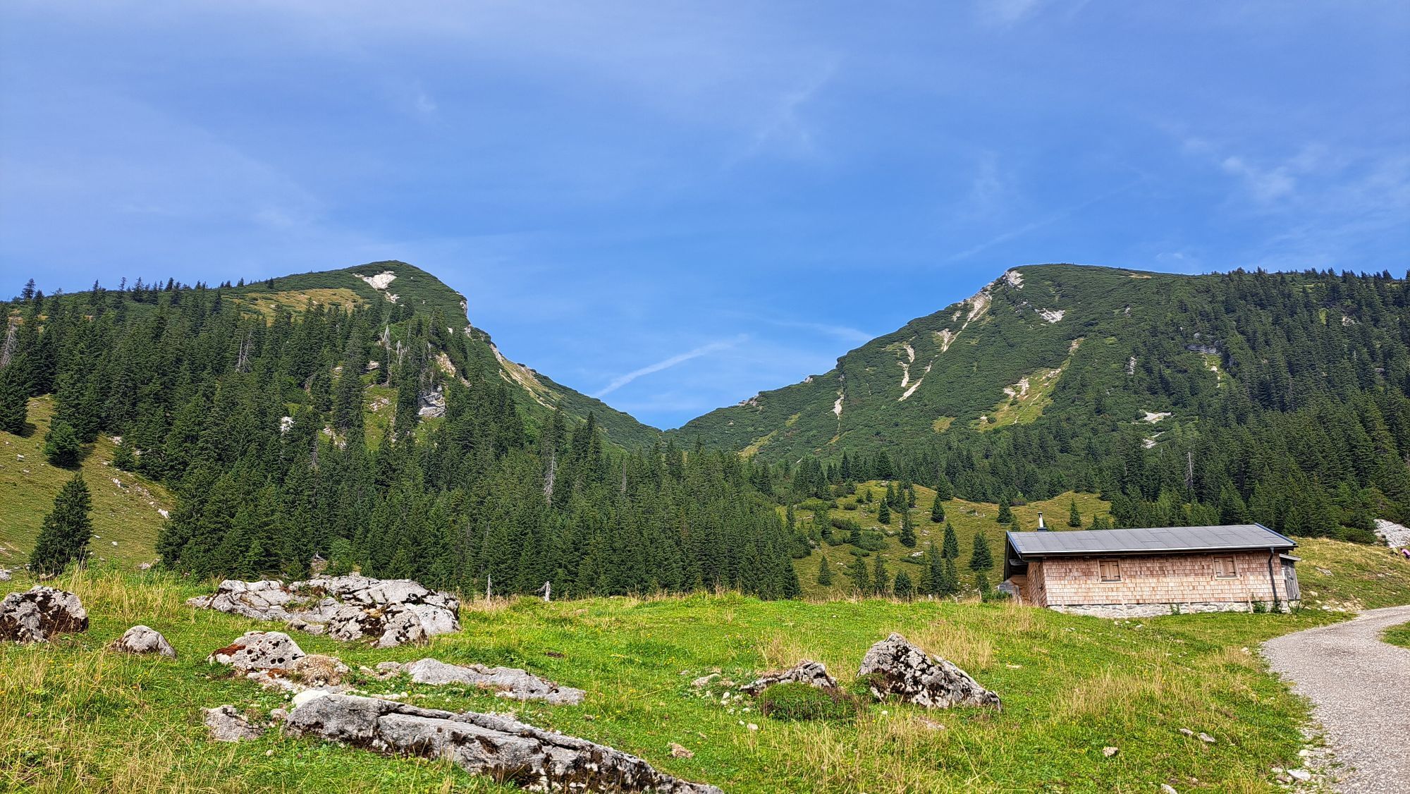
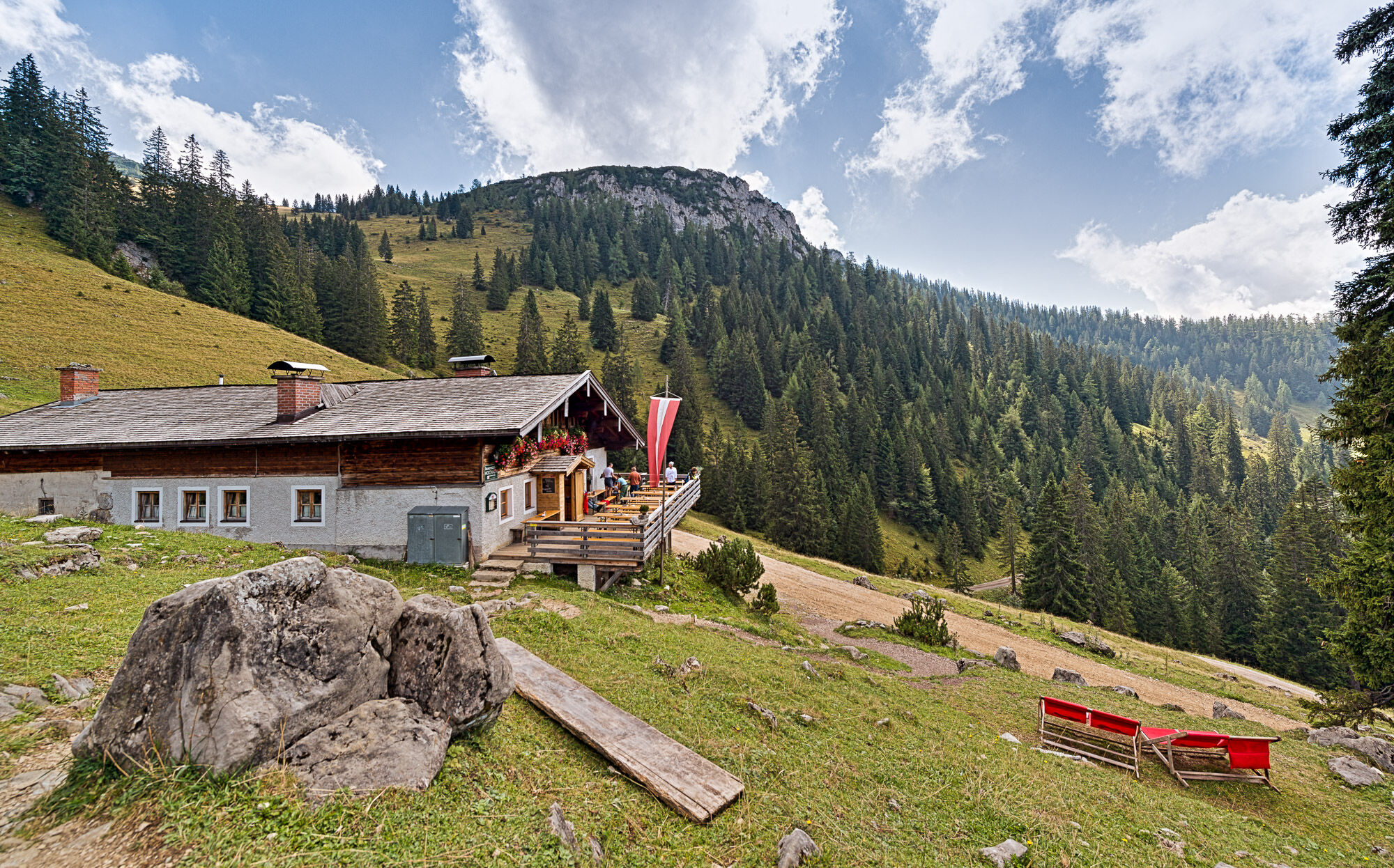
Route highlights: The Hochalm with the snack station as well as the alpine huts and cows ... and of course the summit experience at the Peitingköpfl. Don't forget the summit photo and to sign the summit book.
The route is part of the "Hiking with Kids" in the Salzburg Saalachtal. Duration and difficulty are designed for children/families.


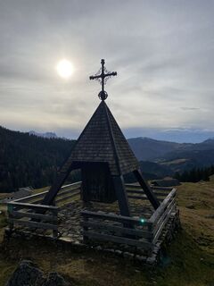
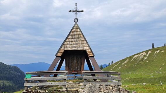
The route starts at parking lot 2 "Heutalbauer" in Unken and leads via hiking trail no. 19 to the Hochalm. Before the snack station, take the forest road to the left, pass the Hubertus Chapel, and then follow trail no. 20 to the Peitingköpfl.
Return the same way to the Hochalm snack station. Continue on the forest road (trail no. 20) to the Gschwendteralm and then take connection 19A back to the start of the route.
Áno
Áno
In addition to a water bottle, we recommend sturdy footwear, warm clothing and rain protection, mobile phone, sunglasses and sun protection (e.g., cap), as well as a small snack.
Via the B178 to Unken and in the village center continue via the Heutaler Landesstraße (L251) to the parking lot at the Heutalbauer.
Take the line bus 260 (timetable) to Unken town center and then change to the Heutal shuttle.
Parking lot P2 "Heutalbauer" (fee required)
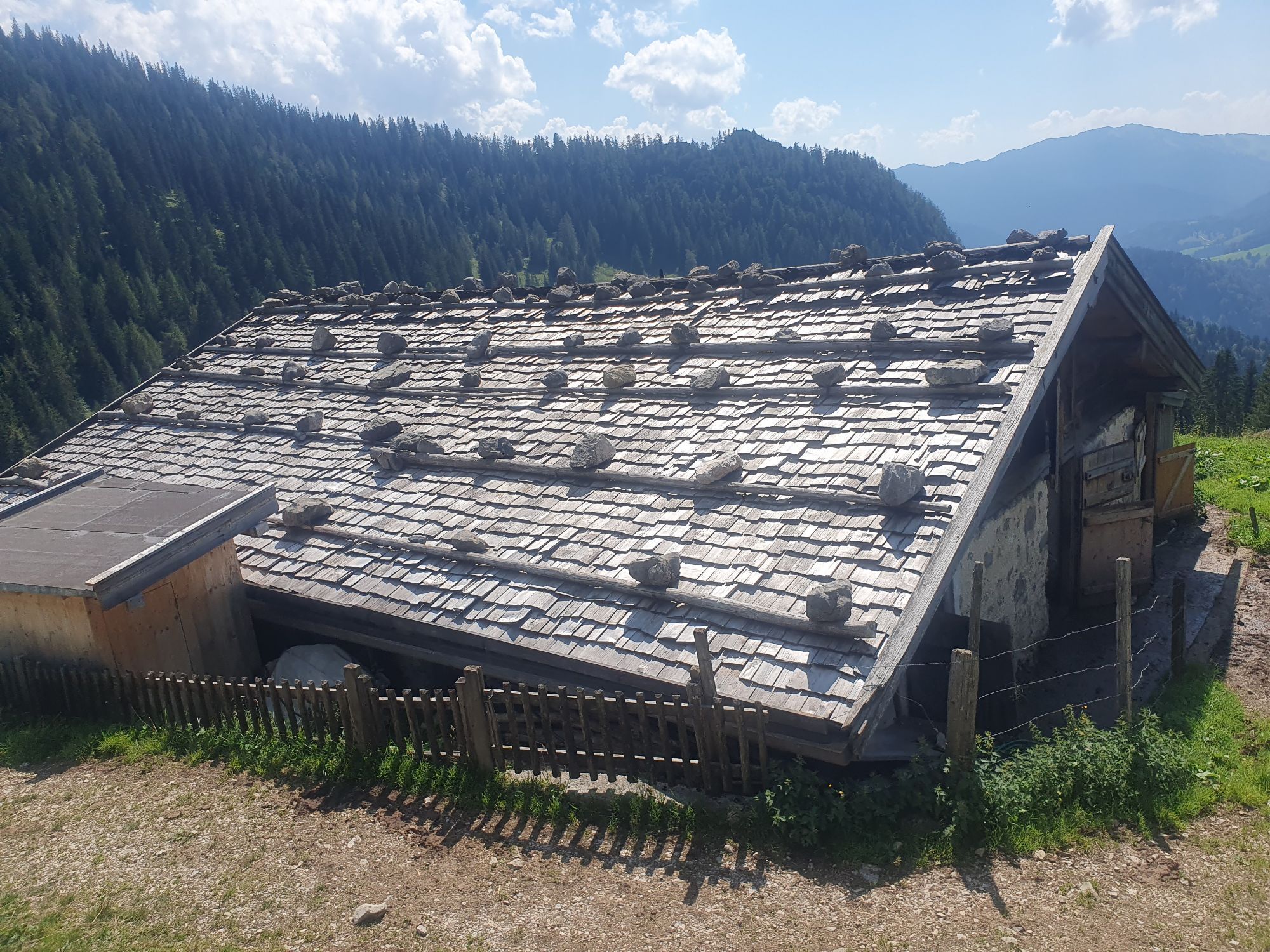
Lovingly homemade alpine treats and cool drinks are available at the Hochalm snack station.
Obľúbené výlety v okolí
-
3,2
From Heutal to Sonntagshorn in the Salzburger Saalachtal
strednáTuristika 11,7 km -
4,5
Rundweg vom Hintersee zur Halsalm
strednáTuristika 9,53 km -
4,2
Halsalm
Turistika 6,43 km -
5,0
Sonntagshorn über Hochalm (Unken, Heutalbauer)
strednáTuristika 11,2 km -
3,6
Rauschberg Rundwanderung über Sackgrabensteig
svetloTuristika 18 km -
2,8
Almerlebnisweg Ramsau
Turistika 11,8 km -
4,6
CHIEMGAU: Hörndlwand (1684m), Gurnwandkopf (1691m)
svetloTuristika 12,6 km -
4,4
Unternberg
svetloTuristika 9,20 km -
4,3
Hochfelln Gipfel
strednáTuristika 5,62 km -
3,3
Aschauerklamm
Turistika 15,1 km
Turistika a stopovanie


Nenechajte si ujsť ponuky a inšpiráciu na ďalšiu dovolenku
Vaša e-mailová adresa bol pridaný do poštového zoznamu.