


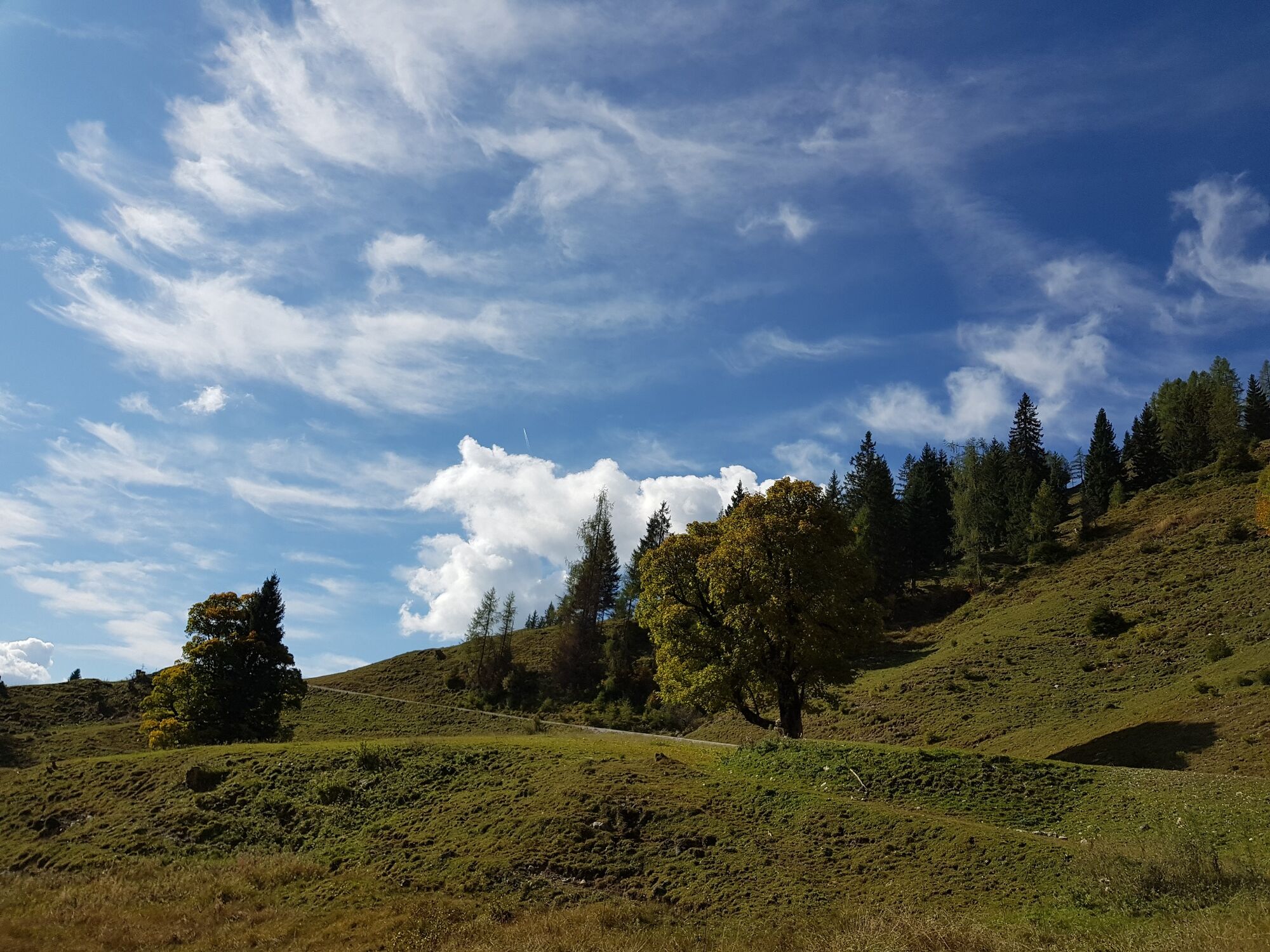
Circular trail through the picturesque Rieding valley


Fotografie našich používateľov
-
 © Monika JeskovaVytvorené dňa 18.10.2025
 -
 © Monika JeskovaVytvorené dňa 18.10.2025
 -
 © Dirk VollbrechtVytvorené dňa 30.07.2025
 -
 © Dirk VollbrechtVytvorené dňa 30.07.2025
 -
 © Dirk VollbrechtVytvorené dňa 30.07.2025
 -
 © Dirk VollbrechtVytvorené dňa 30.07.2025
 -
 © Klaus NeuholdVytvorené dňa 01.09.2024
 -
 © Klaus NeuholdVytvorené dňa 01.09.2024
 -

 © Guido StoffVytvorené dňa 13.06.2024
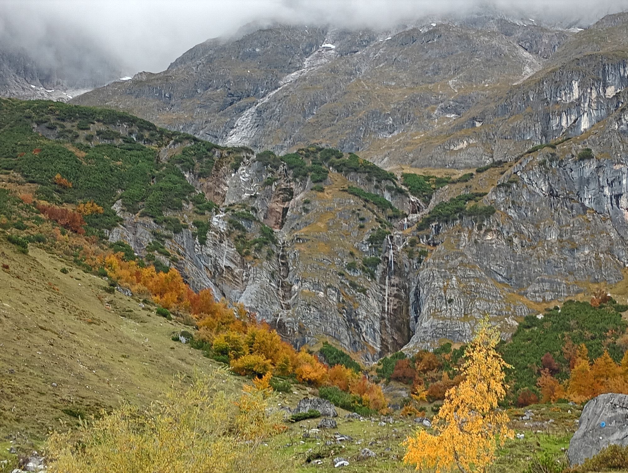

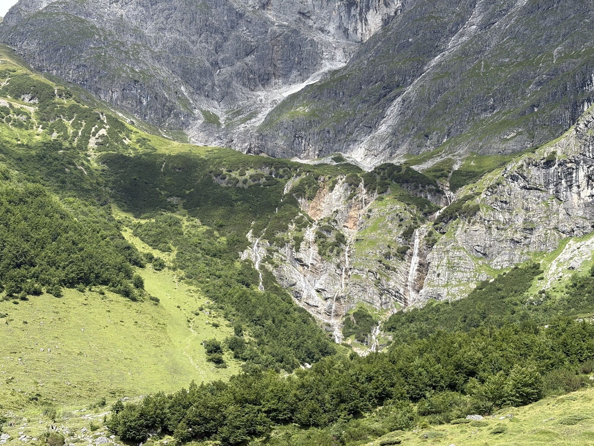

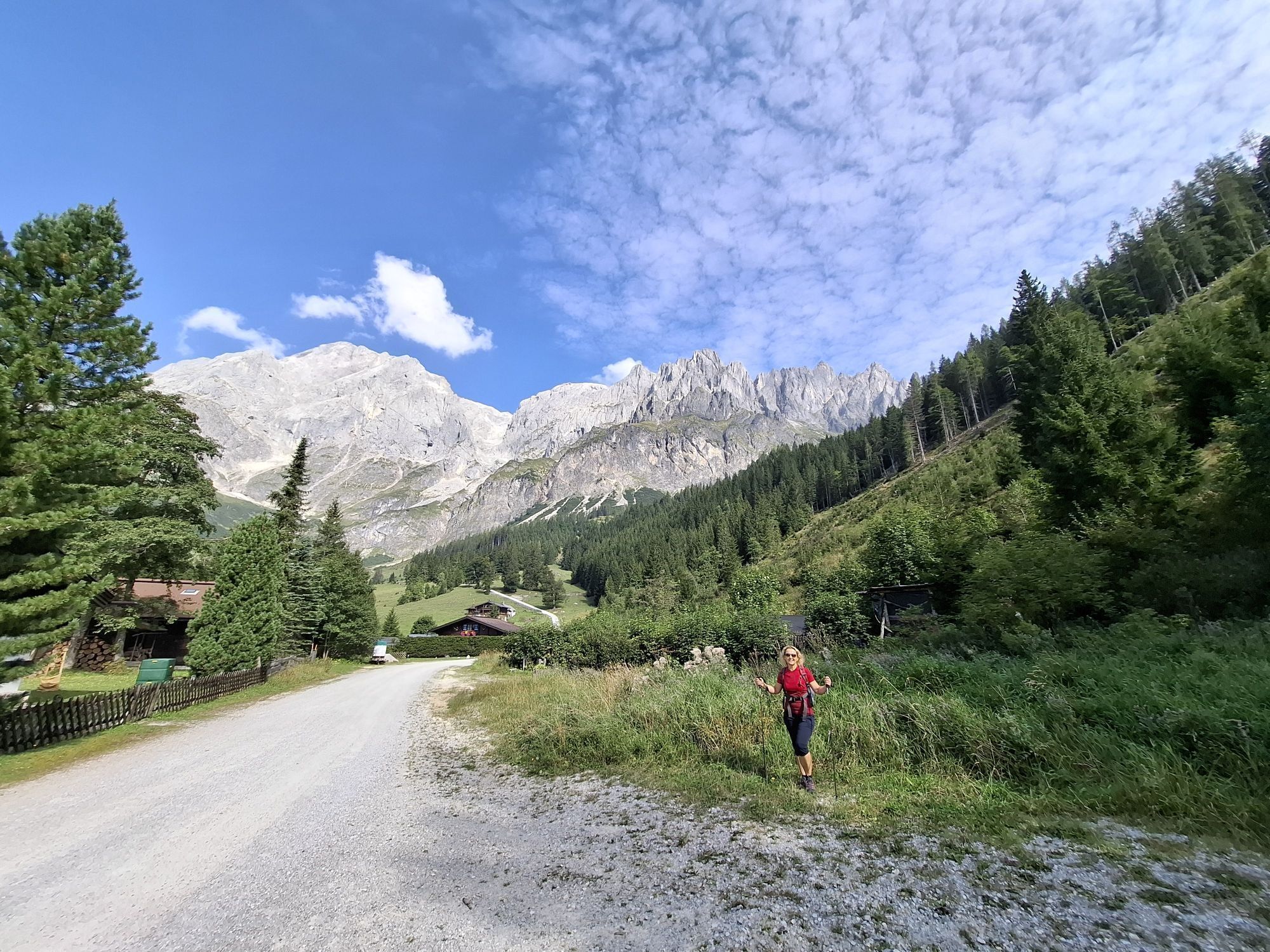
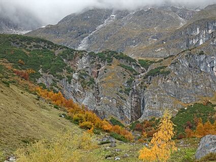
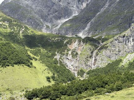
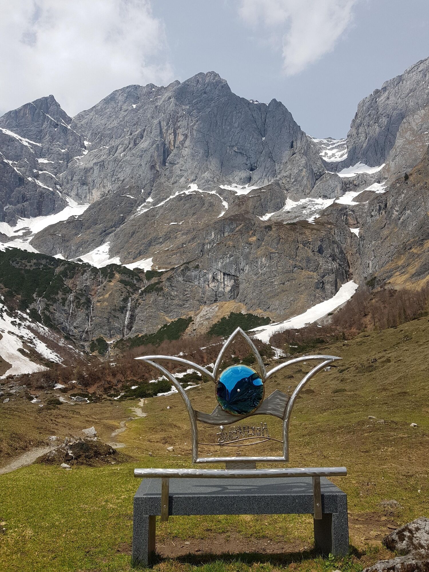
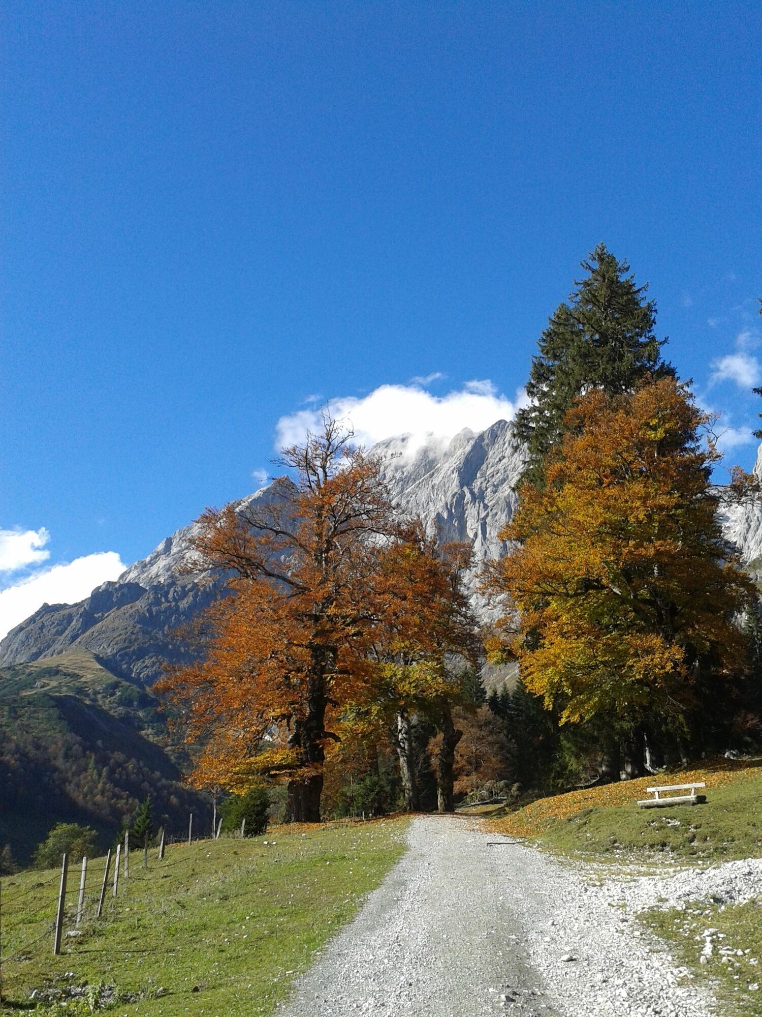
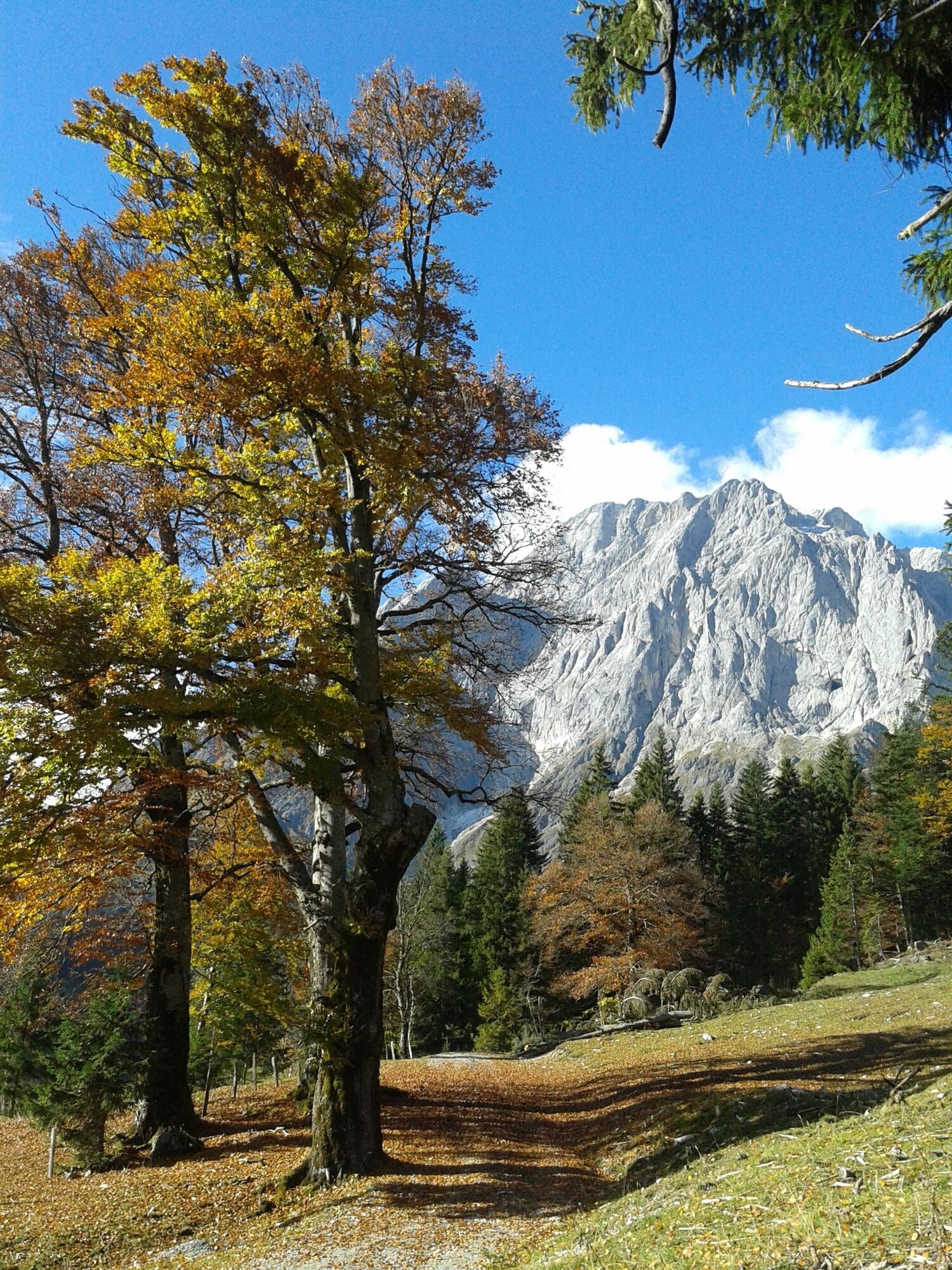
On the hike into the idyllic Riedingtal valley, you can not only enjoy the imposing south face of the Hochkönig and the natural spectacle of the Rieding waterfalls, but also learn more about the former...
On the hike into the idyllic Riedingtal valley, you can not only enjoy the imposing south face of the Hochkönig and the natural spectacle of the Rieding waterfalls, but also learn more about the former ski jumping centre, which attracted national and international ski jumping stars under the leadership of Sepp ‘Bubi’ Bradl.
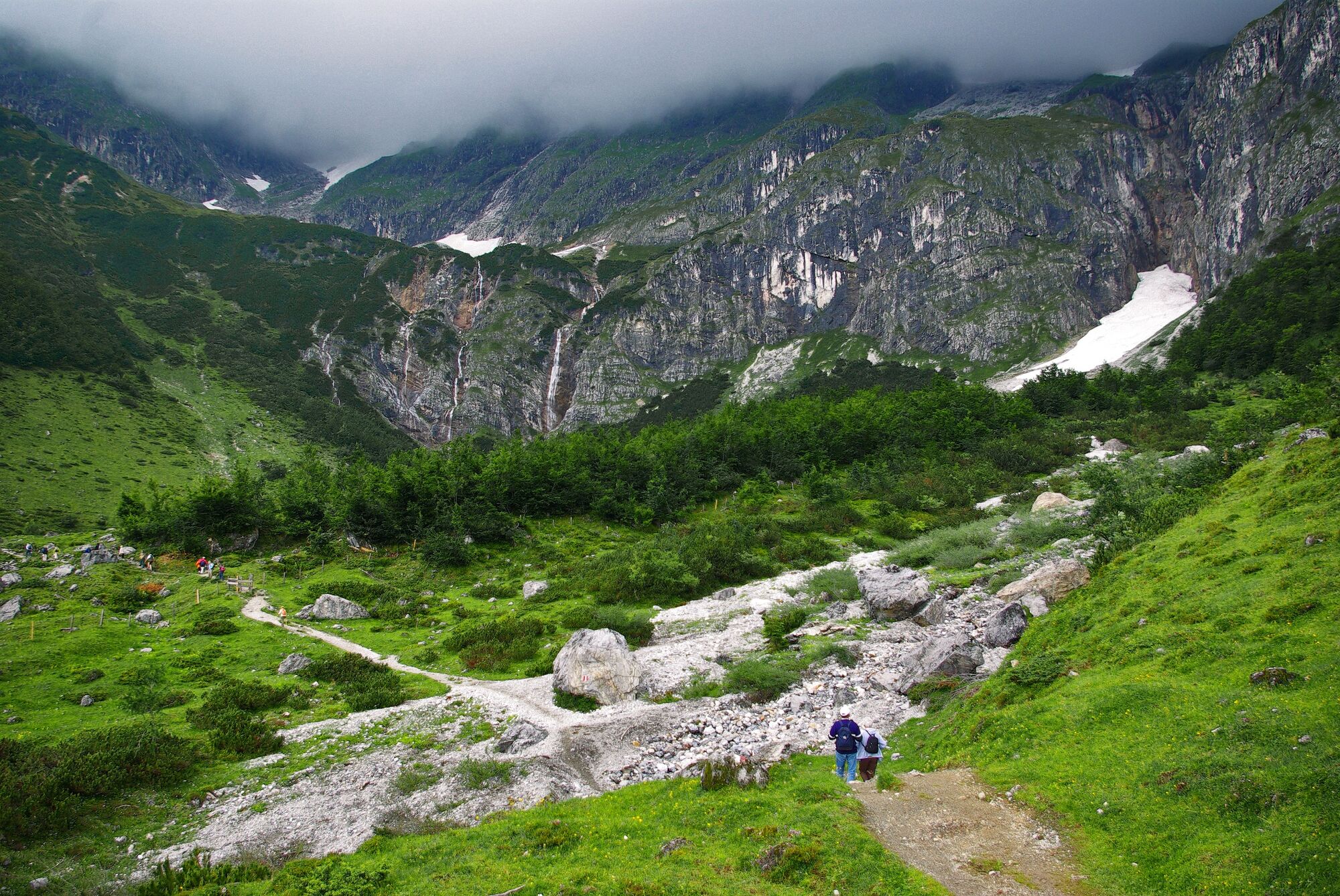
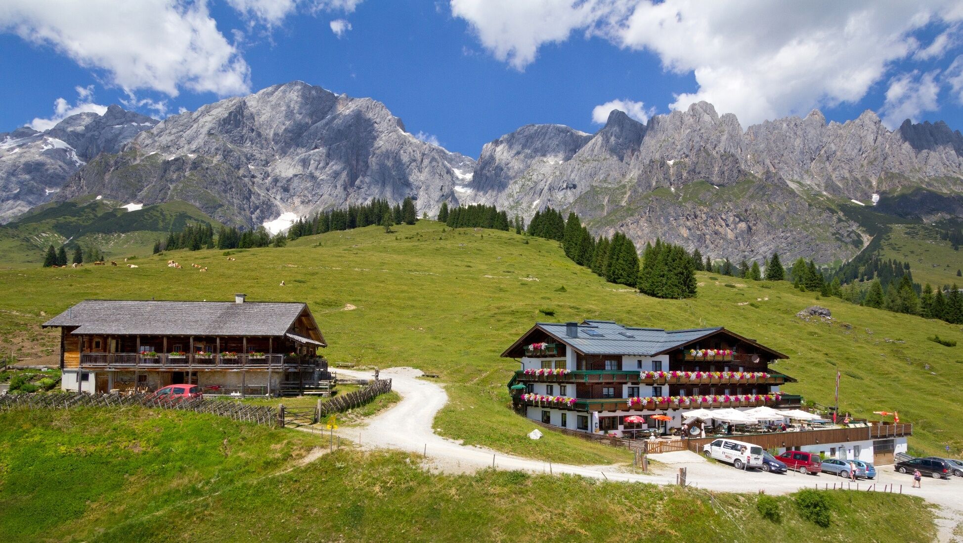
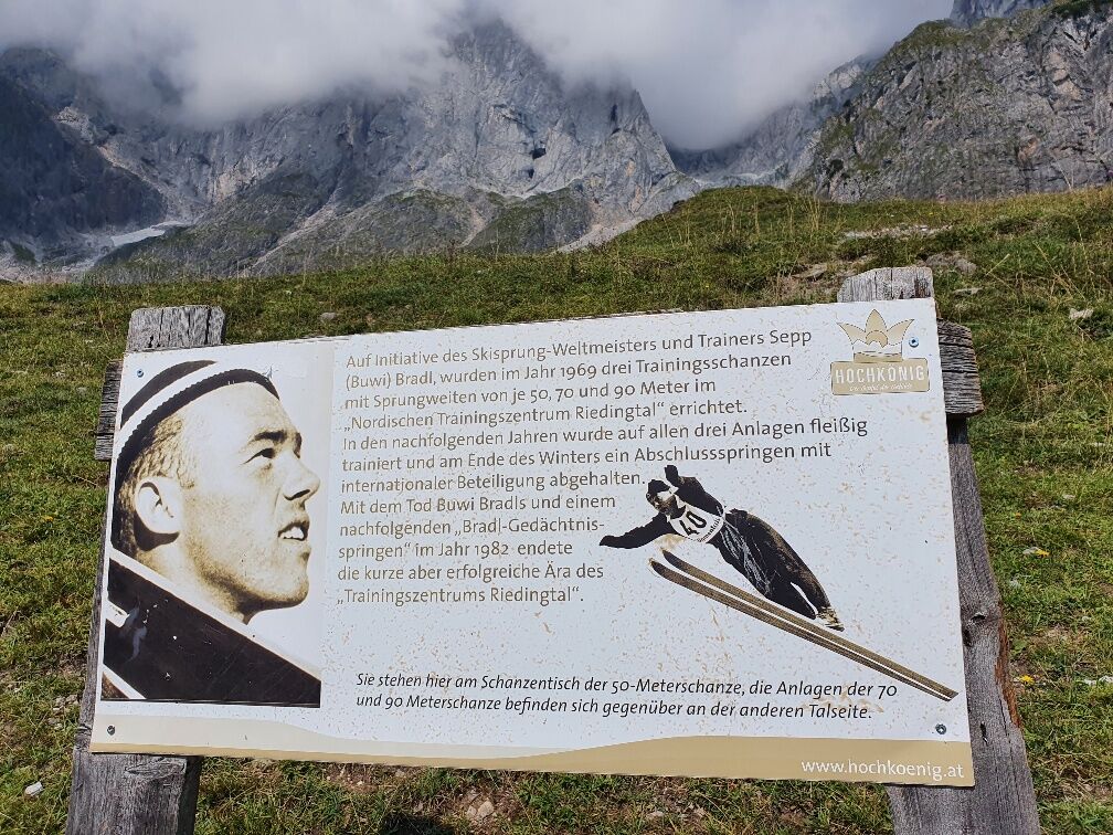
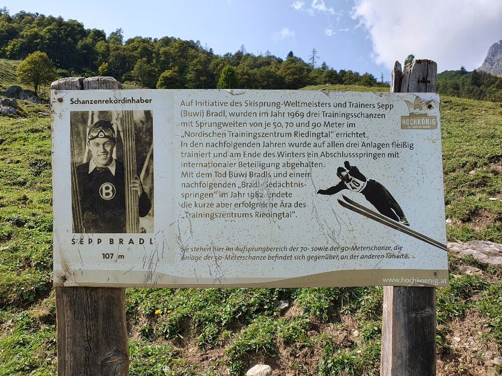
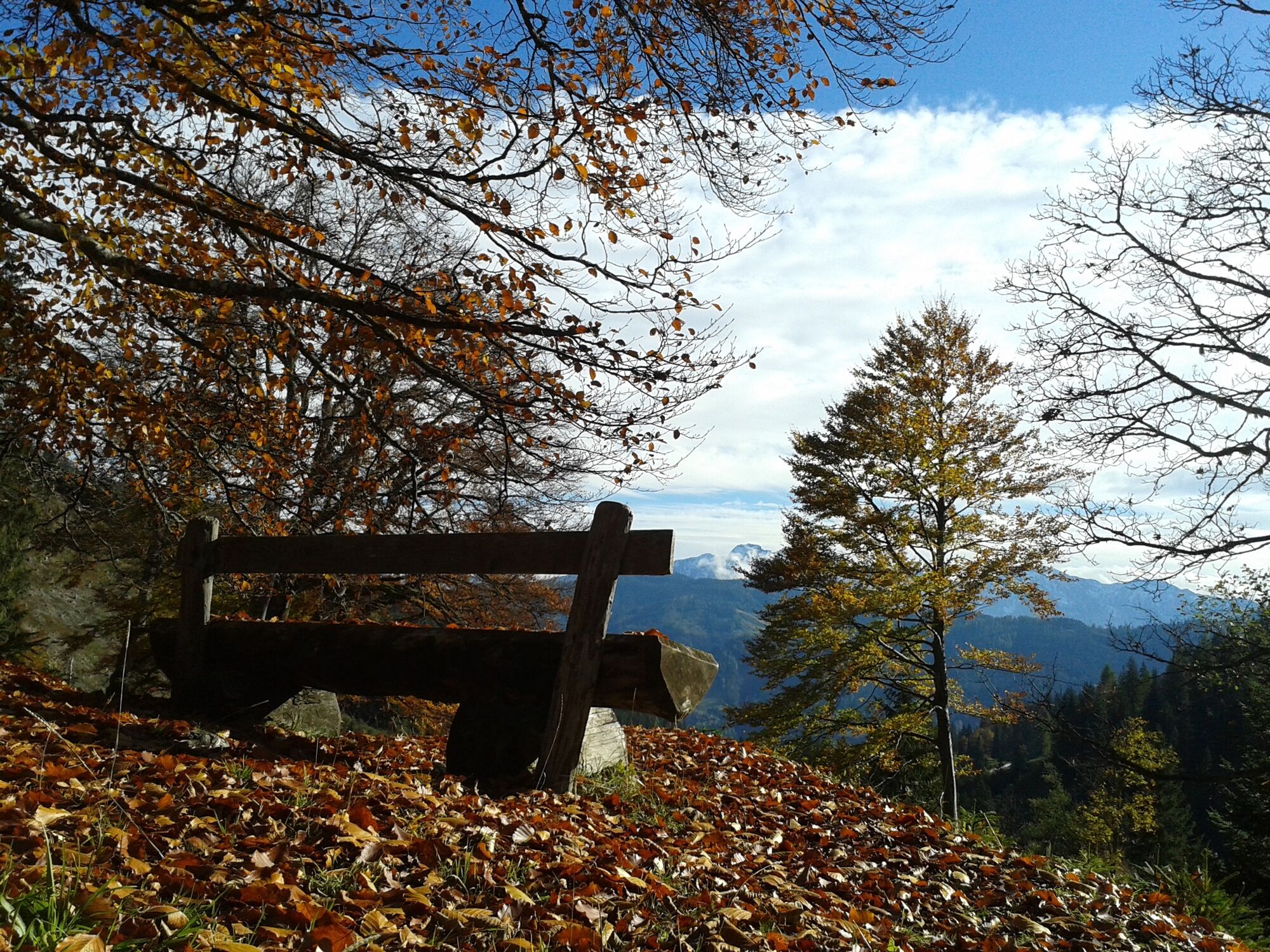


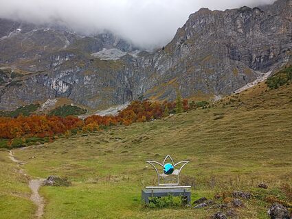
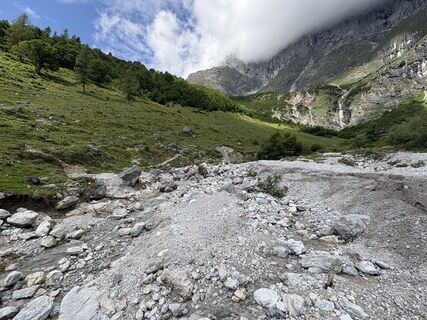
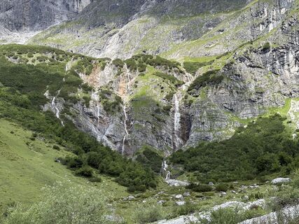
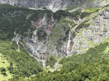
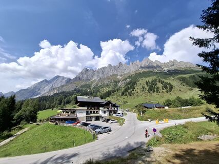
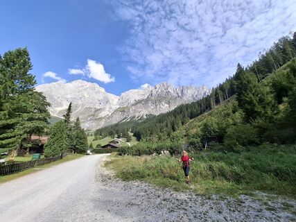
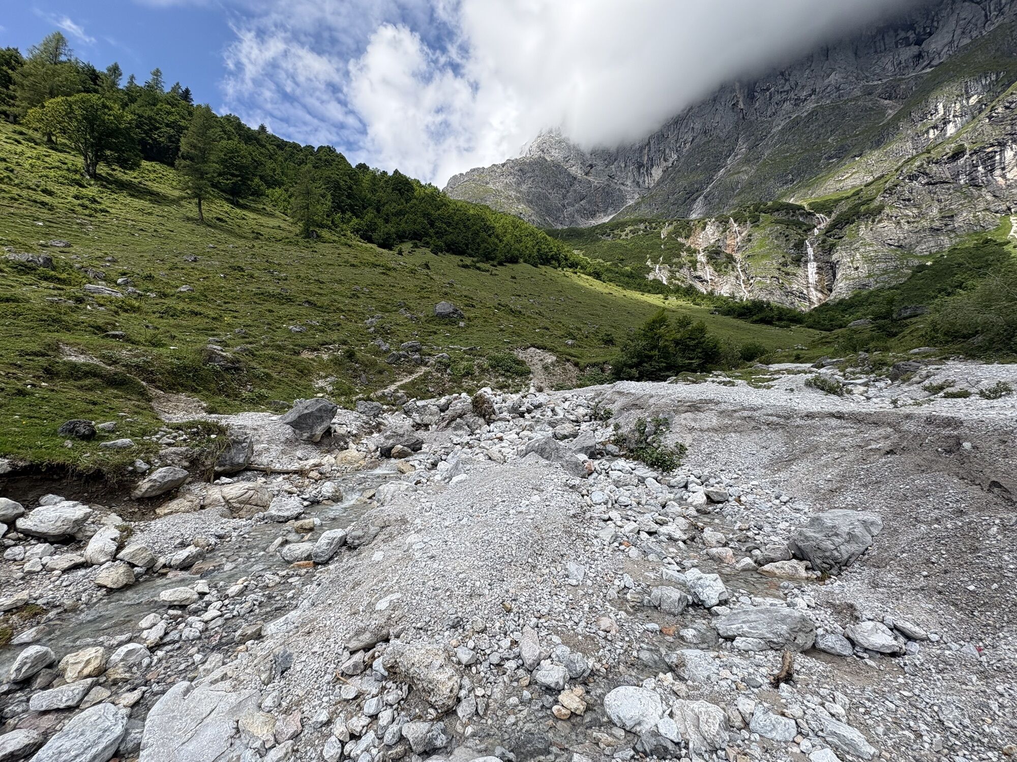
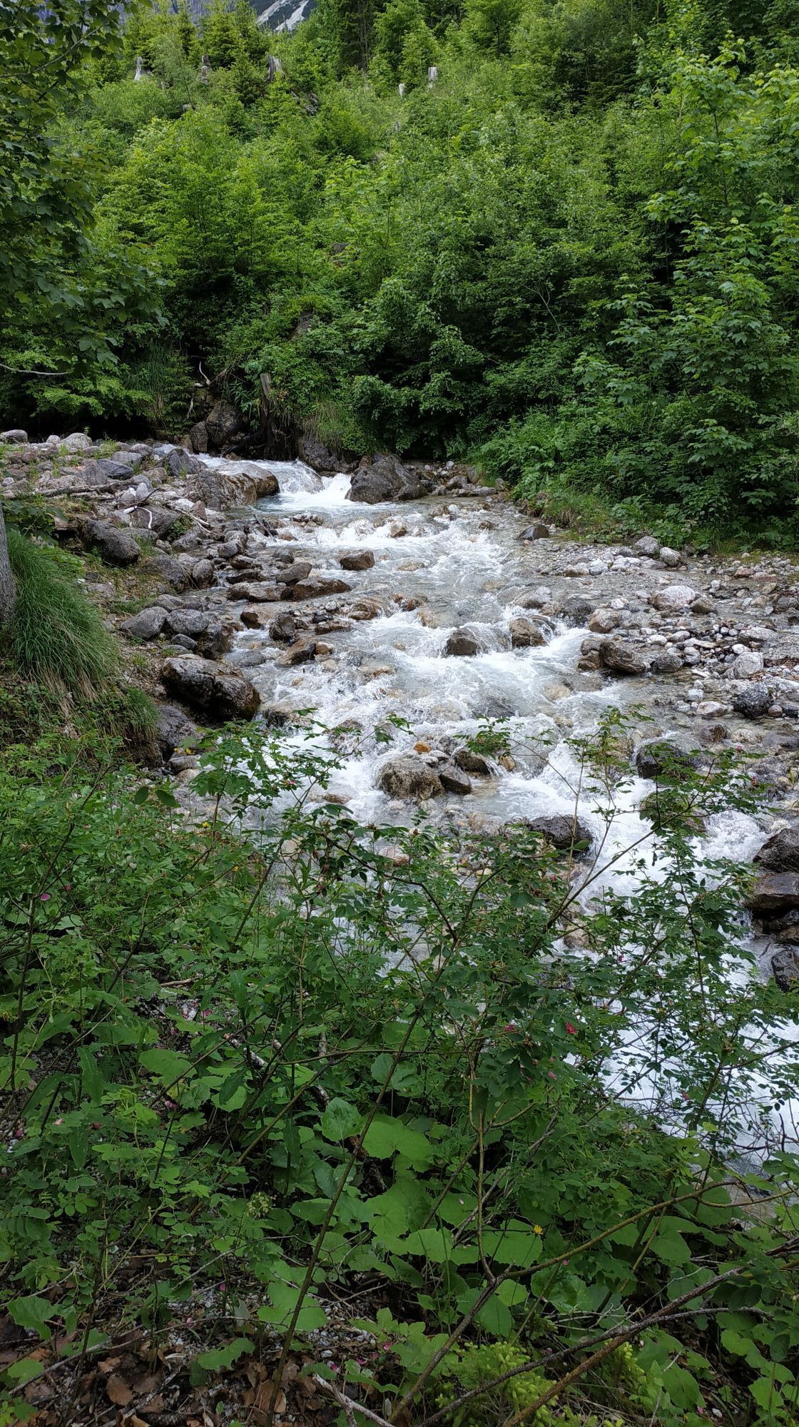
Your hike starts at the Kopphütte bus stop. There is also a free car park here. Follow the road downhill to the former sports hall. Here the path leads over a bridge and then along the edge of the forest. Pass a few houses, the Landhaus Rieding and the Lettenalm and continue slightly uphill to the Riedingalm, the first place to stop for refreshments. After the Riedingalm, continue along a wide cart track in the direction of Riedingtal. Caution: Don't overlook the signpost on the left-hand side of the path, from here a narrower path leads into Riedingtal. Before you get there, enjoy the views of the former ski jumps of the Riedingtal ski jumping centre, which was used by international ski jumping stars for training and competitions in the 1970s under the coaching supervision of Josef ‘Bubi’ Bradl. Once in Riedingtal, you cross the dry course of the Schrammbach stream. If you are looking to cool off, follow the stream uphill to the Rieding waterfalls. The hike takes you along a path to the left, first a short distance across open alpine pastures, later through a sparse forest. Once you reach the edge of the forest, you will see the next refreshment stop, the Kopphütte. Here you can not only enjoy a good meal, but also the wonderful panorama of the surrounding mountains before taking the path downhill back to the starting point of the hike.
Áno
Sturdy, ankle-high footwear
Hiking clothing
Hiking poles
Headgear
Sun protection and sunglasses with UV protection
Rain protection
Drinks and a small snack
Necessary medication
First aid kit
Hiking map
self-assessment: Check your physical fitness before every mountain tour and correctly assess your strength and that of your companions - especially your children! Surefootedness and a head for heights are often very important!
planning and preparation: Plan every intended mountain tour in advance. Hiking maps and guides as well as information from alpine clubs and local experts such as mountain guides and hut keepers can be helpful.
equipment: On the mountain, you need appropriate equipment and clothing, especially sturdy, high footwear with a non-slip sole. Weather and cold protection are essential, as the weather can often change unexpectedly.
weather forecasts: Check the current weather conditions at: www.zamg.at or www.uwz.at.
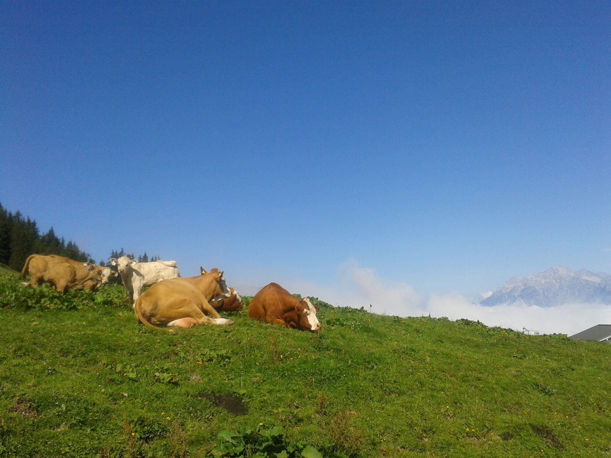
togetherness: Observe the 10 rules for the correct handling of grazing animals and do not leave any waste in nature!
do not kick stones: Do not step on stones, as this can seriously endanger other hikers. Marked places where there is a risk of falling rocks should be crossed as quickly as possible and with attention and caution.
turn back in good time: This is not a disgrace, but a sign of common sense. It becomes necessary when the weather changes, fog sets in, and also when the path is too difficult or not in good condition.
emergency numbers: Alpine emergency number: 140, International emergency number: 112, Rescue: 144
Anreise von Salzburg kommend: Auf der Autobahn A10 bis Ausfahrt Bischofshofen, dann auf der B311 in Richtung Bischofshofen. Der Hochkönig Bundesstraße/B164 nach Mühlbach folgen. Weiter auf der L246 in Richtung Arthurhaus bis Abzweig Kopphütte.
Anreise von Innsbruck/ Kufstein kommend: auf der Loferer Straße/B178 Richtung St. Johann i.T., dann über die Hochkönig Bundesstraße/B164 über Saalfelden und Maria Alm nach Mühlbach. Weiter auf der L246 Richtung Arthurhaus bis Abzwig Kopphütte.
Wanderbus der Region Hochkönig - Wanderbusfahrplan Bahn: Station Bischofshofen - ÖBB Scotty Bus: Linie 591 bis Ortszentrum, weiter mit dem Wanderbus - Fahrplanauskunft
Parkplatz bei der Bushaltestelle Kopphütte kostenlos
Further information on hikes and activities in the Hochkönig region:
For detailed information about hiking maps, the opening hours of the cable cars and the huts and mountain pastures in summer, we recommend you visit the local service centre. There you will not only receive the hiking map, but also valuable tips on the best hiking routes and current conditions.
Opening hours of the mountain lifts in summer: The mountain lifts offer different opening hours during the summer months, which can vary depending on the weather and season. Please check the current operating times in advance.
Opening hours of huts & mountain huts in summer: The huts and mountain huts in the region are ideal rest stops for hikers. Here, too, opening hours may vary depending on the season and day of the week. Ask the friendly hosts for advice about the offers and specialities on site.
For more information, please visit our website: www.hochkoenig.at.
If you have any questions or require specific information, please do not hesitate to contact us:
- E-mail: region@hochkoenig.at
- Telephone: +43 (0)6584 20388
We look forward to helping you and hope you enjoy exploring the beautiful Hochkönig hiking region!
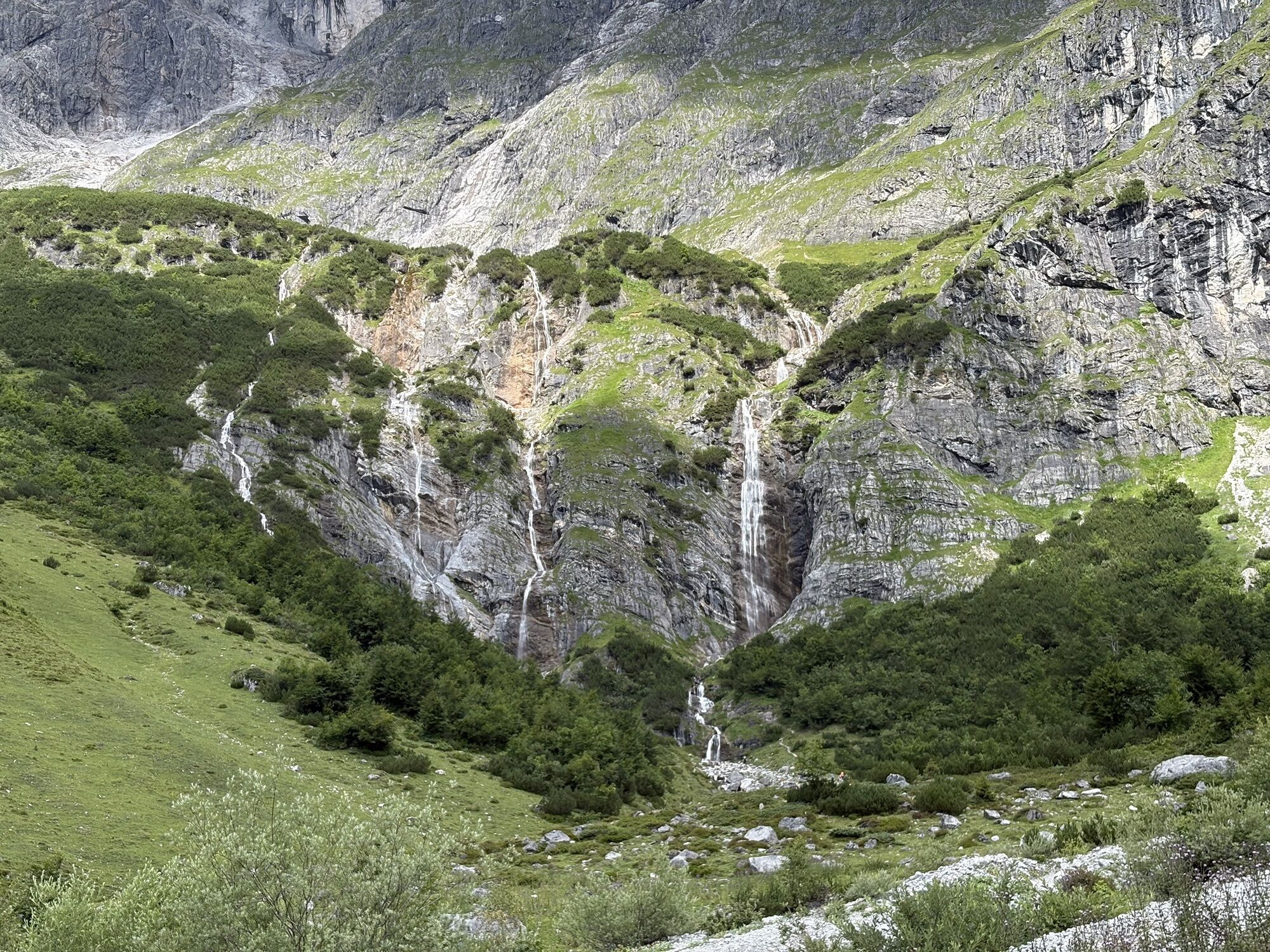
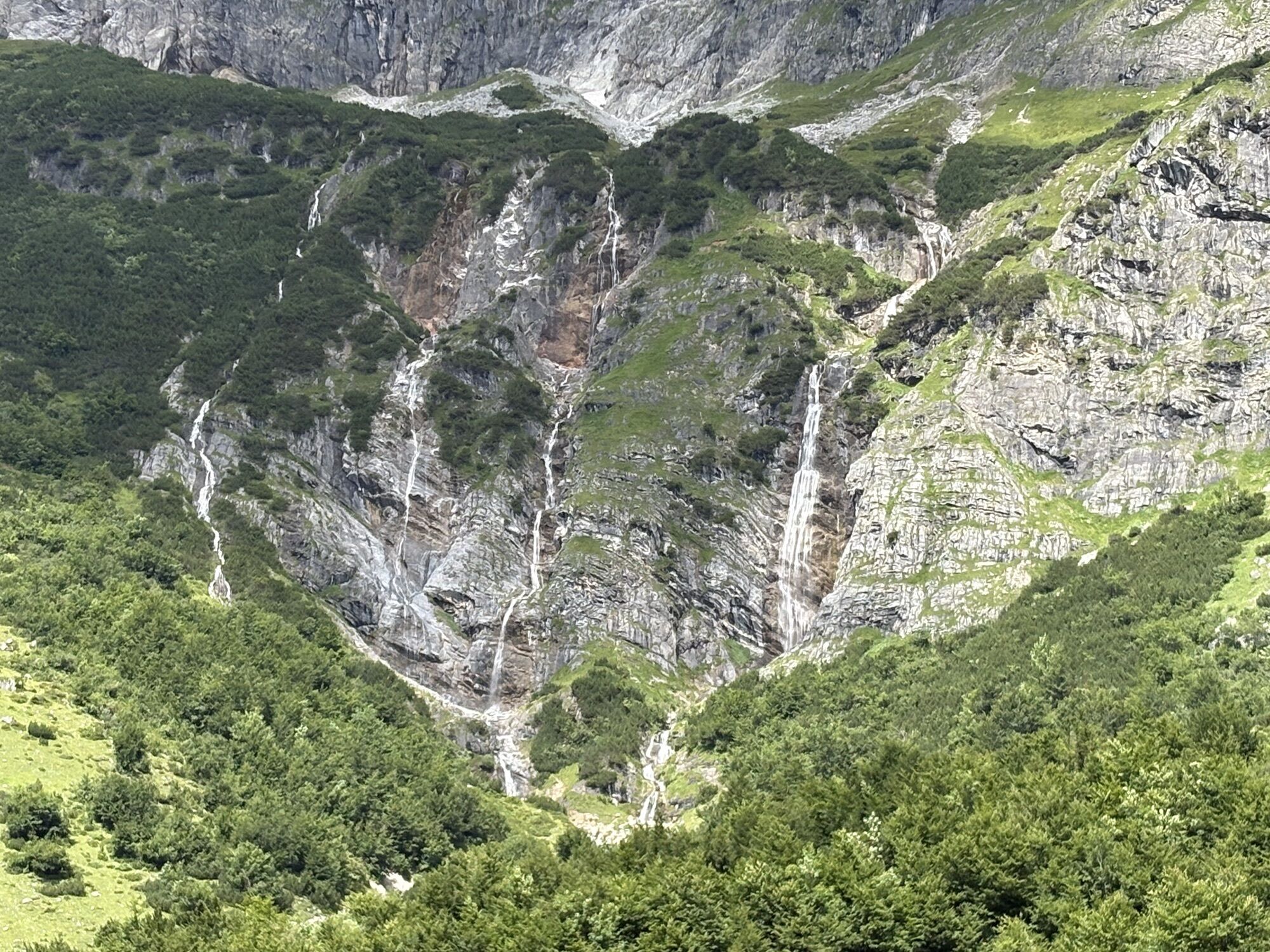
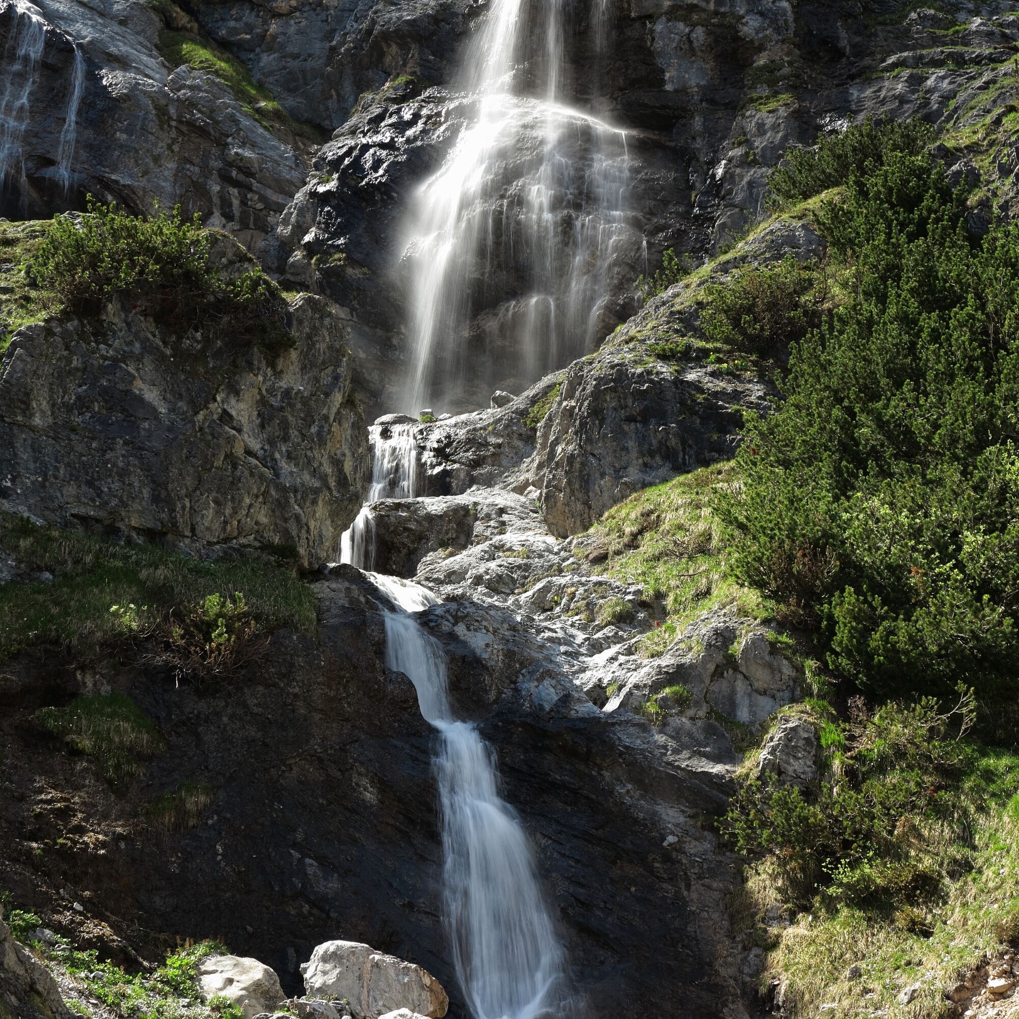
Enjoy the cool water of the Riedinger waterfalls.
Obľúbené výlety v okolí
-
4,8
Summit storming route Taghaube
ťažkéTuristika 6,25 km -
4,9
Hochkönig - Gipfel der Gefühle - Matrashaus
ťažkéTuristika 20,9 km -
3,8
Hochkönig summit route - main ascent
ťažkéTuristika 18,1 km -
4,7
Panorama hike to the Hochkeil
strednáTuristika 6,07 km -
4,8
Summit stormer route Lauskopf
ťažkéTuristika 8,16 km -
3,6
Wanderung zur Ostpreußenhütte in Werfen (1.630 m)
strednáTuristika 11,2 km -
4,7
About the "Four Huts circular route" to Windraucheggalm
strednáTuristika 10,1 km -
3,7
Auf die Ostpreussenhütte
strednáTuristika 16,6 km -
3,9
Mühlbacher Höhenweg
strednáTuristika 11,2 km -
4,2
Wasserfallweg (UNESCO-Geopark Erz der Alpen)
svetloTematická trasa 4 km
Turistika a stopovanie


Nenechajte si ujsť ponuky a inšpiráciu na ďalšiu dovolenku
Vaša e-mailová adresa bol pridaný do poštového zoznamu.