


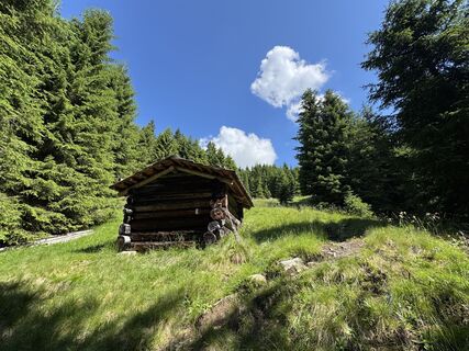
Val Casies Valley Almweg 2000 path: Hörneckele, Pfinnalm, Aschtalm


Fotografie našich používateľov
-

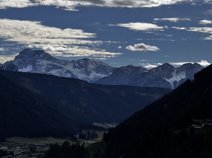
 © David KrcekVytvorené dňa 08.10.2025
 -
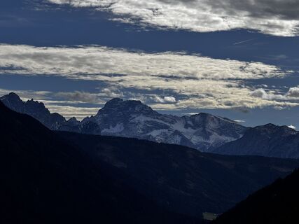
 © David KrcekVytvorené dňa 08.10.2025
 -
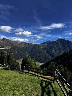
 © David KrcekVytvorené dňa 08.10.2025
 -
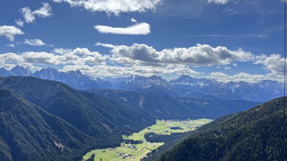
 © David KrcekVytvorené dňa 08.10.2025
 -
 © David KrcekVytvorené dňa 08.10.2025
 -
 © David KrcekVytvorené dňa 08.10.2025
 -
 © David KrcekVytvorené dňa 08.10.2025
 -
 © olafengelmannVytvorené dňa 06.10.2025
 -
 © Gerardo BrunettiVytvorené dňa 02.07.2025
 -
 © Gerardo BrunettiVytvorené dňa 02.07.2025
 -
 © Gerardo BrunettiVytvorené dňa 02.07.2025
 -
 © Gerardo BrunettiVytvorené dňa 02.07.2025
 -
 © Gerardo BrunettiVytvorené dňa 02.07.2025
 -

 © Ale Bruzzese 1Vytvorené dňa 08.03.2025
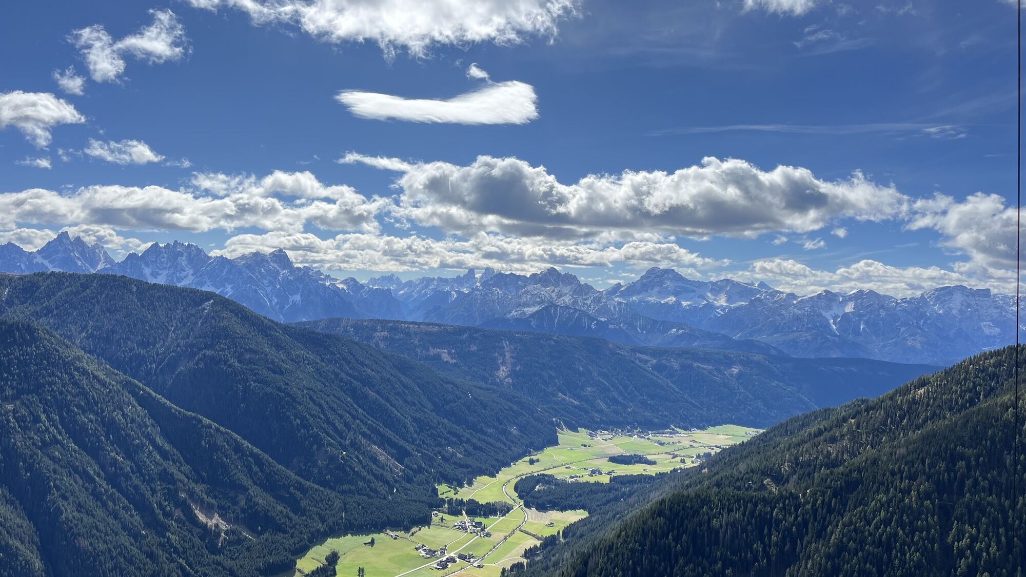
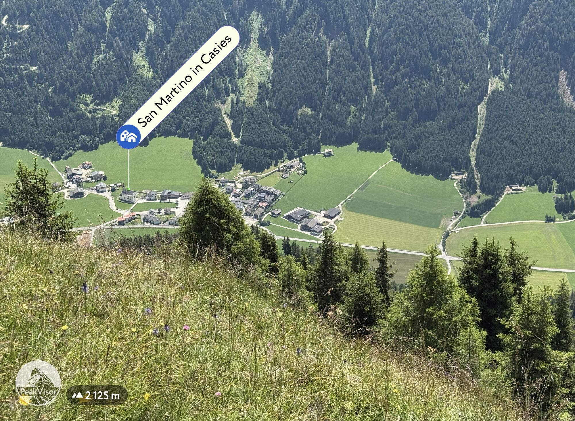

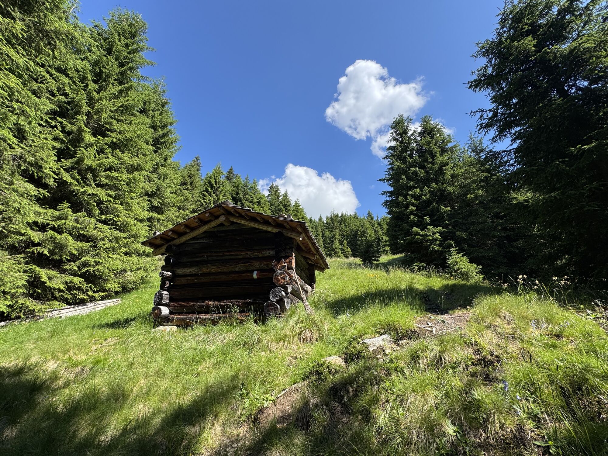

From the village centre in Val Casies/S. Maddalena follow the road all the way up to the Karbacher Hof (1440m). Follow the Karbachtal Valley to the hut Schäfer Alm (1616m) and further on the path no. 52...
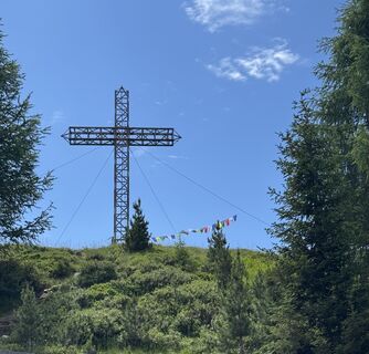
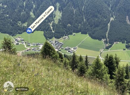
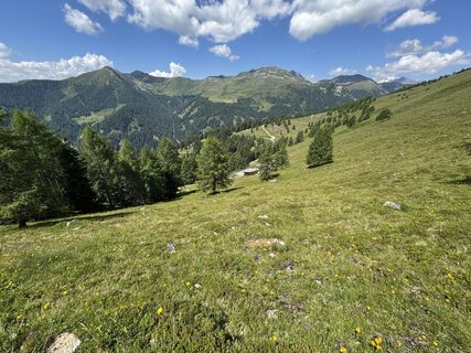
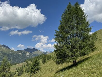
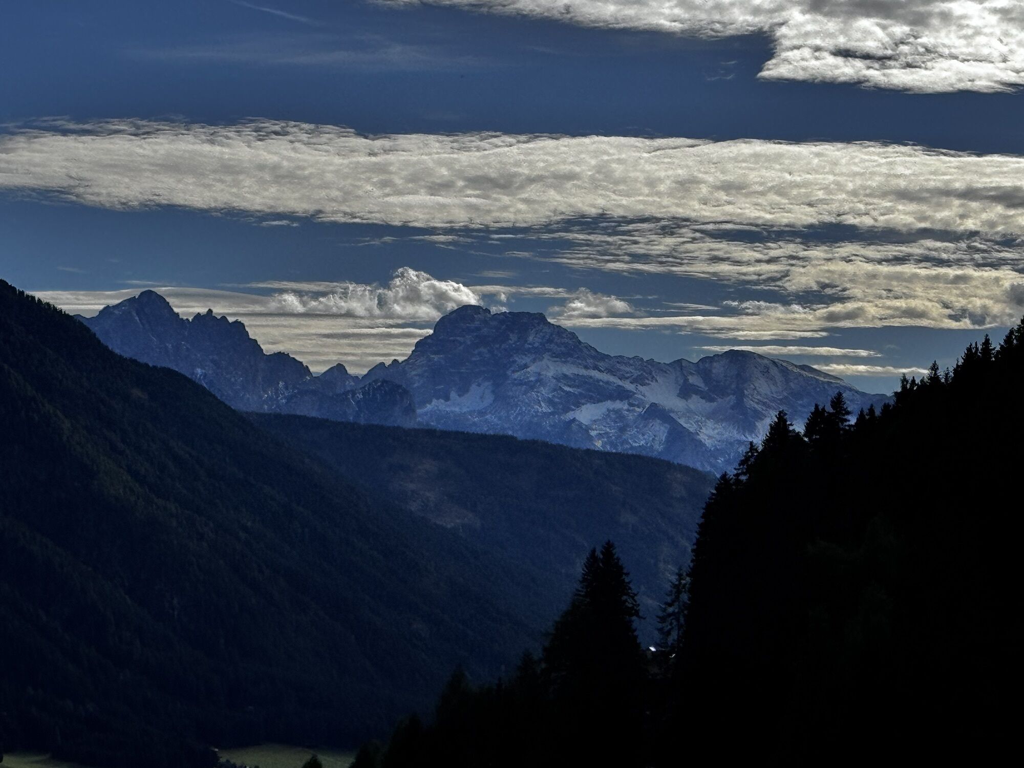
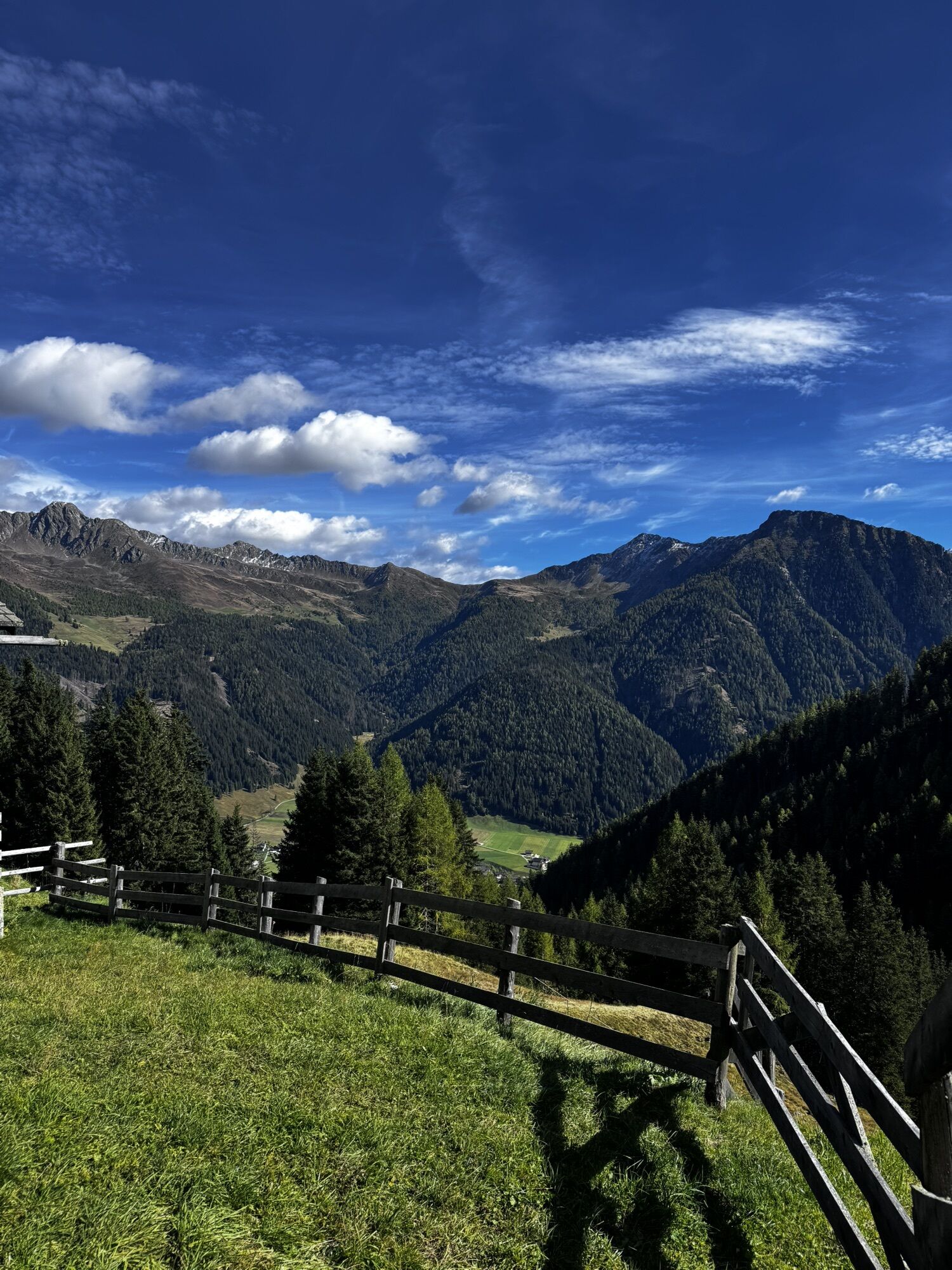
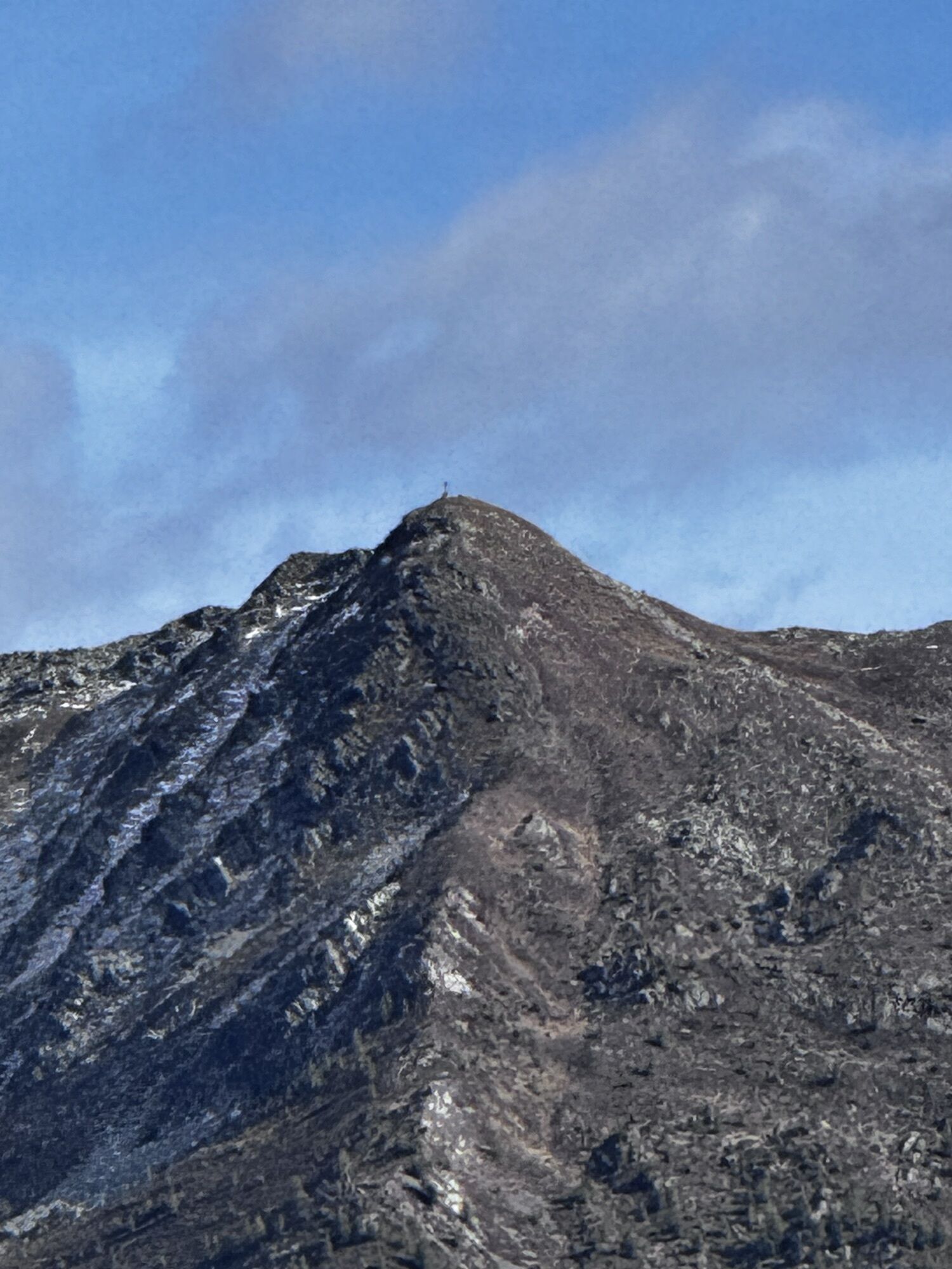
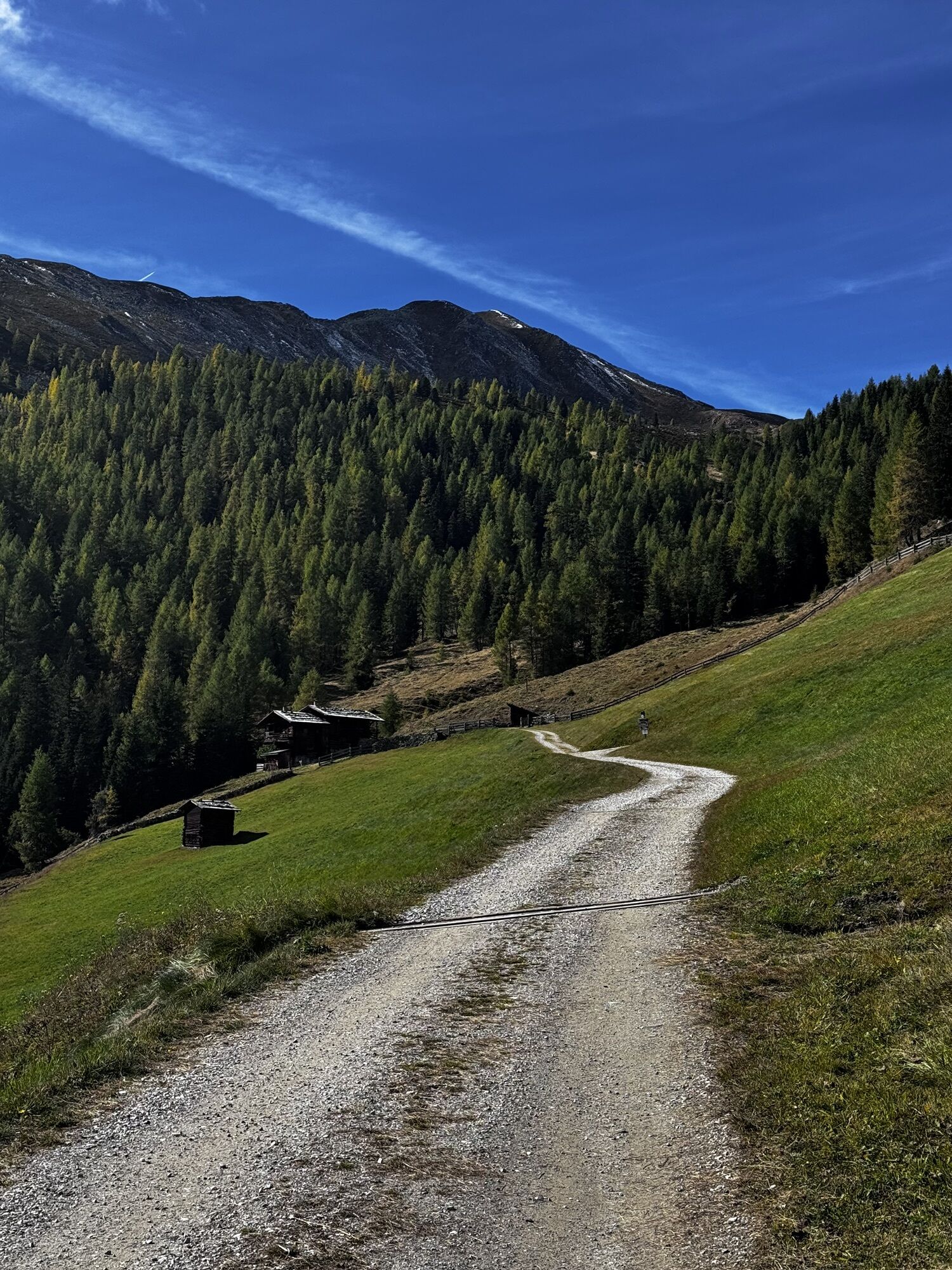
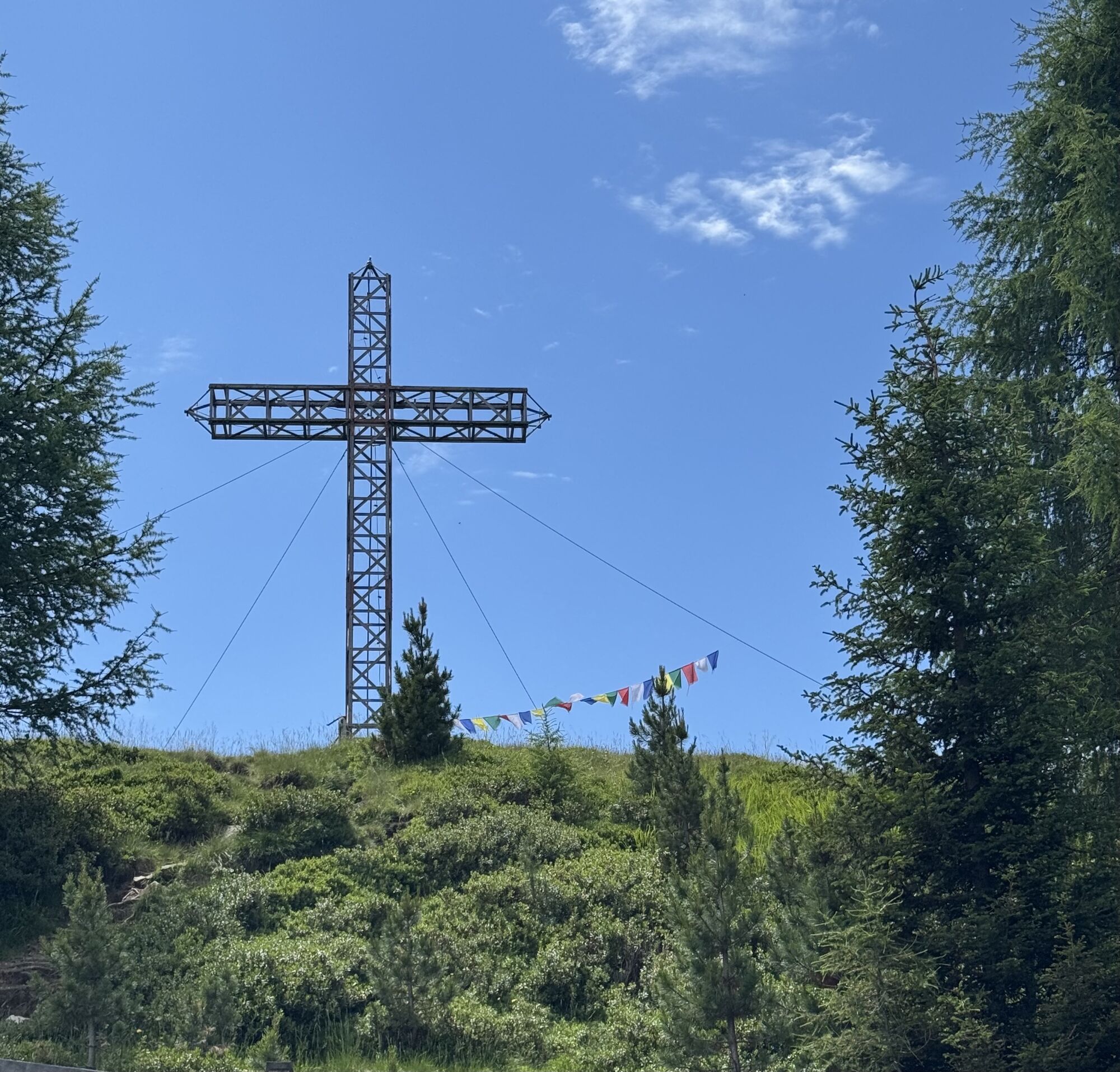
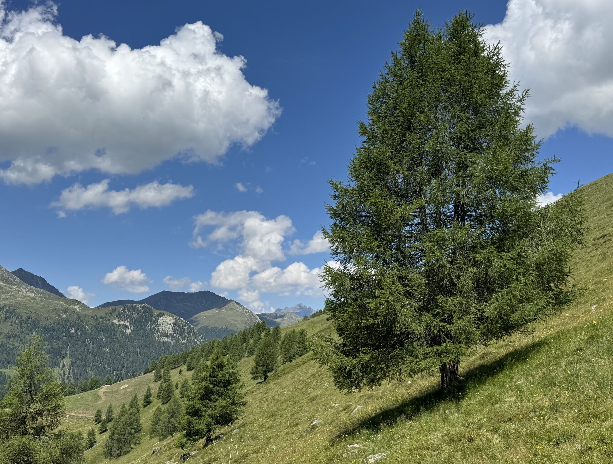
From the village centre in Val Casies/S. Maddalena follow the road all the way up to the Karbacher Hof (1440m). Follow the Karbachtal Valley to the hut Schäfer Alm (1616m) and further on the path no. 52 till the cross of the Hörneckele (2127m). From the Hörneckele, traverse the alpine slopes by following the red markings. At the fork of the Val Casies Valley Almweg 2000 path, cross the slopes towards the valley, partly evenly and partly gently descending all the way to the malga Pfinnalm (2152m), then to the malga Aschtalm (1950m). Finally descend on trail no. 10 down to the hamlet Huben and along to the S. Maddalena village centre. By public bus back to S. Martino.


Obľúbené výlety v okolí
-
4,6
Mountain hike to Mountain „Lutterkopf and Durakopf (2145/2275m)“
strednáHorská turistika 11,8 km -
5,0
Antholzer See - Steinzger Alm
strednáTuristika 7,48 km -
4,7
Von Kalkstein auf das Toblacher Pfannhorn (2.663 m) und Marchkinkele
strednáTuristika 14,2 km -
4,2
Seespitze
strednáTuristika 13,7 km -
4,8
Seerunde
svetloTuristika 2,66 km -
4,0
Innervillgraten - Kalkstein - Alfenalm - Schönegg
strednáTuristika 12,6 km -
4,5
Thurntaler Rundweg - Parggenspitze - Hochrast
strednáTuristika 18,0 km -
5,0
Rote Wand
strednáVysoké turné 12,0 km -
4,9
Erlsbach Almenrunde zum Klammljoch
strednáMountainbike 35,3 km -
4,8
Zur Jagdhausalm - Defreggental
strednáMountainbike 26,2 km
Turistika a stopovanie


Nenechajte si ujsť ponuky a inšpiráciu na ďalšiu dovolenku
Vaša e-mailová adresa bol pridaný do poštového zoznamu.