


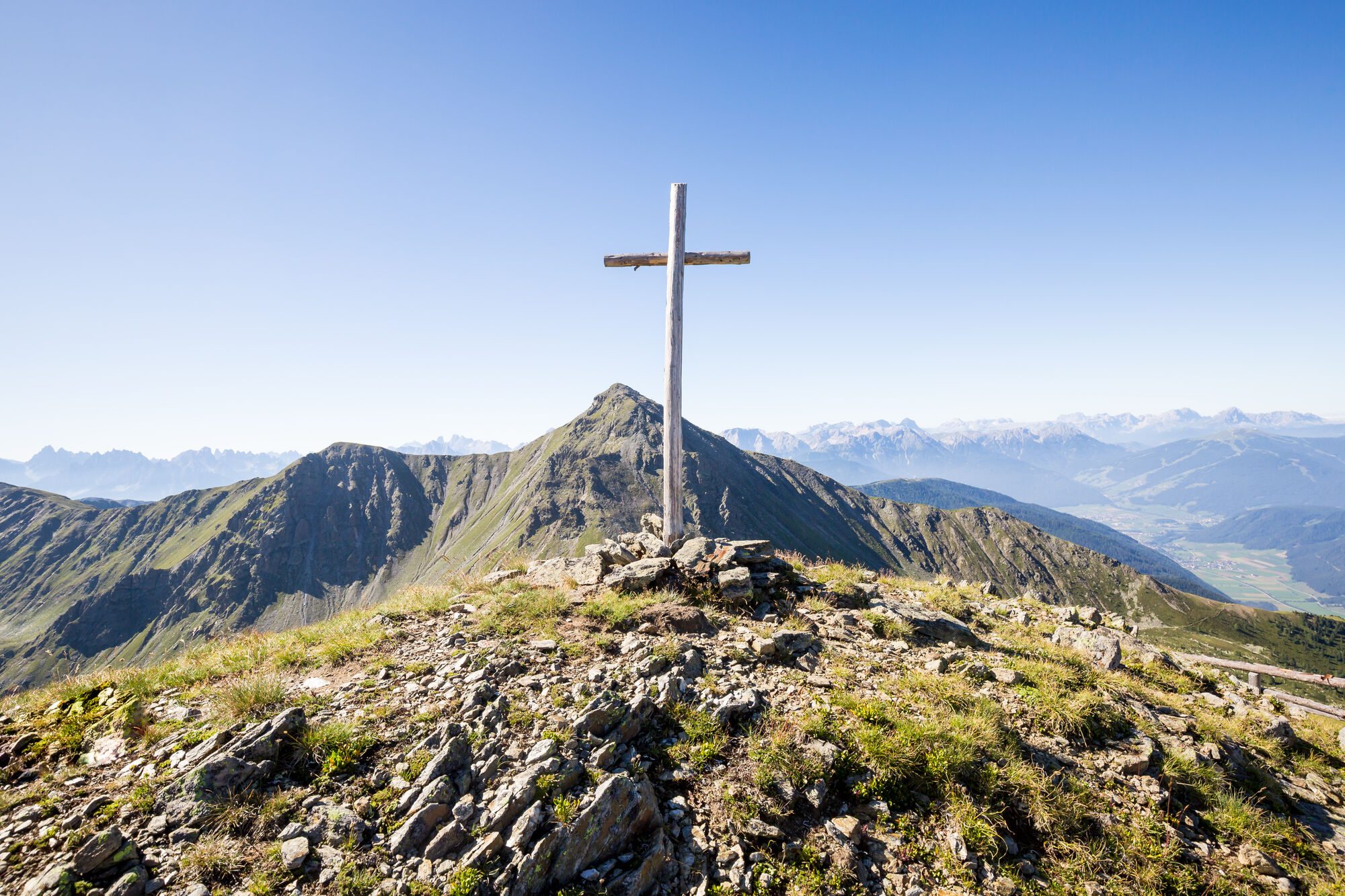
Mountain hike Lakes “Ochsenfelder Seen (2555m)”


Fotografie našich používateľov
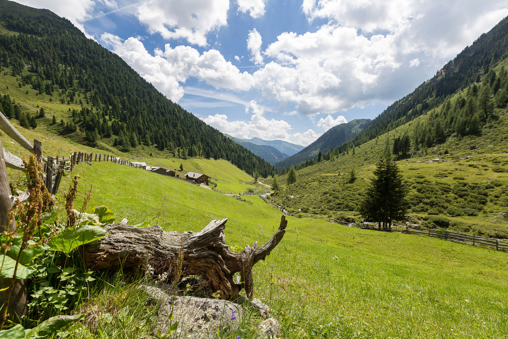
Follow the western path no. 36 from the valley road in San Martino/Val Casies Valley all the way up to the Karbacher Hof (1440m, refreshment stop). Car park "Am Kofel" along the road below the Karbacherhof....
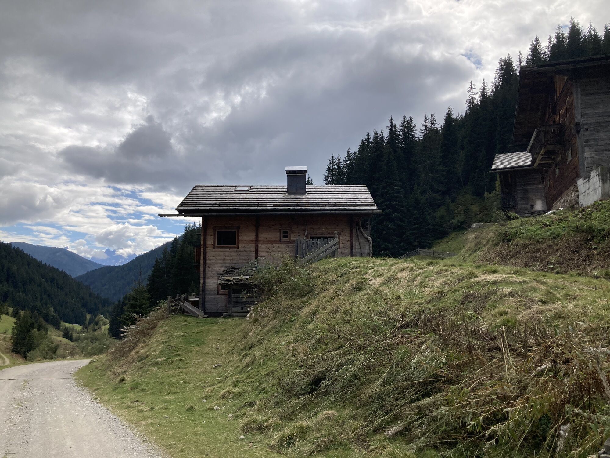
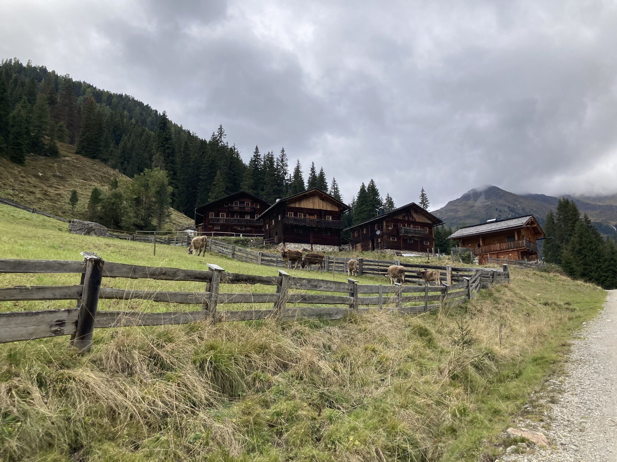
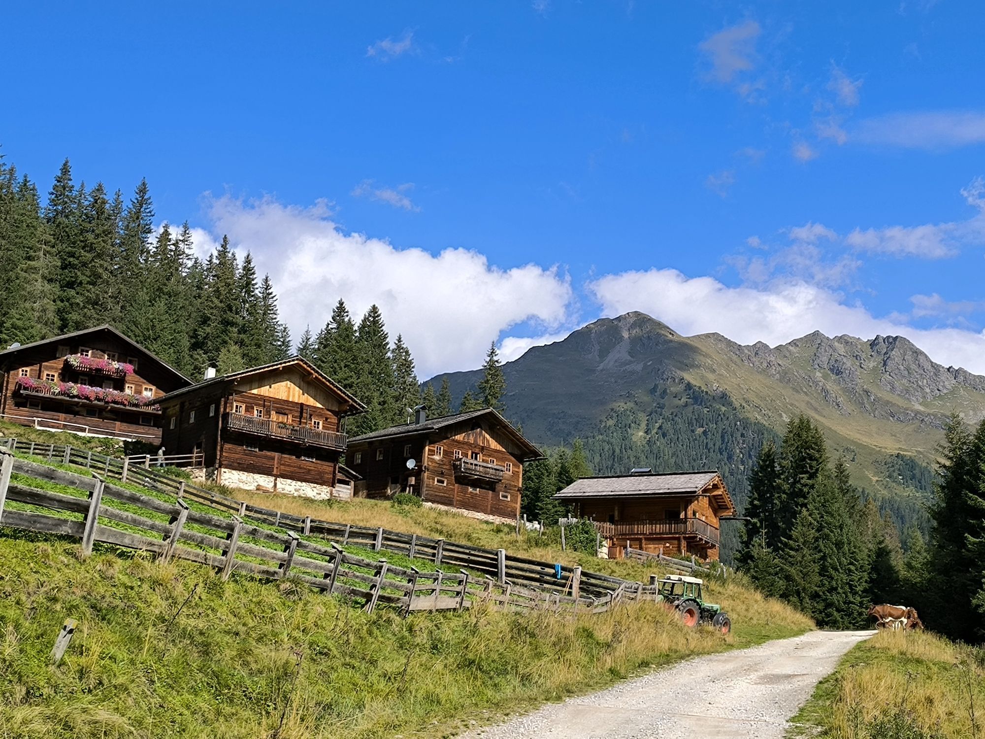
Follow the western path no. 36 from the valley road in San Martino/Val Casies Valley all the way up to the Karbacher Hof (1440m, refreshment stop). Car park "Am Kofel" along the road below the Karbacherhof. On the agricultural road, follow the markings no. 42 into the upper Karbach Valley all the way to the Ochsenfeldalm (2014m). From there, continue on trail no. 42 in a north-westward direction, traversing the alpine slopes upwards to the “Grübelscharte” (2394m); once there, take a sharp right and partly evenly, partly ascending cross the extensive alpine pastures, following the markings no. 9 and the tracks in an east-northward direction to the lakes “Ochsenfelder Seen” (2555m). Return: Either use the ascent route to return again, or, to shortcut the upper part of the hike for at least half an hour, do not return from the lakes to the Grüblscharte (notch), instead, walk straight down the grassy slopes, partly on herd tracks, to the Ochsenfeldalm. From there, take path no. 42, passing the hut Schäfer Alm (1616m, refreshment possibility), to reach the starting point.
Obľúbené výlety v okolí
-
4,6
Mountain hike to Mountain „Lutterkopf and Durakopf (2145/2275m)“
strednáHorská turistika 11,8 km -
5,0
Antholzer See - Steinzger Alm
strednáTuristika 7,48 km -
4,9
Oberhausalm - Jagdhaushütte
svetloTuristika 14,0 km -
4,7
Von Kalkstein auf das Toblacher Pfannhorn (2.663 m) und Marchkinkele
strednáTuristika 14,2 km -
5,0
Jagdhausalm und Pfauenauge
svetloTuristika 14 km -
4,2
Seespitze
strednáTuristika 13,7 km -
4,0
Innervillgraten - Kalkstein - Alfenalm - Schönegg
strednáTuristika 12,6 km -
5,0
Rote Wand
strednáVysoké turné 12,0 km -
4,9
Erlsbach Almenrunde zum Klammljoch
strednáMountainbike 35,3 km -
4,8
Zur Jagdhausalm - Defreggental
strednáMountainbike 26,2 km
Turistika a stopovanie


Nenechajte si ujsť ponuky a inšpiráciu na ďalšiu dovolenku
Vaša e-mailová adresa bol pridaný do poštového zoznamu.