


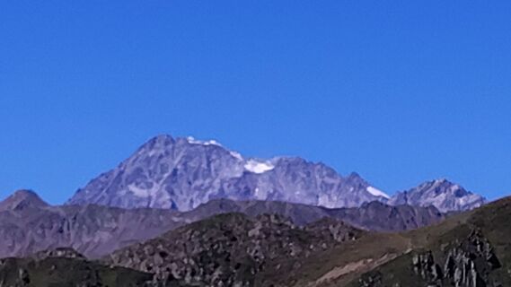
Mountain hike Mountain "Riepenspitze (2774m)”


Fotografie našich používateľov
-

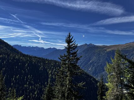
 © David KrcekVytvorené dňa 10.10.2025
 -
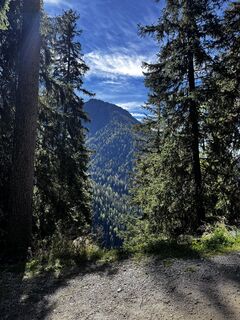
 © David KrcekVytvorené dňa 10.10.2025
 -
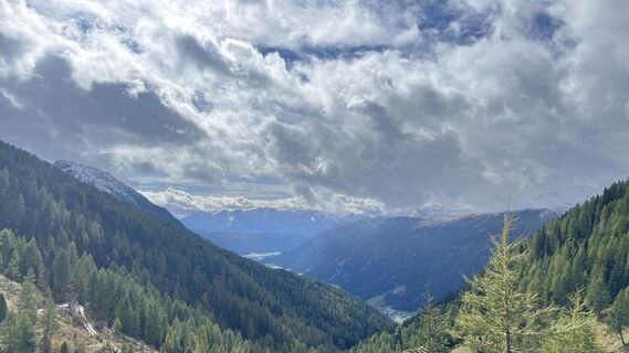
 © David KrcekVytvorené dňa 10.10.2025
 -
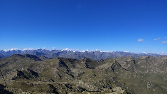
 © David KrcekVytvorené dňa 10.10.2025
 -
 © David KrcekVytvorené dňa 10.10.2025
 -
 © David KrcekVytvorené dňa 10.10.2025
 -
 © David KrcekVytvorené dňa 10.10.2025
 -
 © David KrcekVytvorené dňa 10.10.2025
 -
 © David KrcekVytvorené dňa 10.10.2025
 -
 © David KrcekVytvorené dňa 10.10.2025
 -
 © David KrcekVytvorené dňa 10.10.2025
 -
 © olafengelmannVytvorené dňa 05.10.2025
 -
 © Corrado BuzzolanVytvorené dňa 18.08.2025
 -
 © Corrado BuzzolanVytvorené dňa 18.08.2025
 -
 © Steffen GebhardtVytvorené dňa 22.07.2025
 -
 © Steffen GebhardtVytvorené dňa 22.07.2025
 -
 © Steffen GebhardtVytvorené dňa 22.07.2025


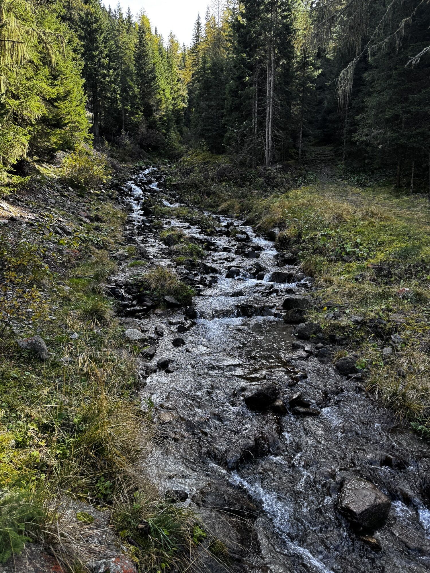


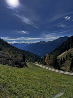
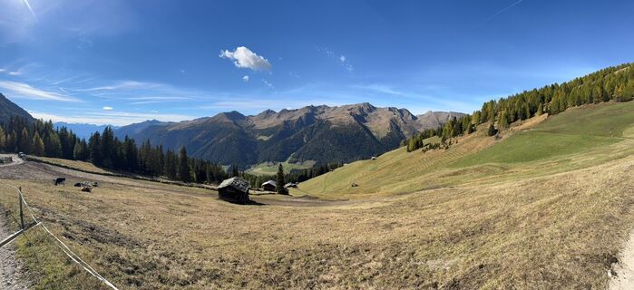
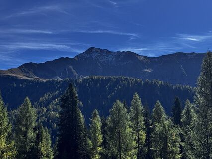
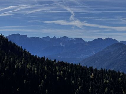
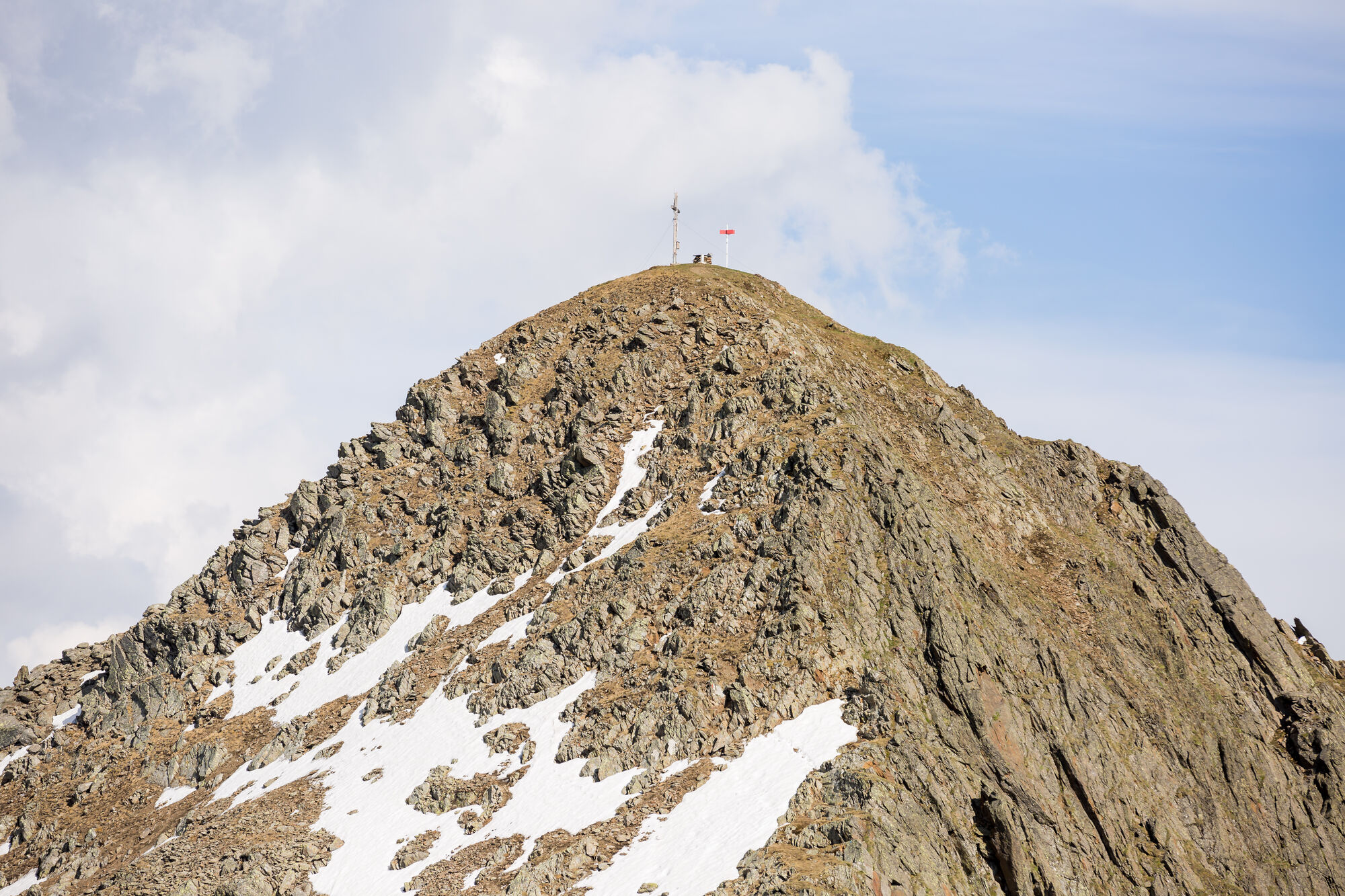
Starting from the valley head in San Maddalena/Val Casies Valley (1460m, refreshment point, parking), turn right over the stream of the valley and follow the markings no. 12 up to the Pfoital Valley and...
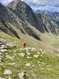
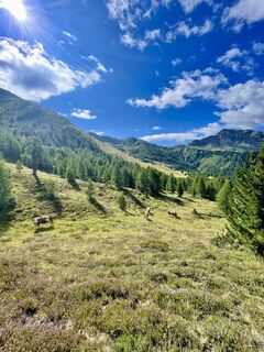
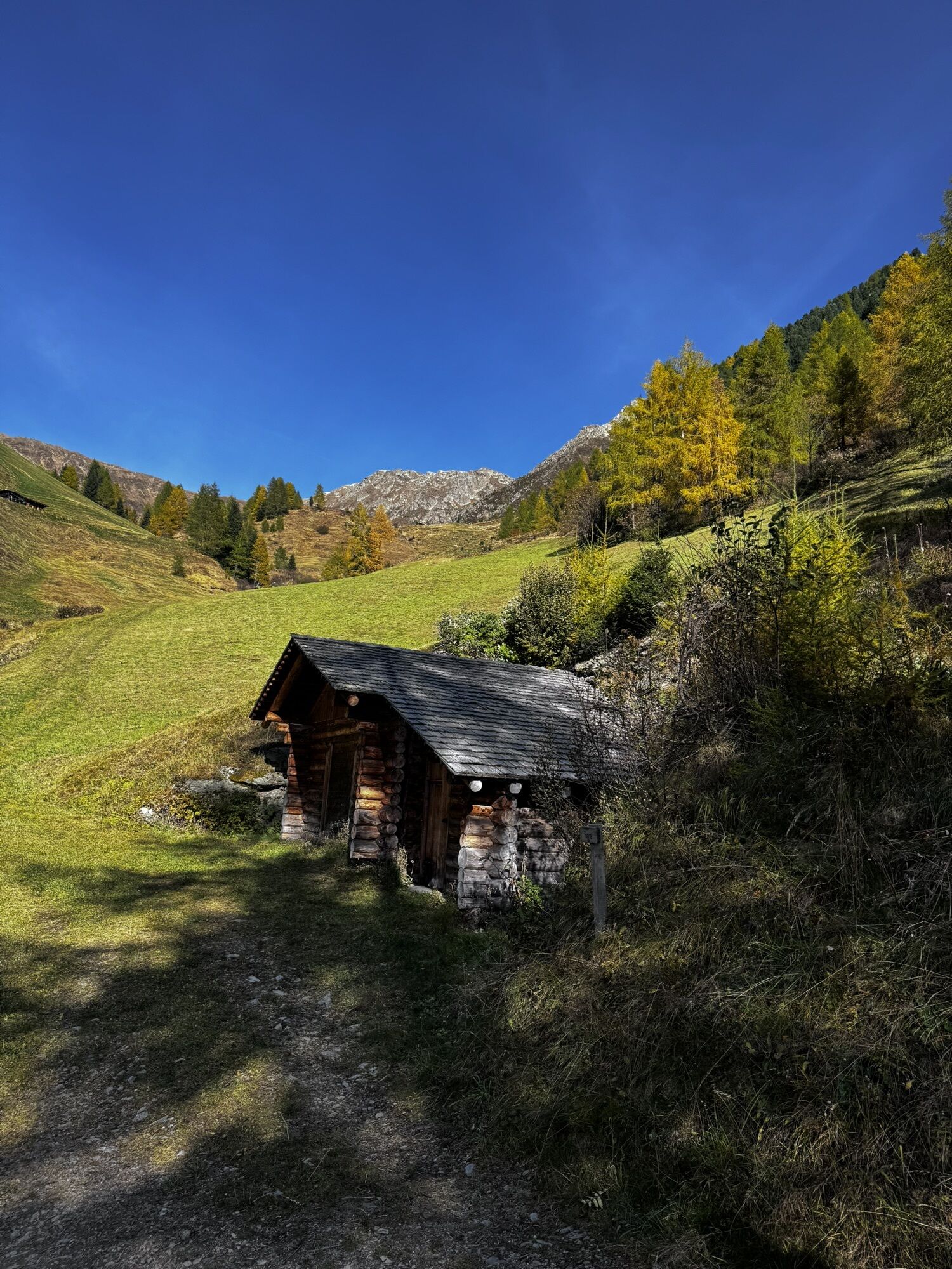
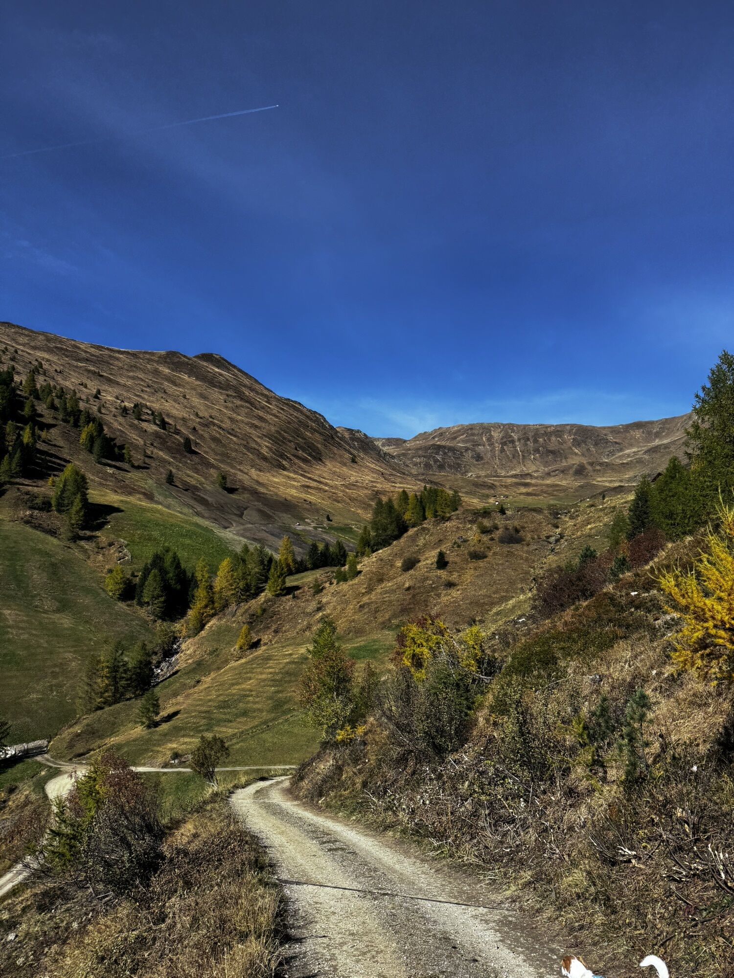
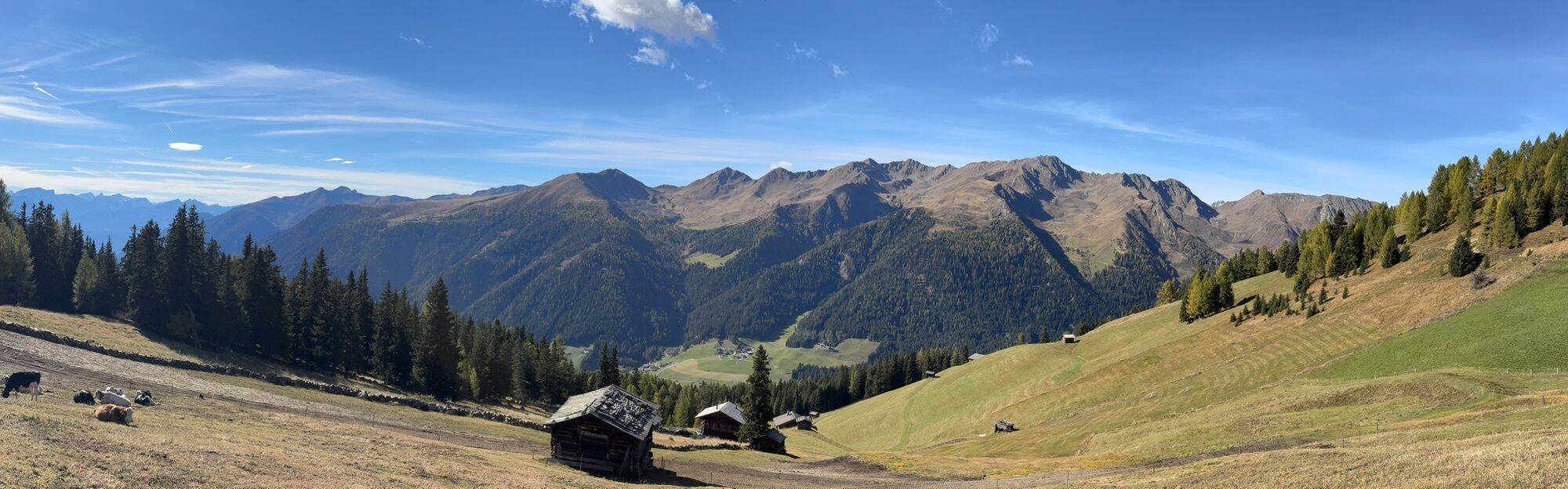
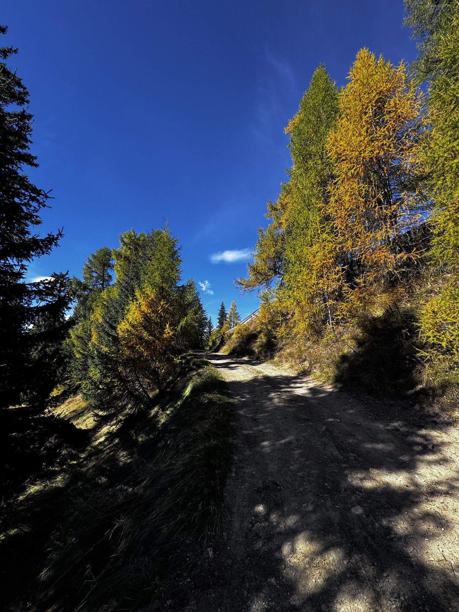
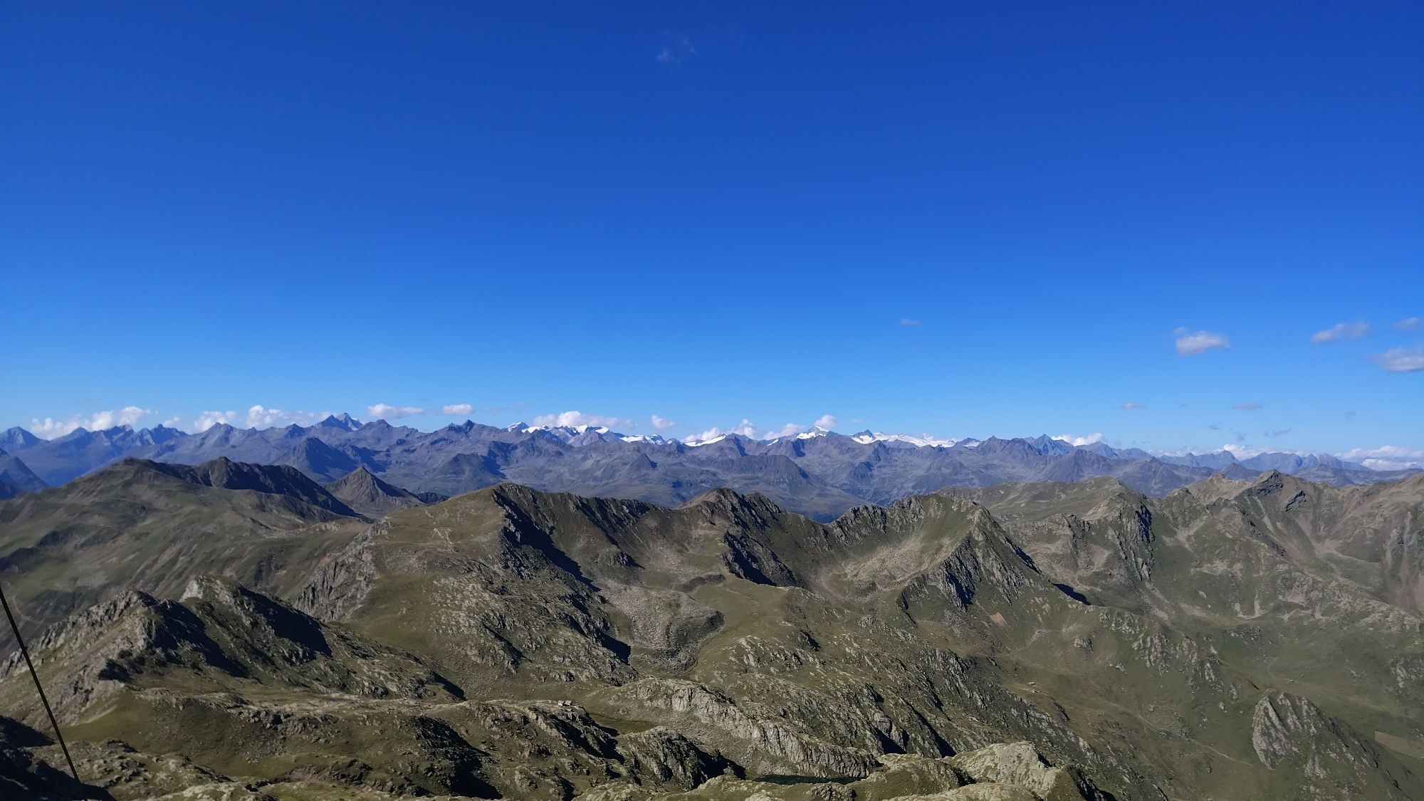
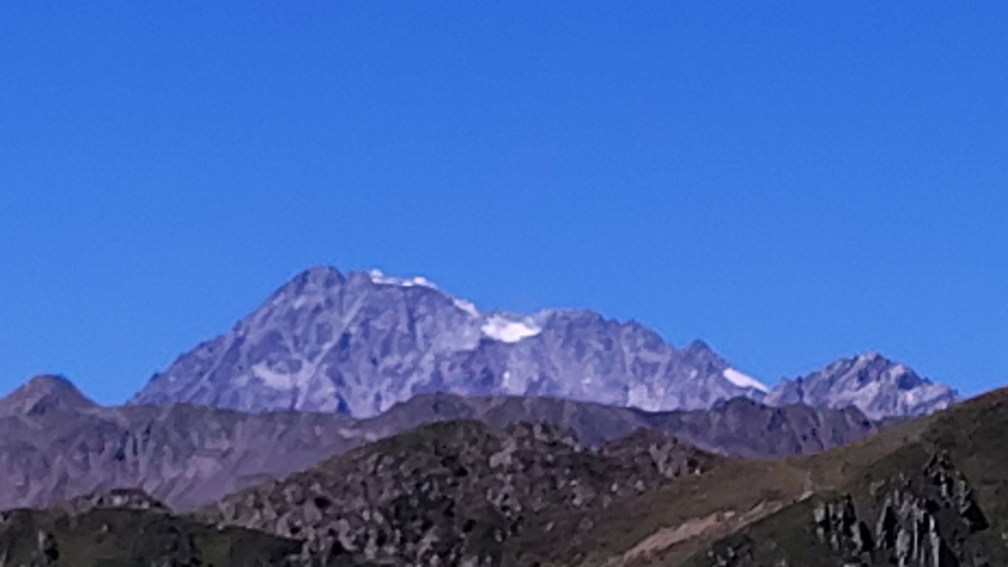
Starting from the valley head in San Maddalena/Val Casies Valley (1460m, refreshment point, parking), turn right over the stream of the valley and follow the markings no. 12 up to the Pfoital Valley and the alpine tree line. Continue straight into the valley to the Pfoialm (2134m, not a refreshment point) and through the Almtal, on a comfortable road, uphill to the fork. There, turn right, and by following the markings no. 13 climb upwards into the rear Hintere Gsieser Lenke (2539 m; beyond it, reach the lake Schwarzsee in just a few minutes via a trail (2455m). From the lake Schwarzsee, follow the trail no. 12 (Bonner Höhenweg) and then turn into the forking climb tracks (marked), southwards, continue over rocky and grassy terrain and finally over boulders reach the Riepenspitze (2774m). Return: From the summit, follow the markings no. 47, initially along the edgy northwest ridge, then the steep western side and finally across pastoral terrain down to the Stumpfalm (2001m, refreshment point). Still on path no. 47, continue on the serpentine forest road through beautiful woods all the way to the head of the valley and San Maddalena.
Obľúbené výlety v okolí
-
4,6
Mountain hike to Mountain „Lutterkopf and Durakopf (2145/2275m)“
strednáHorská turistika 11,8 km -
5,0
Antholzer See - Steinzger Alm
strednáTuristika 7,48 km -
4,9
Oberhausalm - Jagdhaushütte
svetloTuristika 14,0 km -
4,7
Von Kalkstein auf das Toblacher Pfannhorn (2.663 m) und Marchkinkele
strednáTuristika 14,2 km -
5,0
Jagdhausalm und Pfauenauge
svetloTuristika 14 km -
4,2
Seespitze
strednáTuristika 13,7 km -
4,0
Innervillgraten - Kalkstein - Alfenalm - Schönegg
strednáTuristika 12,6 km -
4,5
Thurntaler Rundweg - Parggenspitze - Hochrast
strednáTuristika 18,0 km -
5,0
Rote Wand
strednáVysoké turné 12,0 km -
5,0
Trojertal, Hintere Trojeralm
svetloTuristika 8,97 km
Turistika a stopovanie


Nenechajte si ujsť ponuky a inšpiráciu na ďalšiu dovolenku
Vaša e-mailová adresa bol pridaný do poštového zoznamu.