


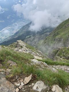
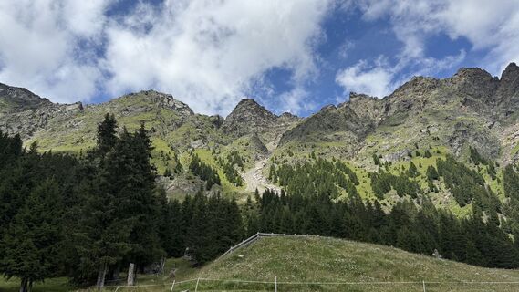
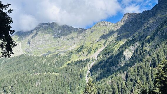
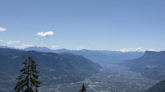
Algunder Rötelspitze peak from the Leiter Alm mountain hut


Fotografie našich používateľov
-
 © Norbert HerbigVytvorené dňa 16.10.2025
 -
 © Norbert HerbigVytvorené dňa 16.10.2025
 -
 © Norbert HerbigVytvorené dňa 16.10.2025
 -
 © Klaus ScharfeVytvorené dňa 14.10.2025
 -
 © SilkeVytvorené dňa 21.08.2025
 -
 © SilkeVytvorené dňa 20.08.2025
 -
 © Dino DeckVytvorené dňa 19.08.2025
 -
 © Daniel CondeVytvorené dňa 07.08.2025
 -
 © Daniel CondeVytvorené dňa 07.08.2025
 -
 © Daniel CondeVytvorené dňa 07.08.2025
 -
 © Daniel CondeVytvorené dňa 07.08.2025
 -
 © Daniel HärtelVytvorené dňa 27.07.2025
 -
 © Daniel HärtelVytvorené dňa 27.07.2025
 -
 © Daniel HärtelVytvorené dňa 27.07.2025
 -
 © Daniel HärtelVytvorené dňa 27.07.2025
 -
 © Daniel HärtelVytvorené dňa 27.07.2025
 -
 © Daniel HärtelVytvorené dňa 27.07.2025
 -
 © Daniel HärtelVytvorené dňa 27.07.2025
 -

 © Eva TheißVytvorené dňa 22.07.2025
 -
 © Eva TheißVytvorené dňa 22.07.2025
 -
 © Eva TheißVytvorené dňa 22.07.2025
 -
 © Eva TheißVytvorené dňa 22.07.2025
 -
 © Eva TheißVytvorené dňa 22.07.2025
 -
 © Eva TheißVytvorené dňa 22.07.2025
 -
 © Eva TheißVytvorené dňa 22.07.2025
 -
 © Daniel HärtelVytvorené dňa 17.07.2025
 -
 © Daniel HärtelVytvorené dňa 17.07.2025
 -
 © Daniel HärtelVytvorené dňa 17.07.2025
 -
 © Daniel HärtelVytvorené dňa 17.07.2025
 -
 © Daniel HärtelVytvorené dňa 17.07.2025
 -

 © Michael PutzVytvorené dňa 10.07.2025
 -

 © Kevin HöllriglVytvorené dňa 14.09.2024
 -
 © Thomas TrautweinVytvorené dňa 26.08.2023
 -
 © Thomas TrautweinVytvorené dňa 26.08.2023
 -
 © Thomas TrautweinVytvorené dňa 26.08.2023
 -
 © Thomas TrautweinVytvorené dňa 26.08.2023
 -

 © Rainer PieperVytvorené dňa 06.08.2021
 -
 © Rainer PieperVytvorené dňa 06.08.2021
 -
 © Rainer PieperVytvorené dňa 06.08.2021
 -
 © Rainer PieperVytvorené dňa 06.08.2021
 -
 © Rainer PieperVytvorené dňa 06.08.2021
 -
 © Rainer PieperVytvorené dňa 06.08.2021
 -
 © Rainer PieperVytvorené dňa 06.08.2021
 -
 © Rainer PieperVytvorené dňa 06.08.2021
 -
 © Rainer PieperVytvorené dňa 06.08.2021
 -
 © Rainer PieperVytvorené dňa 06.08.2021
 -
 © Rainer PieperVytvorené dňa 06.08.2021
 -
 © Rainer PieperVytvorené dňa 06.08.2021


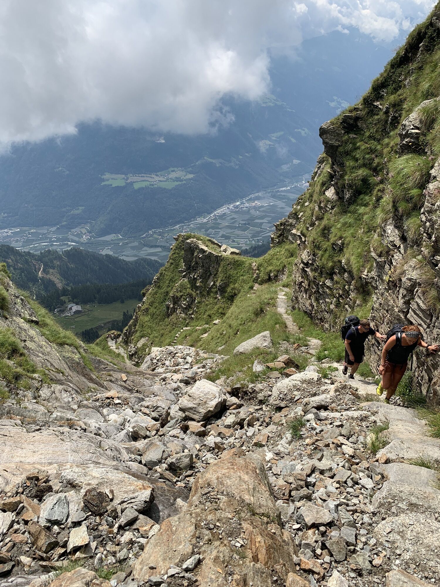


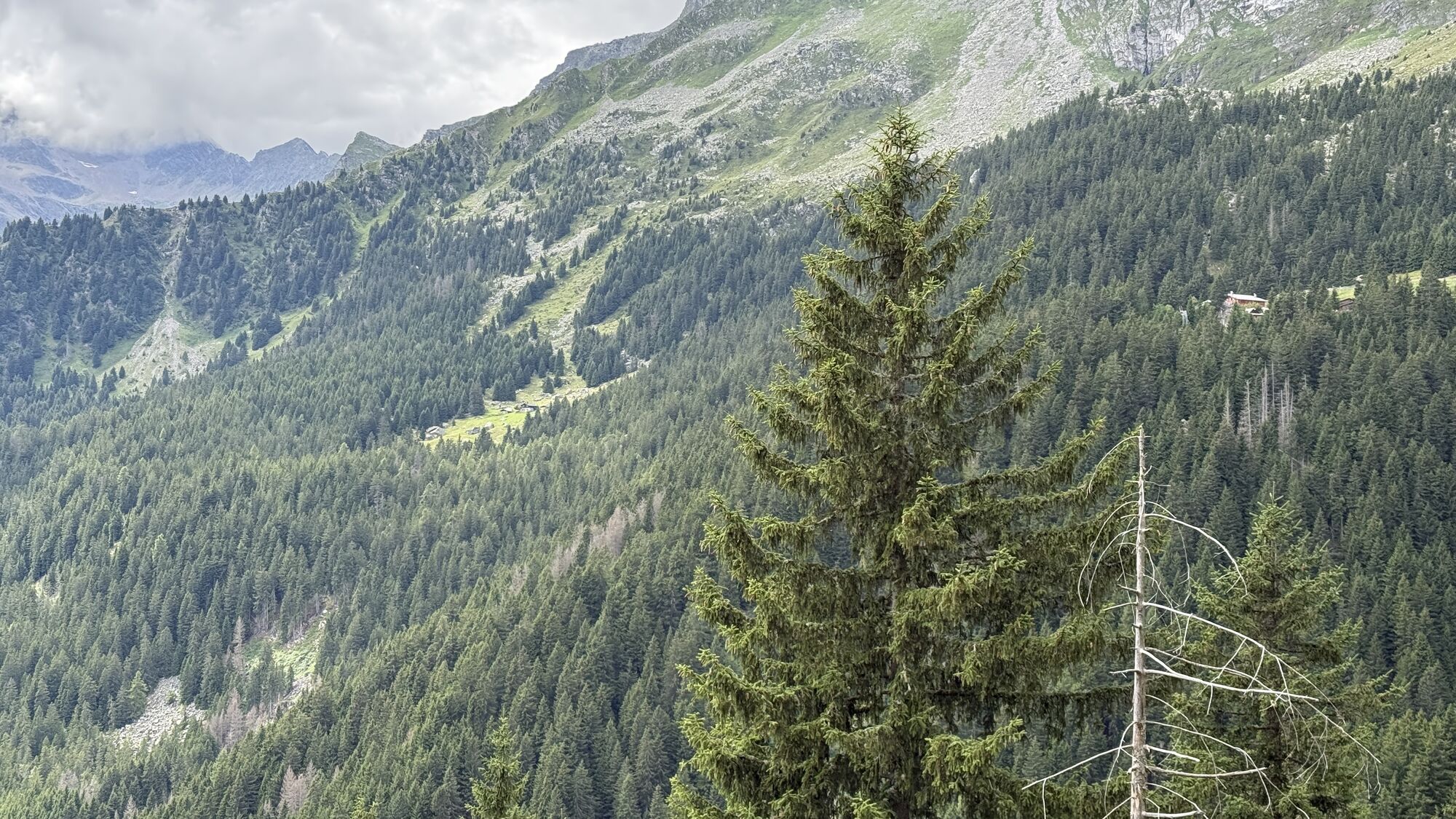
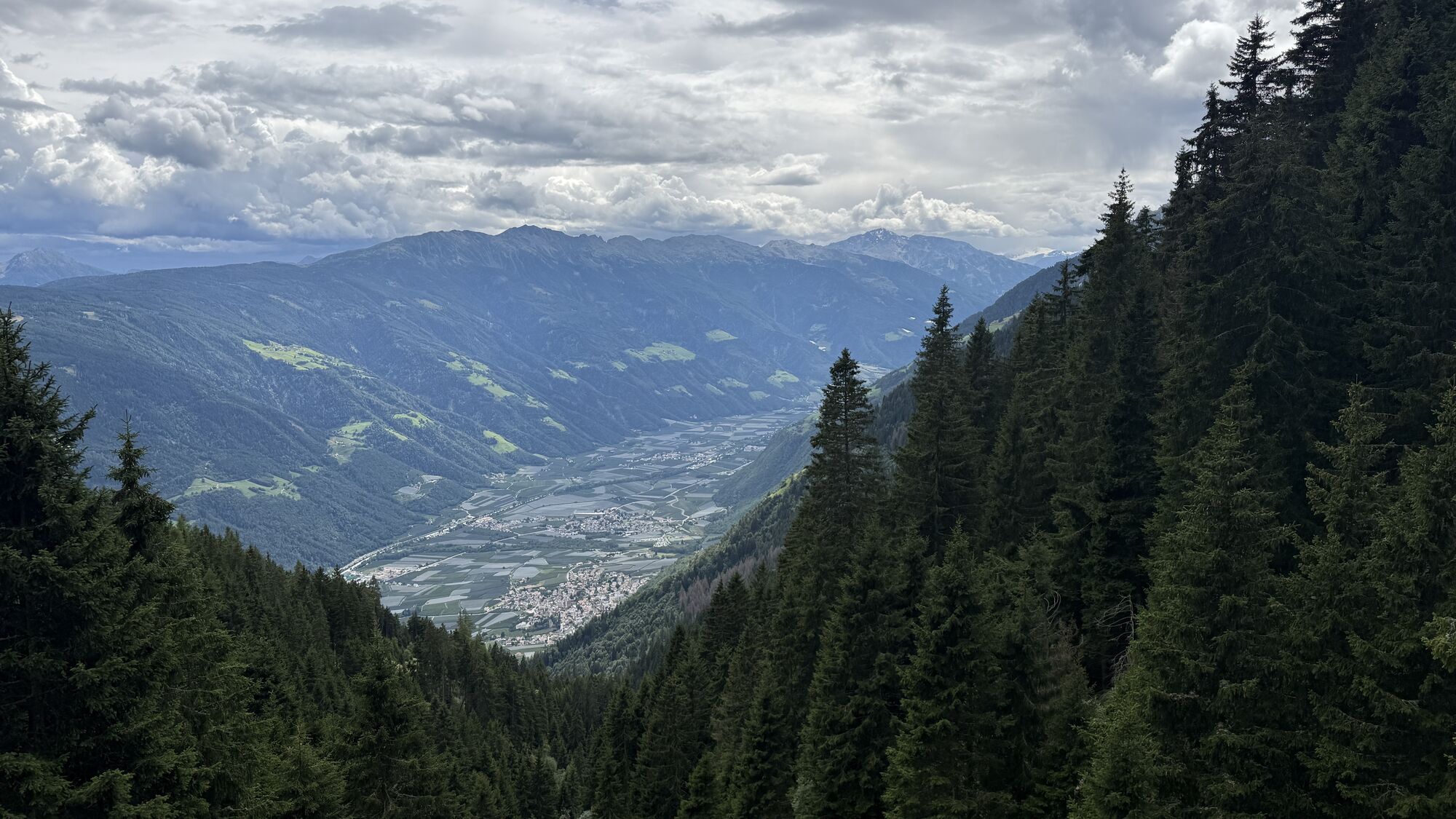

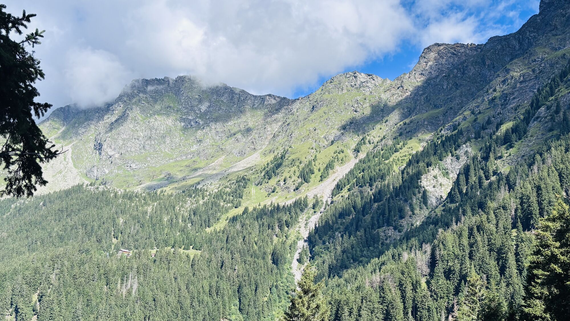

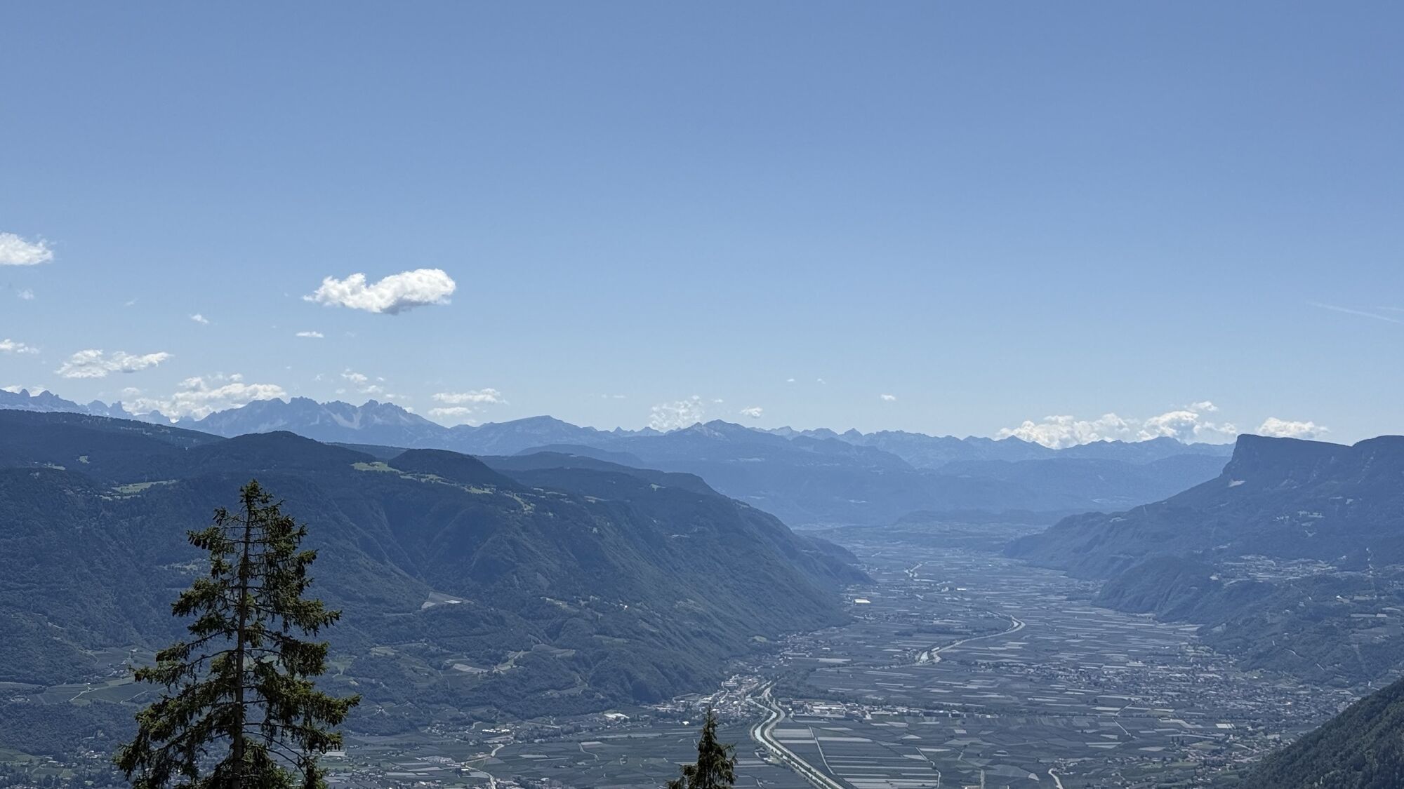
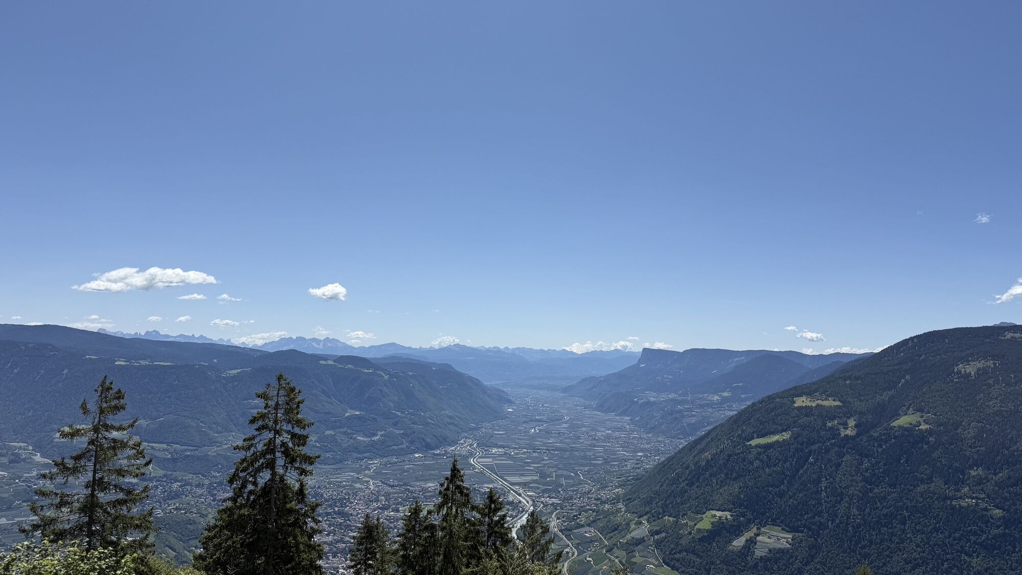

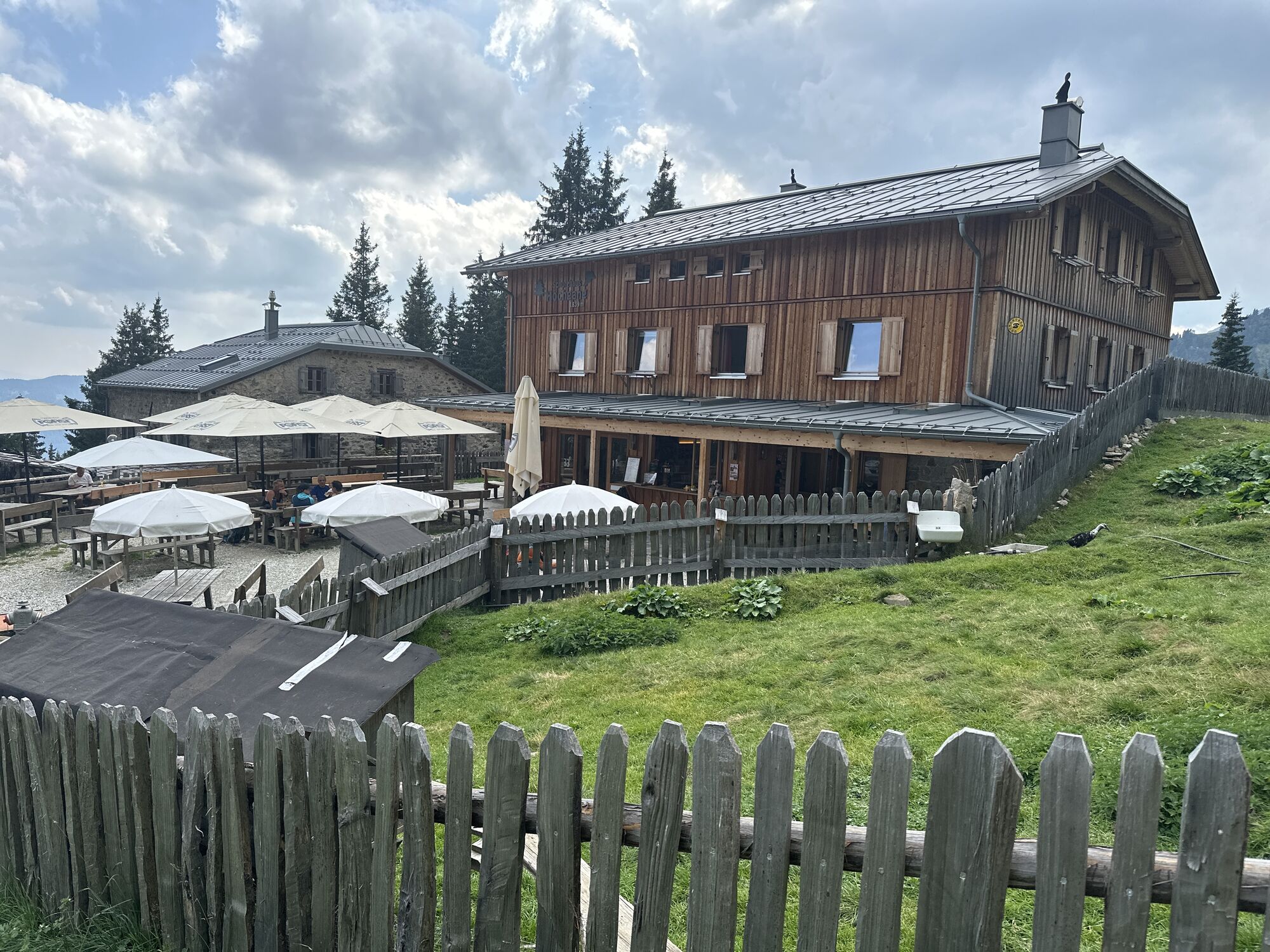
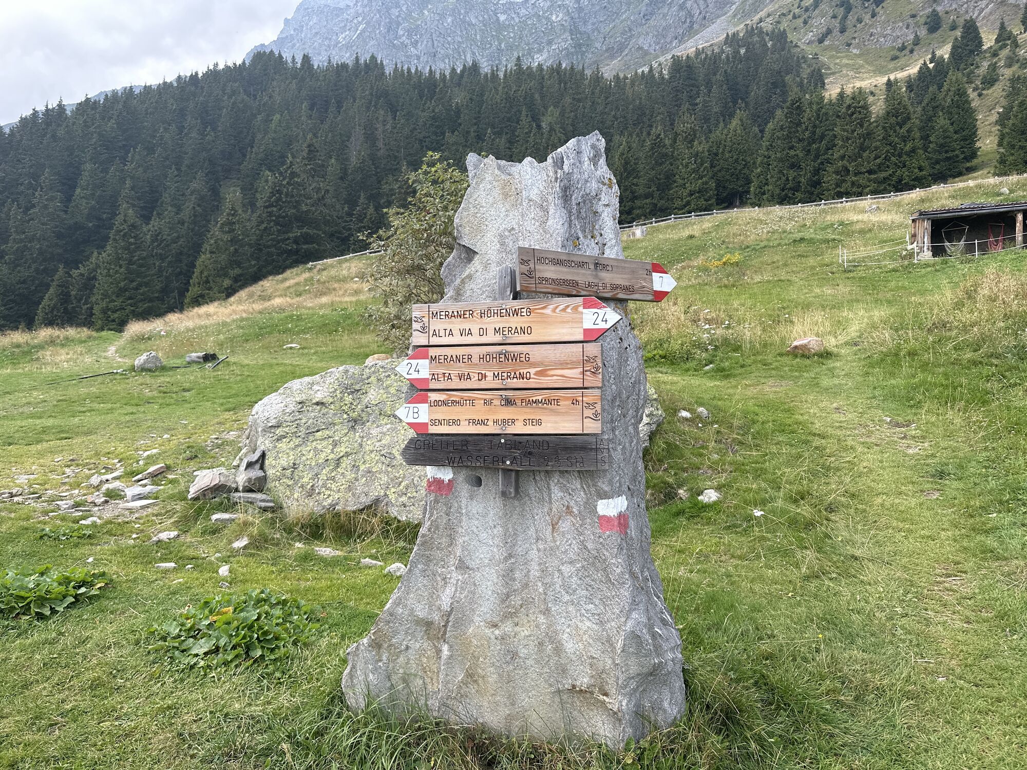
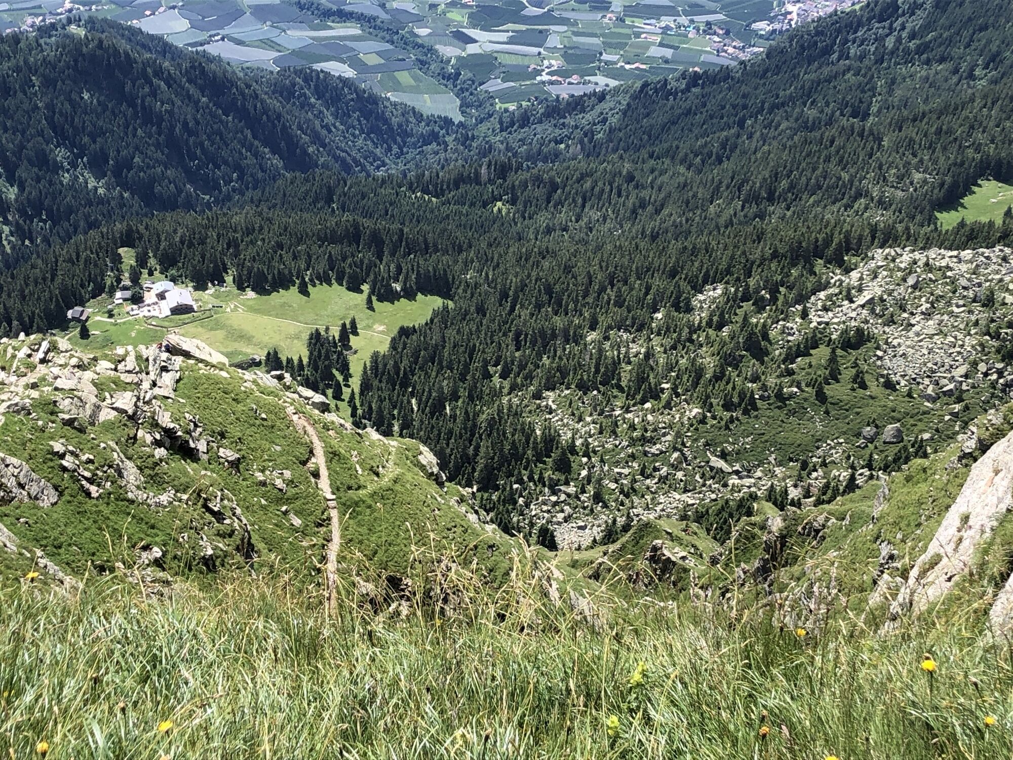
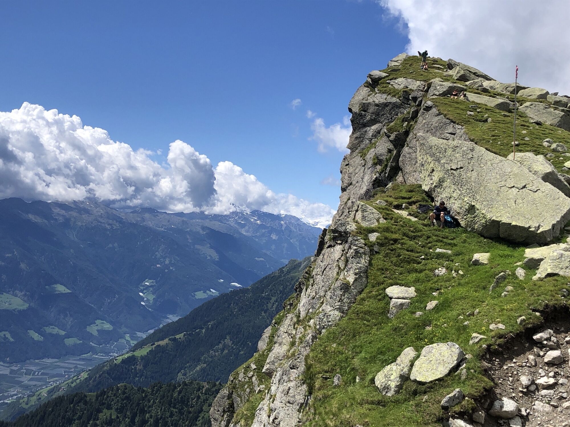


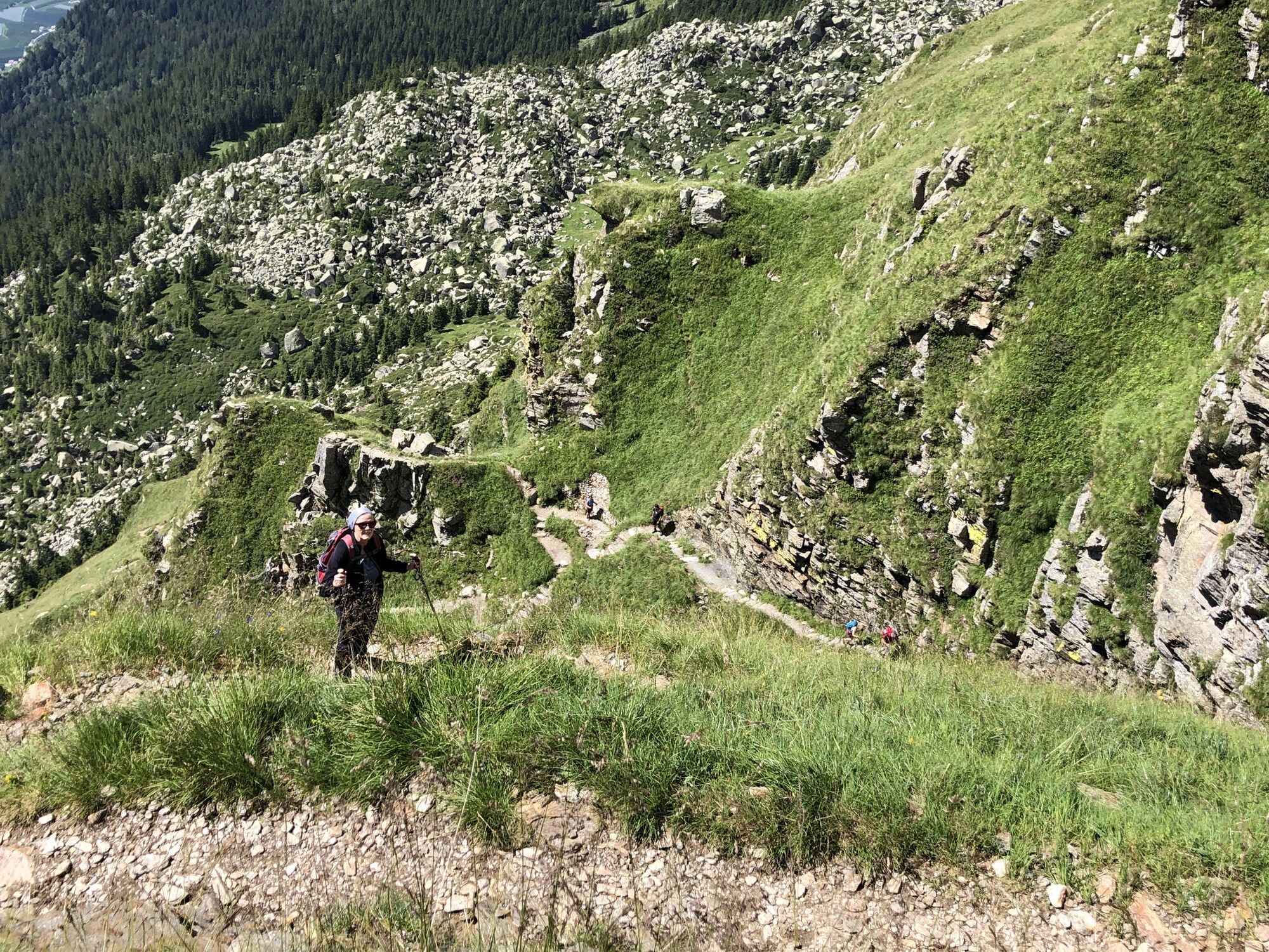
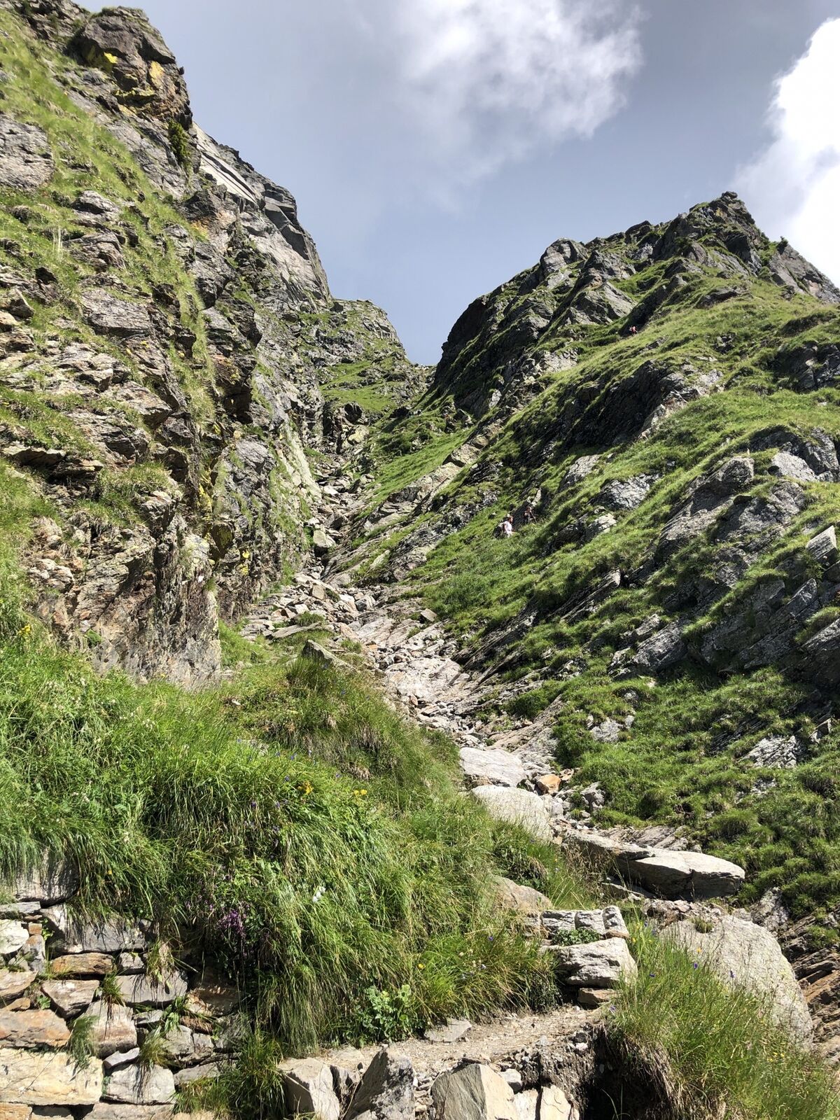

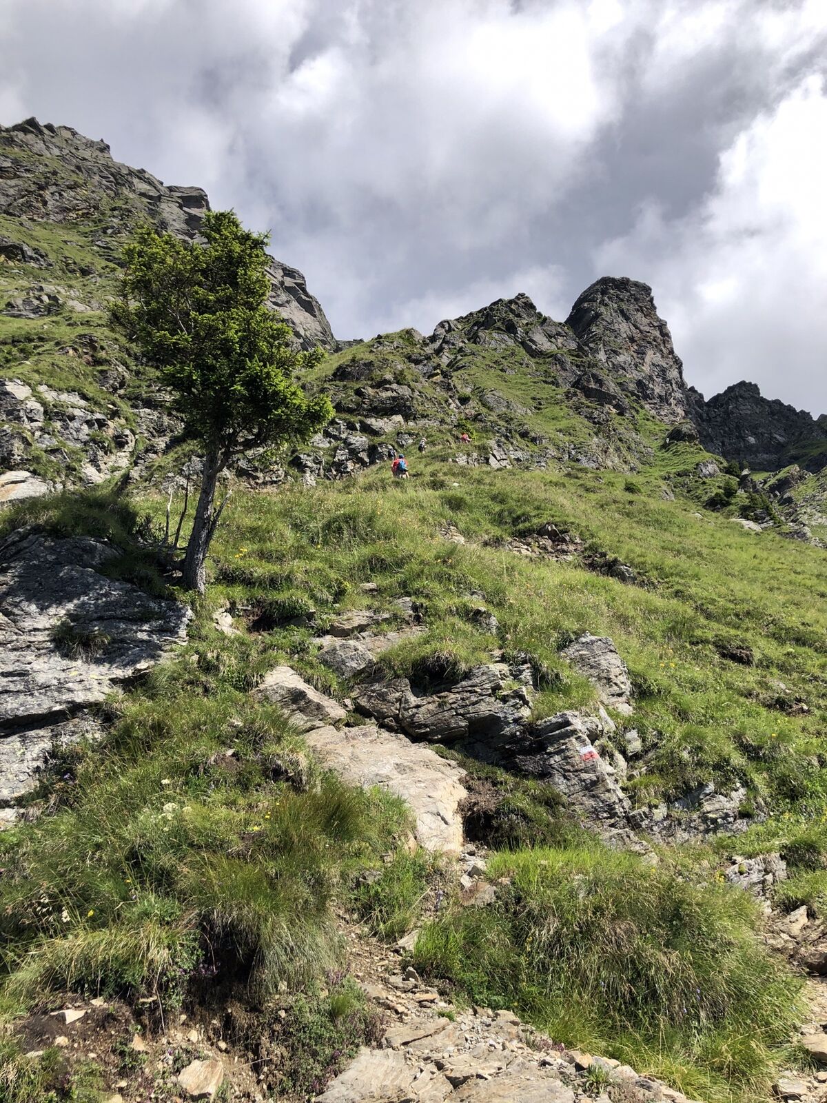
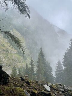
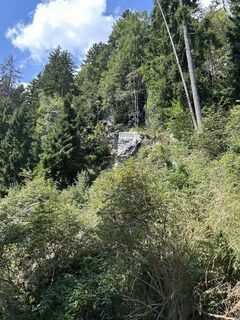
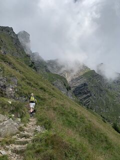
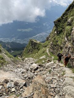
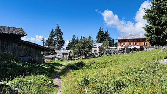
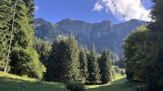
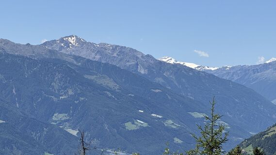
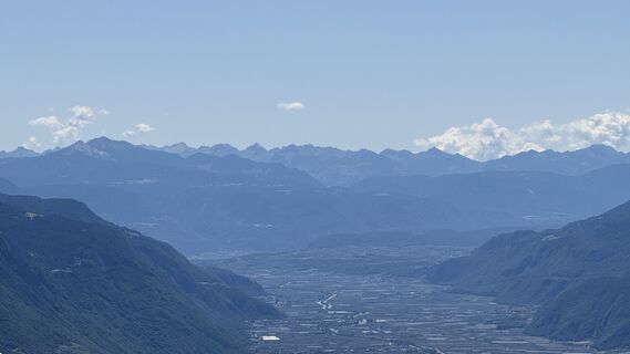
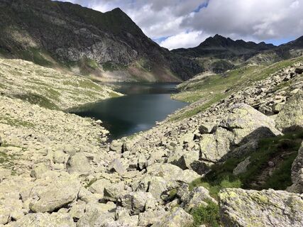
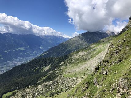
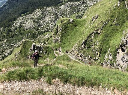
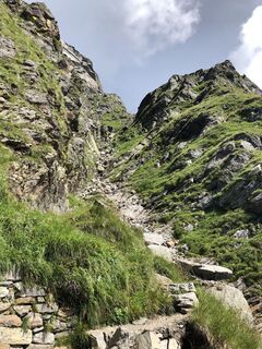
The starting point of this beautiful mountain tour is the Leiter Alm mountain hut that you can comfortably reach by taking the chair lift from Algund/Lagundo and the gondola basket lift from Vellau/Velloi....
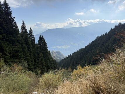
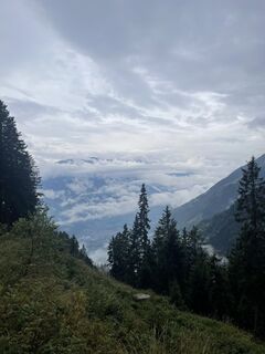
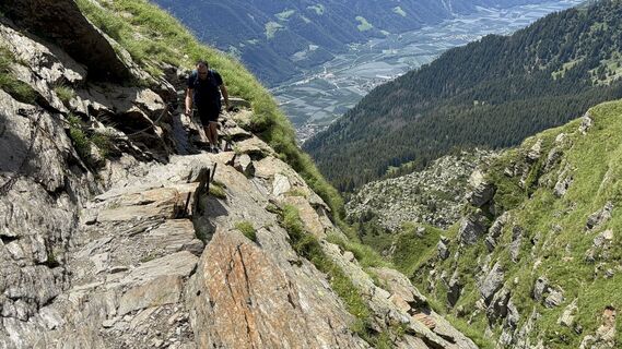
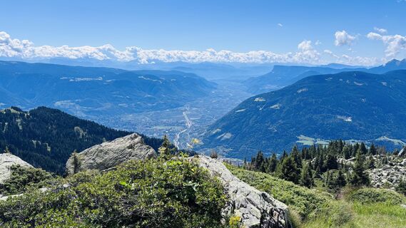
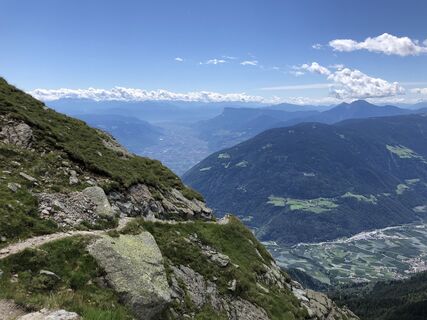
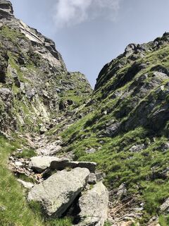
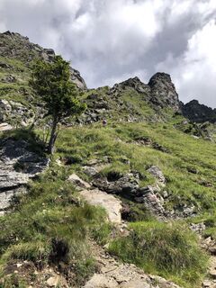
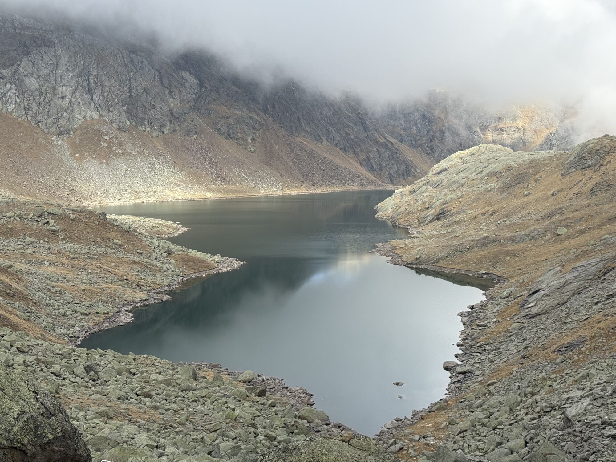
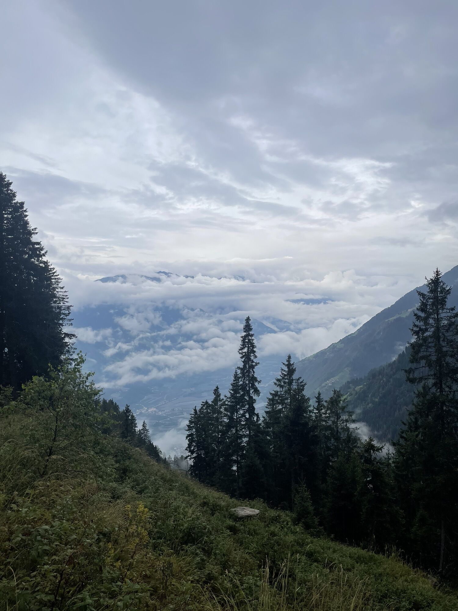
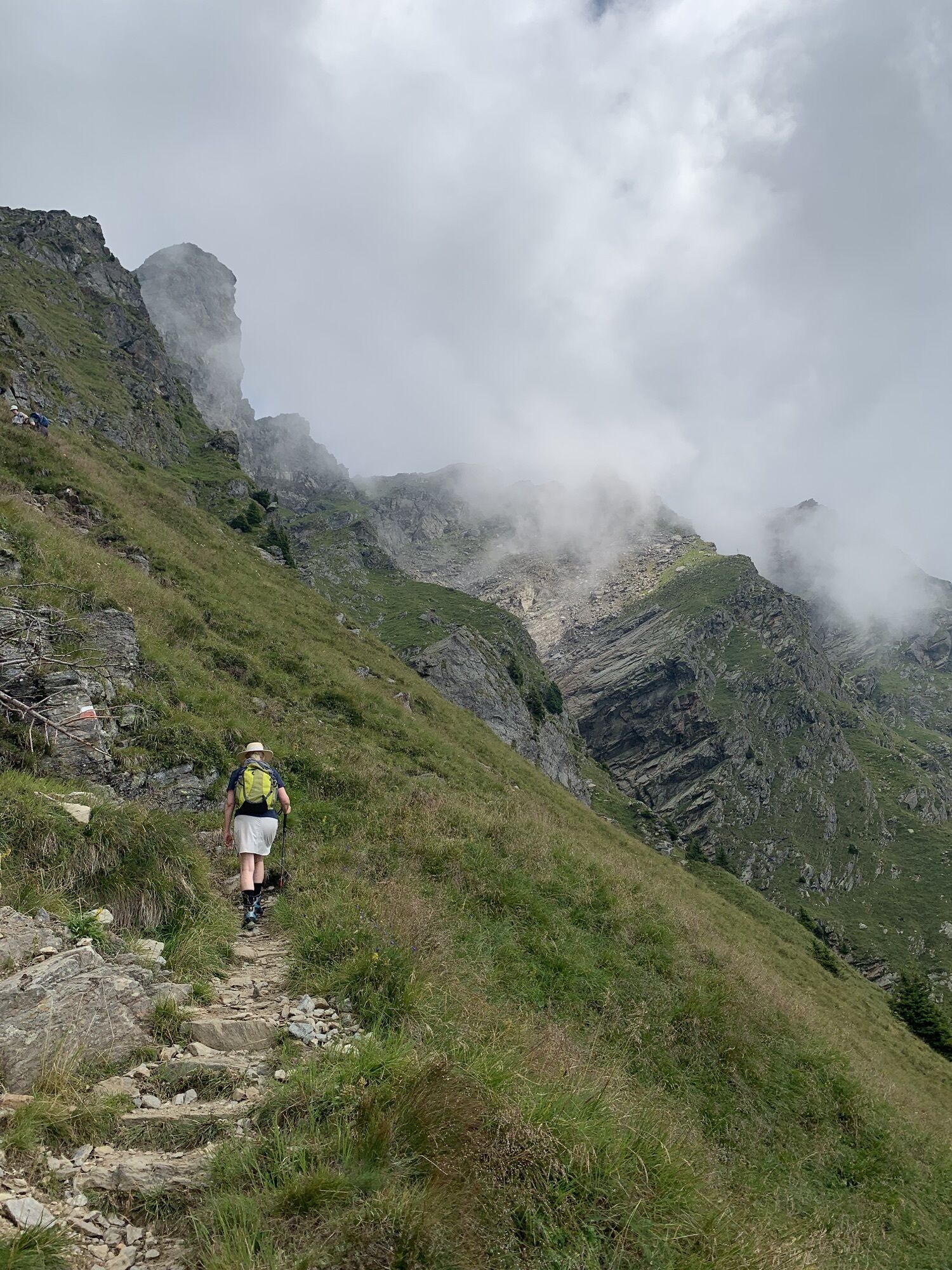
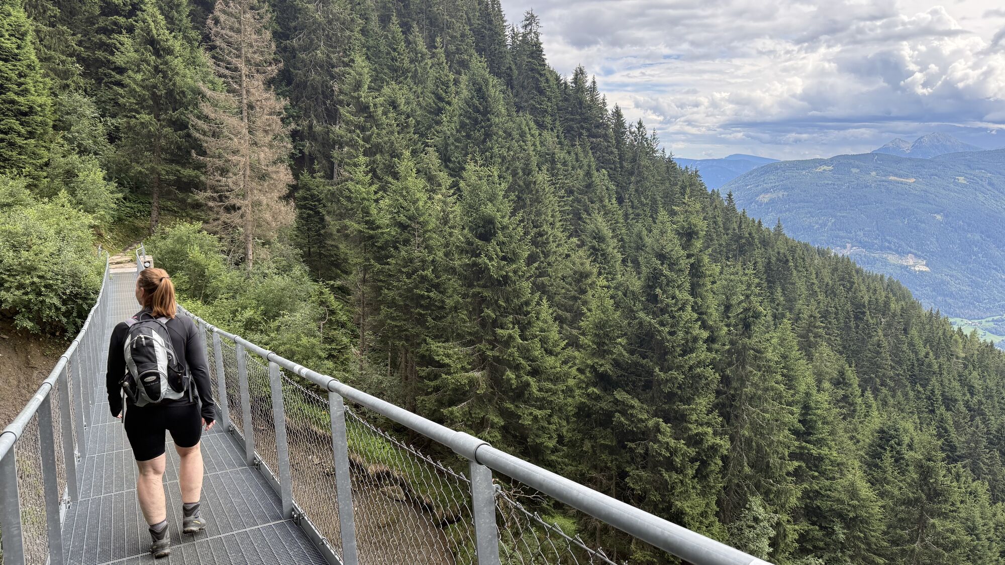
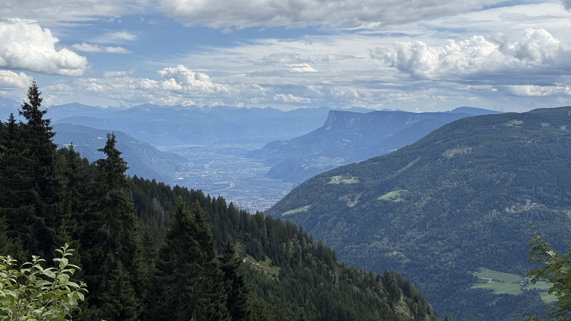
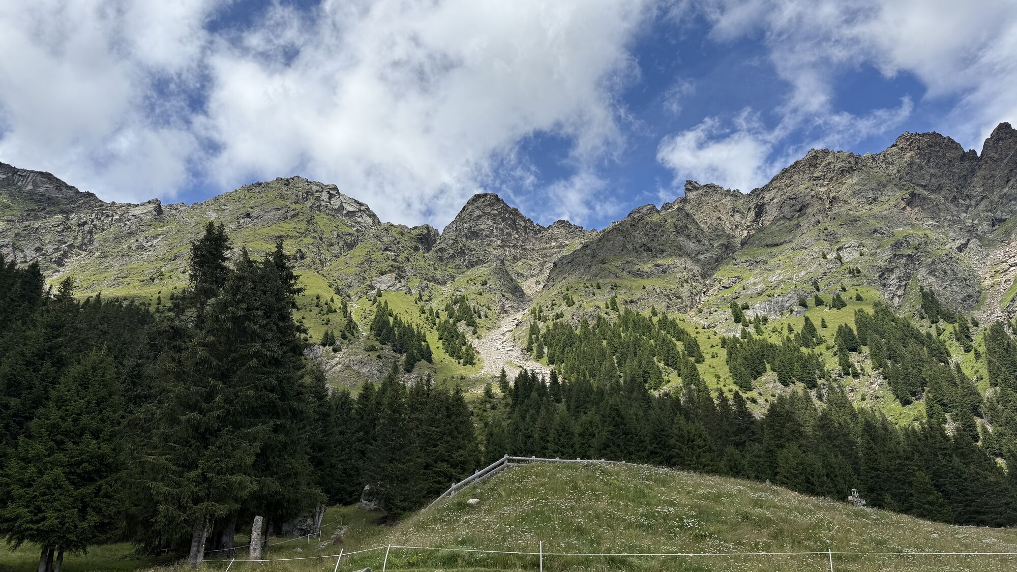
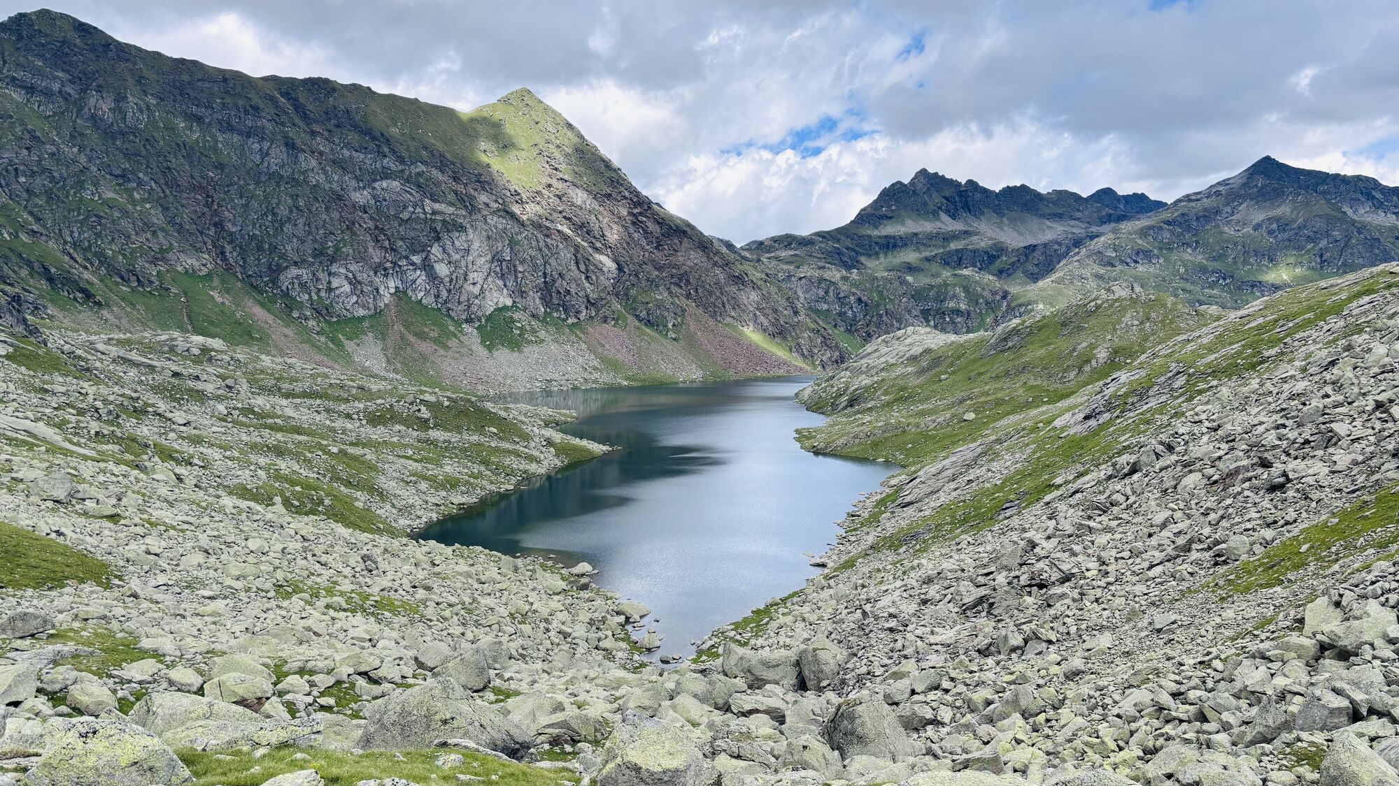
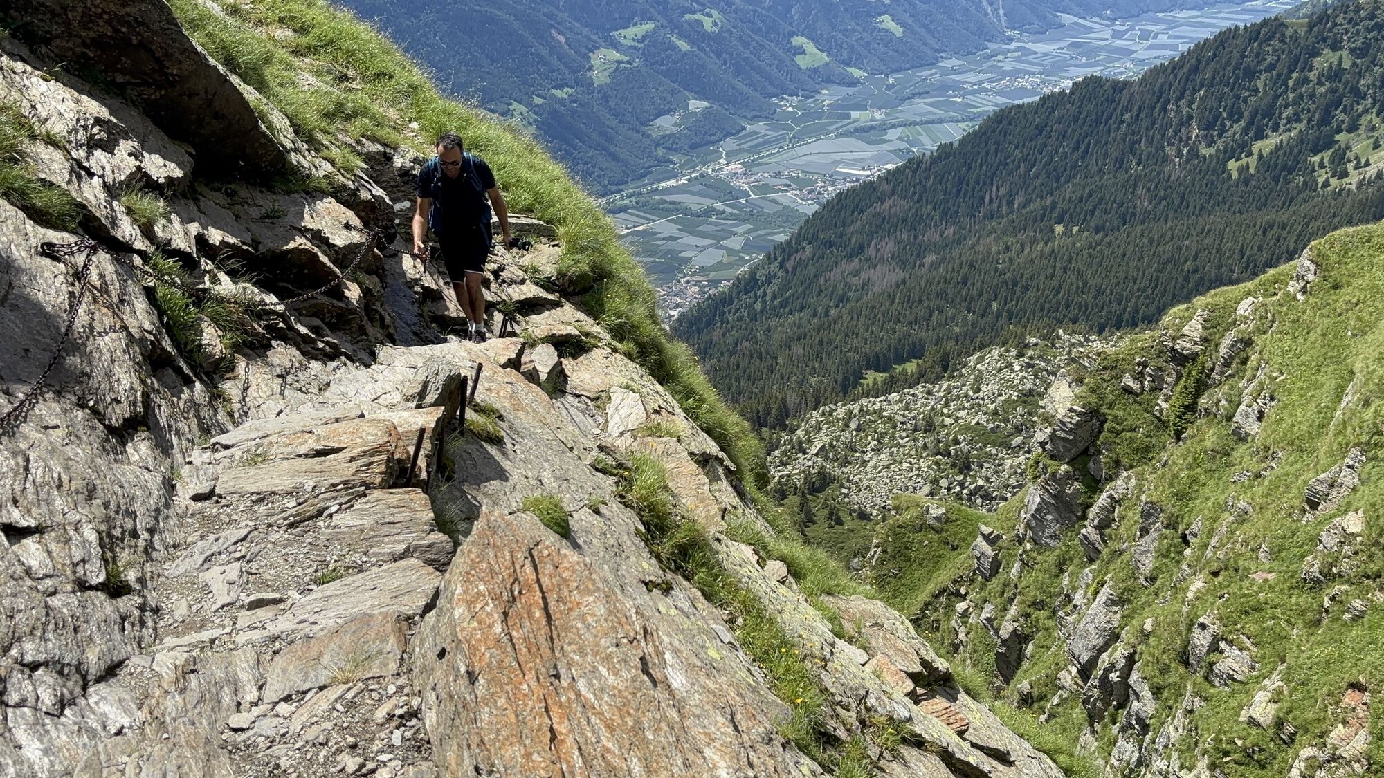
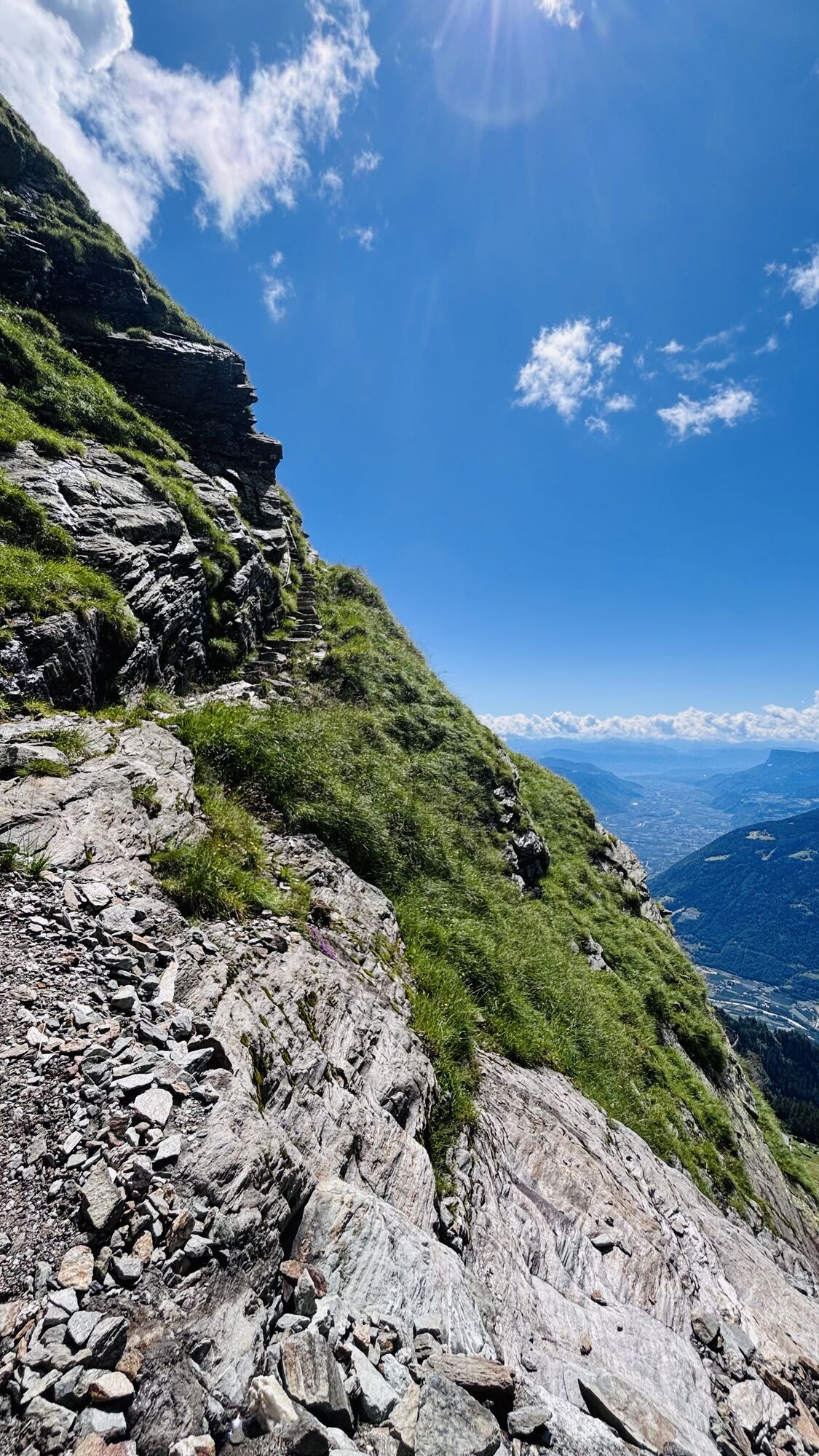
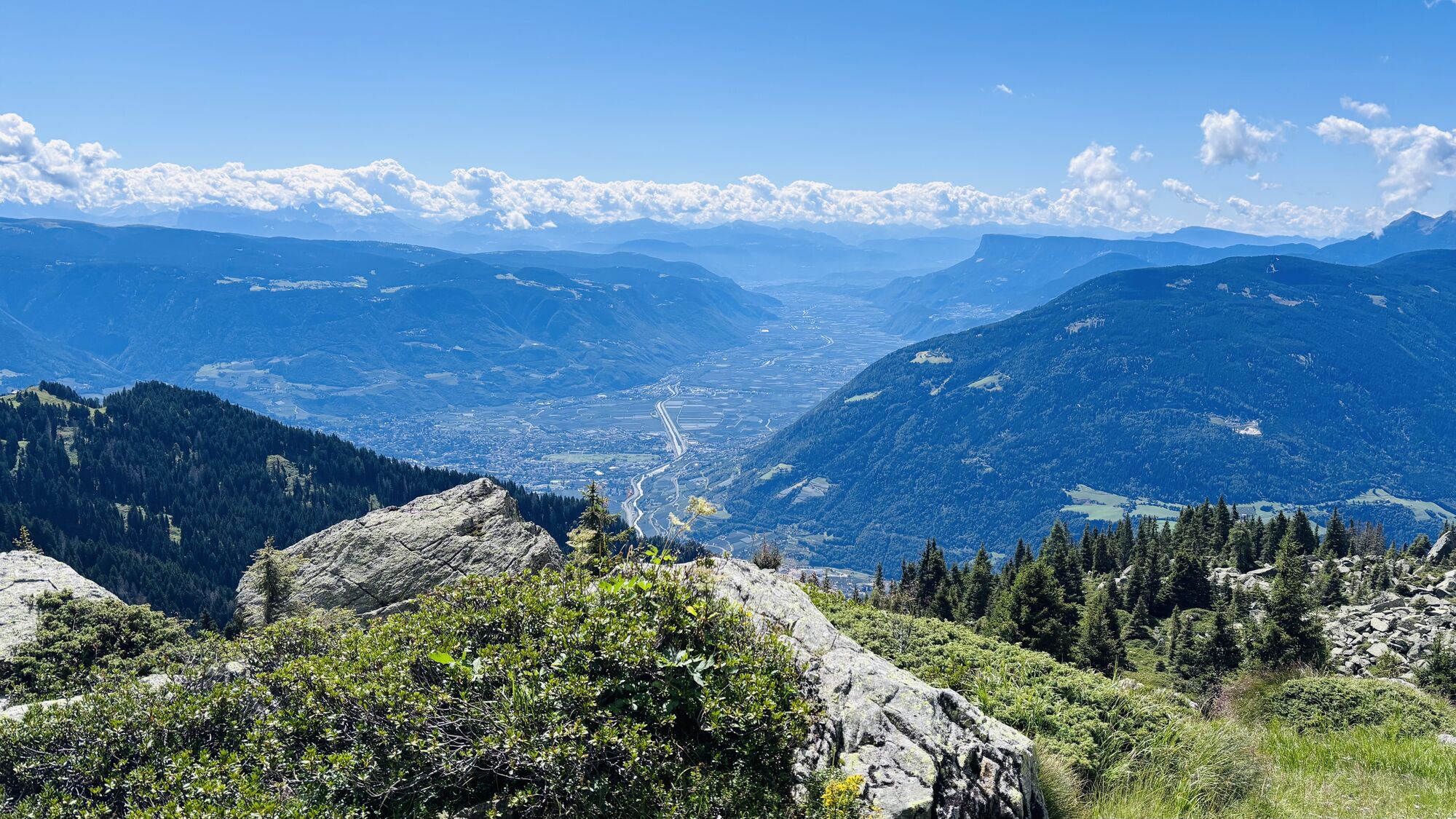
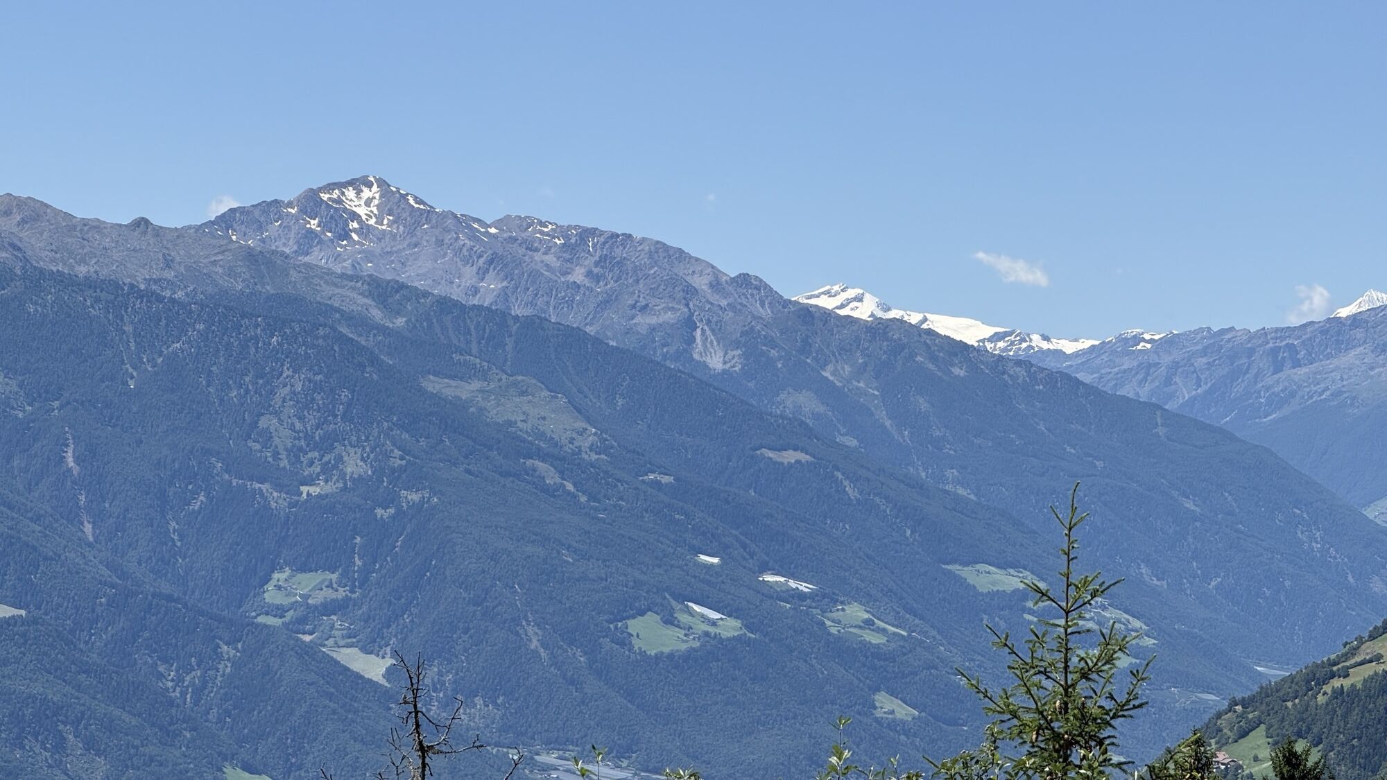
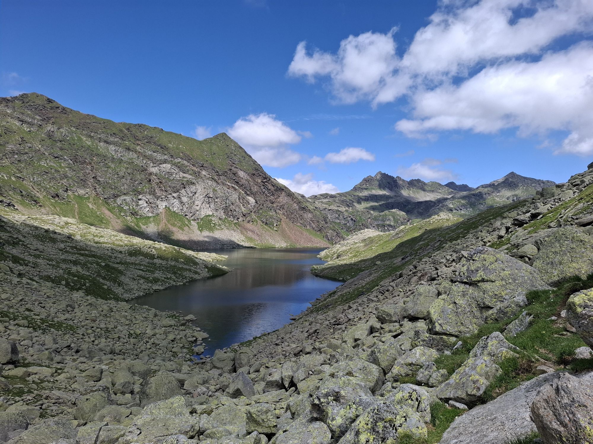
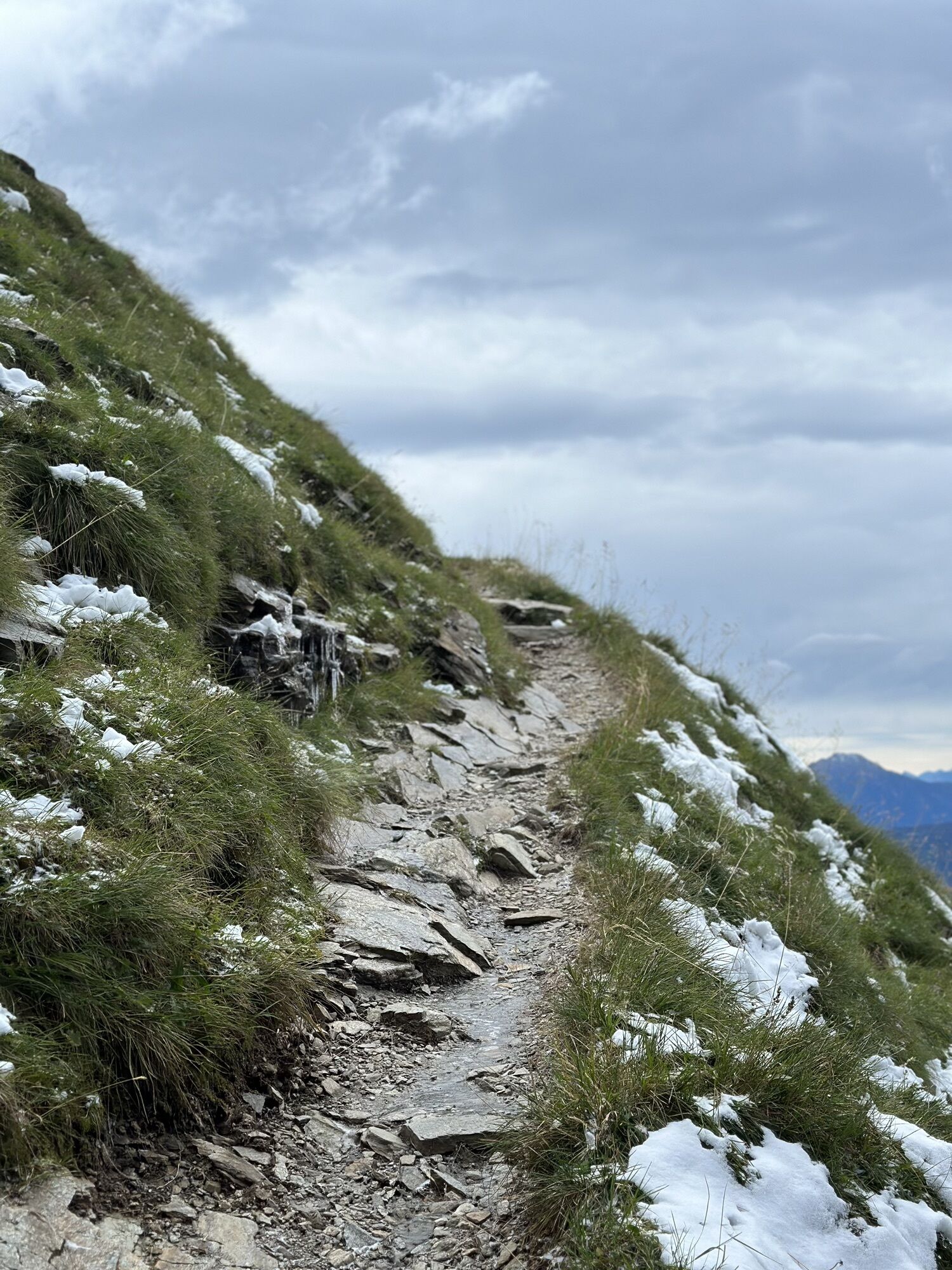
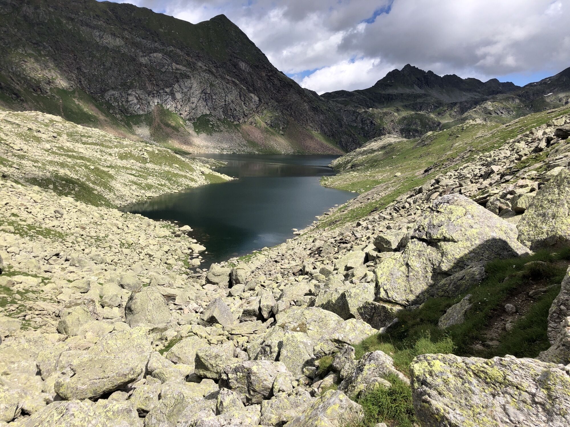
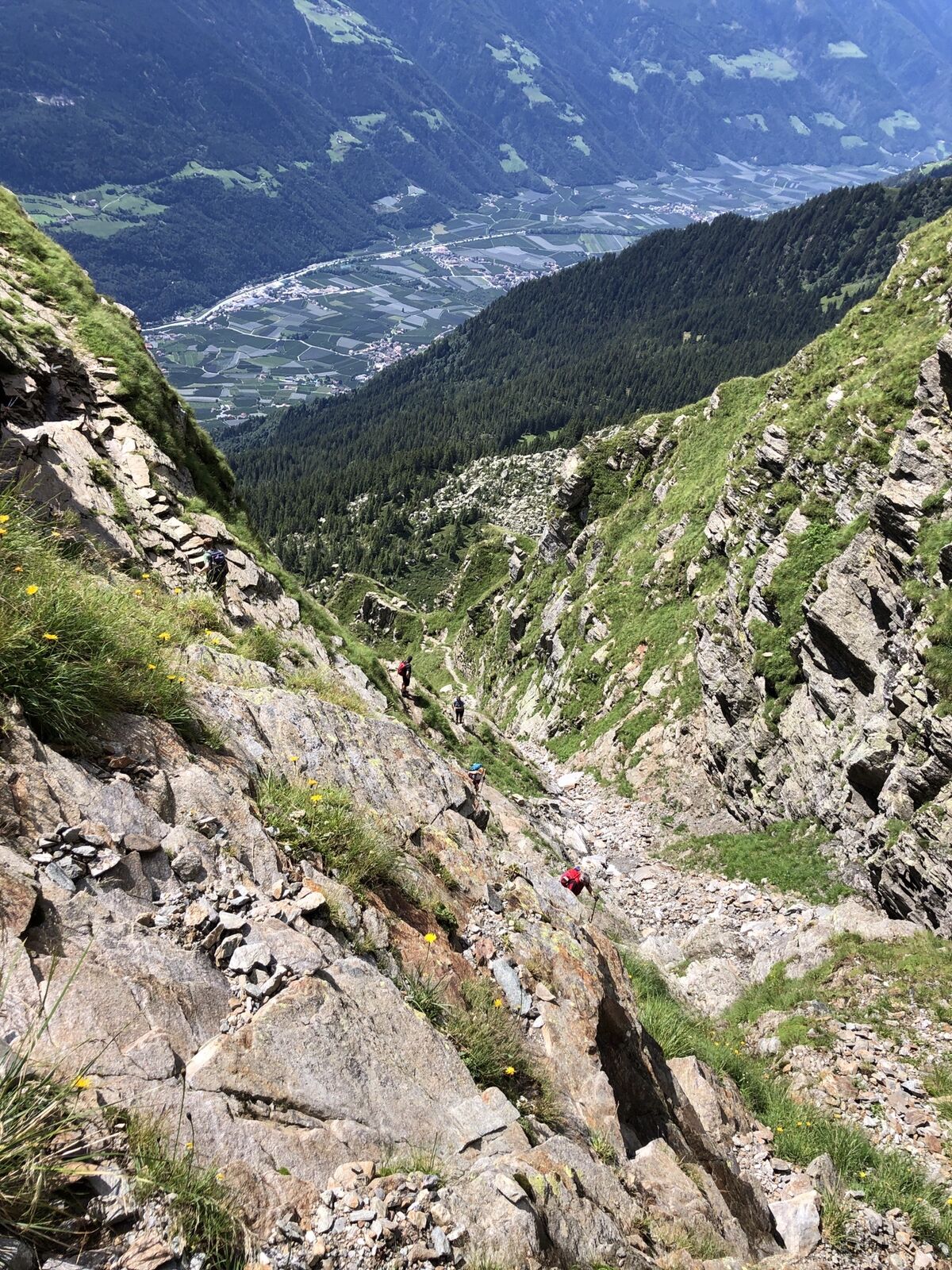
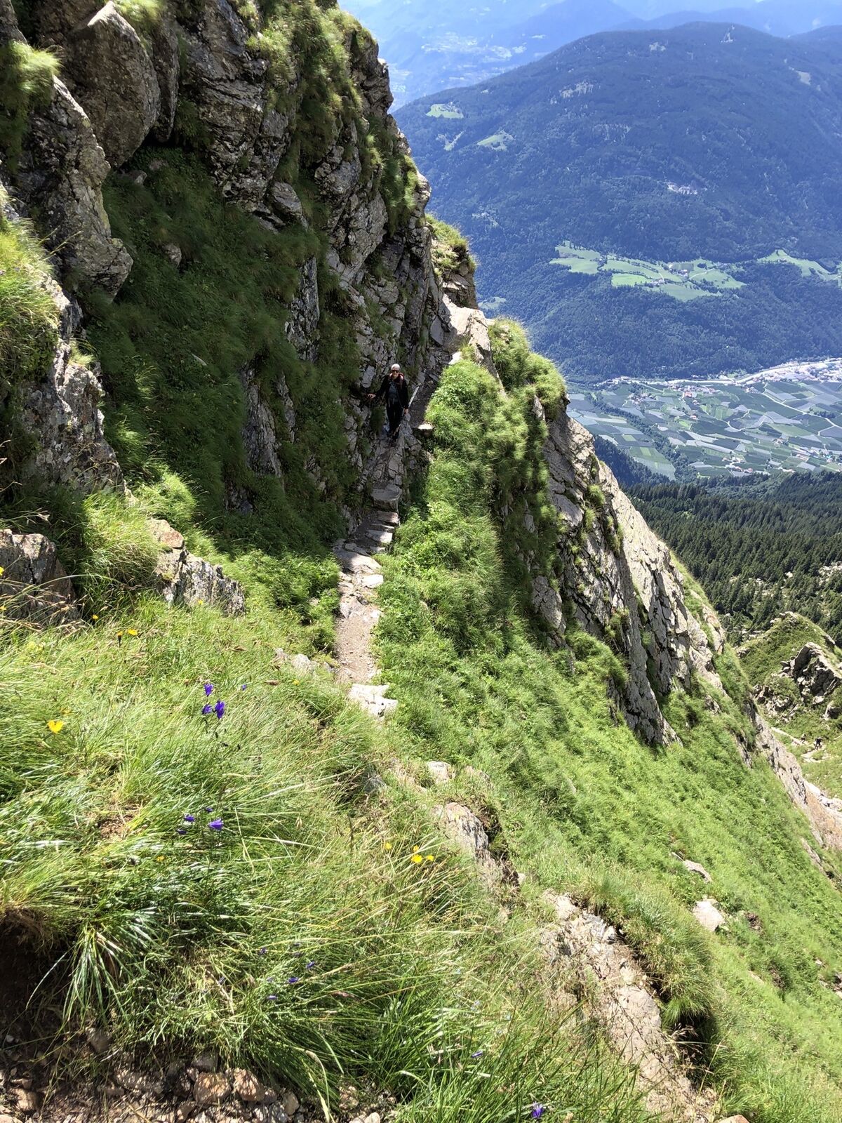
The starting point of this beautiful mountain tour is the Leiter Alm mountain hut that you can comfortably reach by taking the chair lift from Algund/Lagundo and the gondola basket lift from Vellau/Velloi. First hike along the Meraner Höhenweg high alpine trail no. 24 westwards until the Hochganghaus refuge (1,839 m) and continue along the steep, exposed trail no. 7 secured with ropes and chains up to the Hochgangscharte pass (2,455 m). From there, trail no. 10 leads eastwards to the Rötelspitze peak (2,625m). Take the same route to return to the Leiter Alm mountain hut (trails no. 10, no. 7 and no. 24). Hikers with a good physical condition can also choose a slightly longer descent: From the Hochgangscharte pass, trail no. 7 leads above the Langsee lake and later meets trail no. 22 that takes you past the Grünsee lake down to the Oberkaser Alm mountain hut. Continue along trail no. 22 past the Kaserlacke and the Pfitscherlacke lakes until the junction with trail no. 25B that you follow up until the Taufenscharte pass (about 100 metres of altitude difference). Descend along the rather steep trail with serpentines until you meet trail no. 24 (Meraner Höhenweg high alpine trail) and follow it until the Leiter Alm mountain hut, where you take the gondola basket lift to Vellau/Velloi and then the chair lift or bus back to Algund/Lagundo.

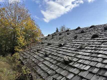
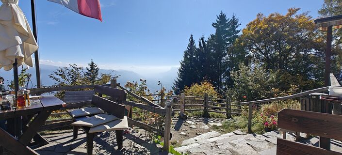
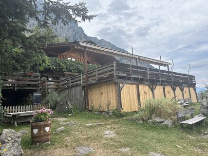
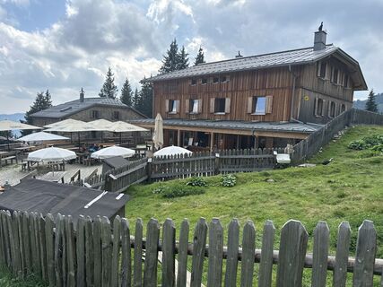
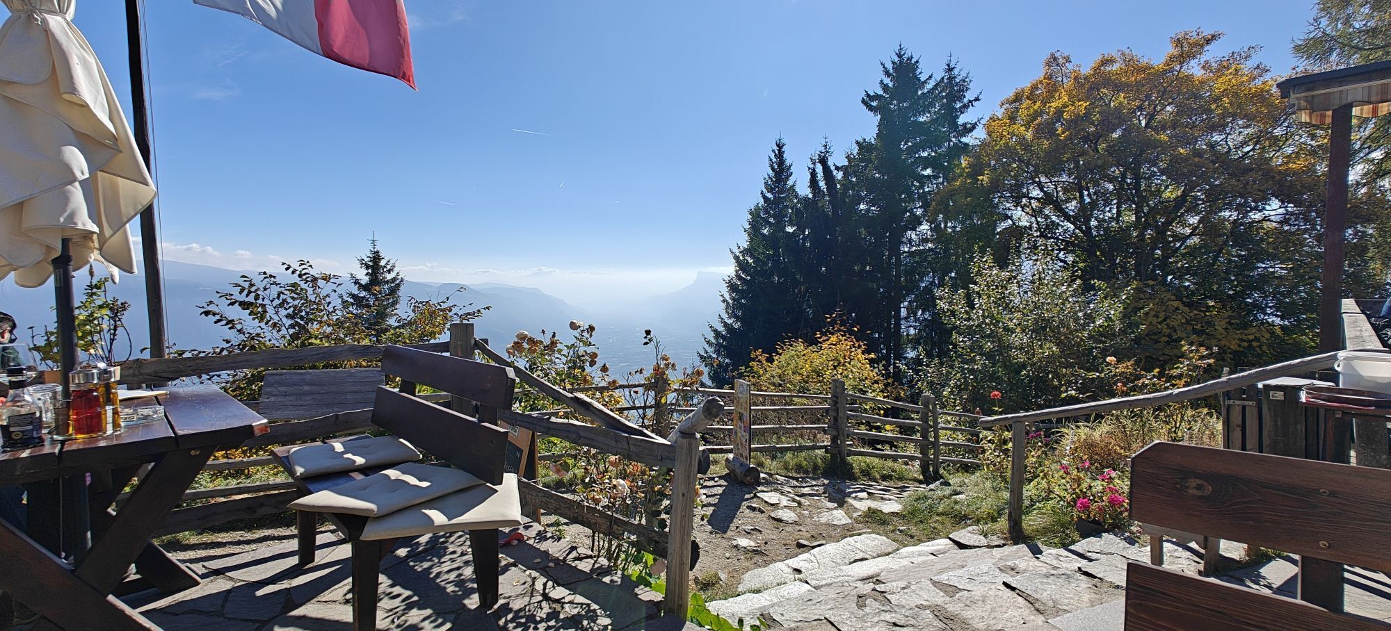
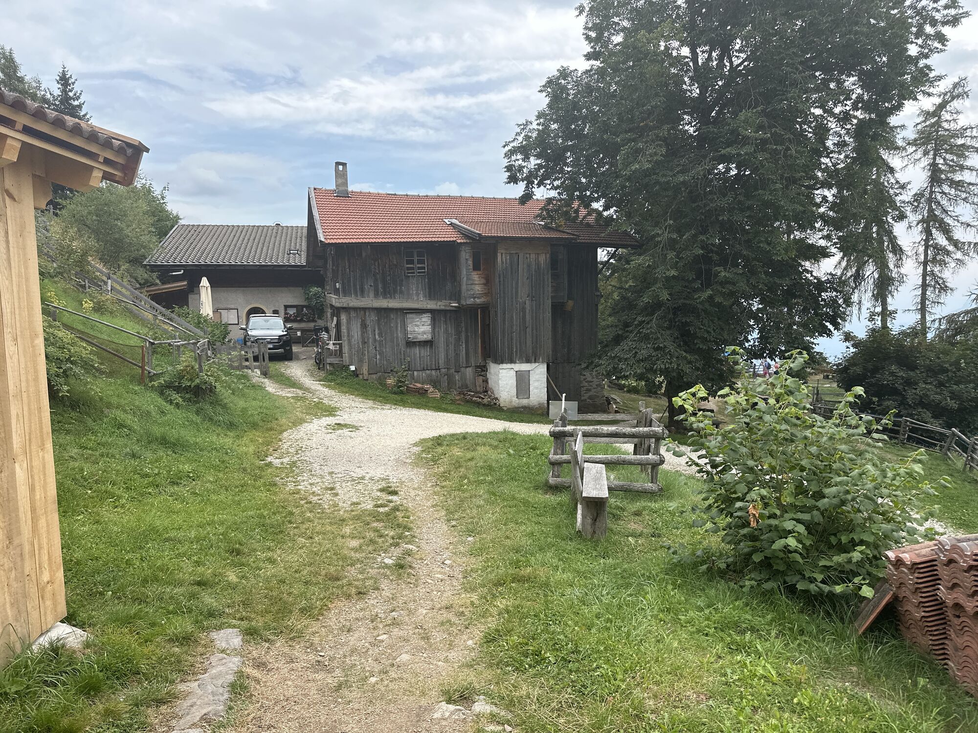
Restaurant Leiter Alm, Schutzhütte Hochgang, Oberkaseralm
Áno
Áno
Áno
Bergschuhe
Diese Tour ist nur für schwindelfreie und trittsichere Wanderer geeignet. Bergerfahrung, Trittsicherheit und Schwindelfreiheit sind für diese Wanderung, besonders bei den Serpentinen der Hochgangscharte, unerlässlich.
Mit dem Bus 235, 237 oder 213 zur Talstation des Sessellifts in Algund/Mitterplars oder mit dem Bus 235 direkt nach Vellau. Dort dann mit dem Korblift weiter zur Bergstation.
- Rathaus Algund
- Parkplatz Sessellift Mitterplars
- Parkplatz Talstation des Korblifts in Vellau
Obľúbené výlety v okolí
-
4,7
Algund Waalweg canal trail
svetloTuristika 4,44 km -
4,7
Leiteralm - Hochmuth - Vellau - Rundweg
svetloTuristika 5,89 km -
4,5
Meran Tappeinerweg
svetloTuristika 6,77 km -
4,9
Hirzer Almenrunde
svetloHorská turistika 9,02 km -
4,8
Naturns Unterstellbahn bis Texelbahn auf dem Meraner Höhenweg
strednáTuristika 9,77 km -
4,3
Vorderkaser - Eishof / Texelgruppe
svetloTuristika 4,83 km -
4,6
Passerschlucht
svetloTuristika 8,84 km -
4,6
Schenna Waalweg vom Prinz Rudolf
strednáTuristika 10,4 km -
5,0
Vellauer Felsenweg und Hans- Frieden Weg
ťažkéTuristika 5,69 km -
4,5
Aschbach / Rio Lagundo – Naturnser Alm mountain pasture - Vigiljoch/San Vigilio
strednáTuristika 10,3 km
Turistika a stopovanie


Nenechajte si ujsť ponuky a inšpiráciu na ďalšiu dovolenku
Vaša e-mailová adresa bol pridaný do poštového zoznamu.